







Adelberg mill & lake trail
Poziom trudności: 1
Old monastery walls and a late Gothic chapel form an inimitable backdrop for the annual Adelberg open-air plays. Other late Gothic works of art make the monastery chapel a gem of church history.
Visitors...
Old monastery walls and a late Gothic chapel form an inimitable backdrop for the annual Adelberg open-air plays. Other late Gothic works of art make the monastery chapel a gem of church history.
Visitors to Adelberg can find a sporting balance to the cultural program on idyllic hikes around the three mills in the Herrenbach valley, some of which are managed, and the reservoirs there.
Municipality of Adelberg
Vordere Hauptstraße 2 | 73099 Adelberg
Tel. 07166/ 910110 | gemeinde@adelberg.de | www.adelberg.de

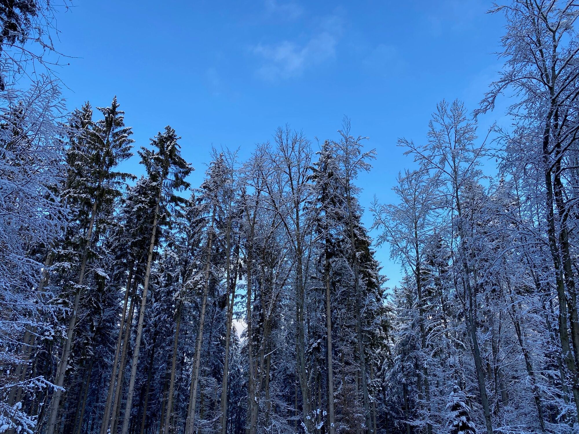

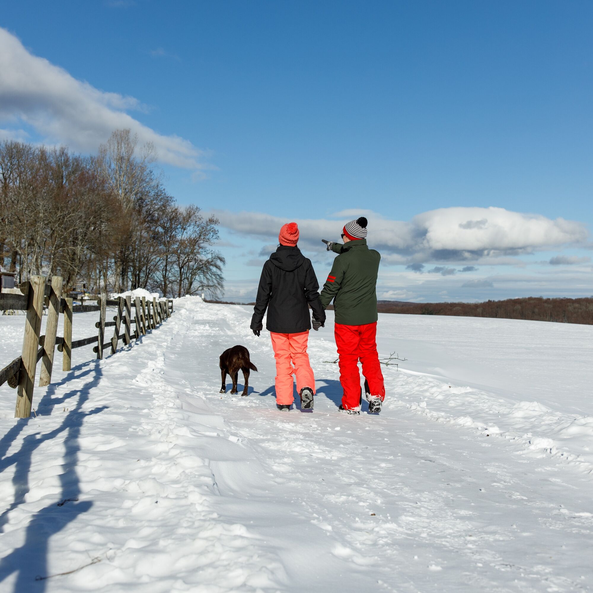
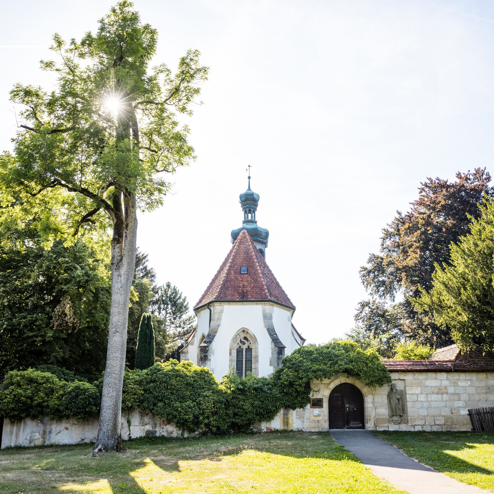


The starting point of the hike is the Adelberger Zachersmühle, a country inn in the valley in the middle of the forest with a beer garden and many cultural events. The trail leads to Mittelmühle, where Christmas trees for the region have been growing on the slopes for over 45 years, and on to Herrenmühle on the Herrenbach reservoir. The Herrenmühle inn in the valley is the perfect place to take a break from the hustle and bustle. The highlight of the tour is the idyllic Herrenbach reservoir, which was built in the 1970s as a flood retention basin. Due to its location in the Herrenbach valley, it is an important local recreation area in the Schurwald. Swimming in the lake is prohibited as strong underwater currents pose a great danger to swimmers. From the reservoir, the route leads to the village of Adelberg with its old monastery walls and late Gothic chapel. We return through the Heiligenwald forest to the starting point at the Zachersmühle, where you can enjoy a refreshing drink.
Tak
This list is designed for a short circular hike. For longer or more demanding tours, you should expand your equipment accordingly.
No prepared route.
Take the IRE and MEX/RB trains from Stuttgart and Ulm to Göppingen station. From there, take bus no. 935 to Adelberg.
Get off at the bus stop "Zachersmühle".
You can find the district timetable at www.vvs.de/fahrplan
There is a parking lot for hikers near the Mittelmühle mill
1
Respectful cooperation in the district of Göppingen.
Code of conduct:
Respect trail closures and the quiet zones developed in the leisure trail concept. Leave no traces such as garbage and animal droppings, treat your path with care. Act with foresight and consideration. Adapt your behavior to the situation at hand. Safety first. Respect other users of the forest and meadows. Be considerate of animals and plants. Plan ahead and make the most of daylight. Try to avoid dusk in the morning and evening. Observe the ban on entering agricultural land during the growing season. Stay on the designated paths and avoid the edges of the forest so that wild animals can get used to people better.More information at www.ruecksicht-macht-wege-breiter.de
Adelberg is home to the 12th century monastery of the same name. Late Gothic works of art make the monastery chapel a gem of church history. The monastery's most famous pupil was probably Johannes Kepler, who went to school in Adelberg before studying theology.
On a 3 km route around the Herrenbach reservoir, you can get to know the forest in a playful way and with all your senses. The trail is divided into three adventure areas with twelve stations.
Popularne wycieczki w okolicy
-
4,9
Lion Trail "Staufer Loop" — Following in Barbarossa's Footsteps Against a Dreamlike Backdrop
średniWędrówka 11,3 km -
4,5
Löwenpfad "Schloss-Filseck Loop" — Castle Tales and Lake Dreams
światłoWędrówka 3,97 km -
5,0
Löwenpfad "Spielburg Loop" - Around Mount Hohenstaufen
światłoWędrówka 3,53 km -
Mills & Lakes Route Adelberg
światłoWędrówka 9,56 km -
Hohenstaufen Castle Loop Trail
średniWędrówka 12,9 km -
Kaiser Barbarossa circular route
średniWędrówka 13,6 km -
Bärentobel Loop
średniWędrówka 6,37 km -
5,0
Around the Öschle
średniWędrówka 7,78 km -
4,0
Castle Tour Loop Trail
średniWędrówka 13,3 km -
5,0
Staufeneck Loop
średniWędrówka 11,8 km
Wędrówki i tropienie


Nie przegap ofert i inspiracji na następne wakacje
Twój adres e-mail została dodana do listy mailingowej.





