






From "Rinken" to mountain restaurant "Baldenweger Hütte"
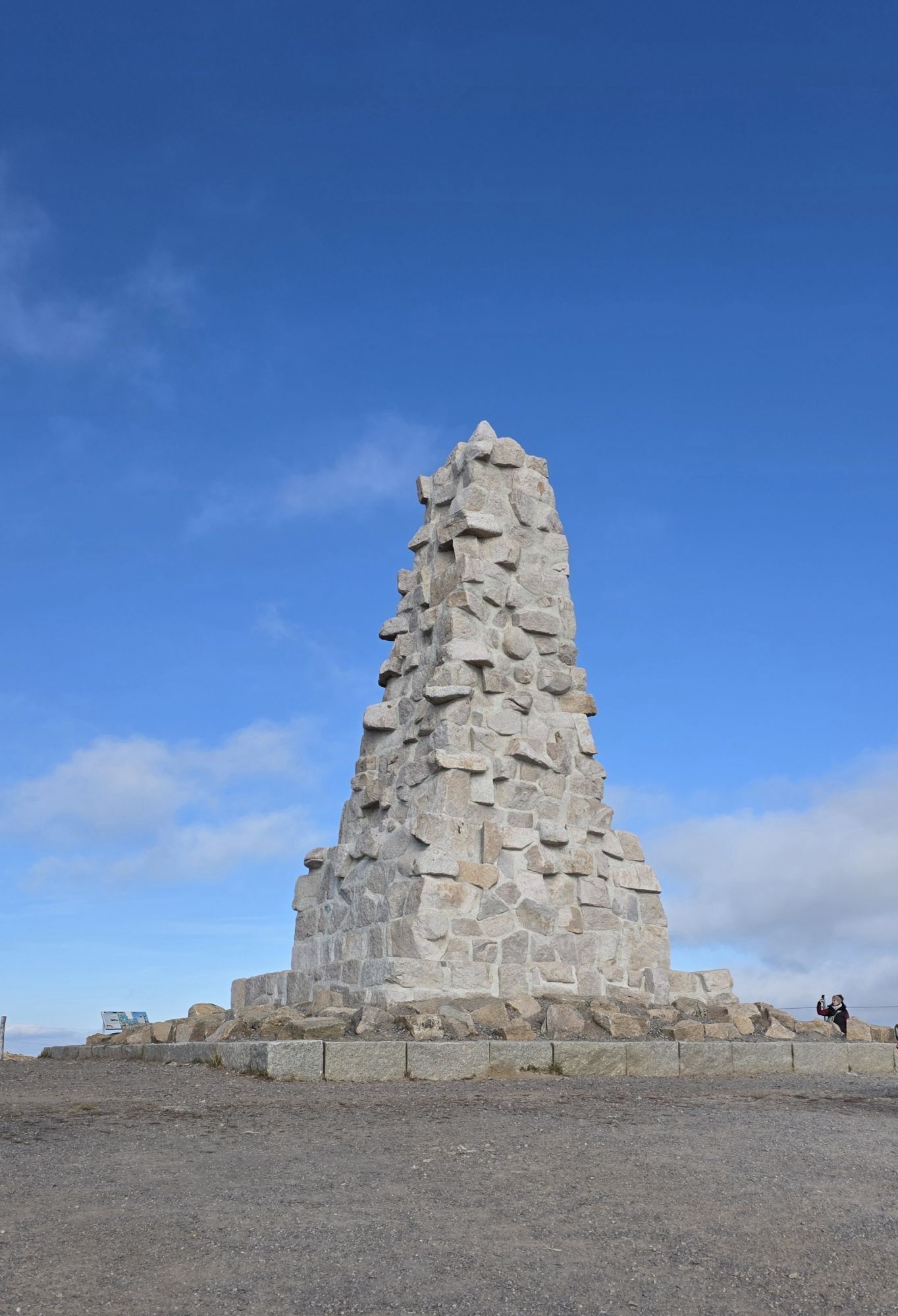
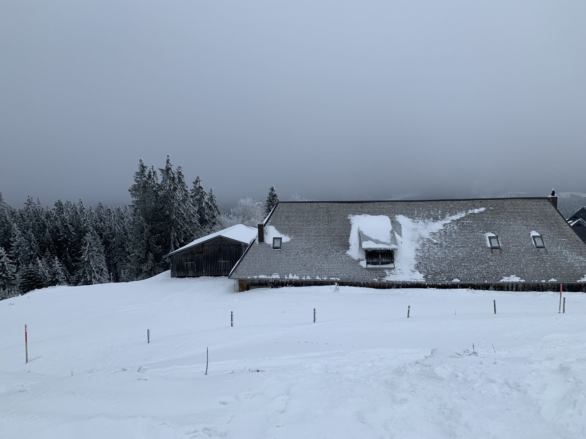
From the Rinken hiking car park, the trail leads you through snow-covered forests up to the Baldenweger Buck. Step by step, the winter landscape opens up - and once you reach the top, you are rewarded...
From the Rinken hiking car park, the trail leads you through snow-covered forests up to the Baldenweger Buck. Step by step, the winter landscape opens up - and once you reach the top, you are rewarded with a magnificent view of the Dreisamtal valley. On a clear day, you can even see as far as the Kandel and the Vosges mountains.
Just a few steps further on, the cosy Baldenweger Hütte invites you to take a well-earned break. (Please note opening times, payment on site only possible in cash).
Well fortified, you can then hike back to Rinken on the same path through the tranquil winter landscape - an all-round enjoyable winter excursion in the Black Forest Highlands.
Tip: Take a sledge with you, then you can toboggan down on the way back.

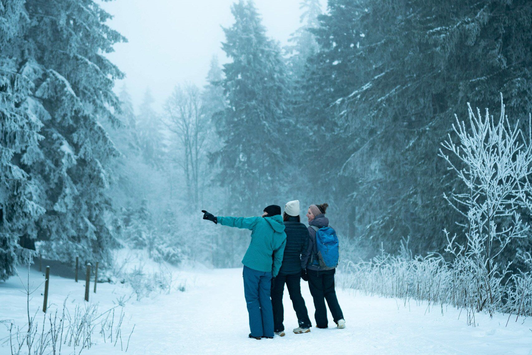
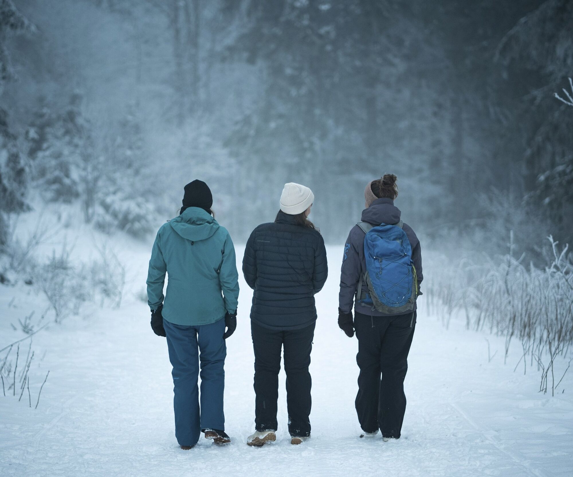
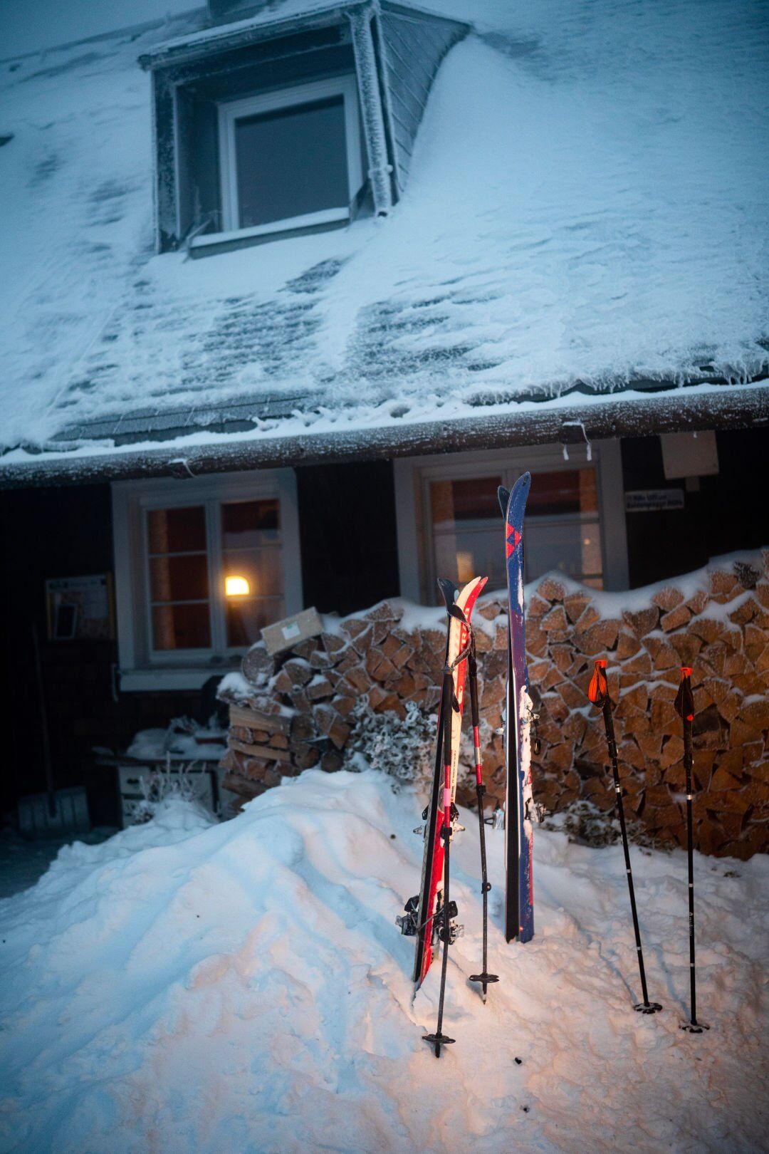
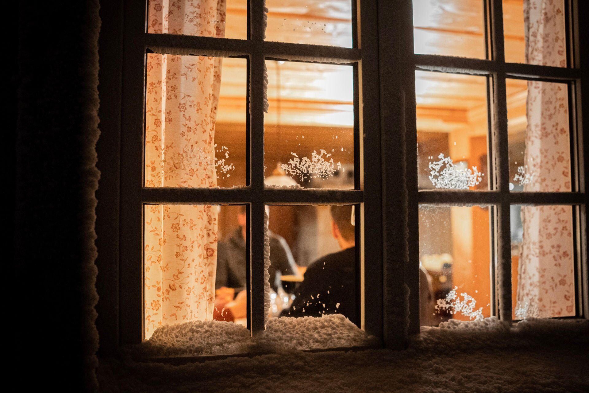
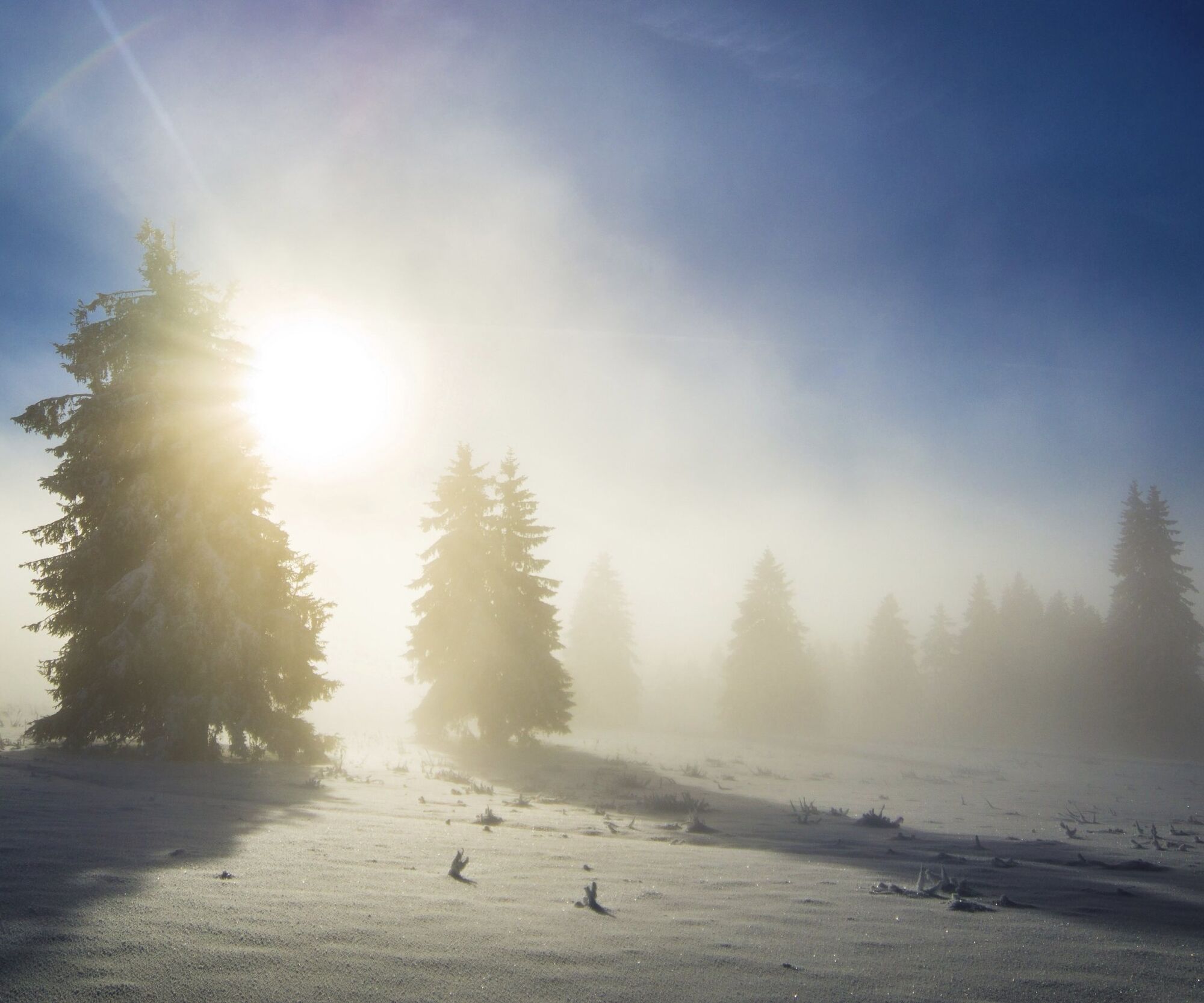

You start the tour at the Rinken hiking car park and walk past the barrier in the direction of Baldenweger Buck. From there, follow the road, then turn at the sign towards Baldenweger Hütte and walk uphill through the winter forest. After a few kilometres, you will reach the Baldenweger Buck and can enjoy a wonderful panoramic view of the Black Forest landscape.
You can walk back to the Rinken hiking car park along the same route or take your sledge with you on the hike and then toboggan from the Balderweger Hütte down to Rinken.
Tak
Make sure you wear sturdy shoes and warm clothing.
No public transport connection
You can park at the Rinken hiking car park.
Don't forget to stop off at the Baldenweger Hütte for a tasty meal. Check the opening times of the Baldenweger Hütte: baldenweger-huette.de
Uzyskaj wgląd
Zawsze na żywo z ponad 9 500 kamer internetowych. bergfex Jako użytkownik Pro, możesz teraz zobaczyć odpowiednie kamery internetowe dla wielu wycieczek w aplikacji wycieczki od. Pozwala to na bezpośredni podgląd aktualnych warunków.
Popularne wycieczki w okolicy
-
4,7
Black Forest Highlands heritage trail - mills and saws in the gorge
średniWędrówka 7,42 km -
3,8
Seerundweg Titisee
światłoWędrówka 5,84 km -
4,2
Belchensteig
średniWędrówka 14,8 km -
3,9
From Titisee to the Hochfirst with its stunning views
średniWędrówka 10,6 km -
4,1
Höhenklimaweg Titisee-Rundweg
średniWędrówka 7,44 km -
3,8
Premium Hiking Trail- Säbelthomaweg
średniTrasa tematyczna 11,3 km -
4,3
Ravennaschlucht
Wędrówka 6,90 km -
4,0
Altitude on the Herzogenhorn
średniWędrówka 11,1 km -
4,8
Sonnenaufgang und Feldbergsteig
średniWędrówka 11,6 km -
3,7
Rundweg zum Todtnauer Wasserfall
światłoWędrówka 6,06 km
Wędrówki i tropienie


Nie przegap ofert i inspiracji na następne wakacje
Twój adres e-mail została dodana do listy mailingowej.





