






Bad Peterstal-Griesbach: Hike to the Buchkopfturm
Nice, physically easy circular hike from the Rohrenbacher Eck (near the Renchtalhütte) via the Renchtalsteig up to the Buchkopfturm in Oppenau.
The hike mostly runs on wide forest paths and is also suitable...
Nice, physically easy circular hike from the Rohrenbacher Eck (near the Renchtalhütte) via the Renchtalsteig up to the Buchkopfturm in Oppenau.
The hike mostly runs on wide forest paths and is also suitable for families with children.


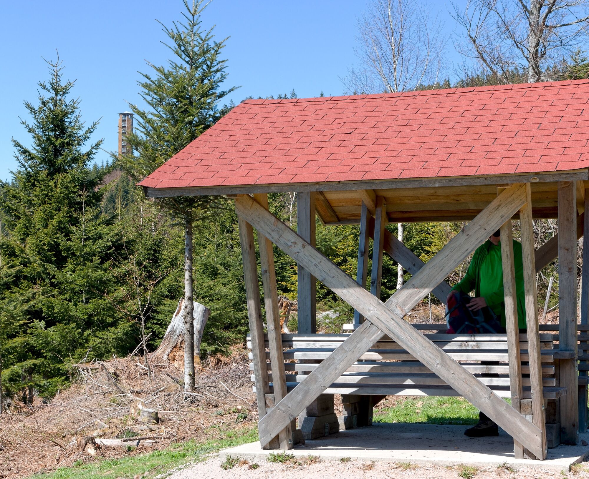

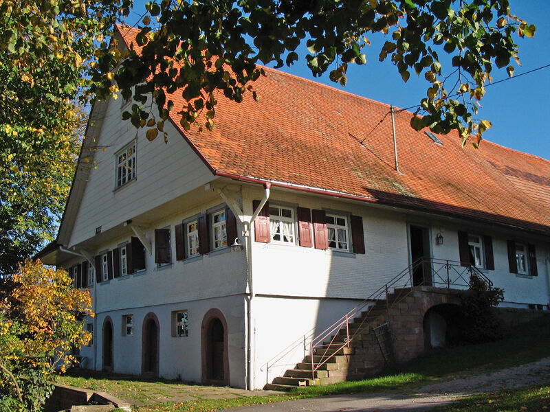
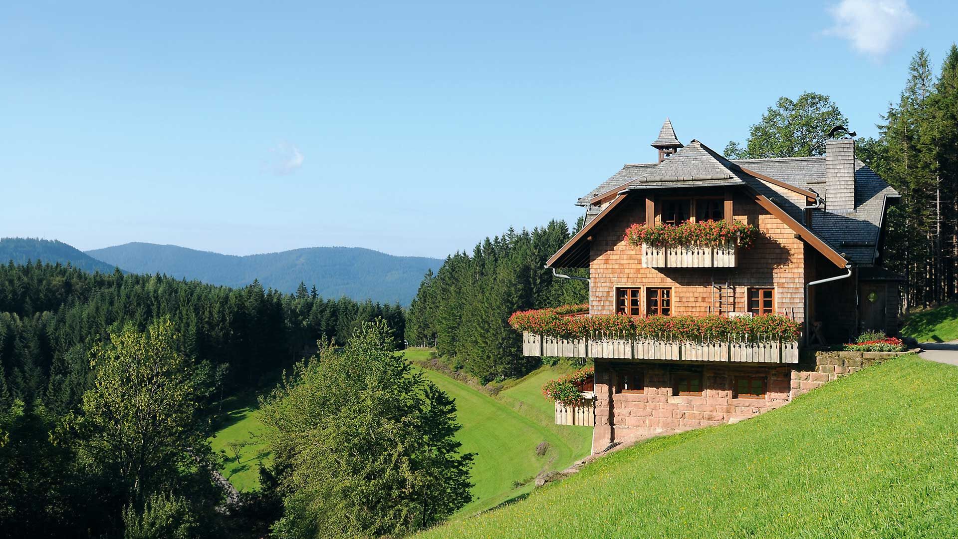

We start our hike in Bad Peterstal-Griesbach (district Bad Griesbach) at the hiking car park at Rohrenbacher Eck, near the Renchtalhütte.
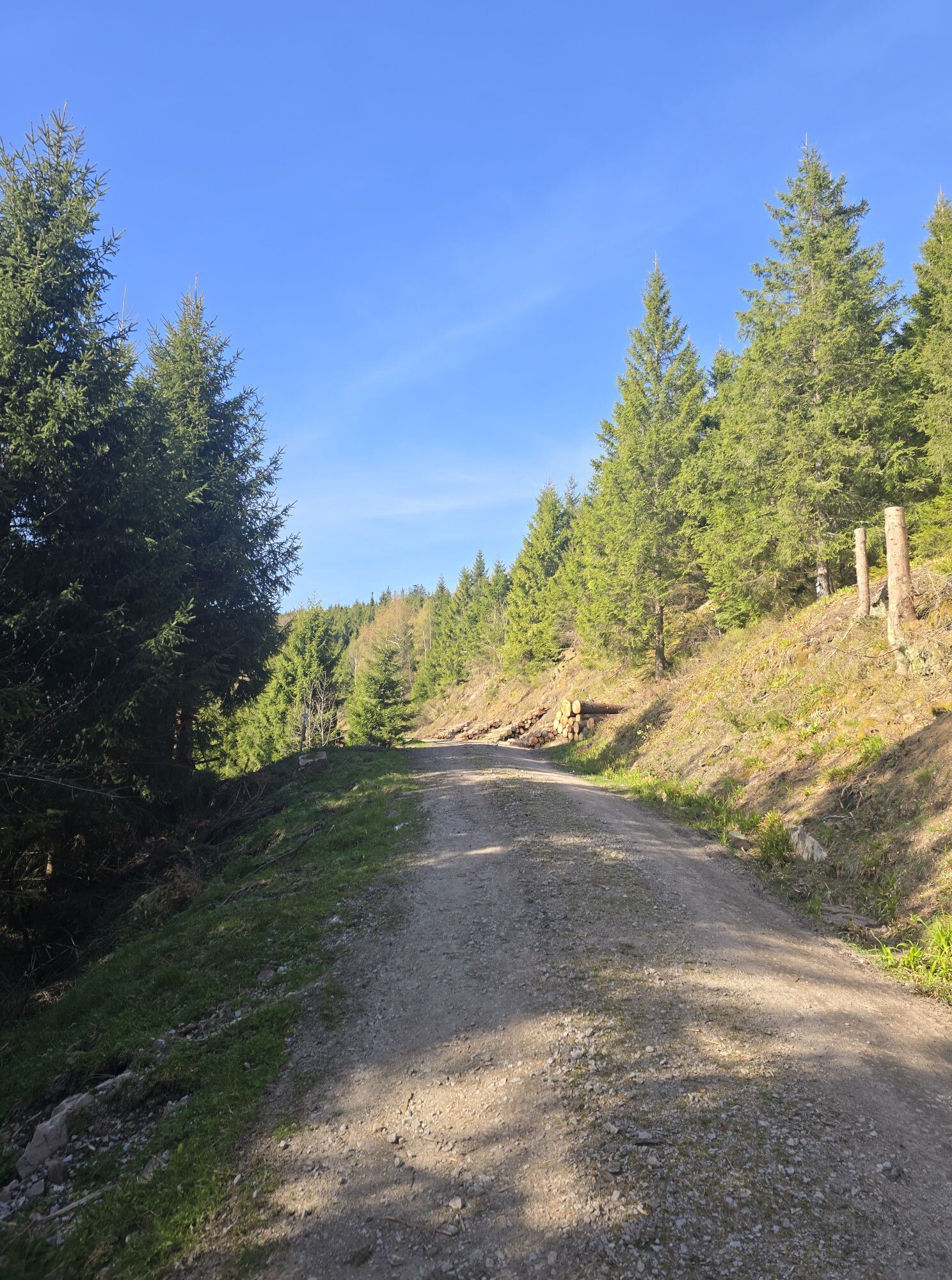
From the starting point, we follow the uphill Brandstraße for about 30m, then turn left and hike about 800 m on the Renchtalsteig to the next junction; we see the tower diagonally to the left in front of us - please pay attention here to the signage (Renchtalsteig lozenge):
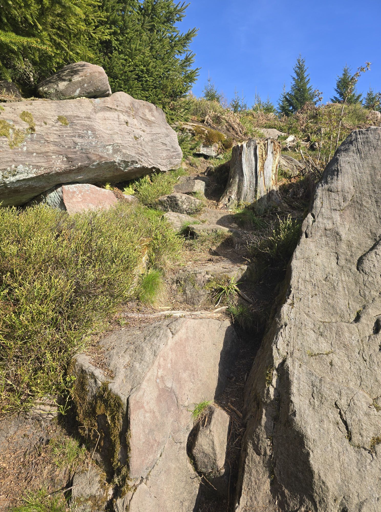
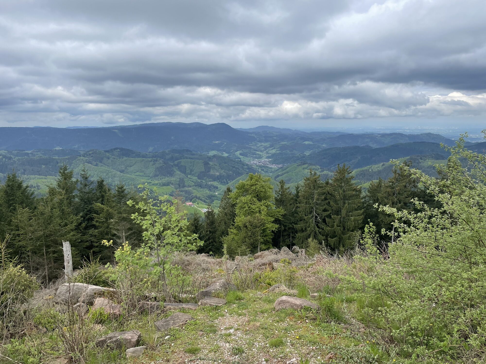
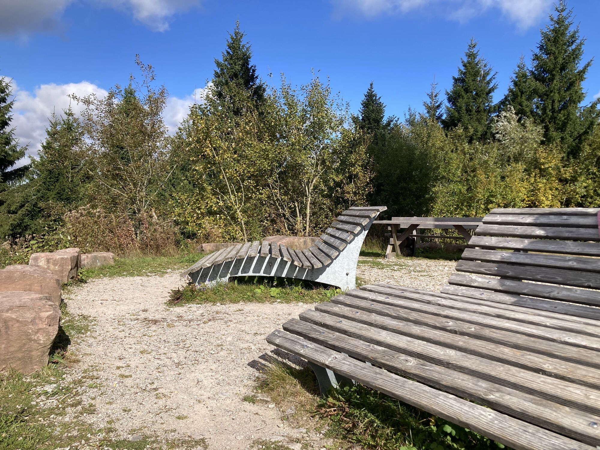
We stay on the Renchtalsteig - we continue uphill to the right on a narrow, natural path. Those who want can take a short break at the covered resting area at the top and enjoy the beautiful view.
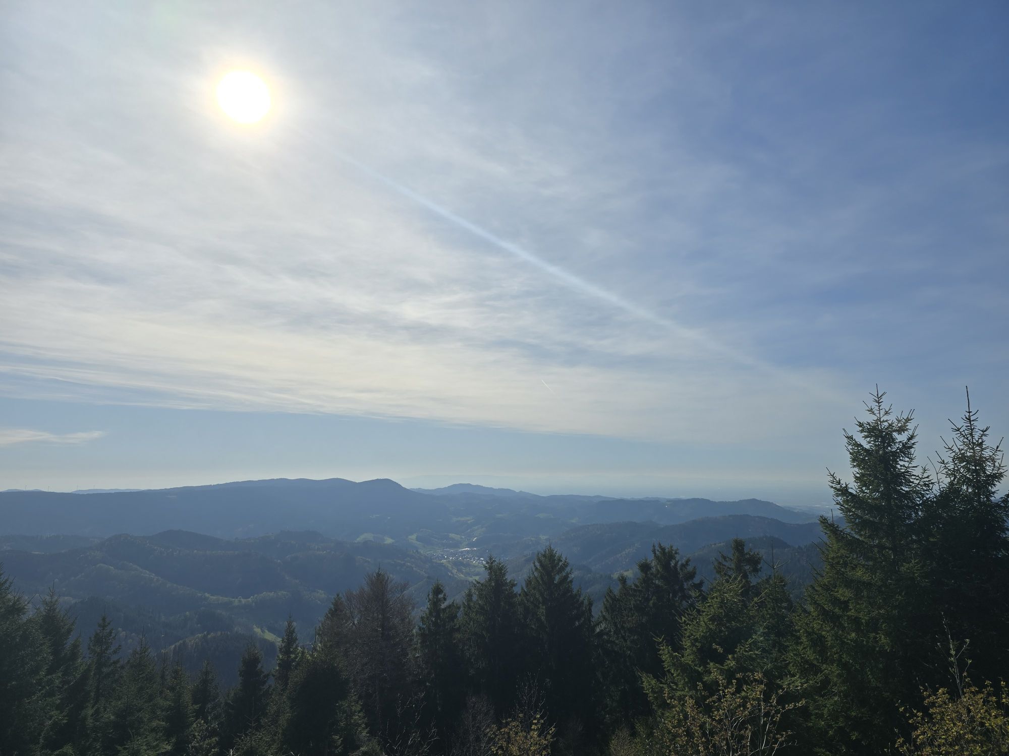
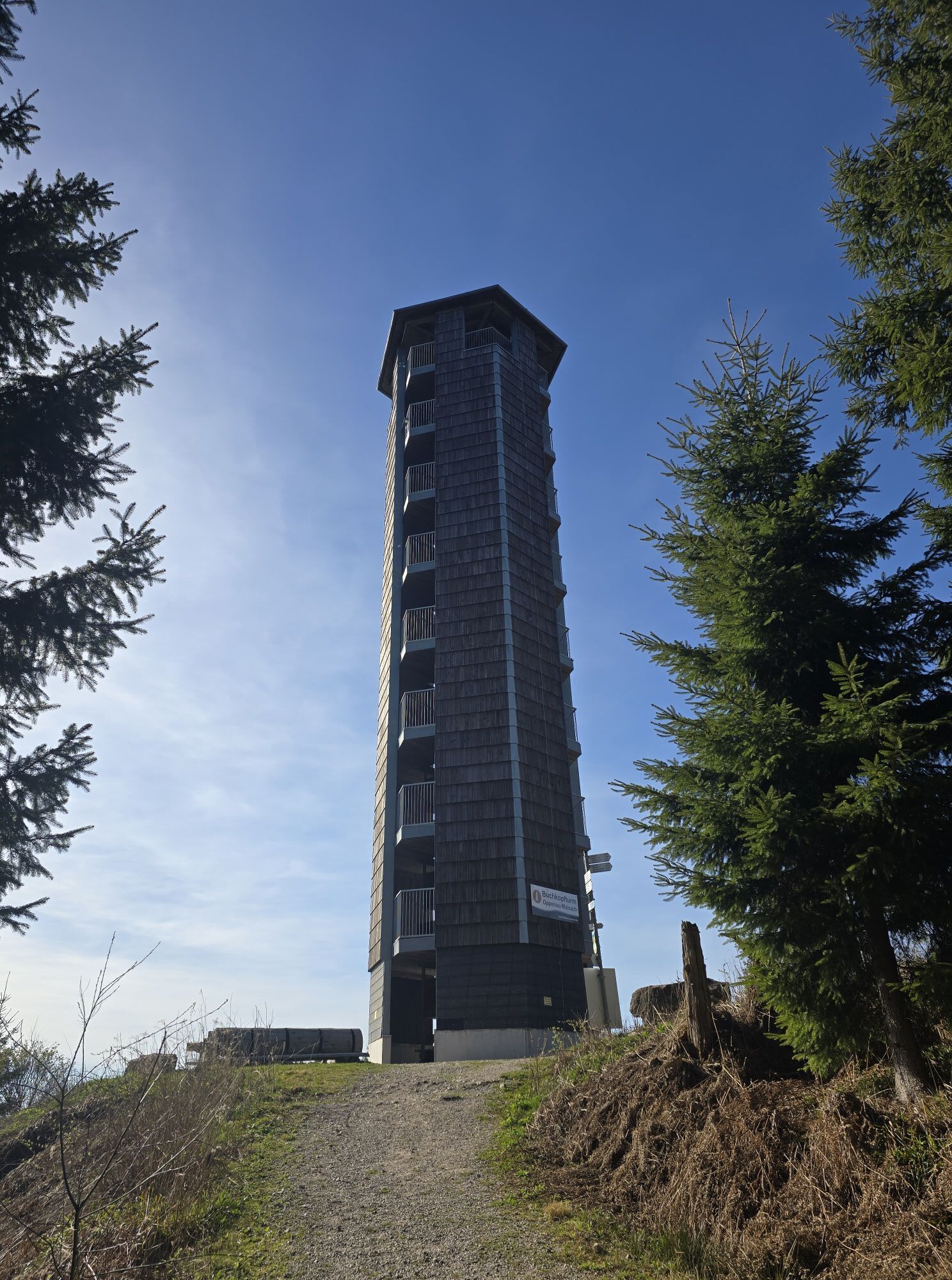
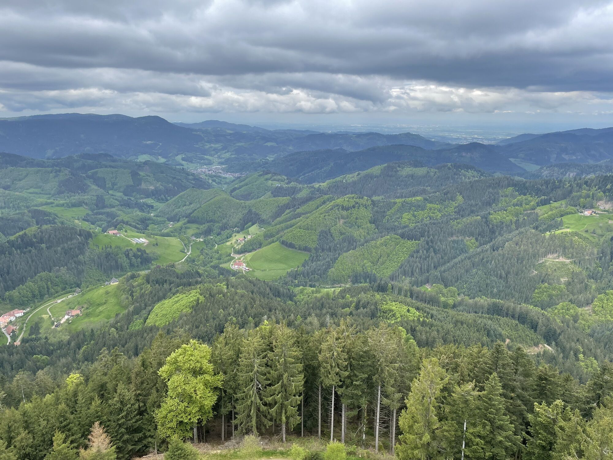
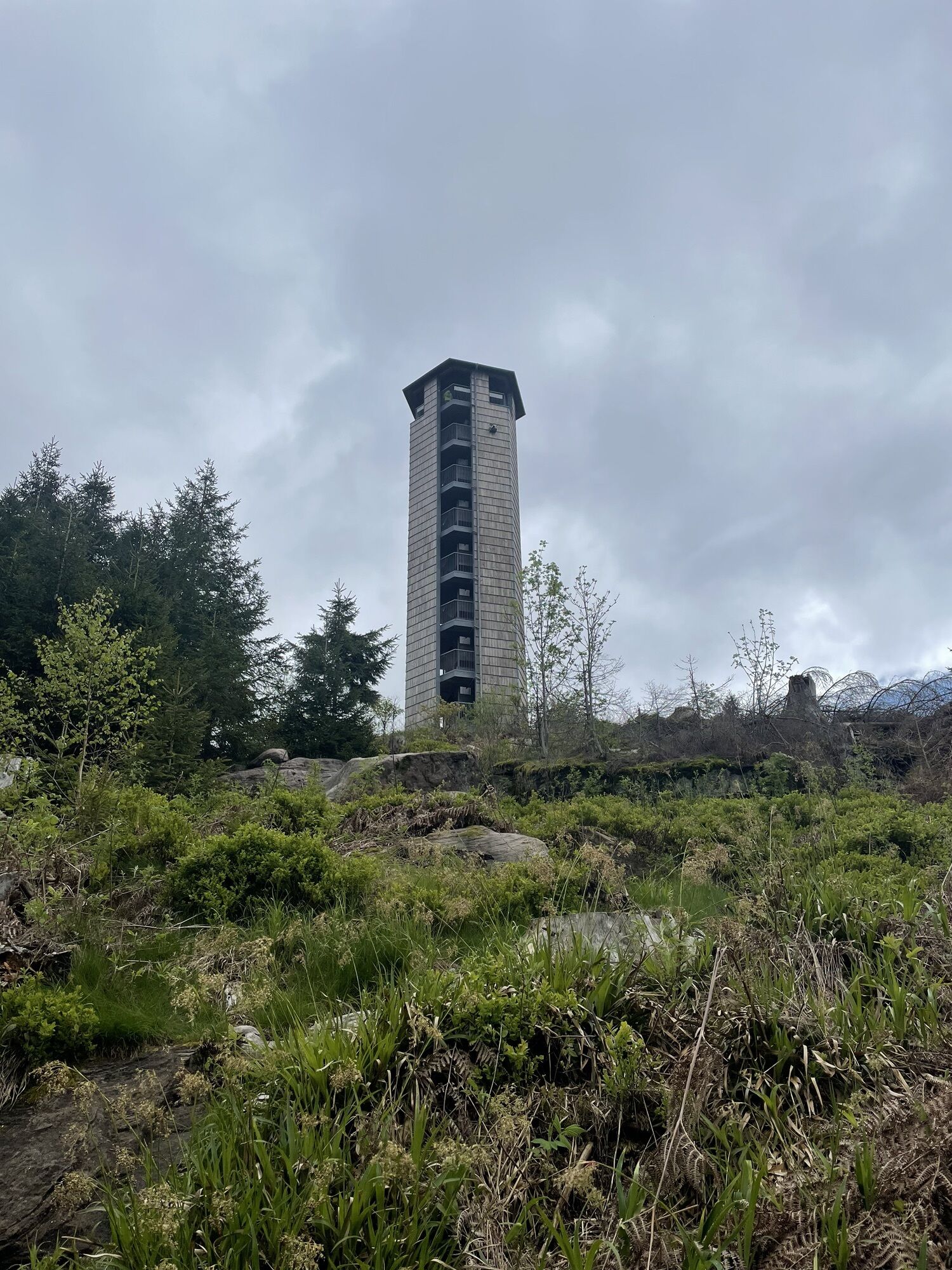
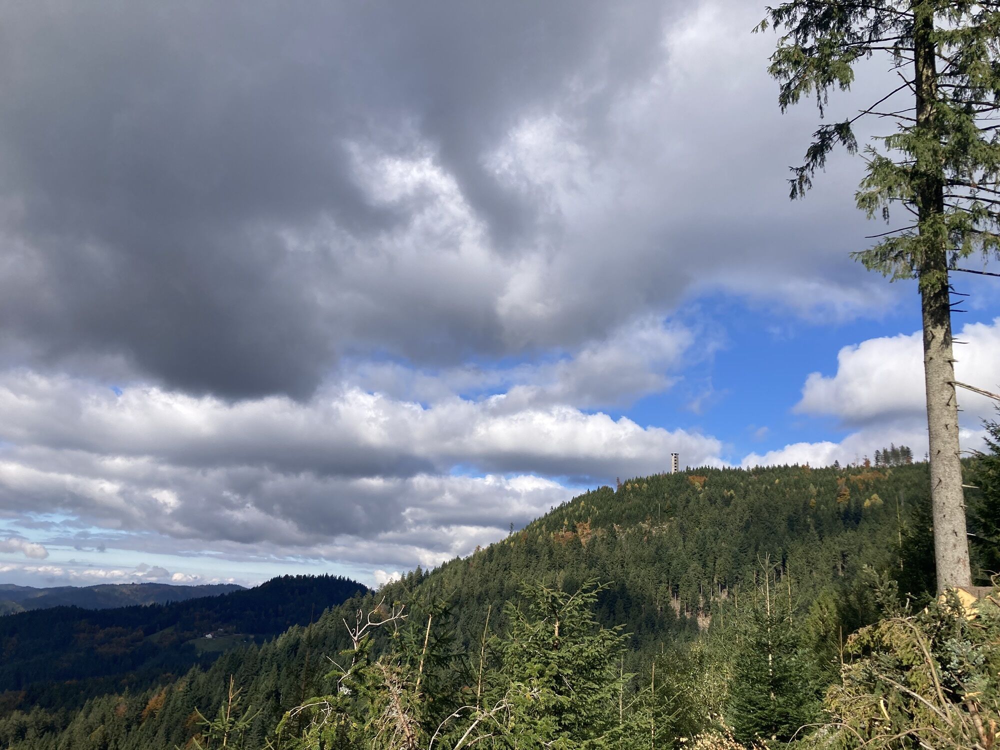
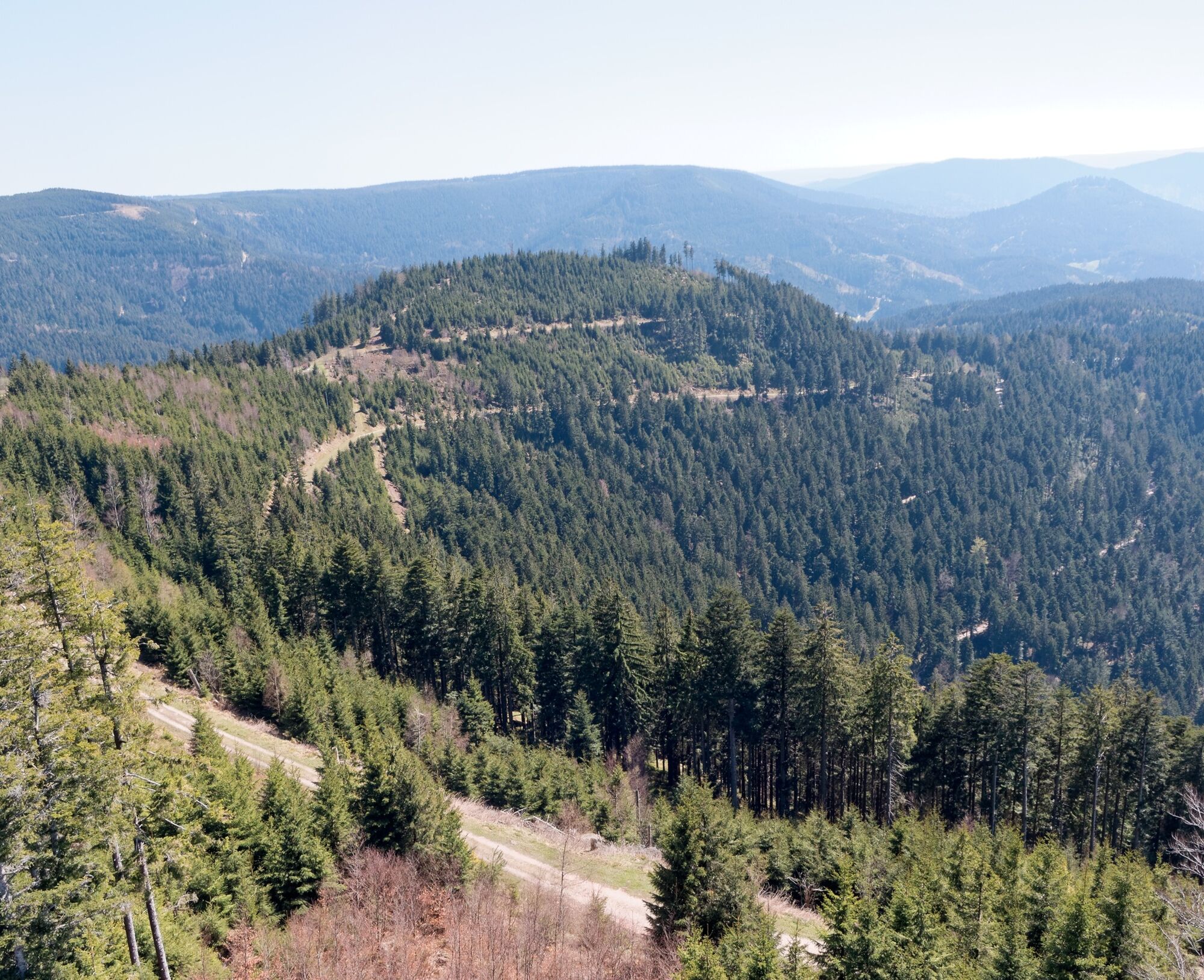
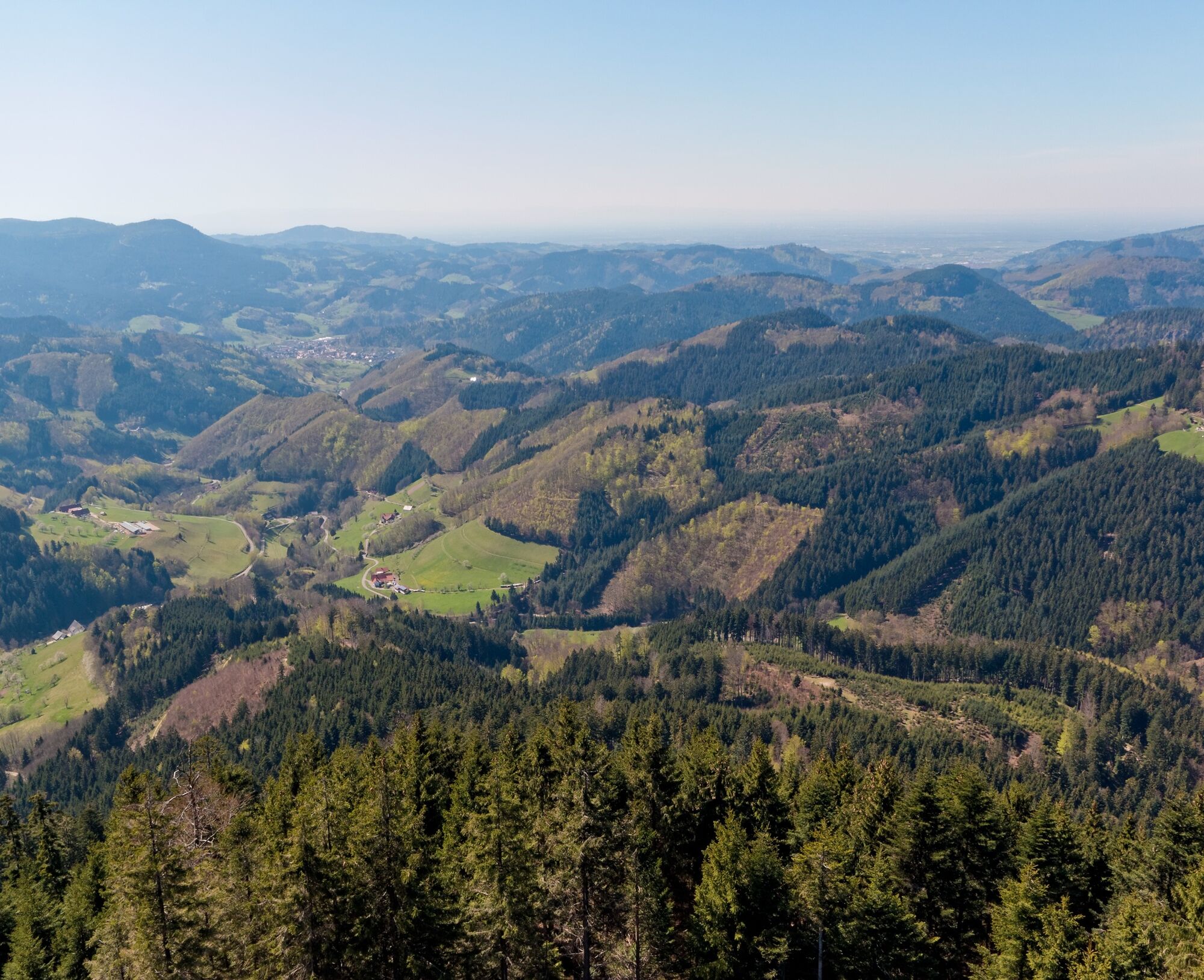
We stay on the Renchtalsteig for just under a kilometer, then leave it and follow to the right, steeply uphill again, a newly laid out, wide path that leads us directly to the tower. Now it goes up 144 steps to the 29-meter high Weißtannenturm, and with every meter of height we overcome, a piece of the great Black Forest panorama opens up. Once at the top, we enjoy a wonderful panoramic view.
With the tower behind us, we begin the return journey. We hike a short distance uphill, then turn left and stay on this path until we come to a barrier. At the fork behind it, we take the left hiking trail, follow it for about 200 m, then turn left again.
After just over a kilometer, we reach the spot that led us up to the tower before. From here, we hike back to the starting point on the already familiar route.
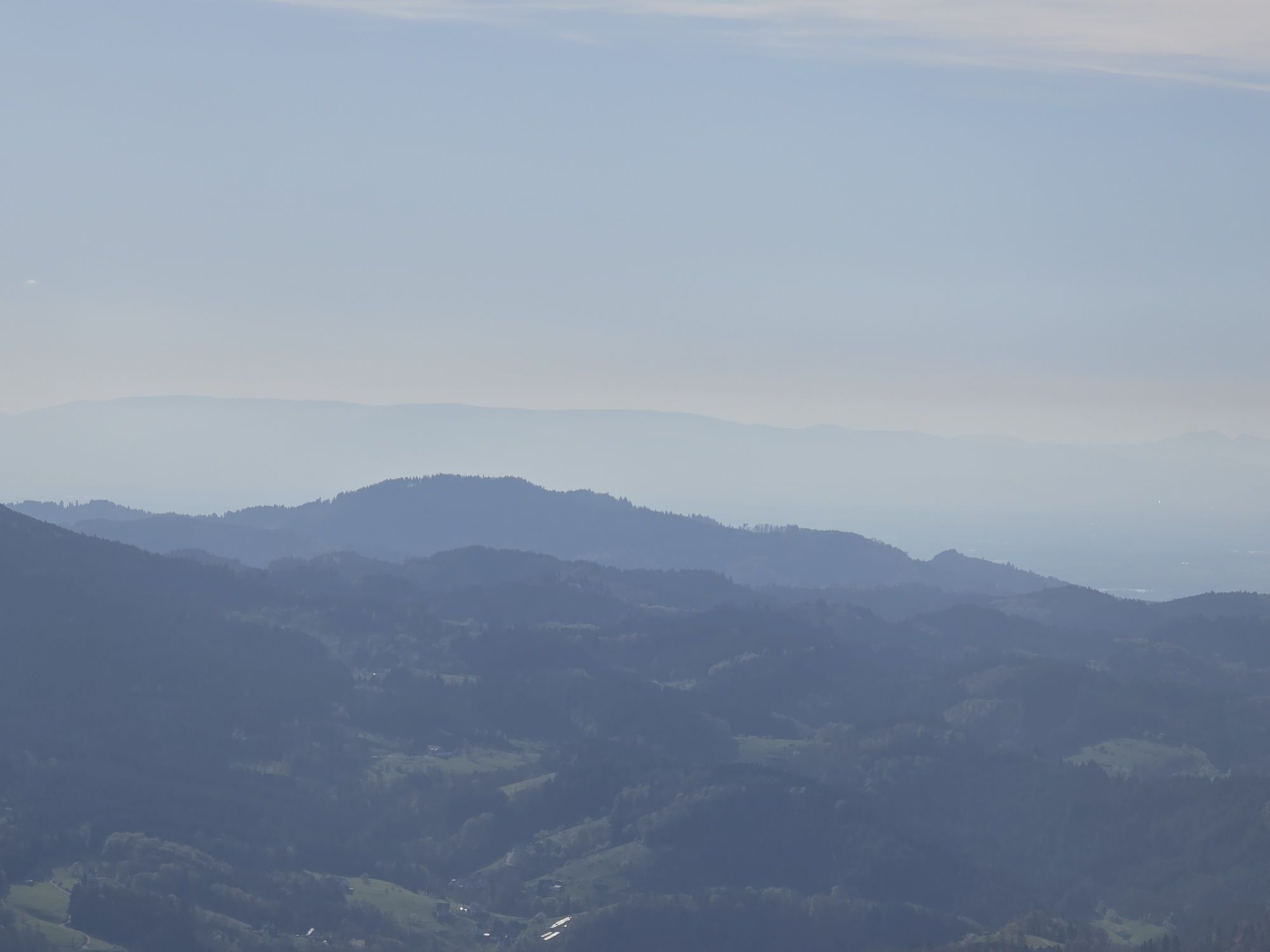
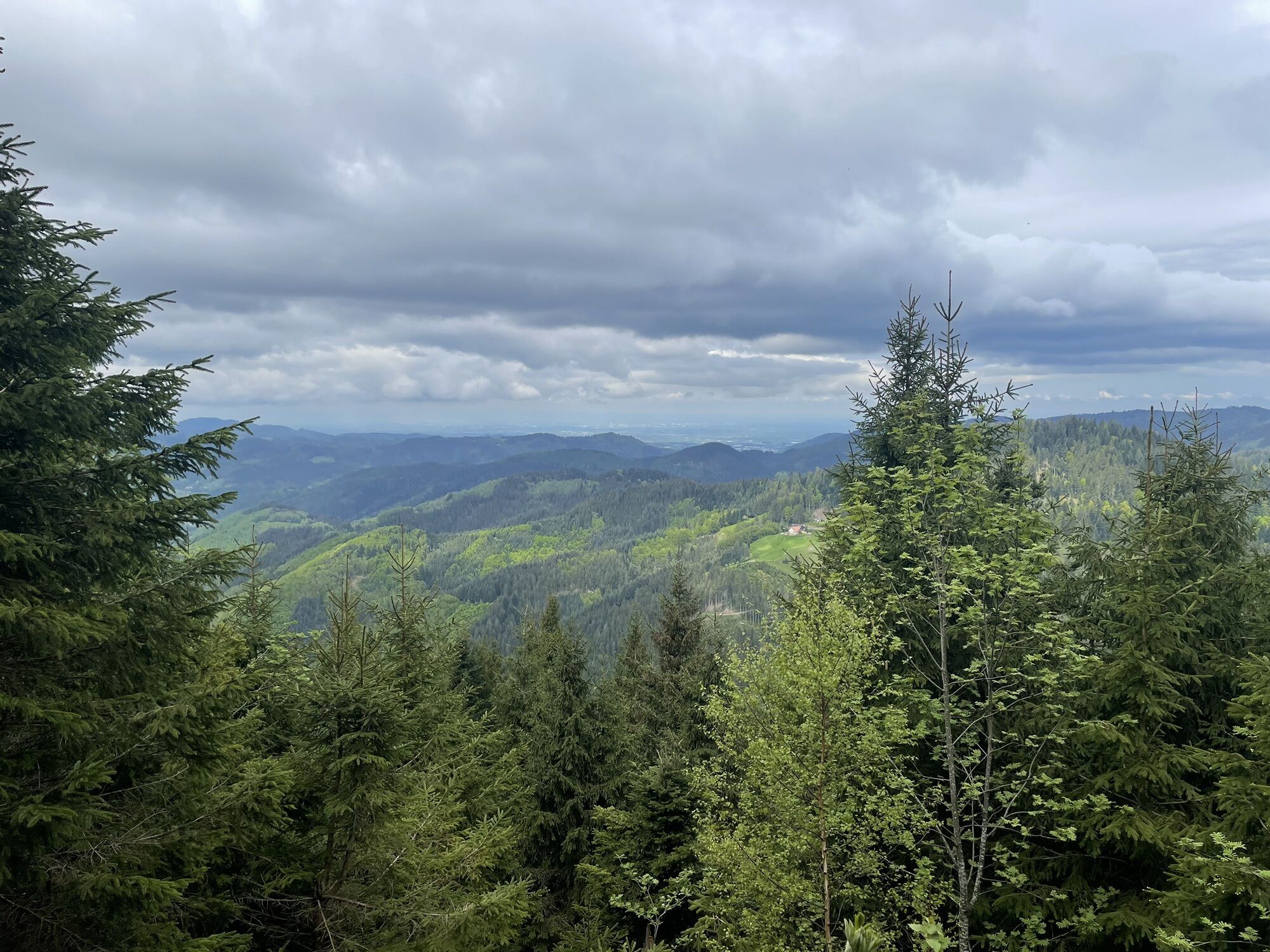
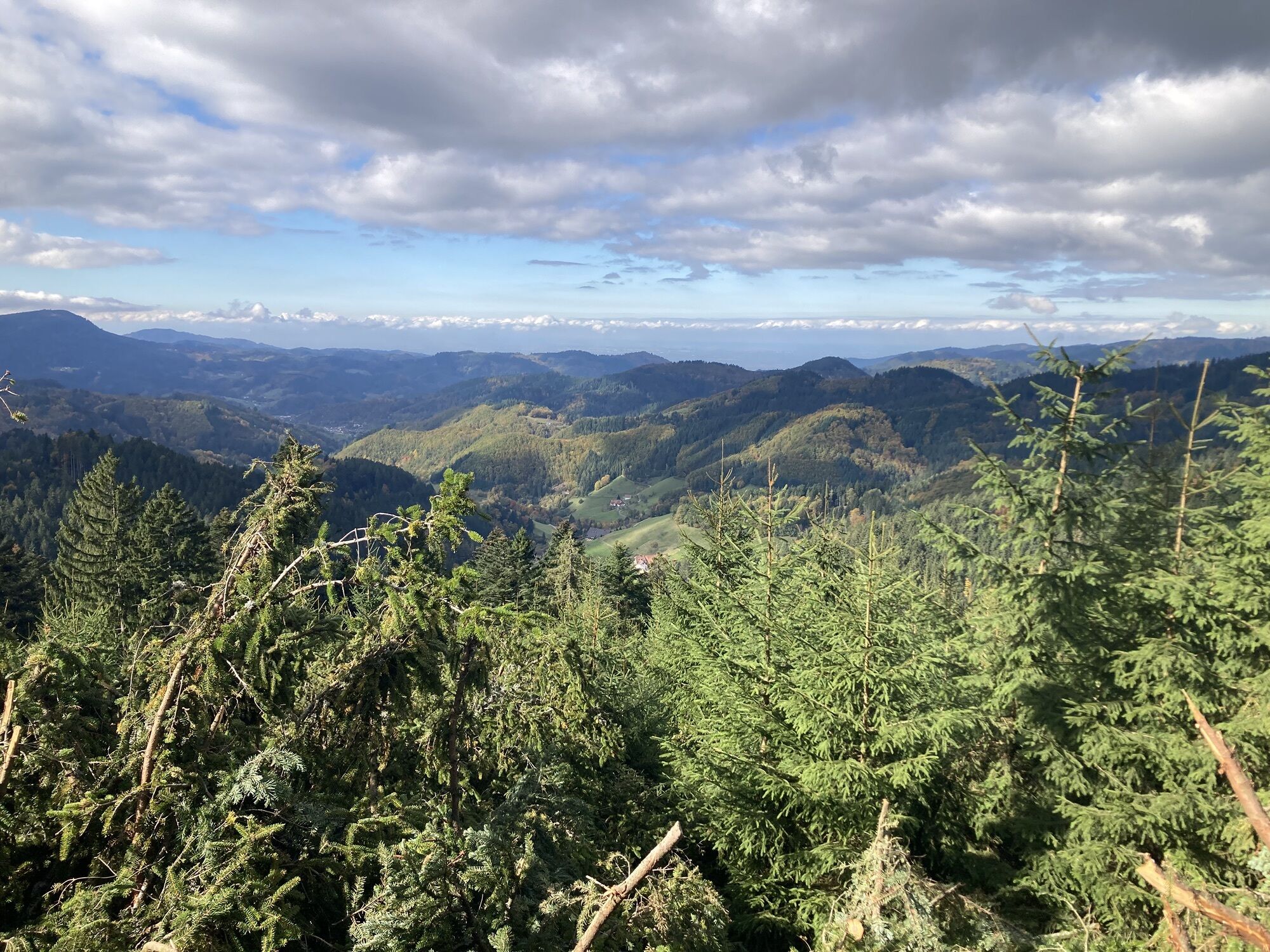
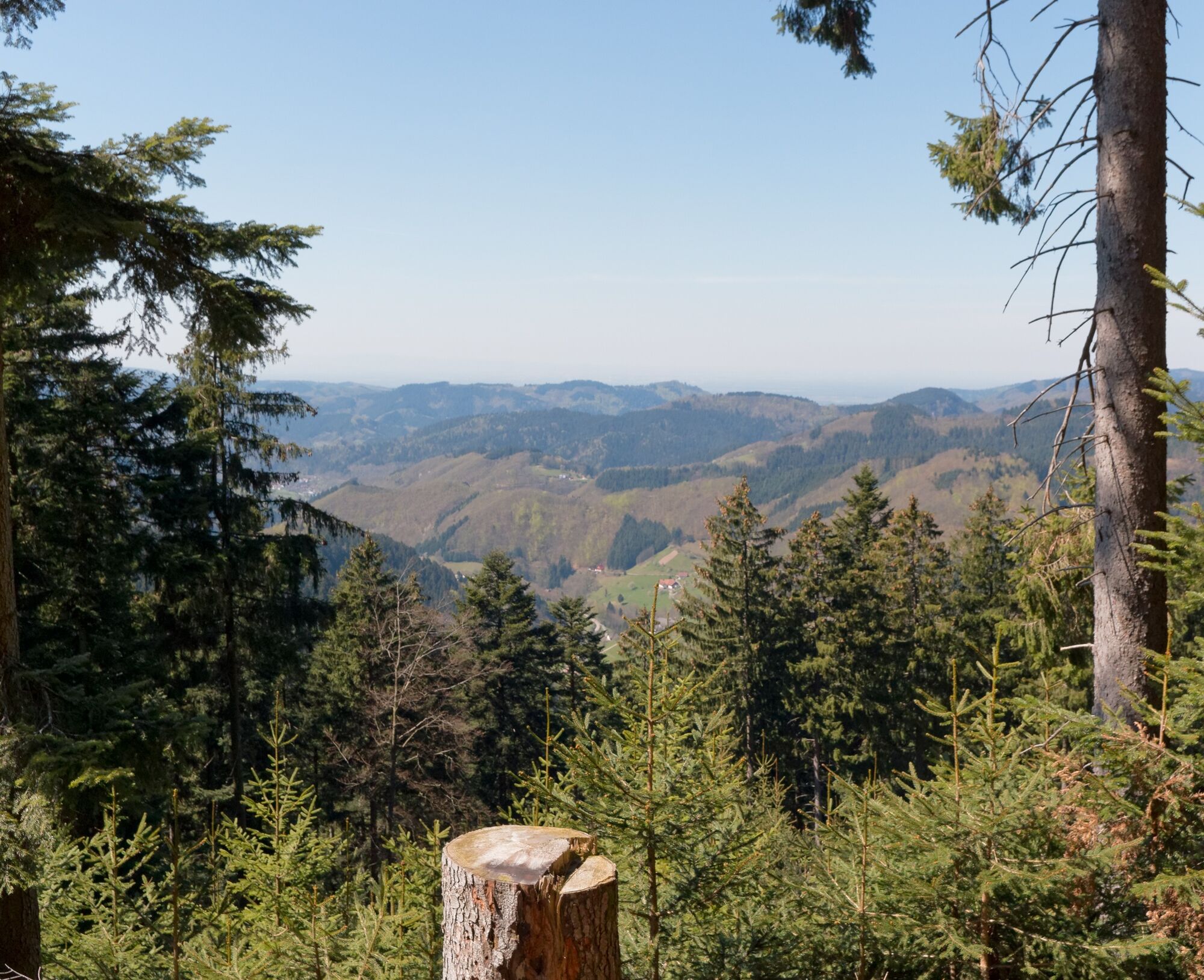
The hike offers nearly continuous beautiful views of the Renchtal valley, the Vosges, as well as toward the Schwarzwaldhochstraße and Kniebis.
Tak
Sturdy footwear. Hiking poles.
Both the Rhine Valley Motorway (A5) and the Lake Constance Motorway (A81) can be reached quickly via federal highway B28.
You can reach the starting point as follows:
Motorway A5, exit Appenweier, B28 via Oberkirch and Oppenau to Bad Peterstal-Griesbach. At the entrance to Bad Griesbach near Hotel Döttelbacher Mühle (turn left) you leave the B28, then immediately turn right onto Breitenbergstraße. Follow this road straight ahead all the way to the Renchtalhütte. The forest car park is about 100 m behind the Renchtalhütte. Motorway A81, exit Horb, B28 via Freudenstadt to Bad Peterstal-Griesbach. At the entrance to Bad Griesbach, turn right in a long curve between Hotel "Adlerbad" and Hotel "Kimmig". You then drive about 3 km on the road through the valley of the Wilde Rench. About 500m behind the sawmill you come to a fork - here keep left. The road then leads directly to the starting point.From Offenburg (ICE and IC station) or Appenweier, you can reach Bad Peterstal-Griesbach by Ortenau-S-Bahn.
Ortenau-S-Bahn (OSB) 718: stop at Bad Griesbach station Southwest bus line 7137: stop at Bad Griesbach municipal administration (below the Catholic church)From both stops, a walk of about an hour to the starting point "Renchtalhütte" should be planned.
Forest car park at the site signpost "Renchtalhütte"
(at the hiking info board, about 100m from the Renchtalhütte)
Places to eat:
Renchtalhütte
No day off. Open daily from 11:00 am to 10:00 pm.
Kamery internetowe z trasy
Uzyskaj wgląd
Zawsze na żywo z ponad 9 500 kamer internetowych. bergfex Jako użytkownik Pro, możesz teraz zobaczyć odpowiednie kamery internetowe dla wielu wycieczek w aplikacji wycieczki od. Pozwala to na bezpośredni podgląd aktualnych warunków.
Popularne wycieczki w okolicy
-
5,0
Ottenhöfen - Eichkopf - Karlsruher Grat
średniWędrówka 13,7 km -
4,7
Kniebiser Heimatpfad - Wandern mit Genuss
światłoWędrówka 9,07 km -
4,5
Naturgewalten-Tour
Wędrówka 15,6 km -
4,0
Sankenbachwasserfälle und Glasmännlehütte am Stöckerkopf
średniWędrówka 12,8 km -
5,0
Bannwald-Tour
Wędrówka 13,3 km -
4,6
Bad Rippoldsau - Cafe & Restaurant Zum Schlüssel - Klösterle - Burgbachwasserfall
średniWędrówka 11,2 km -
4,8
Bad Peterstal-Griesbach - Himmelssteig für "Höhenverliebte"
ciężkiWędrówka 10,3 km -
4,8
Ottenhöfen - Mühlenweg
średniWędrówka 13,4 km -
4,3
Oberhamersbach Vesperweg
średniWędrówka 14,5 km -
5,0
Kniebis-Sankenbachwasserfälle-Sankenbachsee
średniWędrówka 7,98 km
Wędrówki i tropienie


Nie przegap ofert i inspiracji na następne wakacje
Twój adres e-mail została dodana do listy mailingowej.





