







Through the Rohrenbach valley to Hornberg
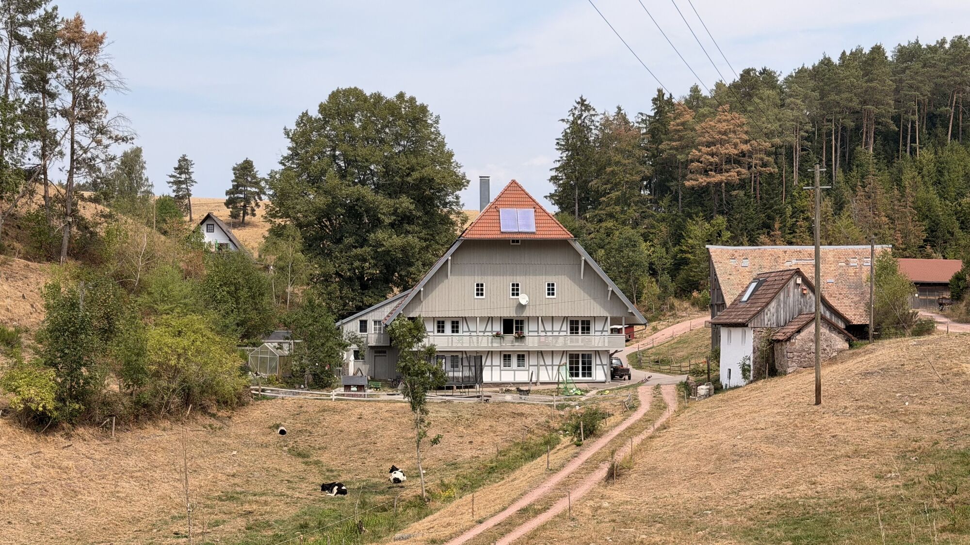
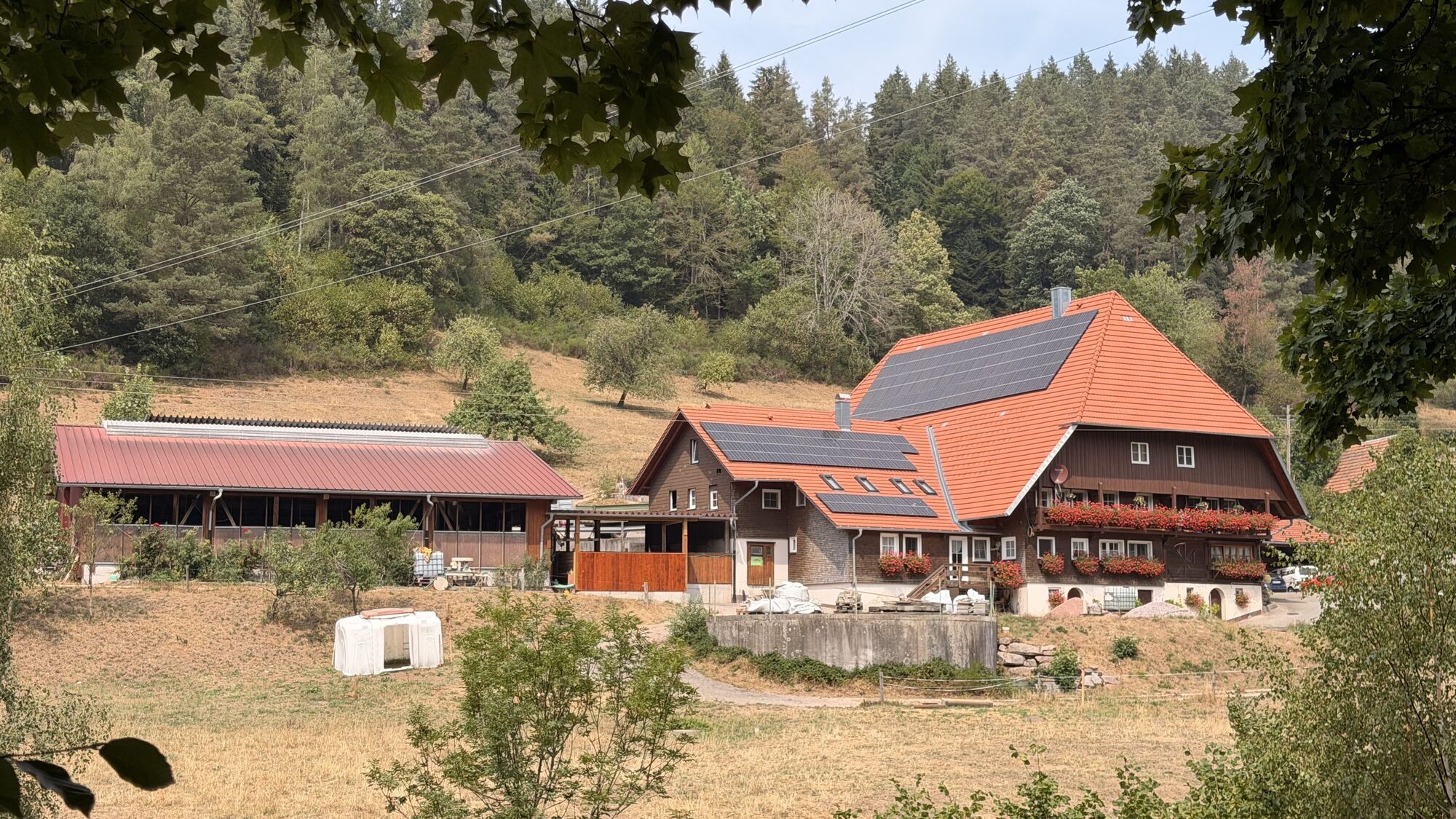
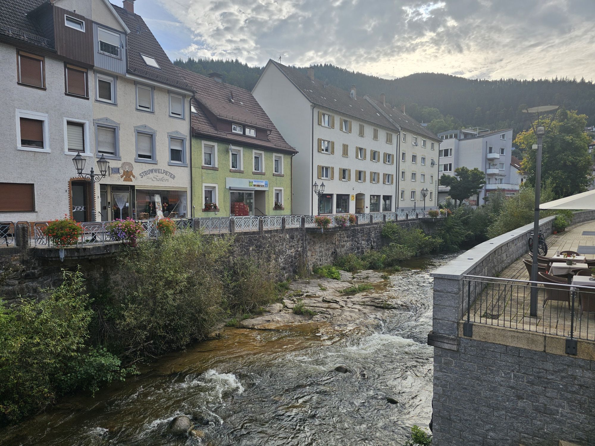

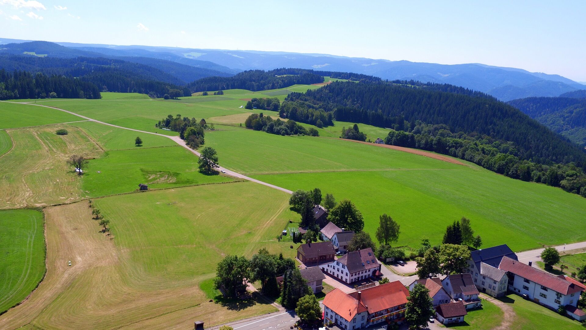
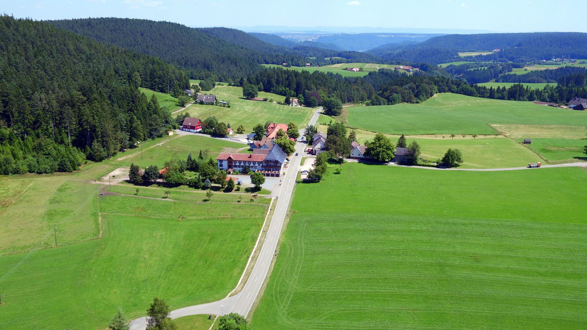
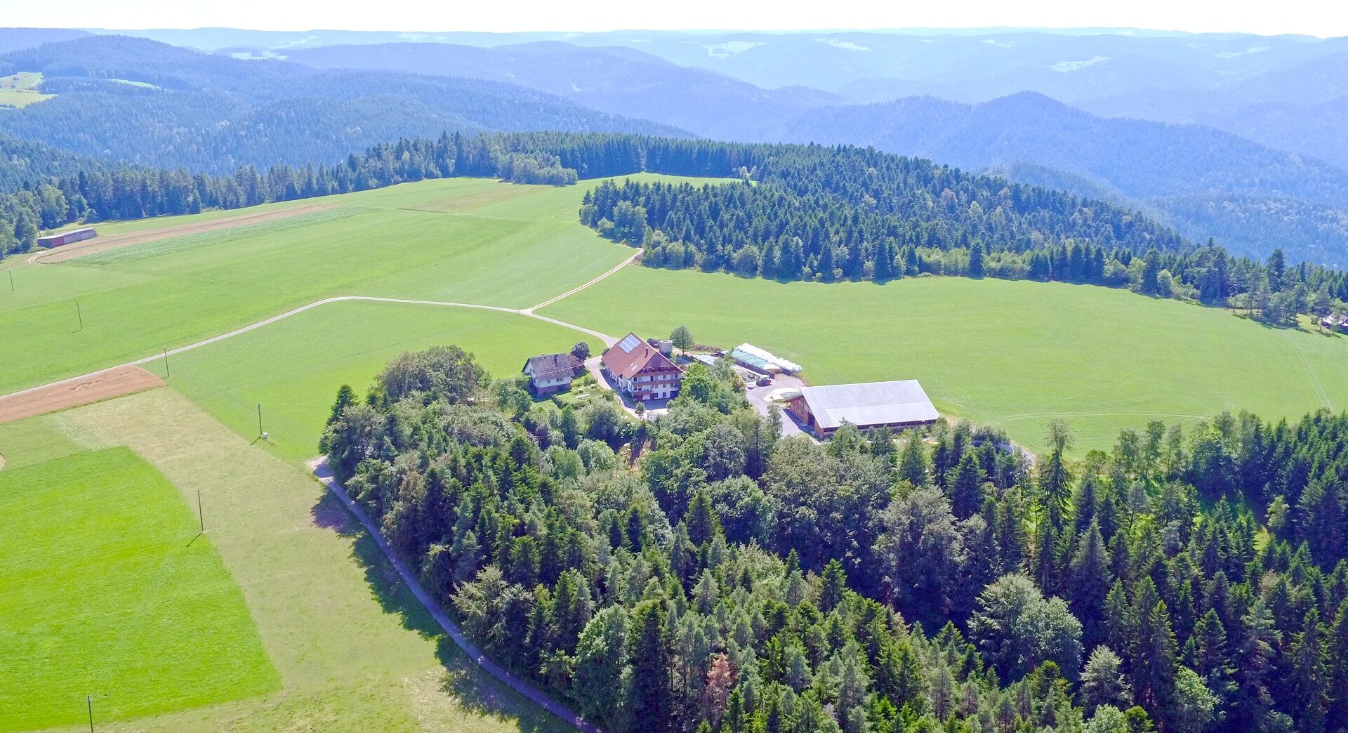
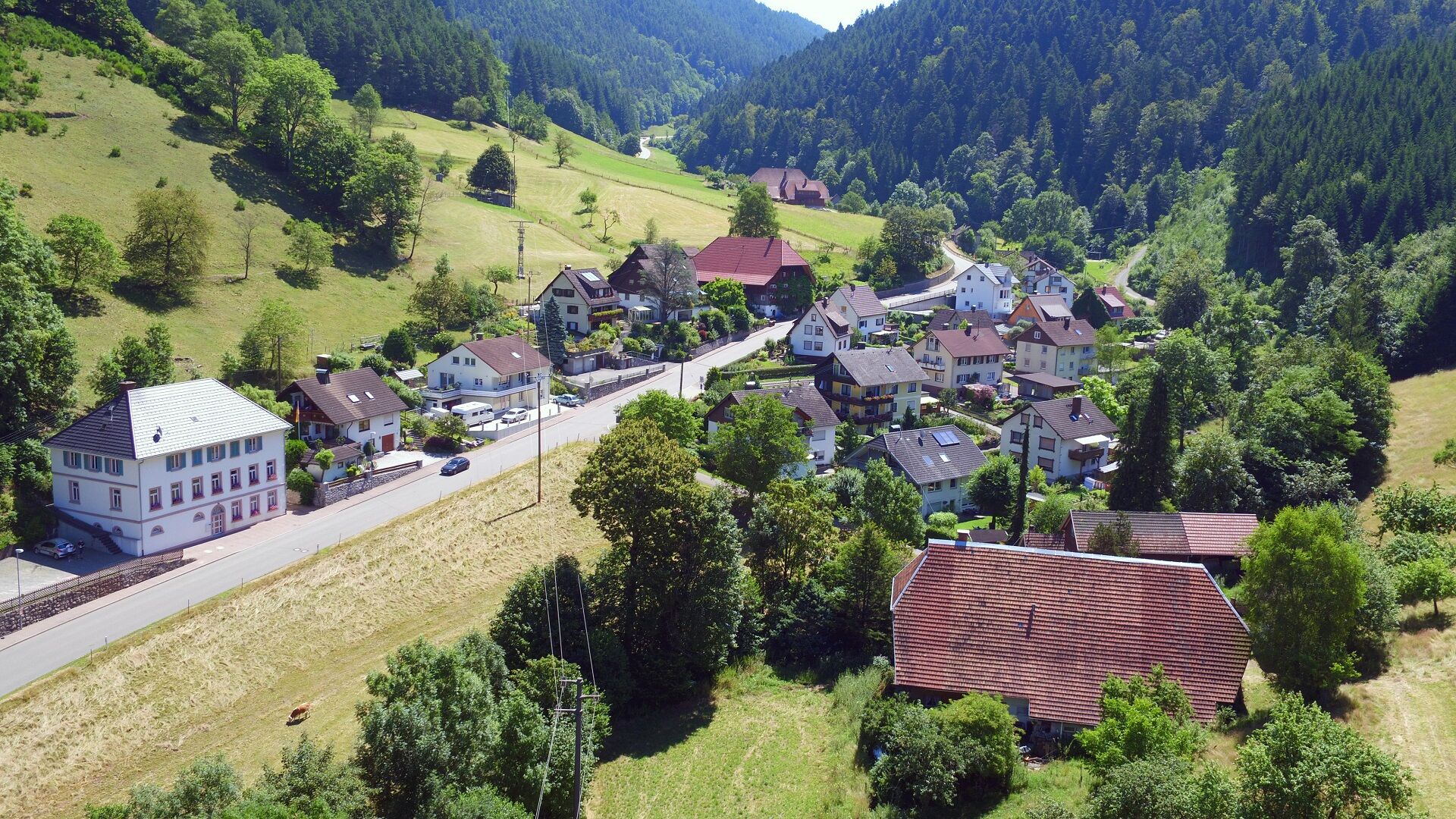
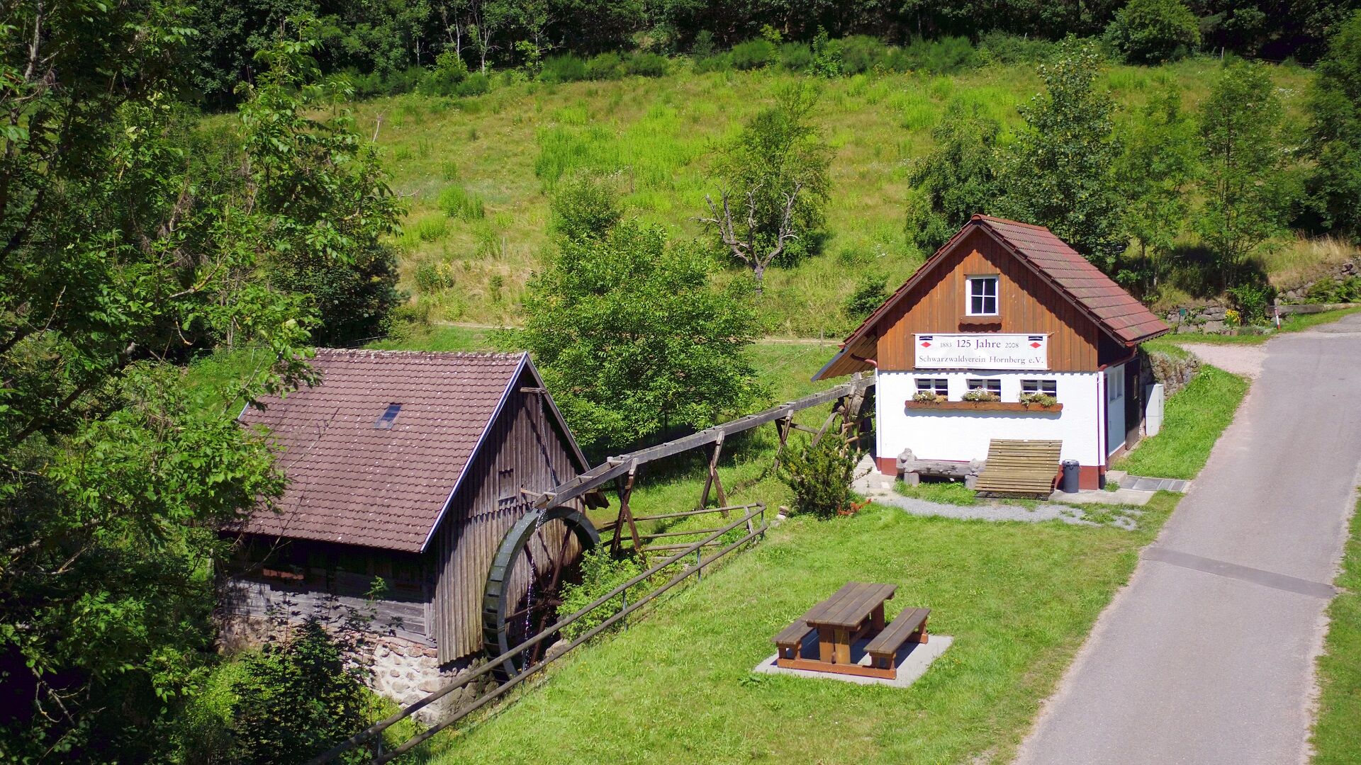
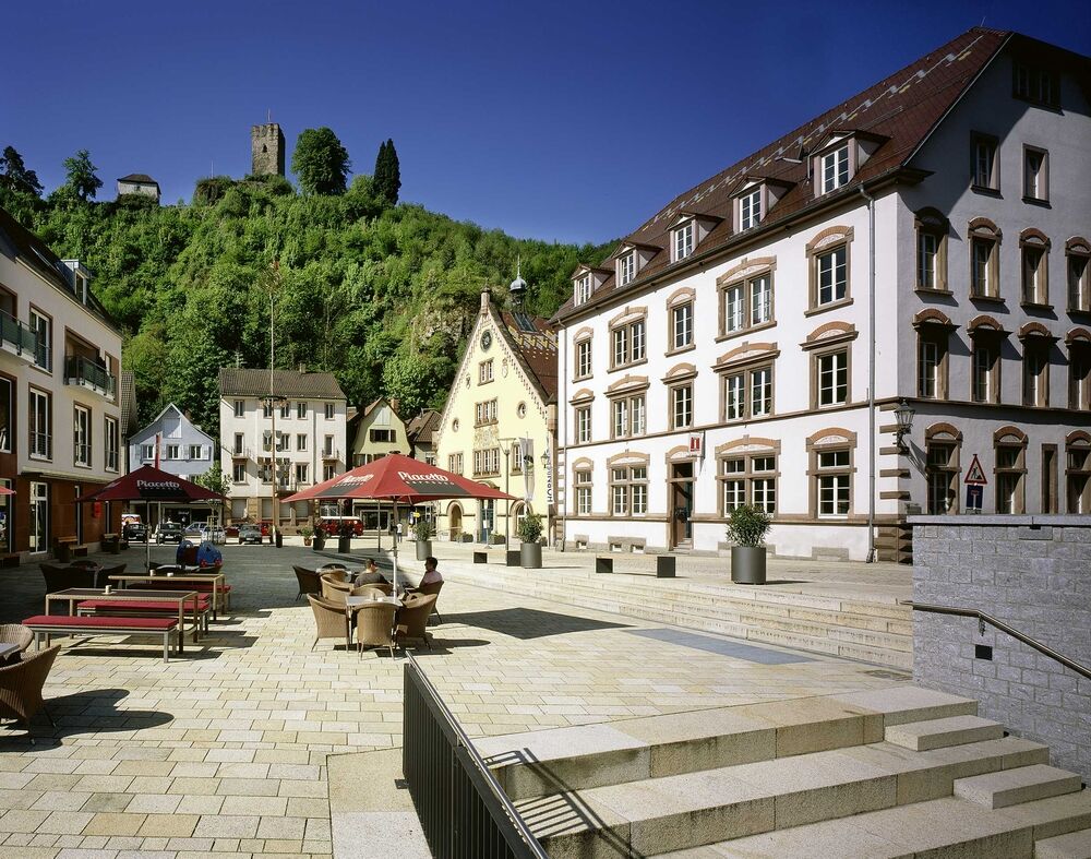

We hike from the forest car park at Fohrenbühl towards Hohe Straße - Hoher Straßenacker to Hornberg viewpoint (2 km) and back to Hoher Straßenacker. Then continue towards Rohrenbauernhof and to Gasthaus Krone in Reichenbach and then to Reichenbach village. From there we continue hiking to Hornberg via Schondelgrund - Straßerhof - Mühlepeter - Rebbergstraße to the town center of Hornberg.
From Hornberg: Follow L108 towards Schramberg. At the pass between Gasthaus Schwanen and Gasthaus Adler, turn left; after a few meters the hiking car park is on the right side
From Lauterbach: Follow L108 towards Hornberg. At the pass between Gasthaus Adler and Gasthaus Schwanen, turn right; after a few meters the hiking car park is on the right side.
By demand-responsive bus from Hornberg to Fohrenbühl
Hiking car park at the Fohrenbühl pass
Places to eat at Gasthaus Krone Reichenbach or at Hotel Schondelgrund in Hornberg
Uzyskaj wgląd
Zawsze na żywo z ponad 9 500 kamer internetowych. bergfex Jako użytkownik Pro, możesz teraz zobaczyć odpowiednie kamery internetowe dla wielu wycieczek w aplikacji wycieczki od. Pozwala to na bezpośredni podgląd aktualnych warunków.
Popularne wycieczki w okolicy
-
4,8
Ortenau legend circular routes: Devil's Pulpit
średniWędrówka 10,2 km -
4,7
Genießerpfad - U(h)rwaldpfad Rohrhardsberg
średniTrasa tematyczna 8,72 km -
4,0
Triberger Wasserfälle naar Prizen
średniWędrówka 11,5 km -
4,8
AugenBlick-Runde Lauterbach Güntersberg
światłoWędrówka 10,2 km -
3,0
Lauterbach High Valley Circuit in the hiking paradise Alb - Black Forest
światłoWędrówka 10,7 km -
4,0
Over the Blindensee lake to Wilhelmshöhe
średniWędrówka 16,0 km -
4,7
Waldsee circular route to the Urenkopf tower
średniWędrówka 7,30 km -
4,0
Circular hike on the Black Forest Railway Experience Trail
średniWędrówka 6,56 km -
5,0
Wolfach settlers' loop large round
średniWędrówka 9,04 km -
Westweg - Westvariante
ciężkidługodystansowy szlak pieszy 288,8 km

Wędrówki i tropienie


Nie przegap ofert i inspiracji na następne wakacje
Twój adres e-mail została dodana do listy mailingowej.





