






Schippenwald Tour
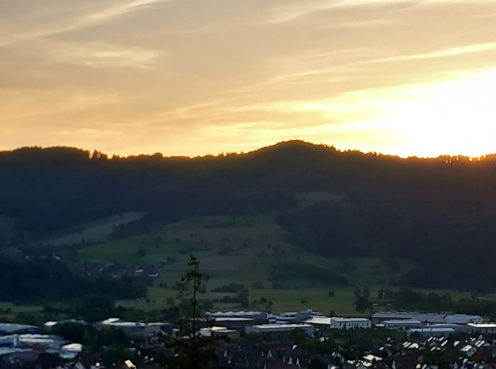
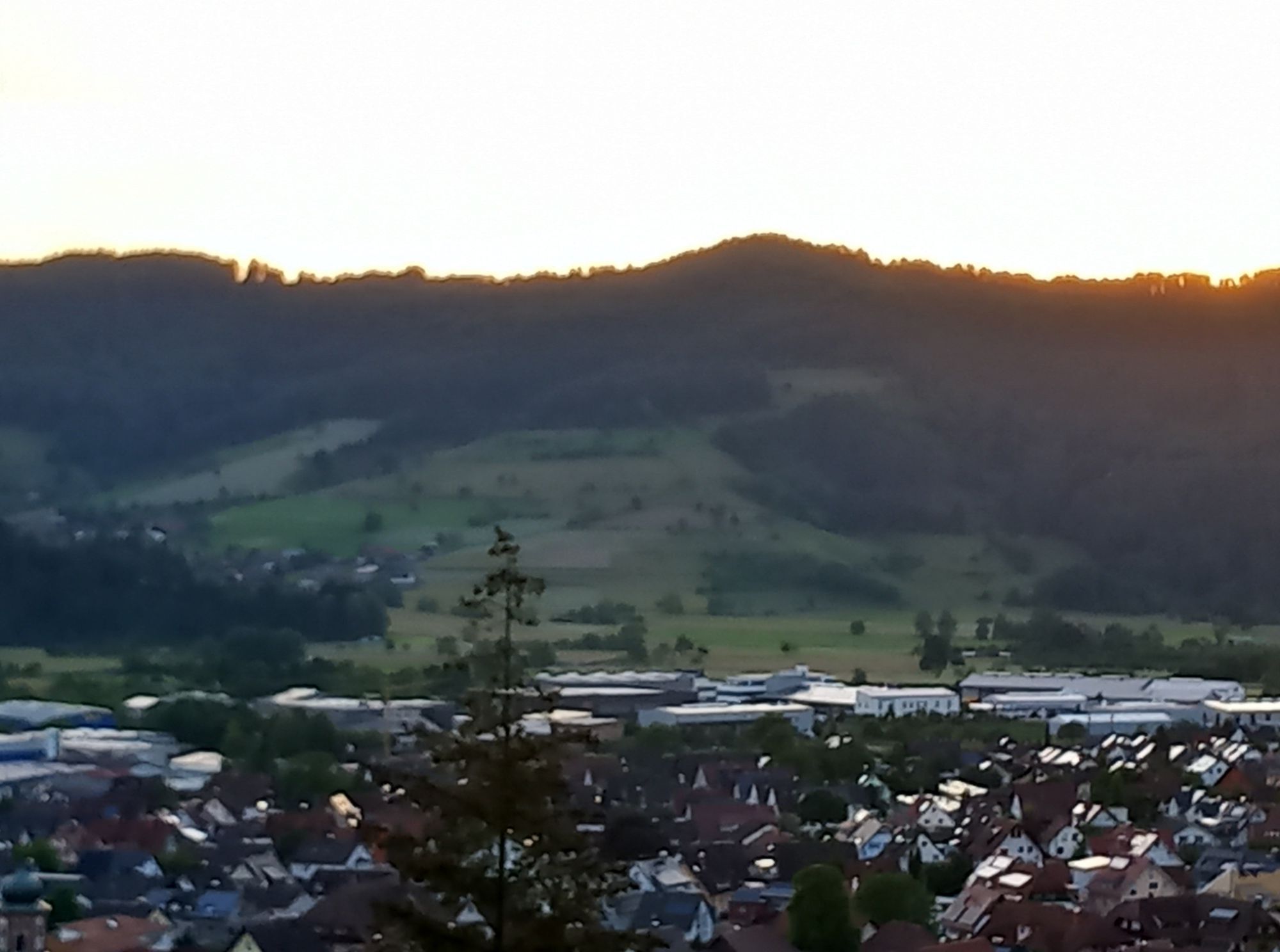
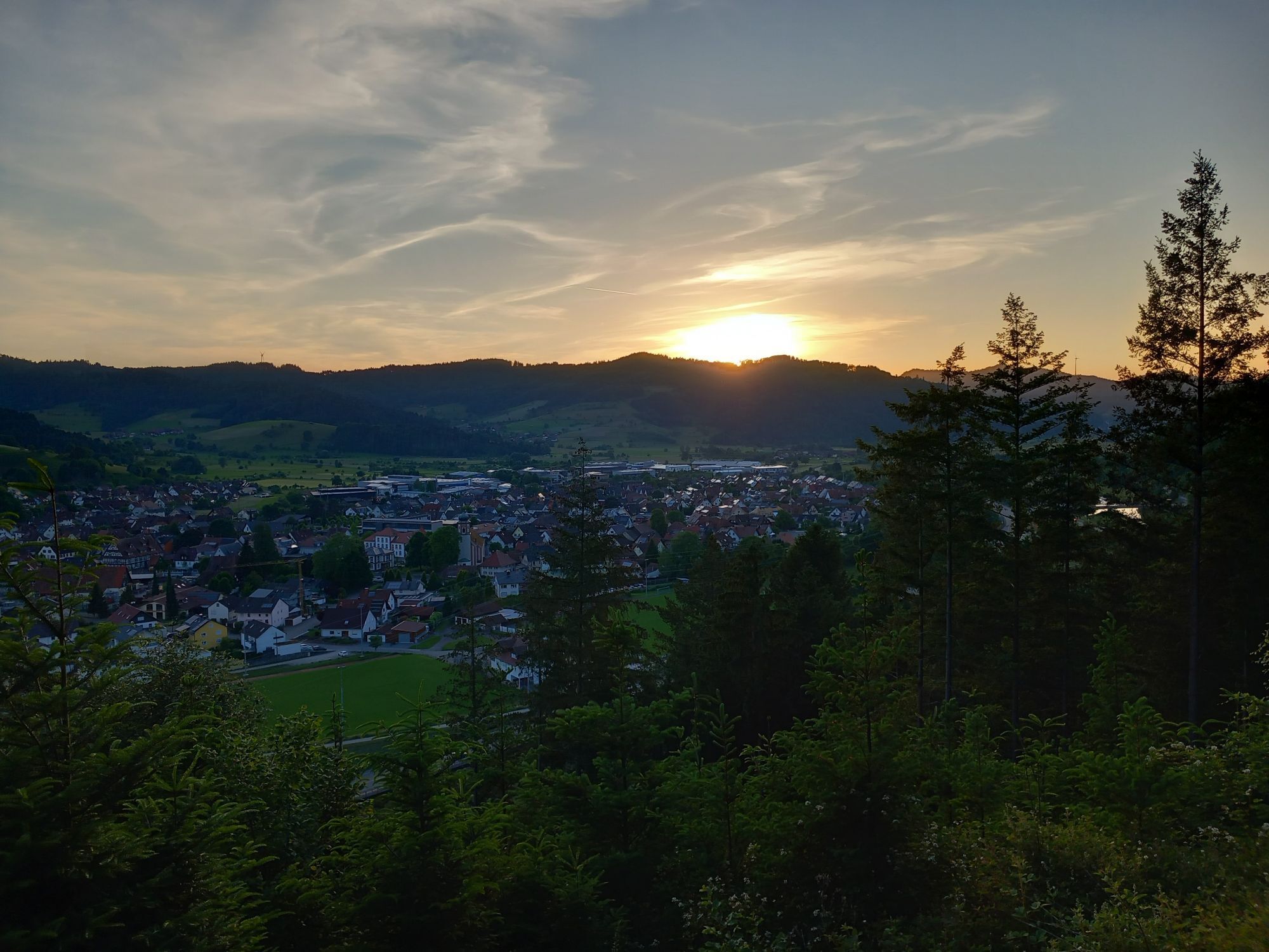
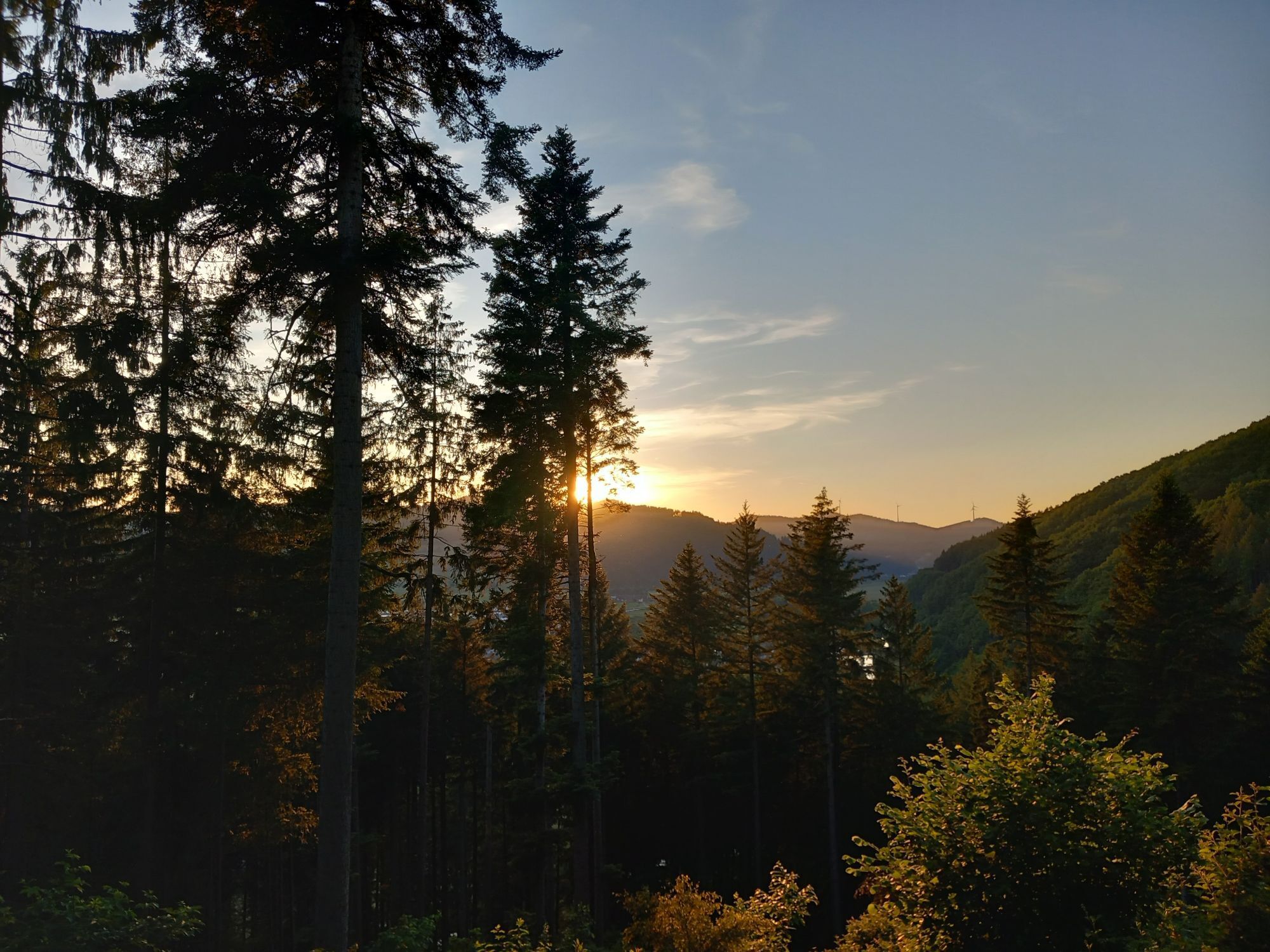
From the Steinach sports field the path leads onto the Kinzig dam, turning right towards Haslach, then over the Kinzig footbridge to the other side of the Kinzig.
Follow the signpost of the Jakobsweg trail,...
From the Steinach sports field the path leads onto the Kinzig dam, turning right towards Haslach, then over the Kinzig footbridge to the other side of the Kinzig.
Follow the signpost of the Jakobsweg trail, the red shell, and reach "Webers Kreuz" via Fenschenbergweg. Over Heizenberg you hike to Katzenstein, a unique rock formation. The path takes you through Schippenwald to the chapel of peace. "Above Ladhof" you leave the forest and follow the path towards "Stöcken." After the inn "Rebstock," you go under the railway underpass and reach the power station, shortly after which you reach the Kinzig bridge, which you cross. After the Kinzig bridge, you return on the left side to the Kinzig dam, which leads you back to the starting point, the sports field.


Steinach sports field - Kinzig footbridge - Fenschenberg - Weberskreuz - Katzenstein - Schippenwald - chapel of peace - above Ladhof - Stöcken - power station - Kinzig bridge - Kinzig dam - sports field
Bus line 7151 from Haslach or bus line 7160 from Offenburg
Exit Sonne
Free parking at the Steinach sports field
Hiking map Gastliches Kinzigtal, Hornberg and Gutach, 1st edition, available at the Tourist Information Gastliches Kinzigtal,
Tel.: 07832/706-170
Clubhouse SV Steinach, Kinzigstraße
Inn "Rebstock", Stöcken
Uzyskaj wgląd
Zawsze na żywo z ponad 9 500 kamer internetowych. bergfex Jako użytkownik Pro, możesz teraz zobaczyć odpowiednie kamery internetowe dla wielu wycieczek w aplikacji wycieczki od. Pozwala to na bezpośredni podgląd aktualnych warunków.
Popularne wycieczki w okolicy
-
4,8
Hahn und Henne Tour
średniWędrówka 15,0 km -
4,3
Oberhamersbach Vesperweg
średniWędrówka 14,5 km -
4,8
Ortenau legend circular routes: Devil's Pulpit
średniWędrówka 10,2 km -
4,3
Paradiessteig Hofstetten
średniWędrówka 12,8 km -
4,7
Waldsee circular route to the Urenkopf tower
średniWędrówka 7,30 km -
5,0
Wolfach settlers' loop large round
średniWędrówka 9,04 km -
Westweg - Westvariante
ciężkidługodystansowy szlak pieszy 288,8 km -
4,5
Sontagstour
światłoWędrówka 11,8 km -
5,0
Gemütliche Runde ab Wanderparkplatz Pfingsteck, Freiamt
światłoWędrówka 4,62 km -
5,0
Connoisseur path - Hausacher Bergsteig
średniWędrówka 13,5 km
Wędrówki i tropienie


Nie przegap ofert i inspiracji na następne wakacje
Twój adres e-mail została dodana do listy mailingowej.





