







Comfort Hiking Trail 2 - from Langer Kirschbaum to Weißen Stein

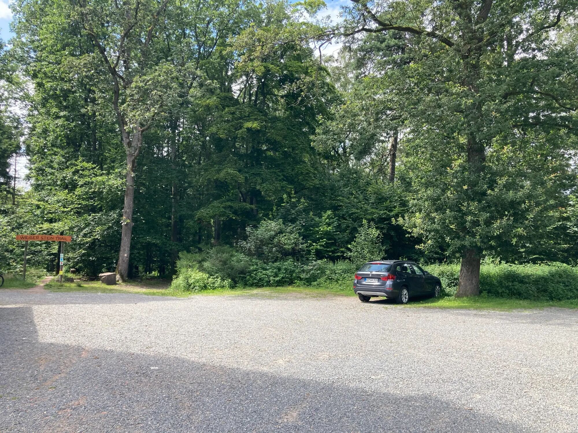
The comfort hiking trail starts at the "Langer Kirschbaum" hiking car park. At the beginning, the path leads past the adventure forest on a flat area through the forest. The path is well paved, sufficiently...
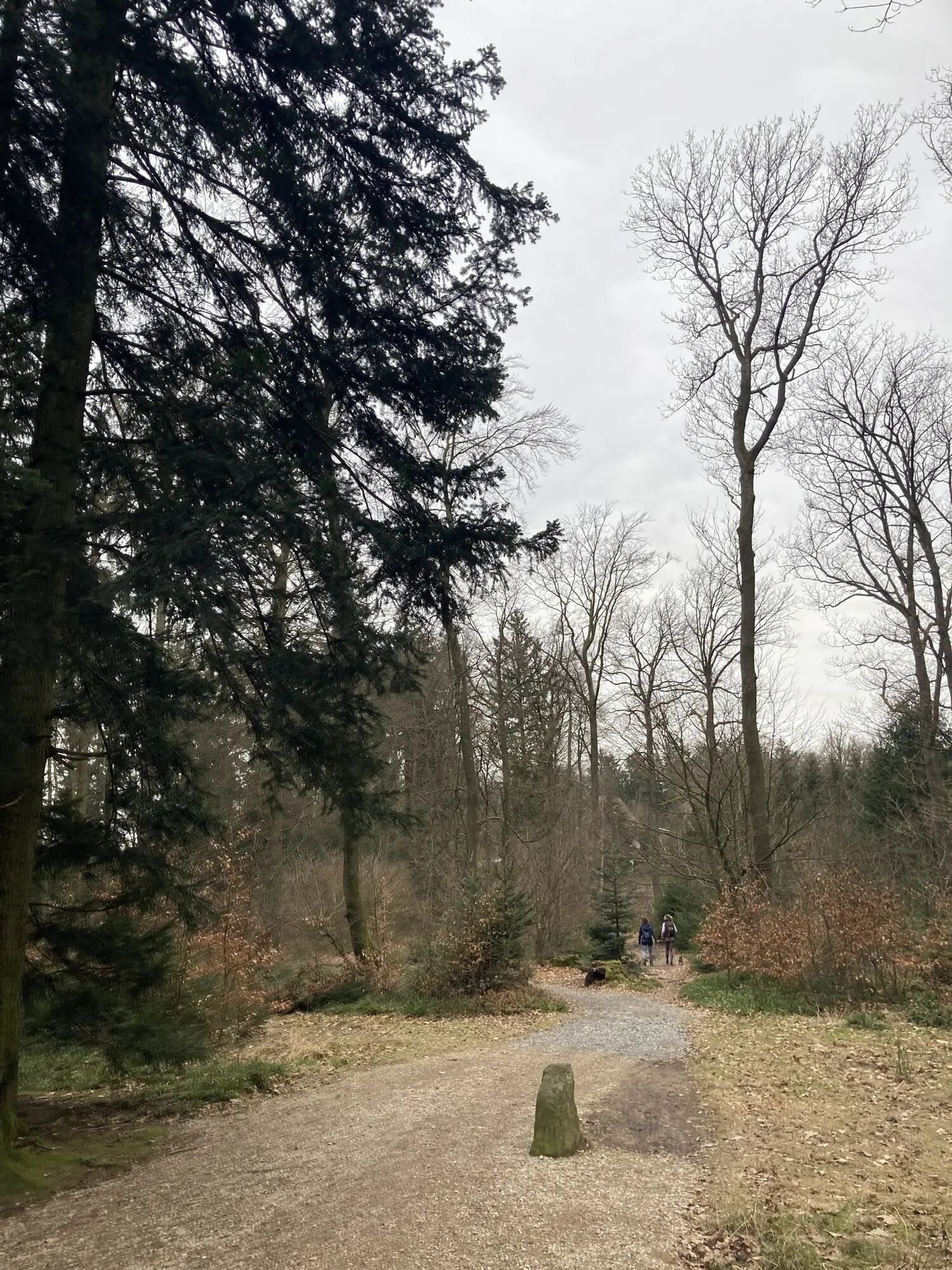
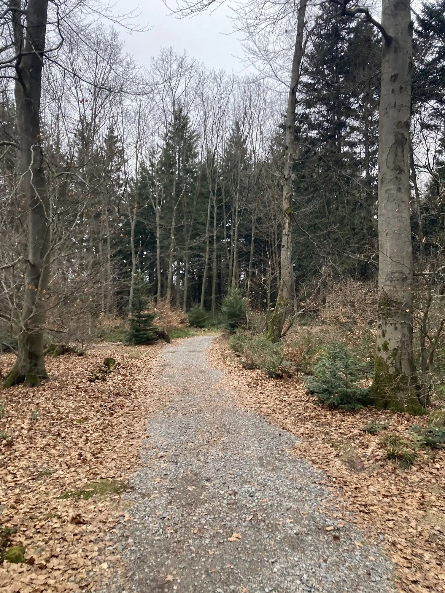
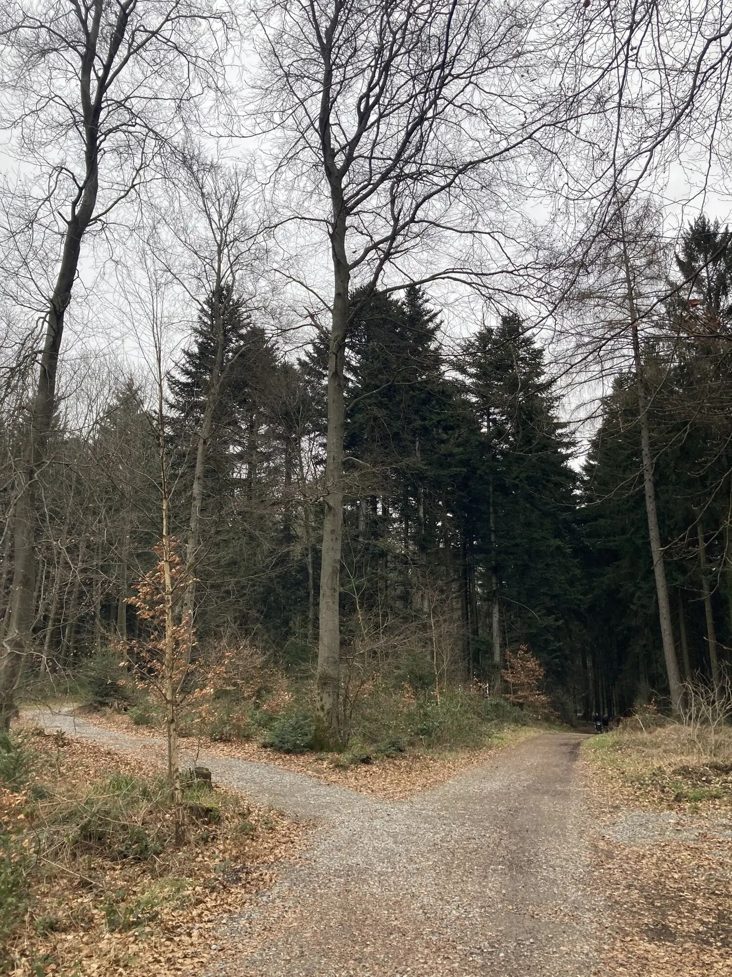
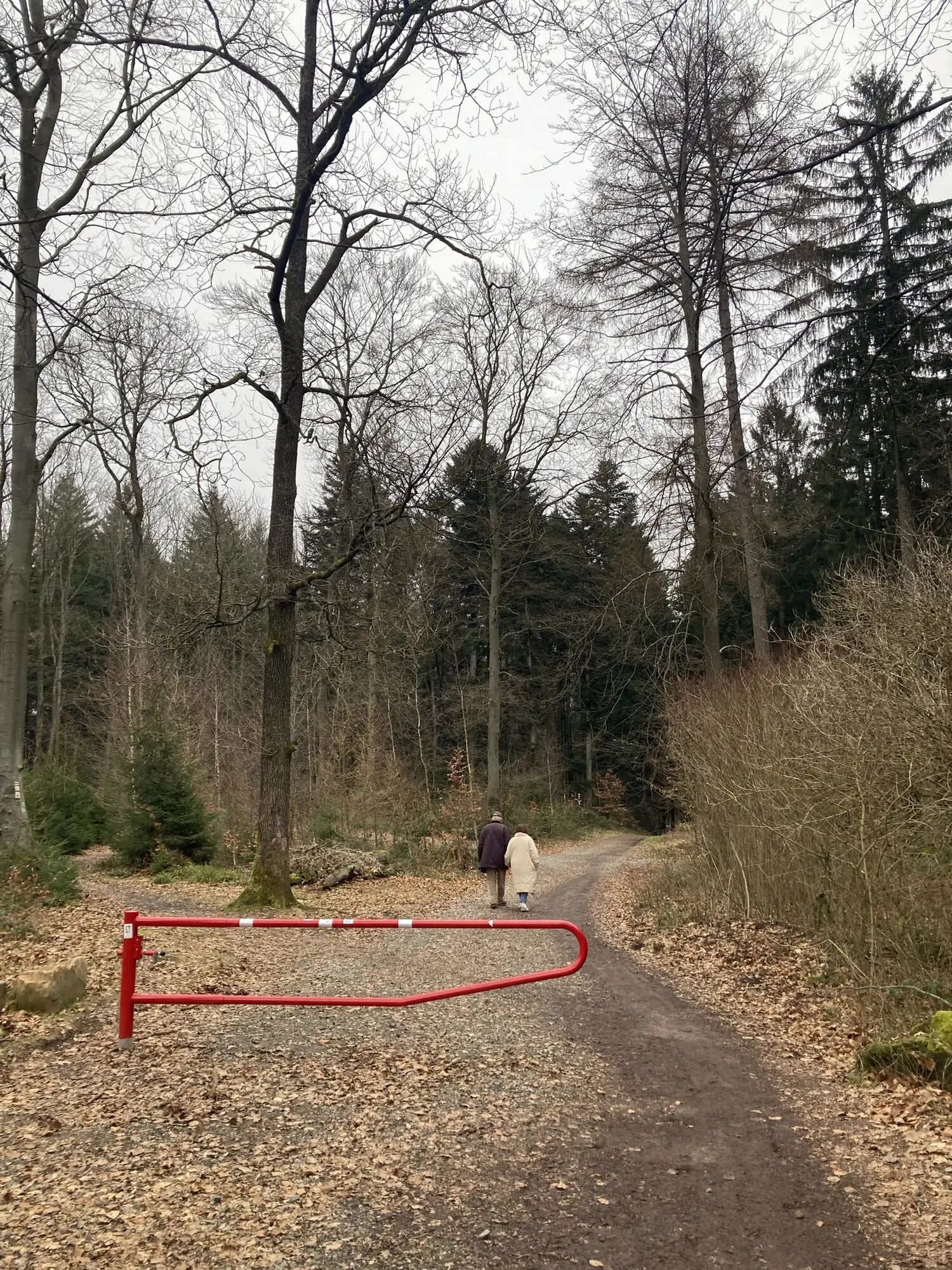
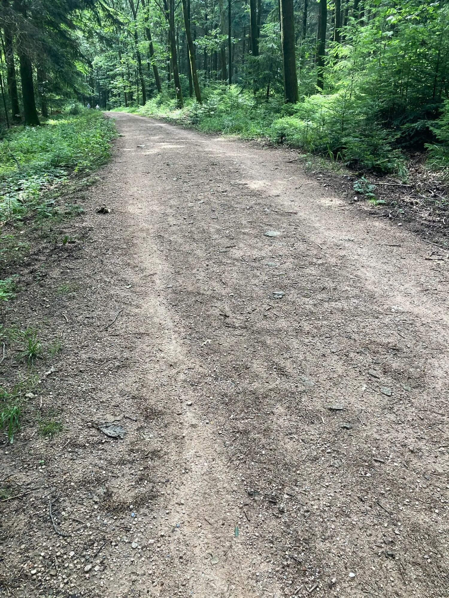
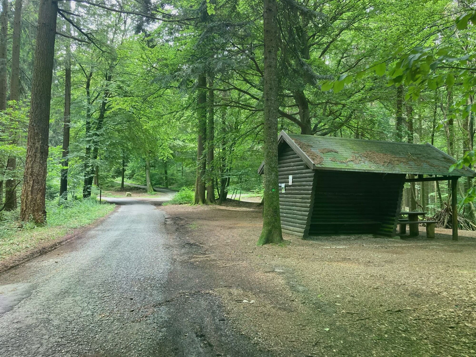
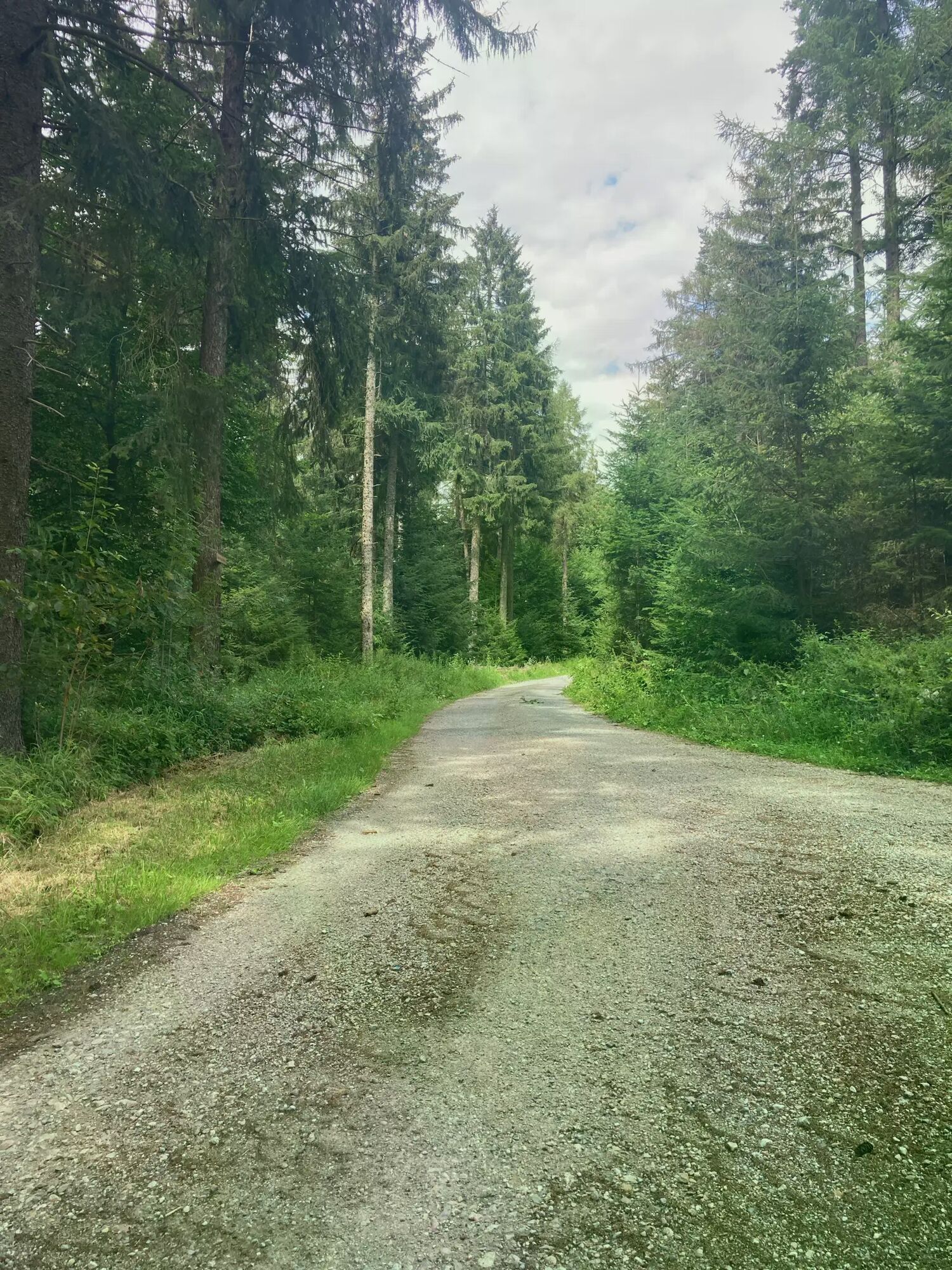
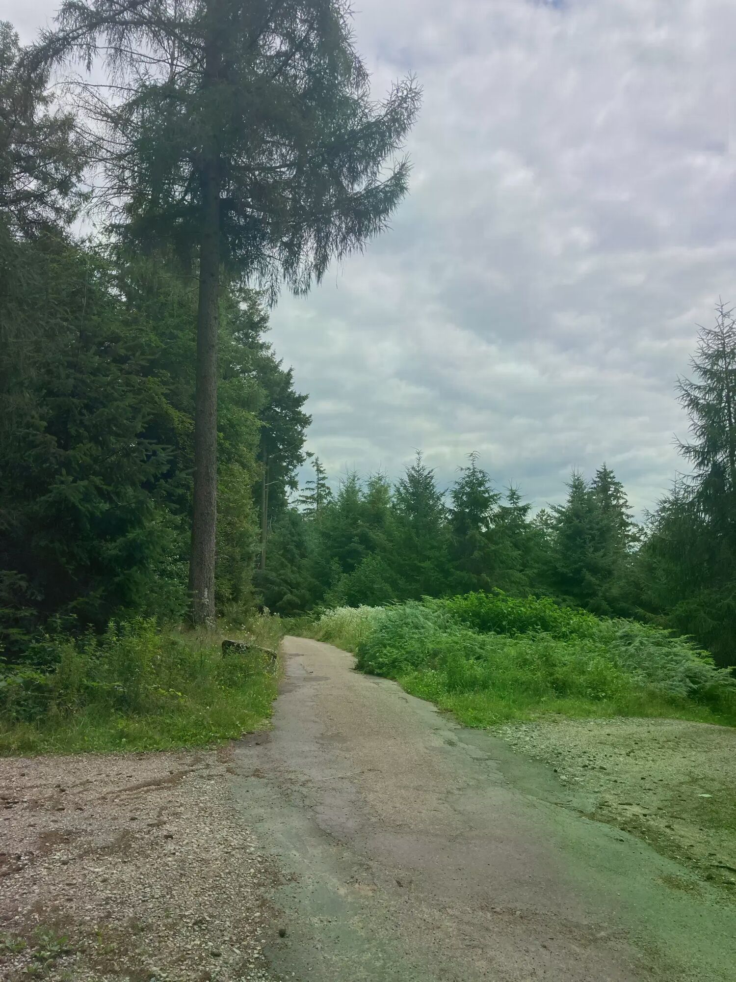
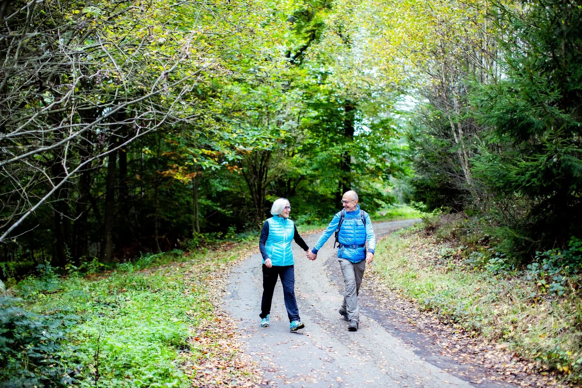
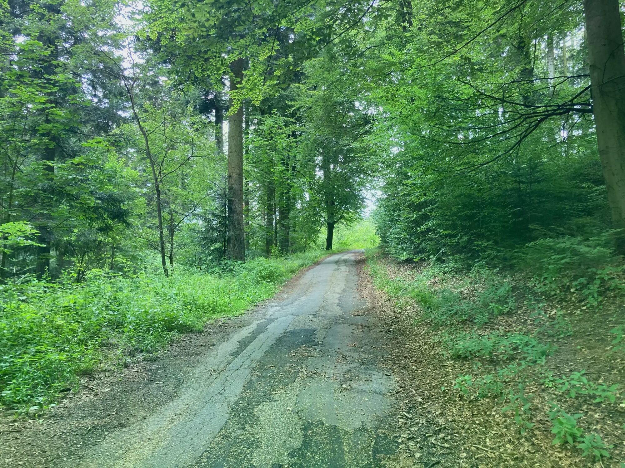
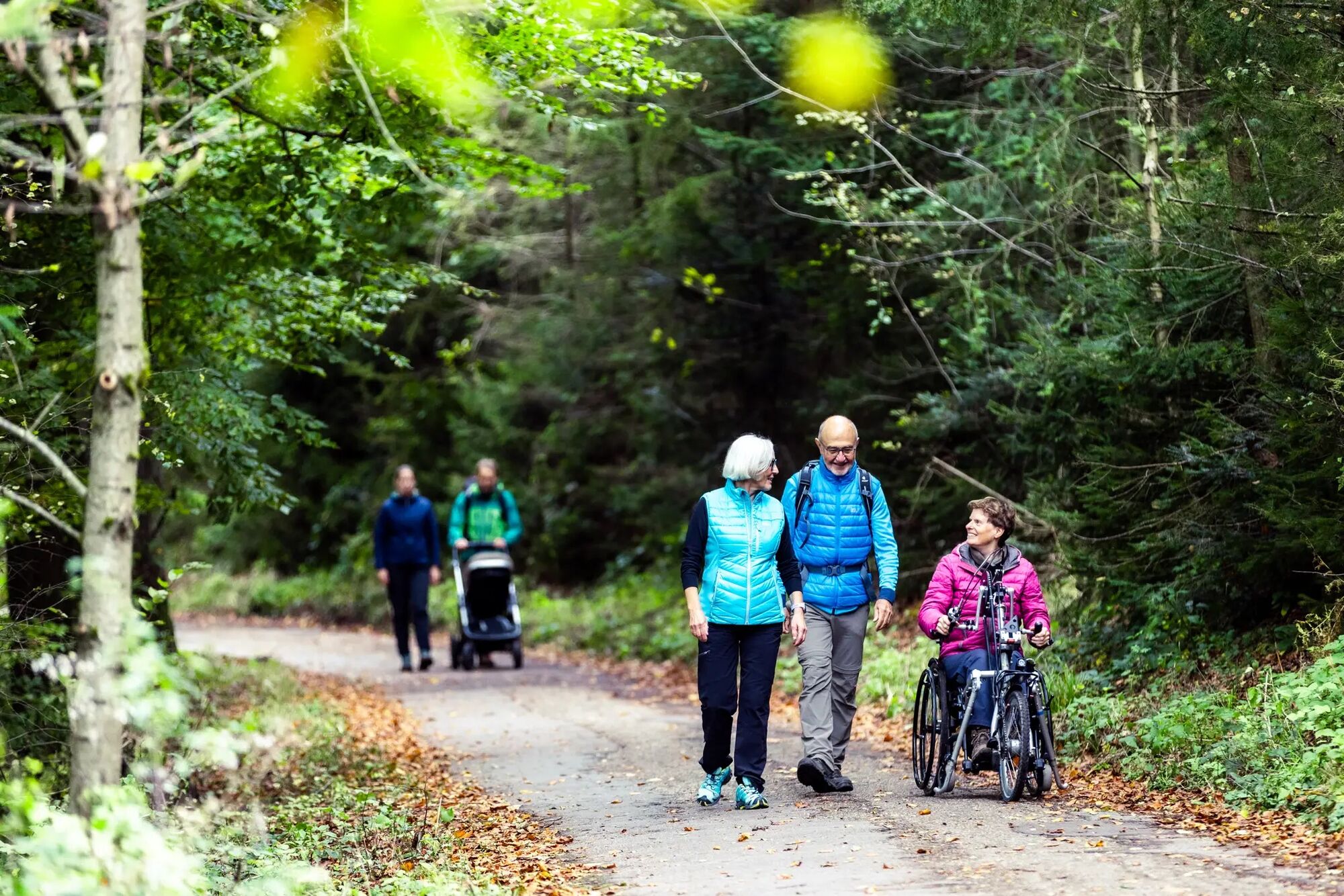
The comfort hiking trail starts at the "Langer Kirschbaum" hiking car park. At the beginning, the path leads past the adventure forest on a flat area through the forest. The path is well paved, sufficiently wide, and has only a few inclines. On the outbound route, there are repeatedly wide views, a beautiful mixed forest, as well as boundary stones and memorial stones to observe. This path is also a section of the Camino-Incluso. Further on, the trail leads to the Weißer Stein Tower, from which you can enjoy a beautiful view of the surroundings (viewing tower accessible by steps). Additionally, there is a guesthouse with a beer garden and a children's playground. The greatest incline on the way to the mountain inn is 12% over a distance of 60 meters (asphalt). Parts of the return route lead over a paved forest path with a water-bound surface (gravel). The path finally ends again at the "Langer Kirschbaum" hiking car park. Further information about the hiking trails can be found on the nature park's homepage:

Information on comfort/accessibility:
Arrival:
Hiking car park "Langer Kirschbaum"
No designated and marked disabled parking space available.
Alternative: Hiking car park Weißer Stein
Designated and marked disabled parking space available.
Public transport:
Bus stop "Langer Kirschbaum" (distance: 25 m).
Public toilet in the Weißer Stein mountain inn (during opening hours). Additional public toilet with Euro WC key freely accessible outdoors.


Popularne wycieczki w okolicy
- 4,2
Wilhelmsfeld: hike through the Kameralwald
średniWędrówka 10,0 km - 4,5
Zum Königstuhl
średniWędrówka 15,9 km - 5,0
Vier-Burgen-Tour Neckargemünd/Neckarsteinach
Wędrówka 12,8 km To the Spat Gorge
średniWędrówka 12,1 km- 4,2
Neckarsteinach, 4-Burgen-Blick
średniWędrówka 16,3 km - 4,5
Neckarsteig Etappe 1 + 2
średniWędrówka 23,1 km Burgensteig Bergstraße (komplette Route)
Wędrówka 116,2 km- 5,0
Neckarsteig Etappe 3 Neckarsteinach - Hirschhorn
światłoWędrówka 16,4 km Schriesheim Klettersteig, Germany
światłoVia ferrata 3,78 km- 3,5
Rundweg: Aschbach-Raubach-Frankel-Säckenrain-Grube
światłoWędrówka 20,6 km
Wędrówki i tropienie


Nie przegap ofert i inspiracji na następne wakacje
Twój adres e-mail została dodana do listy mailingowej.





