







Around Kaltbrunn
Poziom trudności: T1
Discover the family-friendly circular hike around Kaltbrunn. The starting point is the hiking parking lot below the Martinshof inn. Along the way, numerous highlights await both young and old hiking friends:...
Discover the family-friendly circular hike around Kaltbrunn. The starting point is the hiking parking lot below the Martinshof inn. Along the way, numerous highlights await both young and old hiking friends: a photo point with traditional costume motifs for souvenir photos, a forest marble run and a cone tossing frame for playing, educational information boards about the local nature, as well as the cozy seating area “Kreszens”.

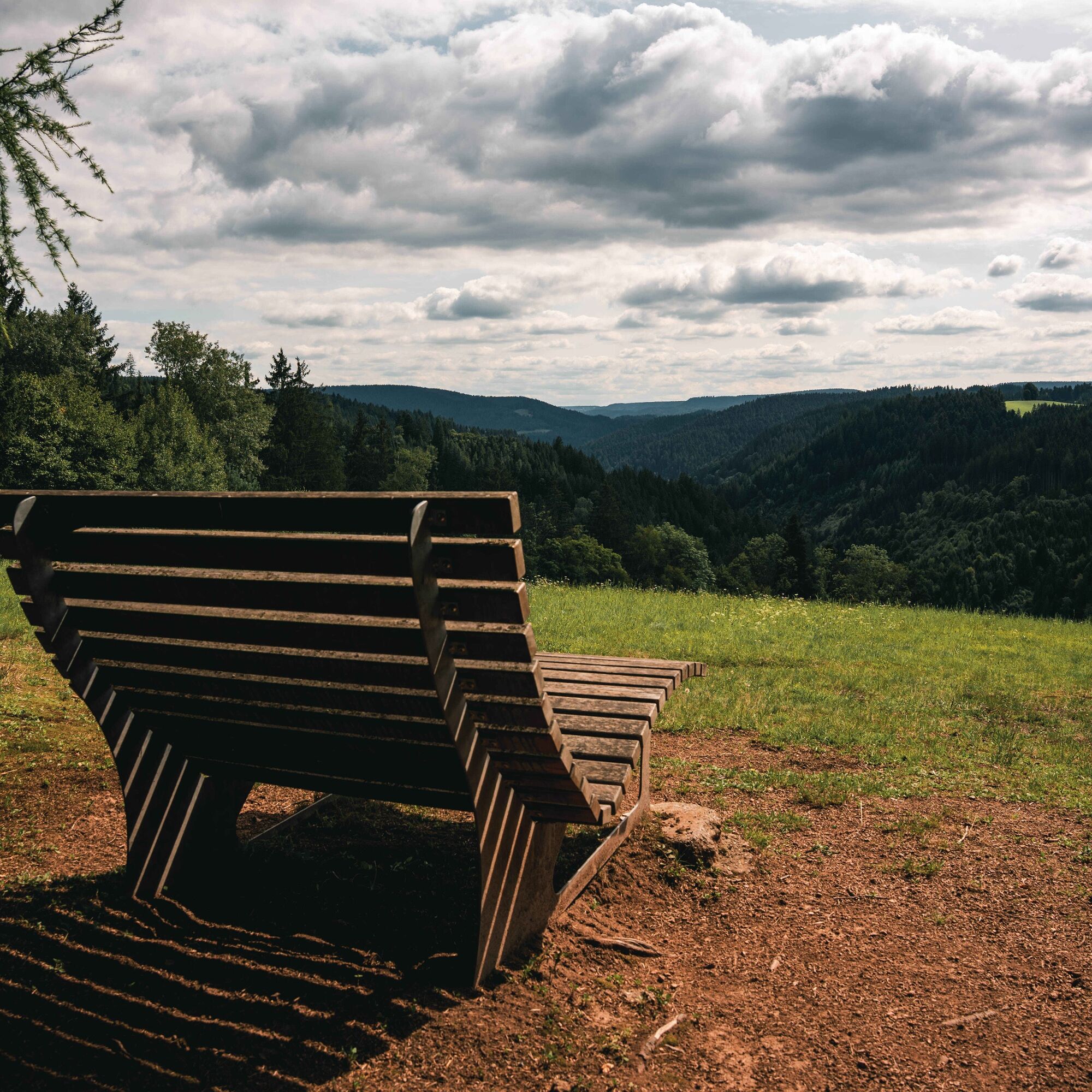
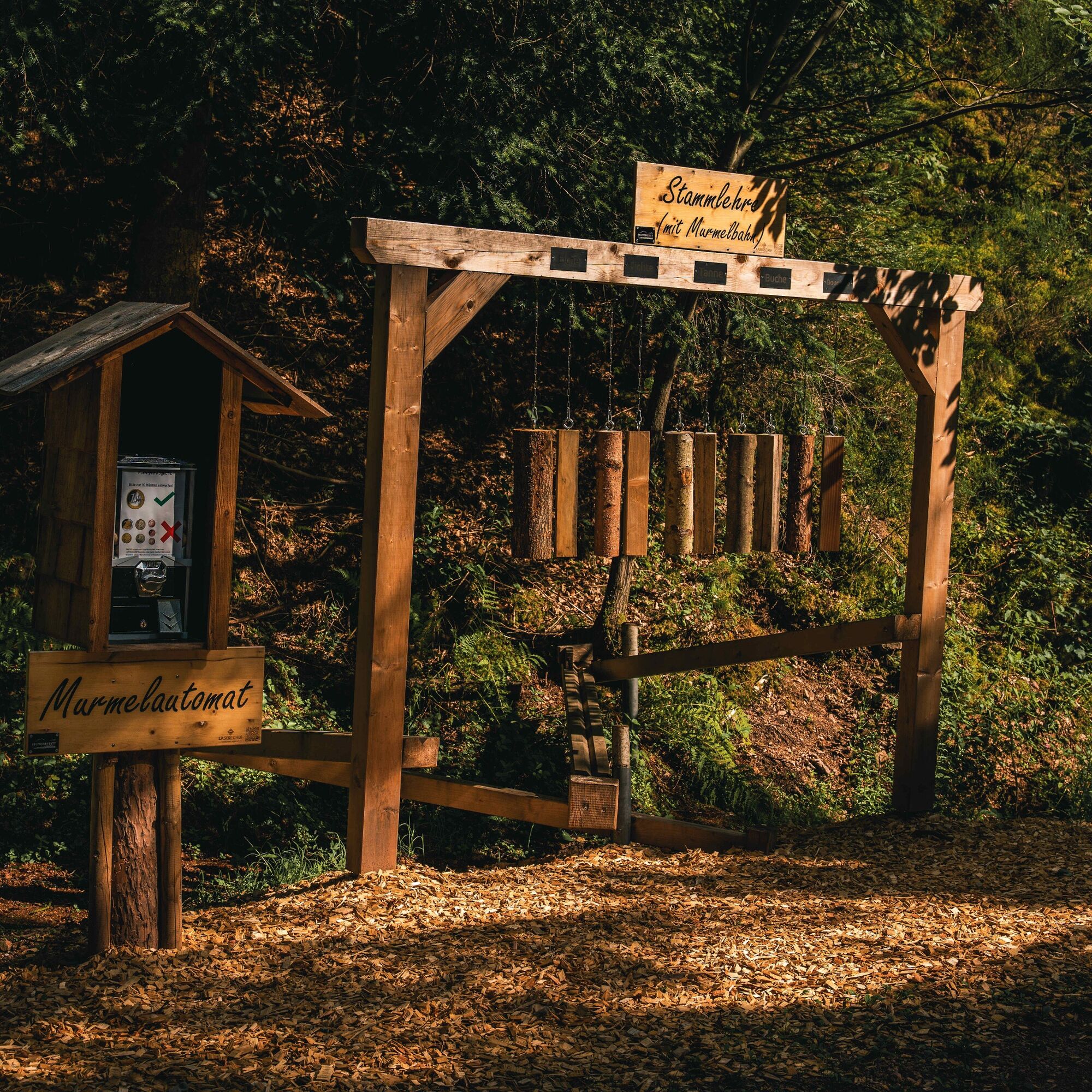
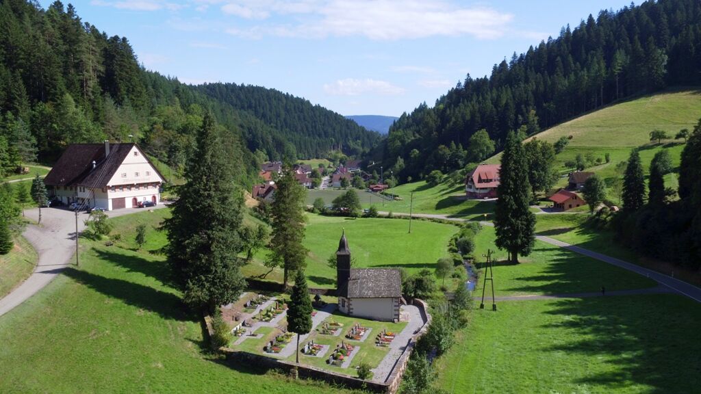
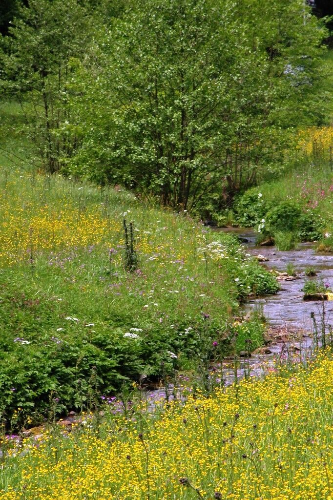
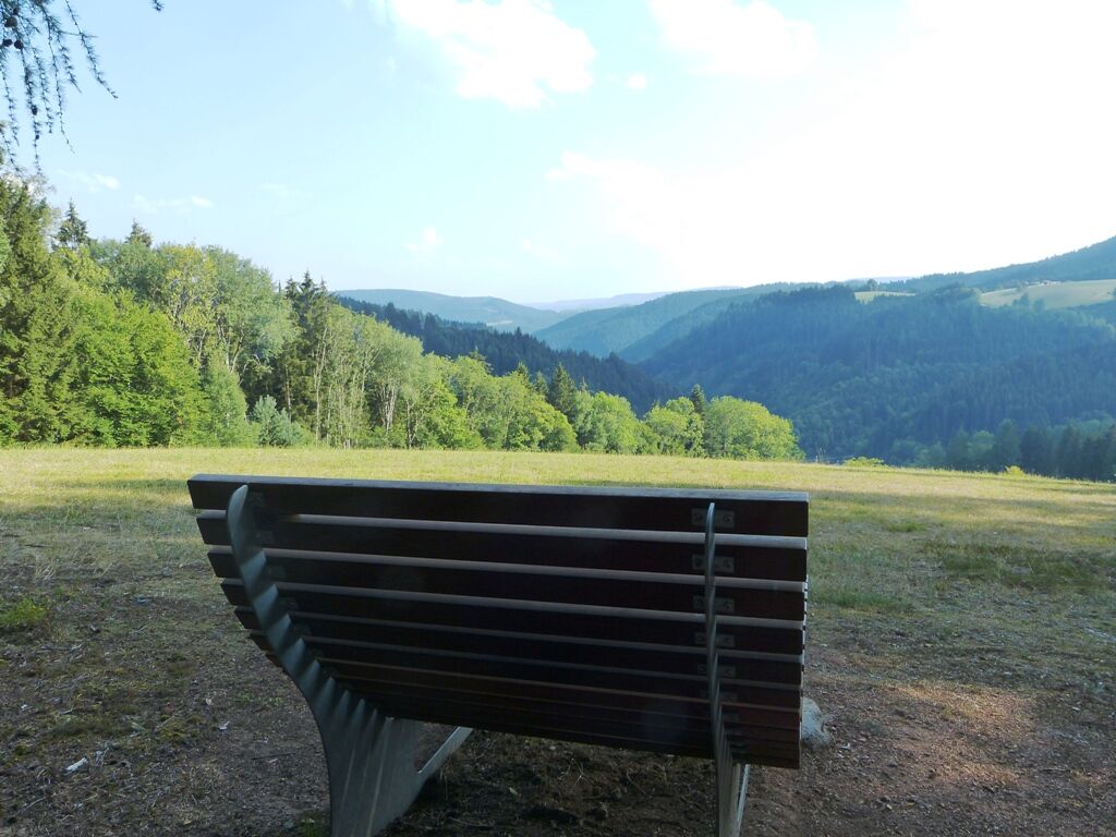

From the hiking parking lot, the path leads along the winter side of the valley or alongside the road to the Kaltbrunn sewage treatment plant. From there begins the ascent to the Hühnernest, where you can enjoy the wonderful view from the sky lounger. The photo point is also located here. Over the historic border path, you reach the Emle, where the seating area “Kreszens” invites you to linger. Those with a stroller choose the path below the Emle along the forest marble run and the cone tossing frame. From the Martinshof inn, the path leads past the rushing valley stream back to the starting point at the parking lot.
Tak
Tak
Sturdy footwear and weather-appropriate clothing
Coming from the B294, turn off at the center of Schenkenzell towards Vortal. In the Vortal area, take the 2nd exit towards Kaltbrunn. You will reach the parking lot at the cemetery on the right after approximately 2.5 km.
Free parking available at the hiking parking lot by the cemetery
T1
Hiking map:
Hiking paradise
Alpirsbach, Schenkenzell and Schiltach
at scale: 1:25,000
Can be purchased at the tourist information in Schenkenzell. It is also possible to order via the municipal homepage:
At the end, the Martinshof inn invites you to stop by – with traditional Black Forest cuisine and homemade specialties.
Popularne wycieczki w okolicy
-
4,8
Bad Peterstal-Griesbach - Himmelssteig für "Höhenverliebte"
ciężkiWędrówka 10,3 km -
4,6
Bad Rippoldsau - Cafe & Restaurant Zum Schlüssel - Klösterle - Burgbachwasserfall
średniWędrówka 11,2 km -
4,3
Oberhamersbach Vesperweg
średniWędrówka 14,5 km -
Rundwanderung zum Zwieselberg
średniWędrówka 17,2 km -
4,8
AugenBlick-Runde Lauterbach Güntersberg
światłoWędrówka 10,2 km -
3,0
Lauterbach High Valley Circuit in the hiking paradise Alb - Black Forest
światłoWędrówka 10,7 km -
Durchs Forbachtal nach Freudenstadt und über die Alte Kniebisstraße zurück
średniWędrówka 16,0 km -
Über die Höhen des Schwarzwaldes ins Wolftal
Wędrówka 24,7 km -
5,0
Wolfach settlers' loop large round
średniWędrówka 9,04 km -
Gemütliche Radtour zum Zwieselberg
Jazda na rowerze 15,1 km
Wędrówki i tropienie


Nie przegap ofert i inspiracji na następne wakacje
Twój adres e-mail została dodana do listy mailingowej.





