


East Way: Alpirsbach - Schramberg
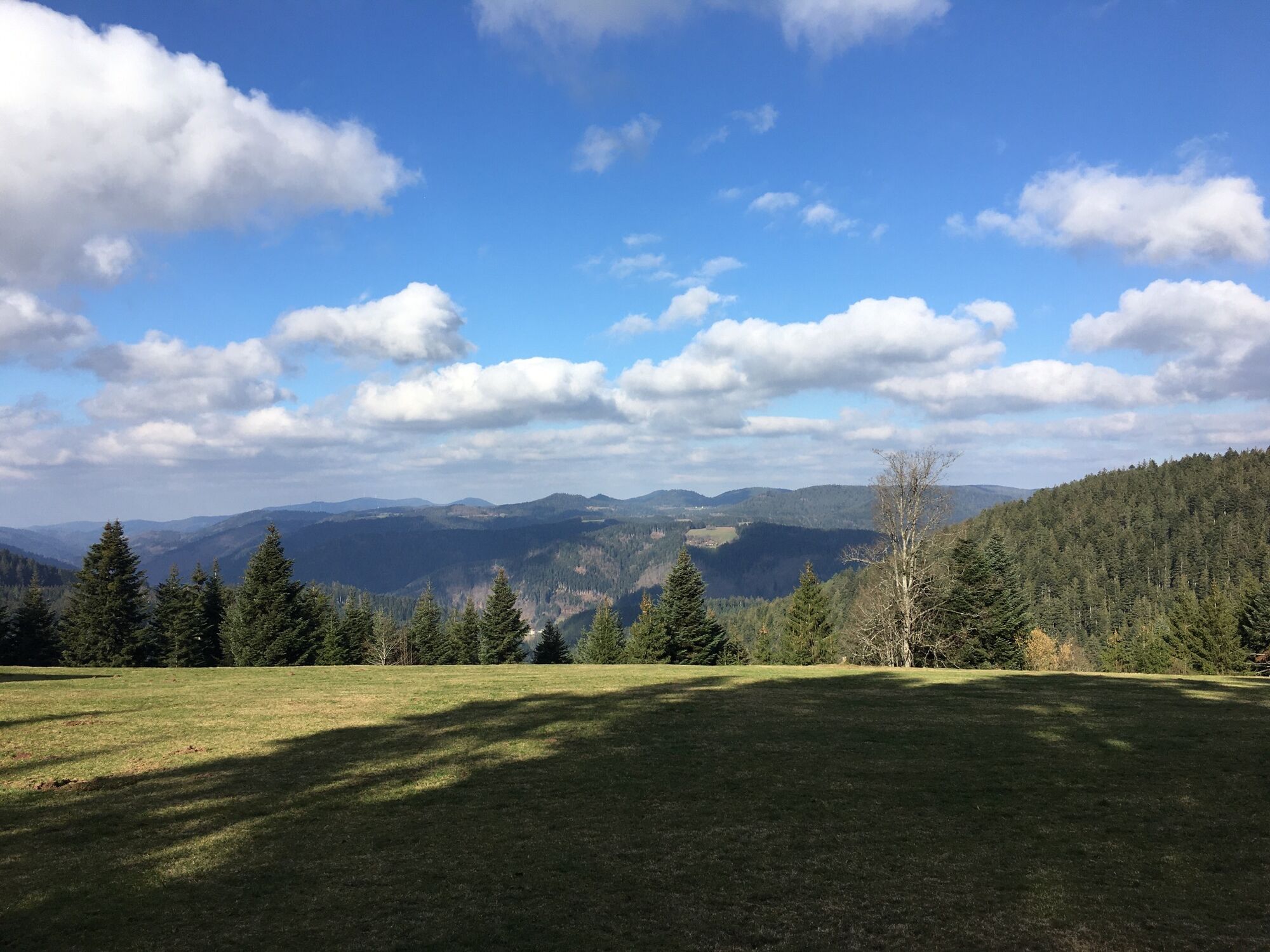
We start at the town hall of Alpirsbach and initially follow the black-red lozenge to Rötenbach and from there steeply uphill to Fräulinsberg, where we reach the first viewpoint over the Kinzig valley....
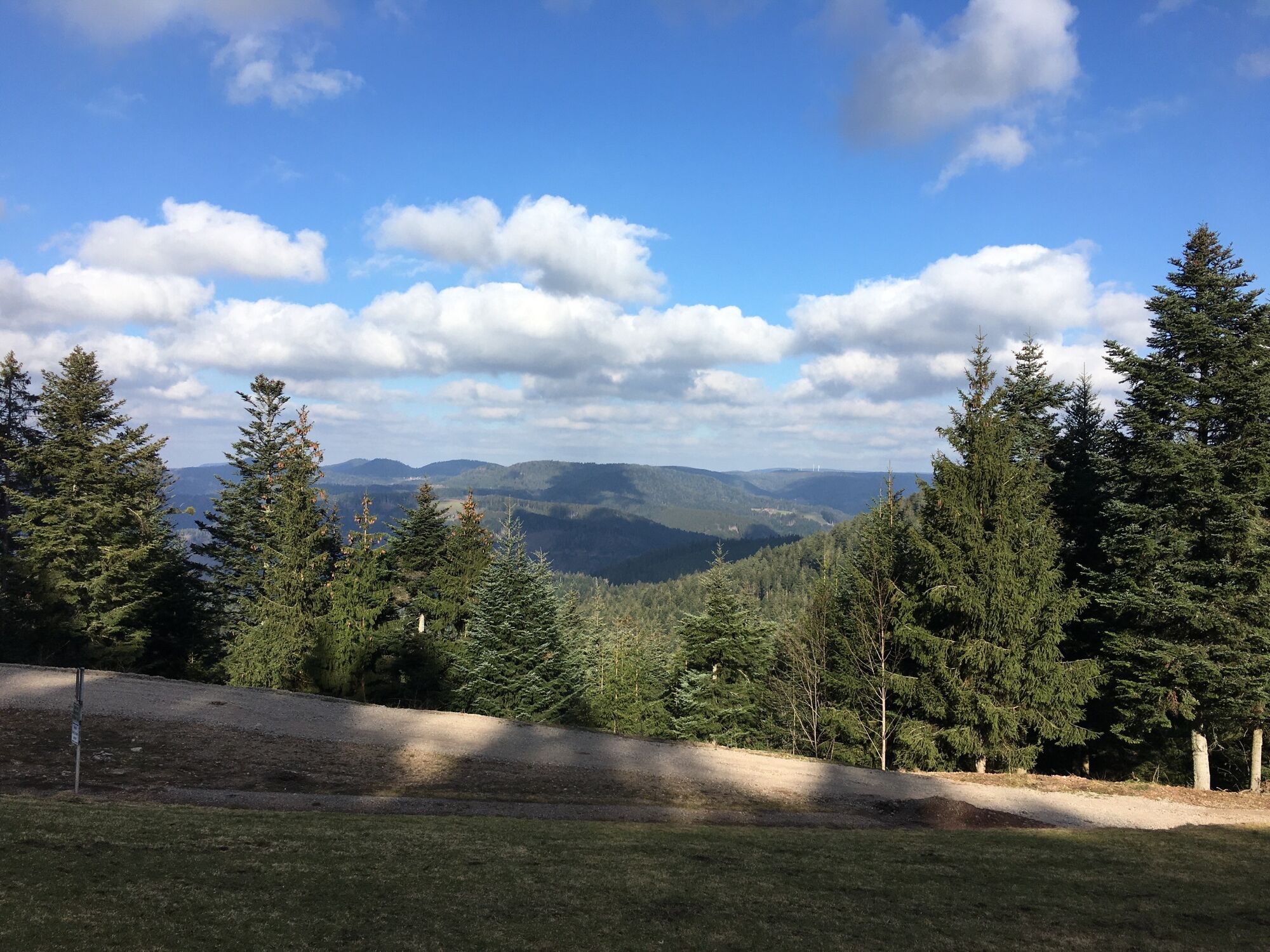
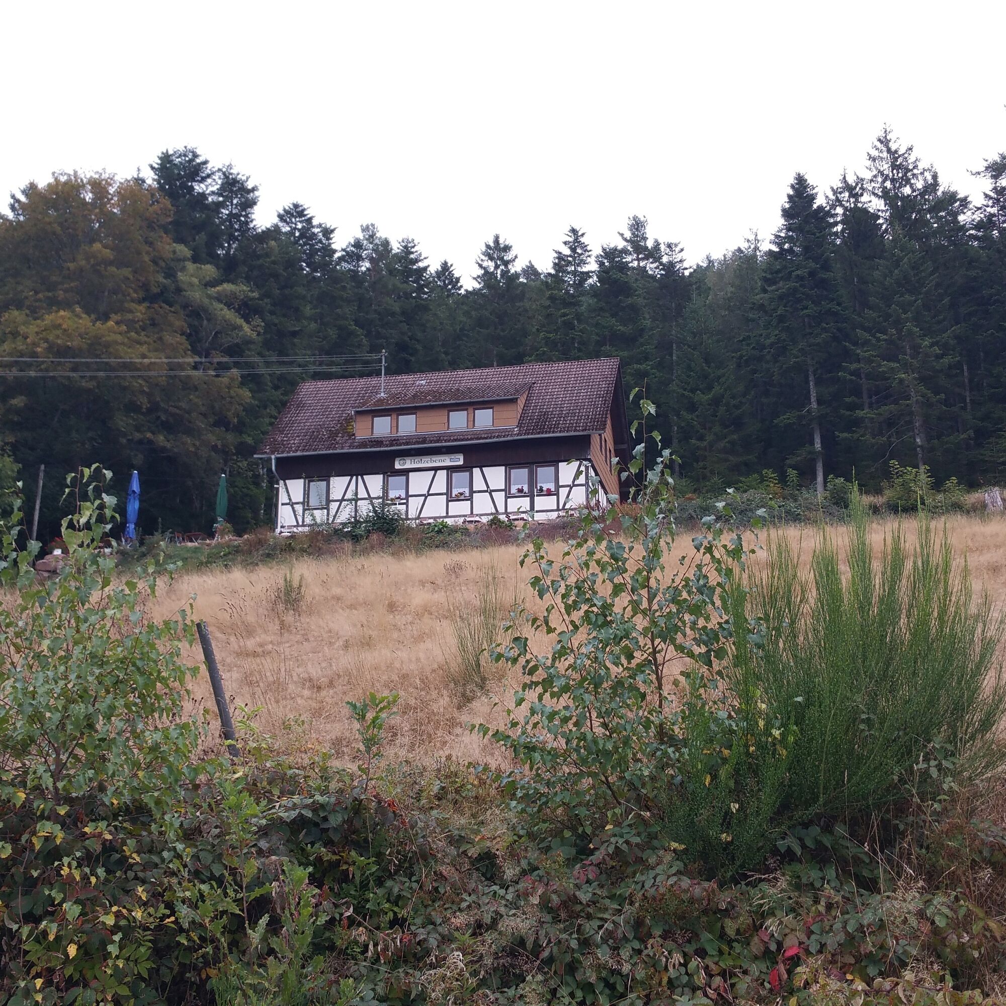
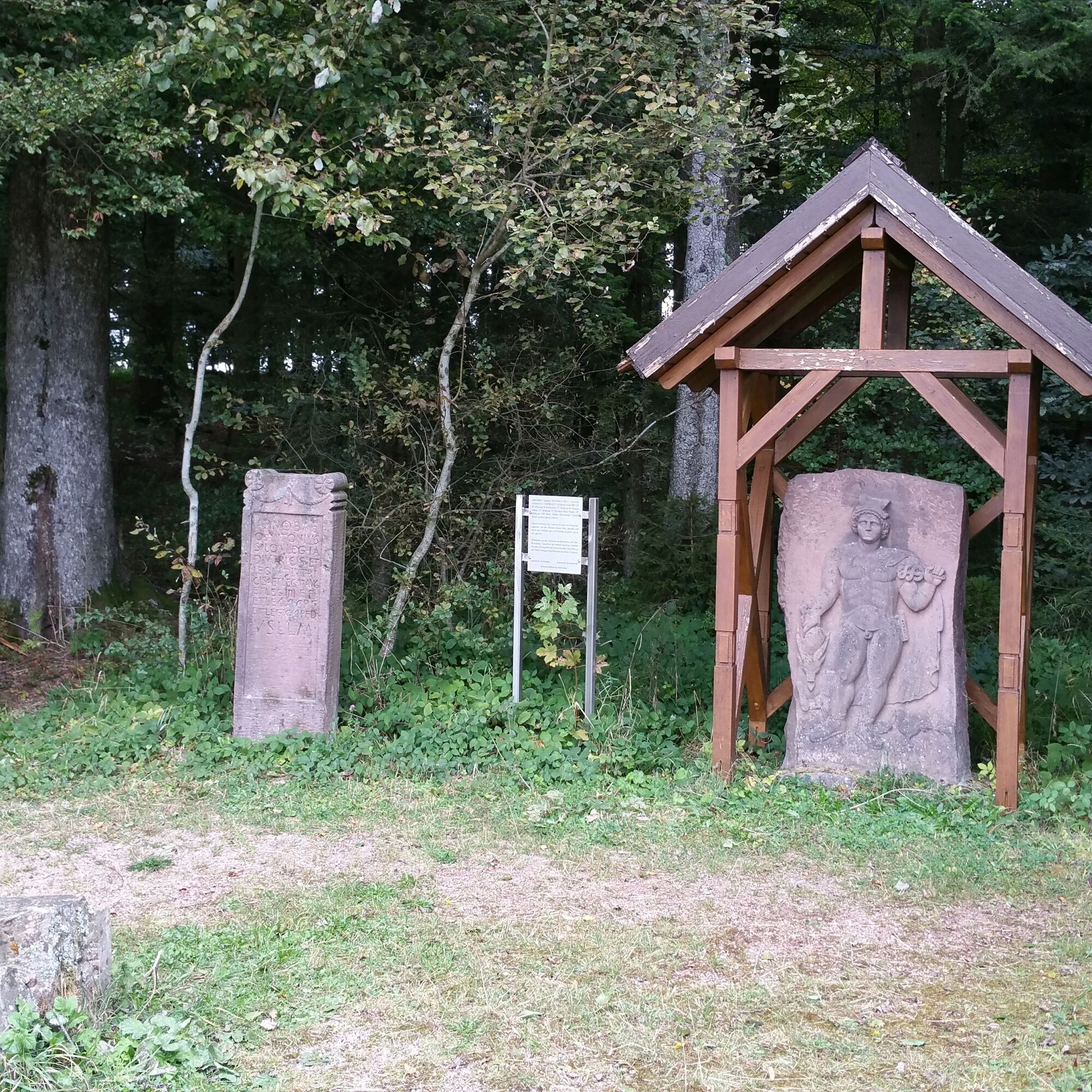
We start at the town hall of Alpirsbach and initially follow the black-red lozenge to Rötenbach and from there steeply uphill to Fräulinsberg, where we reach the first viewpoint over the Kinzig valley. Then it continues past small hamlets with stately farms, past the Naturfreundehaus on the Holzebene, until at Brandsteig we come across the remains of a Roman control station. Further along the stage, we hike behind Zollhaus along a section of the old border between Baden and Württemberg. This is visible by boundary stones that bear the Württemberg coat of arms on one side and the Baden coat of arms on the other.
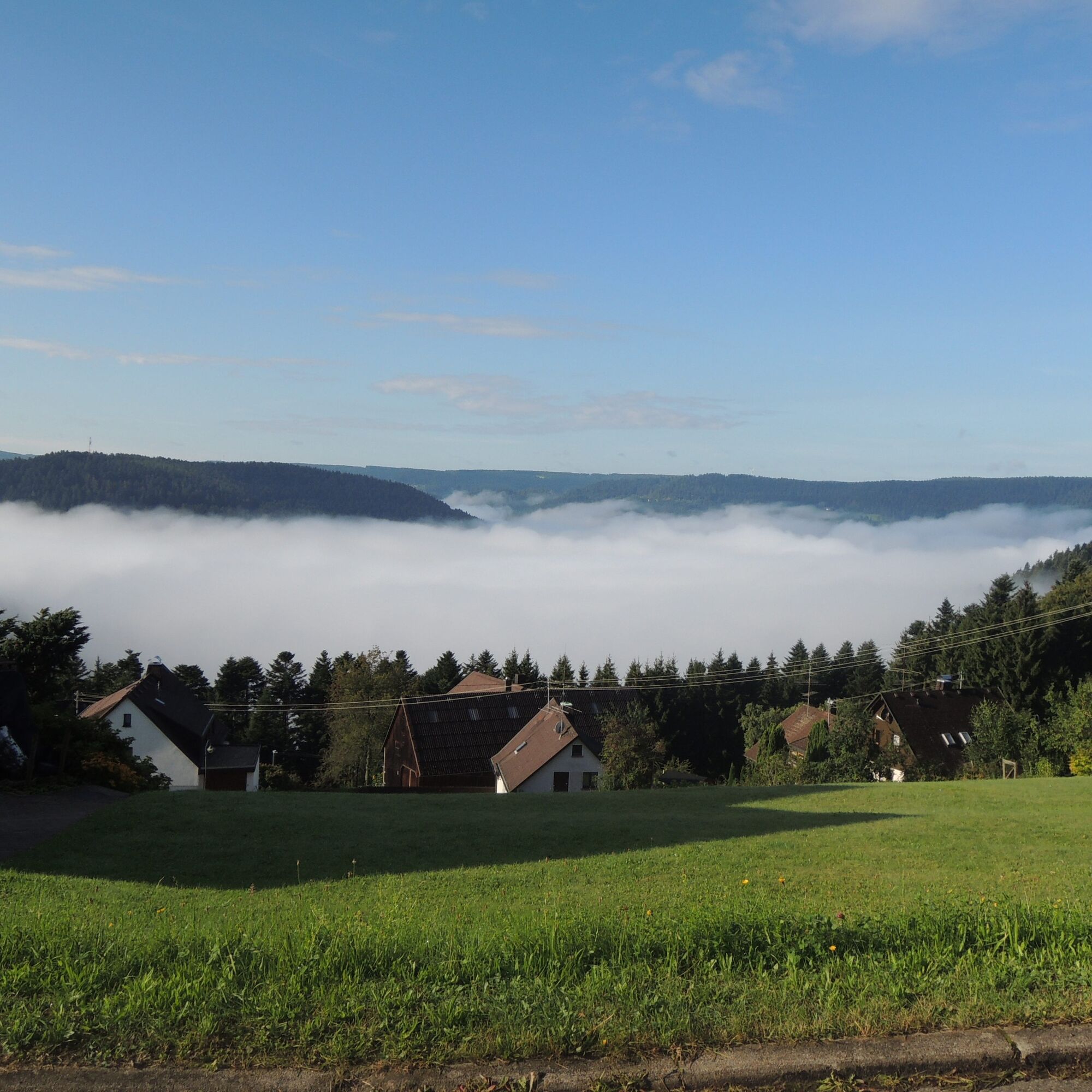
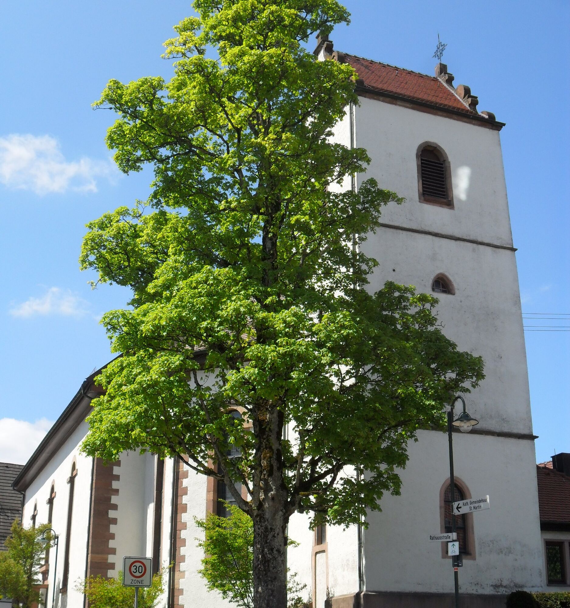
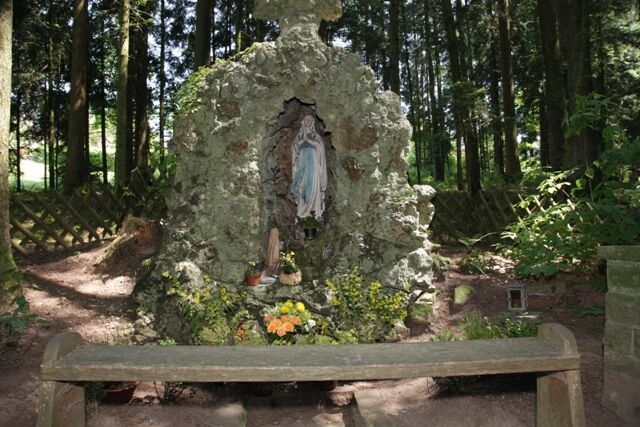
In Aichhalden the Mariengrotto invites you to pause for a moment before we begin the descent to Schramberg after Paradiesberg.
Schramberg emerged as a result of the settlement of the eastern Black Forest by the monasteries in Alpirsbach and St. Georgen. The town gained worldwide recognition through the Jungans clock factory.


We start in Alpirsbach in front of the town hall at the waypoint Alpirsbach/Löwen Post, cross the railway tracks and the federal highway and walk down the Marktstraße. Continue over the Kinzig bridge, then turn right into Gutleutweg. At the waypoint Rötenbach / Oberer Weg keep left and walk along the left side of the federal highway towards Friedhofweg. Turn left at house number 135 and continue on the pedestrian path. At the waypoint Rötenbach Friedhofweg we cross the street and go past the cemetery chapel steeply uphill. At the waypoint Adelsberg (viewpoint) we turn right onto a meadow path and continue via the waypoint Müllerswald to the waypoint Holzebene, passing stately farms.
There turn left towards the Naturfreundehaus (open on weekends) and continue via the waypoint Brandsteig to the waypoint Brandsteig Schänzle. There we turn right and after a few meters reach on the left in the forest the remains of the Roman control station. From there, it goes straight ahead via the waypoint Neuhaus to the waypoint Zollhaus (nice view), then left on a narrow forest path uphill towards Aichhalden. Passing boundary stones marking the old border between Baden and Württemberg, we reach the town center via the waypoints Breitreute, Aichhalden/Alter (viewpoint) and Aichhalden im Dörfle at the waypoint Aichhalden Rathaus. Turn right at the church and continue via the waypoints Aichhalden Auf der Angst, Wanne Riesen, Waldeslust (possibility to stop for refreshments on weekends).
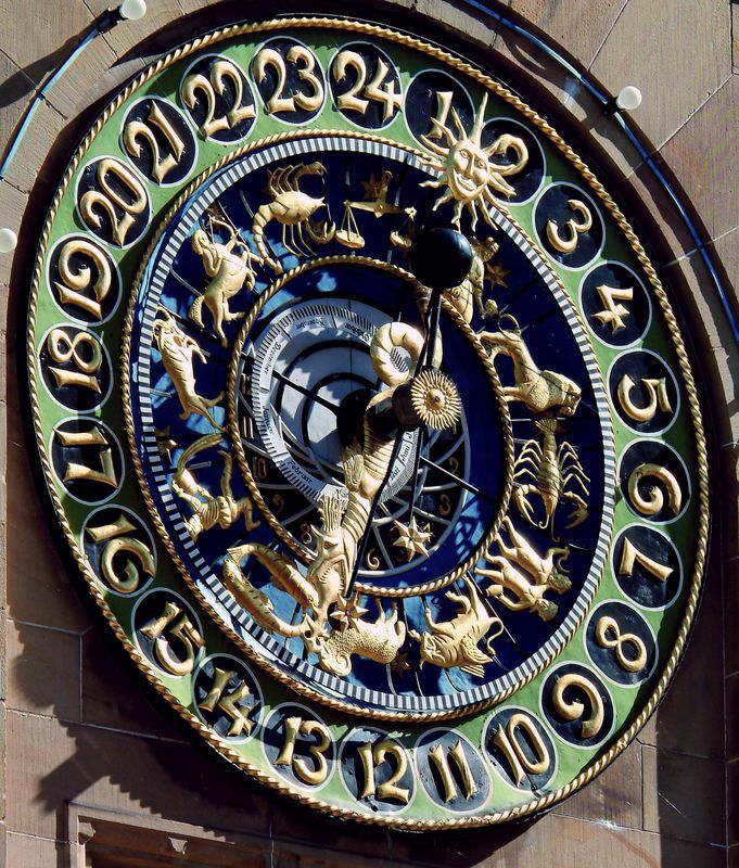
From the waypoint Paradiesberg continue straight towards Schramberg Talstadt. Now downhill, we reach via the waypoint Am Waldfriedhof a staircase that leads us further downhill to the waypoint Schramberg/Paradiesplatz. Through the Hauptstraße (pedestrian zone) we reach the town hall of Schramberg, the stage's destination. Worth seeing there is the astronomical clock, which, in addition to the time indication, offers a variety of astronomical phenomena such as moon phases or sunrise and sunset times.
(Source: Schwarzwaldverein e.V.)
Sturdy and well-broken-in footwear, provisions, map material
Alpirsbach is accessible via the B294 from Freudenstadt or from Offenburg.
Alpirsbach is connected to the Deutsche Bahn network via the Ortenau-S-Bahn.
Schramberg is accessible by bus from Schiltach (Ortenau-S-Bahn stop).
Parking spaces are available in the vicinity of the Alpirsbach train station.
Black Forest Tourism GmbH
Competence Center Tourism
Wiesentalstraße 5
79115 Freiburg
Phone +49 761 896460
A visit to the clock museum in Schramberg is highly recommended. Here you can immerse yourself in early and modern times and explore them.
Popularne wycieczki w okolicy
-
4,6
Bad Rippoldsau - Cafe & Restaurant Zum Schlüssel - Klösterle - Burgbachwasserfall
średniWędrówka 11,2 km -
4,8
AugenBlick-Runde Lauterbach Güntersberg
światłoWędrówka 10,2 km -
3,0
Lauterbach High Valley Circuit in the hiking paradise Alb - Black Forest
światłoWędrówka 10,7 km -
5,0
Wolfach settlers' loop large round
średniWędrówka 9,04 km -
5,0
Schiltach: Schenkenburg - Kaibach - Circular route
średniWędrówka 12,3 km -
5,0
Premiumweg Wolfacher Schlossblick
średniWędrówka 7,12 km -
5,0
AugenBlick Route Schramberg-Tennenbronn
średniWędrówka 9,11 km -
4,5
Kirnbacher-Bollenhut-Talwegle - Winterberg path
średniWędrówka 9,56 km -
4,0
Flößerpfad Kinzigtal
średniTrasa tematyczna 33,6 km -
High above the Berneck valley
ciężkiWędrówka 13,0 km
Wędrówki i tropienie


Nie przegap ofert i inspiracji na następne wakacje
Twój adres e-mail została dodana do listy mailingowej.