







3-Mill Trail
Poziom trudności: T1
Adelberg is nestled in the heart of the Schurwald, on the border between the districts of Göppingen and Rems-Murr. Thanks to its diverse range of tourist attractions and stunning natural surroundings,...
Adelberg Abbey, once one of the wealthiest abbeys in Württemberg, was founded by the Premonstratensians during the time of Barbarossa. At its peak before the Reformation, the monastery’s territory encompassed ten villages, 19 hamlets, 37 farms, 22 mills, and an astonishing 17 parish churches. Today, the monastery exudes an idyllic tranquility and is a magnet for those seeking peace and quiet. The walled monastery grounds are home to numerous historic buildings, including the late-Gothic St. Ulrich Chapel with its ancient frescoes and the original high altar from the Ulm School.
Adelberg Municipality
Vordere Hauptstraße 2 | 73099 Adelberg
Tel. 07166/ 910110 | gemeinde@adelberg.de | www.adelberg.de

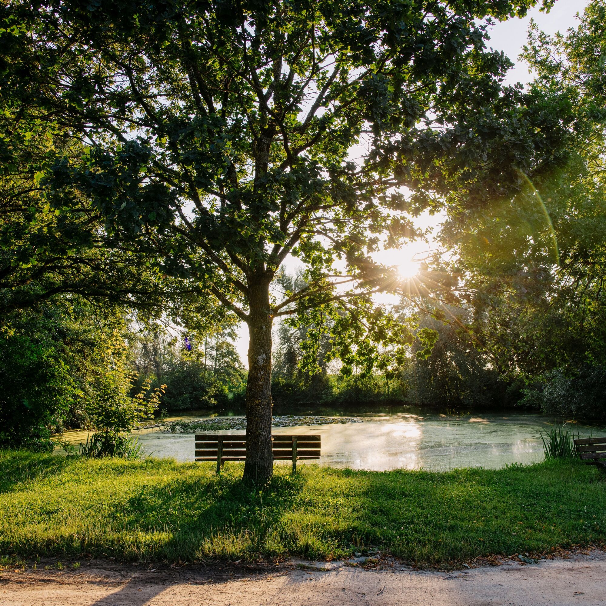
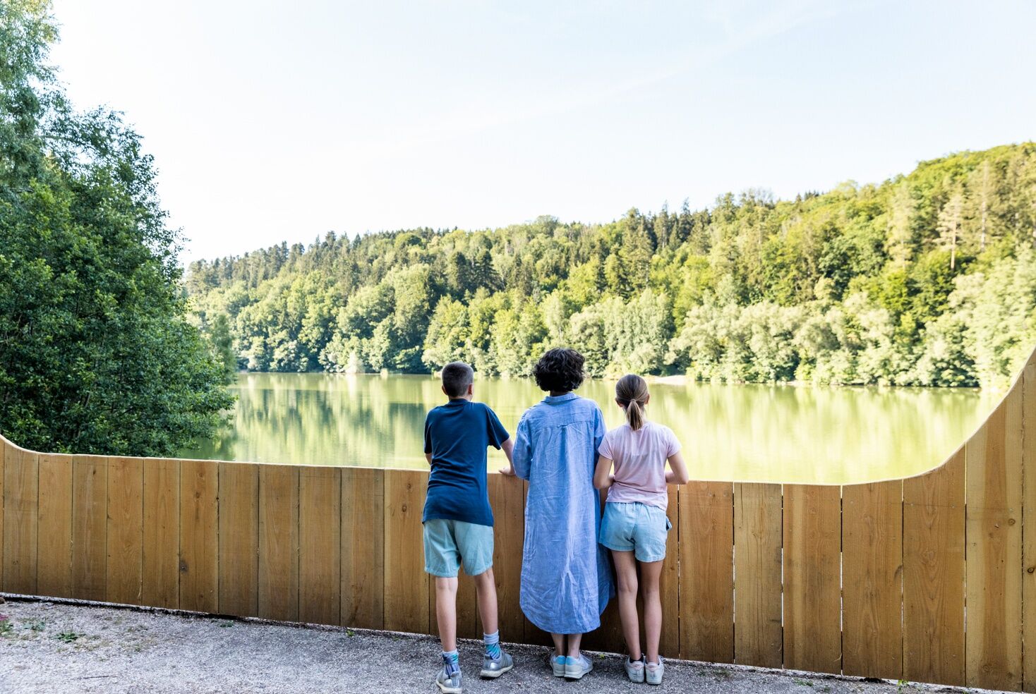
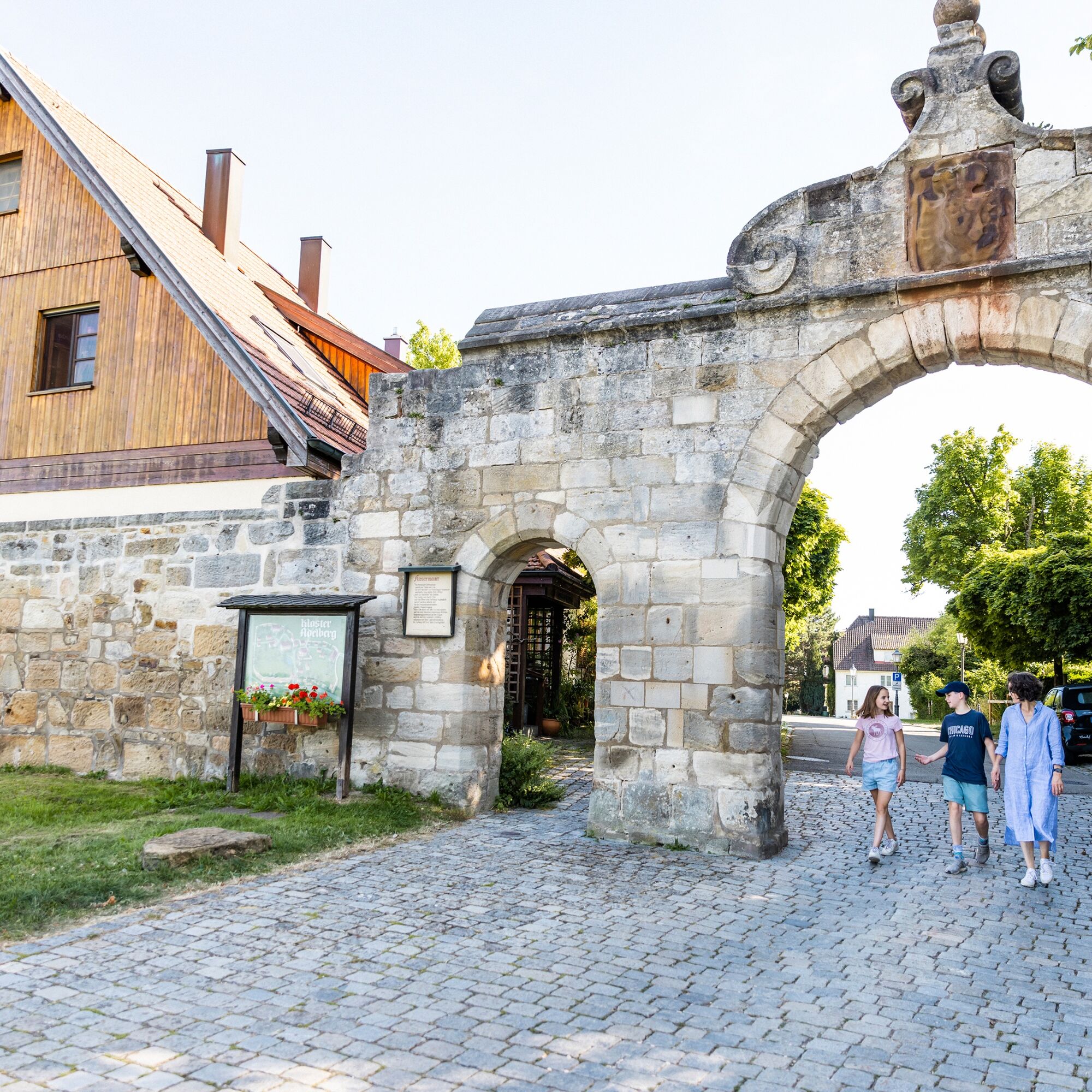
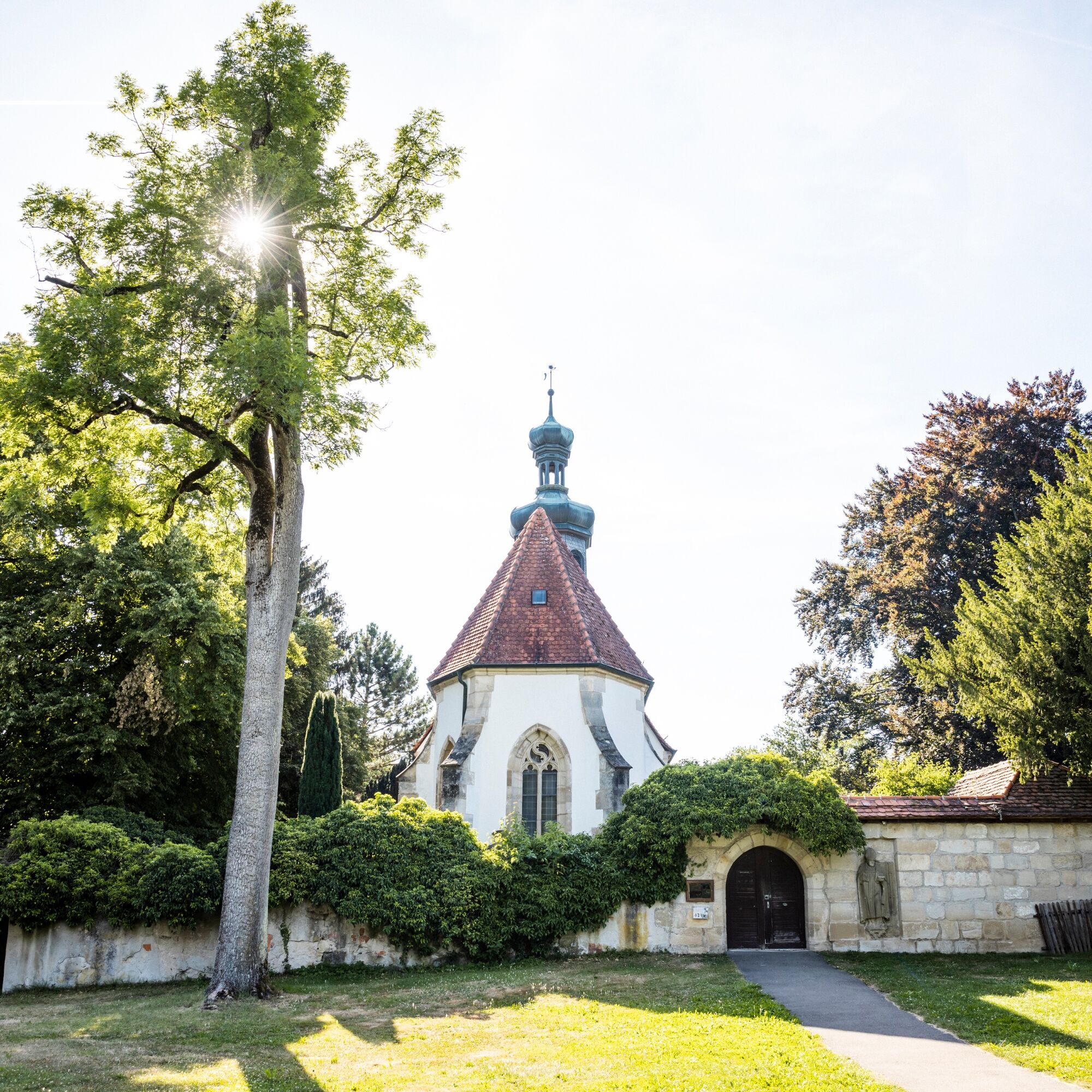
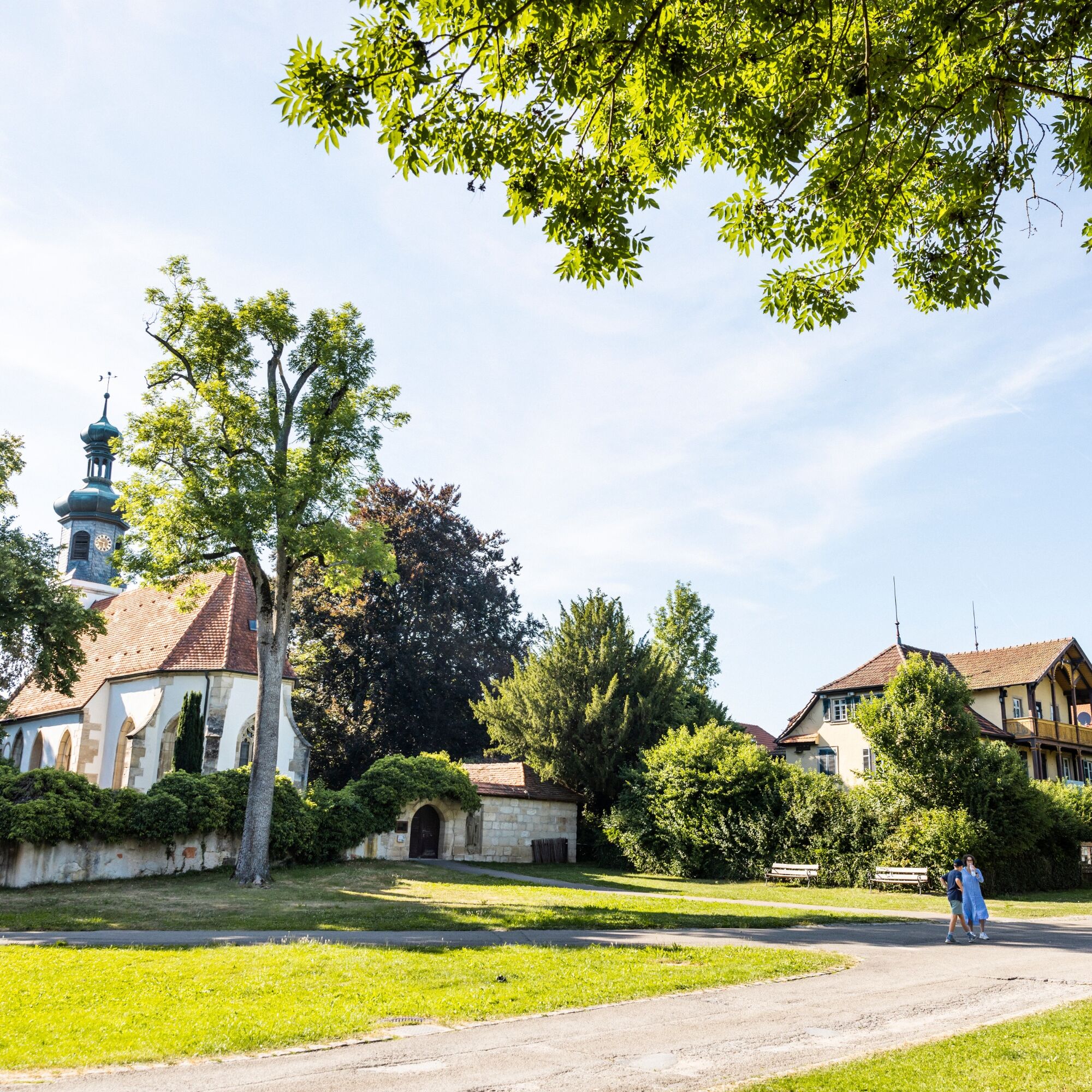
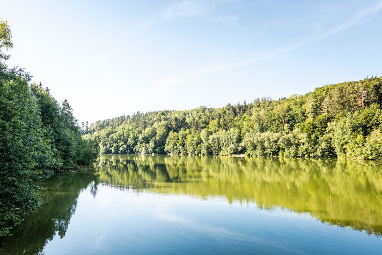
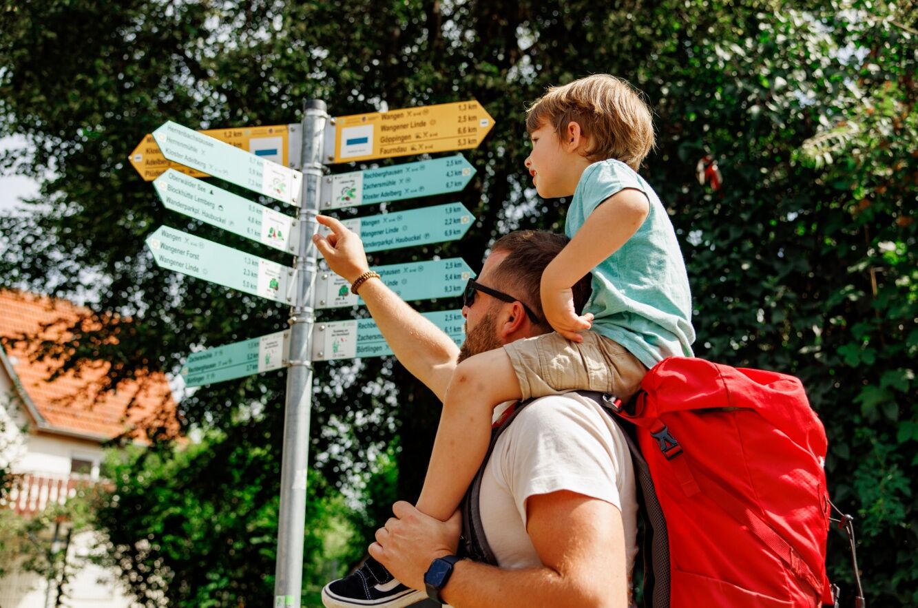
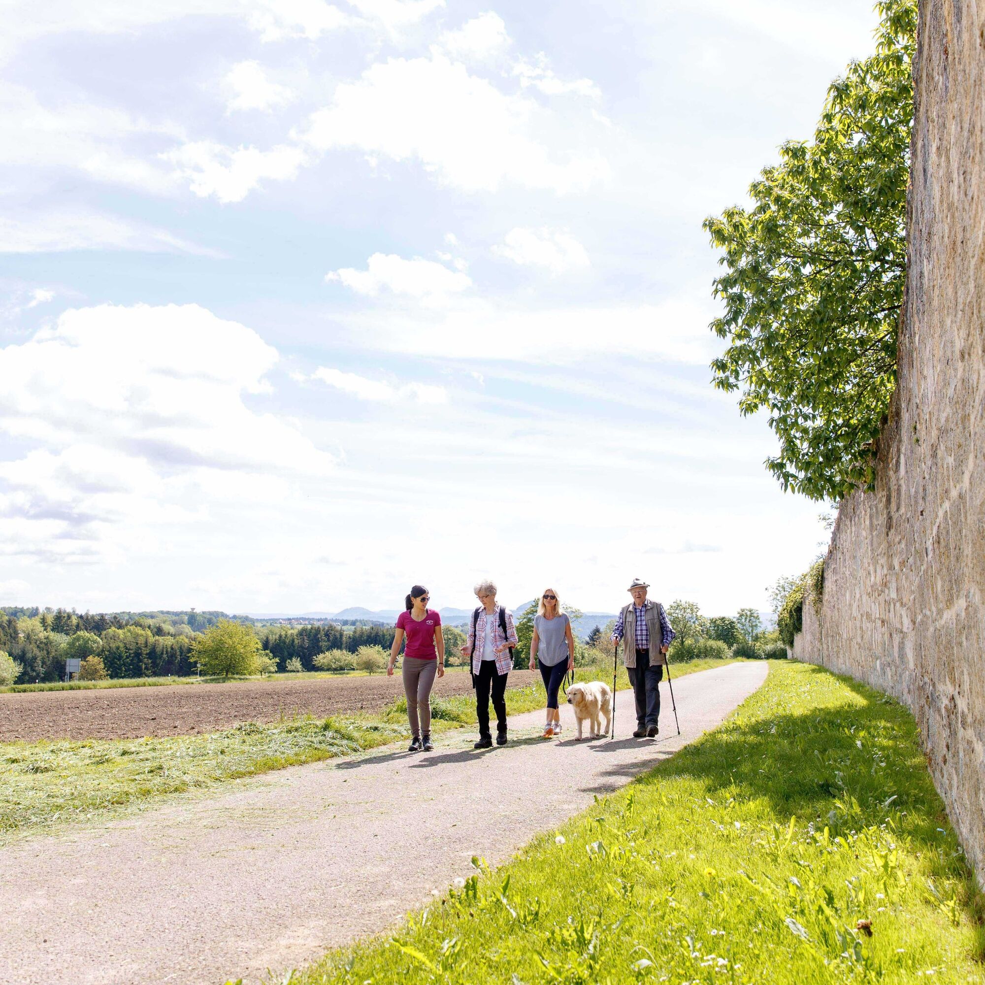
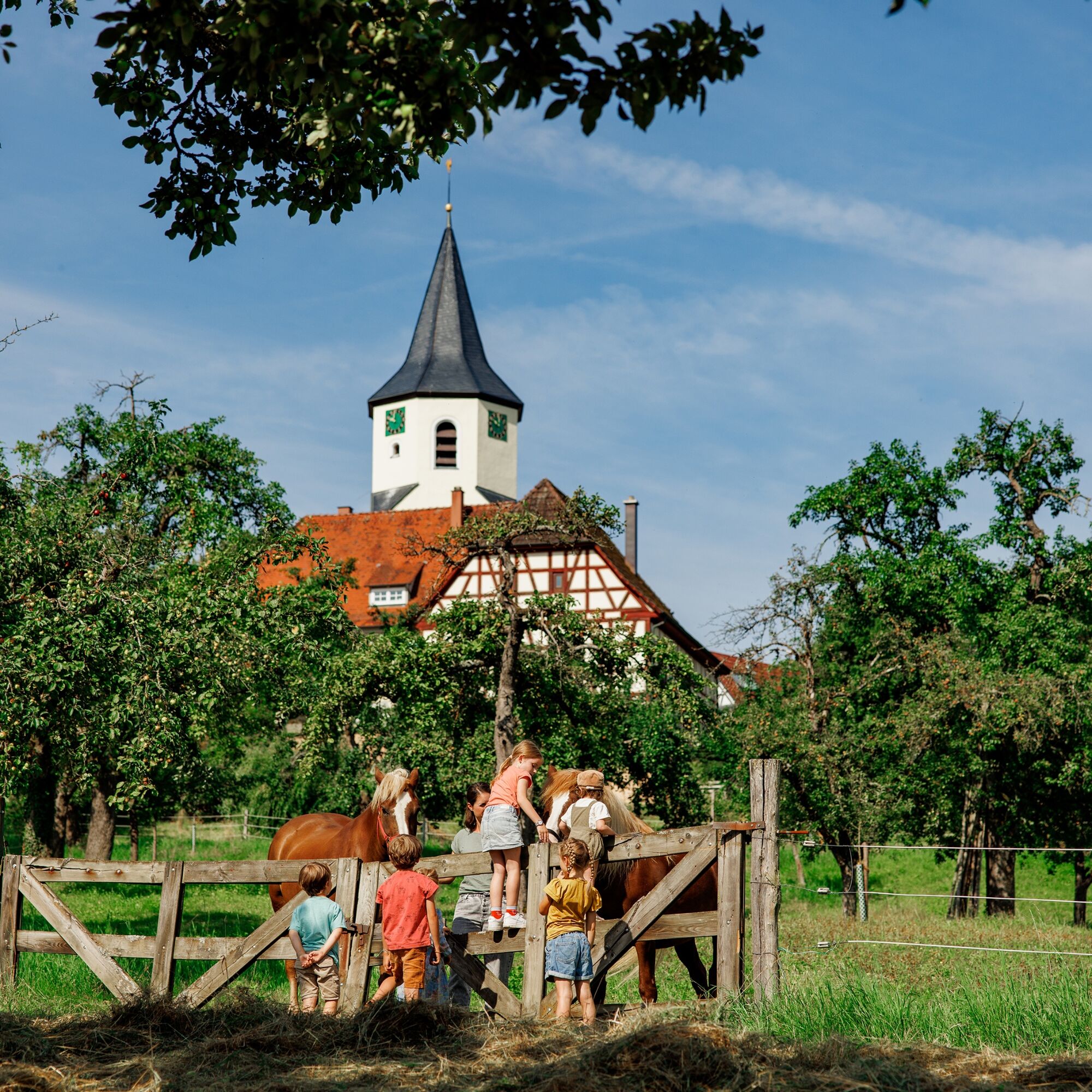
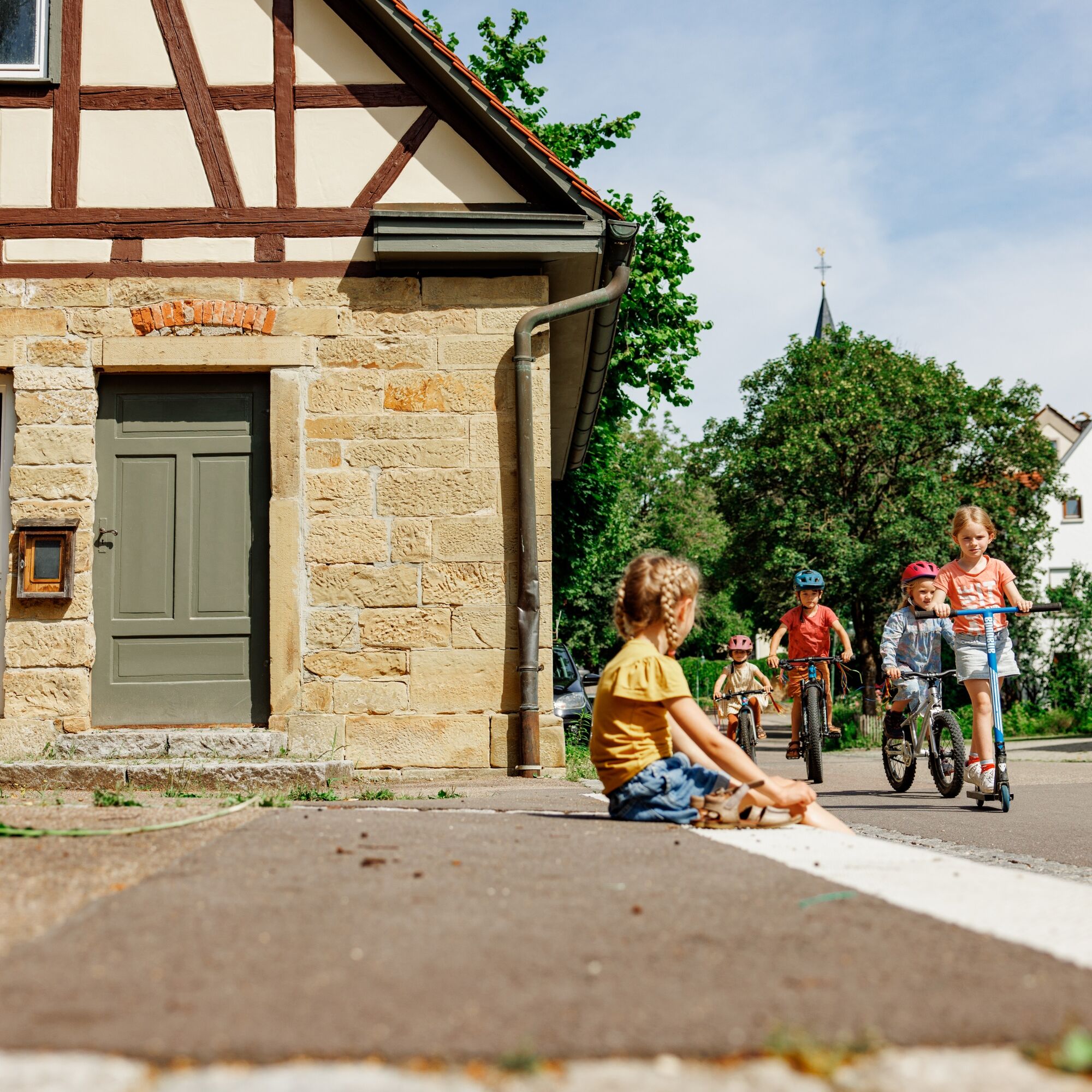

The hike begins in the center of Oberwälden and first leads to Rechberghausen, then on to the idyllic Zachersmühle—a country restaurant in the woods with a beer garden, playground, and a variety of cultural events. The trail along the lake leads to the Mittelmühle, where Christmas trees have been grown for the region for over 45 years. Passing the Ulrich Chapel, you’ll reach the impressive Adelberg Monastery complex, which invites you to linger with its medicinal herb garden, the monastery villa, and an inviting Italian restaurant. The descent leads to the Herrenbach Reservoir, a picturesque retention basin from the 1970s that, thanks to its location in the Herrenbach Valley, has become an important local recreational area in the Schurwald. Although swimming is officially prohibited, the Gasthof Herrenmühle in the valley offers an ideal spot for a relaxing break. The trail winds its way through the forest back to Oberwälden, thus completing the loop.
This list is designed for a short loop hike. For longer or more challenging hikes, you should expand your gear accordingly.
Forest and nature trails may have slippery spots, especially after rain. Sturdy footwear is recommended. Stay on the marked trails and be considerate of other visitors and the natural environment.
Coming from the A8, take the Aichelberg exit and drive through Zell unter Aichelberg and Schlierbach to Adelberg.
You can find the district bus schedule at: www.vvs.de/fahrplan
In Oberwälden or at the monastery parking lot in Adelberg.
T1
Code of Conduct:
Respect trail closures and the quiet zones established in the recreational trail plan. Leave no trace—such as trash or animal droppings—and treat the trails with care. Be proactive and considerate. Adapt your behavior to the situation at hand. Safety comes first. Respect other users of the woods and open fields. Be considerate of animals and plants. Plan ahead and make the most of daylight. Try to avoid the morning and evening twilight hours. Observe the ban on entering agricultural land during the growing season. Stay on marked trails and avoid forest edges; this helps wildlife get used to people.For more information, visit ruecksicht-macht-wege-breiter.de
Adelberg is home to the 12th-century monastery of the same name. Late Gothic works of art make the monastery chapel a gem of ecclesiastical history. The monastery’s most famous student was Johannes Kepler, who attended school in Adelberg before studying theology.
On a 3-kilometer route around the Herrenbach Reservoir, you can explore the forest in a playful way and engage all your senses. The trail is divided into three themed areas with twelve stations.
Popularne wycieczki w okolicy
-
4,9
Lion Trail "Staufer Loop" — Following in Barbarossa's Footsteps Against a Dreamlike Backdrop
średniWędrówka 11,3 km -
4,5
Löwenpfad "Schloss-Filseck Loop" — Castle Tales and Lake Dreams
światłoWędrówka 3,97 km -
5,0
Löwenpfad "Spielburg Loop" - Around Mount Hohenstaufen
światłoWędrówka 3,53 km -
Mills & Lakes Route Adelberg
światłoWędrówka 9,56 km -
Hohenstaufen Castle Loop Trail
średniWędrówka 12,9 km -
Kaiser Barbarossa circular route
średniWędrówka 13,6 km -
Bärentobel Loop
średniWędrówka 6,37 km -
5,0
Around the Öschle
średniWędrówka 7,78 km -
4,0
Castle Tour Loop Trail
średniWędrówka 13,3 km -
5,0
Wild Boar Trail
średniWędrówka 10,1 km
Wędrówki i tropienie


Nie przegap ofert i inspiracji na następne wakacje
Twój adres e-mail została dodana do listy mailingowej.





