


AugenBlick-Runde Sasbachwalden-Hörchenberg
Poziom trudności: T1

The start of the circular hiking trail is at the Kurhaus "Zum Alde Gott"
Walk towards the upper spa park
Above the swimming pool, turn left towards "Am Hohacker"
After about 200 m, you reach a road junction, there keep right
At the large intersection with an island, keep right and turn towards "Murberg"
The path continues uphill, past the Gaishöllpark residential and holiday complex.
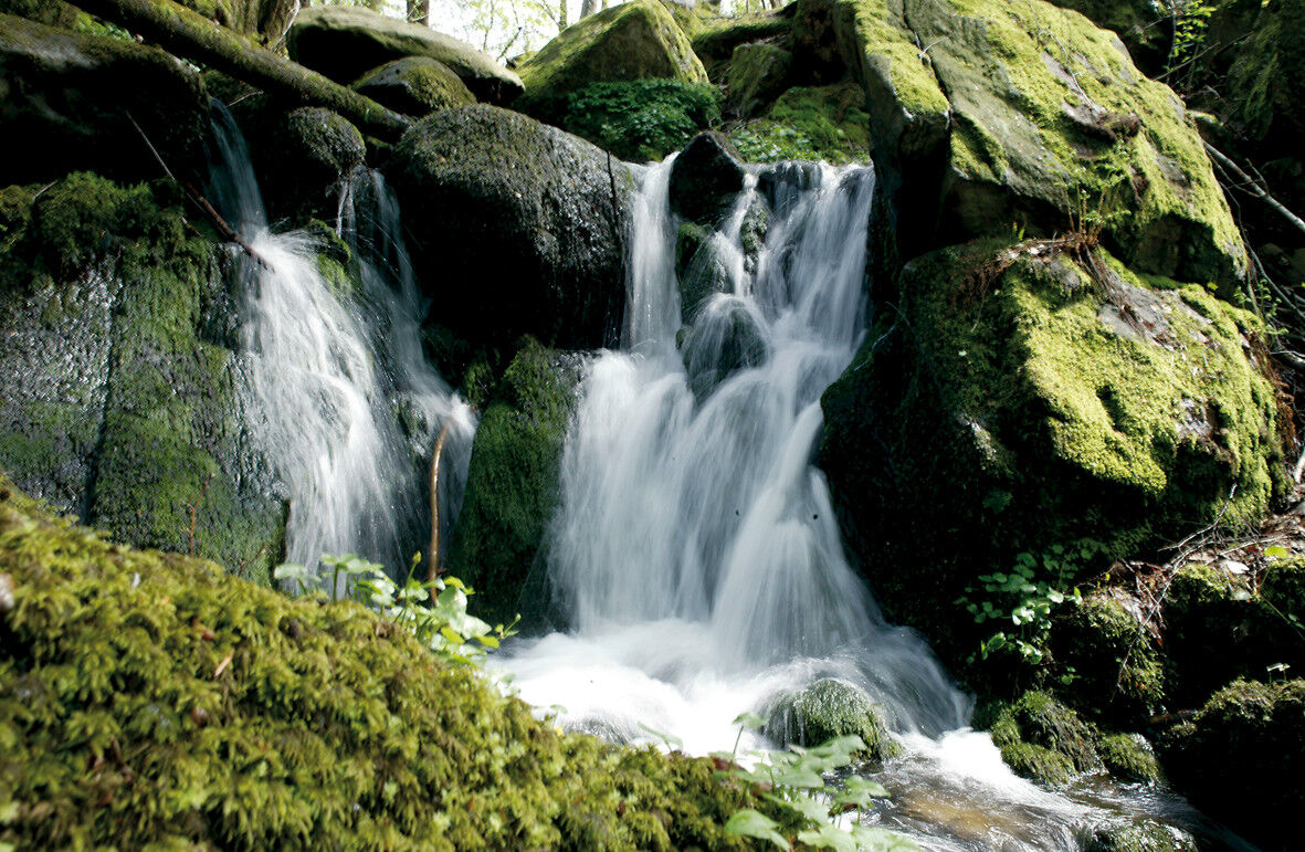
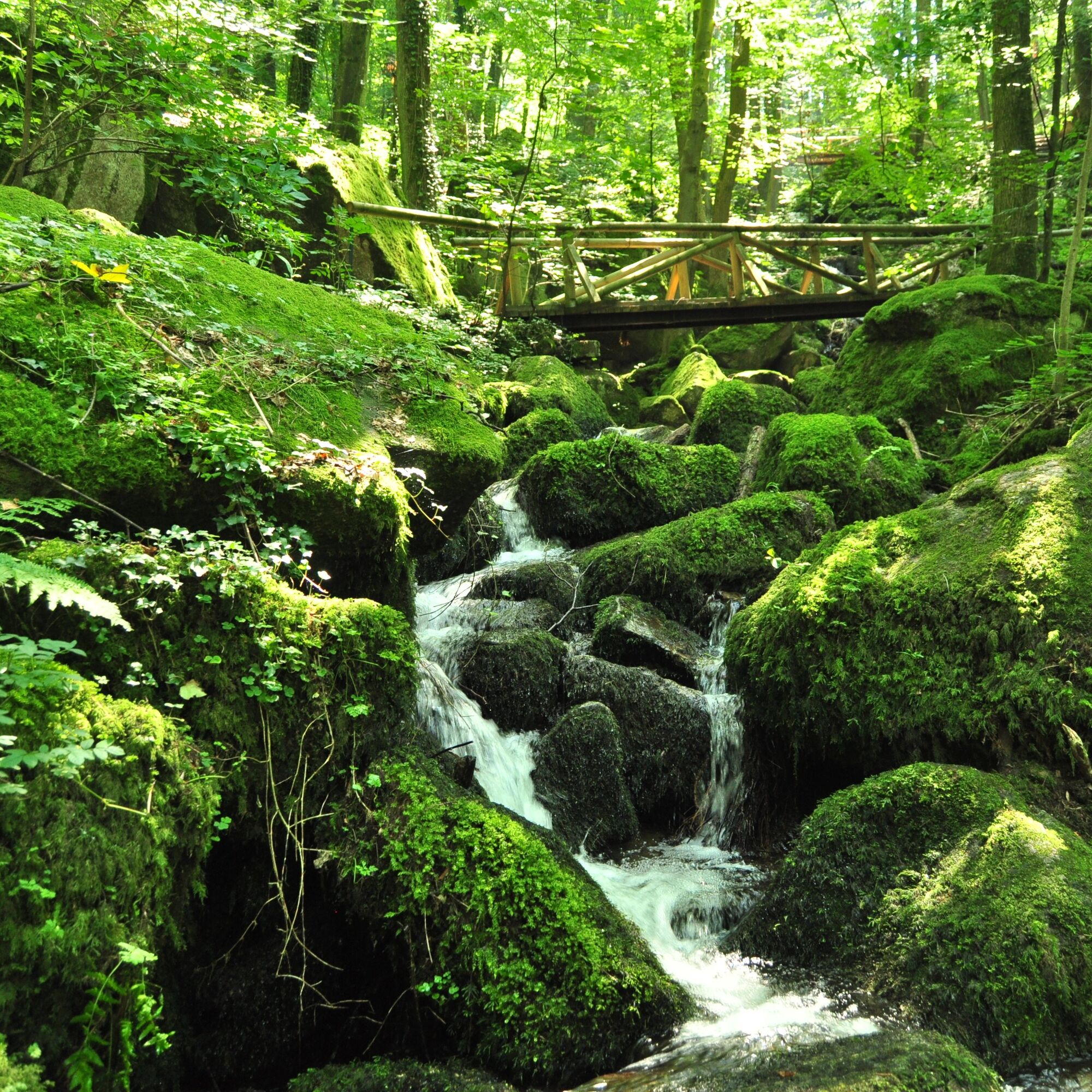
Then, in a left curve, you reach the entrance to the Gaishöll waterfalls.
This path leads through a gorge over 13 bridges and 225 steps and ends at the upper exit on Bergstraße (nearby dining options Gasthaus Bischenberg, Wilderer Stube, Hotel Restaurant Im Spinnerhof)
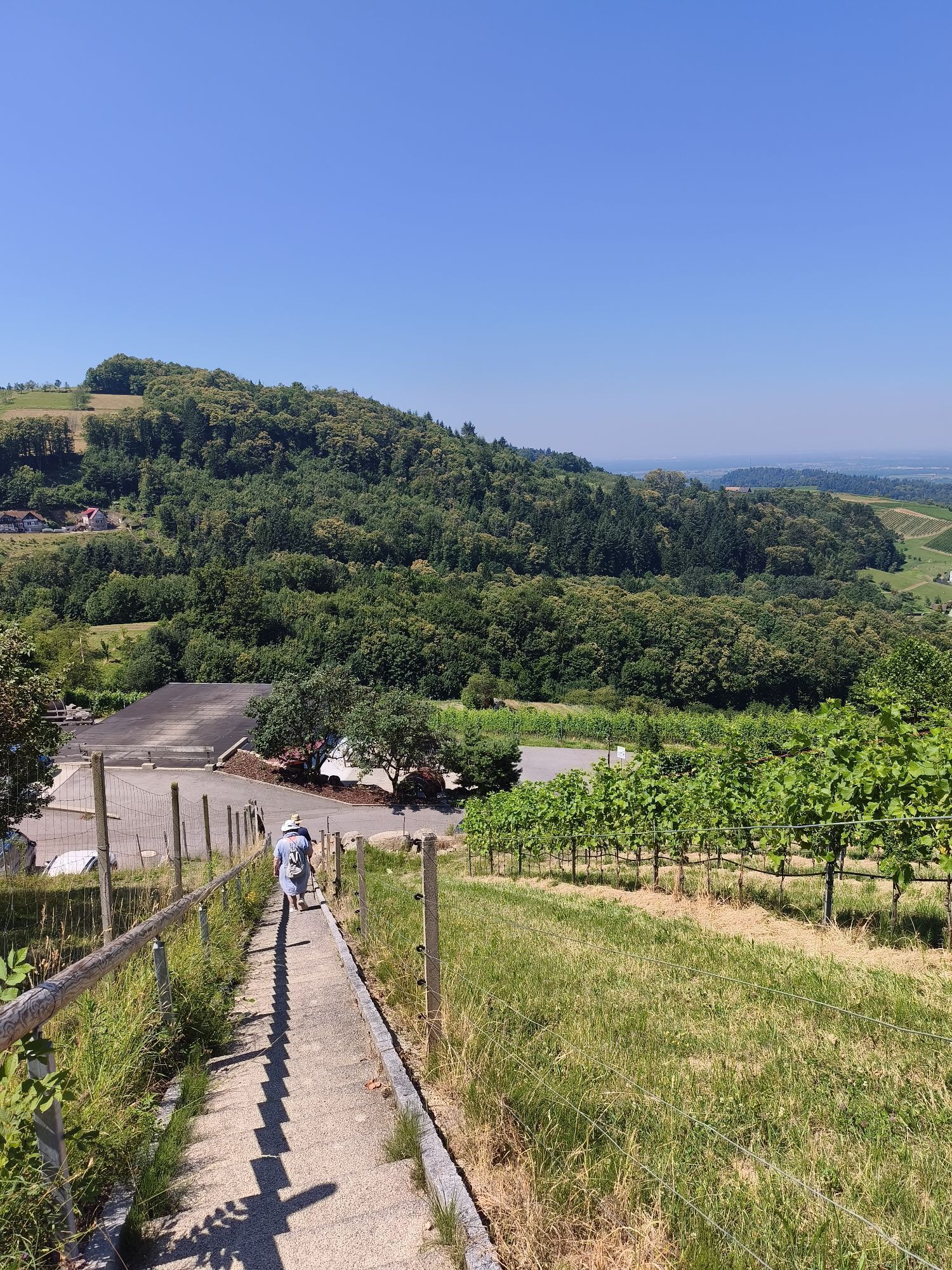
Once at the top, turn right and follow the road down towards the valley.
After the next slight left curve, which also has a wayside cross with a bench, you can leave the road and walk on a meadow path parallel to the road.
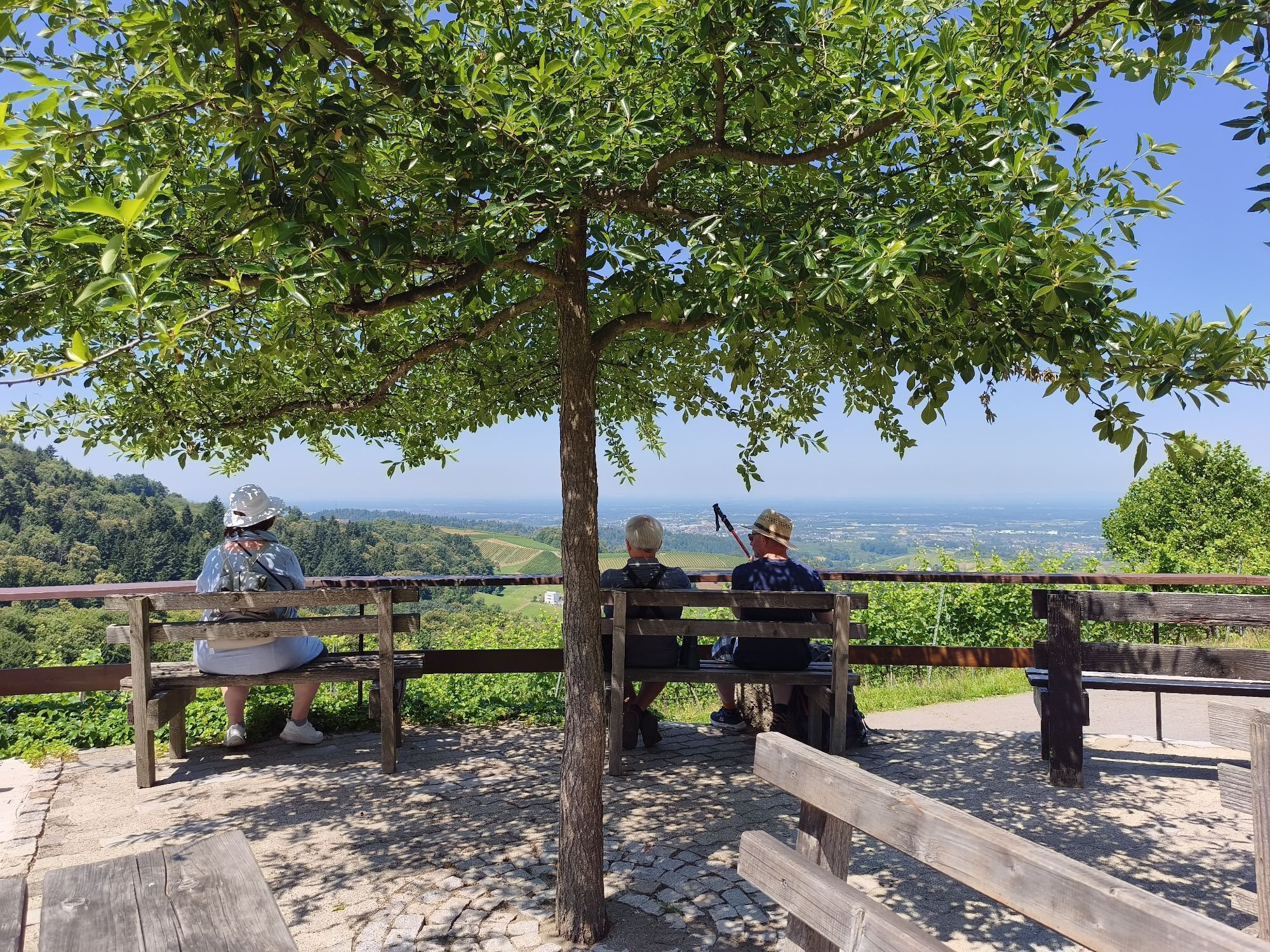
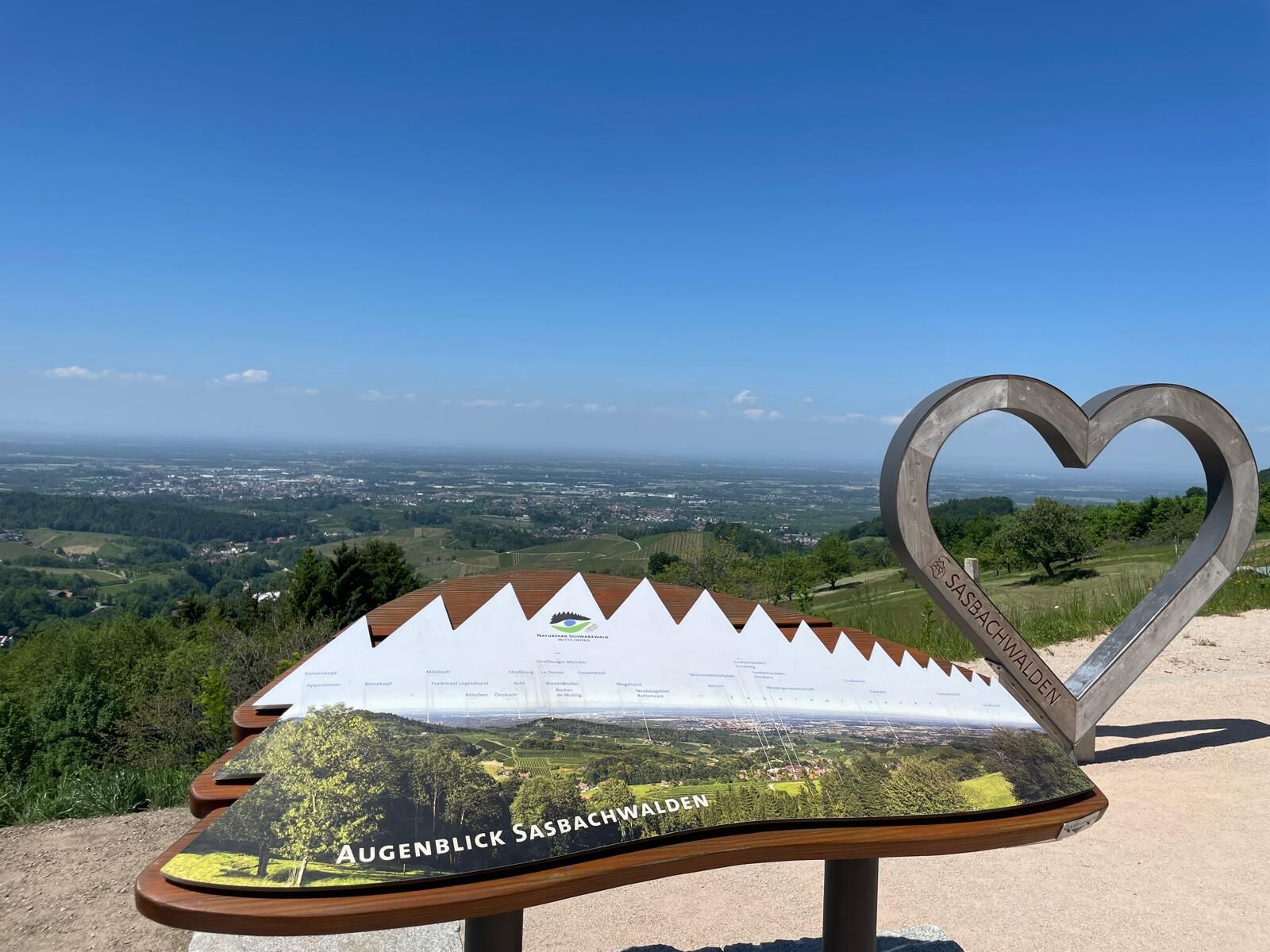
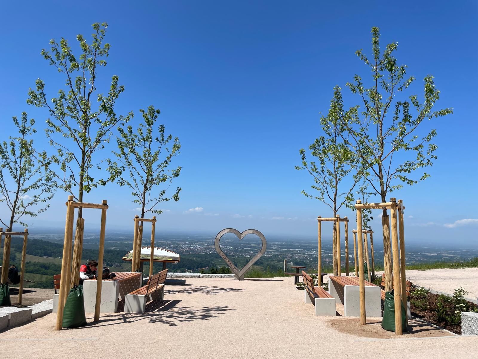
After the left curve, you reach the Augenblick viewpoint, a spot to relax - don't forget to sign the guestbook!
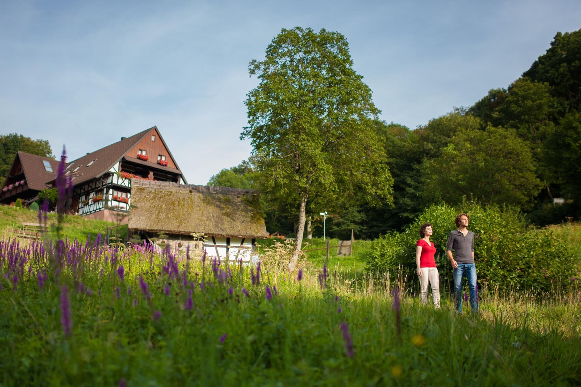
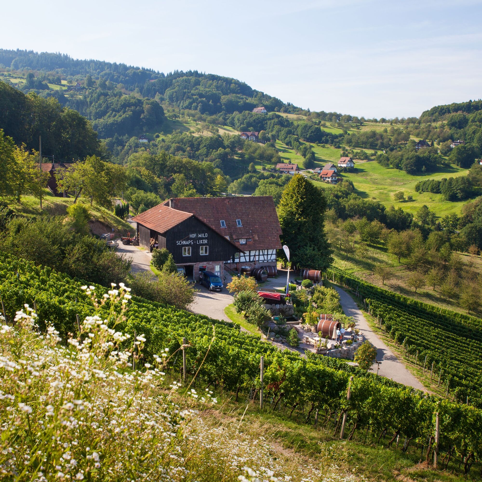
Then the path descends into a small wood to Hof Wild (sleeping in a wine barrel). Here you will find a schnapps fountain.
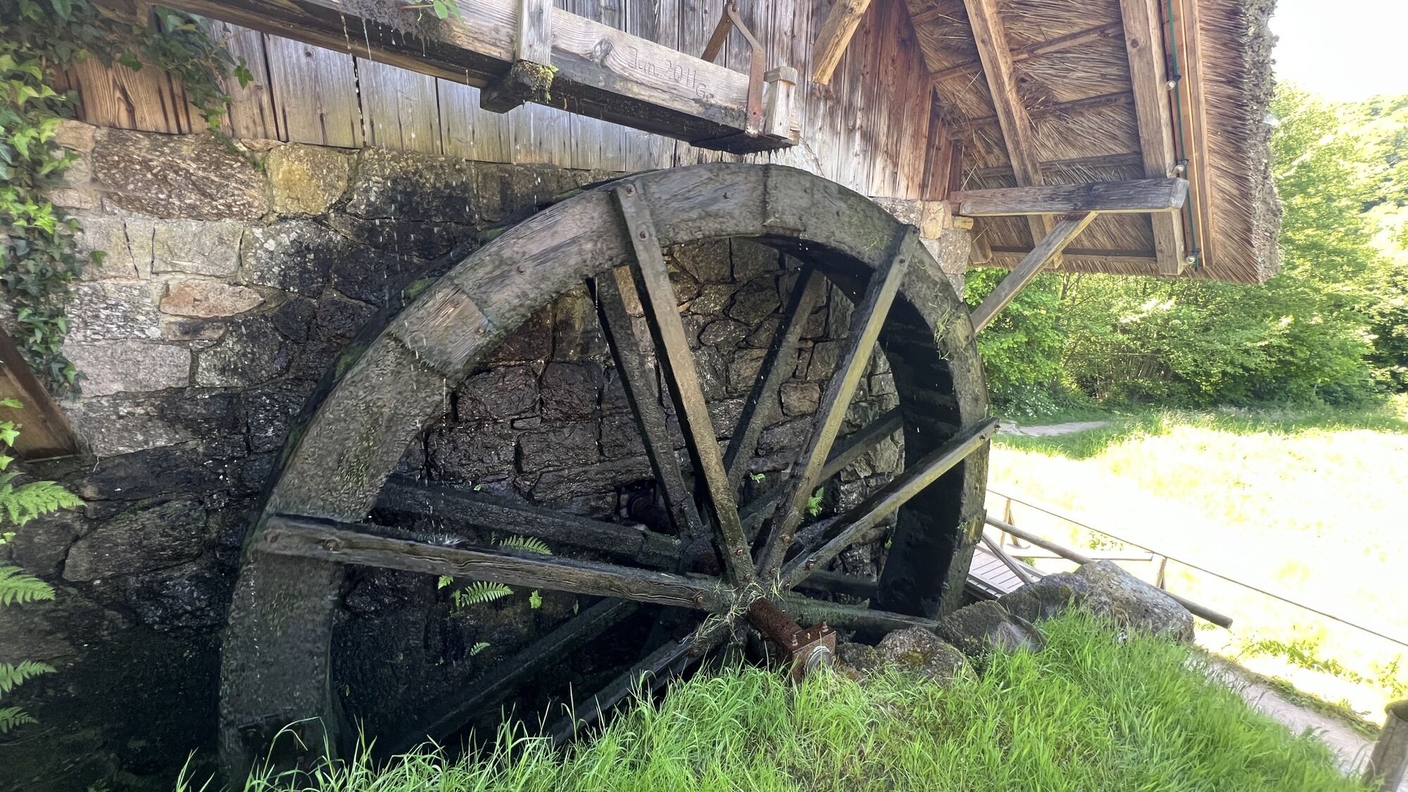
The path continues downhill to the historic Straubenhof mill.
From there, we walk along the mill path along the "Wilder Sasbach" back to the village center towards the mini golf course.
After the first house on the right, turn right and pass the mini golf course.
Now you reach the large swimming pool parking lot again and return to the starting point, the Kurhaus "Zum Alde Gott".
Tak
sturdy footwear and weatherproof clothing
Coming from the motorway (A5), take the Achern exit and follow the L86 towards Schwarzwaldhochstraße. After about 10 minutes, you will reach Sasbachwalden.
Bus line 400 from Achern station, exit for start and end of the path Stop: Gaishöll/Sparkasse.
Large outdoor pool parking lot (Talstraße 52)
T1
More information about other Naturpark Augenblickrunden can be found here: https://www.naturpark-augenblicke.de/
Two schnapps fountains are located directly on the route. Noble spirits stand in the fresh spring water. For a small fee, anyone can help themselves.
Popularne wycieczki w okolicy
- 5,0
Ottenhöfen - Eichkopf - Karlsruher Grat
średniWędrówka 13,7 km - 3,9
Schnapsbrunnenweg 2
średniWędrówka 12,8 km - 5,0
Bannwald-Tour
Wędrówka 13,3 km - 4,5
Schnapsbrunnenweg 1
światłoWędrówka 7,45 km - 4,8
Ottenhöfen - Mühlenweg
średniWędrówka 13,4 km - 4,5
Lautenbacher Hexensteig
ciężkiWędrówka 15,3 km - 4,0
Gertelbacher Wasserfälle
ciężkiWędrówka 18 km - 4,7
Oberkircher Brennersteig
średniWędrówka 13,8 km Hundseck - Hochkopf - Hornisgrinde Bühlertal, Baden-Württemberg
światłoWędrówka 15,5 km- 4,6
Seibelseckle Tour
średniWędrówka 8,78 km
Wędrówki i tropienie


Nie przegap ofert i inspiracji na następne wakacje
Twój adres e-mail została dodana do listy mailingowej.