


Trekking Oppenau - Camp Erdbeerloch


The path runs for large parts along the river up to the waterfalls. Along the path you will find benches and cozy places to stop for refreshments.

The hike starts at Oppenau train station. It goes in the direction of the city park to the Lierbachtal path (follow the yellow diamond). Along the river until the sign "Swimming pool", there cross the street and follow the hiking path along Allerheiligen street to the sign "Allerheiligen".
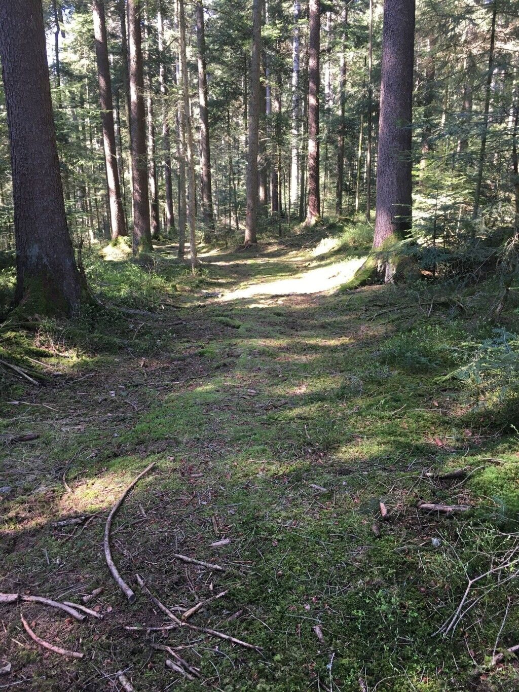
The path turns into a narrow trail, passing the Ziegenalp and the leisure home Taube, stairs up to the right towards the parking lot. The trail runs along the street; on the right, it crosses a bridge to Mühleloch and the inn Blume.
The path continues along the Lierbach to Maierhof and Haus Wasserfall. Through the Windschlägwald area you reach the lower waterfall parking lot.
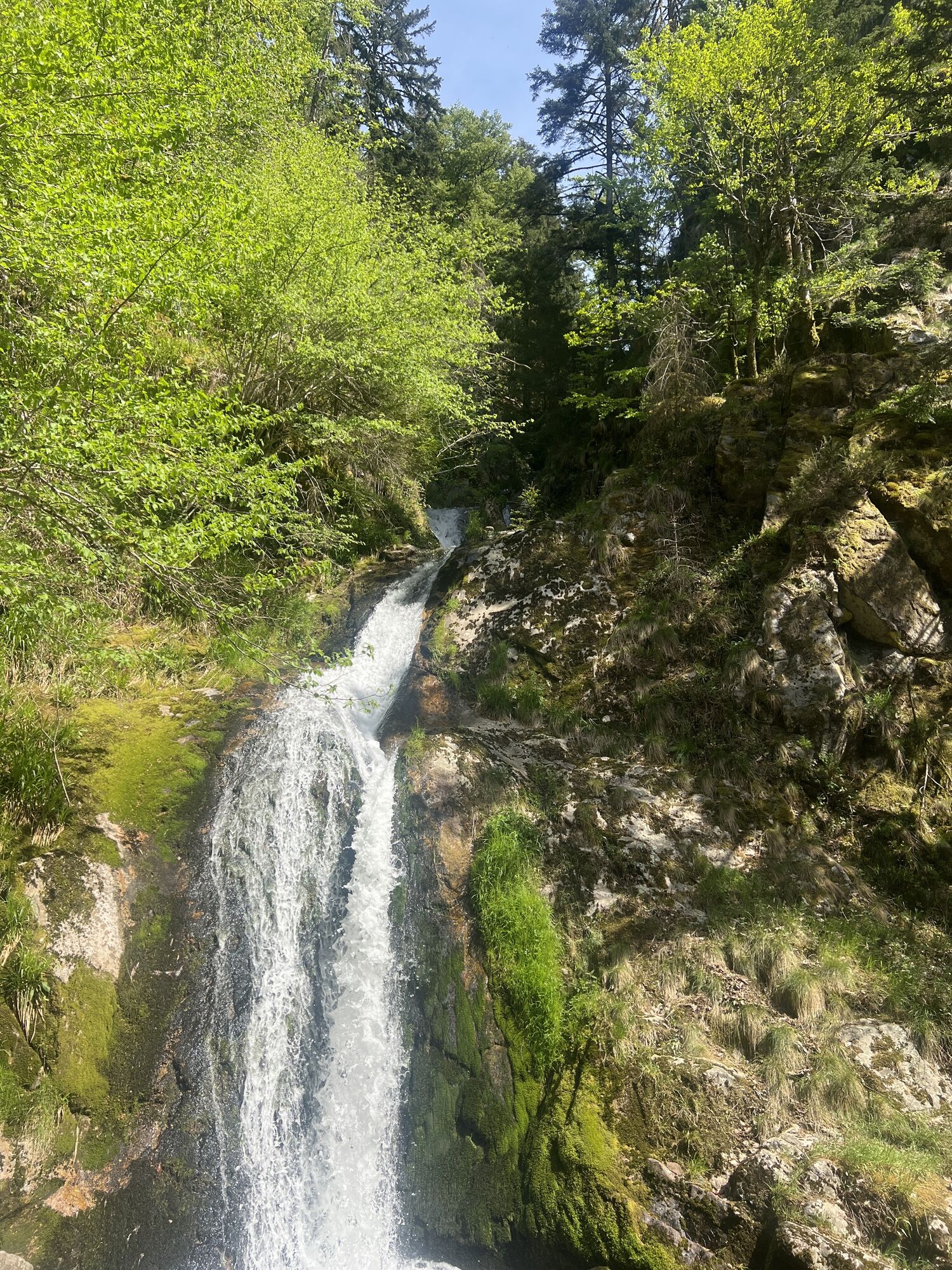
From here, it goes onto the Renchtalsteig (blue-green diamond with the letters "rs") to the Allerheiligen waterfalls.
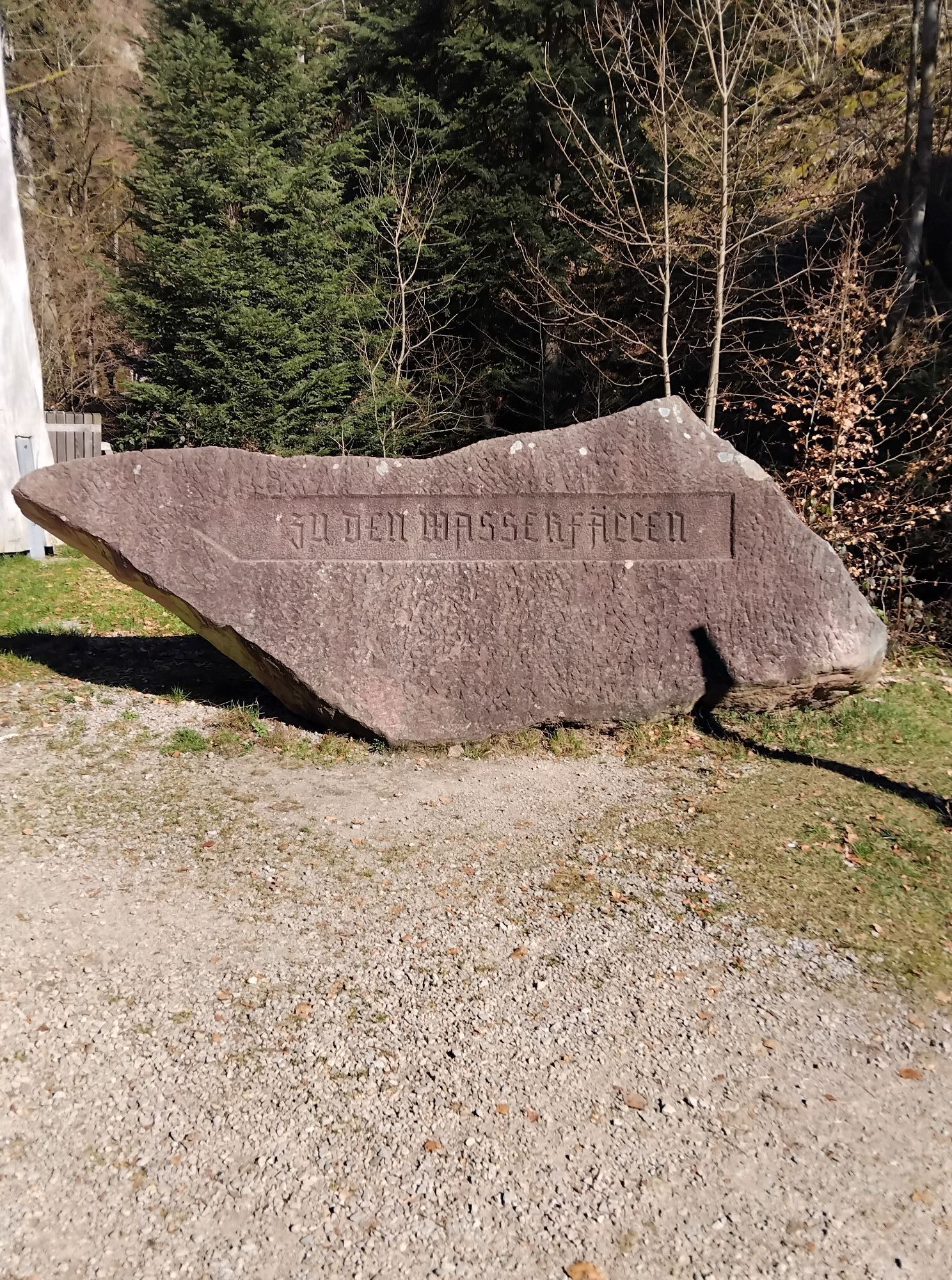
At the upper exit, follow a few more meters along the now again wide promenade to the Schwarzwaldverein memorial, a little further you reach the grounds of the former Allerheiligen monastery.
Here you leave the Renchtalsteig and continue following the path along the Lierbach, cross the K5370 to the left and immediately turn right onto a nature path.
(The exact directions to the camp will be given with the booking confirmation.)
Tak
For a trekking route in the Black Forest, you usually don't need extensive expedition equipment. However, you should be well prepared and carry the essentials. Therefore, we have put together a few equipment tips.
Hiking maps
The Black Forest has an extensive and very well-marked network of trails. Our route suggestions mainly lead over narrow paths that do not always connect the camps directly. We therefore recommend carrying a suitable hiking map that shows other sights, roads, and other important points. You can find a selection of suitable hiking maps in our Nature Park shop.
GPS
With the booking confirmation, you will receive a detailed route description for the respective camp. In addition, each location provides the GPS coordinates (UTM WGS 84). For safety reasons, we therefore recommend a GPS device. Especially in the summer months, with dense underbrush, it can sometimes be difficult to find the camp at first attempt.
Booking confirmation
Upon booking, you will receive an invoice, the terms and conditions, and the booking confirmation by email. The booking confirmation also includes the directions for the last mile and the access code for the toilet hut. The booking confirmation must be shown upon request to the caretaker of the respective site as well as to foresters' staff.
Water
There is no water connection at the camps! The surrounding streams do not provide drinking water or are often dry in the summer months. So bring enough water and always stock up on the way. Better a few liters too many! Also remember water for cooking and washing. 4-5 liters per person per day should be carried!
Other items
The following should also not be missing from the backpack:
Clothing: rain jacket, sweater, and sturdy footwear Sleeping: tent, sleeping mat, sleeping bag Washing: toothbrush, toothpaste, soap, towel, etc. Provisions: water container, thermos, cutlery, pocket knife, pot, etc. Health: first aid kit, personal medication, sunscreen, insect repellent, etc. Toilet paper Garbage bags Mobile phone ID card If needed: camping stove, can opener, tealight, rope, cord, flashlight, etc.The trekking camps are located away from towns and can only be reached on foot. In the surroundings, you usually find nothing – except wild nature. To ensure nothing goes wrong on this adventure and the trekking route becomes a safe pleasure, the most important safety rules should be observed.
Forest fire risk
The main cause of forest fires is careless, negligent behavior in the forest. We therefore ask you to make fires exclusively at the designated fire sites and to observe the instructions in the user regulations. Empty glass bottles should not be thrown away as they can also ignite fires. Current information on forest fire risk can be found at www.dwd.de/waldbrand.
In an emergency, immediately alert the fire brigade: emergency number 112
Storms
Entering the forest involves risks. Falling branches and slippery forest floor are not uncommon. Especially in storms, there is a danger of life-threatening injuries.
Use of the natural camping sites is at your own risk. No liability is assumed for possible damage, especially from falling branches or trees falling in the forest. Every user must, in particular, keep informed about storm warnings.
We recommend not using the natural camping sites during storm warnings!
You can find the current situation and forecasts at http://www.unwetterzentrale.de/uwz/badenwuerttembergindex.html.
In an emergency
To help rescue forces from mountain rescue, fire brigade, or Red Cross find you quickly in an emergency, each camp has an information board on the inside of the toilet hut that names the nearest rescue point. In an emergency, stay calm, provide first aid, and make an emergency call to 112!
Please state the following points:
Where did it happen? (Name of the camp and the nearest rescue point) What happened? (Type and severity of injury) How many injured are there? Who is reporting? (Give names and your mobile number) Wait for follow-up questions!If something should happen to you on the way, it is important to know that all signposts in connection with the elevation have a location name that can be given as a rescue point when making the emergency call. Using an online tool from the Digital Trail Management of the Black Forest Association, control centers can then locate the emergency in inaccessible terrain where road navigation is no longer helpful. https://www.schwarzwaldverein.de/schwarzwald/wanderwege/wegweiser-sind-rettungspunkte
Nearest stops Oppenau:
Oppenau train station: RB20 to Offenburg
Bus line 7137 to Oberkirch
Nearest stops Camp Erdbeerloch:
Allerheiligen bus stop: Bus line 7125 from Oppenau (only on weekends!)
Schliffkopf bus stop: Bus line 100 from/to Freudenstadt
https://www.renchtal-tourism.de/
Especially in rain and wet weather, sturdy footwear and surefootedness are important because the stairs at the waterfall can be slippery.
Especially after heavy rain showers, it is possible that you might get a little wet here.
Kamery internetowe z trasy
Popularne wycieczki w okolicy
-
4,7
Kniebiser Heimatpfad - Wandern mit Genuss
światłoWędrówka 9,07 km -
3,9
Schnapsbrunnenweg 2
średniWędrówka 12,8 km -
5,0
Ottenhöfen - Eichkopf - Karlsruher Grat
średniWędrówka 13,7 km -
4,0
Sankenbachwasserfälle und Glasmännlehütte am Stöckerkopf
średniWędrówka 12,8 km -
5,0
Naturgewalten-Tour
Wędrówka 15,6 km -
5,0
Bannwald-Tour
Wędrówka 13,3 km -
5,0
Schnapsbrunnenweg 1
światłoWędrówka 7,45 km -
5,0
Kniebis-Sankenbachwasserfälle-Sankenbachsee
średniWędrówka 7,98 km -
4,3
Oberhamersbach Vesperweg
średniWędrówka 14,5 km -
4,4
Bad Rippoldsau - Cafe & Restaurant Zum Schlüssel - Klösterle - Burgbachwasserfall
średniWędrówka 11,2 km
Wędrówki i tropienie


Nie przegap ofert i inspiracji na następne wakacje
Twój adres e-mail została dodana do listy mailingowej.