







Trekking Camp Schnaitberg Eck - Camp Späneplatz (Nordic-Meditative Variant)
Forest hike: 100-year-old firs and Douglas firs alternate with low 20-year-old mixed forest, which is allowed to grow largely undisturbed on the former storm damage areas of the Lothar hurricane, which...
Forest hike: 100-year-old firs and Douglas firs alternate with low 20-year-old mixed forest, which is allowed to grow largely undisturbed on the former storm damage areas of the Lothar hurricane, which extensively devastated the tree population on the Mooskopf on December 26, 1999. Moss grows over stone blocks on the left and right of the path, with blueberry bushes and playfully upright foxglove in between.
The path from the Kornebene via the Ramsbacher Holzplatz and the Mooskopf tower to the Späneplatz passes through the area with the greatest devastation.
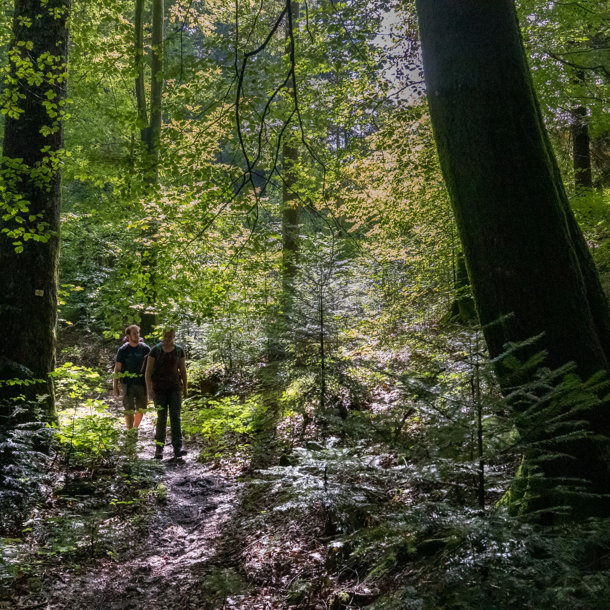

From Landgrabeneck on the Kandel Höhenweg to the Kornebene. Steeply uphill between the nature friends’ house and the small playground to the southeast side of the Mooskopf. Here stands the old tree population that survived the Lothar hurricane of 1999 well. At the "Moosbachwand" signpost there are two viewpoints into the Nordrachtal. The forest already changes. Spruces, birches, and ashes are clearly younger. They stand close as in the wilderness. The Hilseck hut lies beautifully on a small clearing in the upper valley of the Klausenbach. Not far from there are still remains of the former Buchwald farm, one of 34 Nordrach high farms.
At the Ramsbacher Holzplatz, a small crucifix hangs next to the rest area on the old silver fir. It goes leisurely uphill, mostly through young forest on former storm damage areas. From the Geißschleifsattel it is only 200 meters to the Mooskopf tower.
Detour: About 300 meters from the Geißschleifsattel to the impressive Lothar monument. Wonderful view into the Kinzig valley.
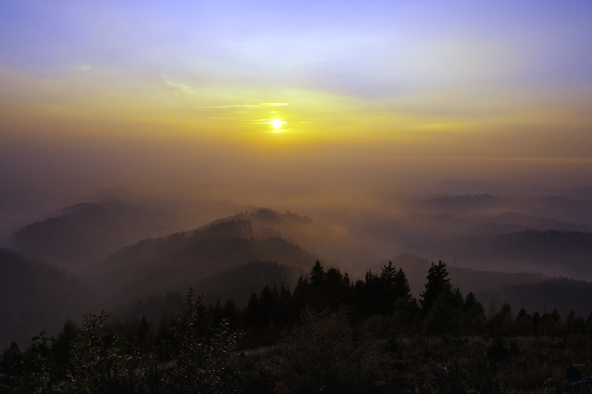
Since December 26, 1999, the Mooskopf tower stands free again. 102 steps lead up: panoramic view over the central Black Forest, from the Hornisgrinde in the north to Brandenkopf and Kandel in the south. In good visibility, the Alps with Säntis can be seen. In the west lies the Rhine valley deep below, behind it rise the Vosges.
From the Mooskopf tower, the stony path leads down through the very Nordic-looking young forest to the Michelsbrunnen and further to the Späneplatz. (The exact directions to Camp Späneplatz will be provided with the booking confirmation.)
For a trekking tour in the Black Forest, you usually don't need extensive expedition equipment. However, you should be well prepared and have the essentials with you. Therefore, we have put together a few equipment tips.
Hiking maps
The Black Forest has an extensive and very well-signposted network of trails. Our tour proposals mainly lead over narrow paths that do not always connect the camps directly. We therefore recommend carrying a suitable hiking map that shows further sights, roads, and other important points. You can find a selection of suitable hiking maps in our Nature Park Shop.
GPS
With the booking confirmation, you will receive a detailed route description to the respective camp. Additionally, each site provides GPS coordinates (UTM WGS 84). For safety, we therefore recommend a GPS device. Especially in the summer months, with dense shrub growth, it can sometimes be difficult to find the camp at first try.
Booking confirmation
After booking, you will receive an invoice/booking confirmation, camp description, and the terms and conditions by mail. The booking confirmation also includes the directions for the last mile and the access code for the toilet cabin. The booking confirmation must be shown on request to the caretaker of the respective site as well as employees of the forestry administration.
Water
There is no water connection at the camps! Also, the surrounding streams do not provide drinking water or are often dried up in the summer months. Therefore, bring enough water and keep replenishing it on the way. Better a few liters too many! Also think of water for cooking and washing. 4-5 liters per person per day should be brought along!
Others
The following should not be missing in the backpack:
Clothing: rain jacket, sweater, and sturdy footwear Sleeping: tent, sleeping mat, sleeping bag Washing: toothbrush, toothpaste, soap, towel, … Provision: water container, thermos flask, cutlery, pocket knife, pot, … Health: first aid kit, personal medication, sunscreen, insect repellent, … Toilet paper Trash bag Mobile phone ID card If needed: camping stove, can opener, tealight, rope, cord, flashlight, …The trekking camps are located away from towns and are only accessible on foot. In the vicinity, you will usually find nothing – except wild nature. To ensure nothing goes wrong on this adventure and the trekking tour becomes a safe pleasure, the most important safety precautions should be observed.
Forest fire hazard
The main cause of forest fires is careless, negligent behavior in the forest. We therefore ask you to only make fires at the designated fire pit and to observe the instructions in the user regulations. Empty glass bottles should not be thrown away as they can also ignite fires. Current information on forest fire danger can be found at https://www.dwd.de/DWD/warnungen/agrar/wbx/wbx_tab_alle_BW.html.
In case of emergency, immediately alert the fire department: emergency number 112
Storms
Entering the forest carries risks. Falling branches and slippery forest floors are not uncommon. Especially during storms, there is a risk of life-threatening injuries.
Use of natural camping sites is at your own risk. No liability is assumed for possible damages, especially due to falling branches or toppling trees in the forest. Each user must inform themselves especially about storm warnings.
We recommend not using the natural camping sites during storm warnings!
Current conditions and forecasts can be found at https://www.unwetterzentrale.de/uwz/badenwuerttembergindex.html.
In case of emergency
To help rescue teams from mountain rescue services, fire department, or Red Cross find you quickly in an emergency, an information board is attached inside the toilet cabin at each camp, indicating the nearest rescue point. Stay calm in an emergency, provide first aid, and make an emergency call at 112!
Provide the following information:
Where did it happen? (Name of the camp and nearest rescue point) What happened? (Type and severity of injury) How many injured are there? Who is reporting? (Name and own mobile number) Wait for further questions!If something happens to you on the way, it is important to know that all signposts have a location name with altitude information that can be given as a rescue point when making the emergency call. Through an online tool of the Black Forest Association’s digital path management, emergency call centers can locate the emergency location in difficult terrain where street navigation no longer helps. https://www.schwarzwaldverein.de/schwarzwald/wanderwege/wegweiser-sind-rettungspunkte
Nearest stop Camp Schnaitberg Eck:
Bus stop Gengenbach Town Hall: Bus line 7160 to/from Offenburg
Nearest stop Späneplatz:
Bus stop Reichenbach Town Hall: Bus line 7134 to/from Offenburg
100 meters below the Kornebene towards Gengenbach lies a nondescript beech tree labyrinth from the outside. The paths slowly grow in from the sides. But a visit is worthwhile. About 100 meters down the narrow forest path to the left next to the arboretum sign.
Uzyskaj wgląd
Zawsze na żywo z ponad 9 500 kamer internetowych. bergfex Jako użytkownik Pro, możesz teraz zobaczyć odpowiednie kamery internetowe dla wielu wycieczek w aplikacji wycieczki od. Pozwala to na bezpośredni podgląd aktualnych warunków.
Popularne wycieczki w okolicy
-
4,8
Hahn und Henne Tour
średniWędrówka 15,0 km -
5,0
Ottenhöfen - Eichkopf - Karlsruher Grat
średniWędrówka 13,7 km -
4,7
Kniebiser Heimatpfad - Wandern mit Genuss
światłoWędrówka 9,07 km -
4,8
Bad Peterstal-Griesbach - Himmelssteig für "Höhenverliebte"
ciężkiWędrówka 10,3 km -
4,8
Ottenhöfen - Mühlenweg
średniWędrówka 13,4 km -
4,3
Oberhamersbach Vesperweg
średniWędrówka 14,5 km -
4,5
Lautenbacher Hexensteig
ciężkiWędrówka 15,3 km -
Über die Alexanderschanze zum Ellbachsee
Wędrówka 11,1 km -
4,0
Genießer-Tour
Wędrówka 17,2 km -
4,7
Oberkircher Brennersteig
średniWędrówka 13,8 km
Wędrówki i tropienie


Nie przegap ofert i inspiracji na następne wakacje
Twój adres e-mail została dodana do listy mailingowej.





