


Hiking like the monastery lords
Start in Rohrdorf: At the picturesque inn Zum Goldenen Kreuz we dive into the forest, pass a firefighting pond and are trapped in the Rohrdorfer ravine with its rugged steep walls. Trees of all kinds,...
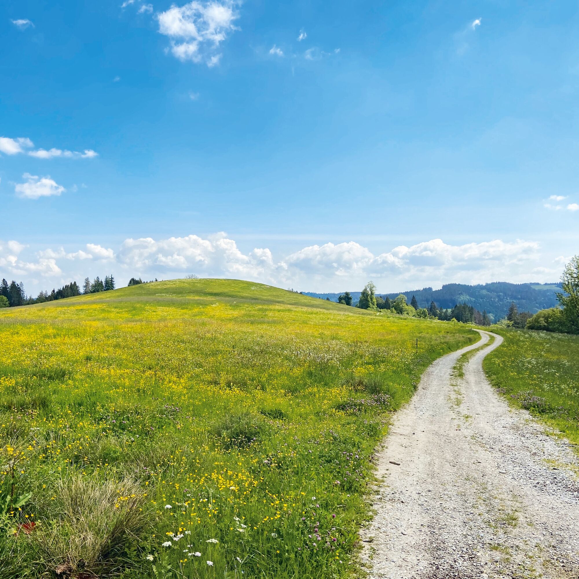
Start in Rohrdorf: At the picturesque inn Zum Goldenen Kreuz we dive into the forest, pass a firefighting pond and are trapped in the Rohrdorfer ravine with its rugged steep walls. Trees of all kinds, even yews can be found, before the magnificent path leads steeply up past an impressive waterfall – until it gets even steeper with the "Heaven's Ladder", but thanks to the small steps on the slope it is manageable. On top of the ridge, the view opens wide over the Württemberg Allgäu, on the ridge path we stroll leisurely to the large mountain pastures of the Herrenberg, the former summer residence of the monastery lords of Isny. The house is very old, the Celtic garden fascinating, the chapel next to it has unfortunately disappeared. However, a beautiful path leads down to Rohrdorf already before the remote farm over the steep Kirchtobel with the image fir and mighty beeches. The view into the church and the cemetery with the grave of the glass lords of Schmidsfeld sets a strong final note.
Steep descent. Not too long, but demanding.
Popularne wycieczki w okolicy
Eistobel Grünenbach
światłoWędrówka 6,16 km- 4,0
Eistobel- & Bergwanderung
średniWędrówka 13,6 km Rundtour um den Niedersonthofener See
światłoWędrówka 16,4 km- 5,0
Himmelsleiter
średniWędrówka 18,8 km - 4,5
Maierhöfen - Riedholz - Erste Wasserfälle - Grünenbach
światłoWędrówka 5,48 km - 5,0
Eistobel tour 19
średniWędrówka zimą 5,62 km - 5,0
Kempten (Allgäu) - Marienkapelle - Mariaberg
średniWędrówka 15 km Kreuzthal und Kreuzleshöhe
światłoWędrówka 9,17 kmGestratz-Schweineburg-Malleichen Rundtour
średniWędrówka 8,60 kmRiedholzer und Iberger Kugel mit Bergwies
średniWędrówka 6,05 km
Wędrówki i tropienie


Nie przegap ofert i inspiracji na następne wakacje
Twój adres e-mail została dodana do listy mailingowej.