


Kirchenköpfle route in Hechingen
The hike, mostly on natural paths, through open areas and winding trails through fragrant forests up to the Albtrauf and along it, is only suitable for experienced hikers. Magnificent views from Köhlberg over...
The hike, mostly on natural paths, through open areas and winding trails through fragrant forests up to the Albtrauf and along it, is only suitable for experienced hikers. Magnificent views from Köhlberg over Hohenzollern Castle, down into the Killertal Valley and even to the Black Forest reward the hiker for their effort. A shelter with a barbecue area invites you to linger and enjoy at this exposed location.
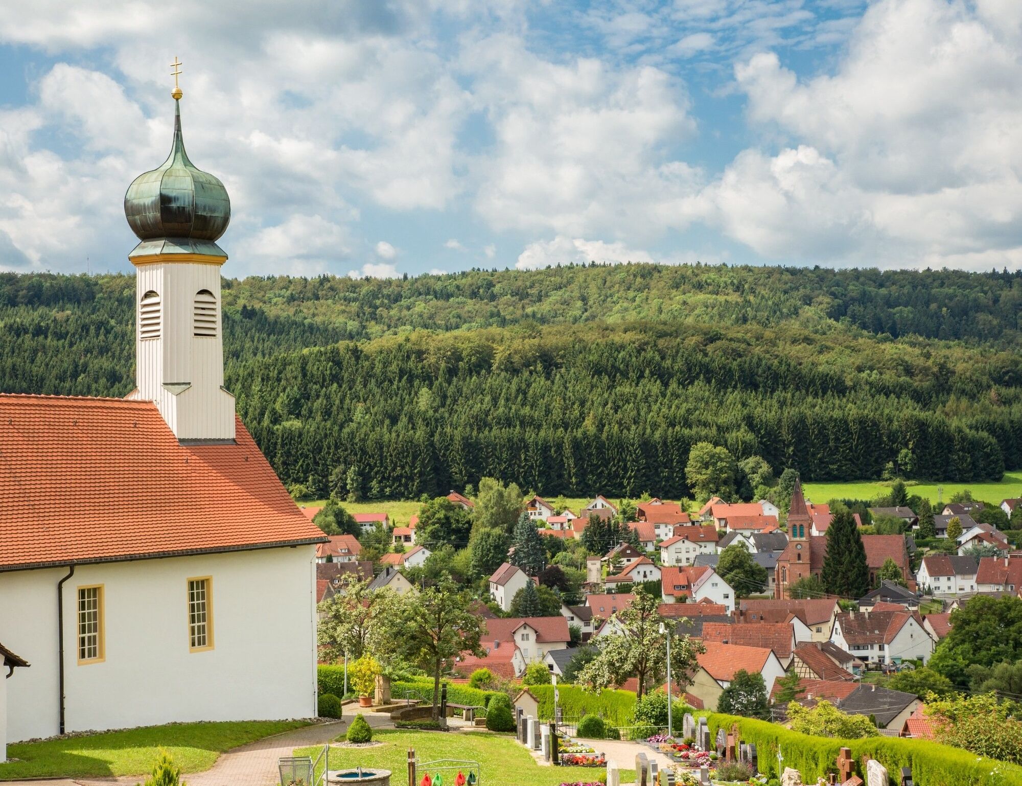
After descending into the valley, the path leads through Jungingen and along the forest edge back to Schlatt. The picturesque Friedhofkapelle Schlatt, below the Kirchenköpfle, is always in sight. With a final climb to the chapel, the route ends back at the starting point Sportplatz Schlatt.
Barbecue area:
At the Köhlberg viewpoint
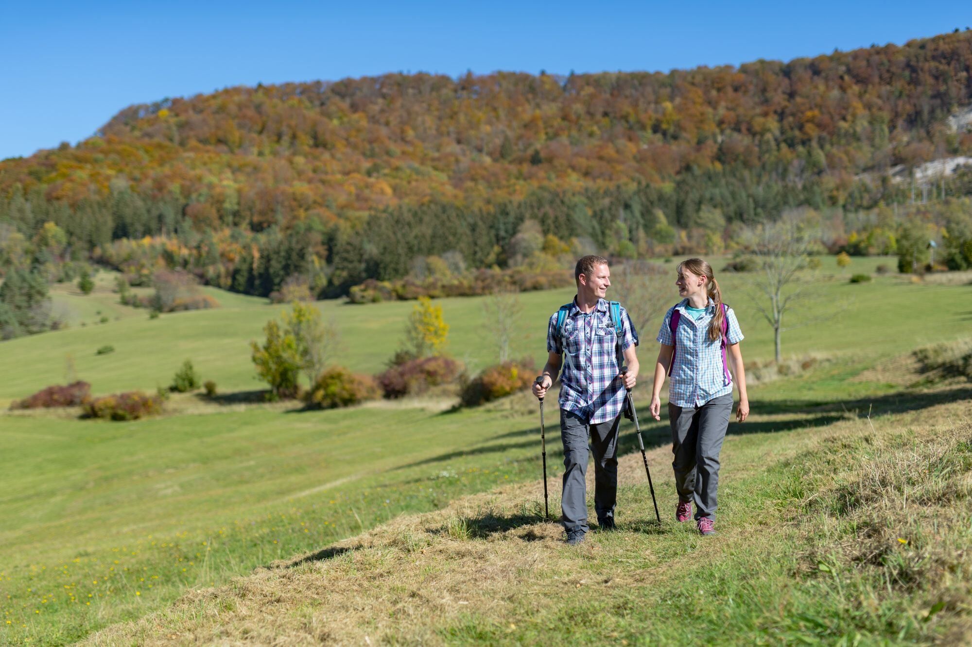
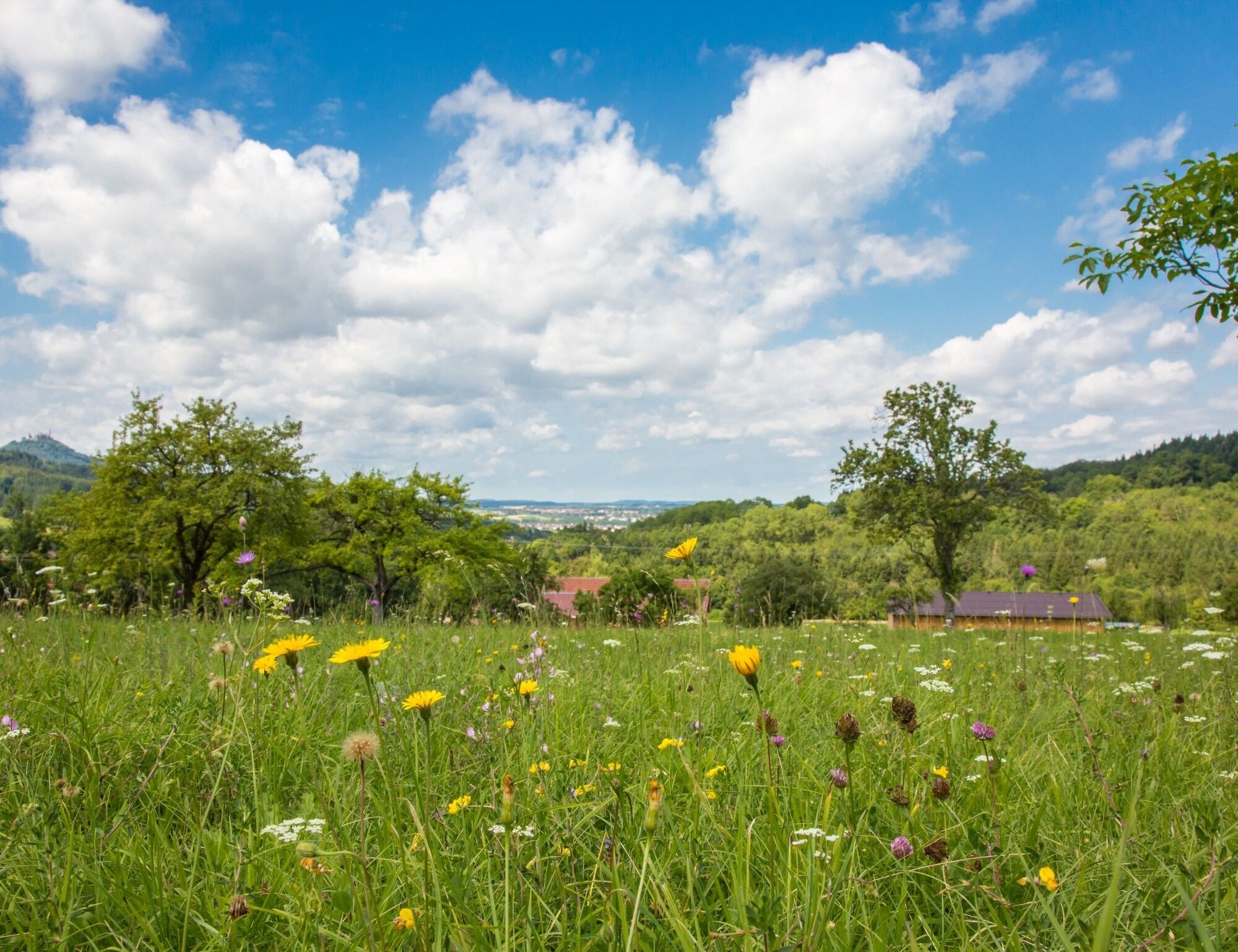
The Kirchenköpfle route is a demanding hike with many paradisiacal moments. Steeply uphill at the start, with the Albtrauf firmly in view, the route is a small challenge. Over lush green meadows with wonderful panoramic moments natural paths lead you through the forest up onto the escarpment. A nice flat path guides you at the height across the Weilerwaldkopf to the Köhlberg. Here your effort is rewarded with a picturesque view over the valley to Hohenzollern Castle. A shelter with a barbecue area invites you to linger at this exposed location.
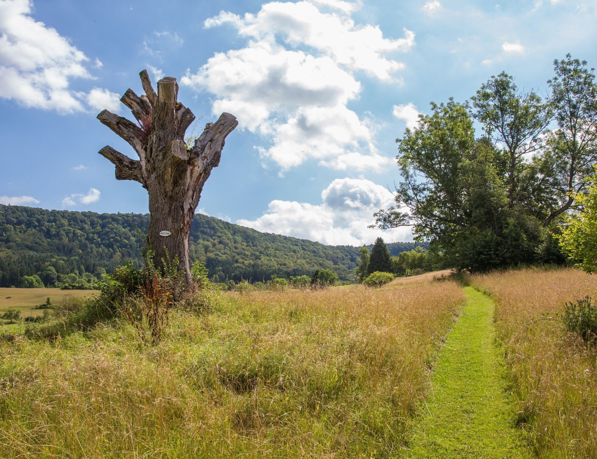
Refreshed, you go down jagged paths into the lovely Jungingen. Here you also pass a juniper heath typical for the Alb. After passing through the town (Reuteweg, Heuweg, Wachtweg, Bruckstraße, crossing B32, Bruckstraße, Bahnhofstraße, An der Sägmühle) an idyllic footpath along the forest edge leads you back to Schlatt. The picturesque Friedhofkapelle below the Kirchenköpfle and the Albtrauf you previously climbed are always in view.
After reaching Schlatt (Ständelweg, Federal road, Professor-Schuler-Str., Killertalstr, Wuhrstr., Wörtherstraße), the hike leads via the Way of the Cross to the widely visible Friedhofskapelle of Schlatt. From there it is only a few meters to the nearby starting point of our hike, the Sportplatz parking lot.
Catering / Refreshments:
Kaufhaus Schramm (directly on the route near Jungingen station) Bäckerei Kussebeck (directly on the route) Hotel Post Jungingen (not directly on the route, approx. 150 m from the village fountain Jungingen)Pizzeria „Cara Italia“ (not directly on the route, approx. 100 m away)Tak
Tak
Sturdy footwear required. The use of hiking poles is recommended for the ascent and descent.
DISCLAIMER:
Despite repeated checks and careful preparation of the route descriptions, the publisher assumes no liability for the accuracy and completeness of the information provided in this description.
NOTICE OF USE:
Dear hiking friends, the hiking trails lead through pristine nature reserves and forests. Preserving and protecting nature is important to us. Please stay on the designated paths.
Furthermore, we point out the presence of natural forest hazards. Due to weather conditions, some parts of the trail can be soft and slippery and should therefore be approached with special caution. Sturdy footwear is consequently recommended on all routes, surefootedness is indispensable.
Use of the hiking trails is at your own risk.
MARKING AND SIGNPOSTING:
The hike can basically be done in both directions. Therefore, the signage is done in both directions. At intersections there is a direction sign, and between these points a marking with a yellow circle shows the way.
By car: From the B27 continue via the B32 towards Burladingen and before entering Hechingen-Schlatt turn onto the road up to Hechingen-Beuren. Shortly after the turn, take the first street to the right into the residential area and follow the signs to "Sportplatz Schlatt."
For travel by public transport, the following stop is recommended:
Hechingen-Schlatt train station, Regional train RB68
The direct start of the Kirchenköpfle route is possible from the stop. The hiking trail is signposted. If the hiking signs are not immediately found, you can also follow the signs towards the town hall, Friedhofkapelle Schlatt, or sports field.
free parking
Stay at one of the wonderfully located viewpoints and enjoy the view of Hohenzollern Castle
Popularne wycieczki w okolicy
-
4,8
Onstmettingen - Heiligenkopf - Zeller Horn - Raichberg
średniWędrówka 15,7 km -
5,0
Rund um Hohenzollern
światłoWędrówka 12,9 km -
5,0
Heideweg route in Hechingen
światłoWędrówka 5,57 km -
4,5
Raichberg route in Hechingen
ciężkiWędrówka 11,2 km -
5,0
Gönningen, Bänklesweg
światłoWędrówka 10,0 km -
5,0
Dreifürstenstein-Hirschkopf-Runde in Burladingen
światłoWędrówka 10,1 km -
5,0
Kreuzfelsenweg in Burladingen
średniWędrówka 8,98 km -
4,0
Rundweg Starzeltal in Rangendingen
światłoWędrówka 11,0 km -
5,0
Rundweg Weiler Berg in Rangendingen
średniWędrówka 12,3 km -
5,0
Jungingen, Nägelehaus
światłoWędrówka 18,2 km
Wędrówki i tropienie


Nie przegap ofert i inspiracji na następne wakacje
Twój adres e-mail została dodana do listy mailingowej.