







Black Forest in a different way – a bwegt hiking route
This bwegt hiking route connects Altensteig and Nagold – both small towns are idyllic places in the Black Forest that delight nature lovers as well as culture enthusiasts. From the start at the bus stop...
This bwegt hiking route connects Altensteig and Nagold – both small towns are idyllic places in the Black Forest that delight nature lovers as well as culture enthusiasts. From the start at the bus stop at the beautifully designed marketplace in Altensteig, you can enjoy the view of the historic silhouette of the old town. From the town, the route goes directly into the deep forest, where the babbling Hirschgraben and the Bömbach are hidden.
A natural highlight is the Egenhäuser Kapf with its hedge- and shrub-rich landscape. From the Nature Park viewpoint you have an impressive panoramic view of the Black Forest and the Heckengäu as well as towards the Swabian Alb – the Black Forest reveals its diverse side.
The path continues into the Waldachtal, and meadows extend between the trees. Soon you reach one of the seven hills around Nagold, and over Killberg you arrive in the urban small town directly to the bus stop.
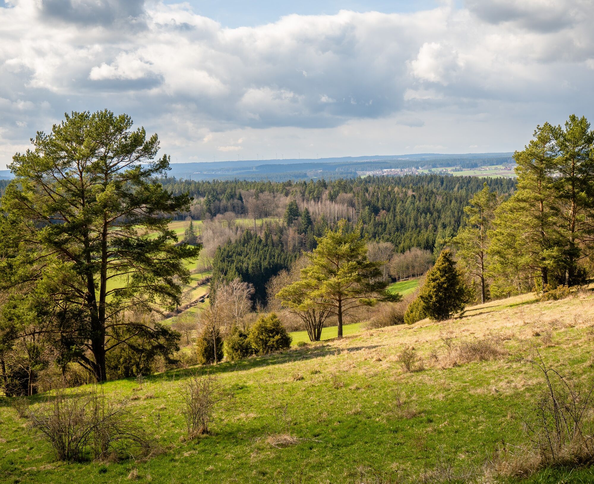
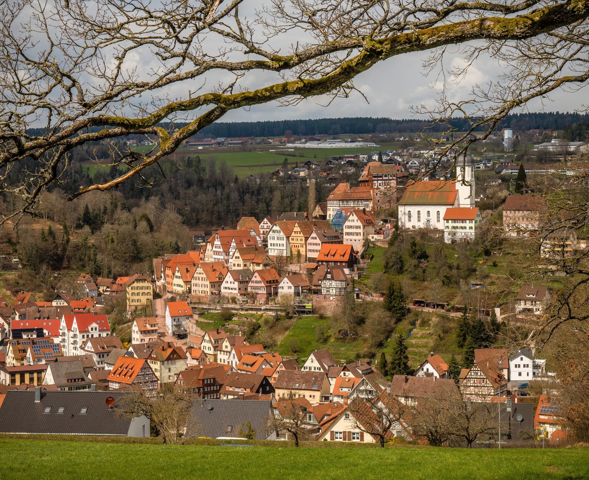
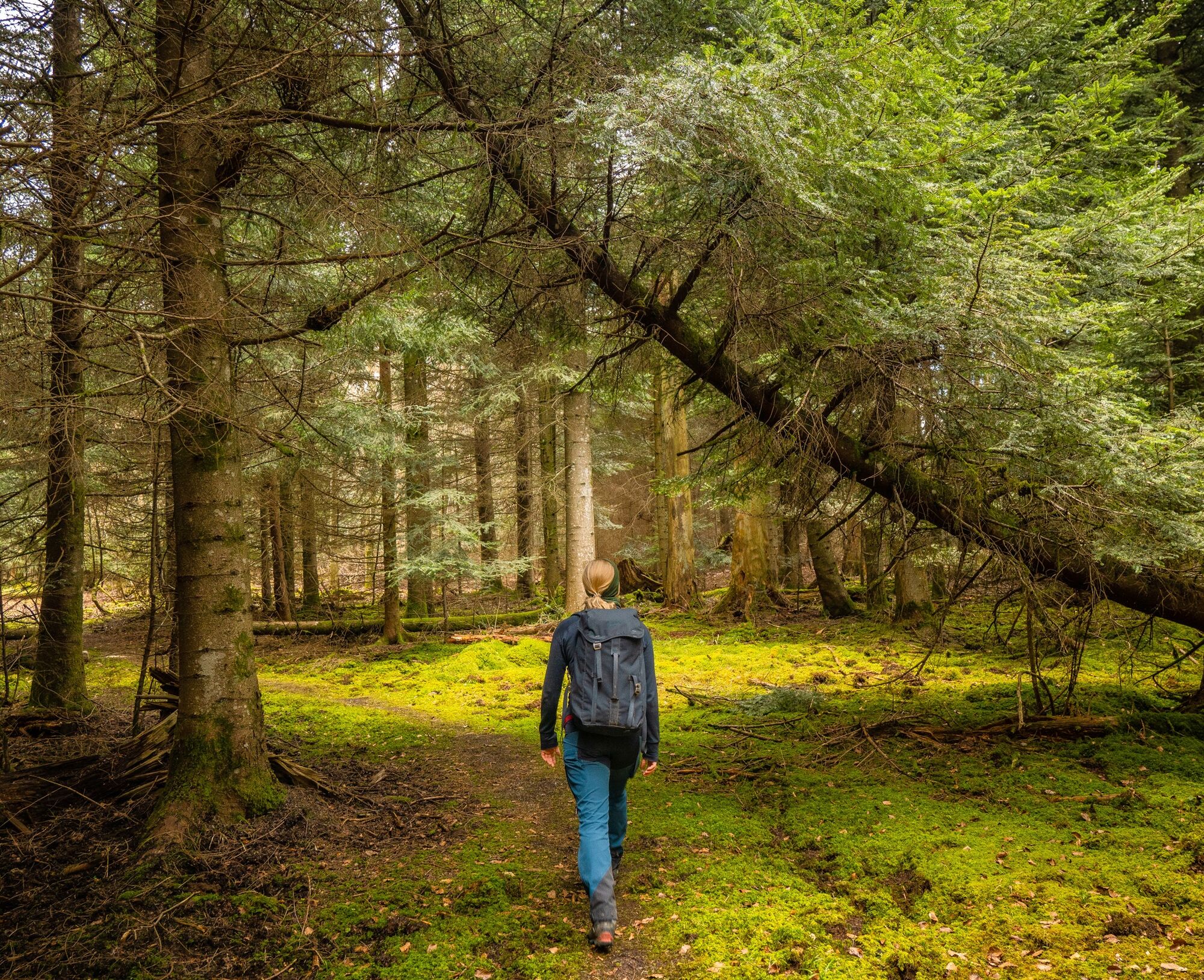
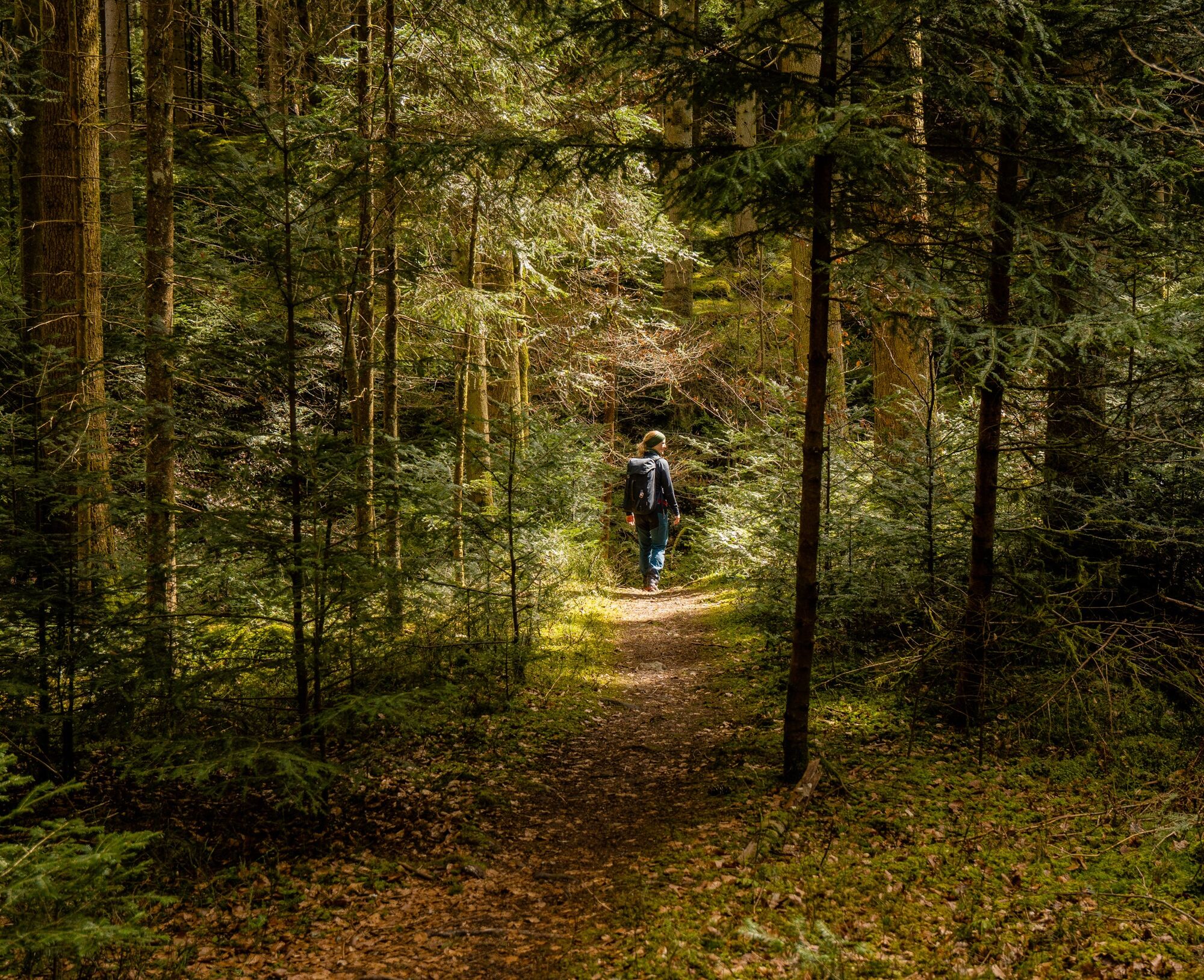

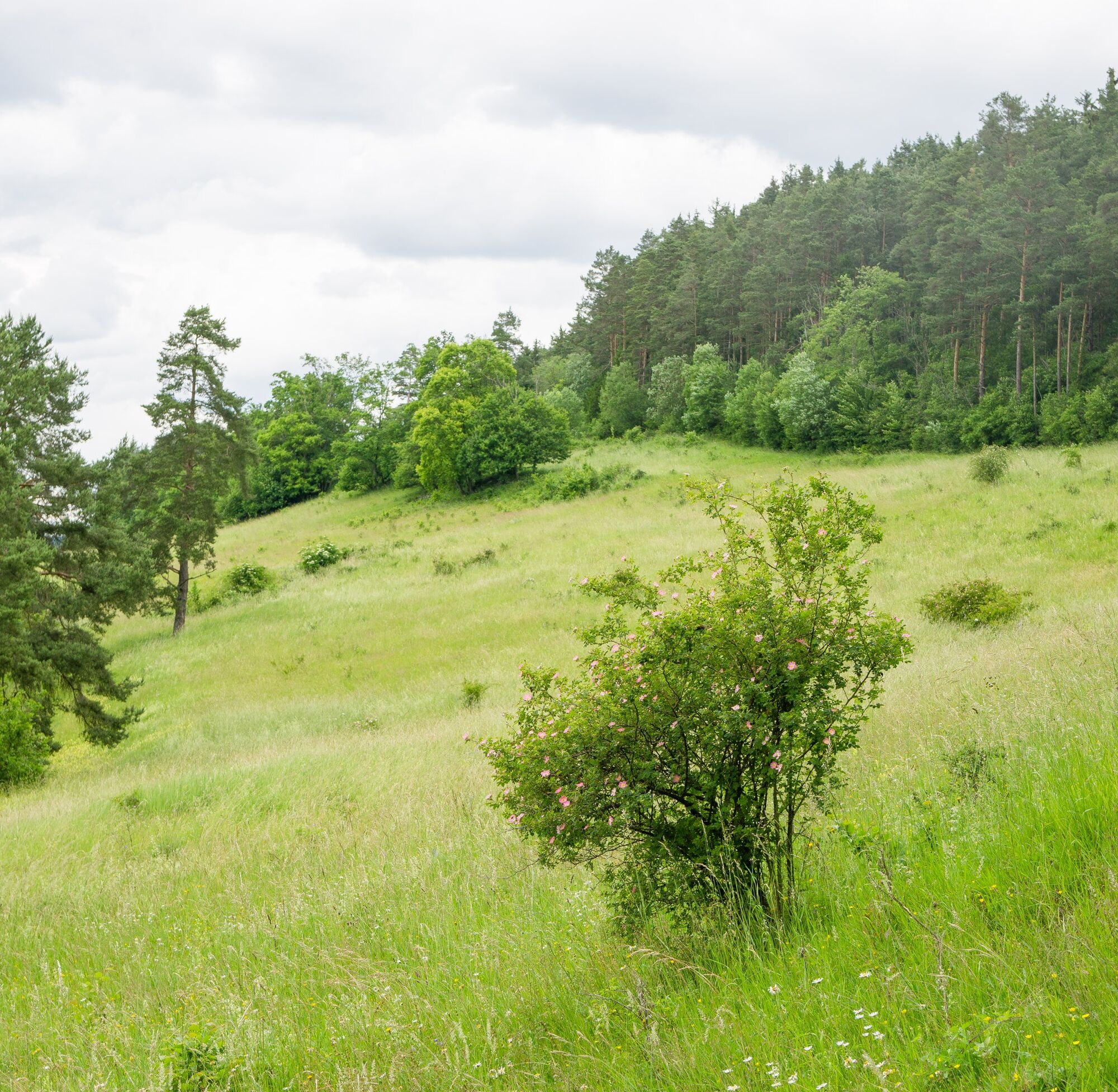
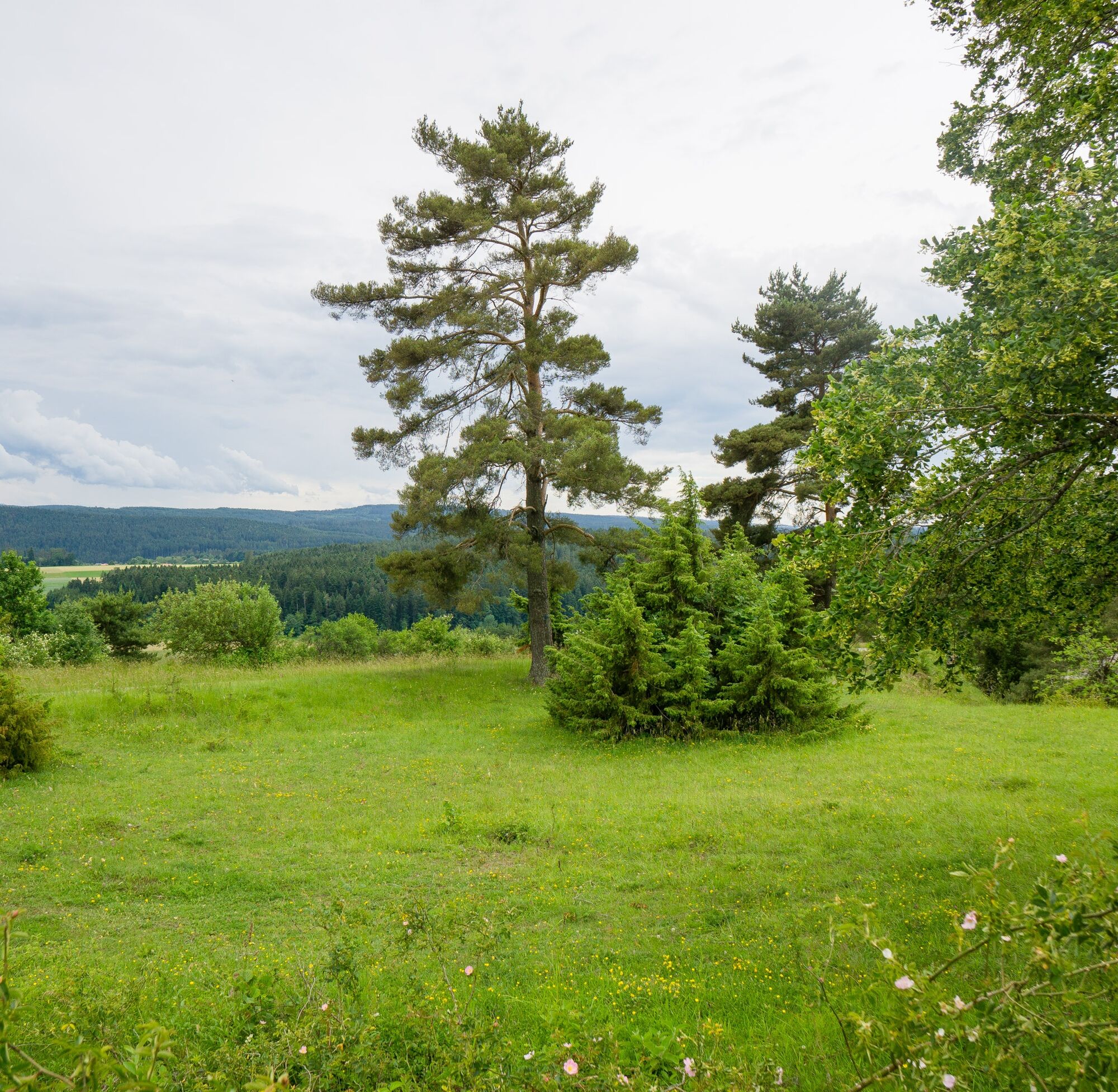
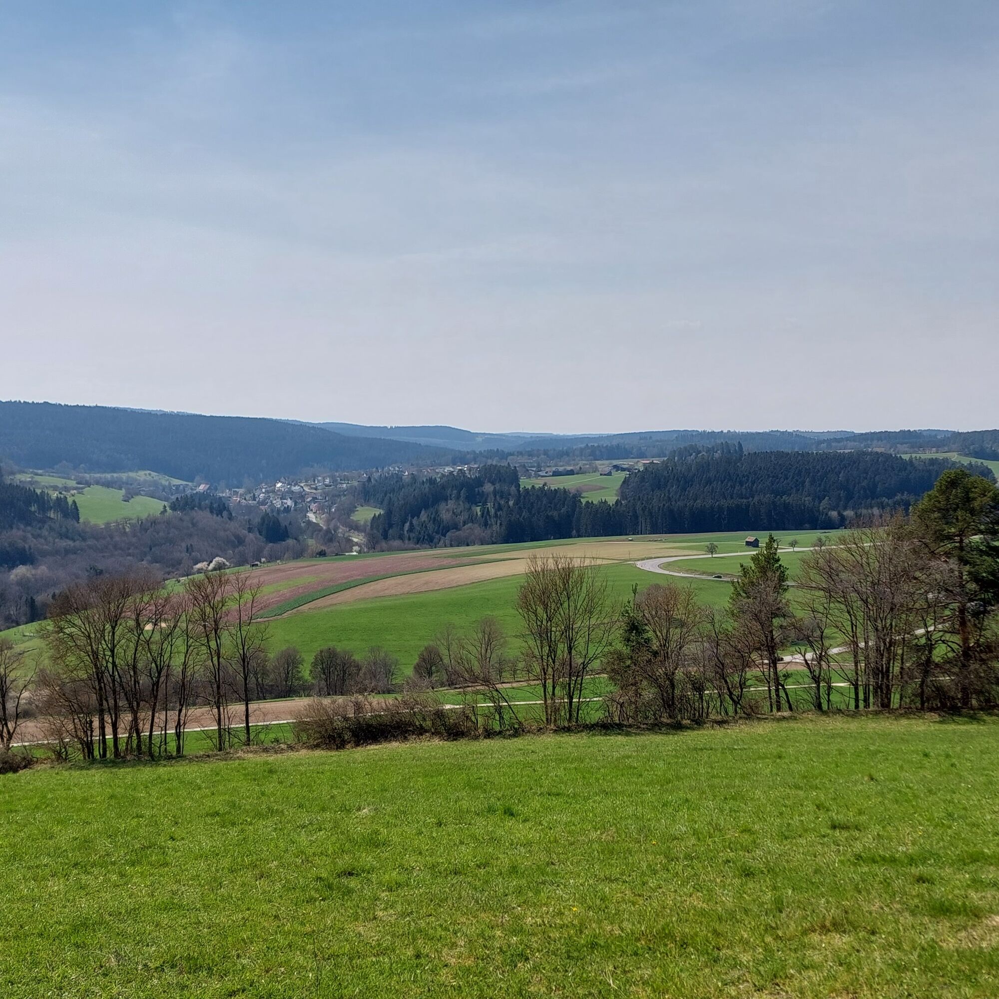
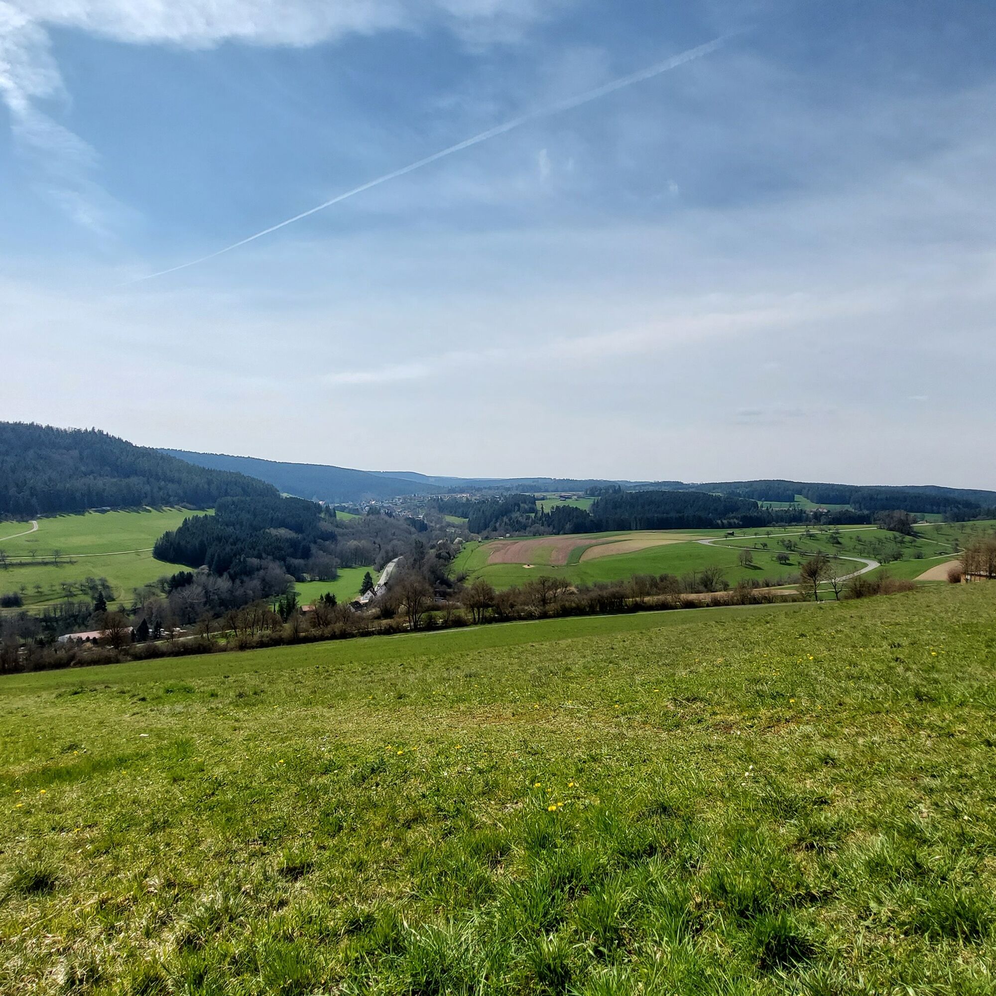
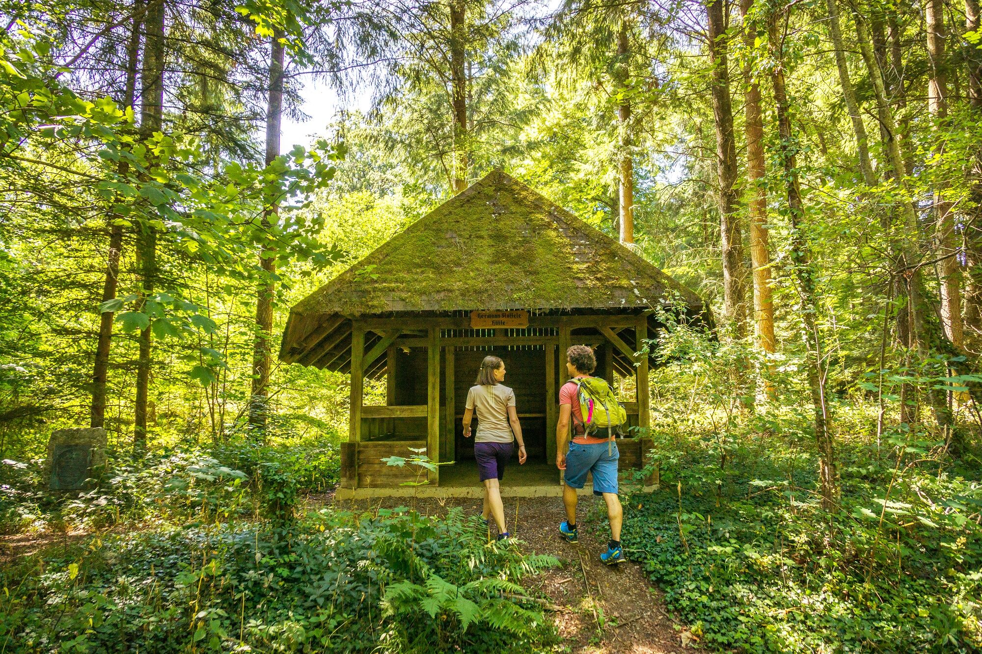
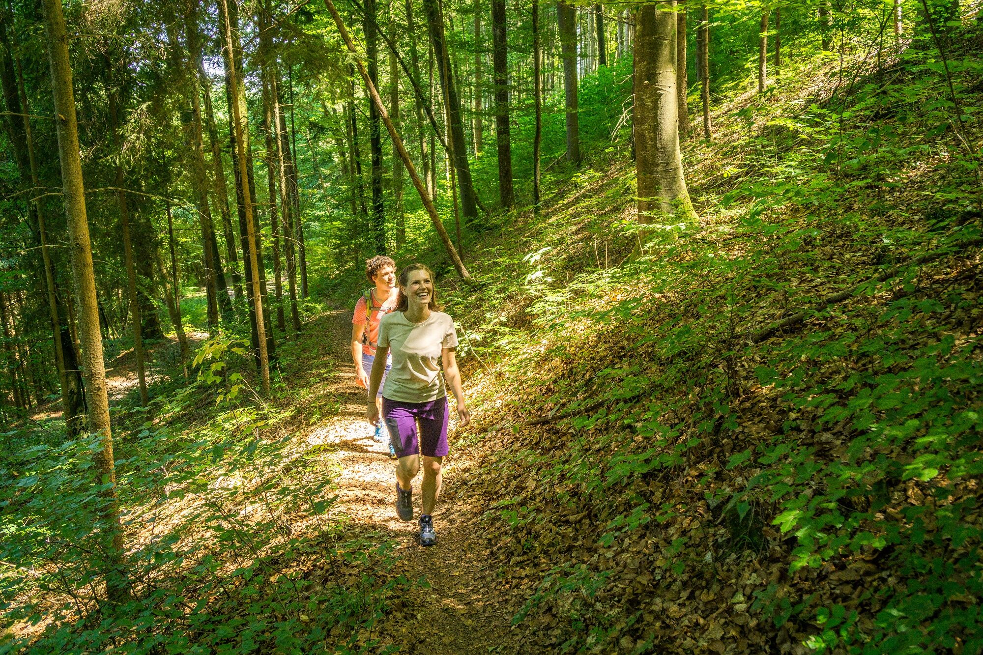
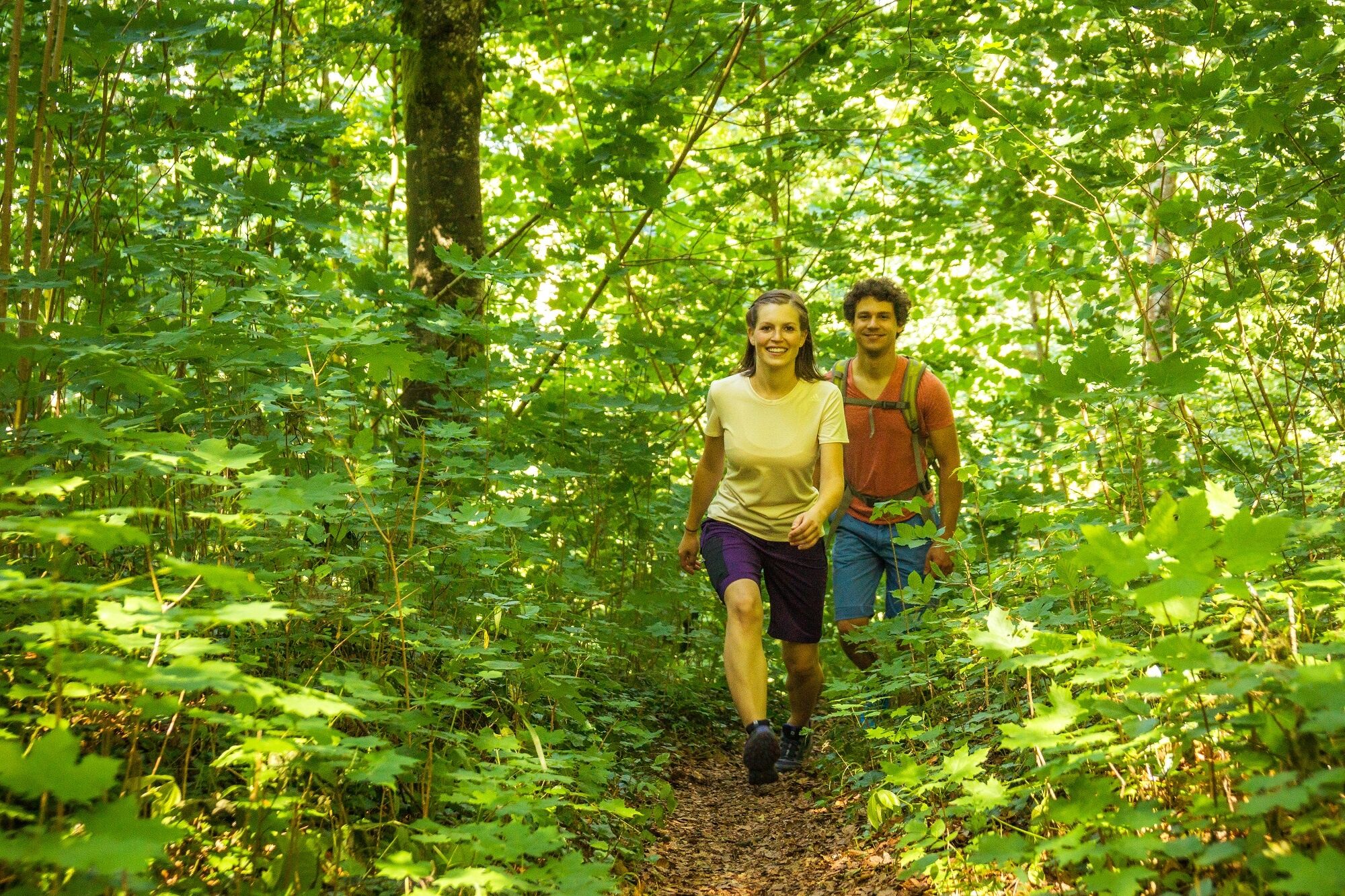
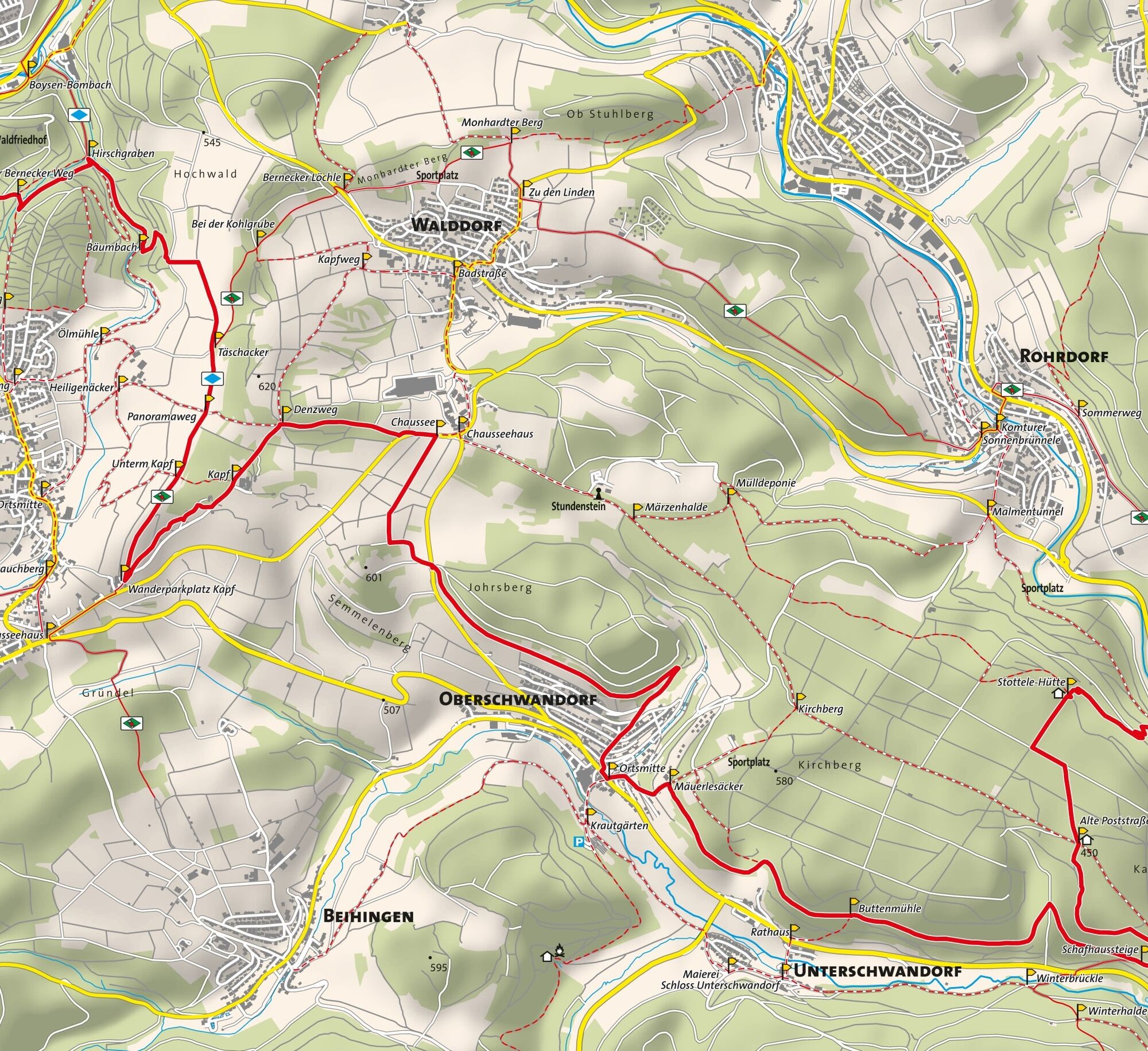

The bwegt hiking route follows the diamond signage of the Black Forest Association. At the signpost locations there is a note about the route and the bwegt logo. The signposts lead you from location to location, from the start to the endpoint of the hike.
WWS Altensteig Marketplace - WWS Altensteig Brunnenhäusle - WWS Lower Reute - WWS Middle Reute - WWS Old Bernecker Way - WWS Hirschgraben - WWS Bömbach - WWS Täschacker - WWS Panorama Path - WWS Under Kapf - WWS Hiking parking lot Kapf - WWS Kapf - WWS Denzweg - WWS Chaussee - WWS Oberschwandorf Town Center - WWS Mäuerlesäcker - WWS Buttenmühle - WWS Schafhaussteige - WWS Lembergsenke - WWS Häfele-Hütte - WWS Buchschlägle - Peace Forest - WWS Old Post Road - WWS Stottele Hut - WWS Former Rope Making Shop - WWS Hiking parking lot at the city park
Hiking shoes, provisions, (digital) maps, sun or rain protection
X77 between Altensteig/Nagold/Herrenberg
Line 772 between Altensteig/Nagold
https://www.bwegt.de/ihr-nahverkehr/reiseinformationen/fahrplanauskunft
Tourismus GmbH Northern Black Forest
Sonnenweg 5
75378 Bad Liebenzell
07052-8169770
The path leads through the unique Egenhäuser Kapf nature reserve with the Bömbachtal.
It is all the more important here: be sure to stay on the marked paths!
Popularne wycieczki w okolicy
- 5,0
GeoTour Wildberg through the picturesque Lützenschlucht
ciężkiWędrówka 2,80 km - 5,0
Altensteig Nature Adventure Trail
średniWędrówka 11,6 km - 4,5
Waldeck ruins and the largest water wheel in Europe
średniWędrówka 15,4 km - 4,0
Naturpark-AugenBlick-Runde Calw-Holzbronn
średniWędrówka 13,3 km - 5,0
Above the clouds towards Wildberg
średniWędrówka 8,15 km - 5,0
Fairytale-like Morgental
światłoWędrówka 17,0 km - 4,0
Nature Park AugenBlick route Egenhausen
średniWędrówka 11,3 km Reizvolles Zinsbachtal
średniWędrówka 17,8 kmStream Experience Trail Iselshausen
światłoTrasa tematyczna 0,65 kmRomantic gorge border hike
ciężkiWędrówka 11,5 km
Wędrówki i tropienie


Nie przegap ofert i inspiracji na następne wakacje
Twój adres e-mail została dodana do listy mailingowej.





