


Baiersbronn Himmelsweg: Woodcutter Route
Poziom trudności: T2
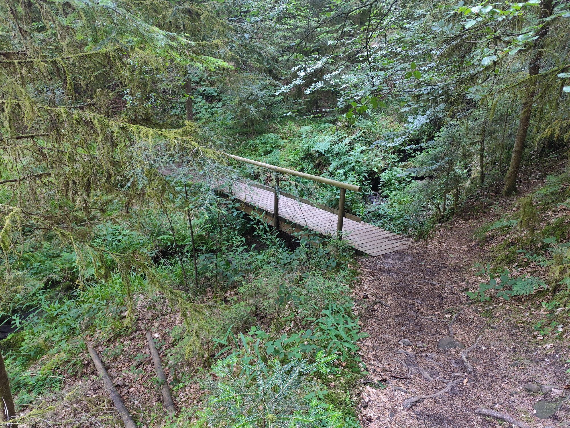
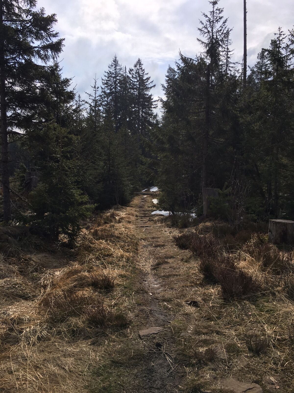
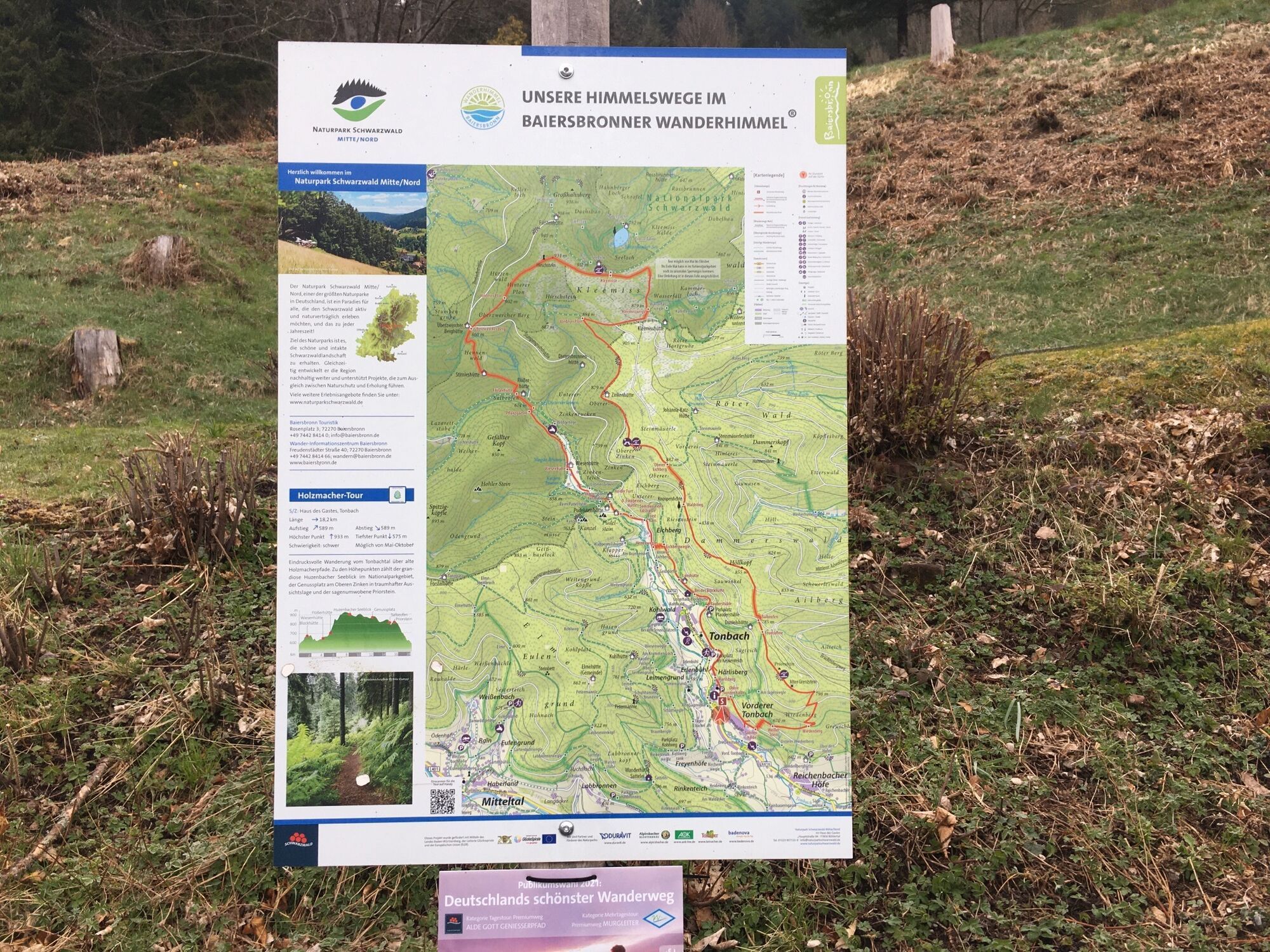
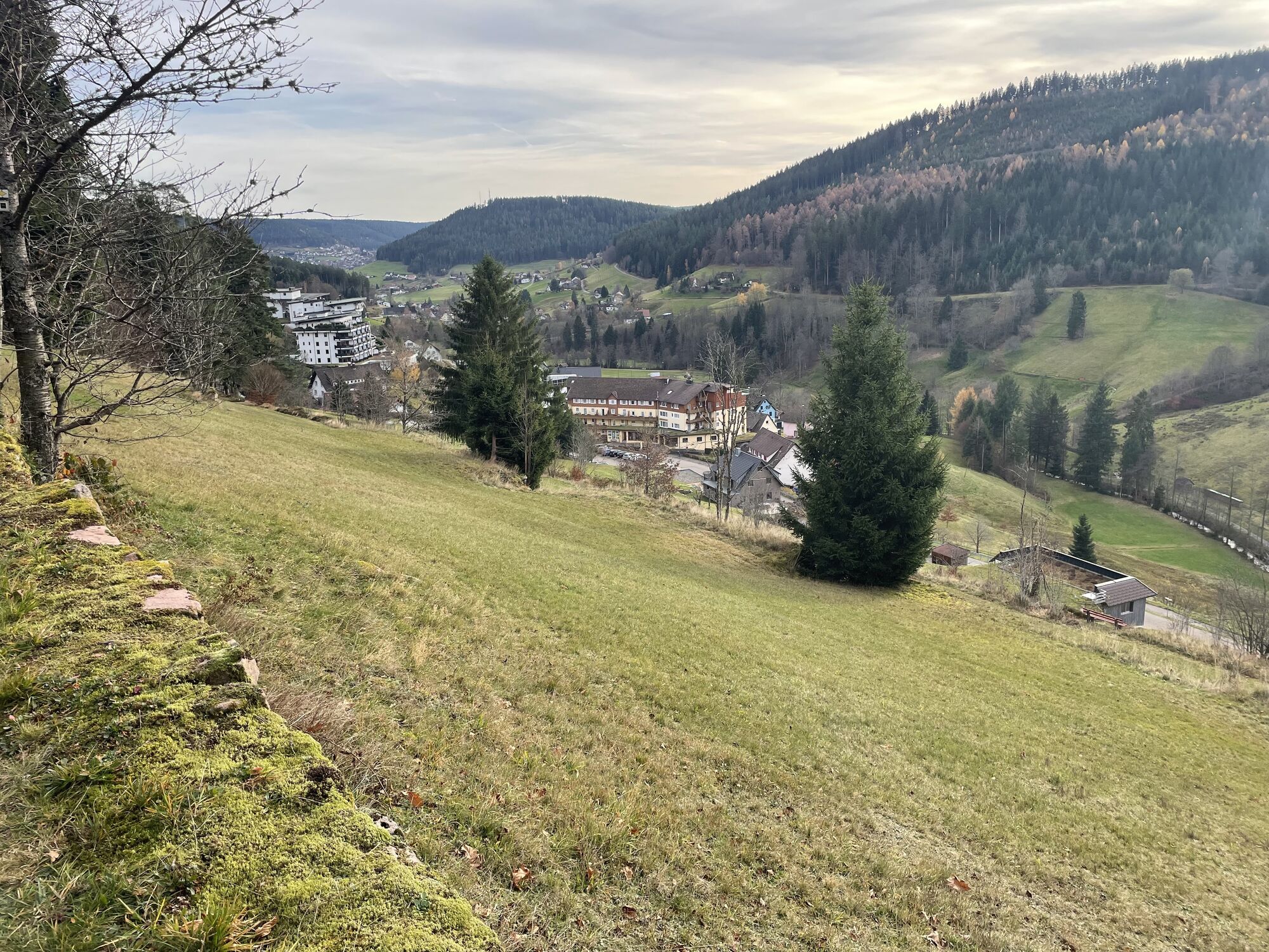
At the beginning, there is a slight ascent along the forest edge up the valley. Past the Block Hut, down a meadow path, past the last houses in the Tonbach valley, the path leads to the Tonbach valley...
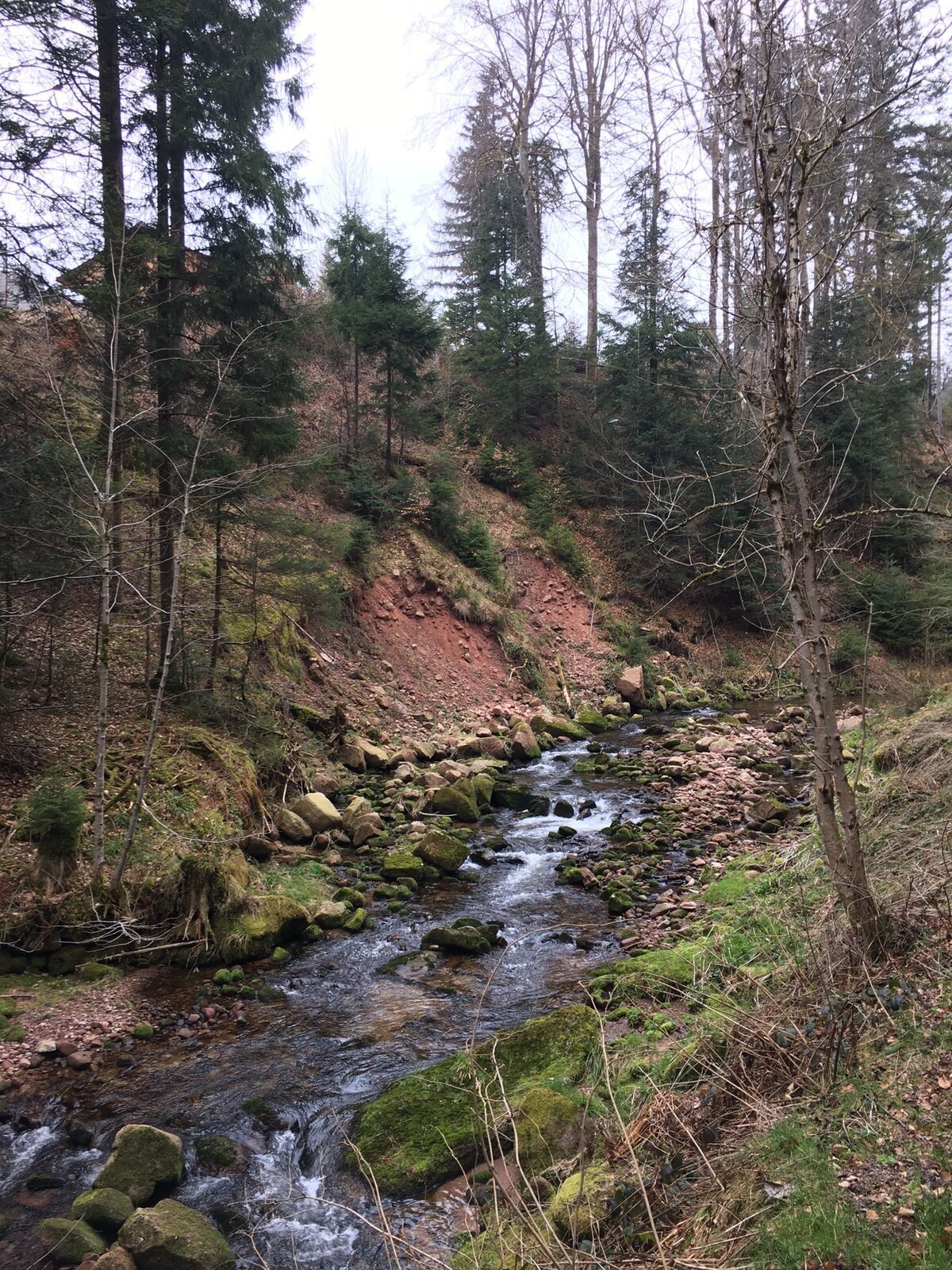
At the beginning, there is a slight ascent along the forest edge up the valley. Past the Block Hut, down a meadow path, past the last houses in the Tonbach valley, the path leads to the Tonbach valley hollow. Here the route follows the stream upstream.
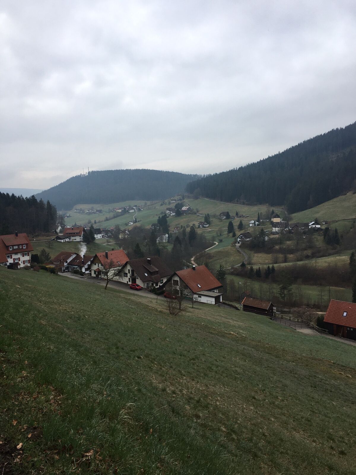
At first, the Tonbach valley appears sharply rocky through a narrow section at the ford but opens after a few hundred meters toward the Meadow Hut into a lovely and wider meadow valley. Always following the Tonbach, you eventually reach an old salve oven. Then follows an approximately 1 km long ascent to Überzwercher Mountain, which is somewhat strenuous but becomes an experience due to its path character.
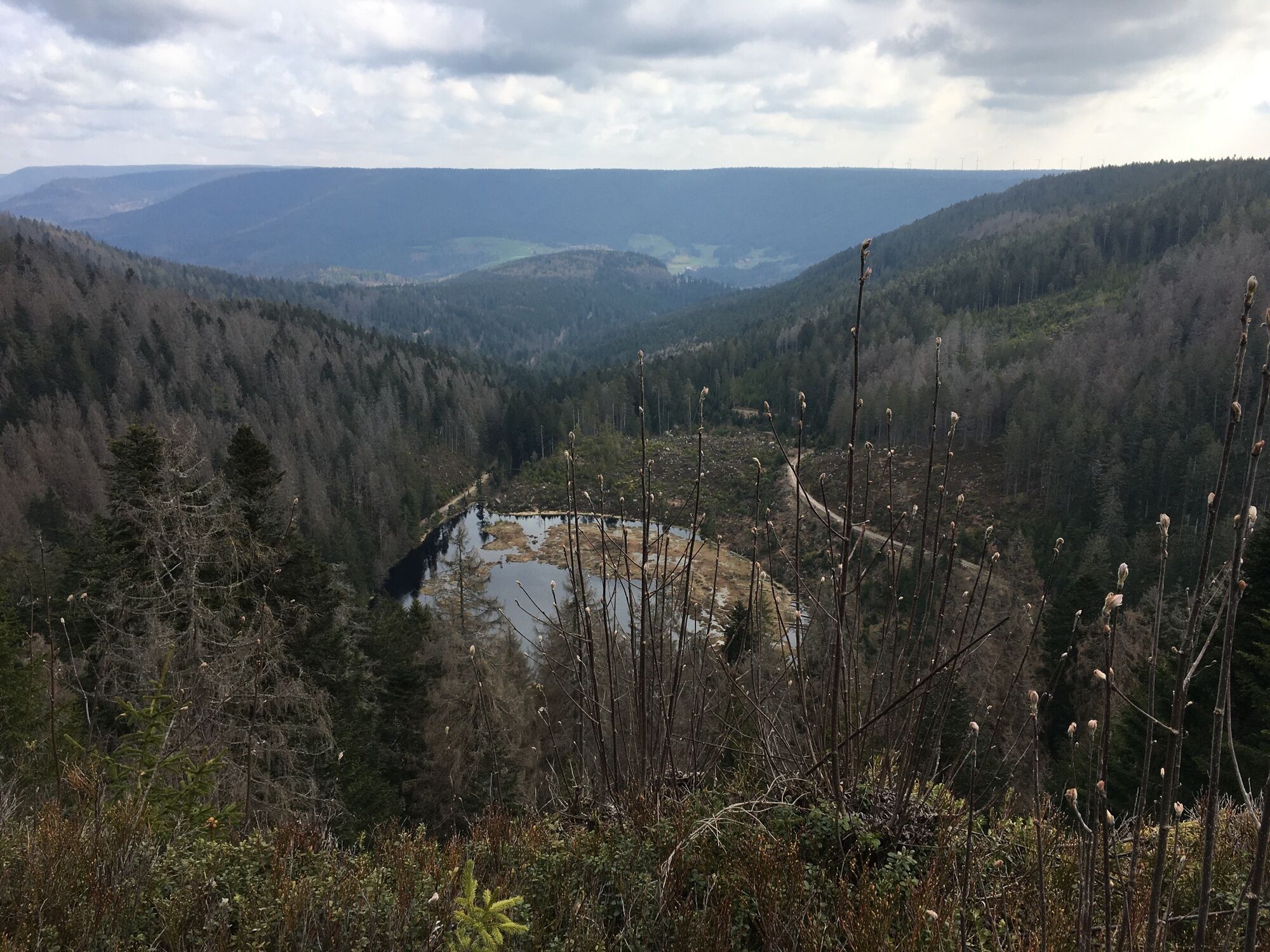
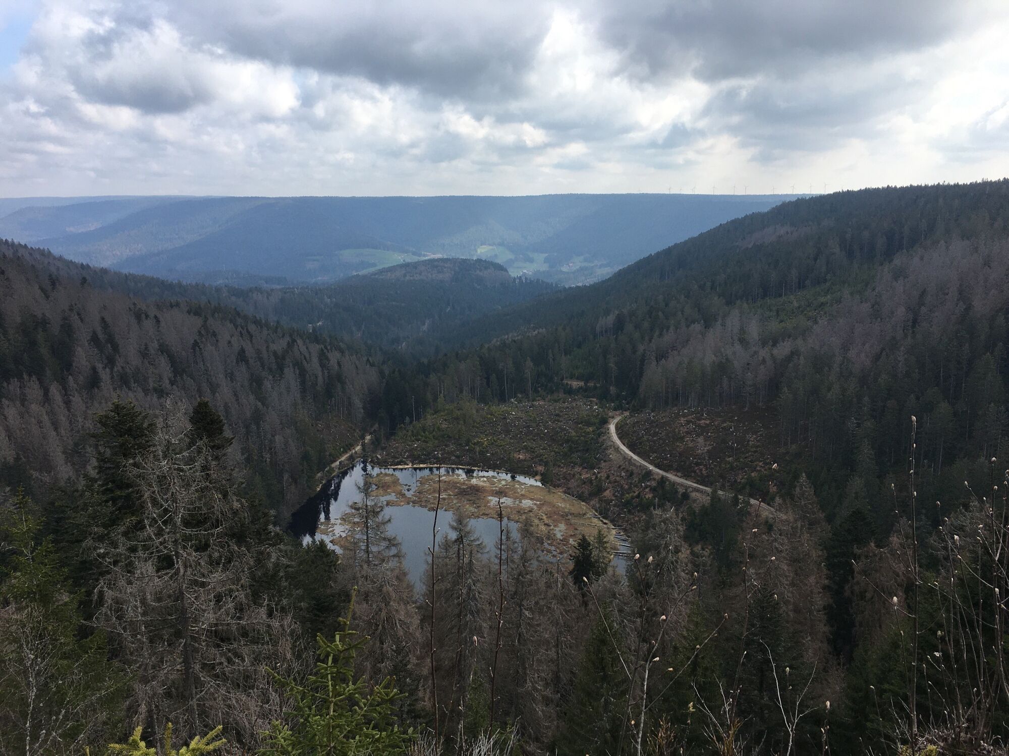
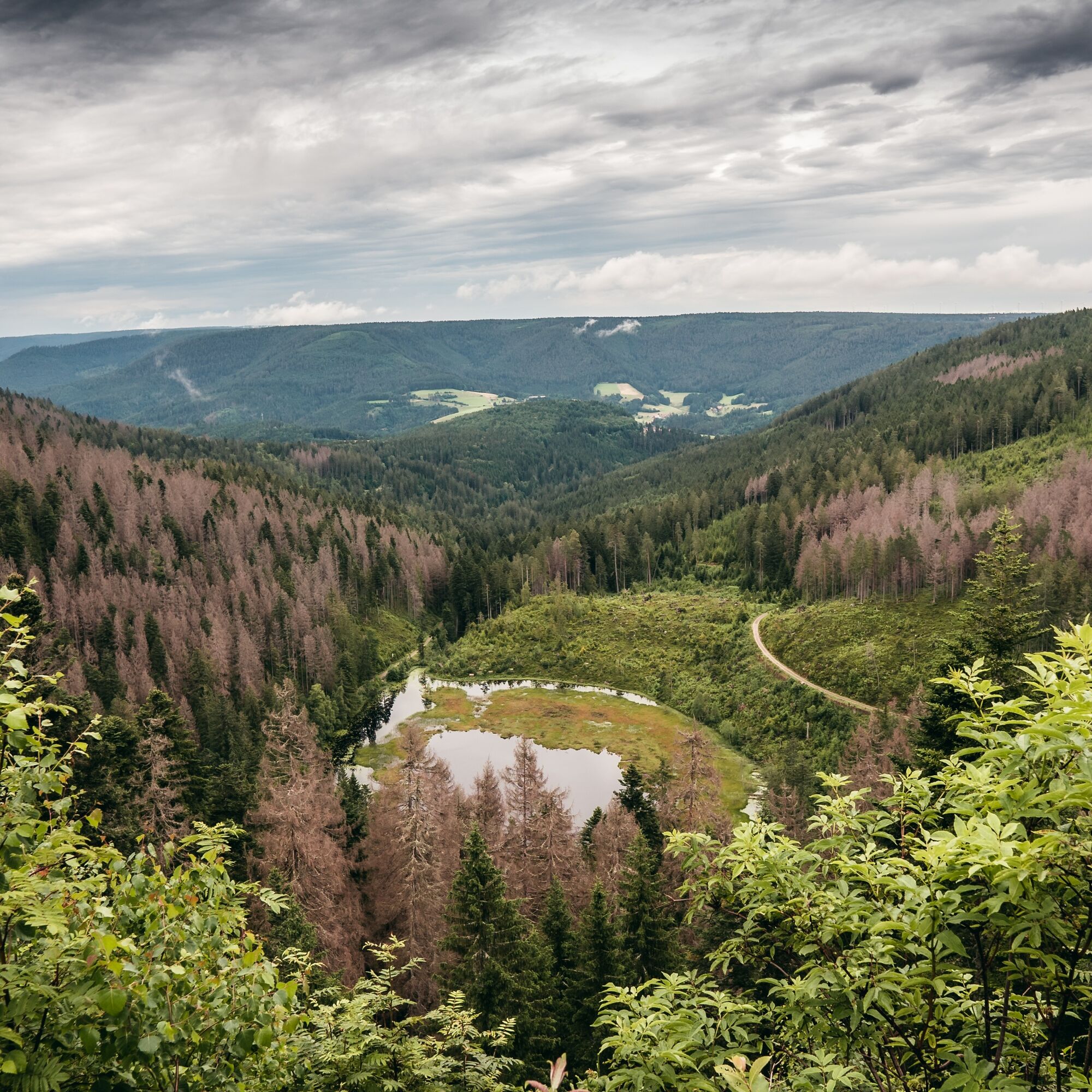
After another short ascent, you leave the gravel path and enter a natural path into the Kleemisse raised bog area. Upon arrival at Kleemisse, a short detour to the Huzenbach Lake view is worthwhile. The view of the lake lying deeply in the cirque is spectacular. Especially in July, during the pond lily bloom, the Huzenbach Lake appears in full splendor. Then thousands of small yellow blossoms can be seen dancing on the water surface. This unique resting place is worth lingering.
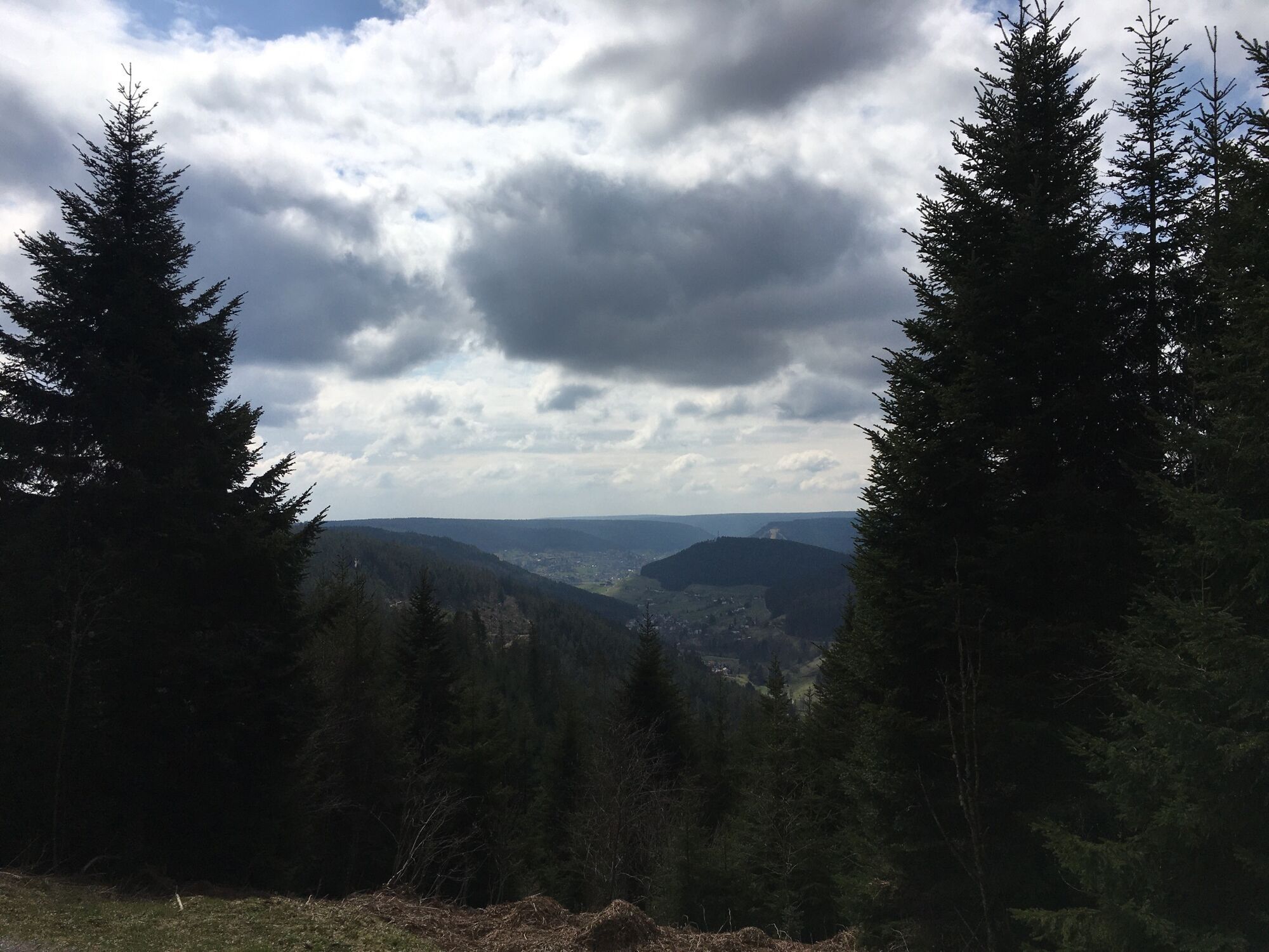
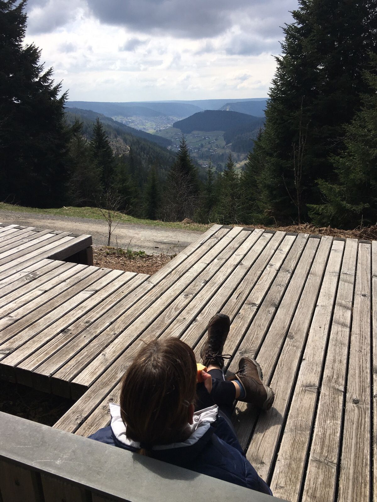
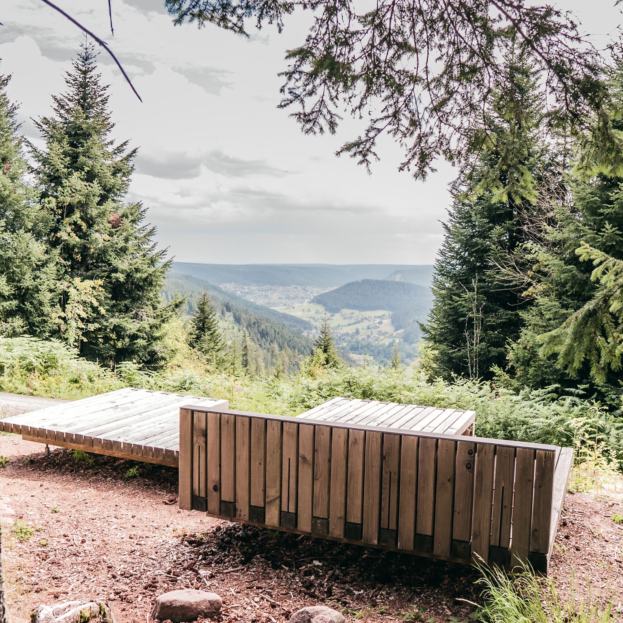
Continuing through the Kleemisse raised bog area, the route follows more or less along the ridge to another highlight of this hike. The refreshment spot at Upper Zinken. It is located in a particularly exposed position with dreamy views of the Tonbach valley and Baiersbronn.
The return to the Tonbach valley begins after the Höllkopf with a short descent to an old salve oven, leads slightly uphill again to the Priorstein, followed 400 m further by an old border stone from 1557. Here the ridge ends; the Murg valley lies ahead of the hiker. The path back to the starting point leads over a narrow old woodcutter path into the front Tonbach valley to the House of the Guest.

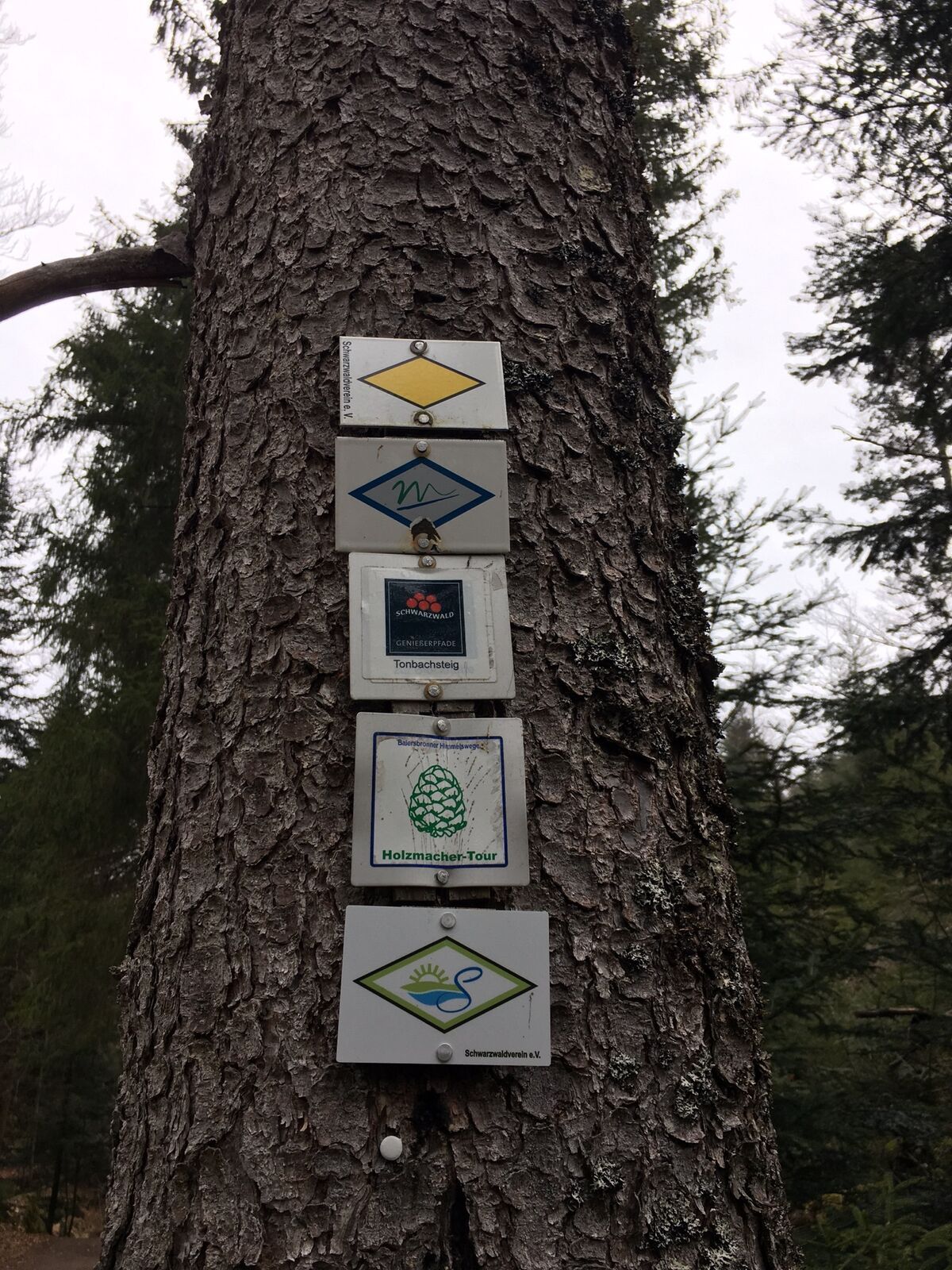
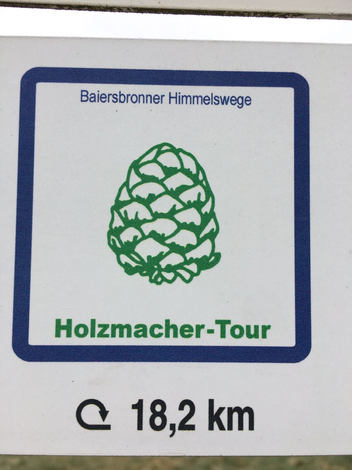
The path is marked as one of the Baiersbronn Himmelswege with a pine cone as a symbol.
Location sequence: Härlisberg - Härlisberg Fountain - Plauderstüble - At the Block Hut - Eichbergweg - Herrenweg - Forester's House - D Finkbeiner Hut - At the Ford - Lower Zinken - Meadow Hut - Plant Garden - Raft Hut - Überzwercher Mountain - Rear Plon - Kleemisse - Kleemisseweg - Front Plon - Upper Eichberg - Forest Path - Salbeofen - Feuerlehne - Wiedenberg - White Stone - Sunny Slope - Upper Sunny Slope - Härlisberg
Tak
The hiking information center offers, among other things, hiking sticks and backpacks for rent. More information at www.baiersbronn.de/verleih
Please check in advance the current path closures or at the Baiersbronn Hiking Information Center to see if the route is open. Tel.: +49 7442 8414-66.
Please note: In the Black Forest National Park there are seasonal winter closures and species protection closures (capercaillie).
Information about path closures in the National Park can be found here.
In the Tonbach valley, the path turns right at the Hotel Waldlust. After a short ascent, you reach the House of the Guest on the right side.
Car park House of the Guest, Tonbach
T2
Until the end of May, there may still be seasonal closures in the National Park area. A detour is signposted in this case.
The Priorstein:
In this weathered sandstone rock, a spherical cavity has formed over time that resembles an armchair. The last prior of Reichenbach Monastery, named Wetzel, is said to have dismissed his loyal gamekeeper Peterle (Petermännle) because he always claimed the prior’s resting place whenever he went hunting.
Popularne wycieczki w okolicy
-
5,0
Ottenhöfen - Eichkopf - Karlsruher Grat
średniWędrówka 13,7 km -
4,7
Kniebiser Heimatpfad - Wandern mit Genuss
światłoWędrówka 9,07 km -
4,0
Sankenbachwasserfälle und Glasmännlehütte am Stöckerkopf
średniWędrówka 12,8 km -
5,0
Naturgewalten-Tour
Wędrówka 15,6 km -
5,0
Bannwald-Tour
Wędrówka 13,3 km -
4,6
Bad Rippoldsau - Cafe & Restaurant Zum Schlüssel - Klösterle - Burgbachwasserfall
średniWędrówka 11,2 km -
4,7
premium hiking trail Enzquellenpfad
średniWędrówka 19,9 km -
5,0
Kniebis-Sankenbachwasserfälle-Sankenbachsee
średniWędrówka 7,98 km -
4,0
Eiszeit-Tour
Wędrówka 11,7 km -
2,6
Genießerpfad zum Panoramastüble
Wędrówka 10,6 km
Wędrówki i tropienie


Nie przegap ofert i inspiracji na następne wakacje
Twój adres e-mail została dodana do listy mailingowej.