


Höri Experience Path Wangen - Hemmenhofen (return by boat)
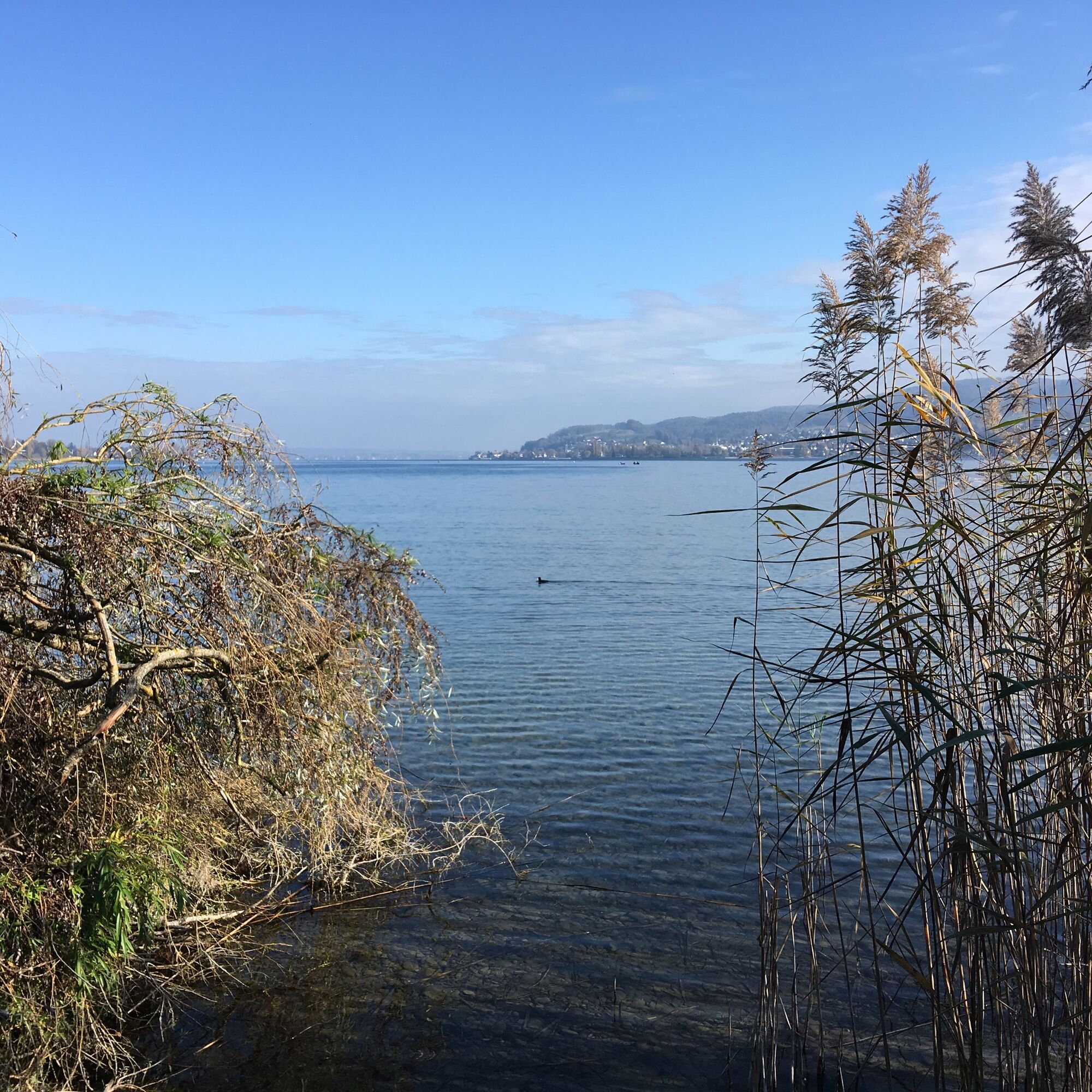
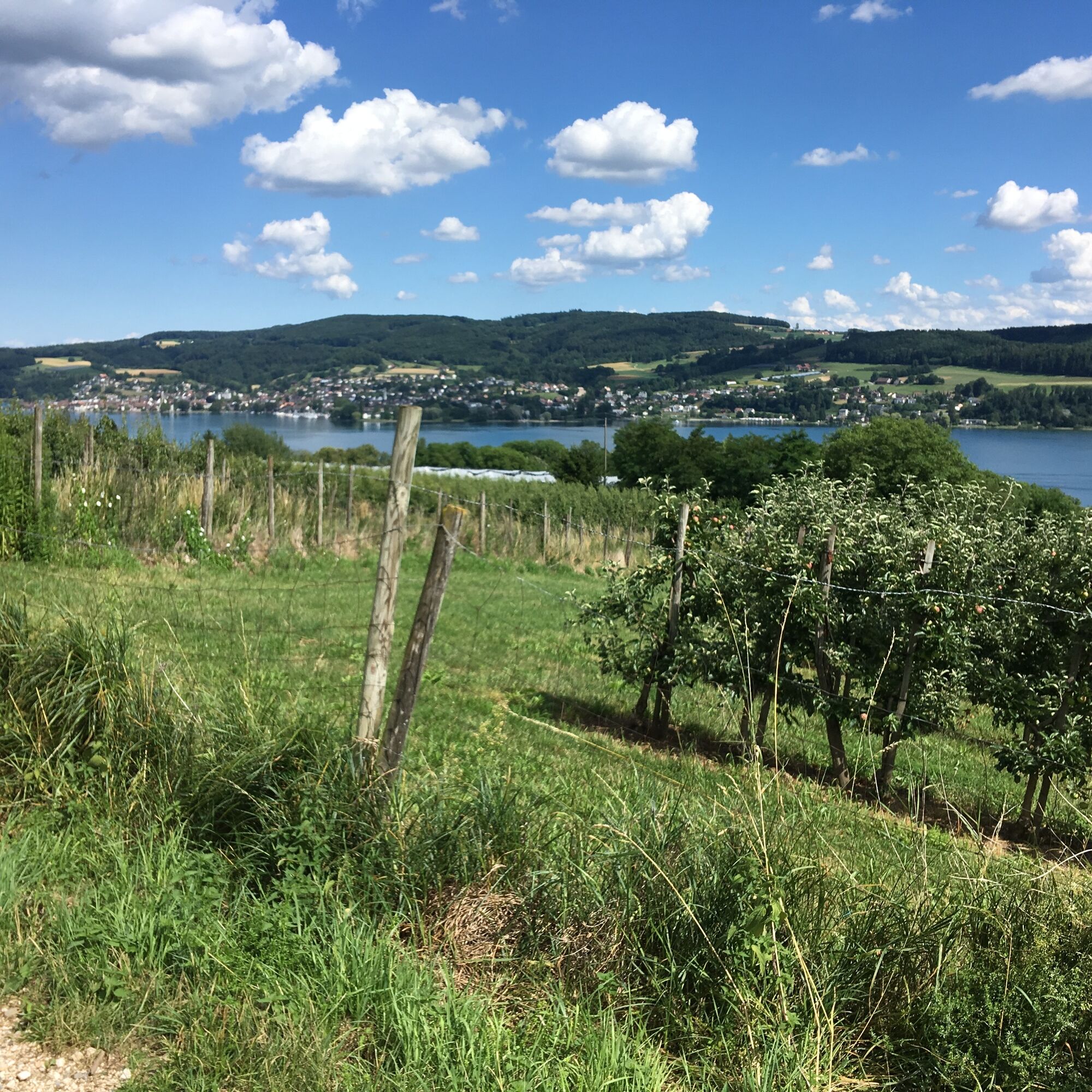
This route opens up wonderful, wide views over the Lower Lake towards the Thurgau Seerücken. And insights into the history of the Höri: In Wangen, remains of the pile dwellings at Lake Constance were found...
This route opens up wonderful, wide views over the Lower Lake towards the Thurgau Seerücken. And insights into the history of the Höri: In Wangen, remains of the pile dwellings at Lake Constance were found for the first time; this is commemorated by the Fischerhaus Museum just a few meters from the boat dock. From the boat dock in Wangen along the shore towards the west, you can see the reconstruction of a pile dwelling, right next to the museum. In the Old Town Hall in Wangen, the Jacob Picard Memorial informs about the history of the Jews in Wangen, past whose cemetery the hike leads. The views from the Panorama Path have already inspired many painters, as the two stations of the Untersee Art Route show. Otto Dix liked to walk the few meters up the hill to paint from there. Visiting the Haus Dix Museum is possible and recommended from April to October. For the return trip from Hemmenhofen to Wangen, the scheduled boat to Stein am Rhein or the Höribus can be used.

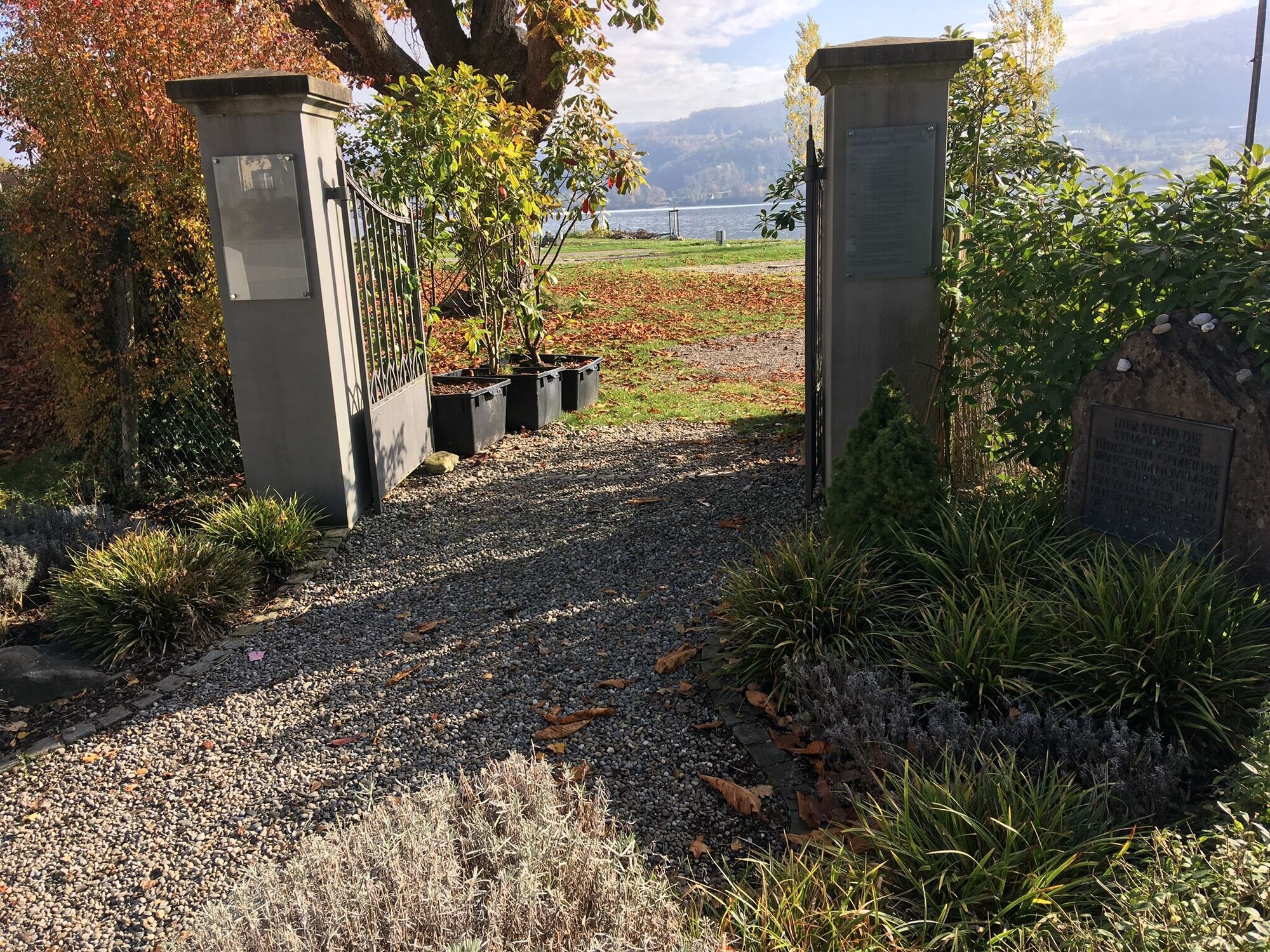
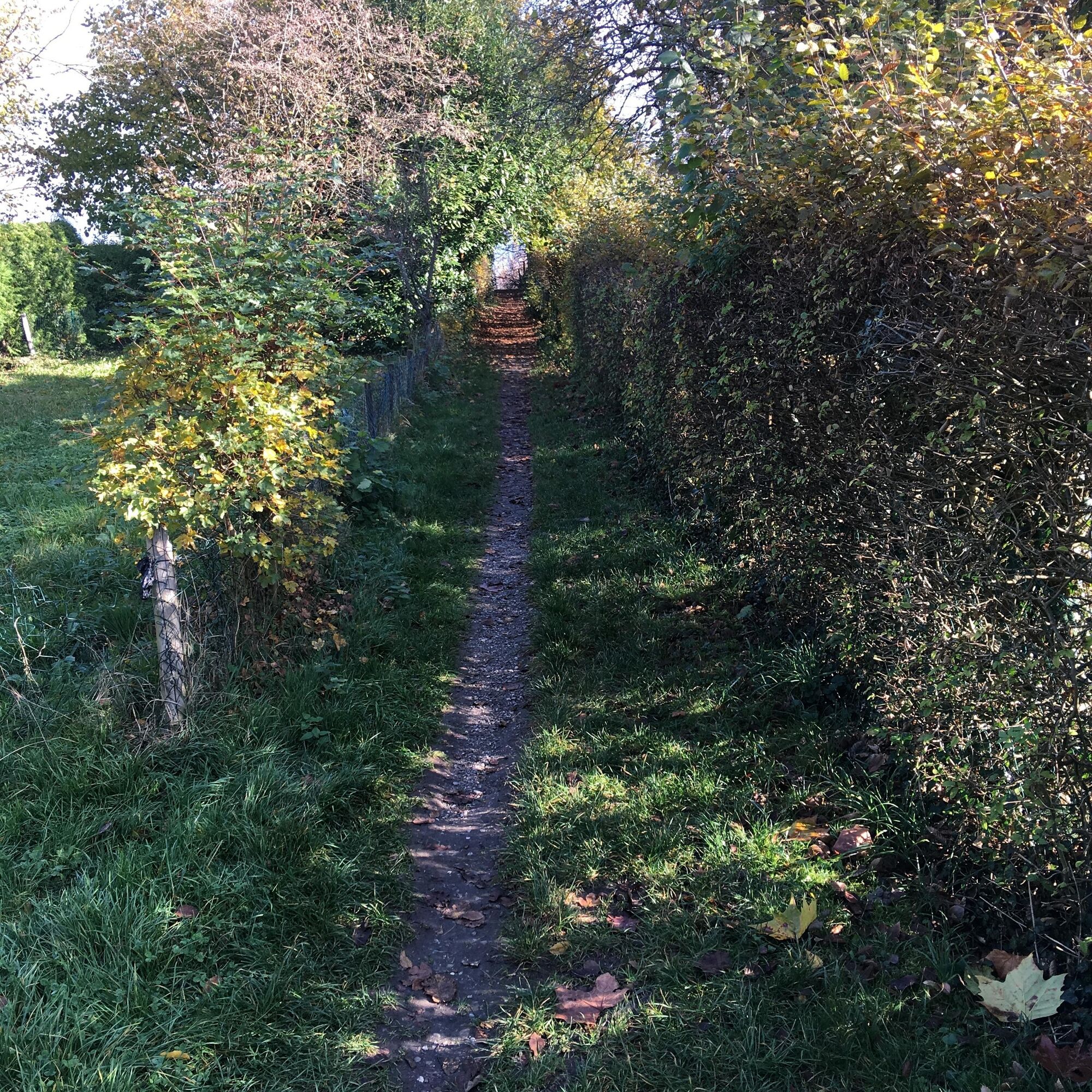
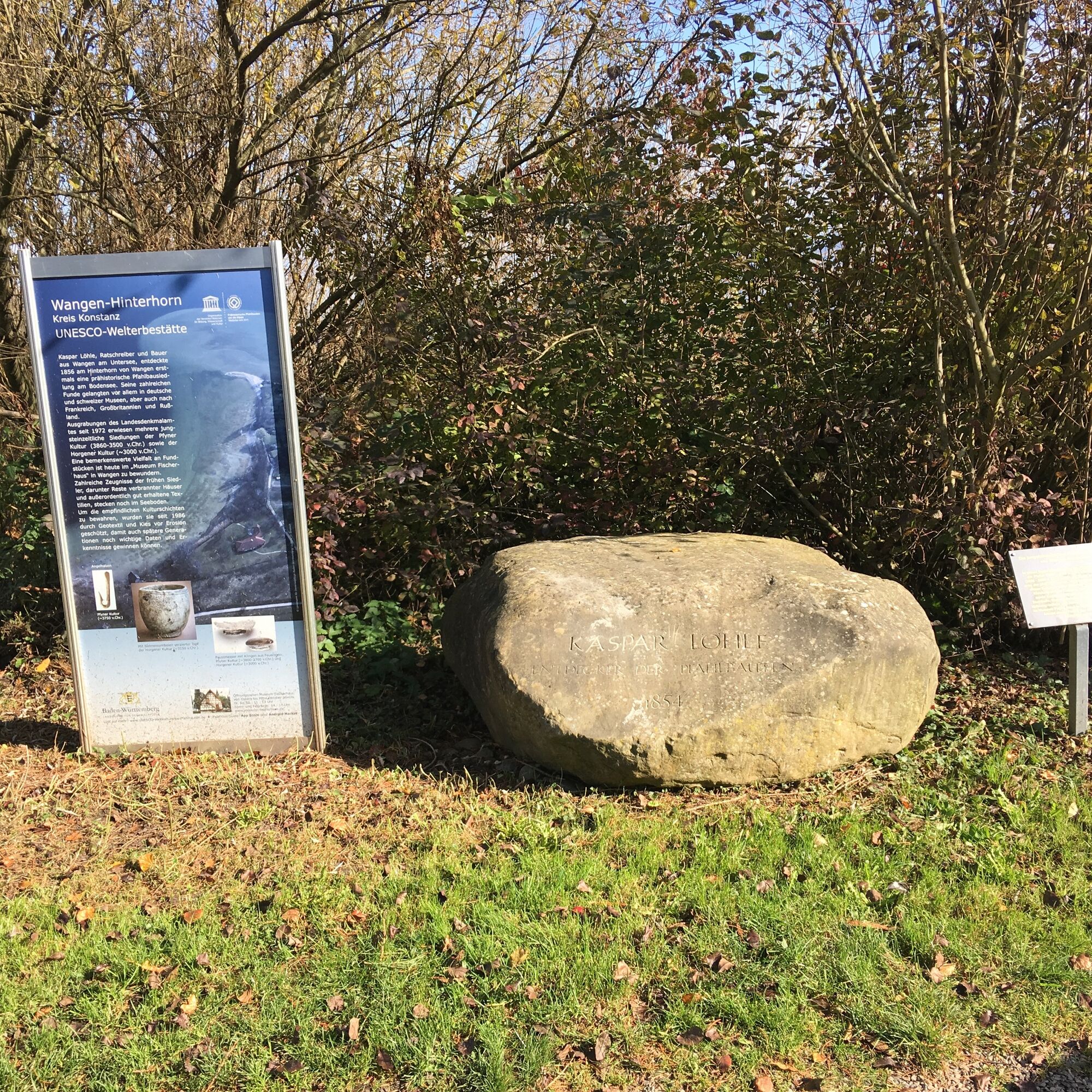

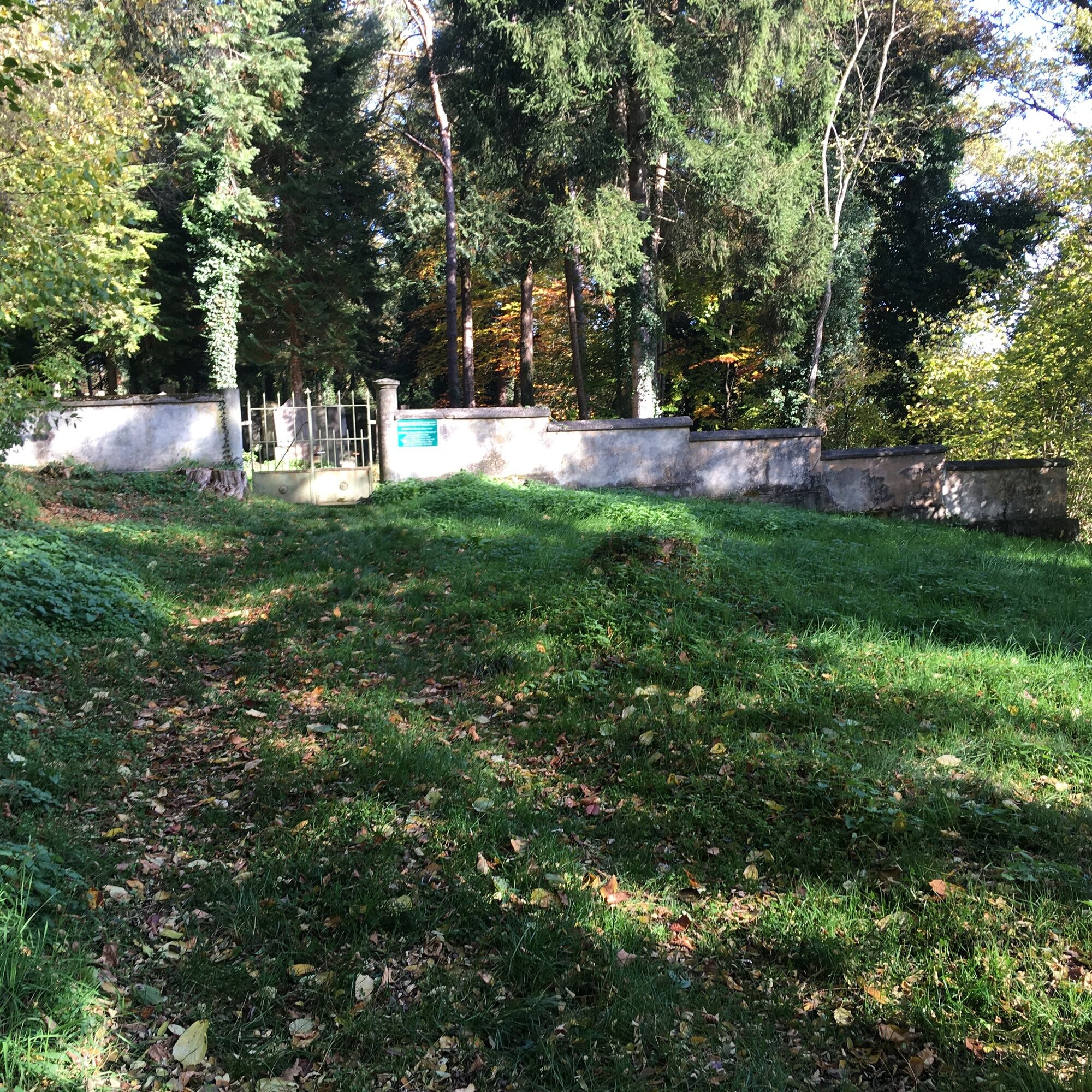
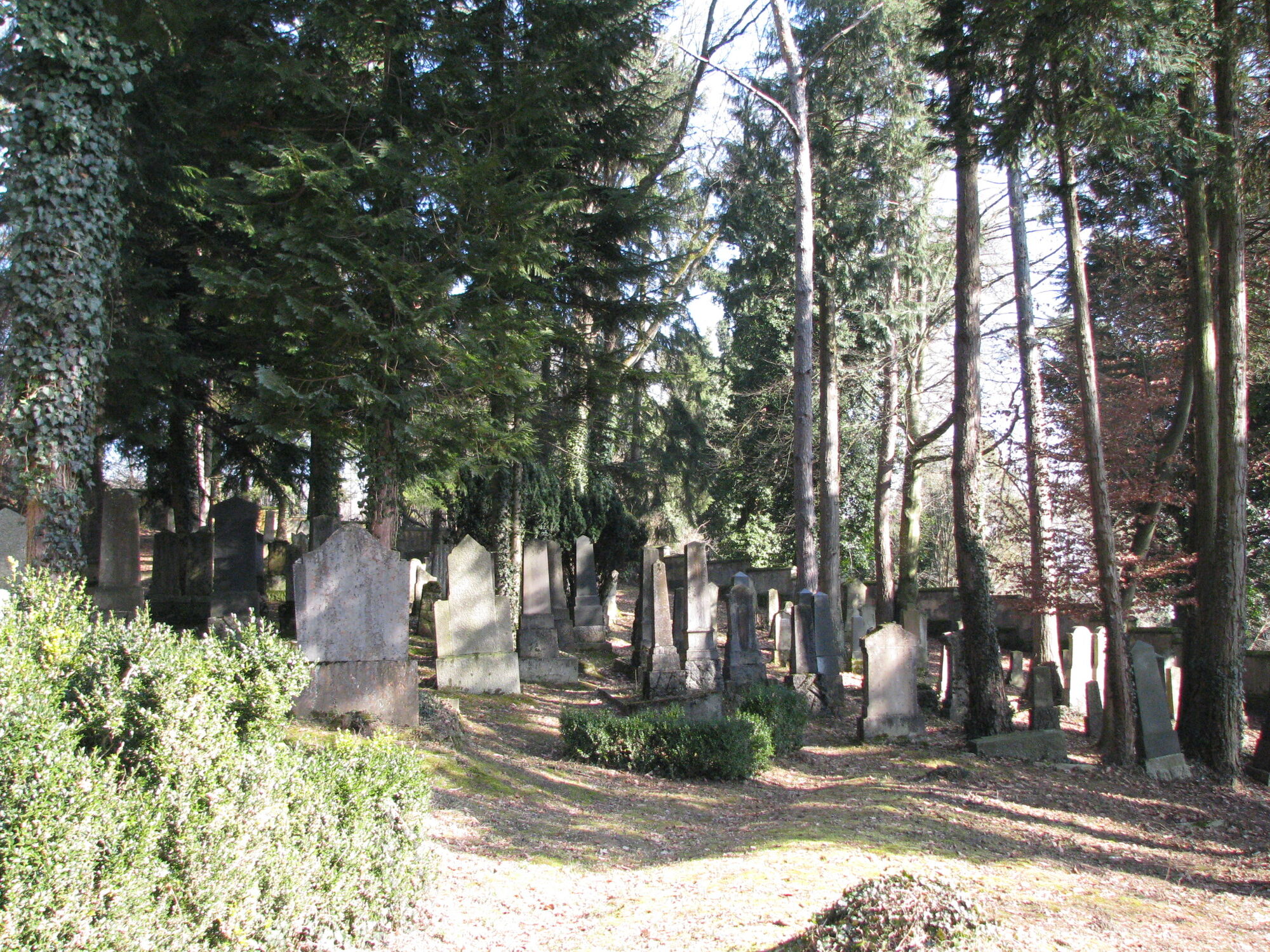
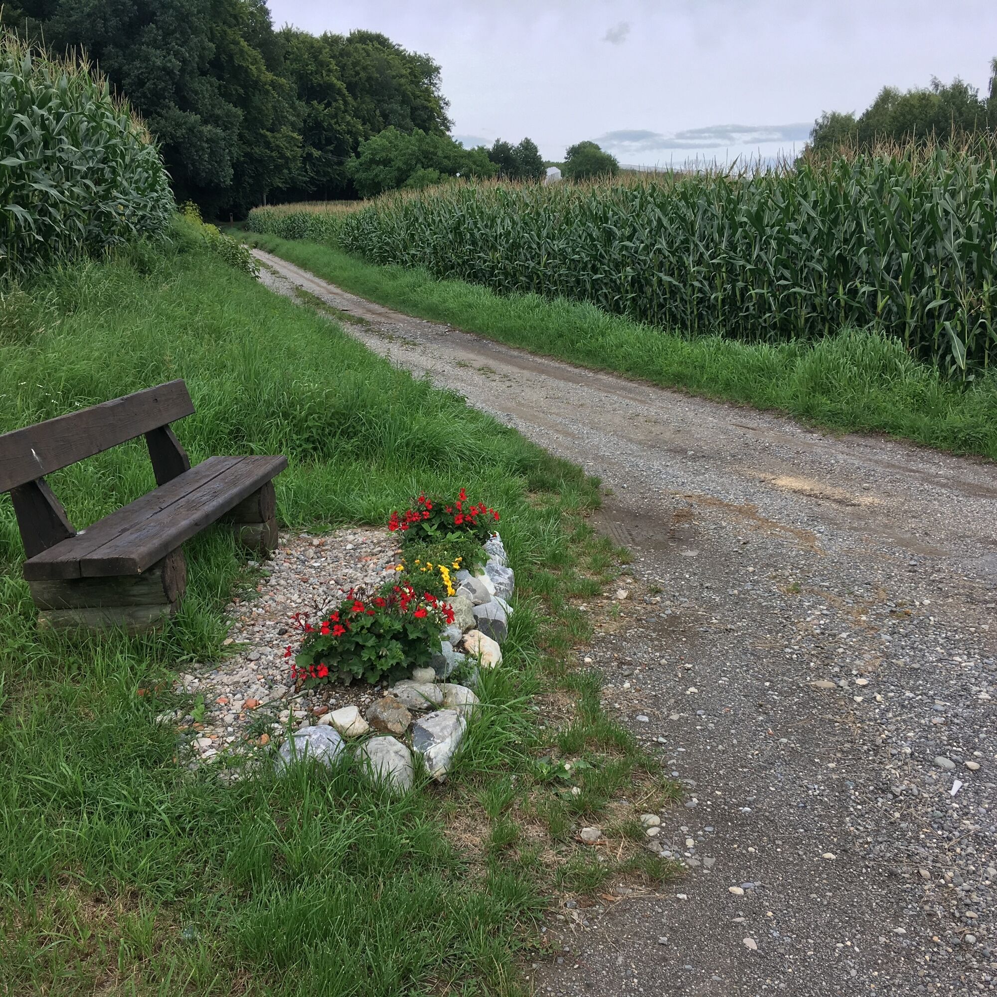
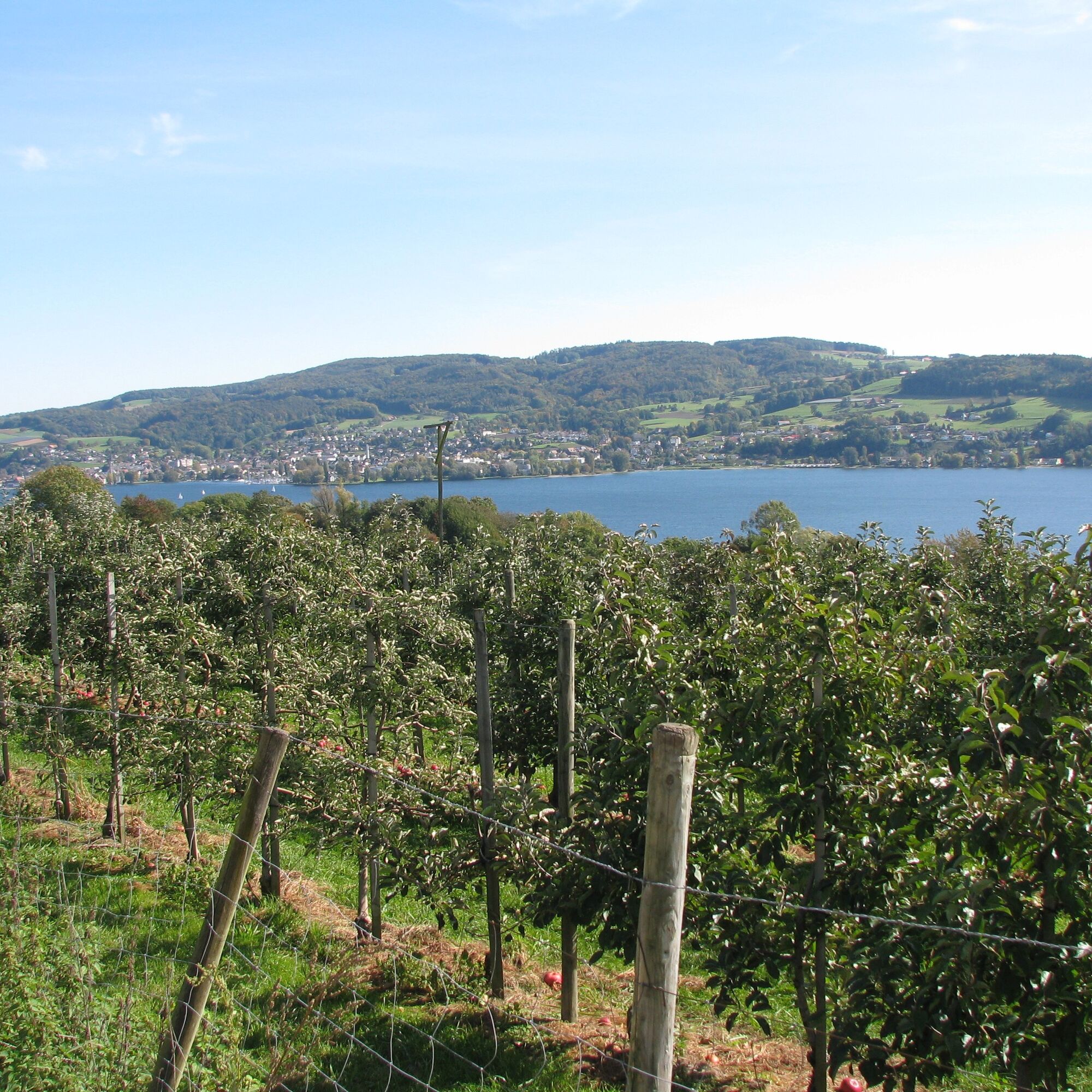
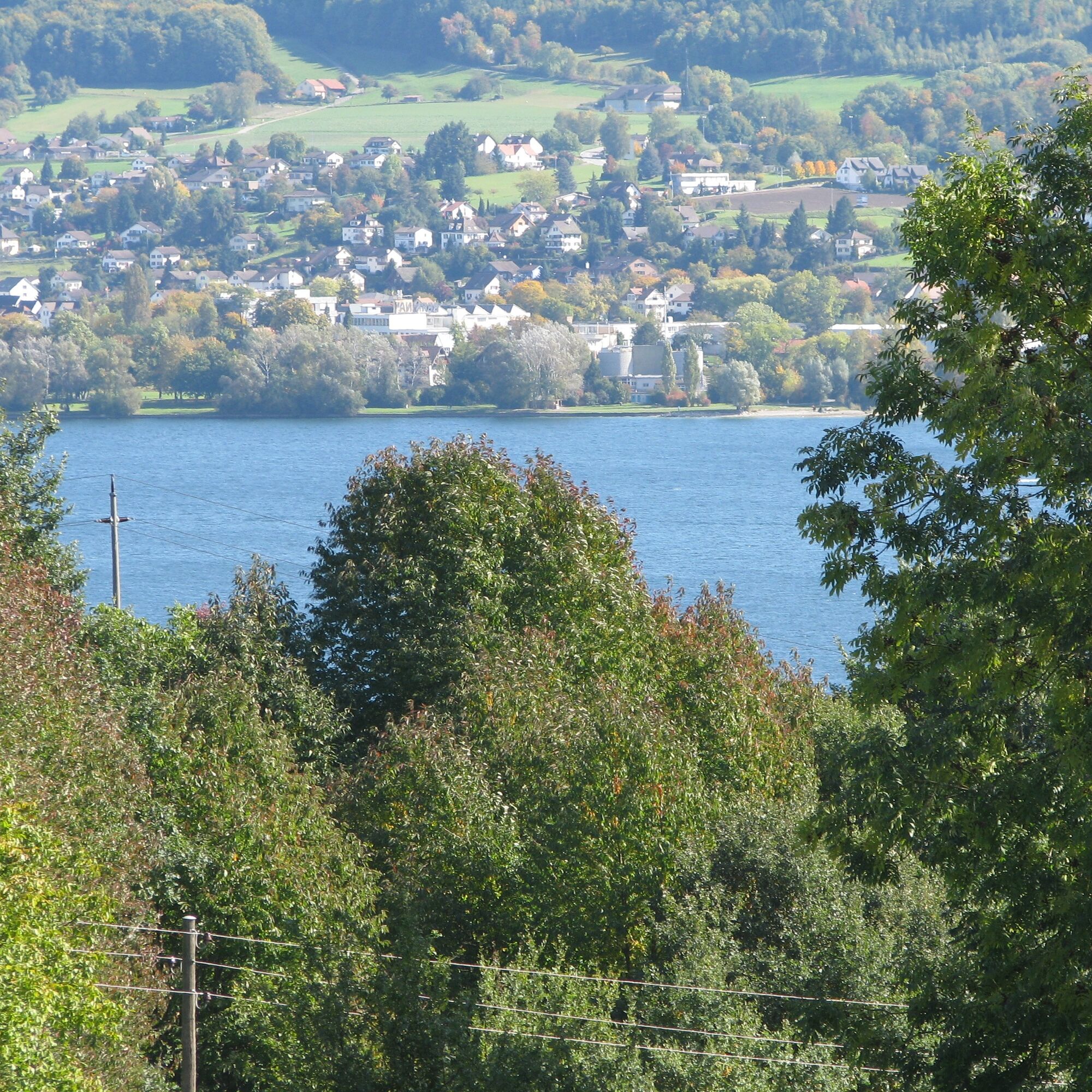
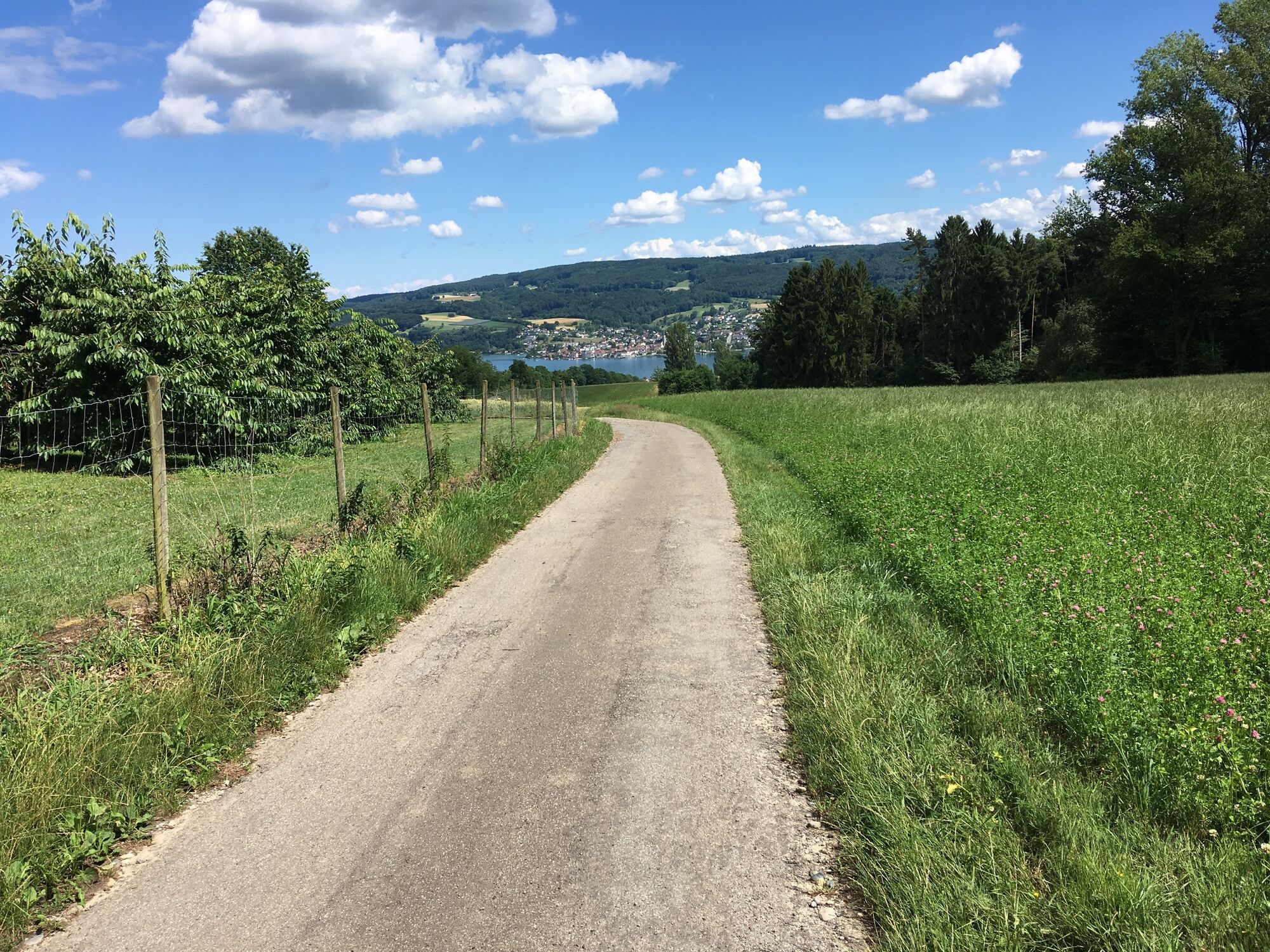


From the Wangen boat dock or the bus stop at the town hall, follow the lakeside path through the campsite to the Hinterhorn. From the Hinterhorn to the Kaspar-Löhle Path to the main road, cross it, and continue to the street in the upper village. Leave it to the left after about 100m heading east and follow the path through the orchards to the end. Cross the Hohlgasse and follow the path to the Jewish cemetery. Taking into account the rules at the entrance, the cemetery can be visited. Shortly before the cemetery wall, the path continues to the Panorama Path, which rightfully bears this name. At the end of the Panorama Path, the upper Hasenweg follows through the forest, at the end of which the view of the lake indicates the further path. At the junction with the main road, there is also a bus stop. Continuing onward, the lake and the Hemmenhofen boat dock follow.
Höribus line stop Öhningen-Wangen (Old Town Hall) or Gaienhofen-Hemmenhofen (Fischersteig)
Boat dock Öhningen Wangen or Gaienhofen-Hemmenhofen (shipping line of the URh)
Visit in Hemmenhofen. The hiking trail passes many places where the painter Otto Dix set up his easel.
Popularne wycieczki w okolicy
-
4,0
Around the island of Reichenau
światłoWędrówka 10,9 km -
5,0
Mindelsee-Runde
światłoWędrówka 7,83 km -
Hike on the panorama route of the Höri Peninsula
średniWędrówka 8,11 km -
4,0
Bodanrück-Runde
ciężkiWędrówka 8,36 km -
4,0
Circular hike Gaienhofen-Middle Höri
średniWędrówka 12,6 km -
3,7
Firstweg Langenmos
średniWędrówka 5,76 km -
4,0
Rundwanderung Liggeringen - Bodman
średniWędrówka 13,0 km -
5,0
Mühlsberg route
średniWędrówka 8,67 km -
Stein am Rhein - Hohenklingen Castle - Stein am Rhein
ciężkiWędrówka 7,79 km -
Nature enjoyment on the circular hiking route with a view of Freudental Castle
światłoWędrówka 5,67 km

Wędrówki i tropienie


Nie przegap ofert i inspiracji na następne wakacje
Twój adres e-mail została dodana do listy mailingowej.