






Baiersbronn Sky Route: altitude route
Poziom trudności: T2
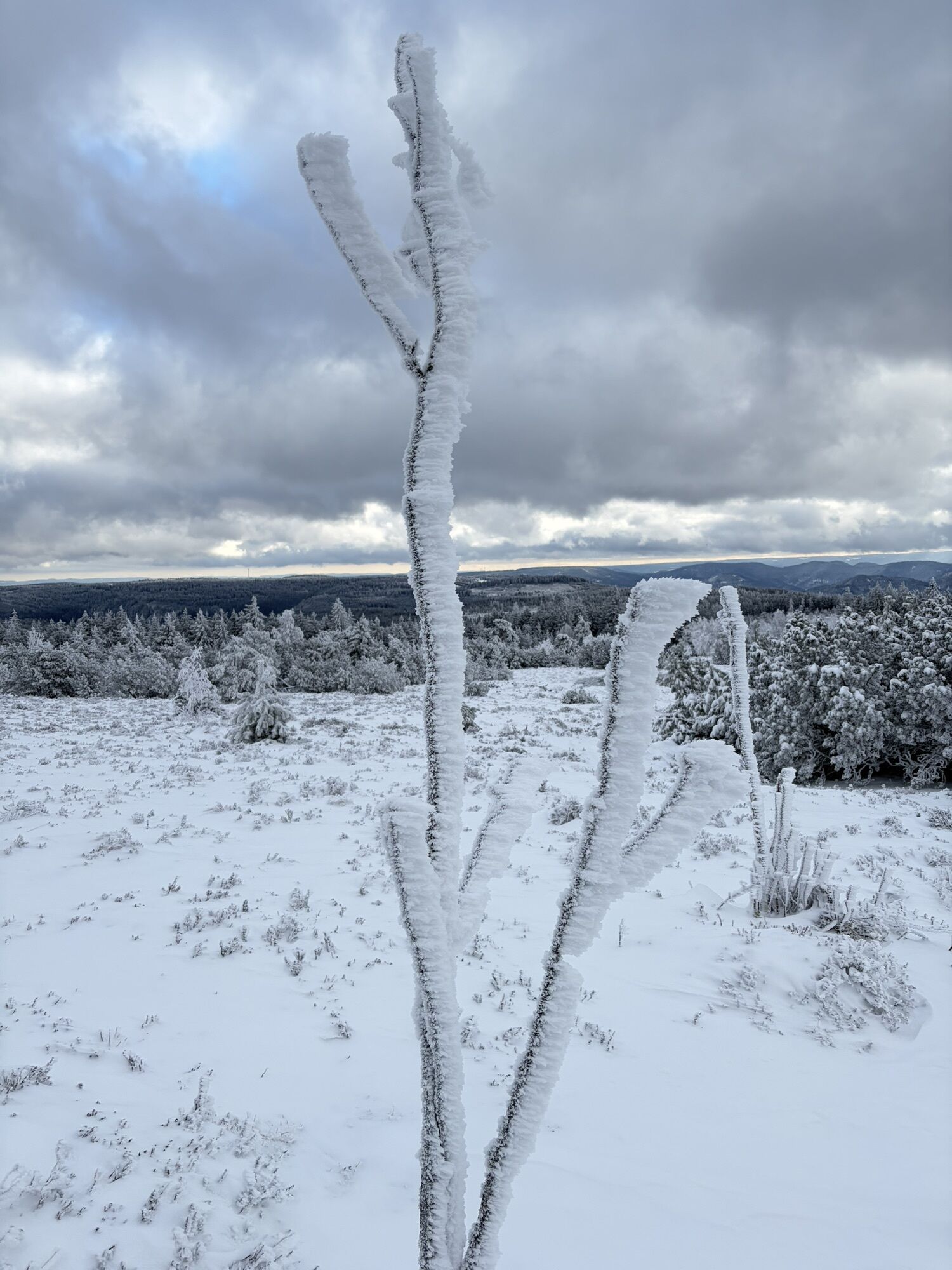
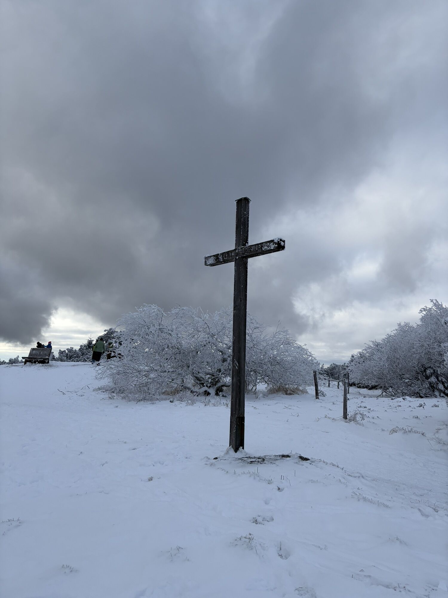
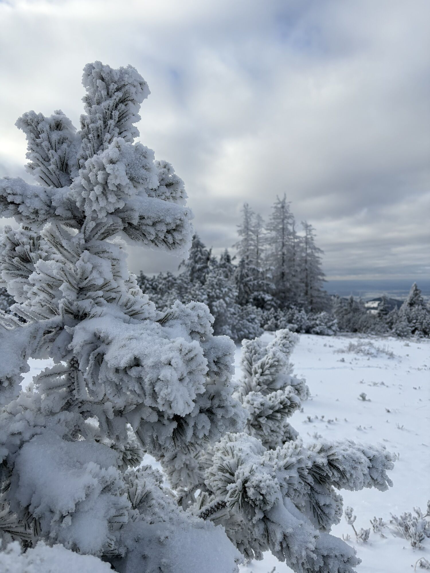

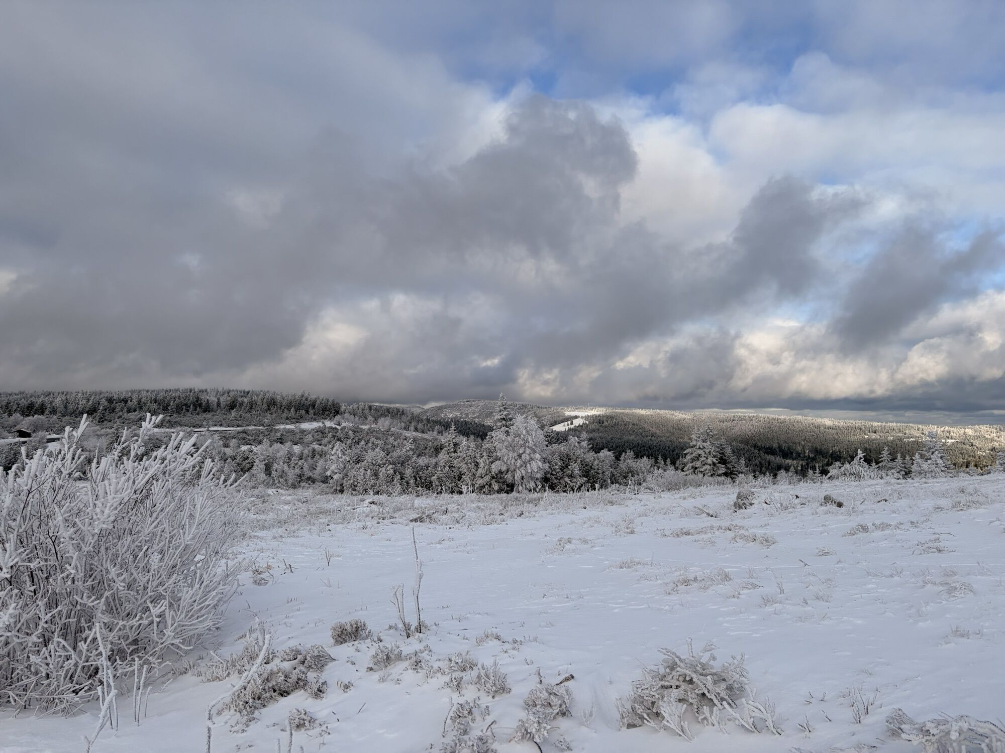
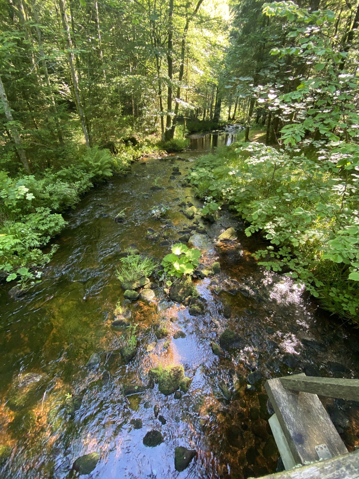
At the beginning, the hiker follows the gently ascending path past the locations Spaltbächle and Hahnenmisse. This is followed by one of the highlights of the day: the Lothar path. On an approximately...
At the beginning, the hiker follows the gently ascending path past the locations Spaltbächle and Hahnenmisse. This is followed by one of the highlights of the day: the Lothar path. On an approximately 900-meter-long adventure trail in the middle of a storm damage area caused by Storm Lothar in 1999, the hiker is offered fascinating insights and views into the forces prevailing during a storm and the strategies of nature to cope with the effects themselves. The further route follows the Westweg. On this section of the path, one is rewarded with magnificent views into the lower-lying Rhine Valley. As a halfway resting station, the Schliffkopf Wellness and Nature Hotel can be reached with a small detour. Via the locations Red Schliff and Hanger, it goes back to Obertal.

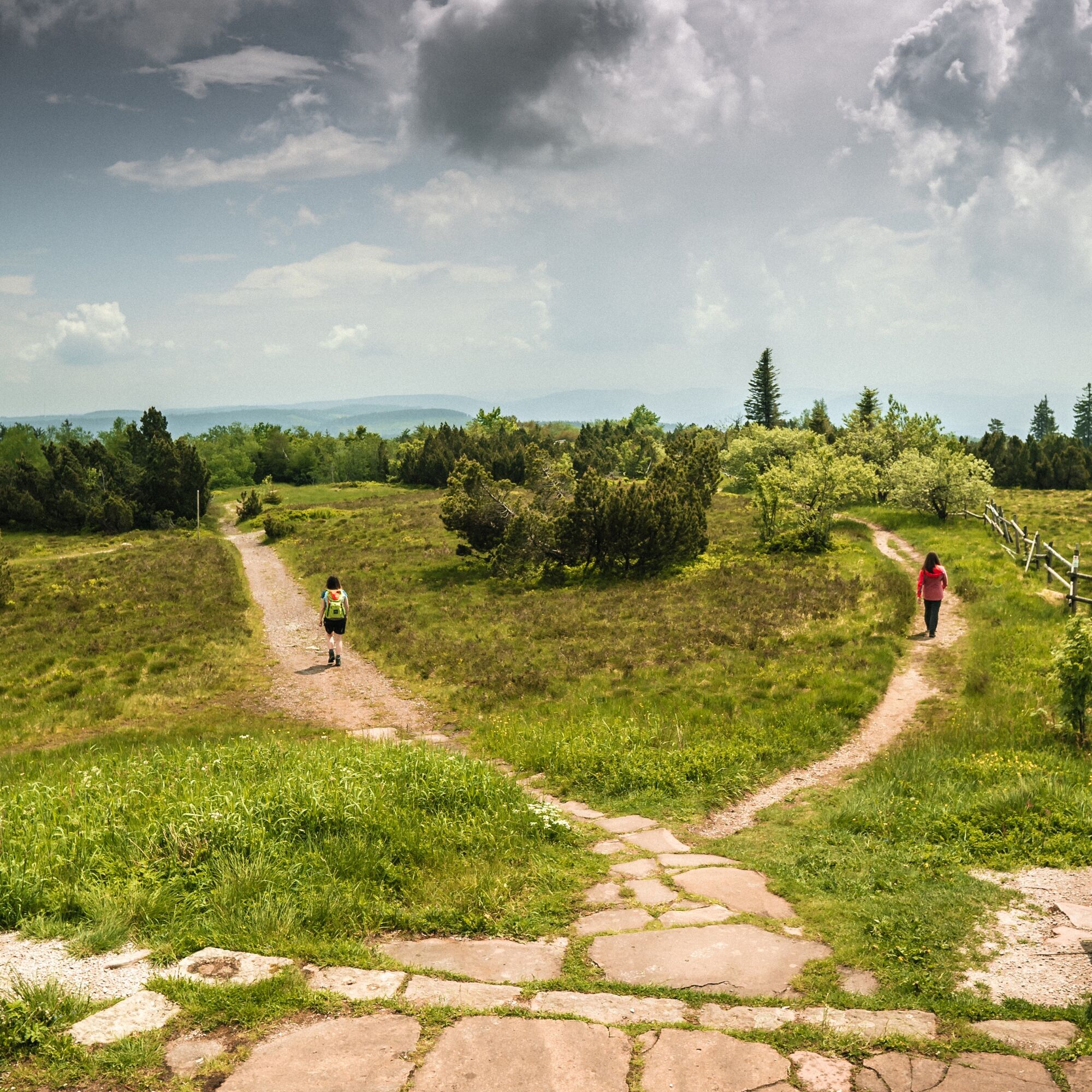
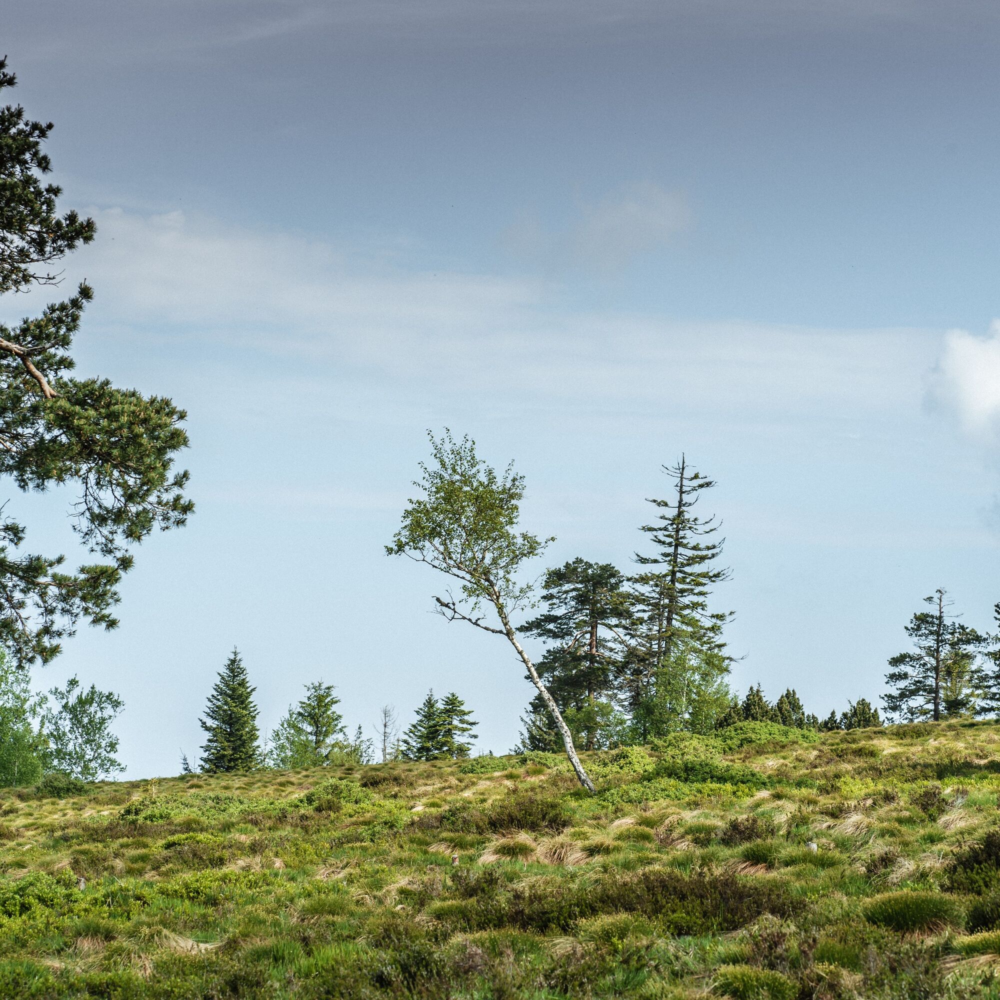
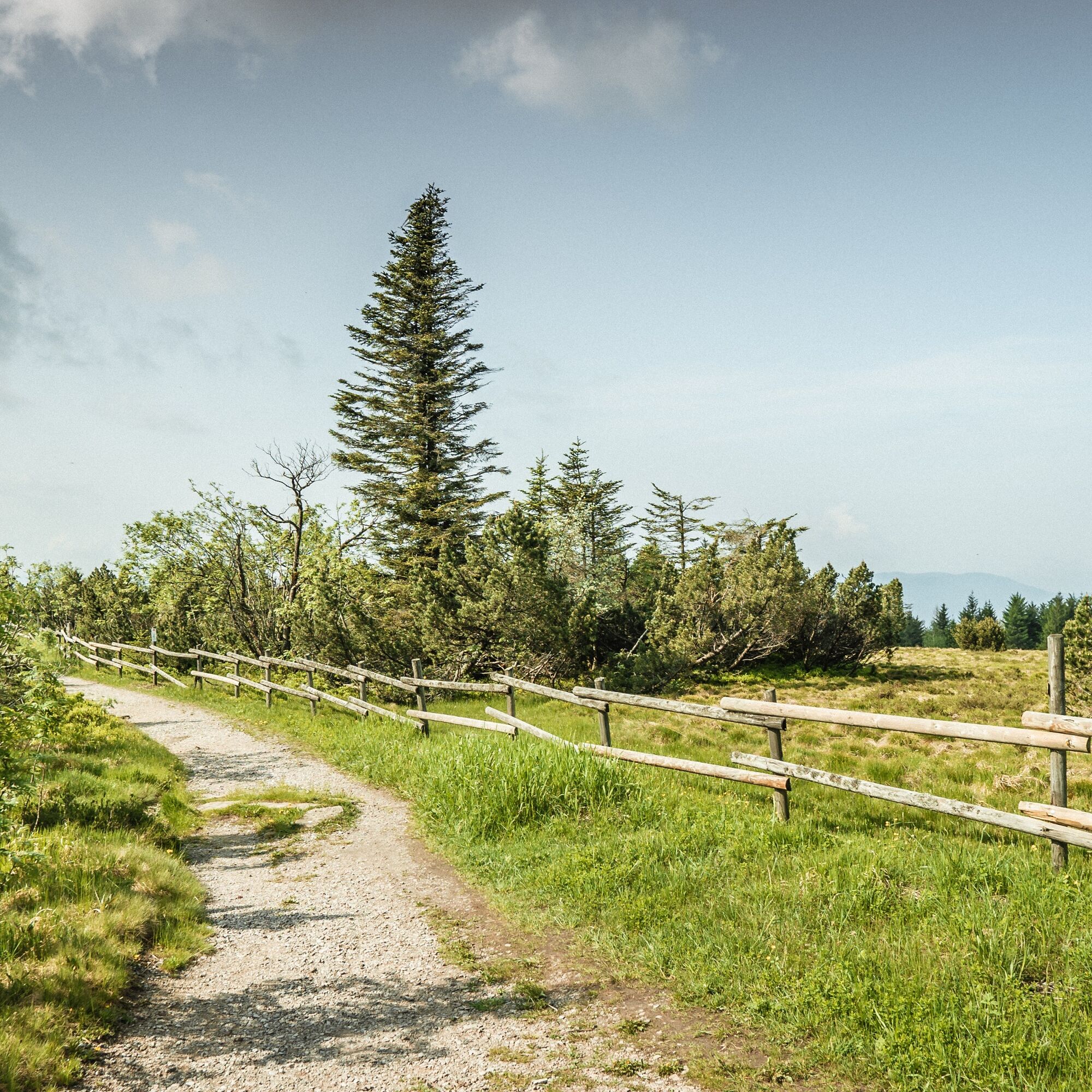
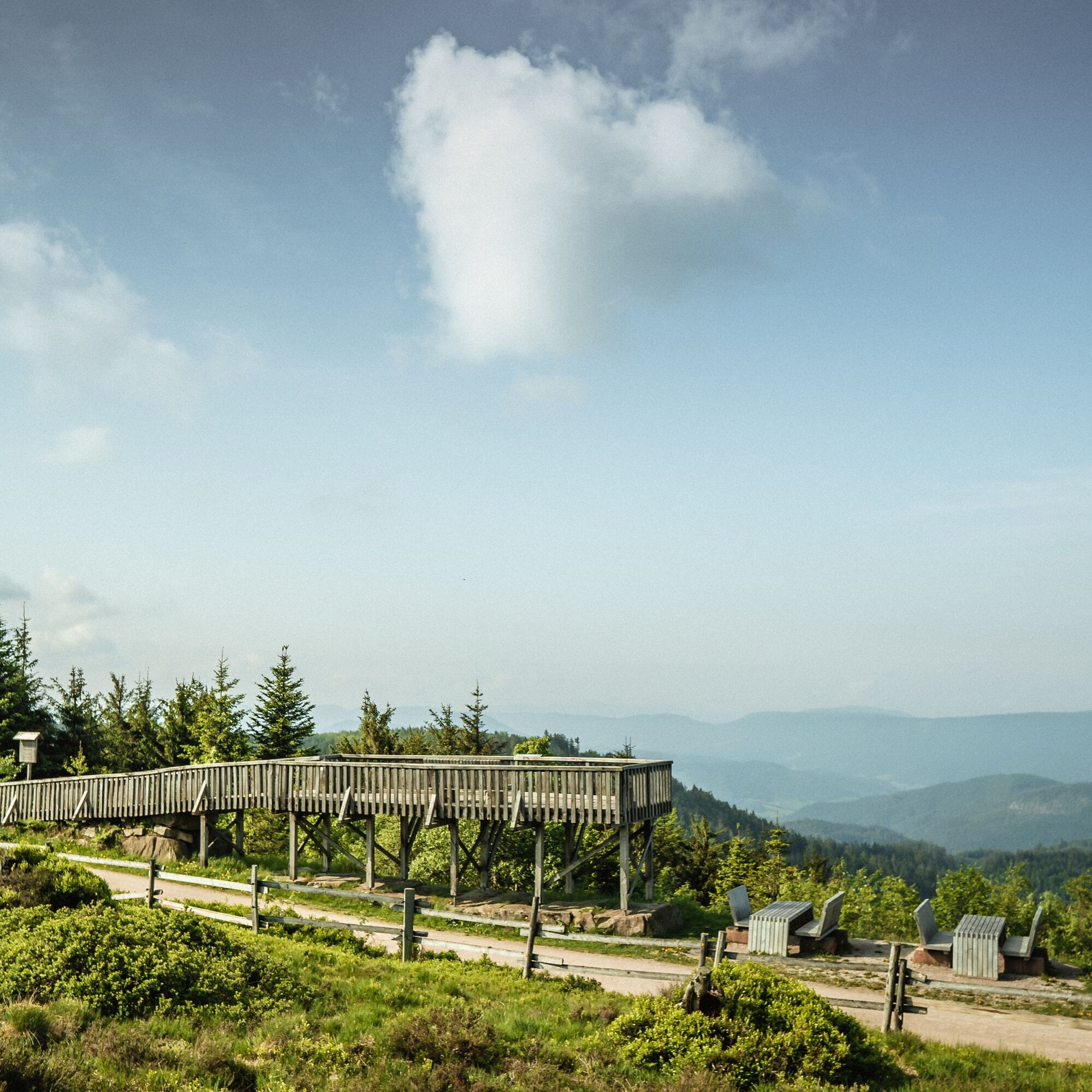

The path is signposted as one of the Baiersbronn Sky Routes with a stylized mountain panorama as the trail marker.
Sequence of locations: Obertal parking lot - spa garden - Scharrain - pond - tennis courts - larch hut - Spaltbächle - Hahnenmisse - Buhlbacher camp - Lothar path - Haferrütterank - Schwabenrank - Steinmäuerle information board - Steinmäuerle - Schliffkopf - pretty place - red Schliff - Binsenhütte - hanger - Röhrsbächle - Rotmurg - Obertal parking lot
Tak
Tak
Sturdy footwear, rain jacket and drinks are recommended
The hiking information center also offers hiking poles and backpacks for rent. More information at www.baiersbronn.de/verleih
Please check in advance at the current path closures or at the Baiersbronn hiking information center whether the route is open. Tel.: +49 7442 8414-66.
Please note:
There are seasonal winter closures and species protection closures (capercaillie) in the Black Forest National Park.
Information on path closures in the national park can be found here.
There is no detour during this period!
From Baiersbronn towards Black Forest High Road
Parking lot at the fire station opposite the tourist information Obertal and Hotel Adler Obertal
T2
In Buhlbach, a detour to the Glashütte Buhlbach cultural park, a journey through time made of wood and glass, is worthwhile.
A bit wilder – the Black Forest National Park
Baden-Württemberg's first national park stretches along the Black Forest High Road on the heights between Plättig and Alexanderschanze. By 2044, the conditions should be set for nature to develop completely freely over three quarters of the 10,062 hectare protected area. Visitors to the park have the chance to observe and experience wilderness, rare animal and plant species, and largely undisturbed natural processes.
www.schwarzwald-nationalpark.de
Kamery internetowe z trasy
Uzyskaj wgląd Zawsze na żywo z ponad 9 500 kamer internetowych. bergfex Jako użytkownik Pro, możesz teraz zobaczyć odpowiednie kamery internetowe dla wielu wycieczek w aplikacji wycieczki od. Pozwala to na bezpośredni podgląd aktualnych warunków. 
Popularne wycieczki w okolicy
- 4,7
Kniebiser Heimatpfad - Wandern mit Genuss
światłoWędrówka 9,07 km - 5,0
Ottenhöfen - Eichkopf - Karlsruher Grat
średniWędrówka 13,7 km - 3,9
Schnapsbrunnenweg 2
średniWędrówka 12,8 km - 4,0
Sankenbachwasserfälle und Glasmännlehütte am Stöckerkopf
średniWędrówka 12,8 km - 5,0
Naturgewalten-Tour
Wędrówka 15,6 km - 5,0
Bannwald-Tour
Wędrówka 13,3 km - 4,5
Schnapsbrunnenweg 1
światłoWędrówka 7,45 km - 4,8
Bad Peterstal-Griesbach - Himmelssteig für "Höhenverliebte"
ciężkiWędrówka 10,3 km - 4,5
Bad Rippoldsau - Cafe & Restaurant Zum Schlüssel - Klösterle - Burgbachwasserfall
średniWędrówka 11,2 km - 5,0
Kniebis-Sankenbachwasserfälle-Sankenbachsee
średniWędrówka 7,98 km
Wędrówki i tropienie


Nie przegap ofert i inspiracji na następne wakacje
Twój adres e-mail została dodana do listy mailingowej.





