


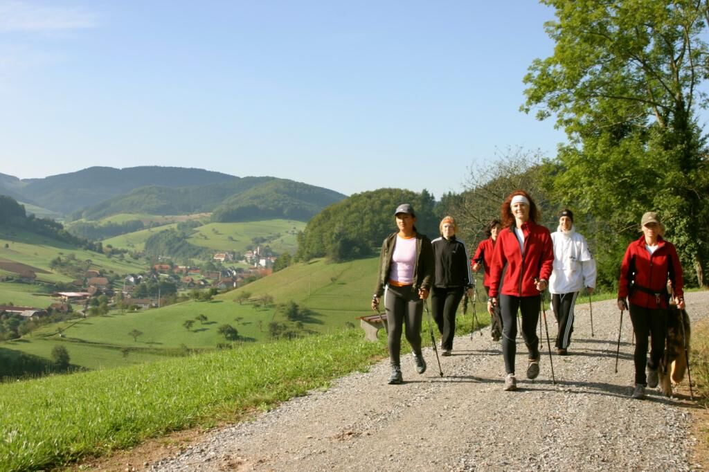
Around the Flachenberg
Poziom trudności: T2
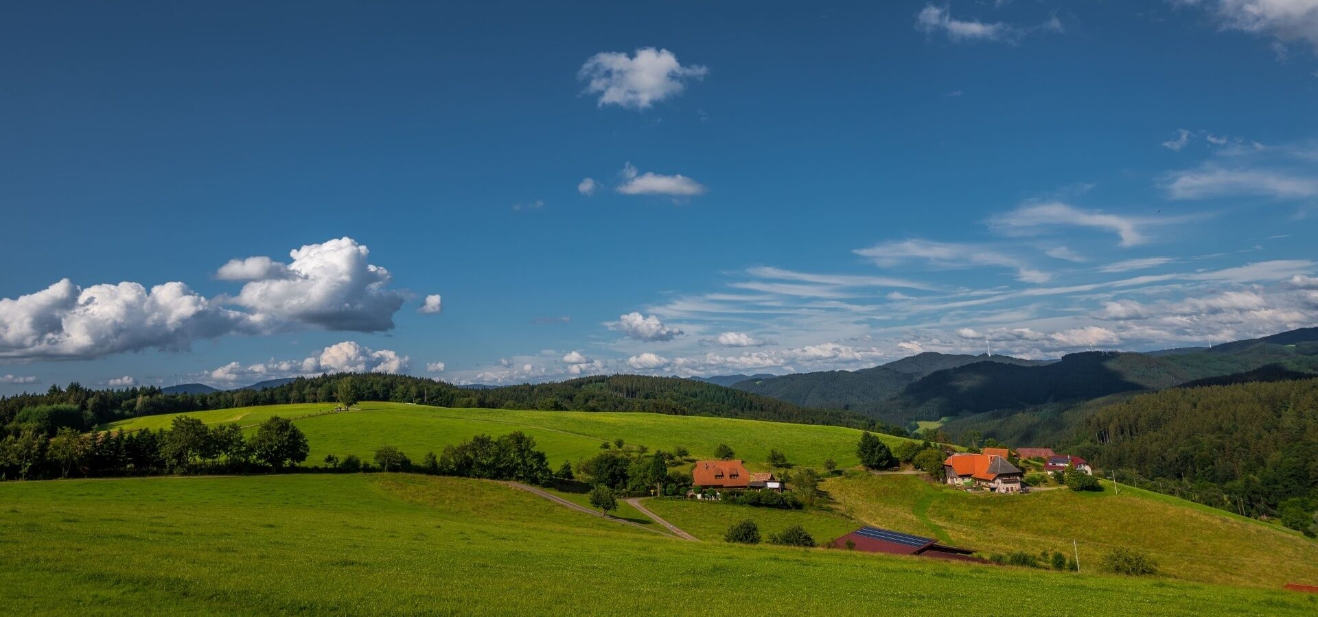
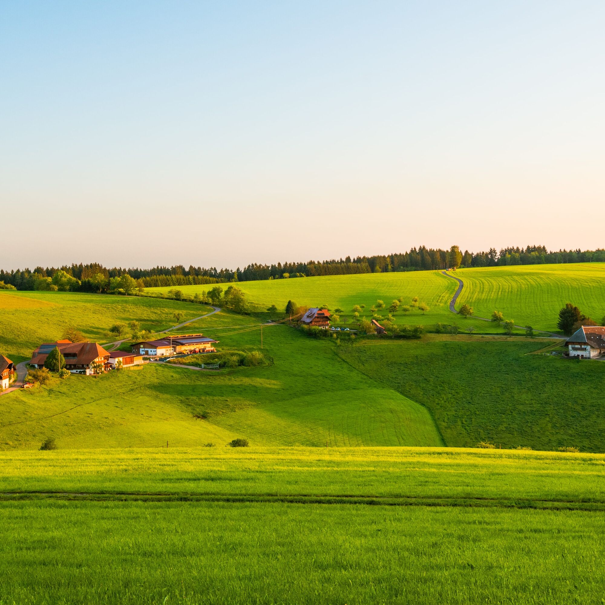
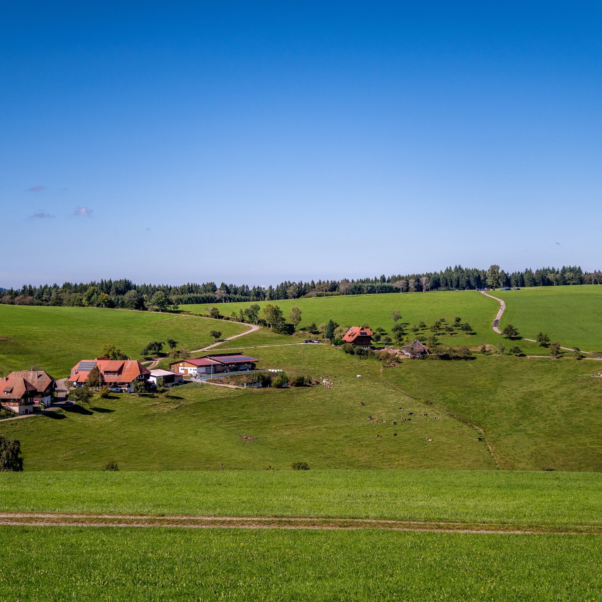
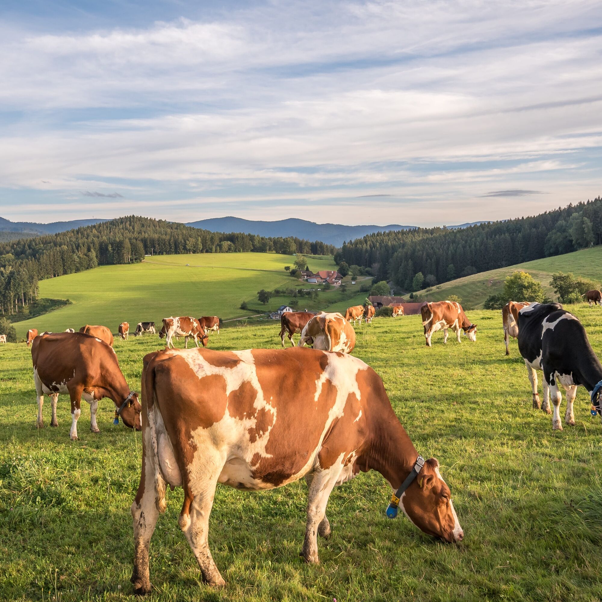
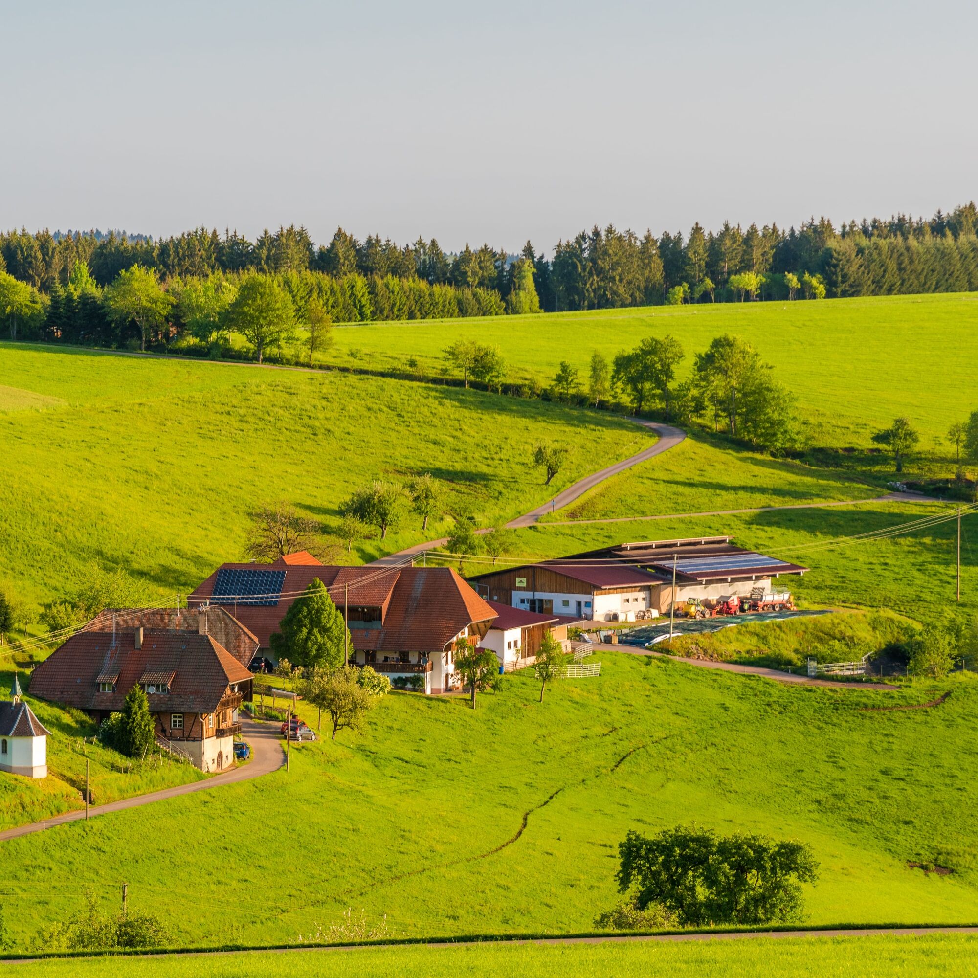
Only the middle section of this elevation route from the starting point Heidburg gains altitude. The beginning up to the "Flachenberg" lives up to the route's name. The final stage from Schneckenberg to...
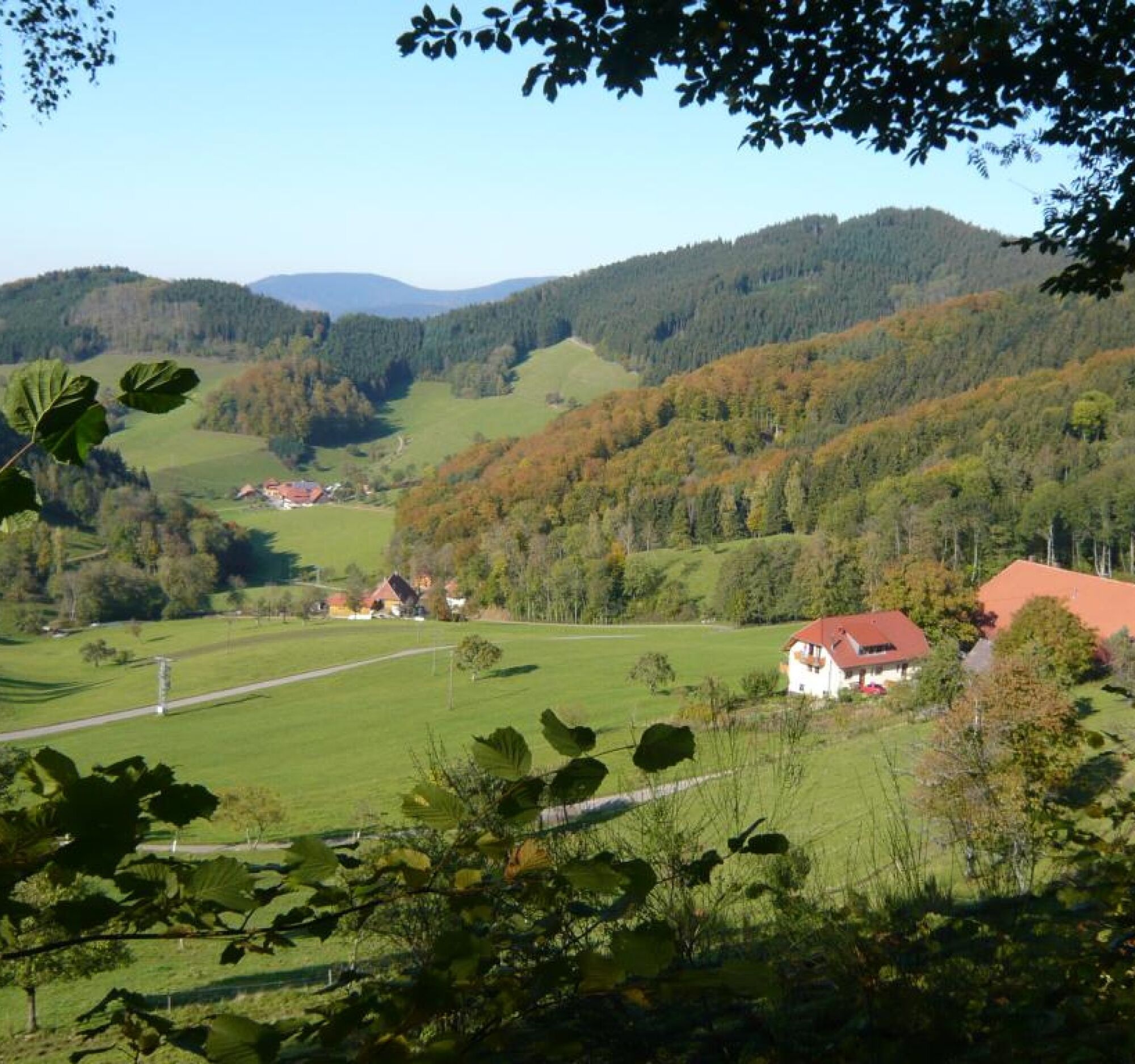
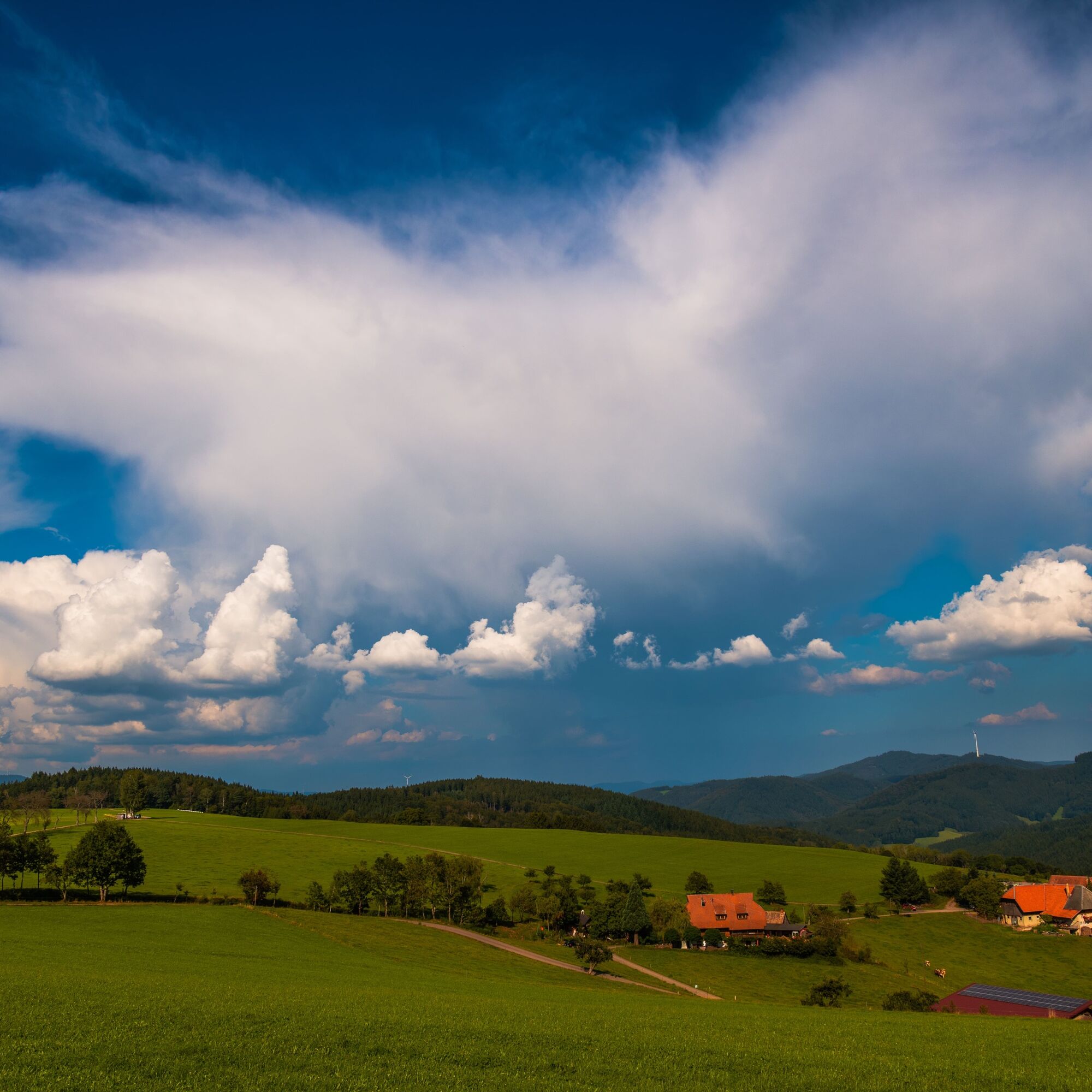
Only the middle section of this elevation route from the starting point Heidburg gains altitude. The beginning up to the "Flachenberg" lives up to the route's name. The final stage from Schneckenberg to the starting point follows the forest edge. This moderate route impresses with extensive panoramic views at Flachenberg and Schneckenberg.

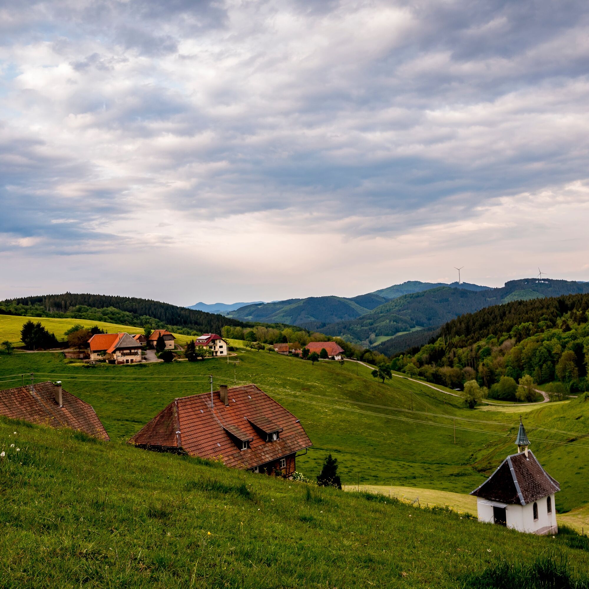
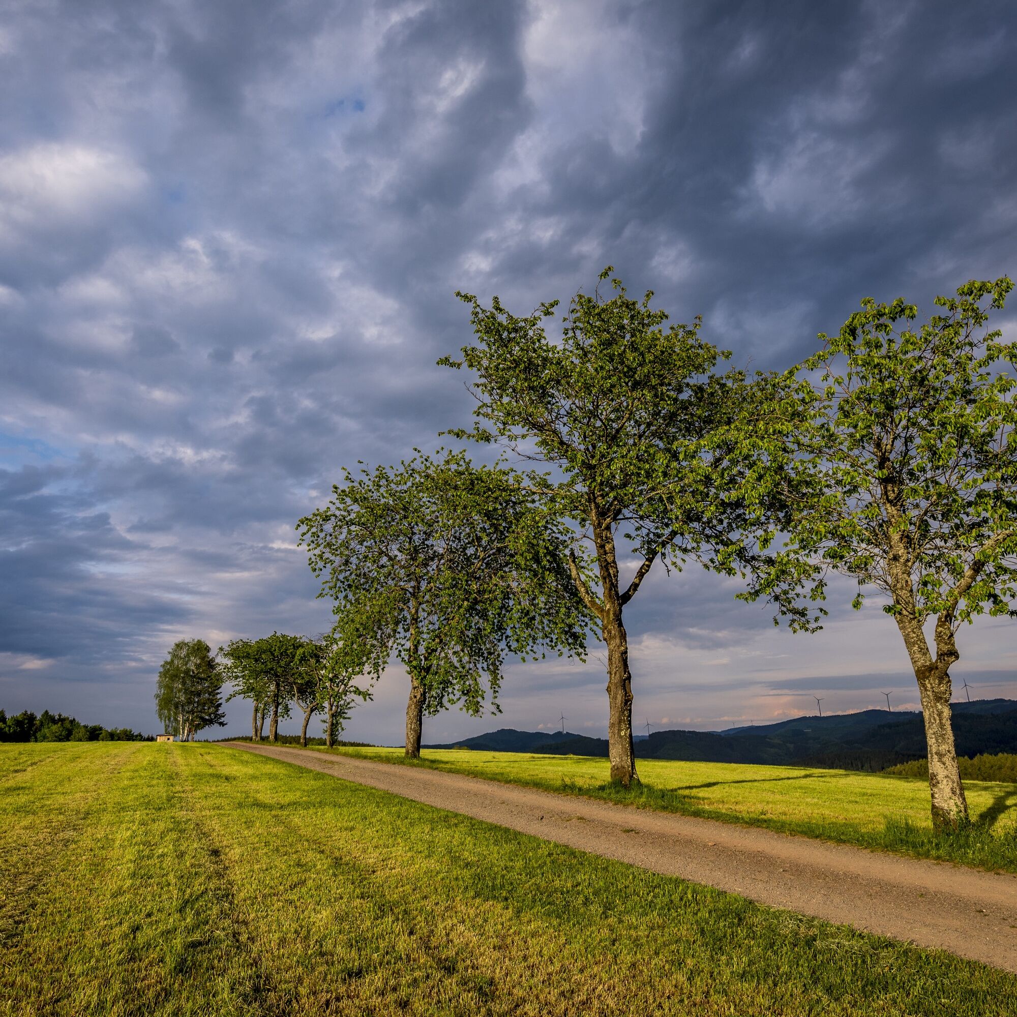
Also well suited as a comfortable family route with the "little ones"!
Tak
L294 towards Elzach up to the Heidenacker junction
Get off at Heidburg
Hiking parking lot Heidburg
T2
Um an den Startpunkt zu gelangen, eignet sich die Buslinie 1066 von Haslach oder Elzach kommend. Den Ausstieg empfehlen wir auf der Heidburg.
Popularne wycieczki w okolicy
- 4,8
Ortenau legend circular routes: Devil's Pulpit
średniWędrówka 10,2 km - 4,3
Paradiessteig Hofstetten
średniWędrówka 12,8 km - 4,5
Genießerpfad - U(h)rwaldpfad Rohrhardsberg
średniTrasa tematyczna 8,72 km - 4,7
Waldsee circular route to the Urenkopf tower
średniWędrówka 7,30 km - 4,0
Over the Blindensee lake to Wilhelmshöhe
średniWędrówka 16,0 km - 5,0
Wolfach settlers' loop large round
średniWędrówka 9,04 km - 4,4
Simonswald - Haslachsimonswald - Mittelhaslach - Hugenhof
światłoWędrówka 10,1 km - 4,5
Sontagstour
światłoWędrówka 11,8 km Westweg - Westvariante
ciężkidługodystansowy szlak pieszy 288,8 km- 5,0
Gemütliche Runde ab Wanderparkplatz Pfingsteck, Freiamt
światłoWędrówka 4,62 km
Wędrówki i tropienie


Nie przegap ofert i inspiracji na następne wakacje
Twój adres e-mail została dodana do listy mailingowej.