






Farrenkopf route

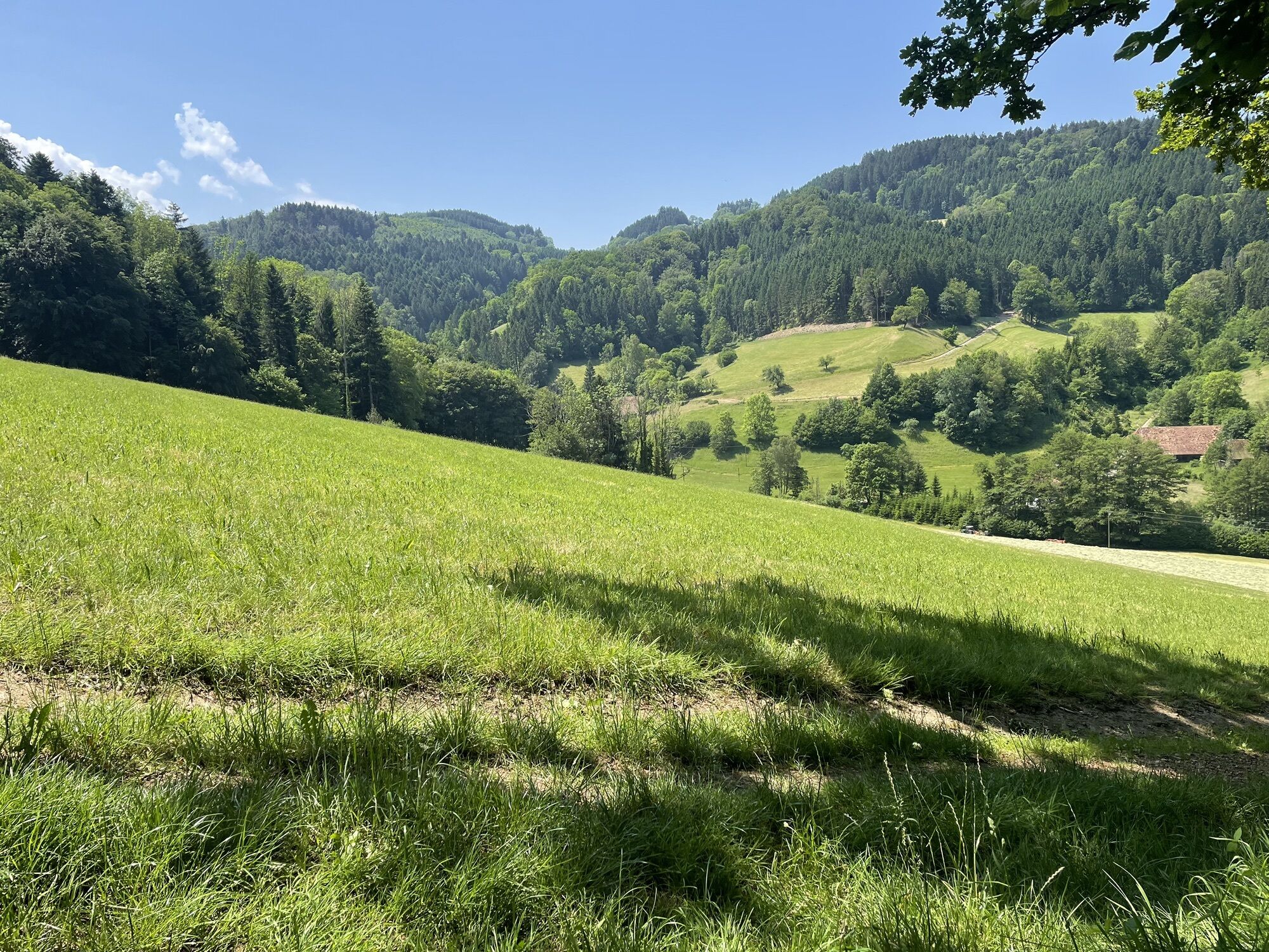
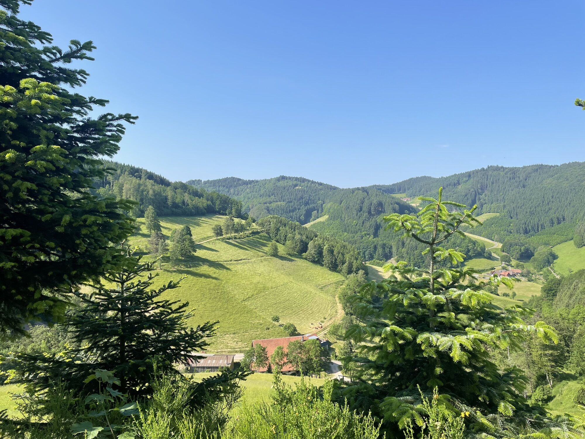
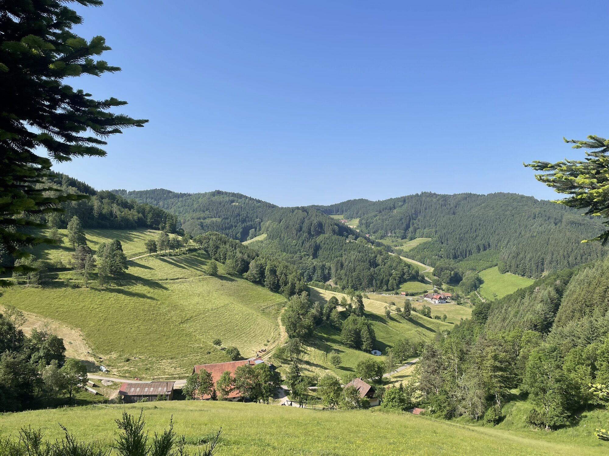
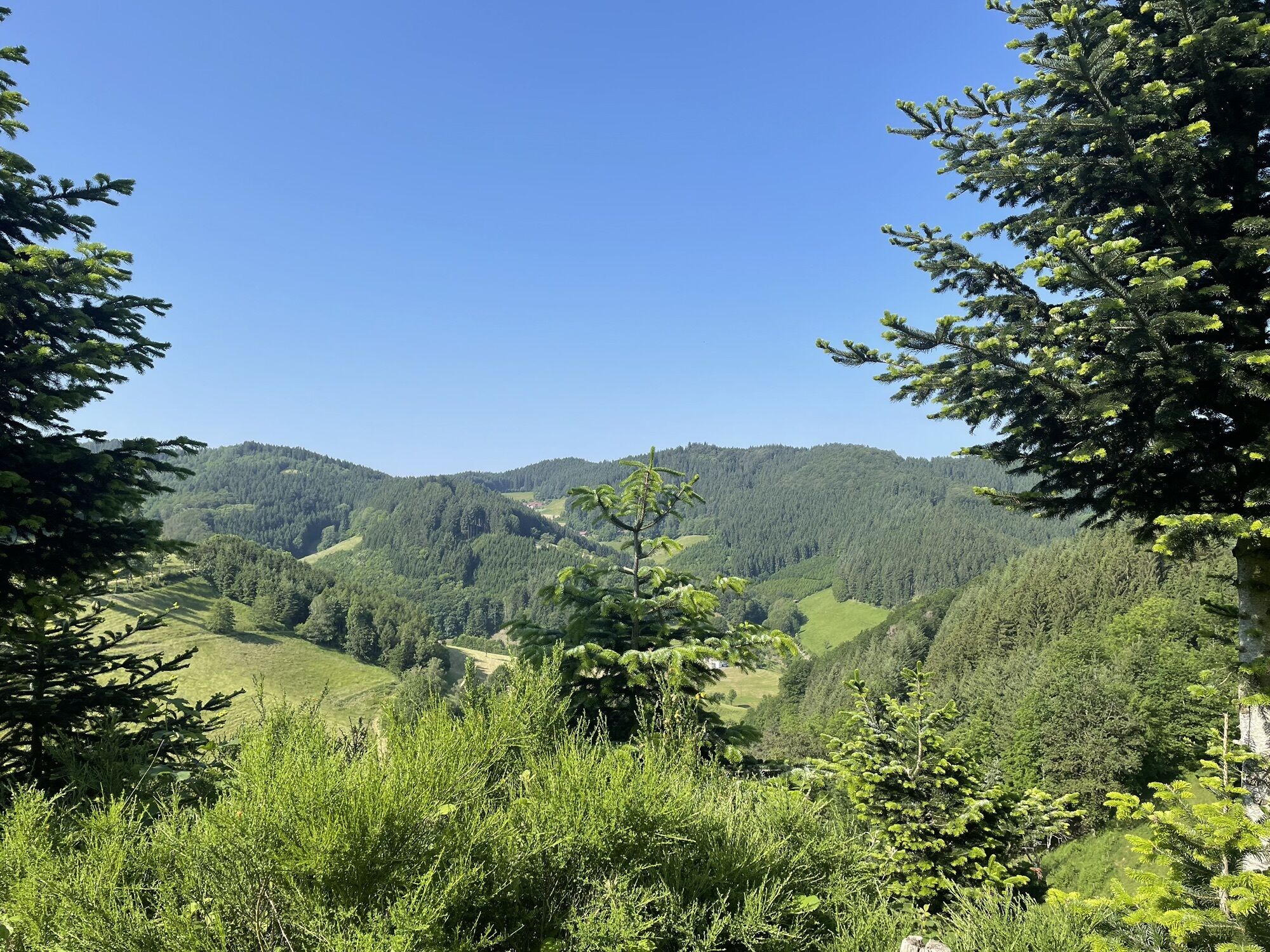
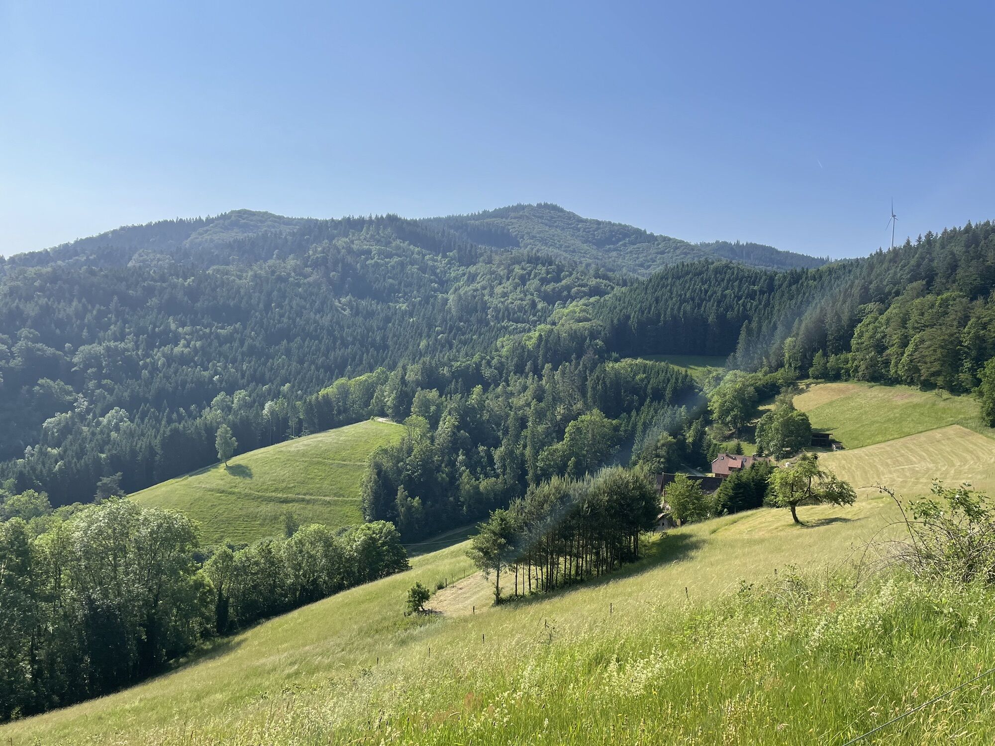
The Farrenkopf route is identical to the Haseneckle route from the starting point at the water treading basin to the Haseneckle. From there, the route follows the famous Westweg with a steep ascent over...
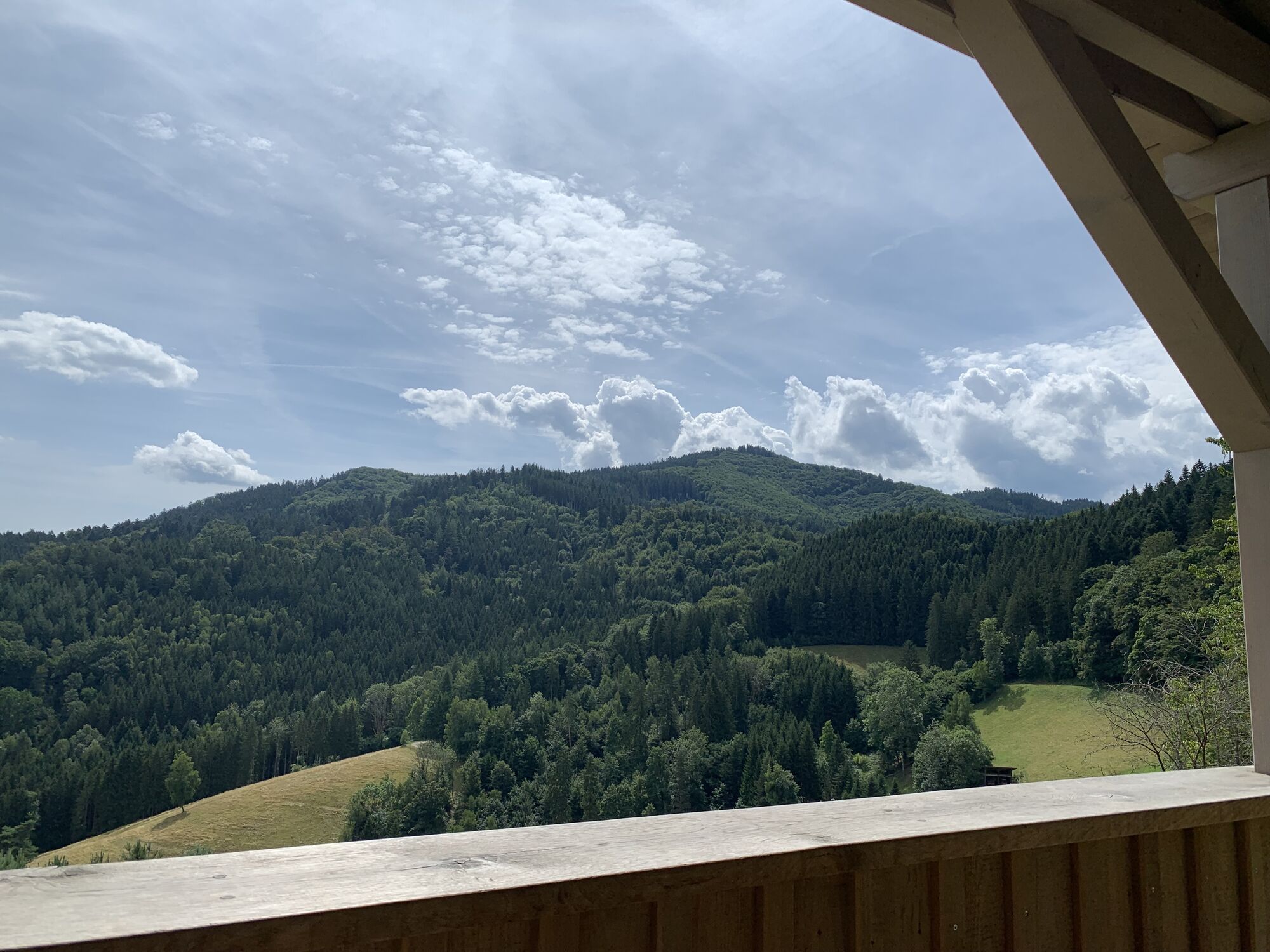
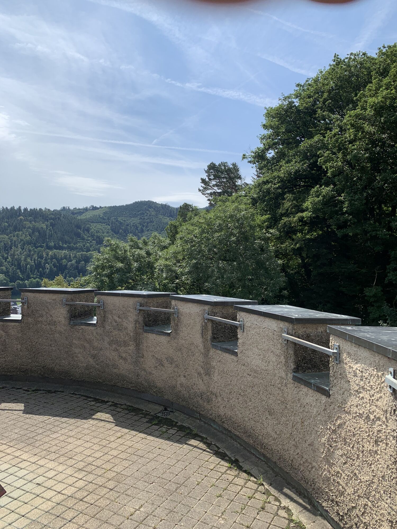
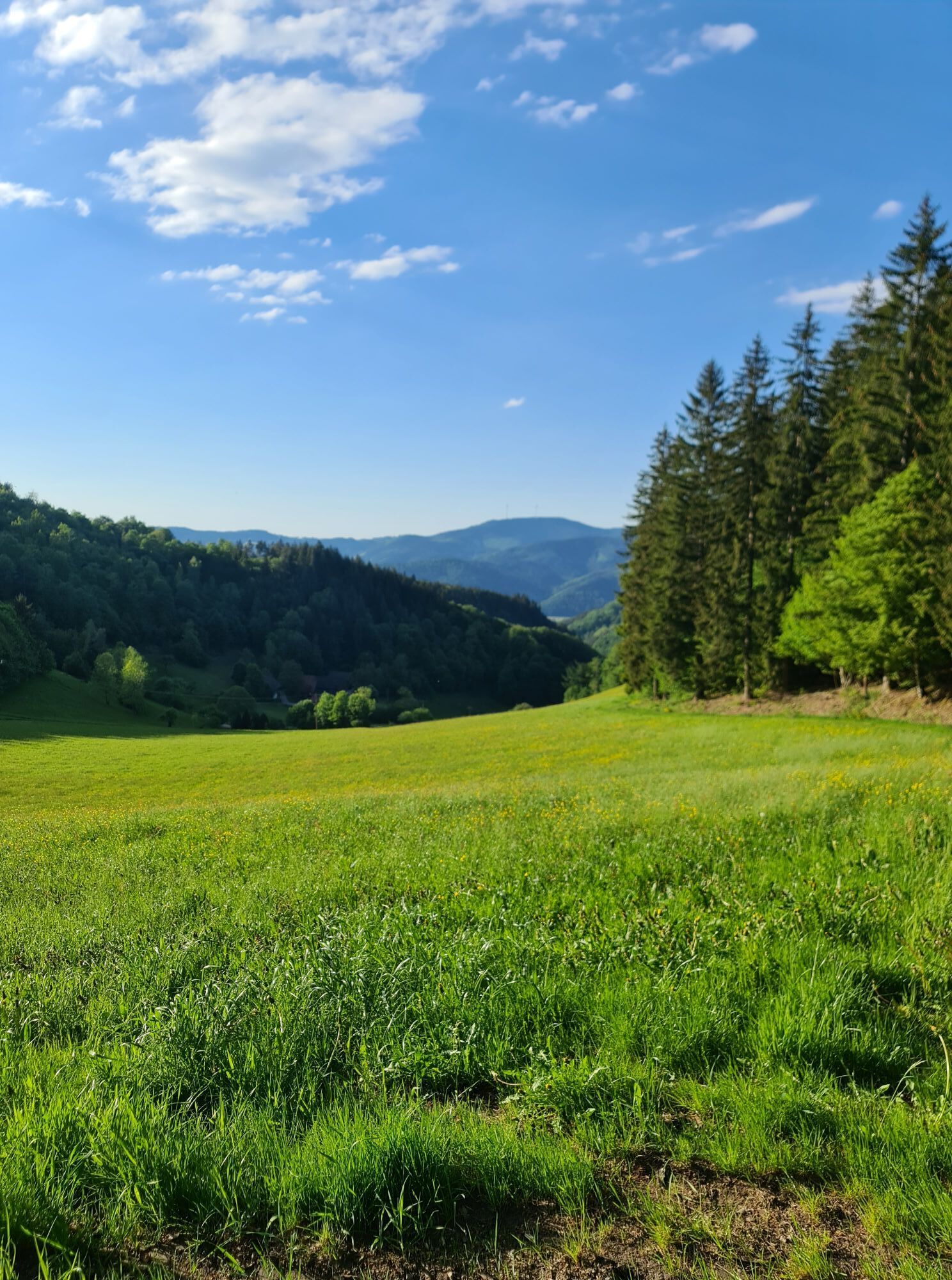
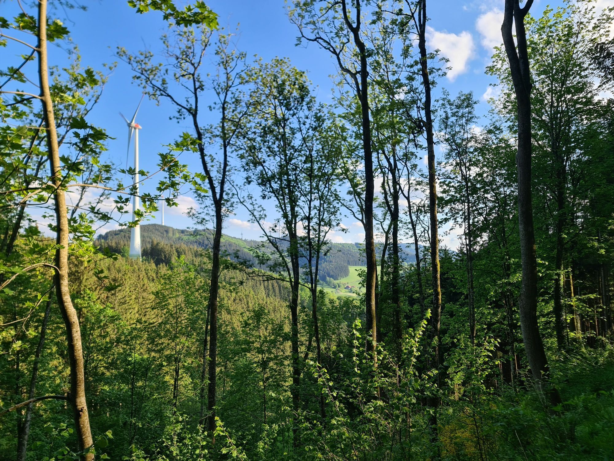
The Farrenkopf route is identical to the Haseneckle route from the starting point at the water treading basin to the Haseneckle. From there, the route follows the famous Westweg with a steep ascent over the Farrenkopf up to the Schorenkopf. The descending return path leads over Schmieder's Cross towards Reutengrund and back to the Haseneckle route. One of the difficult sections of the Nordic-Walking Arena Hospitable Kinzigtal.

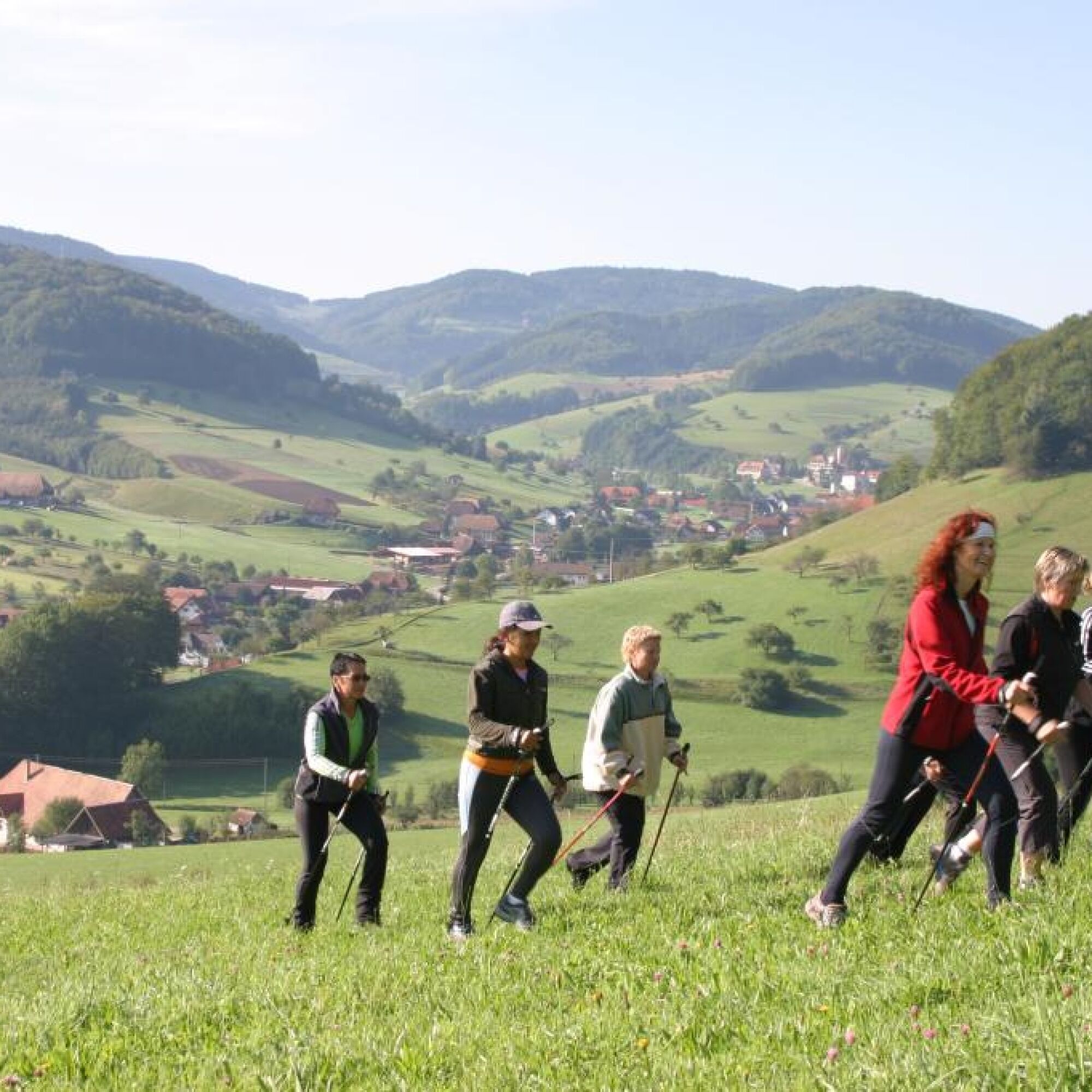
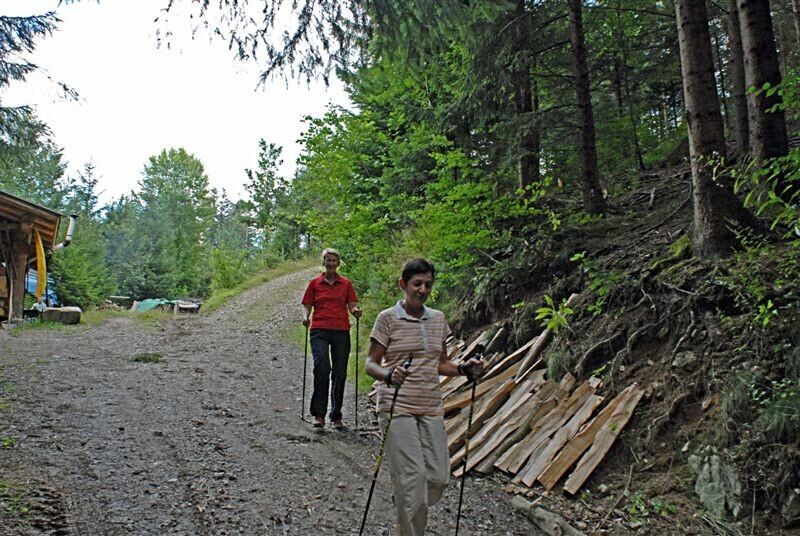

Parking lot at the water treading basin - Castle - Sägebeckweg - Schmid's Wanderecke - Westweg - Haseneckle - Farrenkopf - Westweg at Schorenkopf - Schmider's Kreuz - Allmendweg - Hauserbach viewpoint - Eichbergweg - Lower Deckerhofweg - Parking lot at the water treading basin
Nordic walking shoes, outdoor clothing
B 33 / B 294 - Hausach city center - Kreuzbergweg drive through to the end
Bus lines 1066, 7150, 7151, 7160, 7161, 7266 (Südbadenbus, Südwestbus, Katz)
Parking spaces at the water treading basin
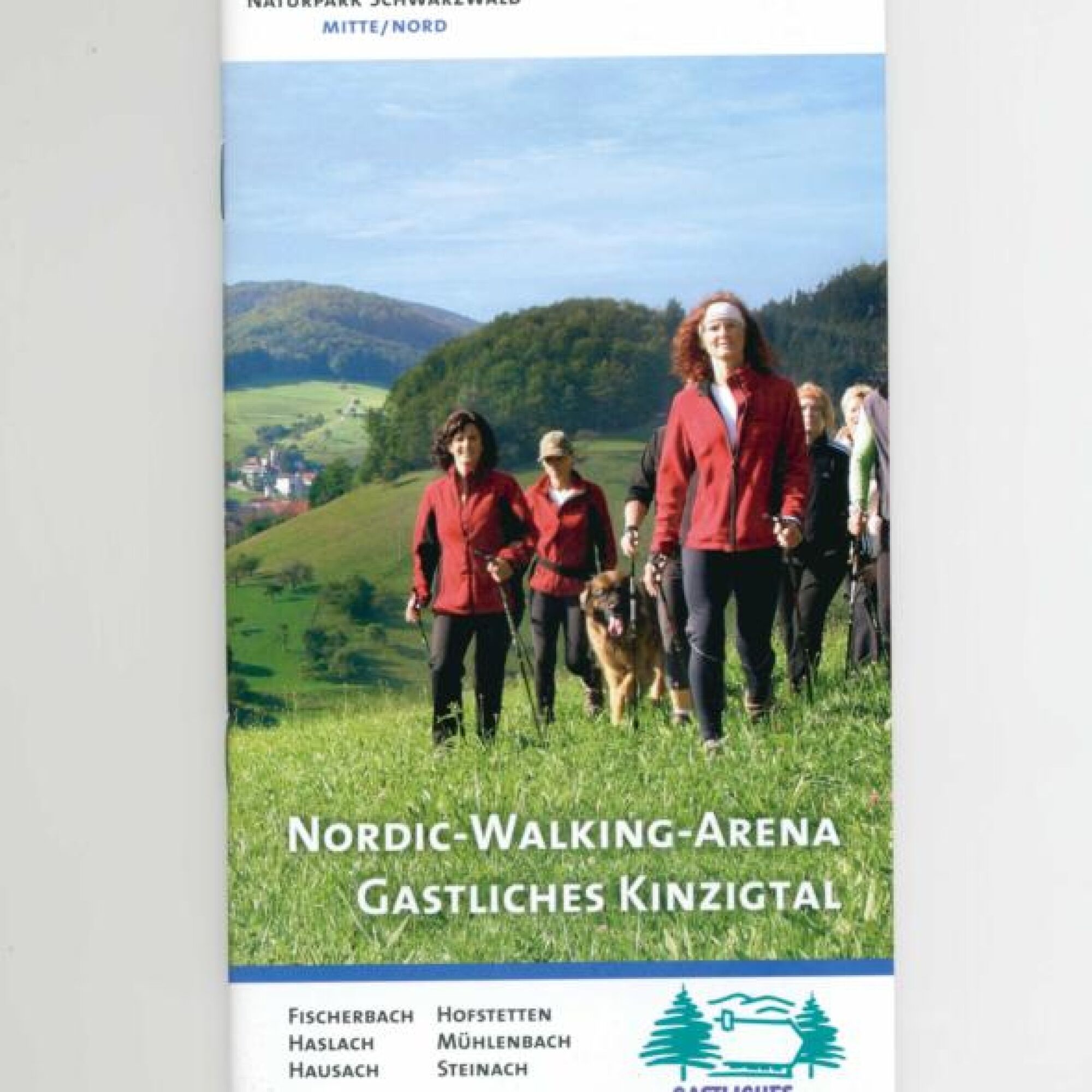
Brochure Nordic-Walking-Arena Hospitable Kinzigtal, www.gastliches-kinzigtal.de
www.gutach-schwarzwald.de
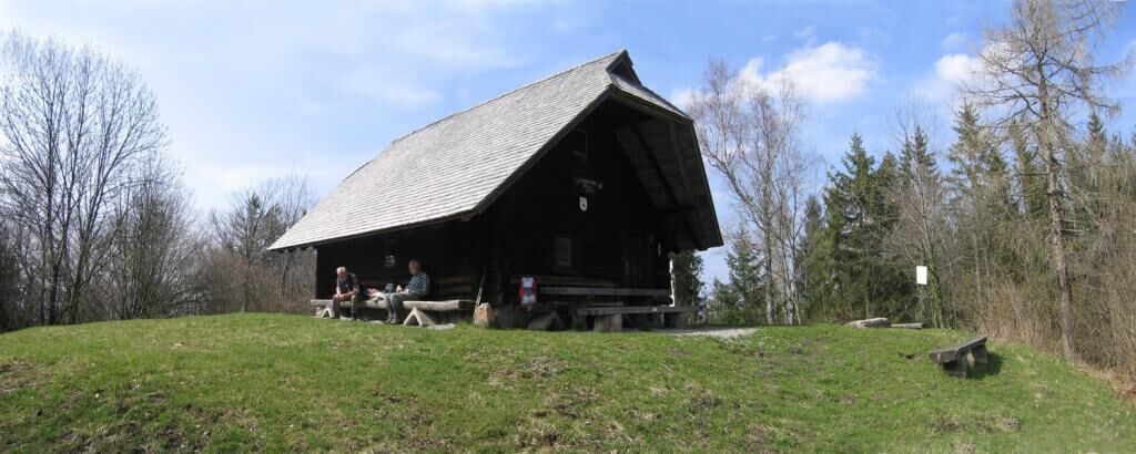
The Hasemann Hut on the Farrenkopf (Black Forest Association Gutach) is named after the Black Forest painter Wilhelm Hasemann. Since the early 19th century, artists came to the Gutach valley: writers, later photographers, and above all painters. Their works unanimously praise the landscape with its distinctive farmhouses and elegant traditional costumes. In the former Krämerhaus, a distinctive half-timbered building in the center of Gutach, the Hasemann-Liebich Museum was opened in September 2005. The great Black Forest painters Wilhelm Hasemann and Curt Liebich lived and worked in Gutach and founded the Gutach painters' colony, which included many well-known artists. The museum offers special exhibitions of works by former masters and contemporary painters. Contact and information: Tel. 07833-7177

Popularne wycieczki w okolicy
-
4,3
Oberhamersbach Vesperweg
średniWędrówka 14,5 km -
4,8
Ortenau legend circular routes: Devil's Pulpit
średniWędrówka 10,2 km -
4,7
Genießerpfad - U(h)rwaldpfad Rohrhardsberg
średniTrasa tematyczna 8,72 km -
4,3
Paradiessteig Hofstetten
średniWędrówka 12,8 km -
4,8
AugenBlick-Runde Lauterbach Güntersberg
światłoWędrówka 10,2 km -
3,0
Lauterbach High Valley Circuit in the hiking paradise Alb - Black Forest
światłoWędrówka 10,7 km -
4,5
Panoramaweg Katzenmoos
średniWędrówka 11,0 km -
4,7
Waldsee circular route to the Urenkopf tower
średniWędrówka 7,30 km -
4,0
Over the Blindensee lake to Wilhelmshöhe
średniWędrówka 16,0 km -
4,0
Circular hike on the Black Forest Railway Experience Trail
średniWędrówka 6,56 km
Wędrówki i tropienie


Nie przegap ofert i inspiracji na następne wakacje
Twój adres e-mail została dodana do listy mailingowej.





