







Alexanderschanze, Teufelskanzel, Waterfalls and Haberer Tower
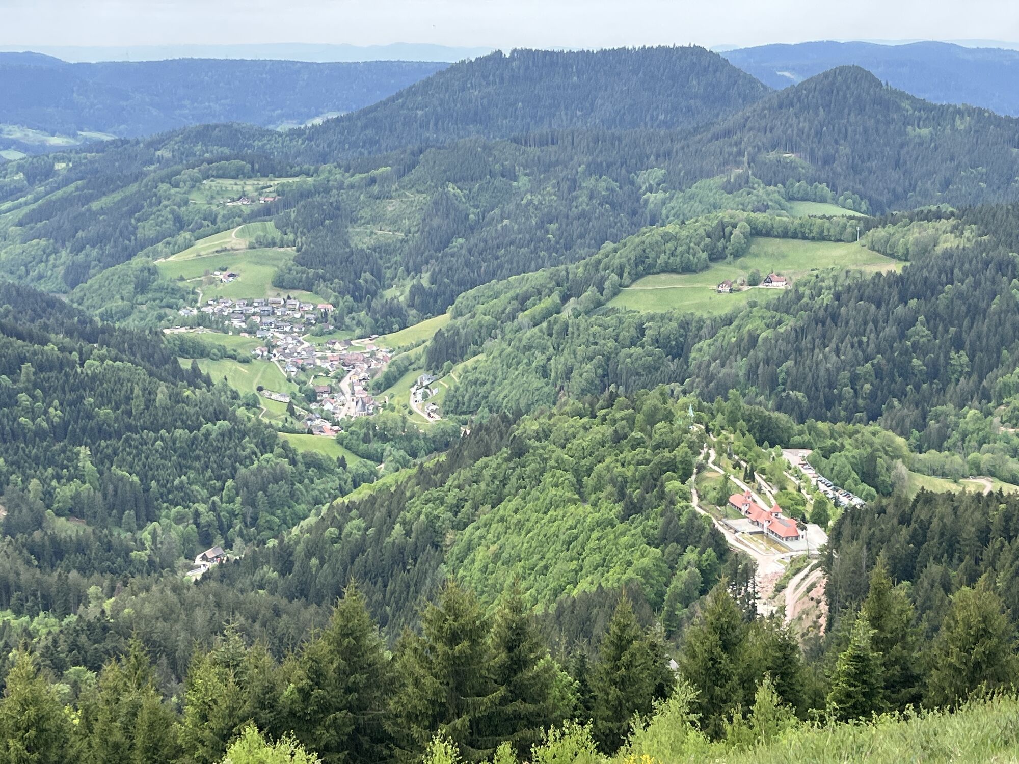
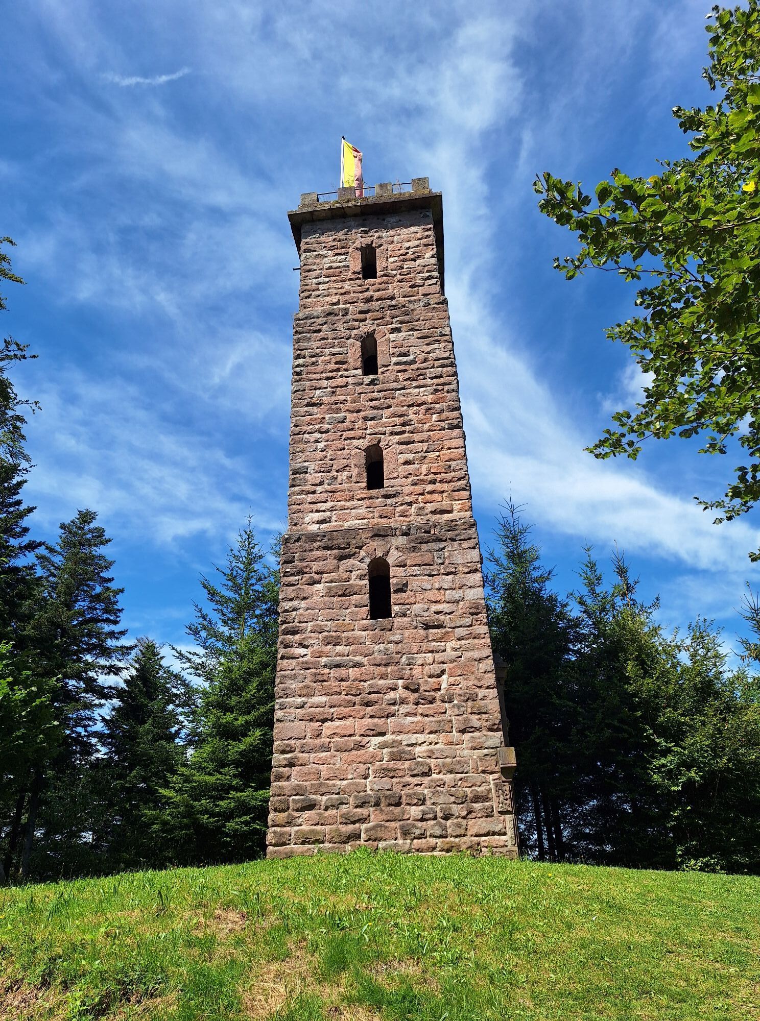
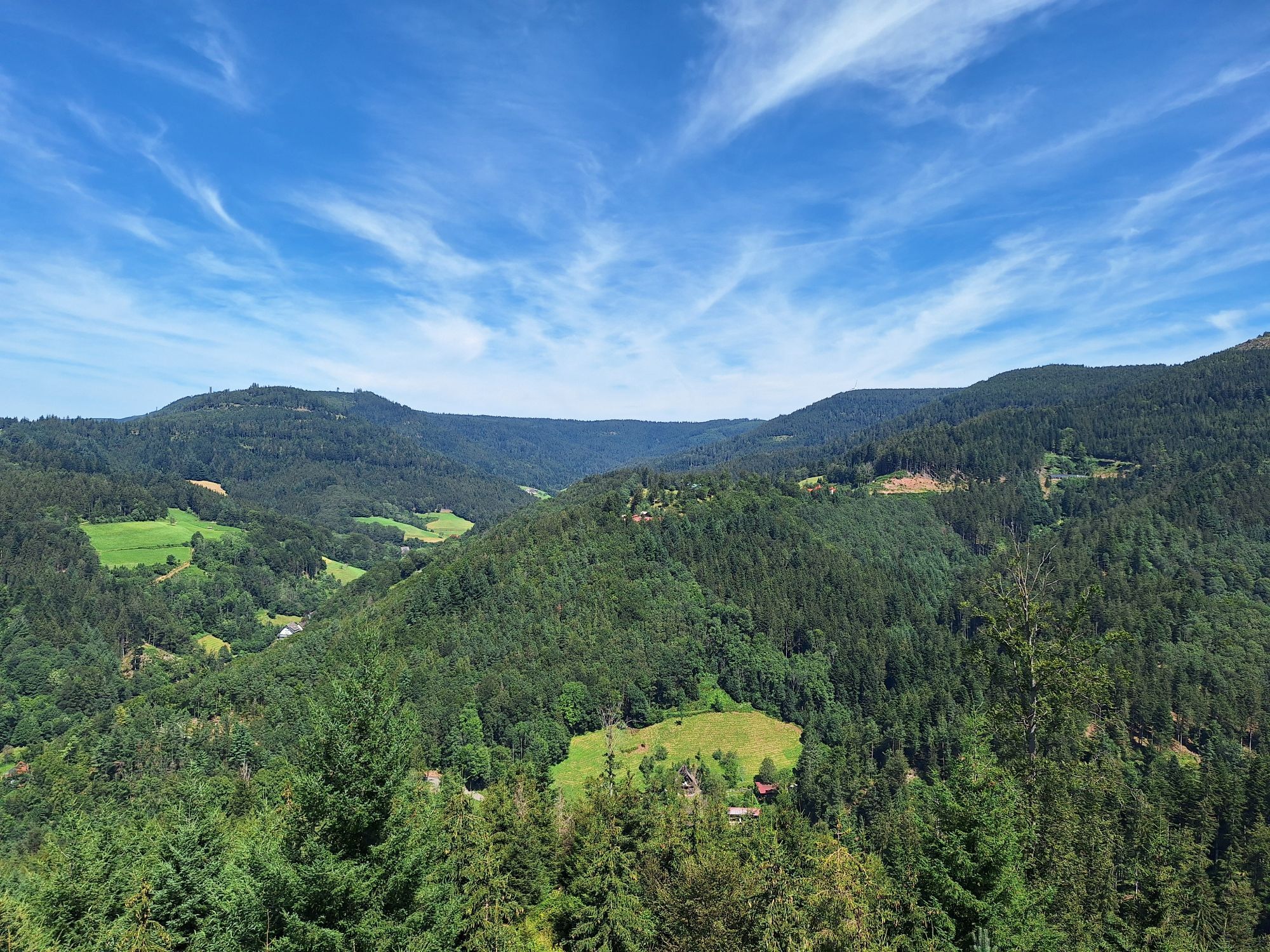
From Alexanderschanze, the path leads towards Bauernkopf, a fantastic viewpoint high above Bad Griesbach. Gently descending forest paths lead along the heights to the next highlight of the route, the Teufelskanzel....
From Alexanderschanze, the path leads towards Bauernkopf, a fantastic viewpoint high above Bad Griesbach. Gently descending forest paths lead along the heights to the next highlight of the route, the Teufelskanzel. Adventurous paths and wooden stairs pass by the rock formation. Continually descending and past the Sexauer Hut, we encounter the Griesbach Waterfall at the end of a stone staircase. Shady forest paths then lead us to the Haberer Tower. The climb is worth it, as the view from the tower extends over the Dollenberg and Breitenberg, into the Griesbach valley and to the Black Forest slopes. Via Kreuzkopfschanze and through Bad Griesbach, it then goes back to Bad Griesbach station.

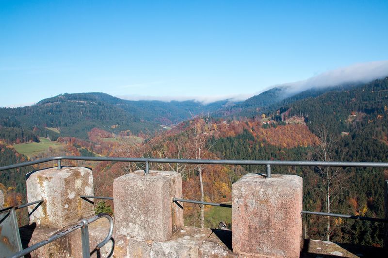
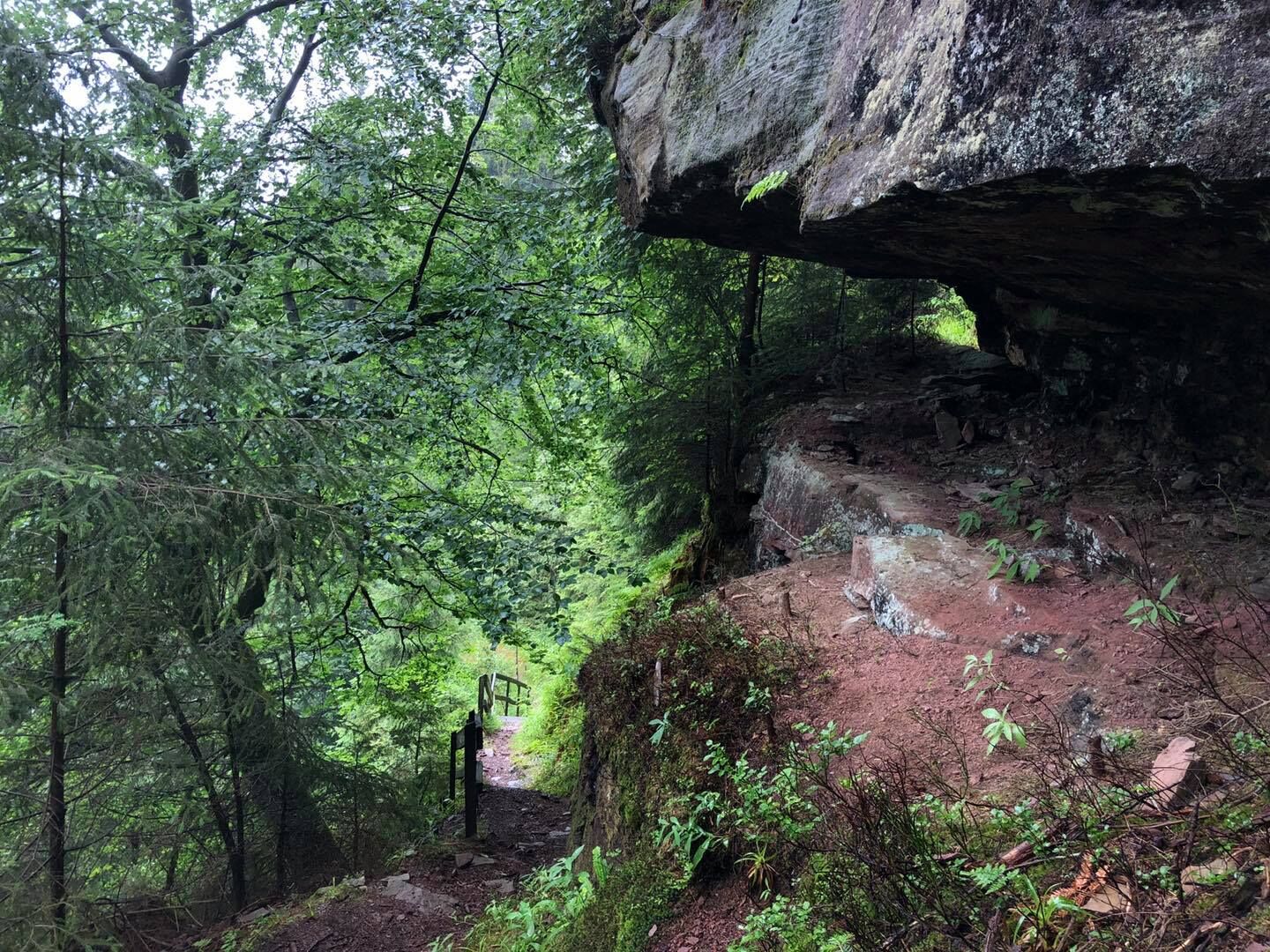
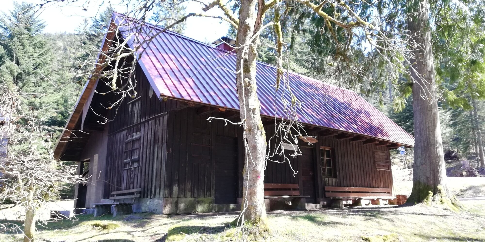
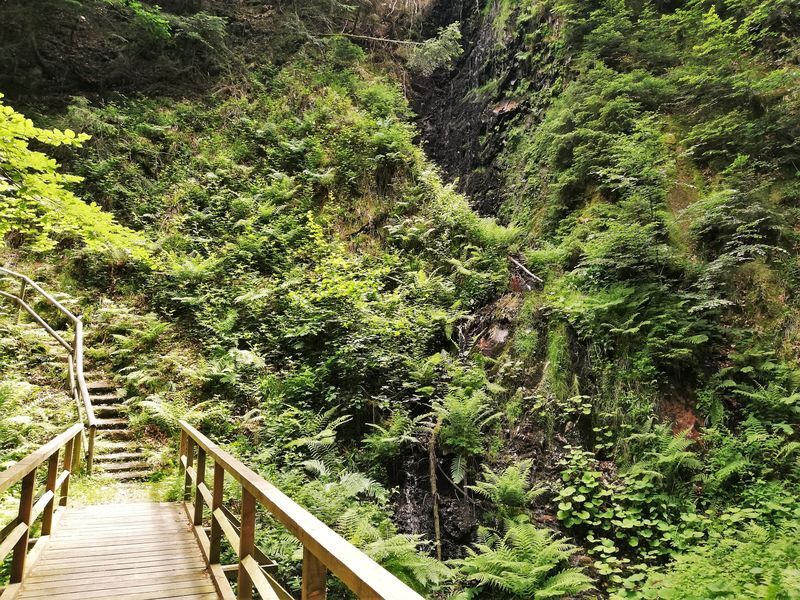

From the Alexanderschanze bus stop, we hike on the Renchtalsteig towards Bauernkopf and follow the signs past the Hilda Hut to the location "Above the Teufelskanzel." Here we turn right, past the Teufelskanzel. We continue to follow the Renchtalsteig, turn right at the end of the stairs, and follow the signs to the Sexauer Hut. Before the hut, we follow the Renchtalsteig towards the Griesbach Waterfall. Continuing on the wide forest road to the Turmwald location. Here we turn left up to the Haberer Tower. After enjoying the view from the tower, we go back the same way for about 50 meters before a small path branches off to the left. We come out at the Kreuzkopfschanze parking lot and follow the paved road downhill. After about 50 meters, we turn left and follow the meadow path zigzagging downhill to the B28. We then follow this to the left to the station.
Sturdy footwear required.
Sure-footedness required for the descent from the Teufelskanzel.
Thanks to the federal highway B28, the Rhine Valley Autobahn (A5) and the Lake Constance Autobahn (A81) can both be reached quickly.
How to reach the station in Bad Peterstal-Griesbach:
Autobahn A5, exit Appenweier, B28 via Oberkirch and Oppenau to Bad Peterstal-Griesbach, center of Bad Griesbach, the station is on the right side
Autobahn A81, exit Horb, B28 via Freudenstadt to Bad Peterstal-Griesbach, center of Bad Peterstal, center of Bad Griesbach, the station is on the left side
From Offenburg (ICE and IC stop) or Appenweier, you can reach Bad Peterstal-Griesbach in the Black Forest by Ortenau-S-Bahn.
From Bad Griesbach station, take the National Park Regional Bus 118/F118 to Alexanderschanze.
Free parking at Bad Griesbach station or Bad Peterstal station.
At the end of the route, three restaurants entice with cool drinks and regional delicacies. Stopping by is worth it.
Uzyskaj wgląd
Zawsze na żywo z ponad 9 500 kamer internetowych. bergfex Jako użytkownik Pro, możesz teraz zobaczyć odpowiednie kamery internetowe dla wielu wycieczek w aplikacji wycieczki od. Pozwala to na bezpośredni podgląd aktualnych warunków.
Popularne wycieczki w okolicy
-
4,8
Hahn und Henne Tour
średniWędrówka 15,0 km -
5,0
Ottenhöfen - Eichkopf - Karlsruher Grat
średniWędrówka 13,7 km -
4,7
Kniebiser Heimatpfad - Wandern mit Genuss
światłoWędrówka 9,07 km -
4,5
Naturgewalten-Tour
Wędrówka 15,6 km -
4,0
Sankenbachwasserfälle und Glasmännlehütte am Stöckerkopf
średniWędrówka 12,8 km -
5,0
Bannwald-Tour
Wędrówka 13,3 km -
4,8
Bad Peterstal-Griesbach - Himmelssteig für "Höhenverliebte"
ciężkiWędrówka 10,3 km -
4,6
Bad Rippoldsau - Cafe & Restaurant Zum Schlüssel - Klösterle - Burgbachwasserfall
średniWędrówka 11,2 km -
5,0
Kniebis-Sankenbachwasserfälle-Sankenbachsee
średniWędrówka 7,98 km -
4,3
Oberhamersbach Vesperweg
średniWędrówka 14,5 km
Wędrówki i tropienie


Nie przegap ofert i inspiracji na następne wakacje
Twój adres e-mail została dodana do listy mailingowej.





