







4 - Around Eberstetten
The former residential town of Bad Urach lies in the middle of the UNESCO Biosphere Reserve Swabian Jura. Wonderful nature, fresh air, and the picturesque half-timbered town provide a relaxing, deep breath...
The former residential town of Bad Urach lies in the middle of the UNESCO Biosphere Reserve Swabian Jura. Wonderful nature, fresh air, and the picturesque half-timbered town provide a relaxing, deep breath and restful holiday days.


The first part of our hike leads us into the Elsach valley, along Grabenstetter street and the cemetery grounds, where the ascent to the plateau begins behind the stone fountain room.
The steep zigzag path ascending the slope of Wölfing soon leads to a wide forest road.
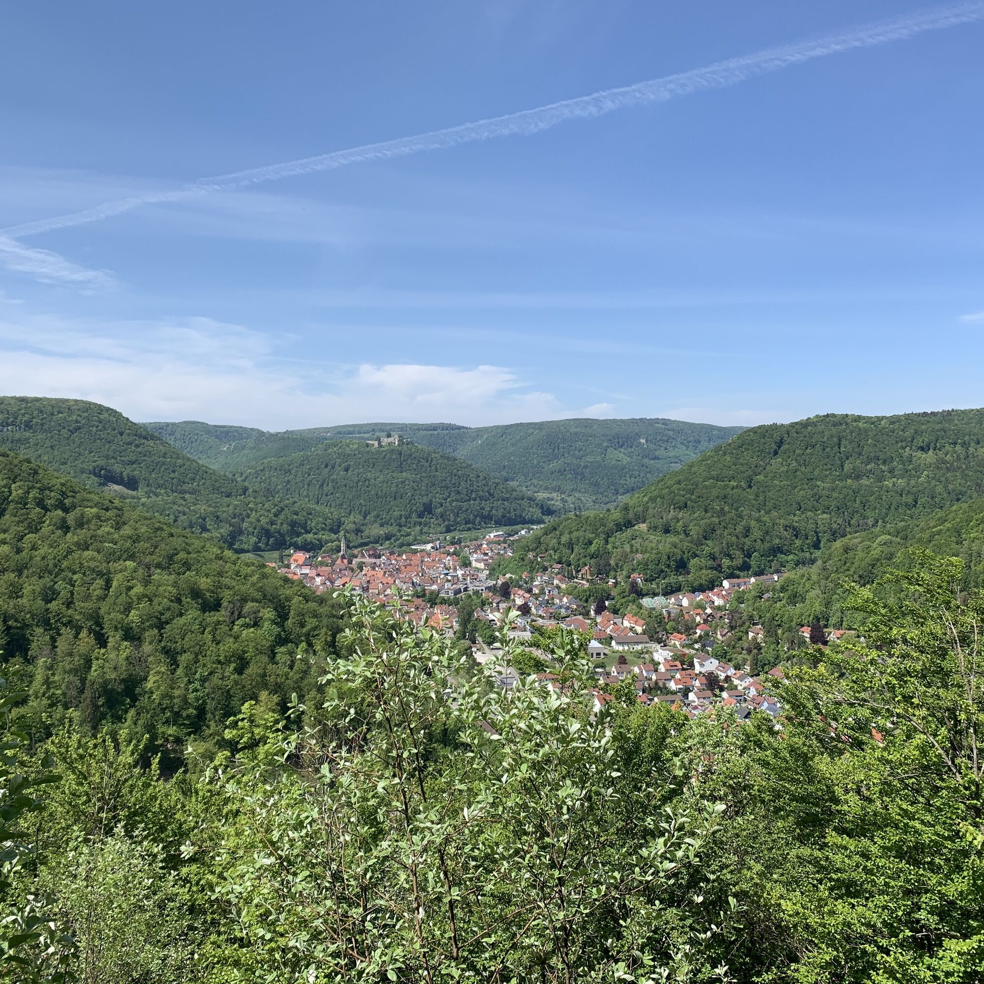
We follow this path slightly uphill to the right. After about 150 m on this "recovery stretch," a narrow zigzag path begins on the left that leads us further uphill. For the effort of the ascent, we are rewarded shortly before reaching the plateau at the Wölfing viewpoint with a particularly beautiful view of Bad Urach with its mountains and the Elsach valley. The narrow Elsach and Ermstal valleys have always offered only limited agricultural land.
Therefore, in earlier times, suitable valley slopes and areas within the forests on the plateau were cleared.
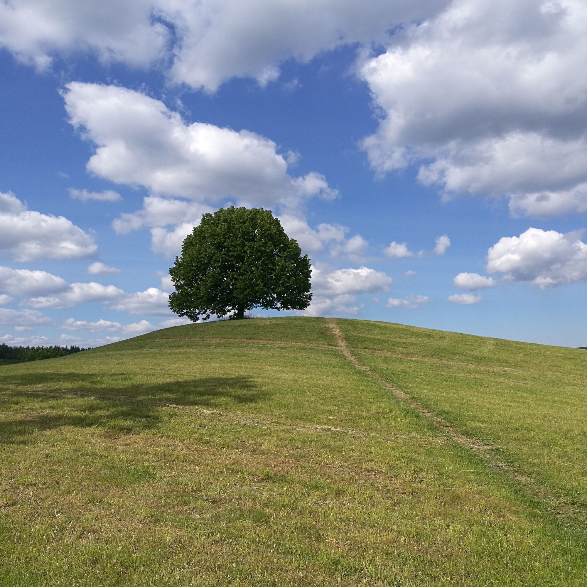
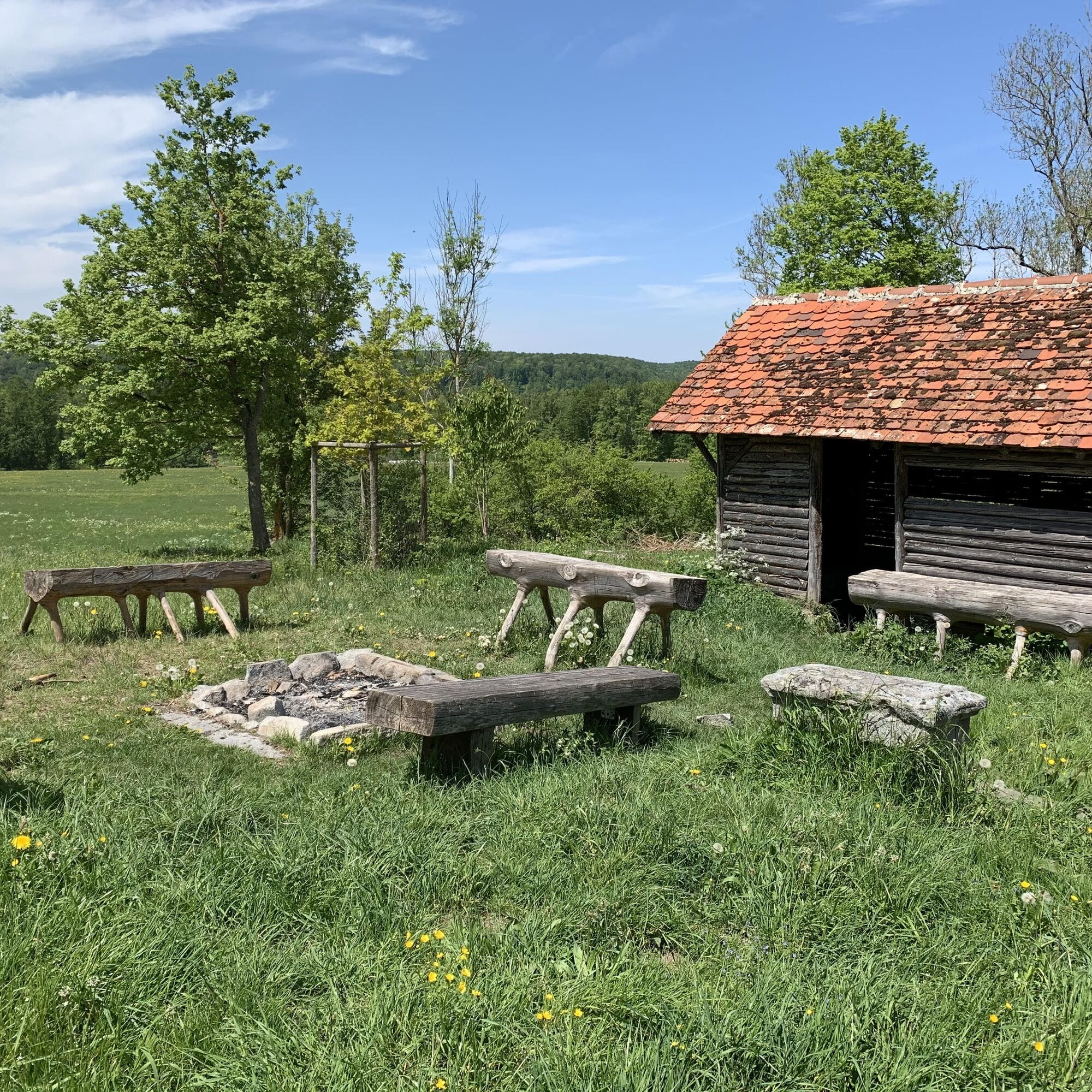
One such clearing is the current pasture area of Ulmer Eberstetten, which we reach after a short climb from the Wölfing viewpoint. Our route now runs as a meadow path across a pasture area into the short forest patch opposite and then continues on a field path. At the municipal sheepfold, we turn left. On a well-developed forest road, we first walk along the forest edge, then through the woods, past the Schmidhalde spring. After half an hour, we reach Pfäler Eberstetten. There, the so-called Feldherrnhügel, a small elevation in the middle of the pasture, offers a good panoramic view. Benches invite you to linger in front of a shelter, and there is also a fire pit.
Behind the shelter, our path turns left and leads through the meadows toward the forest.
There begins the Pfäler Steige, which takes us gently downhill into the Langer Grund, a side valley of the Elsach valley. In the valley floor, we follow the path to the left and circle the valley end. From here, we have another view into the Langer Grund.
Continuing on our path, we repeatedly see the red roofs of the houses of the Elsachsiedlung district through the light high forest. We come to the zigzag path we already know from the beginning of our hike. It finally leads us downhill to the Geirenbad, where we end our hike.
Tak
Sturdy footwear, hiking poles, and surefootedness are recommended for this route.
Our circular routes are hiking, not walking paths. Sturdy footwear, hiking poles, and surefootedness are recommended for all routes. Especially after and during rainfall as well as in the winter months, the calcareous rock and soil, particularly on slopes, can be very slippery. Please take appropriate care.
In emergencies, always dial 112. Please mention if the injured persons are in inaccessible terrain so that the Bad Urach mountain rescue service is informed and no unnecessary rescue delays occur.
At the posts of the trail markers you will find a plaque with the exact location number. This is known at the control center. In emergencies, this ensures quick assistance.
From Münsingen via B 465 to Bad Urach. Follow the direction toward Ulm/Römerstein continuing on B28. Shortly before leaving the town, about 1 km from the city center, at the foot of the Ulmer Steige near the municipal cemetery is the Zittelstatt parking lot P18 on the right side.
From Ulm/Römerstein via B 28 to Bad Urach. Immediately after the town entrance, at the foot of the Ulmer Steige near the municipal cemetery is the Zittelstadt parking lot P18 on the left side.
Take the Ermstalbahn to Bad Urach. Walk from the train station to the marketplace. From there, take the city bus (line 108) to the Teckstraße stop, close to the Friedhof/Zittelstatt parking lot.
Parking lot Zittelstatt P18
Also discover our 5 premium hiking routes Grafensteige: Wasserfallsteig, Hohenurachsteig, Hochbergsteig, Hohenwittlingensteig, or Seeburgsteig. All premium hiking routes are suitable for athletic and sure-footed hikers and take you to the most beautiful places in Bad Urach.
http://www.badurach-grafensteige.de
Uzyskaj wgląd
Zawsze na żywo z ponad 9 500 kamer internetowych. bergfex Jako użytkownik Pro, możesz teraz zobaczyć odpowiednie kamery internetowe dla wielu wycieczek w aplikacji wycieczki od. Pozwala to na bezpośredni podgląd aktualnych warunków.
Popularne wycieczki w okolicy
-
4,8
Wasserfallsteig Bad Urach
średniWędrówka 10,2 km -
4,8
Löwenpfad "Filsursprung-Runde" - pure nature around the Reußenstein
średniWędrówka 14,1 km -
4,8
Hohenwittlingensteig Bad Urach
średniWędrówka 6,48 km -
4,8
Hohenurachsteig Bad Urach
średniWędrówka 7,65 km -
4,0
Seeburgsteig Bad Urach
średniWędrówka 8,19 km -
4,5
16 - Through the Trailfinger Gorge
średniWędrówka 6,16 km -
5,0
Lenningen: Weiße Lauter, Wasserfels, Guttenberger-,Gußmannshöhle, Schopflocher Moor, Hohgreutfels, Ruine Wielandstein
średniWędrówka 15,7 km -
5,0
Breitensteinrunde
światłoWędrówka 10,3 km -
4,0
Bad Urach Wasserfall, Runde von Buchhalde
średniWędrówka 12,1 km -
Trauf, Höllenlöcher, Wasserfälle und Tal
średniWędrówka 15,8 km
Wędrówki i tropienie


Nie przegap ofert i inspiracji na następne wakacje
Twój adres e-mail została dodana do listy mailingowej.





