






6. Baiersbronn - Trailrun Hinterlangenbach
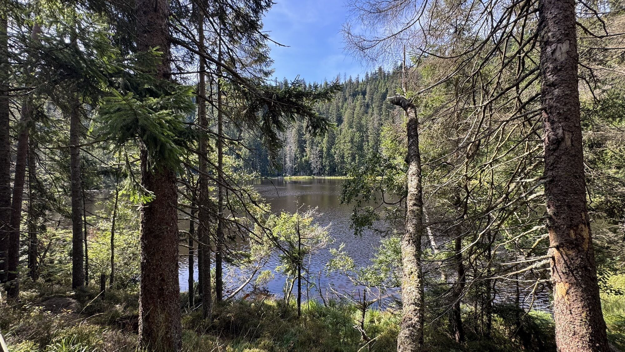

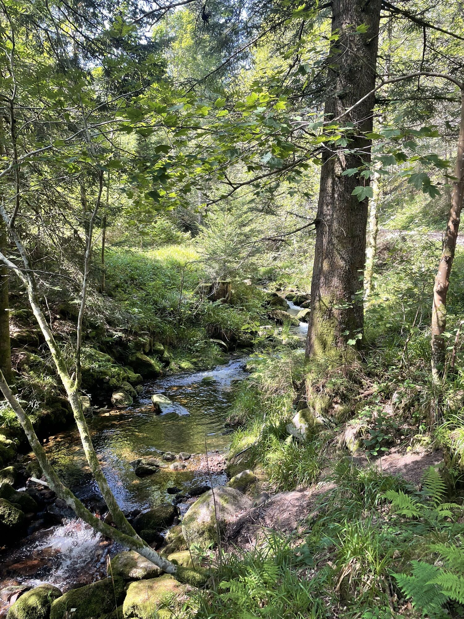
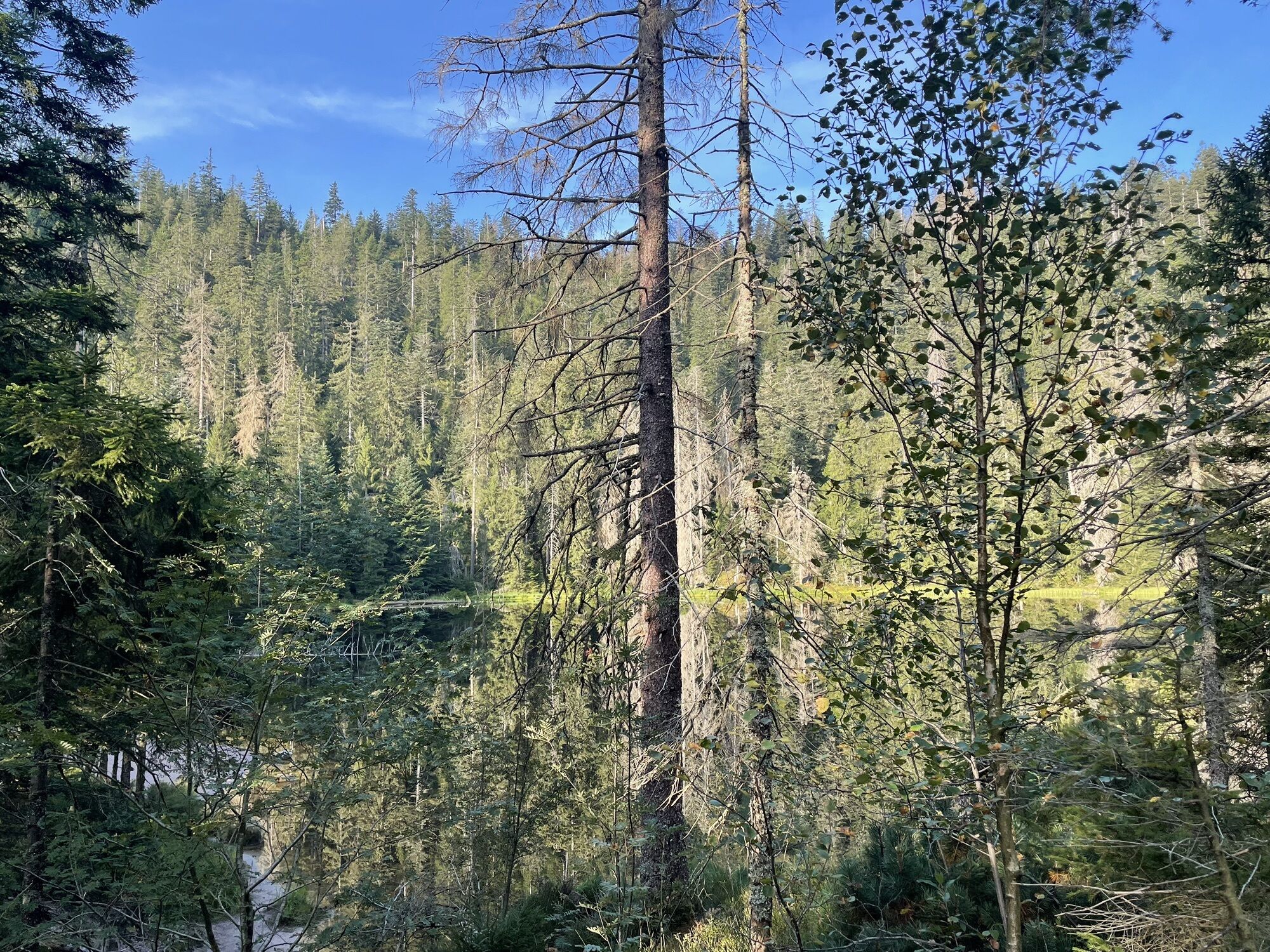
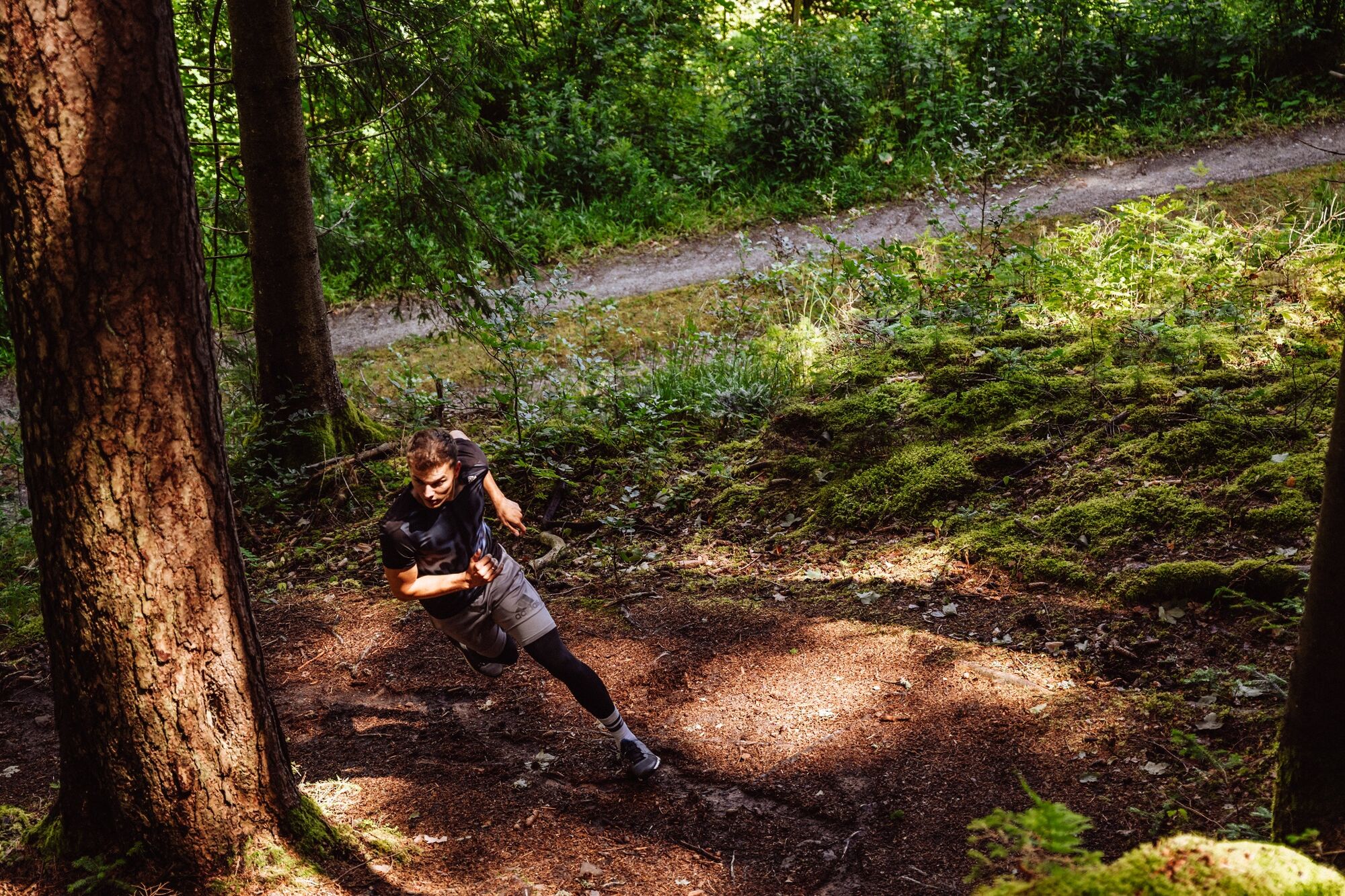
The trail run in Hinterlangenbach is a real highlight for athletes and enthusiastic runners! Despite the somewhat remote location in Hinterlangenbach, everyone gets their money's worth here. The route...
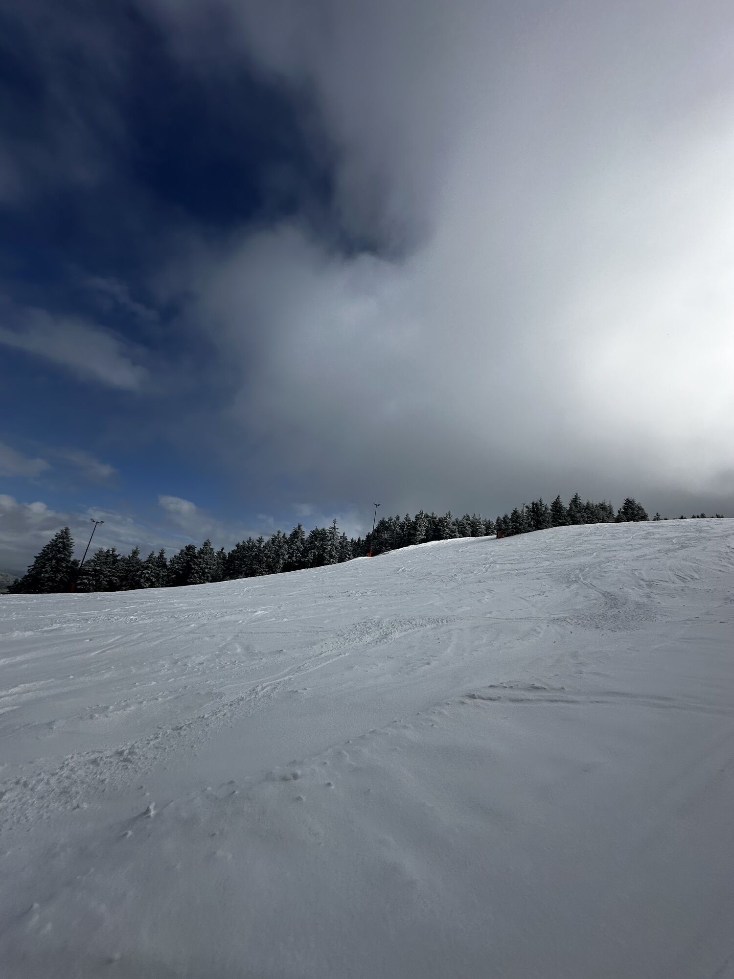
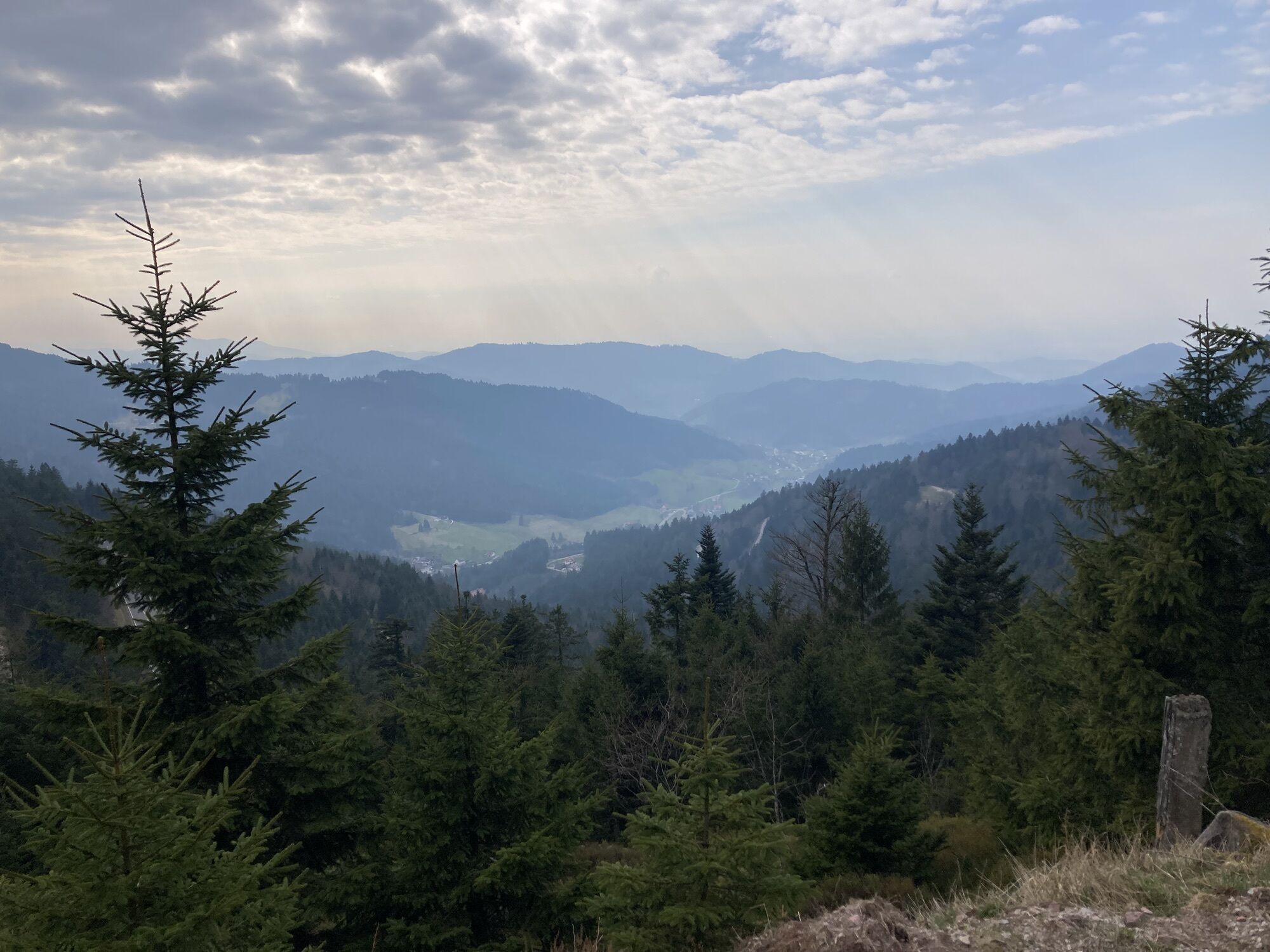
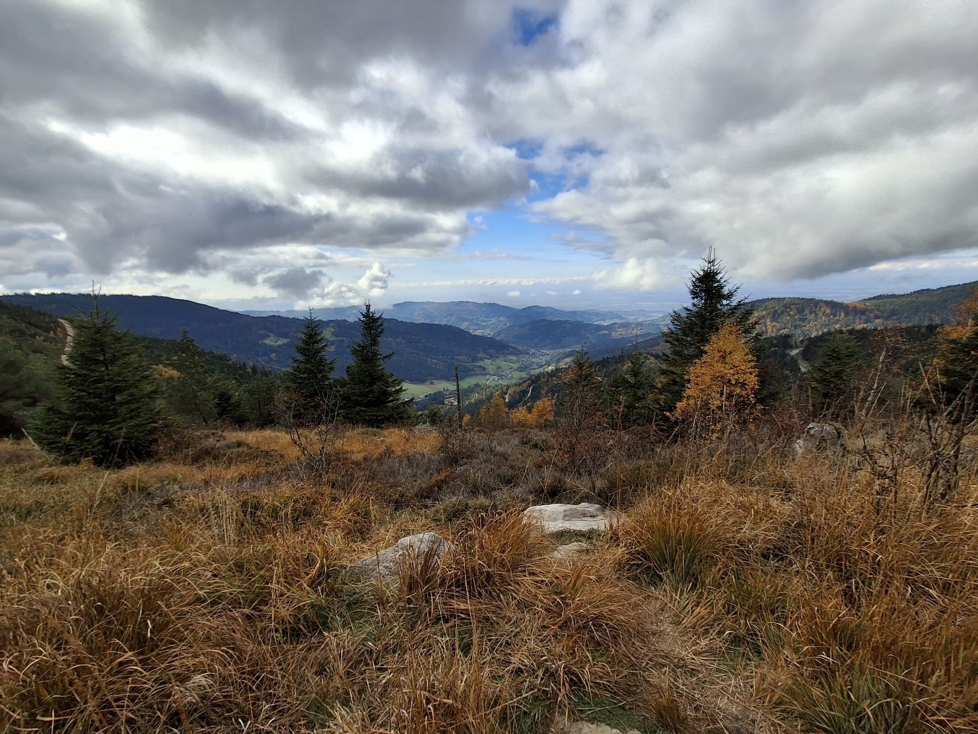
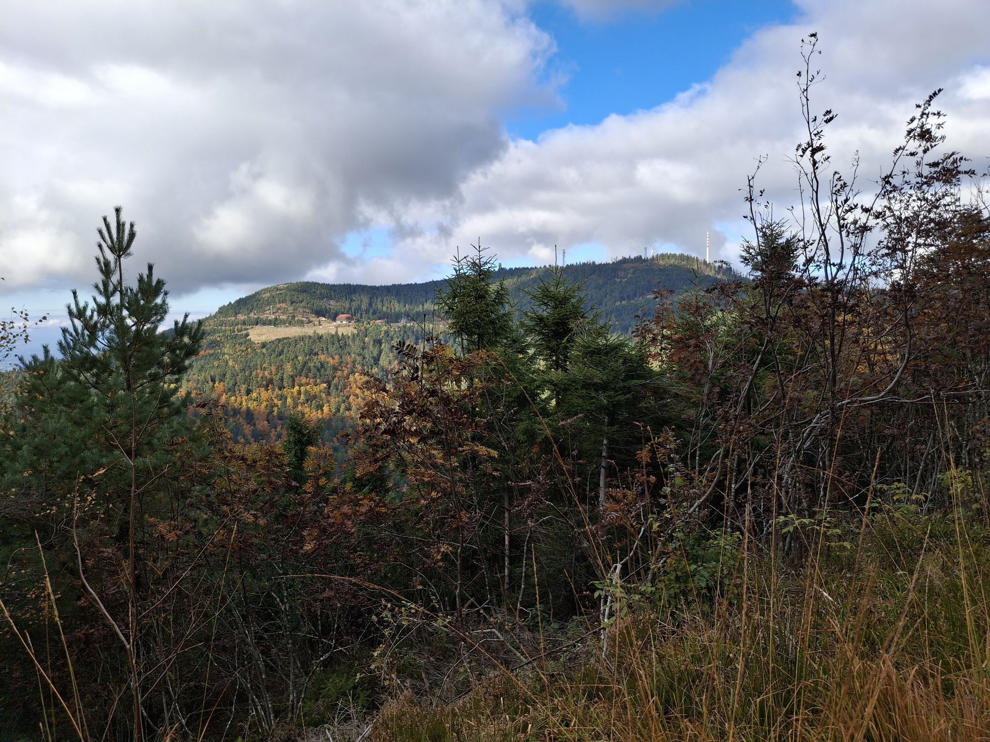
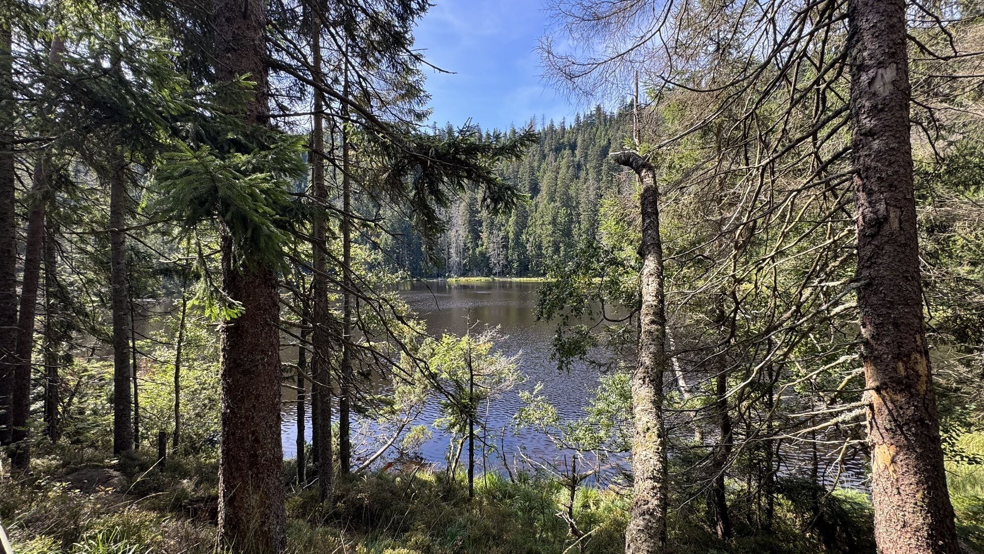
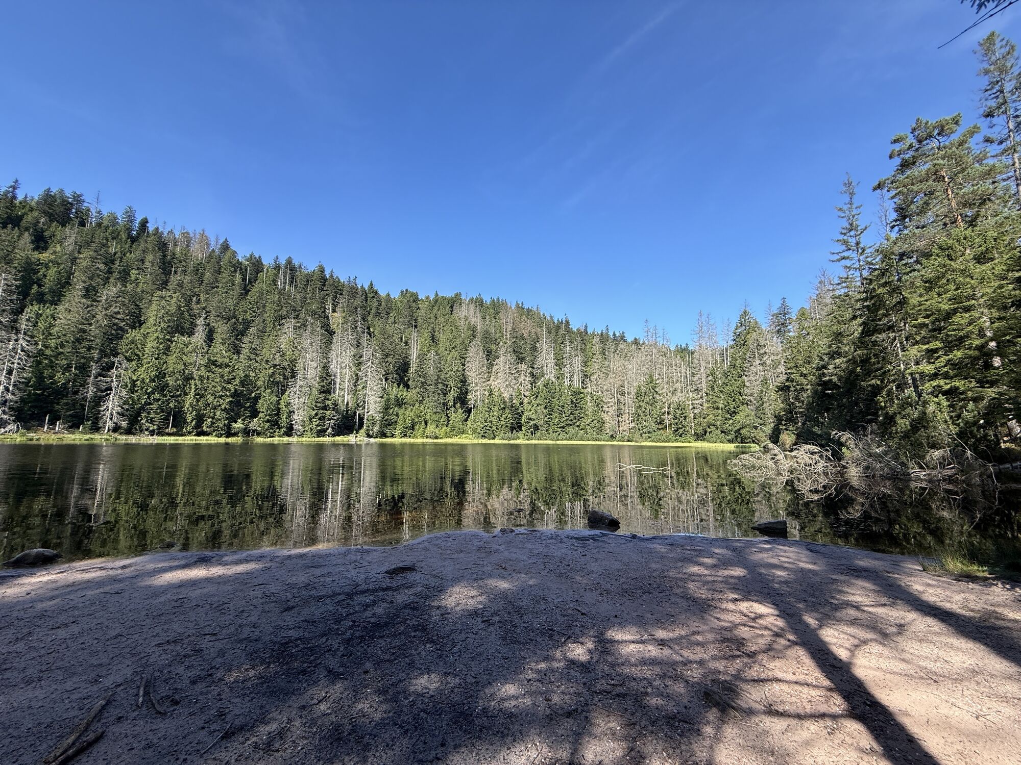
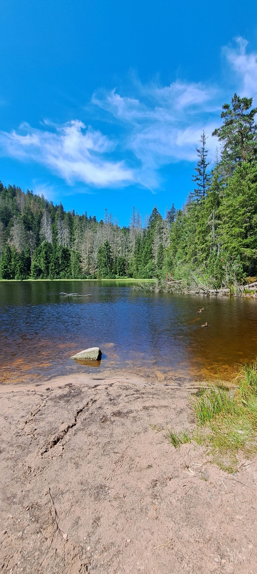
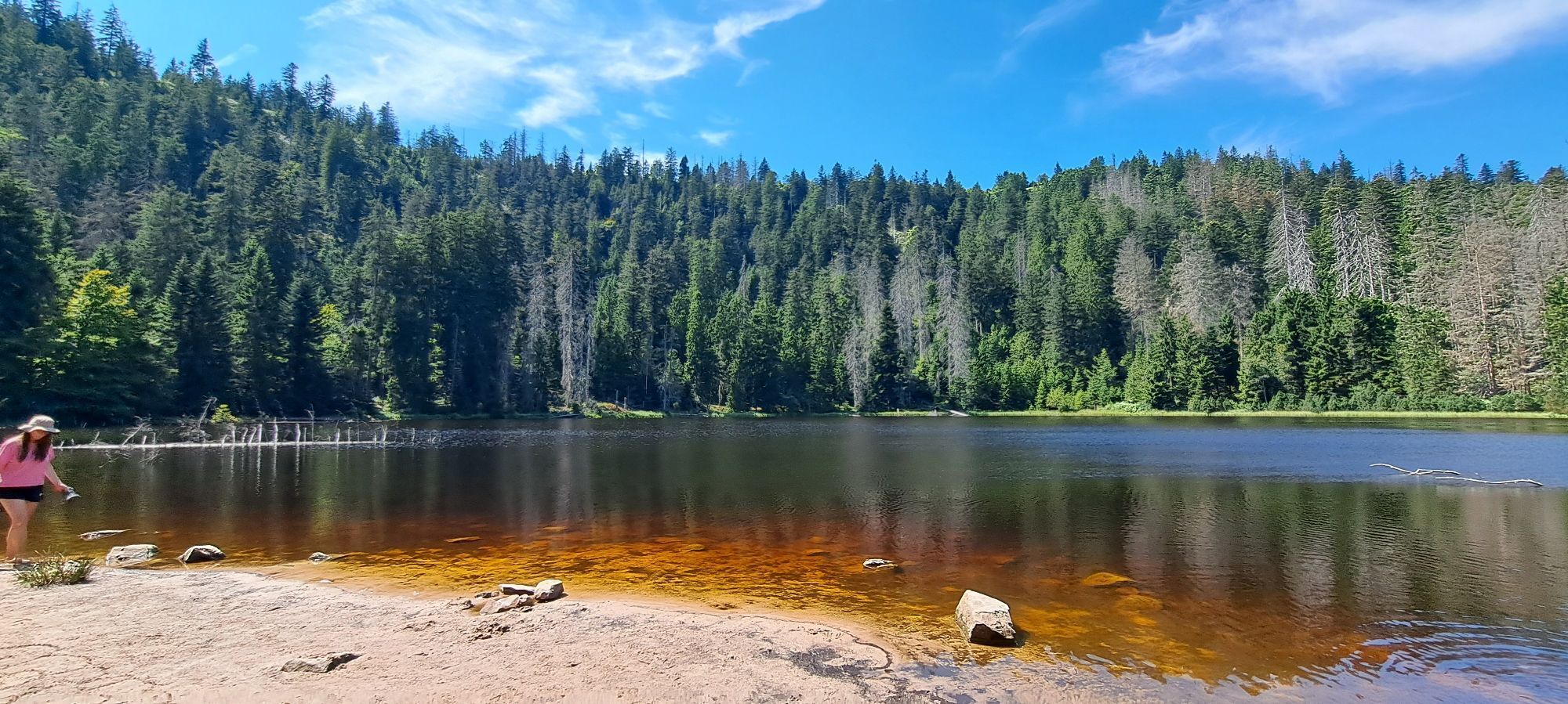
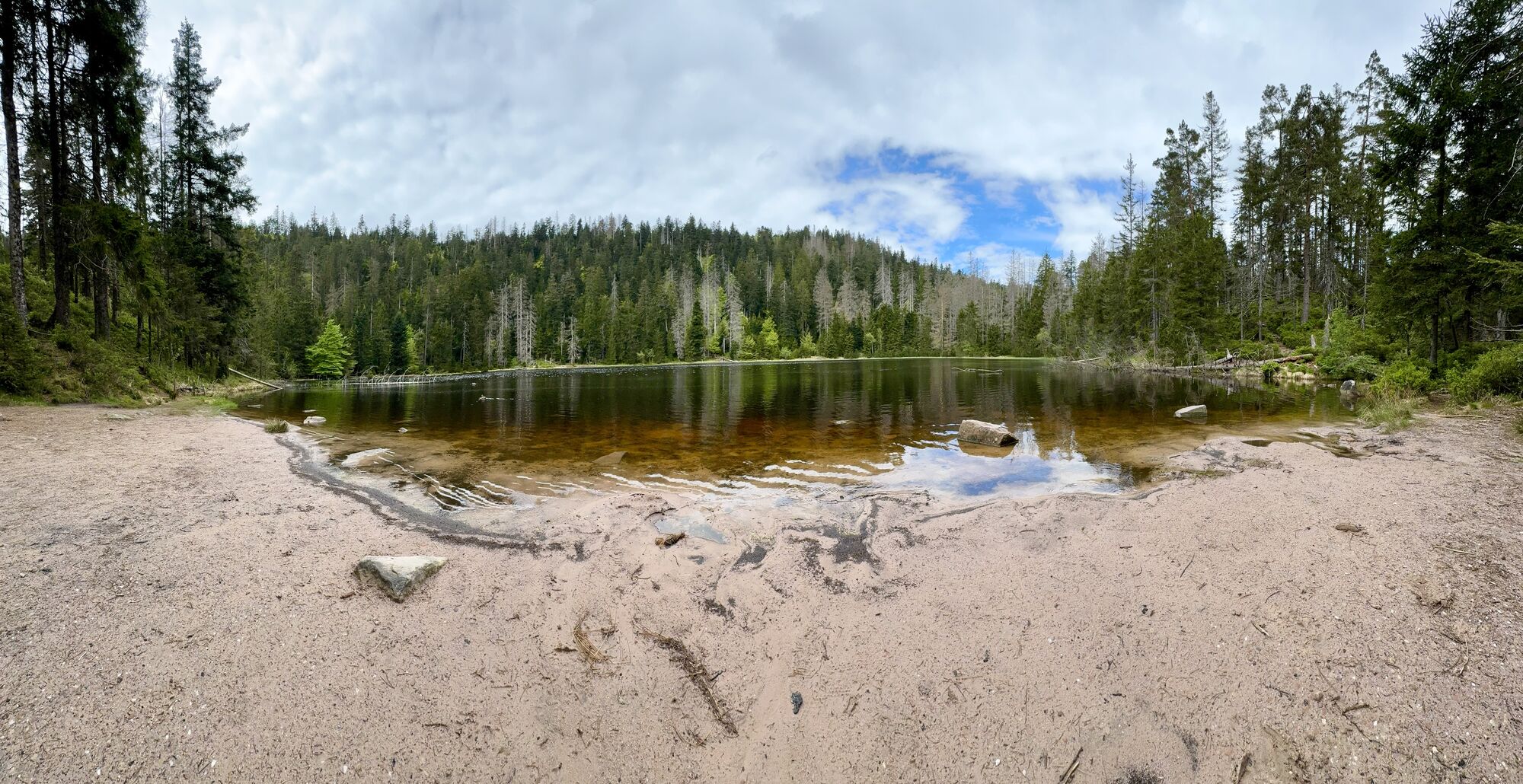
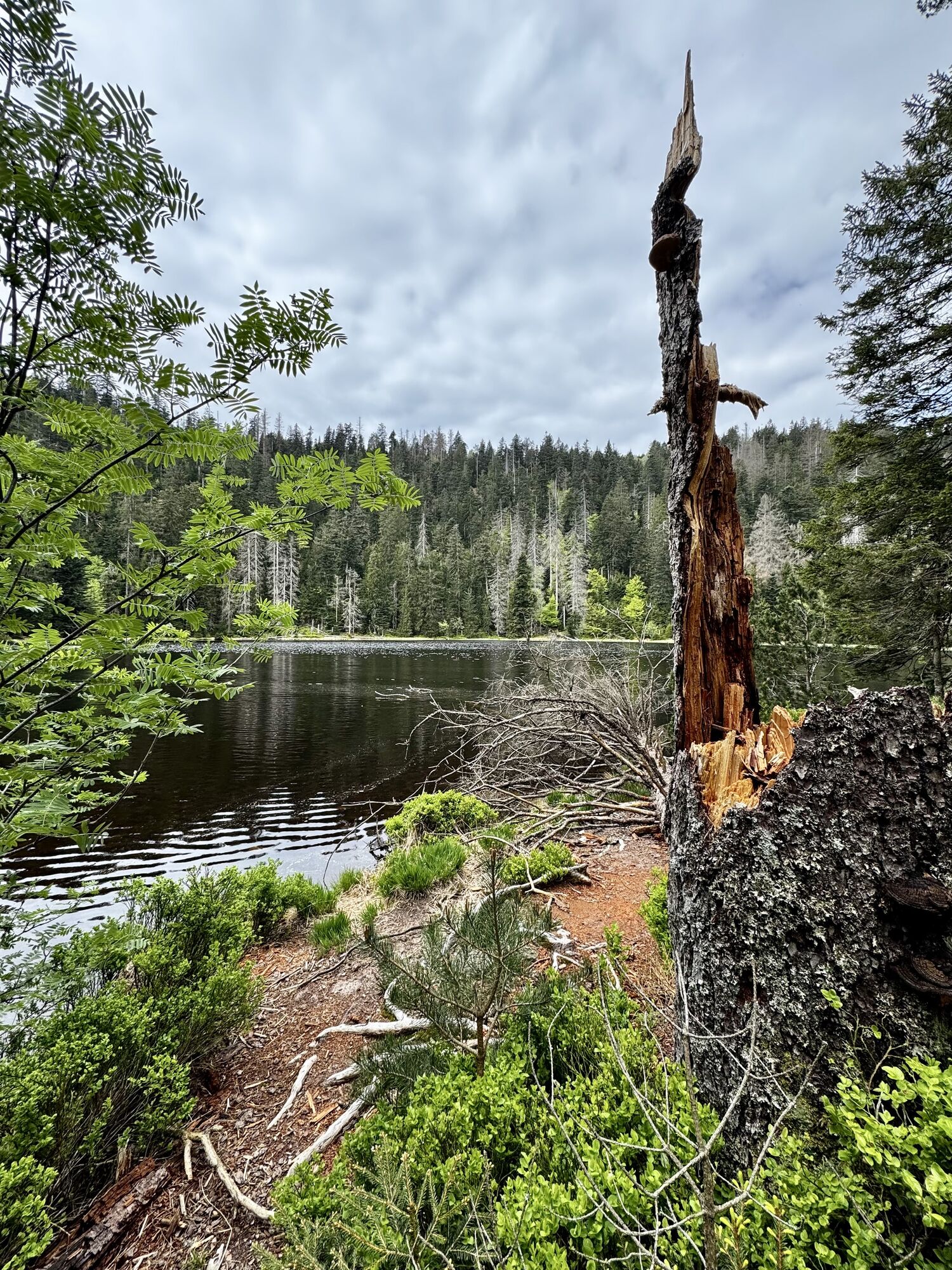
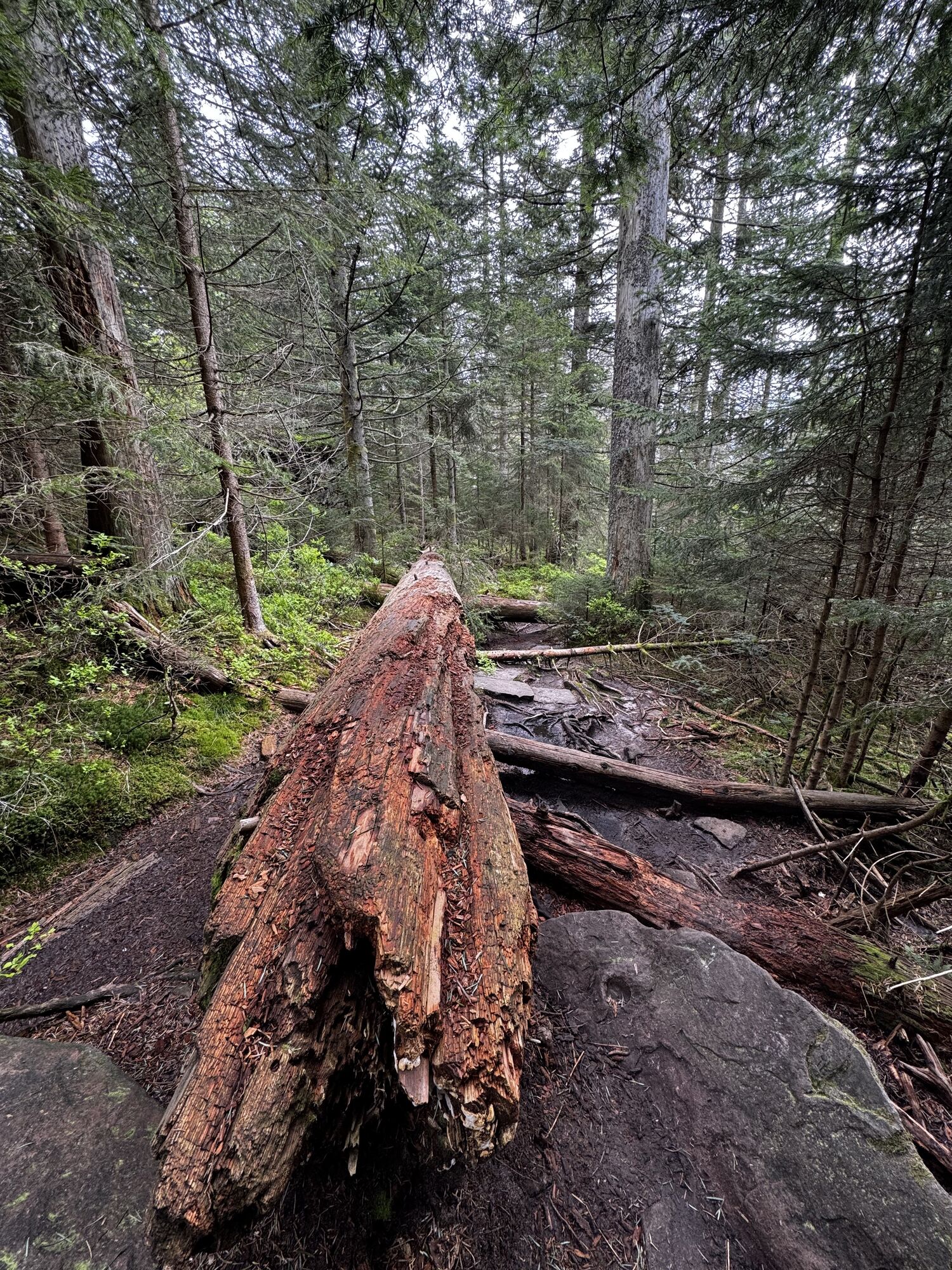
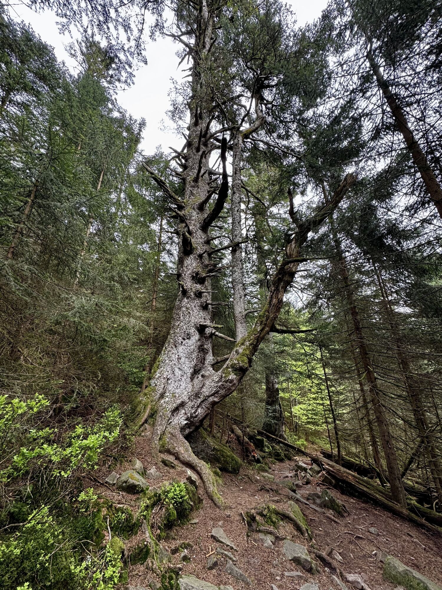
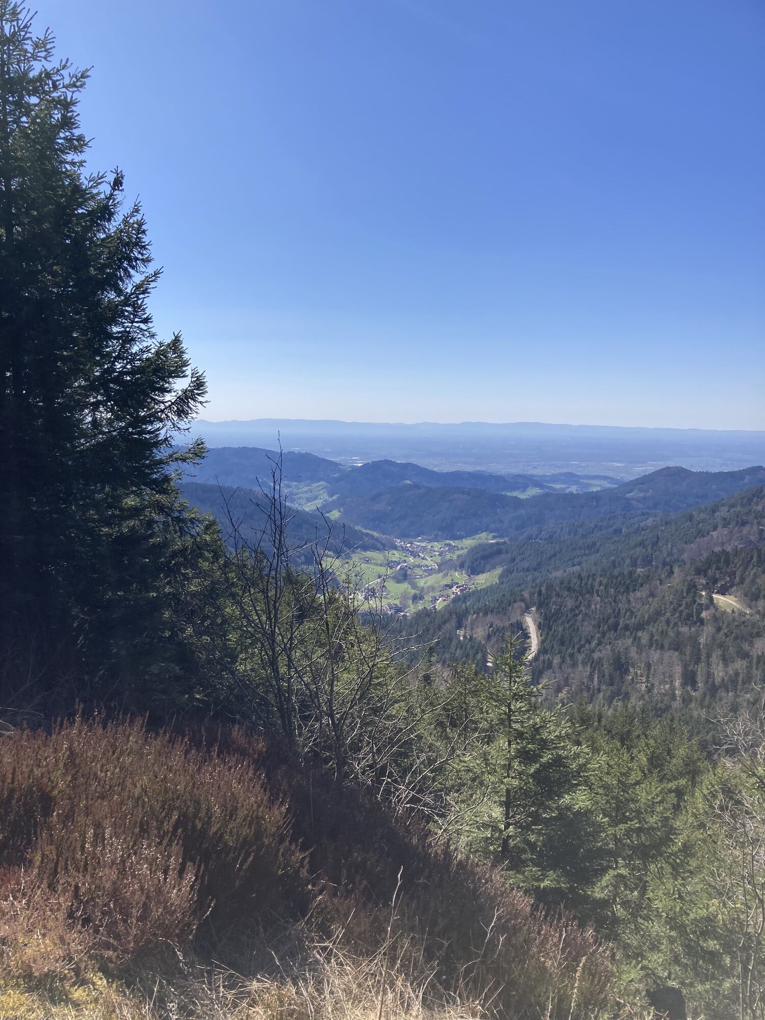
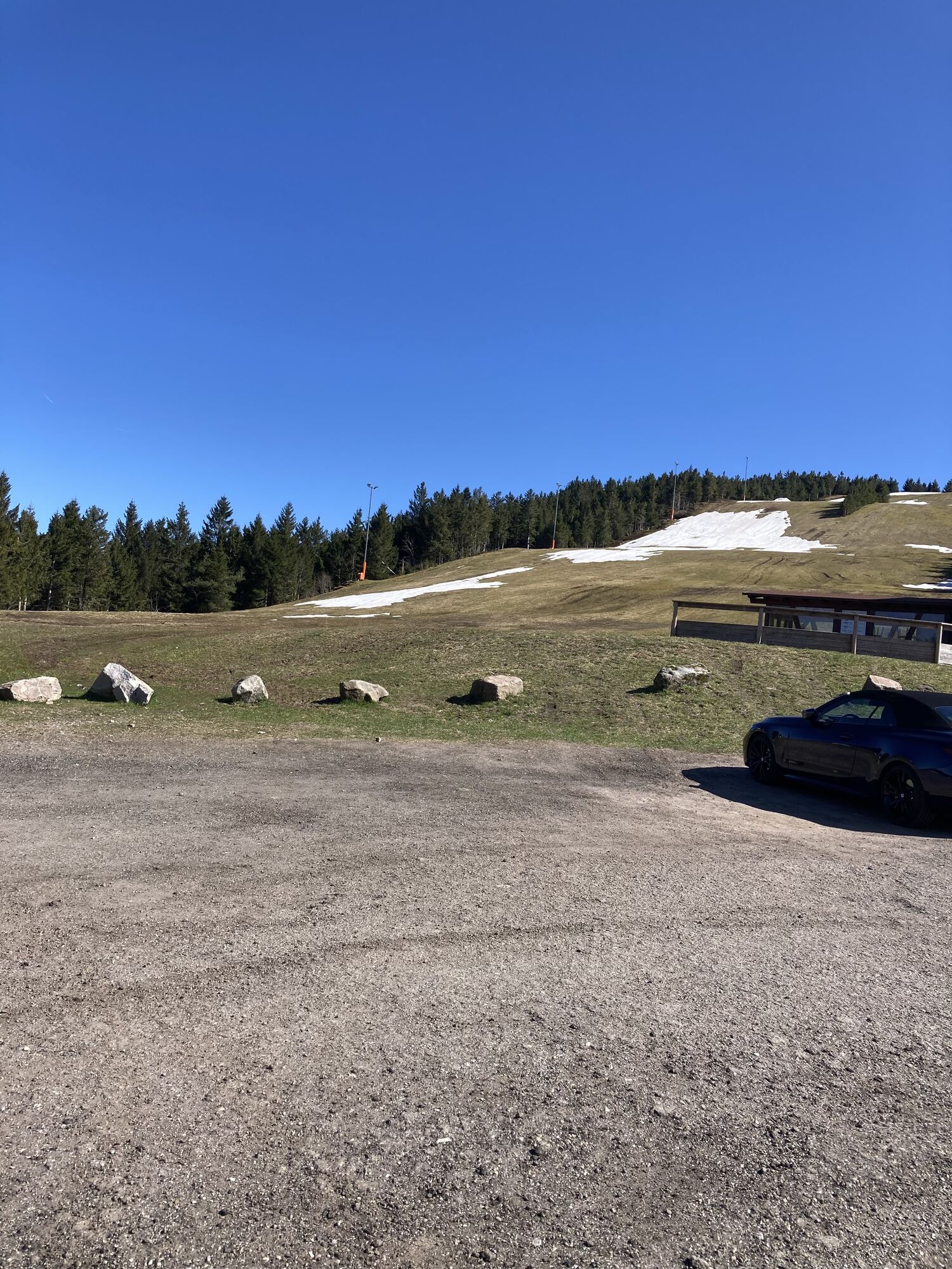
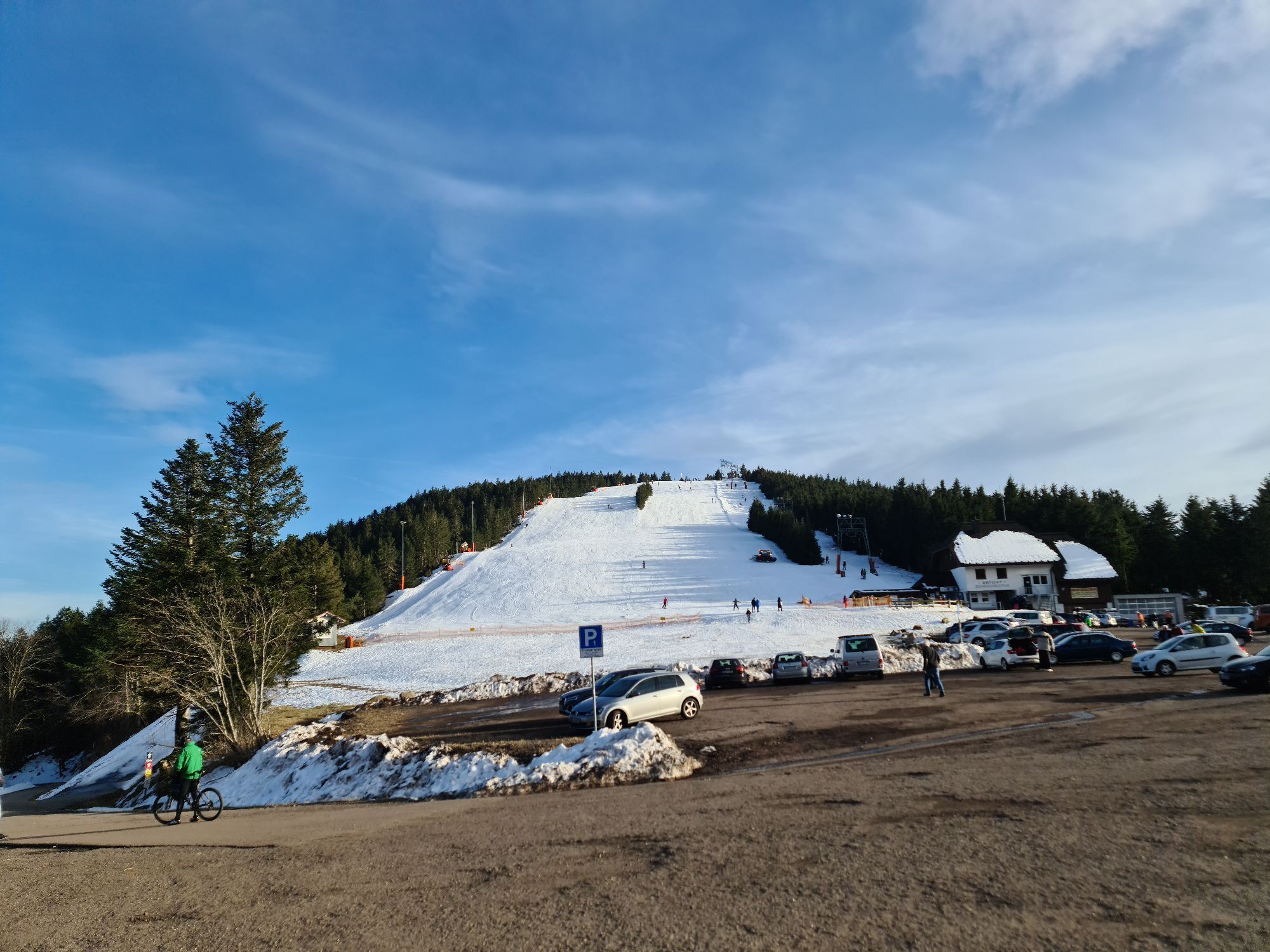
The trail run in Hinterlangenbach is a real highlight for athletes and enthusiastic runners! Despite the somewhat remote location in Hinterlangenbach, everyone gets their money's worth here. The route starts at the Forsthaus Auerhahn 4* in Hinterlangenbach. From there, it goes directly through the forest, initially over a wider path and then on natural trails uphill to the Wildsee. After this first stage, it goes steeply uphill over trees and stones to the Darmstätter Hütte. The path is now gravelled and wide, but the view towards Seibelseckle makes running a real pleasure. During the run, athletes look out over the Rhine Plain all the way to France. Upon reaching the Skilift Seibelseckle, the path continues straight ahead towards Hinterlangenbach. From now on, it is all downhill. A gravel path turns into an exciting trail through the forest and ends at the starting point at the Forsthaus Auerhahn 4*.

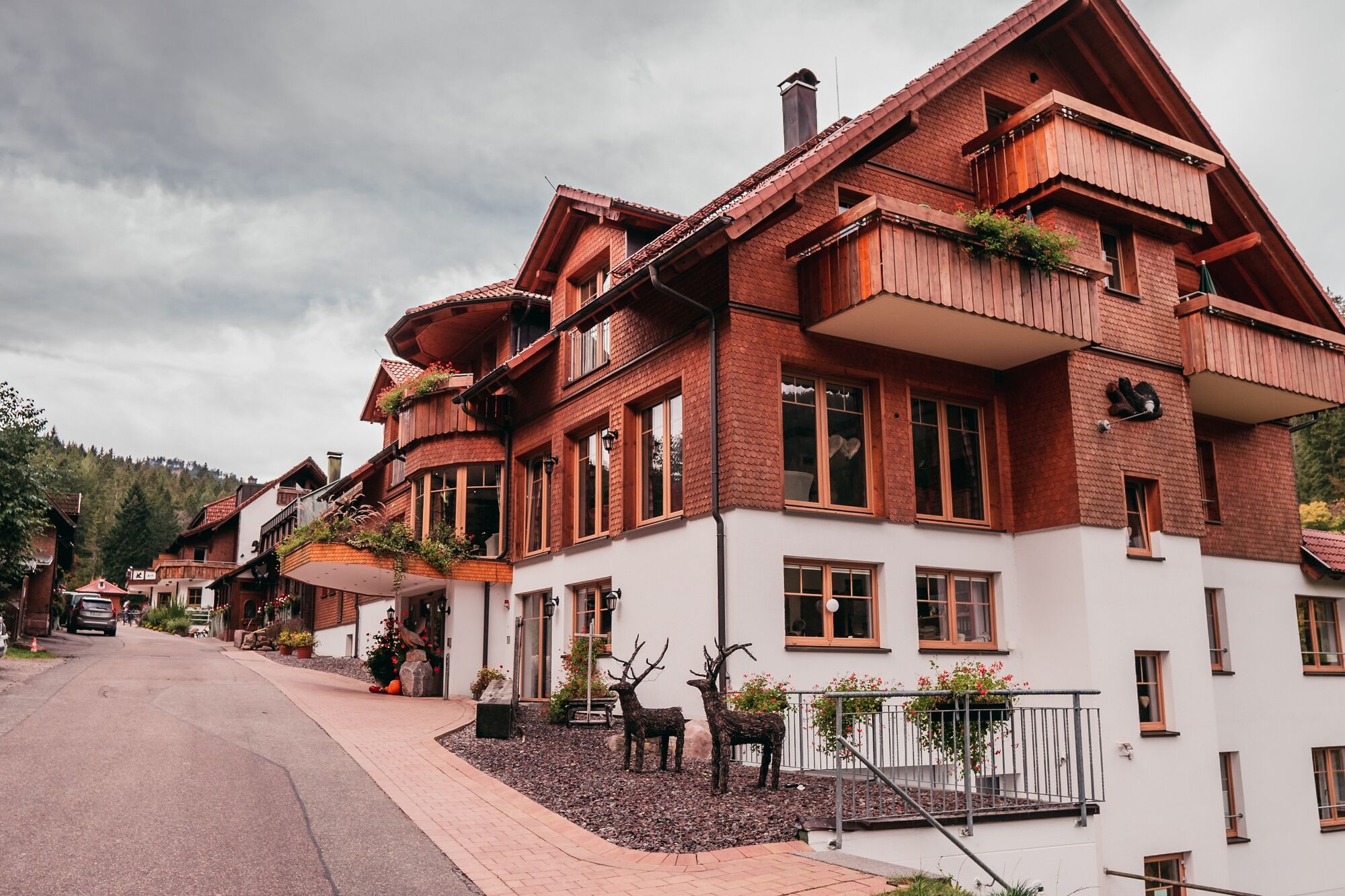
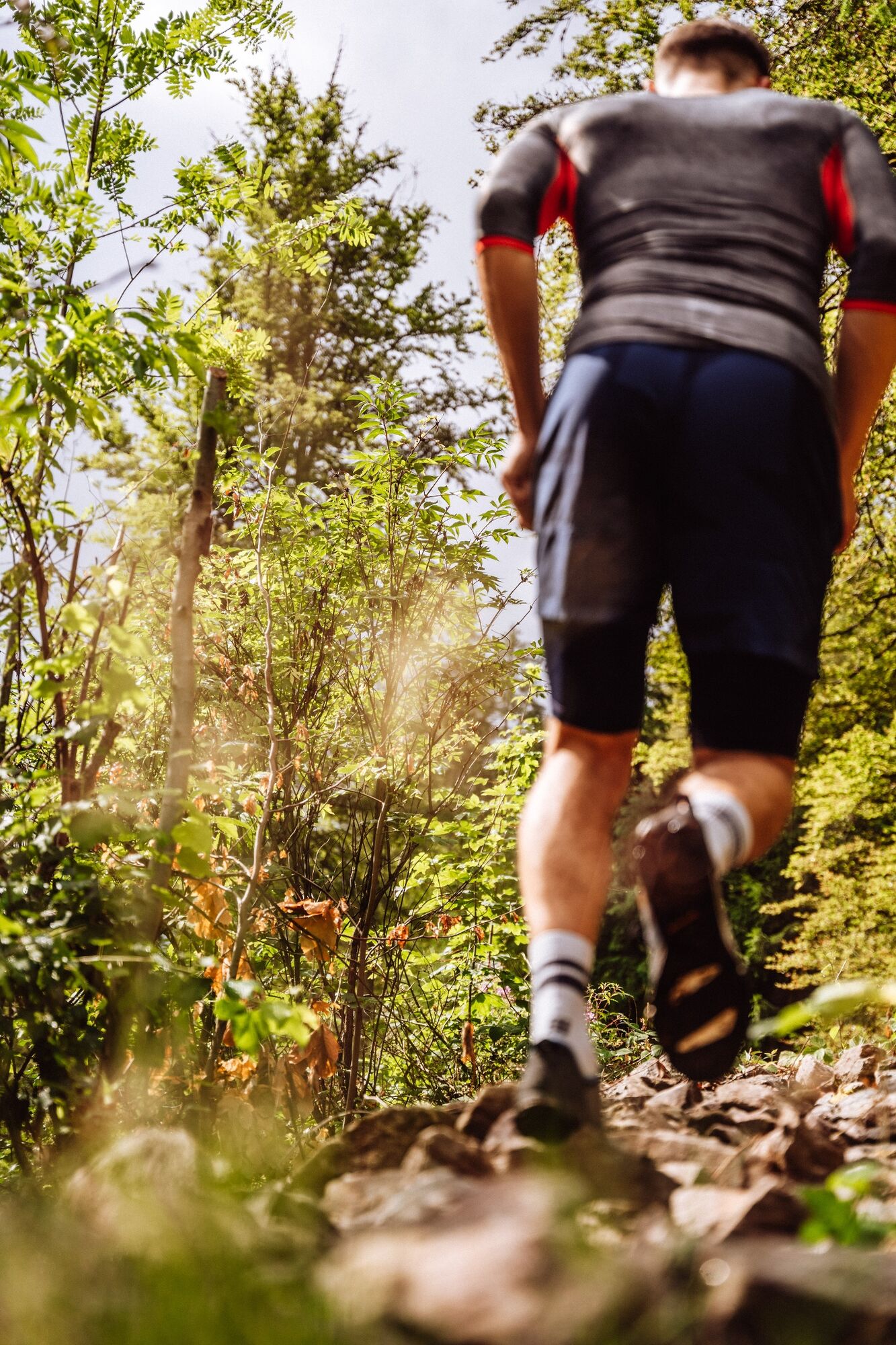
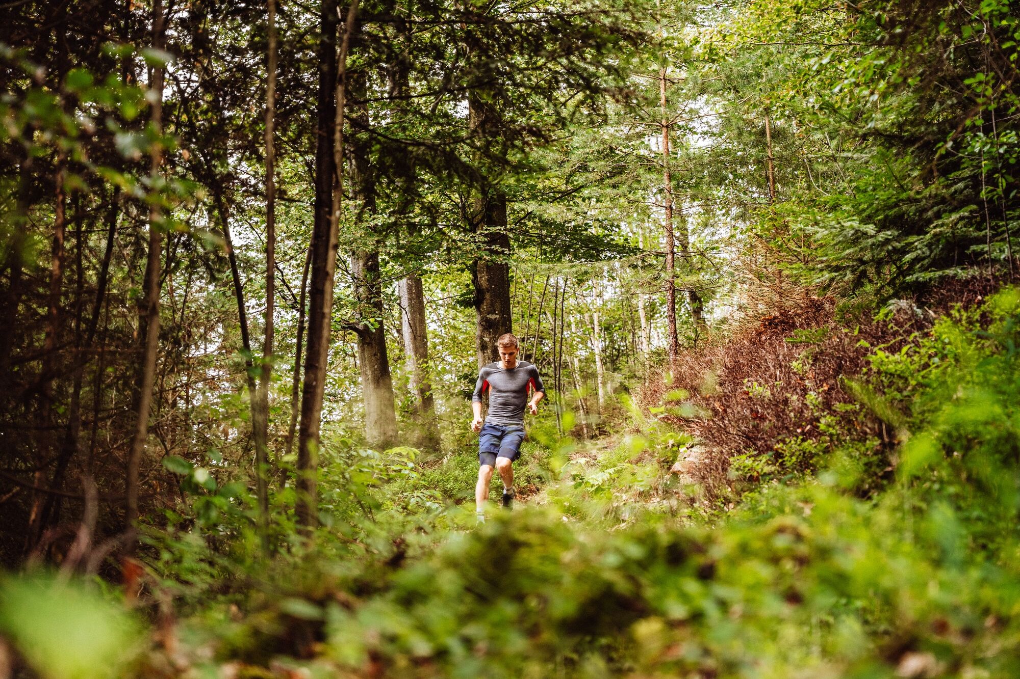
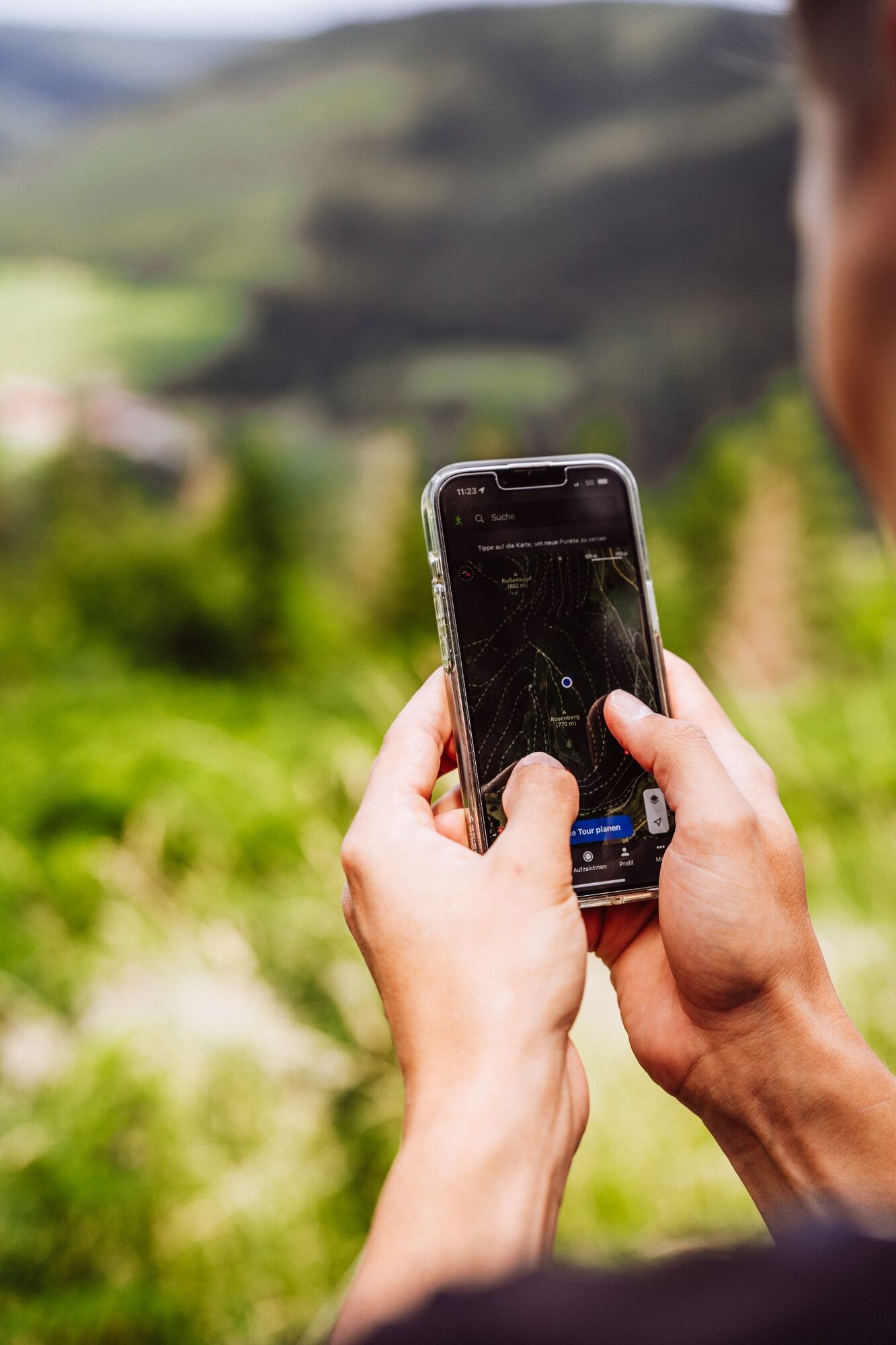


The route starts at the Hotel Forsthaus Auerhahn. From there, the route leads along a natural path to the Holzschlagbrunnen streets. Sharp right, it continues on a trail uphill to the Schlappdachhütte. Slightly uphill, follow the trail to the Wildsee. The first stage is thus completed. Along the right side of the lake, the trail route leads towards the Darmstätter Hütte. Then continue over the Skilift Darmstätter Hütte, then parallel to the Schwarzwaldhochstraße (B500) to the Skilift Seibelseckle. Straight ahead across the Seibelseckle parking lot, athletes follow the signage for the Bannwaldtour (green stag symbol) down to the starting point Forsthaus Auerhahn in Hinterlangenbach.
Tak
Running shoes with grip (preferably trail running shoes)
Drink
Appropriate clothing (breathable)
If necessary: trail running poles
Please check in advance for local trail closures or at the Baiersbronn hiking info center to see if the route is open. Tel.: +49 7442 8414-66.
In the national park area, there are especially in winter seasonal trail closures in wildlife protection areas. In particularly sensitive areas, these may last beyond winter.
The existing trails must not be left!
On the routes, avoid unnecessary noise, loud music or similar, as nature and fauna are disturbed!
Littering is strictly forbidden. Any waste must be collected and properly disposed of!
The spirit of sportsmanship and consideration for all athletes and nature lovers applies on these trails!
Car: Baiersbronn (B462) - direction Rastatt - turn left in Schönmünzach towards Hinterlangenbach
Bus: Line 23 (Klumpp Bus) - check the bus schedule
Parking lot Forsthaus Auerhahn Hinterlangenbach (free of charge)
Forsthaus Auerhahn
Darmstätter Hütte
Seibelseckle

 Uzyskaj wgląd
Zawsze na żywo z ponad 9 500 kamer internetowych. bergfex Jako użytkownik Pro, możesz teraz zobaczyć odpowiednie kamery internetowe dla wielu wycieczek w aplikacji wycieczki od. Pozwala to na bezpośredni podgląd aktualnych warunków.
Uzyskaj wgląd
Zawsze na żywo z ponad 9 500 kamer internetowych. bergfex Jako użytkownik Pro, możesz teraz zobaczyć odpowiednie kamery internetowe dla wielu wycieczek w aplikacji wycieczki od. Pozwala to na bezpośredni podgląd aktualnych warunków.

Popularne wycieczki w okolicy
-
5,0
Ottenhöfen - Eichkopf - Karlsruher Grat
średniWędrówka 13,7 km -
4,7
Kniebiser Heimatpfad - Wandern mit Genuss
światłoWędrówka 9,07 km -
3,9
Schnapsbrunnenweg 2
średniWędrówka 12,8 km -
4,5
Naturgewalten-Tour
Wędrówka 15,6 km -
4,0
Sankenbachwasserfälle und Glasmännlehütte am Stöckerkopf
średniWędrówka 12,8 km -
5,0
Bannwald-Tour
Wędrówka 13,3 km -
4,5
Schnapsbrunnenweg 1
światłoWędrówka 7,45 km -
5,0
Kniebis-Sankenbachwasserfälle-Sankenbachsee
średniWędrówka 7,98 km -
4,8
Ottenhöfen - Mühlenweg
średniWędrówka 13,4 km -
4,5
Lautenbacher Hexensteig
ciężkiWędrówka 15,3 km
Wędrówki i tropienie


Nie przegap ofert i inspiracji na następne wakacje
Twój adres e-mail została dodana do listy mailingowej.





