







AugenBlick route Obersasbach-Lauf-Sasbachwalden


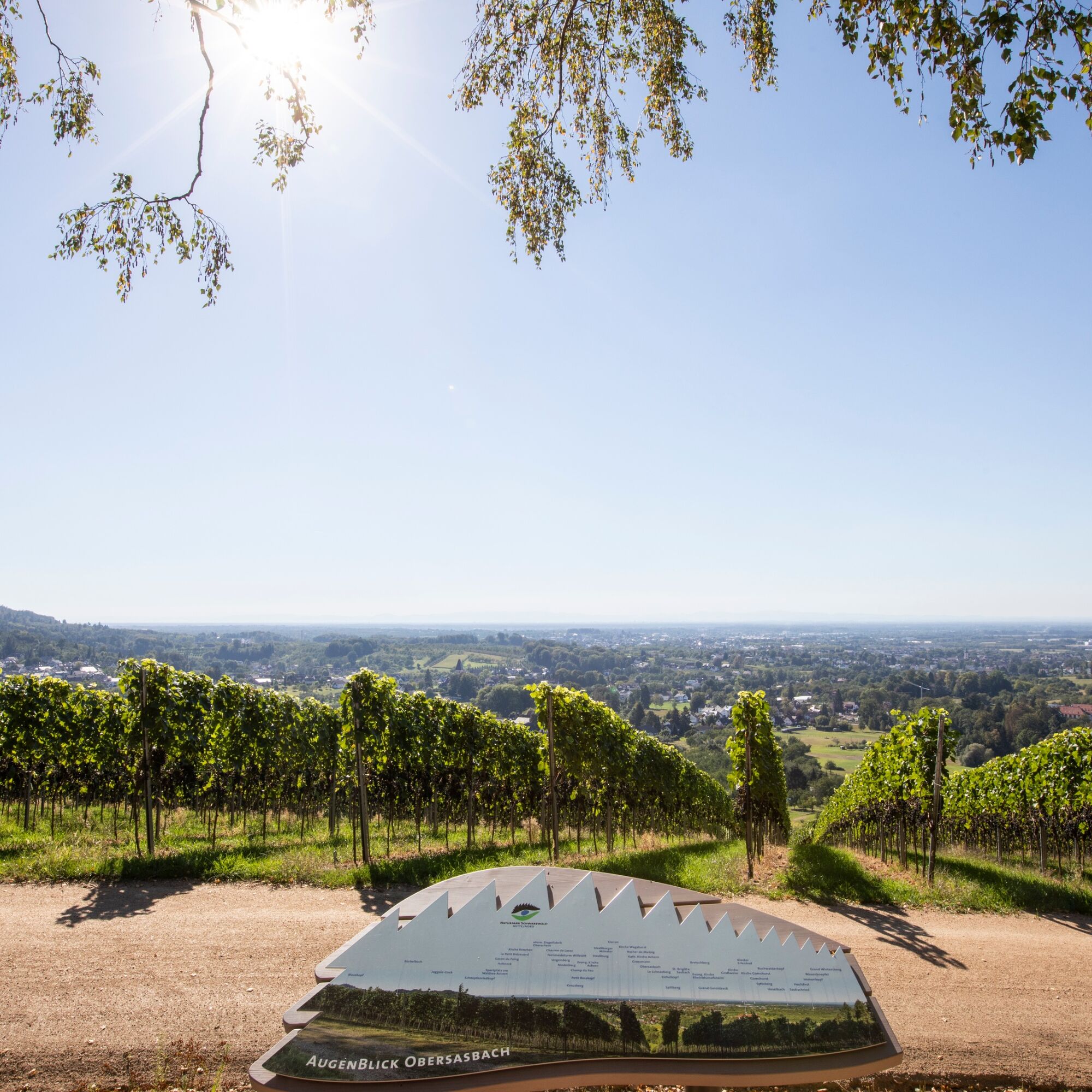
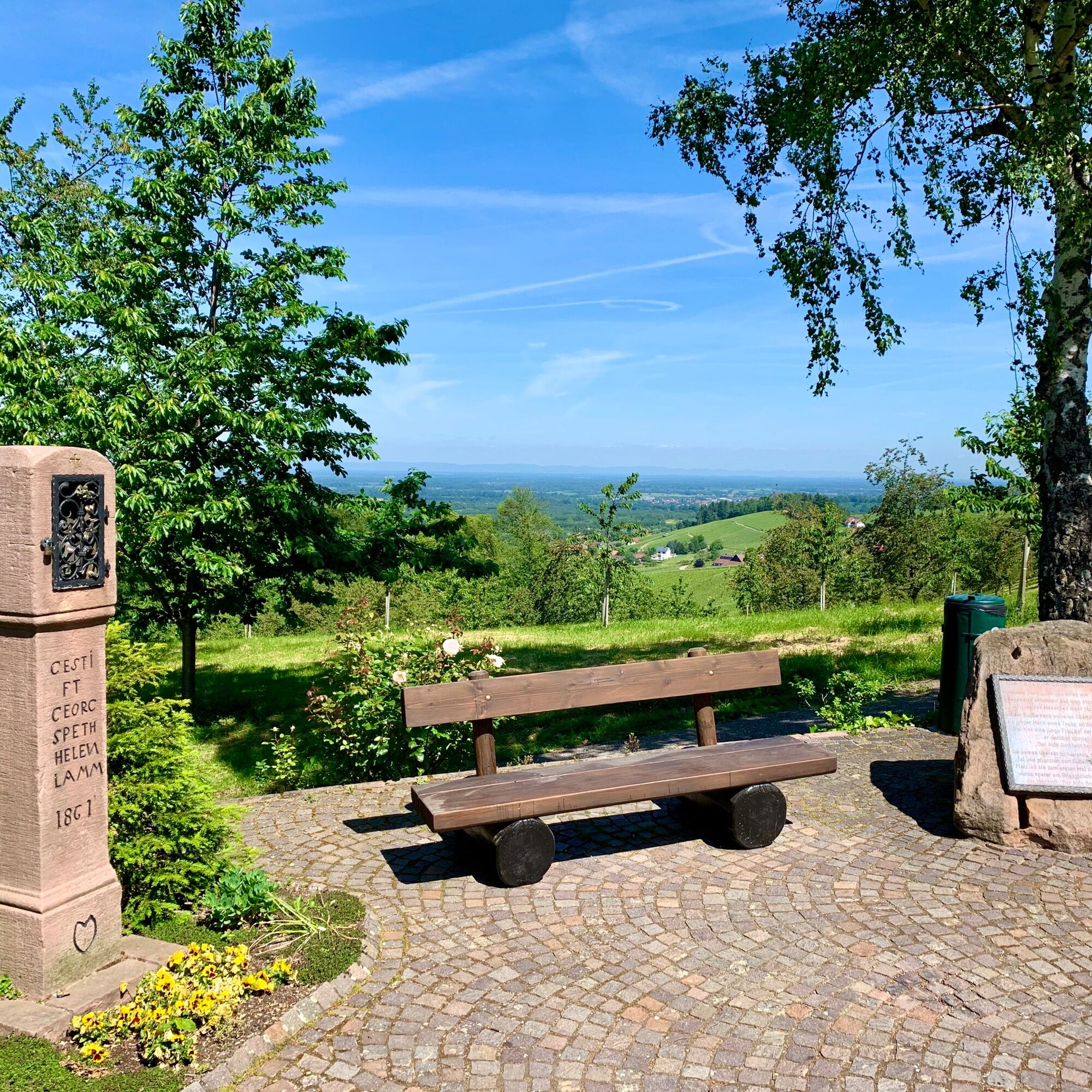
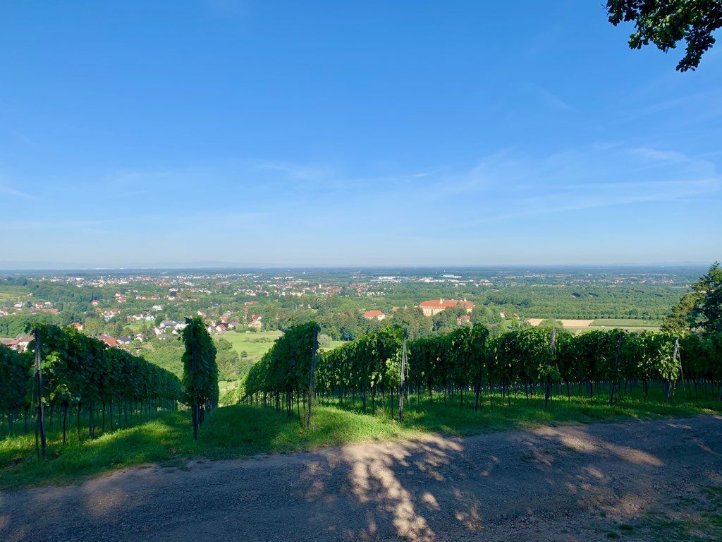
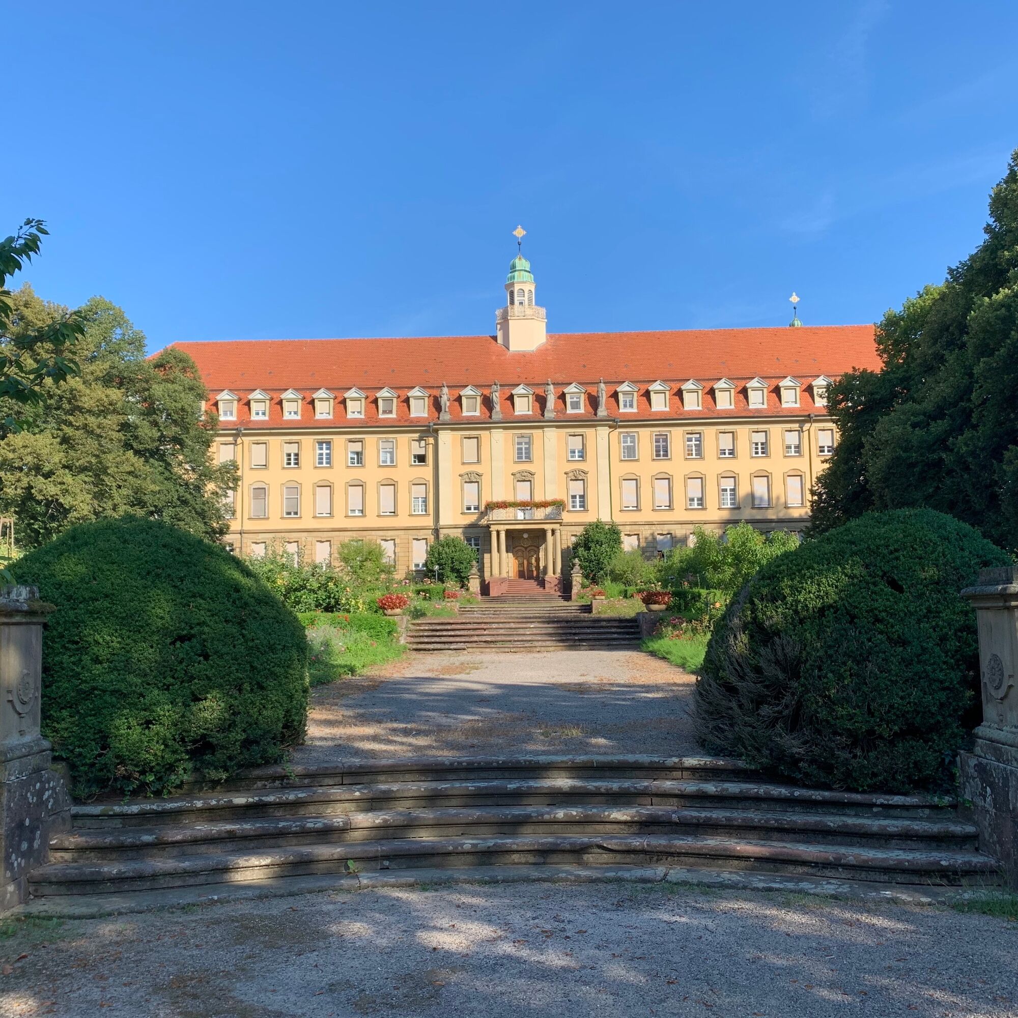
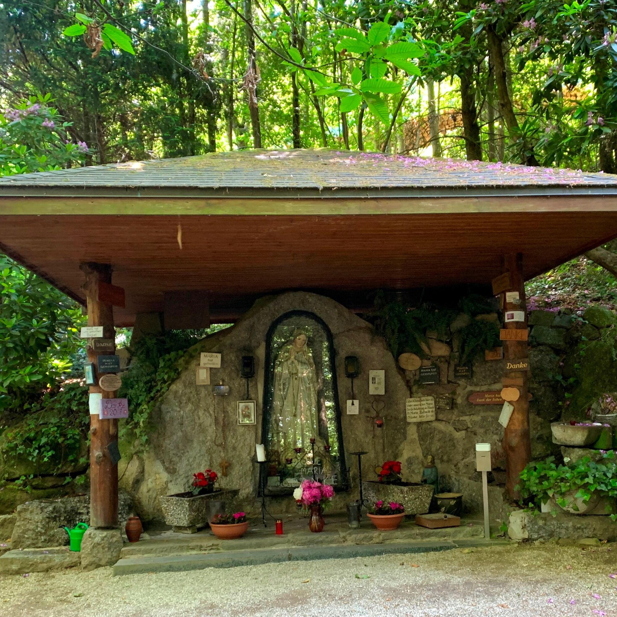
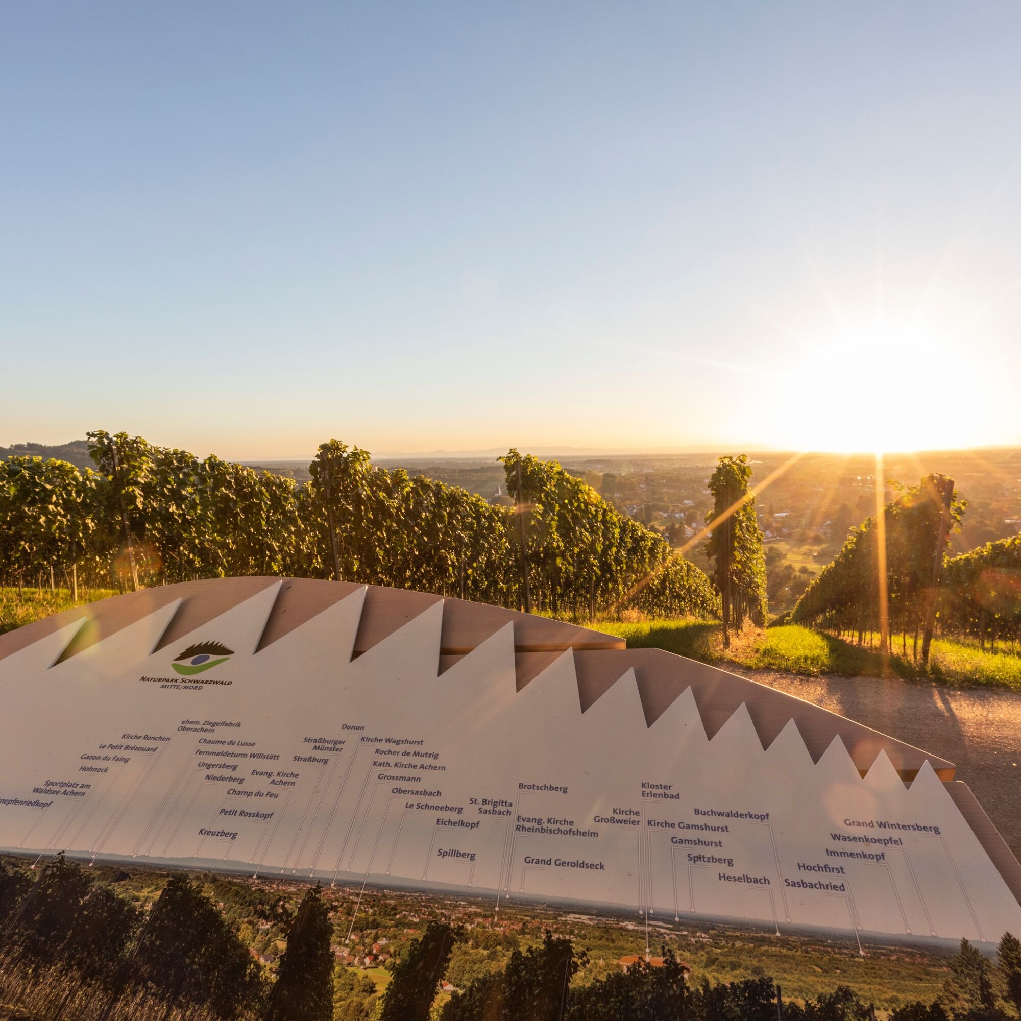
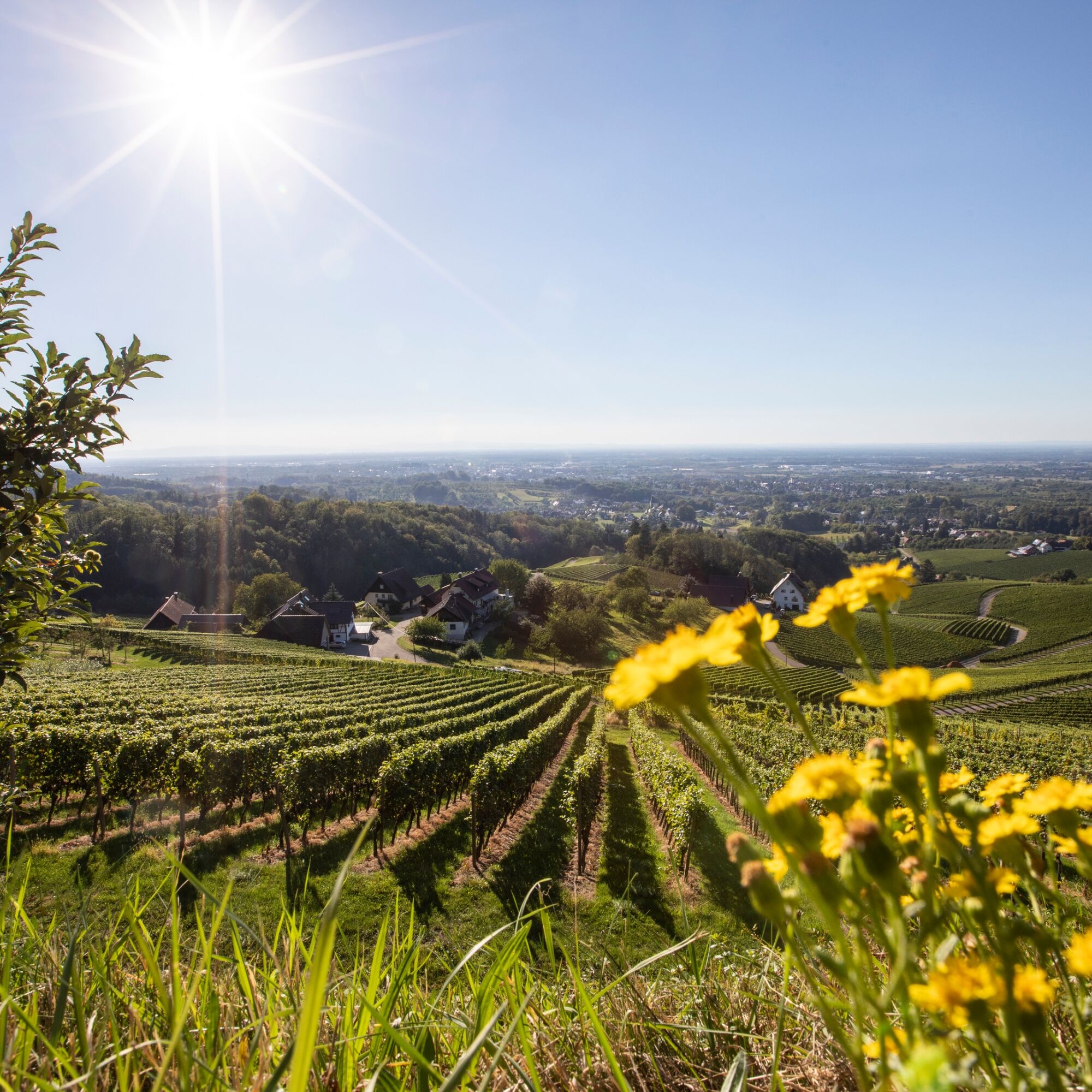

Starting point and parking at the church in Obersasbach. From here, the path goes over the Sulzbächel to the Erlenbad monastery. The route follows narrow paths along the Aubächle to the AugenBlick location with breathtaking views over the Rhine Plain to the Vosges. It goes steeply uphill to Presteneck, partly over steps and winding paths. Shortly before reaching the highest point, the Fatima Grotto invites you to a contemplative rest. At Gästehaus Zink, there is a schnapps fountain and a public toilet. From Murberg, you continue walking through the vineyards, past the Alde Gott wayside shrine back to the starting point.
Sturdy footwear recommended
By car: Sasbach is located in the Black Forest, at the foot of the Hornisgrinde. You can conveniently reach us via the A5 motorway junction Achern >3 km
About 25 parking spaces are available free of charge at the church square in Obersasbach.
More information about other Naturpark Augenblick routes can be found here: https://www.naturpark-augenblicke.de/



Popularne wycieczki w okolicy
- 4,9
Ottenhöfen - Eichkopf - Karlsruher Grat
średniWędrówka 13,7 km - 3,9
Schnapsbrunnenweg 2
średniWędrówka 12,8 km - 4,7
Bannwald-Tour
Wędrówka 13,3 km - 4,8
Schnapsbrunnenweg 1
światłoWędrówka 7,45 km - 4,7
Ottenhöfen - Mühlenweg
średniWędrówka 13,4 km - 4,5
Lautenbacher Hexensteig
ciężkiWędrówka 15,3 km - 4,0
Gertelbacher Wasserfälle
ciężkiWędrówka 18 km - 4,4
Seebach - Genießerpfad Mummelsee-Hornisgrindepfad
średniTrasa tematyczna 6,70 km Hundseck - Hochkopf - Hornisgrinde Bühlertal, Baden-Württemberg
światłoWędrówka 15,5 km- 4,3
Mummelsee - Hornisgrinde - Kleine Grinde - Berghotel Mummelsee
średniWędrówka 11,5 km
Wędrówki i tropienie


Nie przegap ofert i inspiracji na następne wakacje
Twój adres e-mail została dodana do listy mailingowej.





