







City walk in Nagold

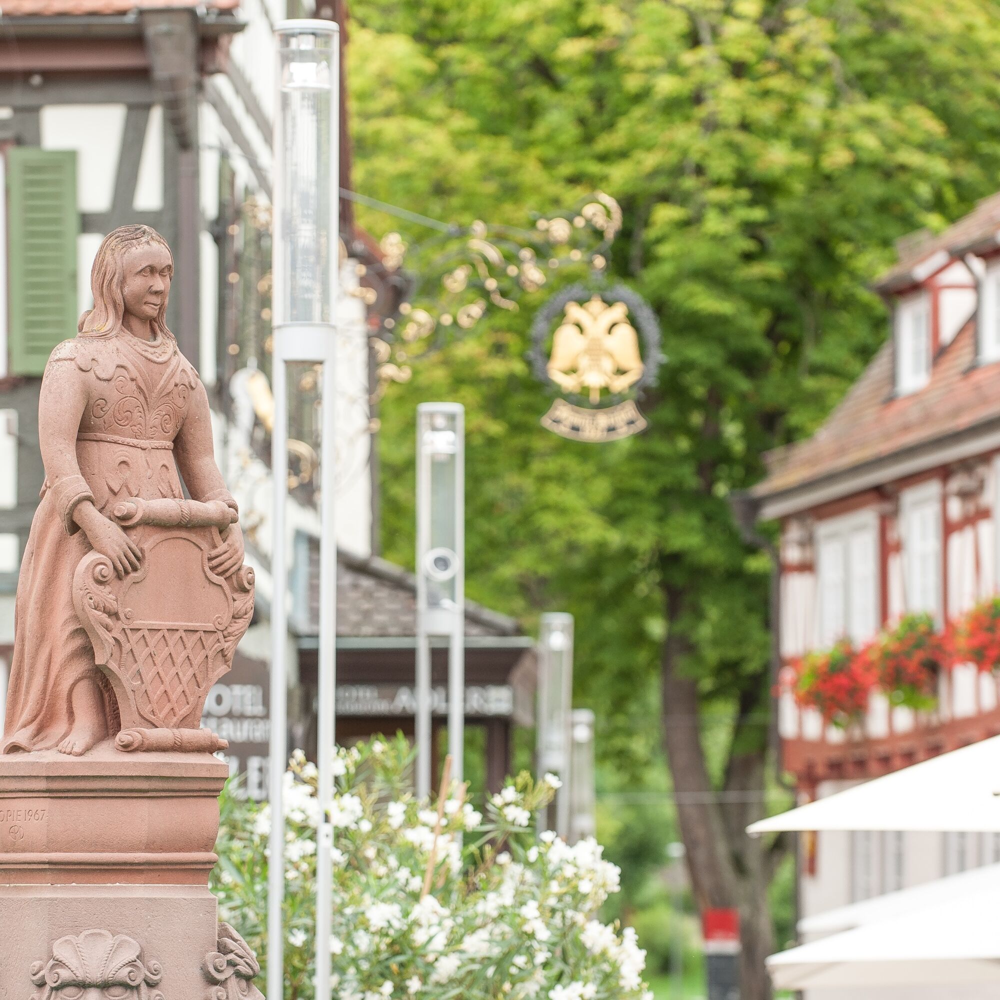
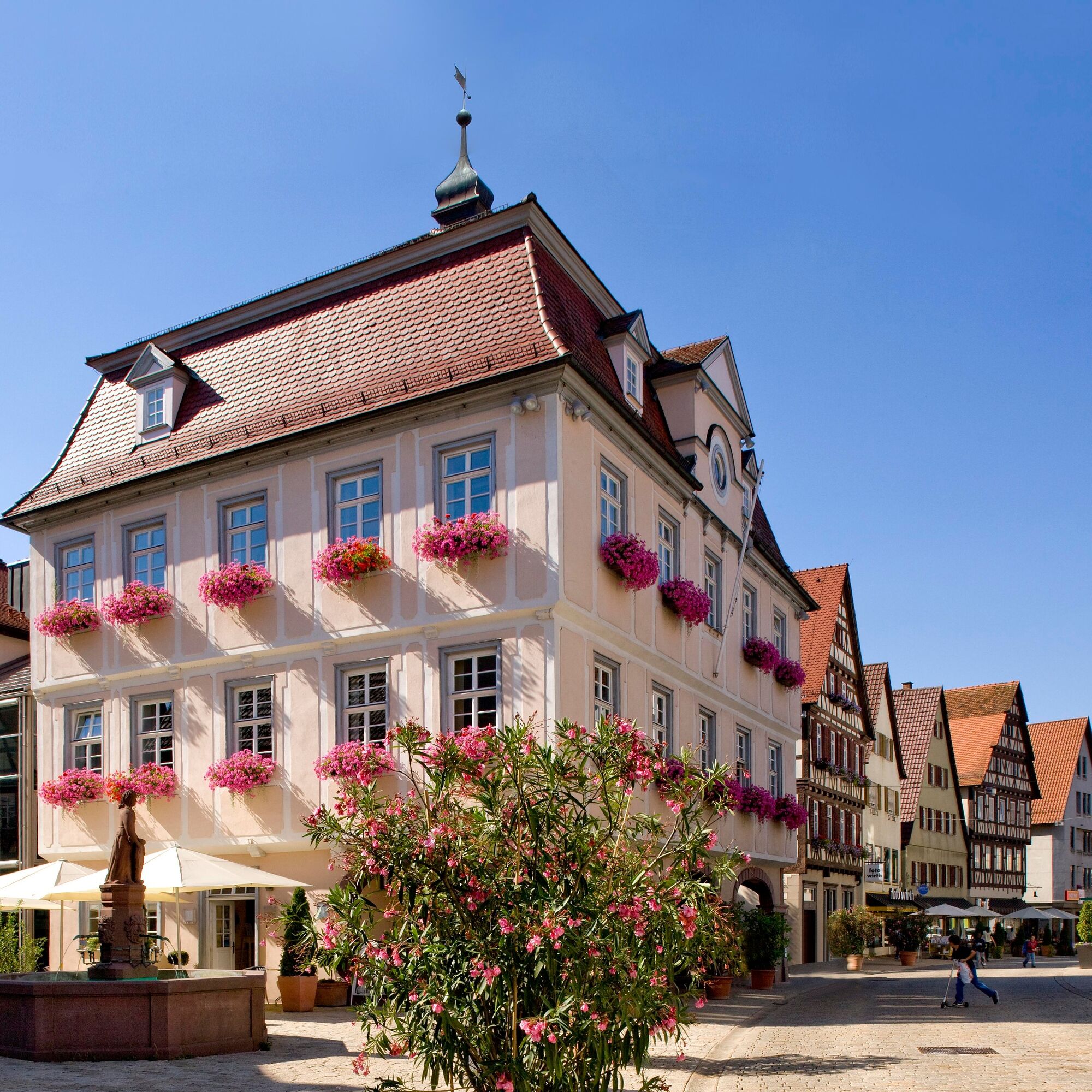
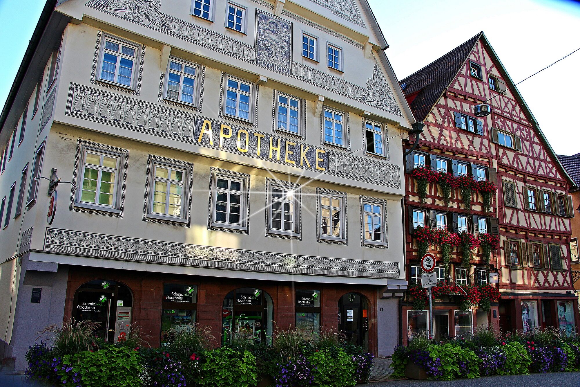
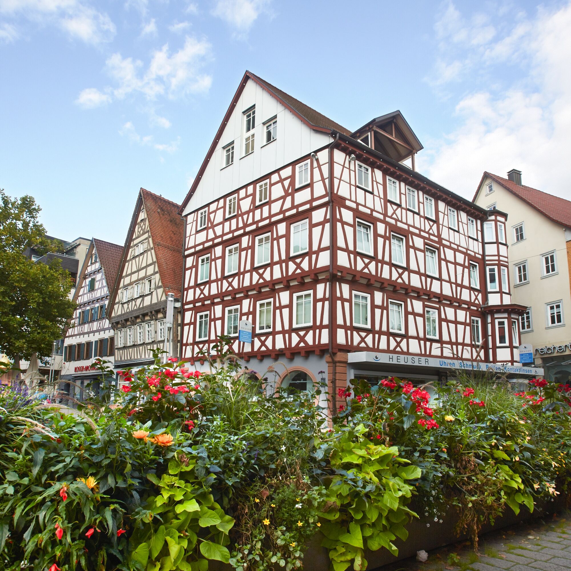
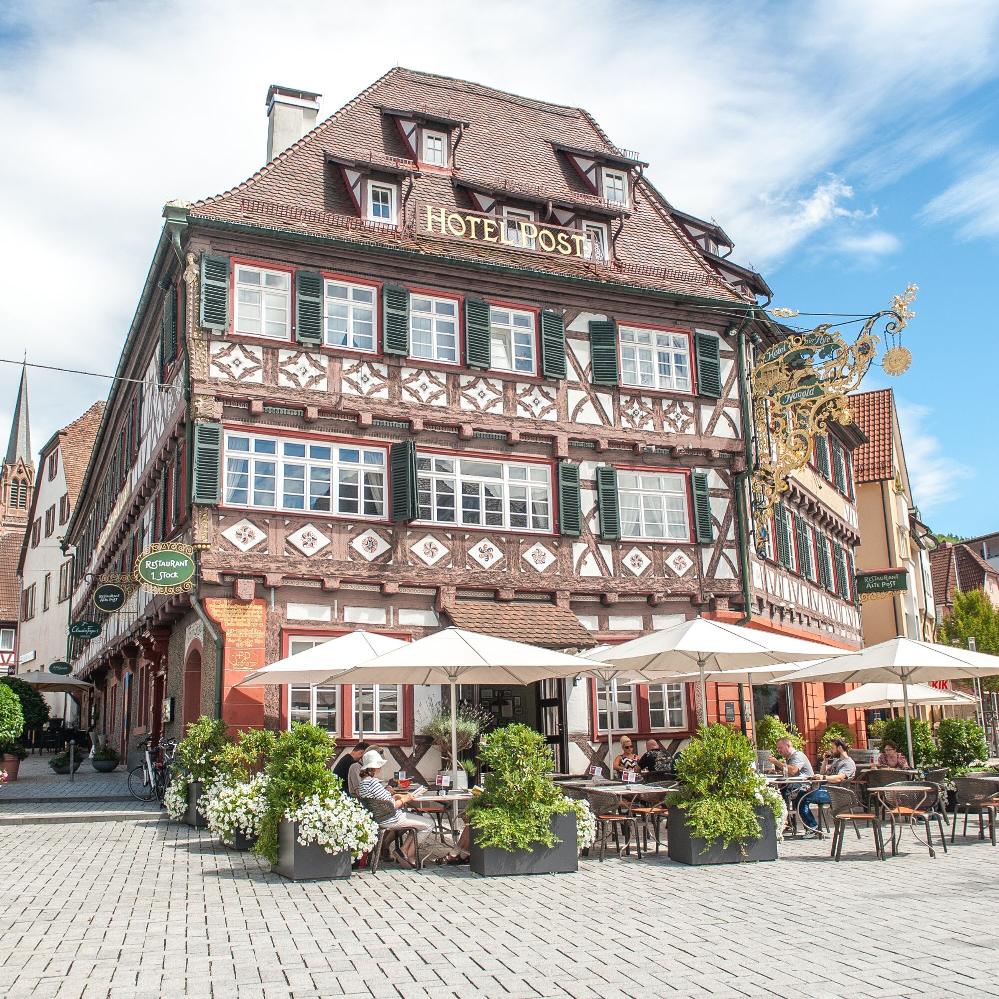
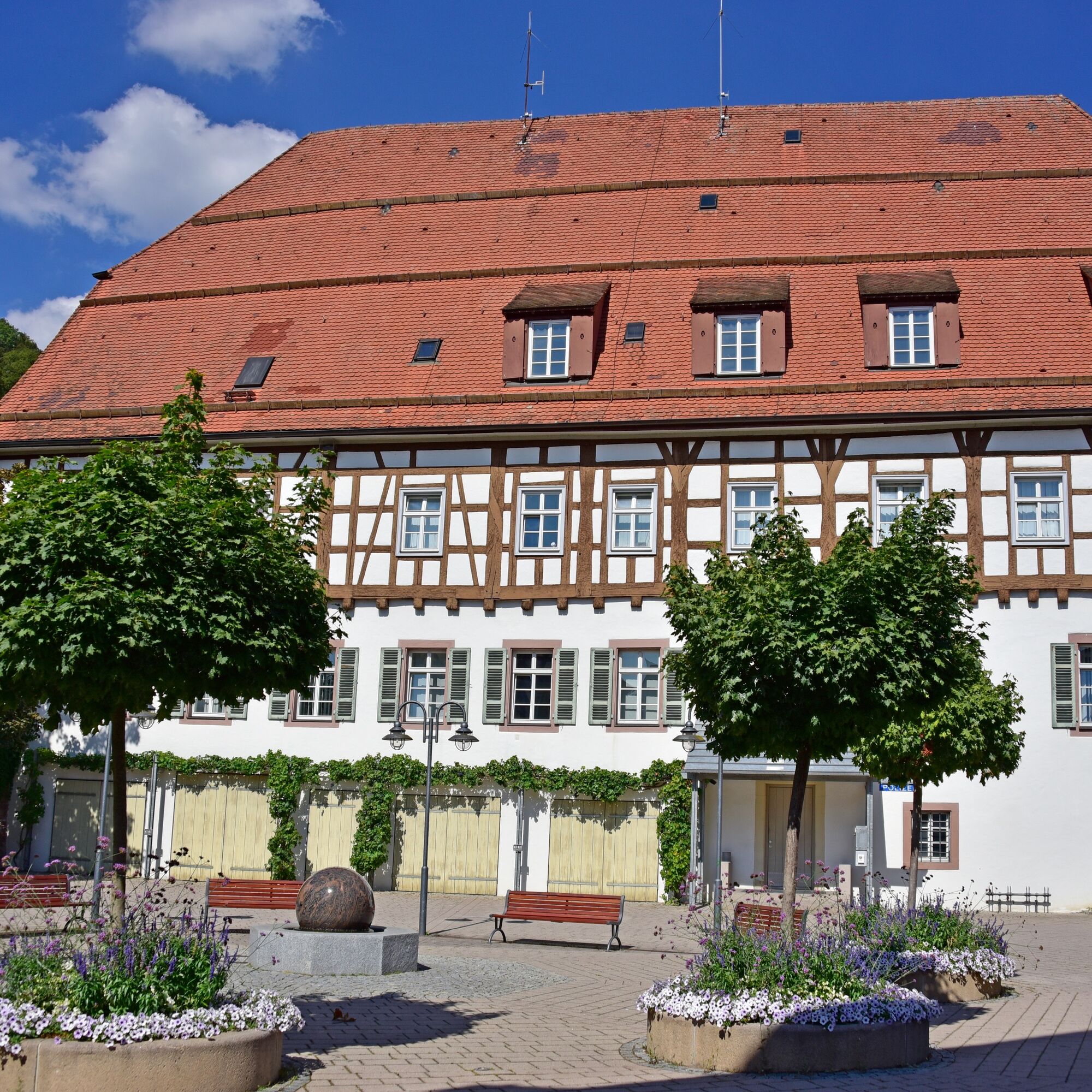
Historically significant buildings and archaeological monuments document the history of Nagold. The walk leads through the historic old town, past lovingly restored half-timbered houses and many other...
Historically significant buildings and archaeological monuments document the history of Nagold. The walk leads through the historic old town, past lovingly restored half-timbered houses and many other sights. At a total of 21 stations, you will learn interesting facts about the old buildings and their origins.
All texts, pictures, and a map are contained in the associated brochure; there are no signposts in the city. The flyer is available at the tourist information in the town hall.

Tak
Tak
Tak
No special equipment required.
Motorway A 81 [Stuttgart-Singen]
Rottenburg exit, distance 13 km
B 28 [Herrenberg-Freudenstadt]
B 463 [Pforzheim-Horb]
Bus:
The starting point of the route next to the town hall is less than 300 meters from the Nagold central bus station (ZOB). It provides bus connections to all Nagold districts as well as to Herrenberg (with a transfer option towards Stuttgart), Horb, Altensteig, Wildberg, Bondorf, and Haiterbach.
From there, walk in front of the H&M building into Waldachstraße. At the end of the street, turn left into Marktstraße. After a few hundred meters, you reach the Urschel Fountain, the starting point of the city walk.
Train:
The starting point of the route next to the town hall is approximately 500 meters from the Nagold-Stadtmitte station. The Nagold Valley Railway runs from there toward Pforzheim (via Calw) and Horb.
From the station, walk along Herrenberger Straße towards the city center. At Vorstadtplatz, turn right into Marktstraße and follow it to the Urschel Fountain, the starting point of the city walk.
Parking in Nagold
Recommended: Innenstadt Ost parking garage, Innenstadt Nord underground car park, Waldach-Passage parking garage, Traube-Center underground car park
https://www.nagold.de/de/Freizeit-Tourismus/Nagold-entdecken/Sehenswuerdigkeiten/Historischer-Stadtrundgang
Even outside the center, there are historic buildings to admire, such as the Hohennagold castle ruins, the Remigius Church, or the Zeller-Mörike Garden.
Popularne wycieczki w okolicy
-
5,0
GeoTour Wildberg through the picturesque Lützenschlucht
ciężkiWędrówka 2,80 km -
5,0
Altensteig Nature Adventure Trail
średniWędrówka 11,6 km -
4,5
Waldeck ruins and the largest water wheel in Europe
średniWędrówka 15,4 km -
4,0
Naturpark-AugenBlick-Runde Calw-Holzbronn
średniWędrówka 13,3 km -
5,0
Above the clouds towards Wildberg
średniWędrówka 8,15 km -
4,0
Nature Park AugenBlick route Egenhausen
średniWędrówka 11,3 km -
Reizvolles Zinsbachtal
średniWędrówka 17,8 km -
Circular hike around Monhardt
średniWędrówka 8,72 km -
Stream Experience Trail Iselshausen
światłoTrasa tematyczna 0,65 km -
Naturpark-AugenBlick round "Hornberger Höhe"
średniWędrówka 16,4 km
Wędrówki i tropienie


Nie przegap ofert i inspiracji na następne wakacje
Twój adres e-mail została dodana do listy mailingowej.





