







The somewhat different Nagold fruit tree trail

The somewhat different fruit tree trail was designed for the State Garden Show 2012 by the Nagold Citizen Forum, Environment and Traffic Working Group, to bring the topic of orchard meadows closer to interested...
The somewhat different fruit tree trail was designed for the State Garden Show 2012 by the Nagold Citizen Forum, Environment and Traffic Working Group, to bring the topic of orchard meadows closer to interested parties. Along the route, various fruit trees such as plum, pear, sour cherry, and apple have been planted on private property and in public spaces. You can see a variety of fruit tree species in different growth forms.
In keeping with the motto at the time - "Green Urbanity" - a total of 7 panels provide information along the route on fruit tree topics and interesting facts such as Nagold as a nursery town, from the wedding tree meadow to renewable energies or the Celtic princely burial mound in Krautbühl.
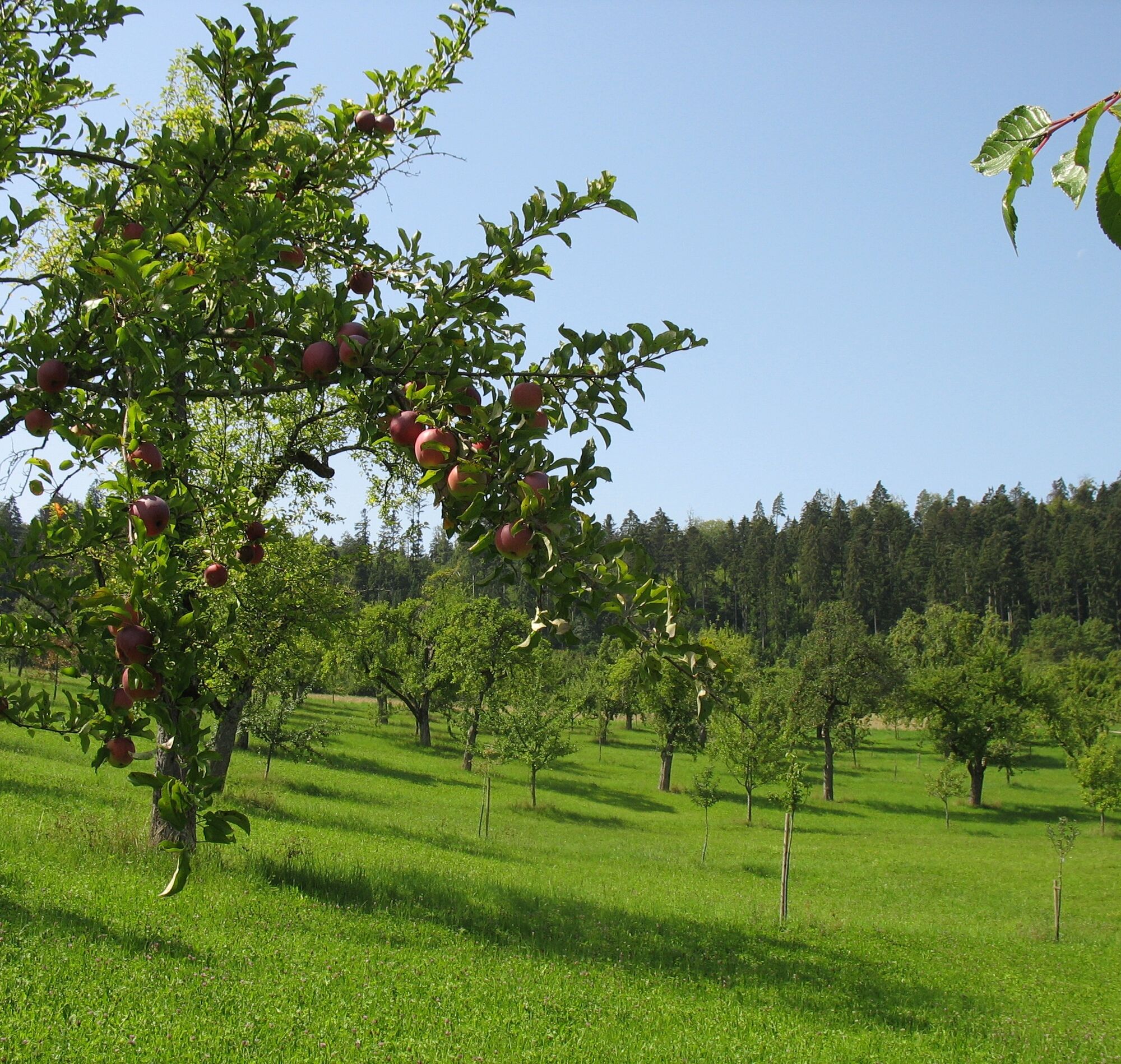
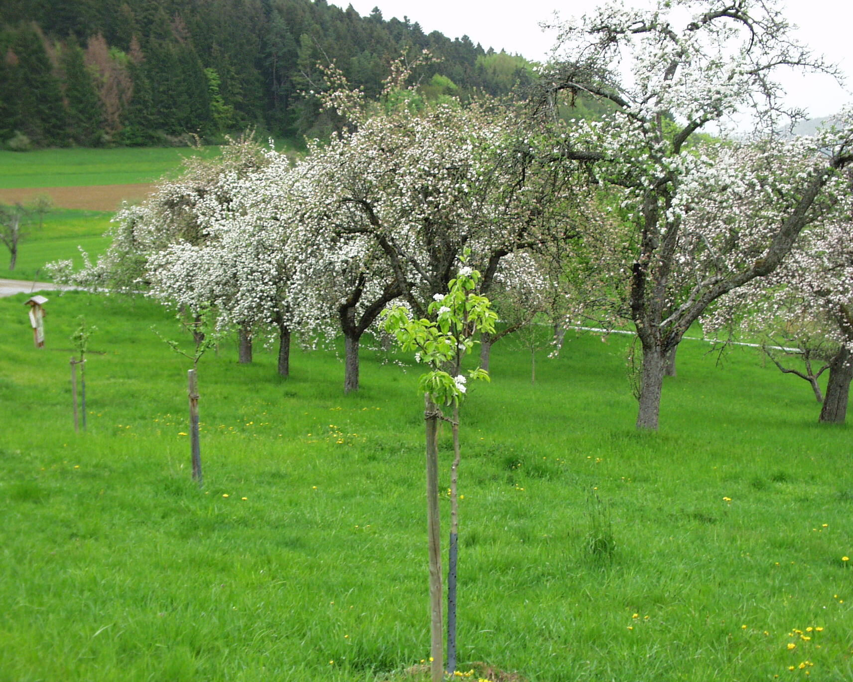
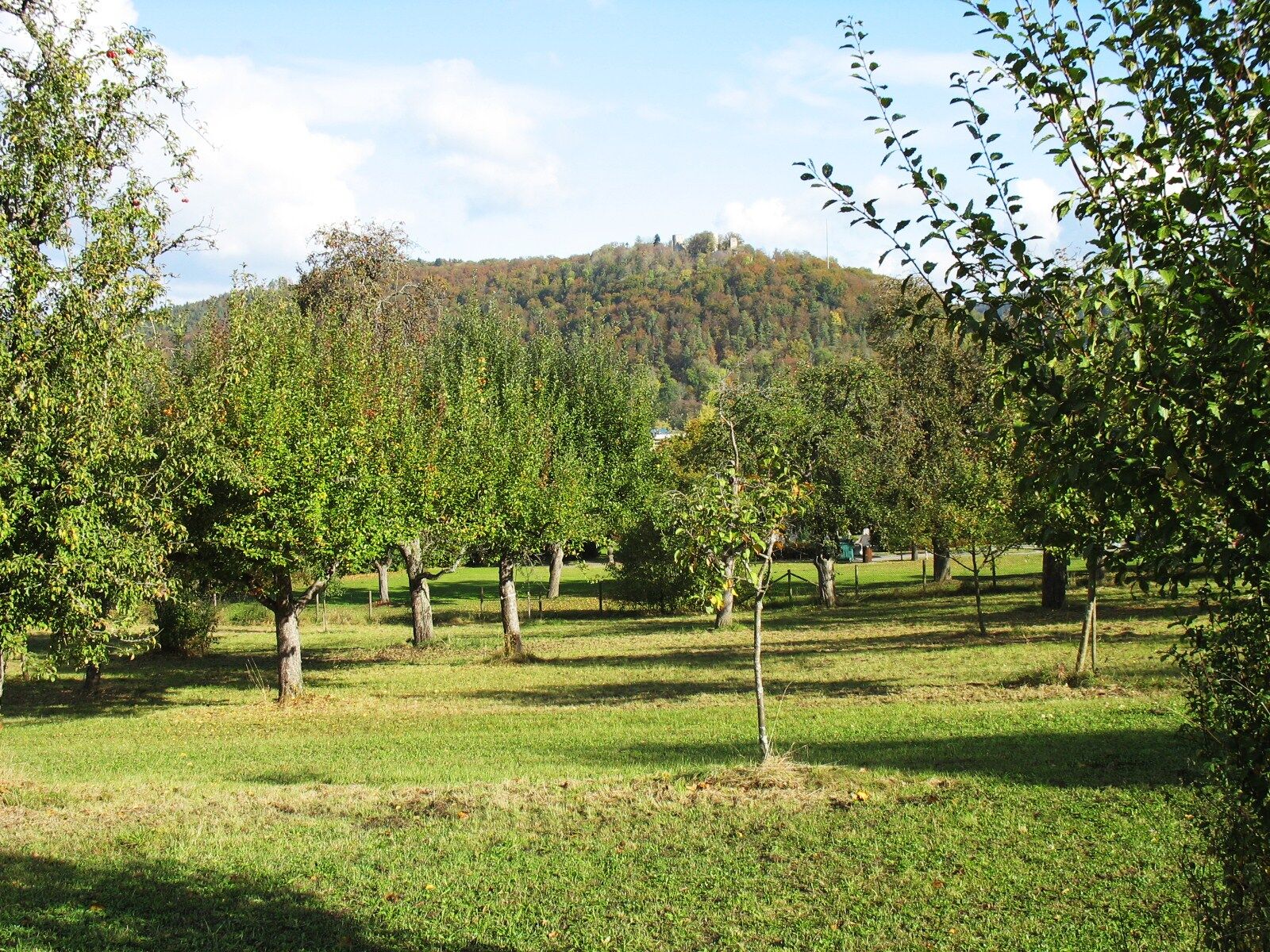
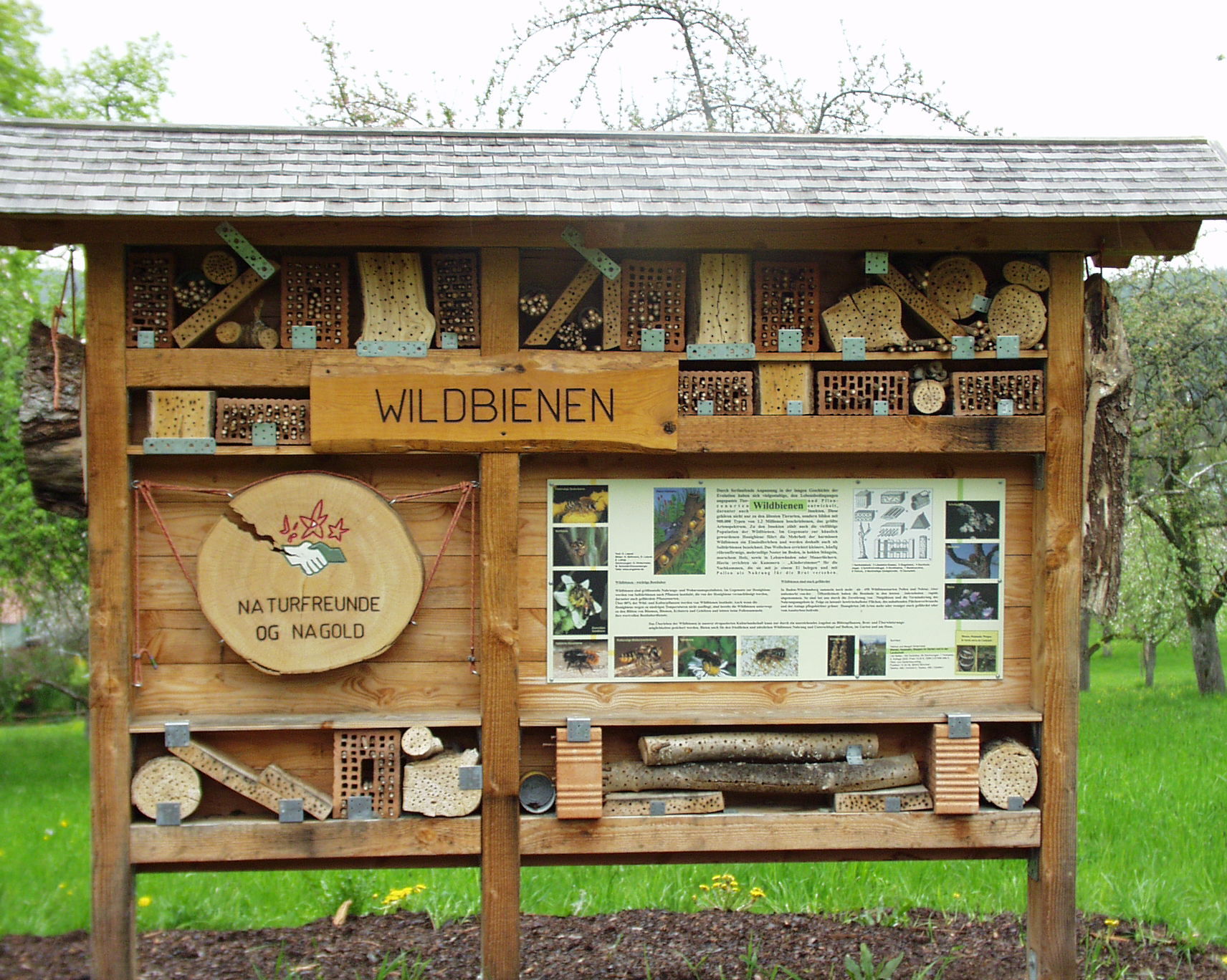

Tak
No special equipment required.
Highway A 81 [Stuttgart-Singen]
Exit Rottenburg, distance 13 km
B 28 [Herrenberg-Freudenstadt],
B 463 [Pforzheim-Horb]
Bus:
The starting point of the hike at the youth arts school is located directly at the rarely served Viadukt bus stop.
Therefore, it is advisable to take the bus to the Nagold central bus station (ZOB). This is about 700 meters from the start of the route. There are bus connections to all Nagold districts as well as in the directions of Herrenberg (transfer option towards Stuttgart), Horb, Altensteig, Wildberg, Bondorf, and Haiterbach.
From the ZOB, walk left in front of the Edeka building and follow Meisterweg until you reach the roundabout. There, turn onto Lindachstraße and follow it to the youth arts school.
Train:
The starting point of the hike is approximately 800 meters from Nagold-Steinberg station.
Alternatively, you can reach the Nagold central bus station (ZOB) from Nagold city center station by walking 500 meters via Herrenberger Straße and Freudenstädter Straße and then walk from there to the starting point.
At both stations, the Nagoldtalbahn runs connections to the IC towards Pforzheim (via Calw) and Horb.
Parking in Nagold
Recommended: Parking garage "Waldach-Passage"
A guided hike along the fruit tree trail can be booked through the "Environment and Traffic" working group.
The route is worthwhile during the most beautiful bloom of the fruit trees in spring.
Popularne wycieczki w okolicy
-
5,0
GeoTour Wildberg through the picturesque Lützenschlucht
ciężkiWędrówka 2,80 km -
5,0
Altensteig Nature Adventure Trail
średniWędrówka 11,6 km -
4,0
Naturpark-AugenBlick-Runde Calw-Holzbronn
średniWędrówka 13,3 km -
5,0
Above the clouds towards Wildberg
średniWędrówka 8,15 km -
4,0
Nature Park AugenBlick route Egenhausen
średniWędrówka 11,3 km -
Reizvolles Zinsbachtal
średniWędrówka 17,8 km -
Circular hike around Monhardt
średniWędrówka 8,72 km -
Stream Experience Trail Iselshausen
światłoTrasa tematyczna 0,65 km -
Naturpark-AugenBlick round "Hornberger Höhe"
średniWędrówka 16,4 km -
Romantic gorge border hike
ciężkiWędrówka 11,5 km
Wędrówki i tropienie


Nie przegap ofert i inspiracji na następne wakacje
Twój adres e-mail została dodana do listy mailingowej.





