



Shepherd`s Path (Hirtenpfad) in glorious white - the snowshoe hike

The Hirtenpfad leads you along varied terrain, white expanses, snow-covered forest edges and rocks. With magnificent views of the Gletscherhochtal valley with its beautiful Black Forest farms, across the...
The Hirtenpfad leads you along varied terrain, white expanses, snow-covered forest edges and rocks. With magnificent views of the Gletscherhochtal valley with its beautiful Black Forest farms, across the Ursee valley to Lenzkirch, to the Hochfirst and, on a clear day, as far as the Alps, you hike around Raitenbuch.

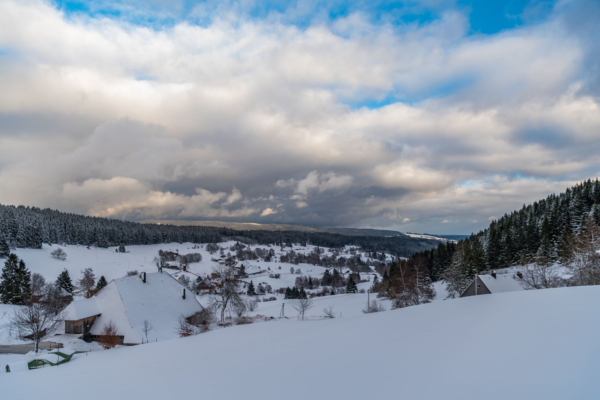
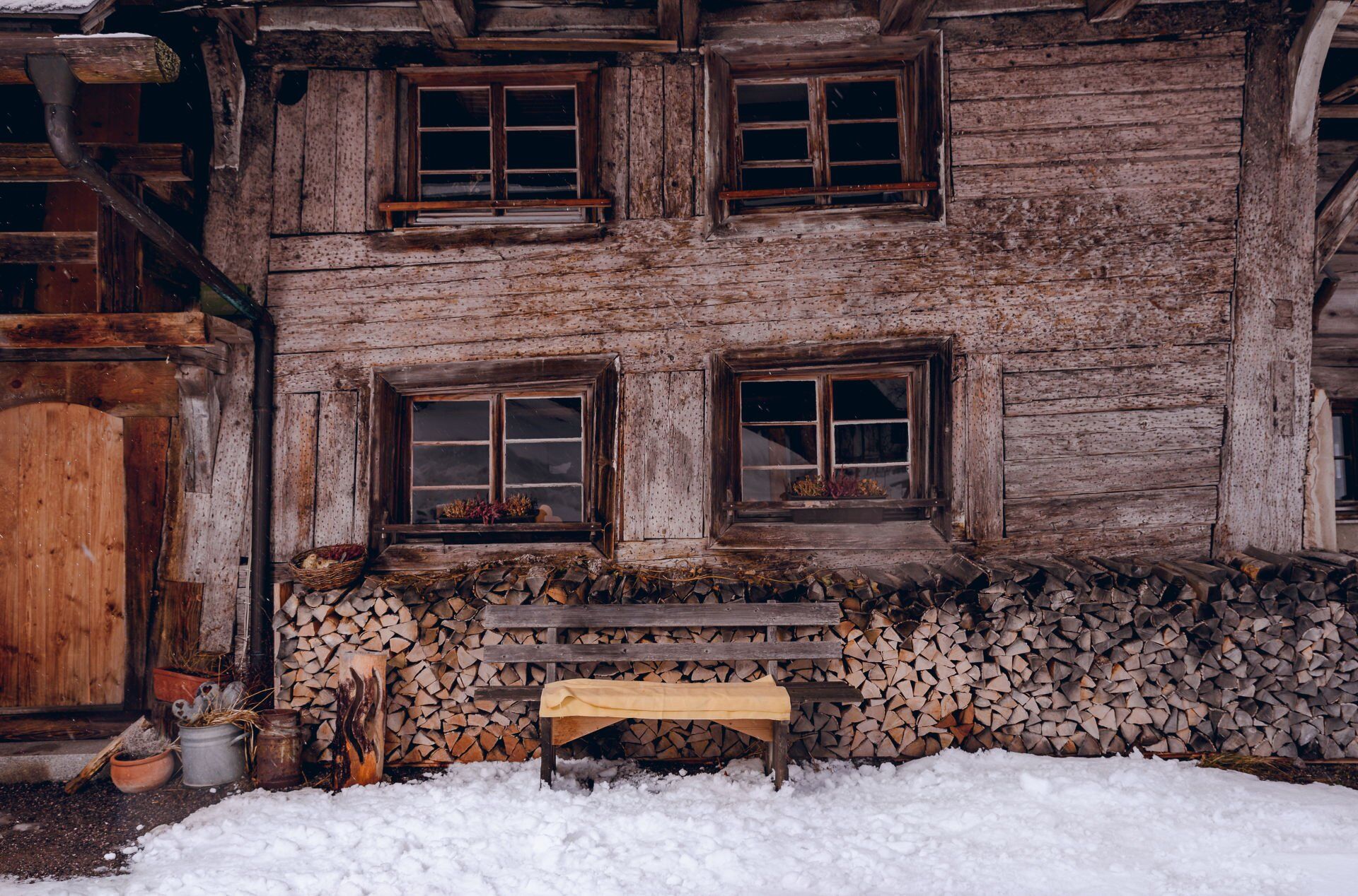
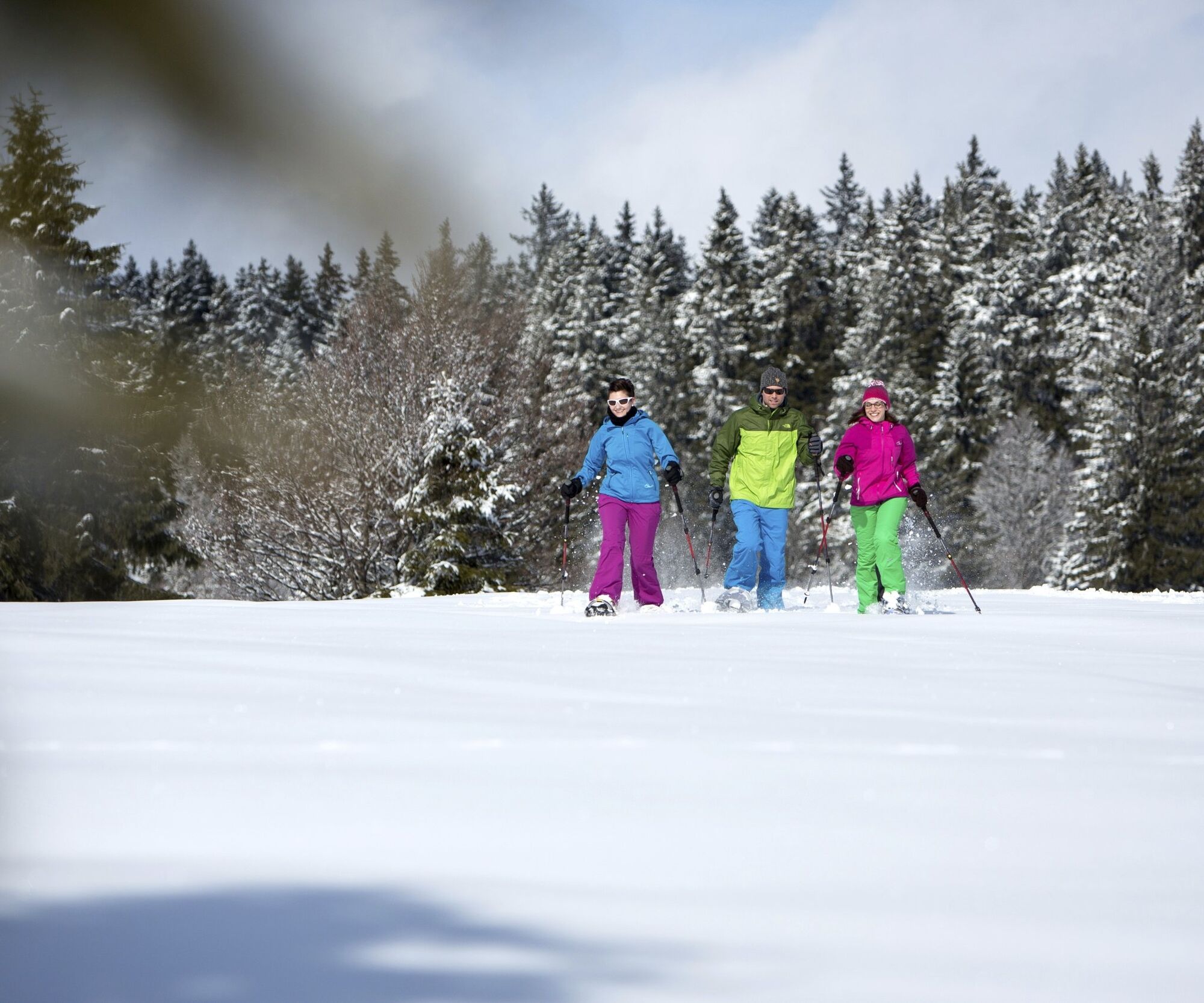

You start one of the most beautiful snowshoe trails in the Upper Black Forest on the Raitenbucher Höhe (1050 m above sea level) with a view over Raitenbuch and northwards to the Hochfirst. The trail can be walked in both directions and is signposted with round signs. Follow the route downhill towards Raitenbuch and Lenzkirch. The trail branches off to the right opposite the signpost for the Hirtenpfad. It leads you downhill along the edge of the forest, through the forest and across snow-covered meadows. After a climb at the edge of the forest, the route branches off to the left and leads down an open basin to a path that takes you to the next farm. There you turn right across the open landscape and cross the Raitenbucher Straße. You pass through a beautiful hedgerow landscape above, cross a narrow local road and turn right and soon sharp left across slightly ascending fields to Berger Straße. A steep, short ascent follows and then the route continues along the edge of the forest above the high pastures. As you catch your breath, you can enjoy a new view of the Raitenbuch high valley. Past the Luzenhäusle and up through a high spruce forest, another snow-covered field opens up in front of you to the highest point of the trail. It's worth taking a look back here, perhaps you'll be rewarded with a view of the Alps. It is now only 700 metres to the hikers' car park, via Raitenbucher Straße, where you can enjoy another wonderful view over the valley.
Tak
We recommend winterproof equipment!
Anreise zum Startpunkt
NOTE: From the Fischbacherhöhe to the Raitenbucher Höhe (starting point of the Hochschwarzwälder Schneeschuhtrails Hirtenpfad) you hike approx. 2.5 km.
Snowshoe trails are specially signposted hiking trails, away from cleared hiking paths and cross-country ski trails, through unspoilt winter landscapes. These routes can only be travelled with snowshoes. Safe walking on uneven terrain is a prerequisite!
Kamery internetowe z trasy

Popularne wycieczki w okolicy
-
4,7
Black Forest Highlands heritage trail - mills and saws in the gorge
średniWędrówka 7,42 km -
3,9
Seerundweg Titisee
światłoWędrówka 5,84 km -
4,2
Höhenklimaweg Titisee-Rundweg
średniWędrówka 7,44 km -
4,4
Ravennaschlucht
Wędrówka 6,90 km -
4,8
Sonnenaufgang und Feldbergsteig
średniWędrówka 11,6 km -
3,9
From Titisee to the Hochfirst with its stunning views
średniWędrówka 10,6 km -
3,7
Premium Hiking Trail- Säbelthomaweg
ciężkiTrasa tematyczna 11,3 km -
4,7
Premium Hiking Trail - Rötenbach Gorge
średniTrasa tematyczna 10,1 km -
4,7
Premium Hiking Trail - Menzenschwander Geißenpfad
średniTrasa tematyczna 9,78 km -
4,0
Altitude on the Herzogenhorn
średniWędrówka 11,1 km
Wędrówki i tropienie


Nie przegap ofert i inspiracji na następne wakacje
Twój adres e-mail została dodana do listy mailingowej.


