


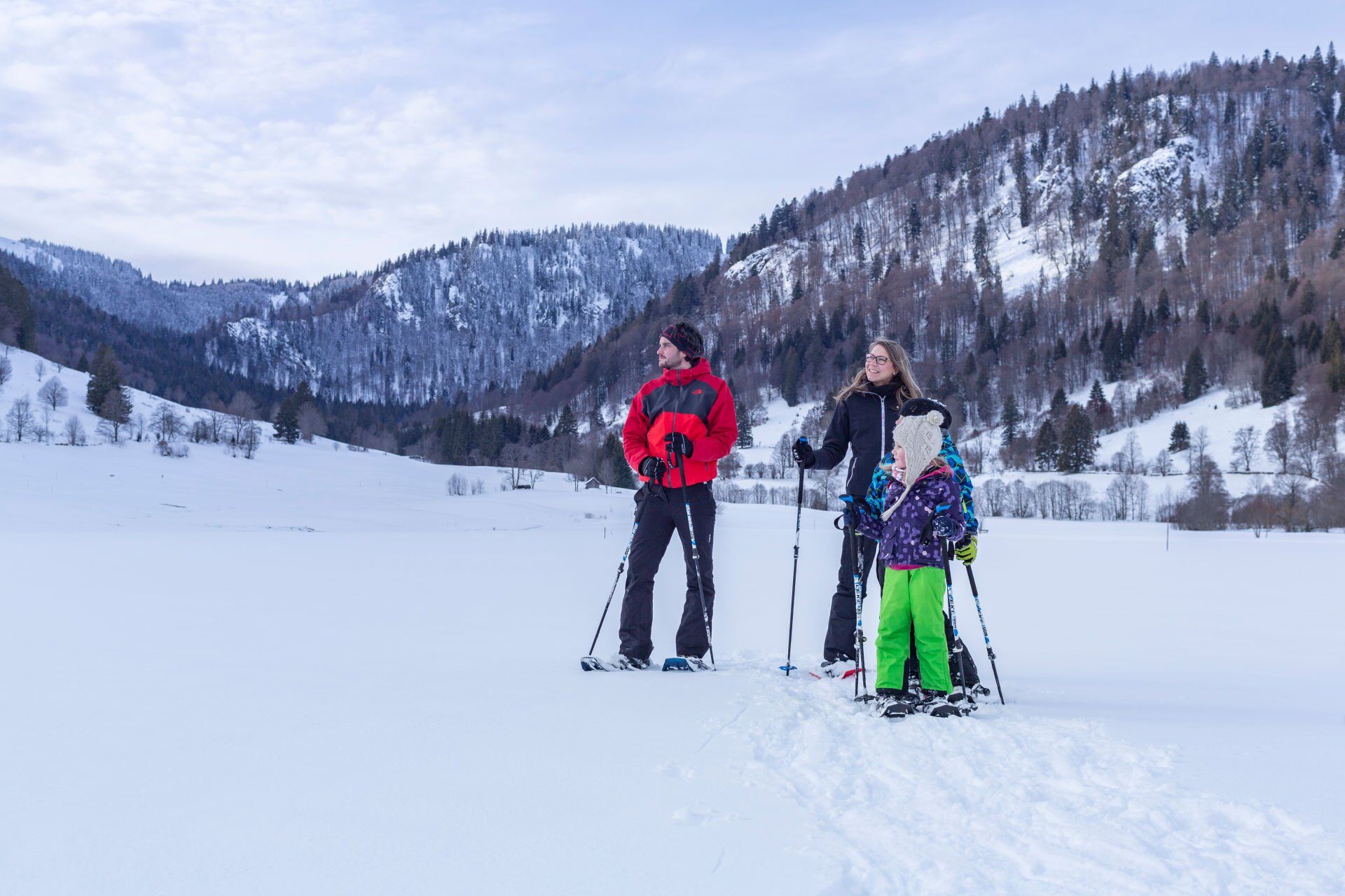
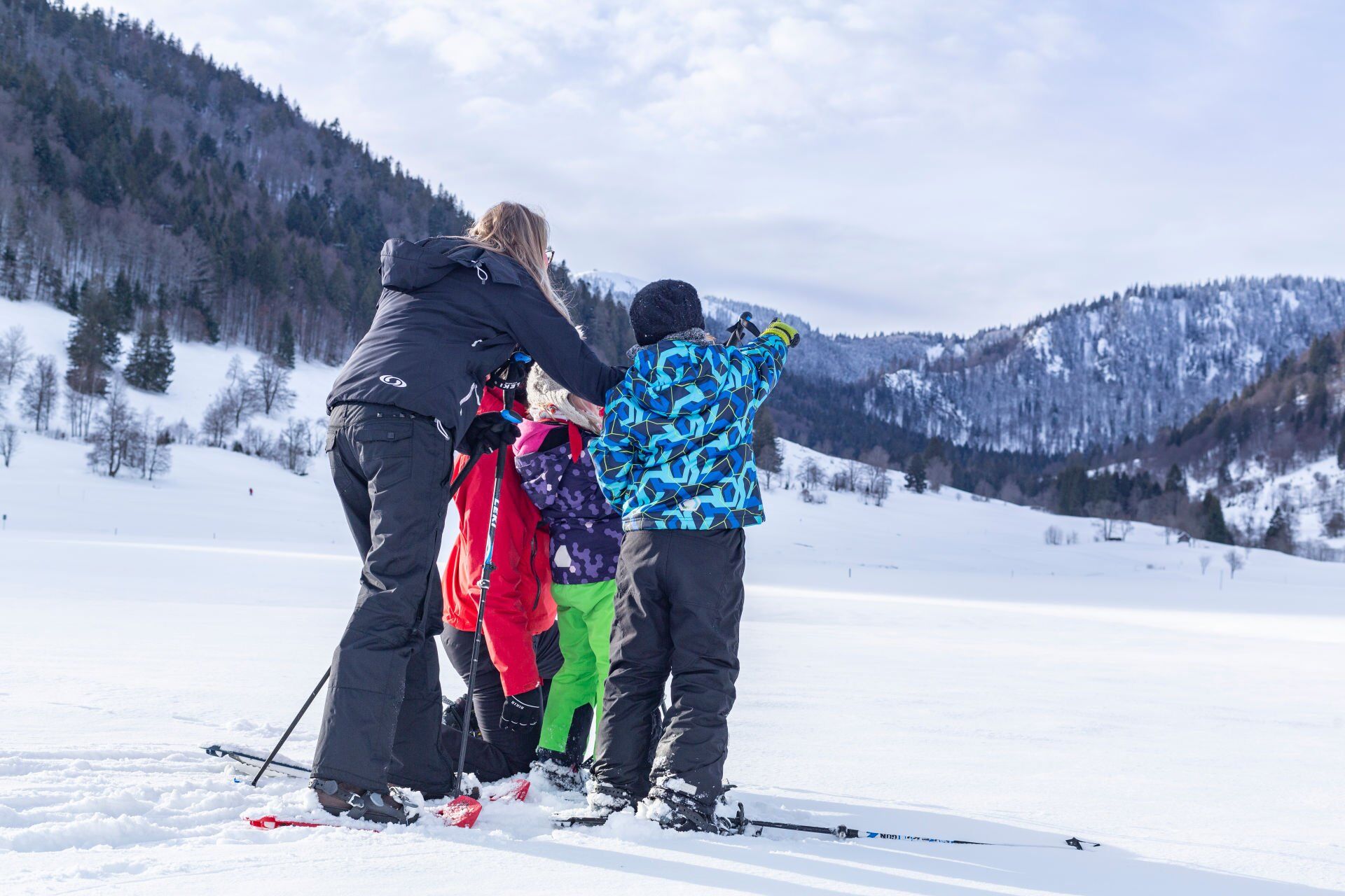
"Schwarzberg" trail "Menzenschwand" - snowshoe trail

The tour starts at the Menzenschwand Tourist Information Centre. Turn right onto the tarmac road and follow it to the old Catholic church. Turn left here and follow the Hinterdorfstrasse to the next crossroads, where you turn right uphill. At the end of the road you can put on your snowshoes and follow the path straight ahead. After about 100 metres turn left and you will see the Herzogenhorn. At 1415 metres, the Herzogenhorn is the second highest mountain in the Black Forest. At the next fork in the path, turn left slightly uphill and follow the red wooden posts to the next crossroads. Cross the bridge over the Alb and at the next junction turn left downhill to the Café & Berg-Beizle (closed on Mondays and Tuesdays). Above the inn, take the level path back into the village. Turn left at the crossroads and follow Hinterdorfstraße back to the starting point.
Tak
Dress for the weather and good snowshoes are essential for walking.
How to get to the start
Public transport
Parking at the start
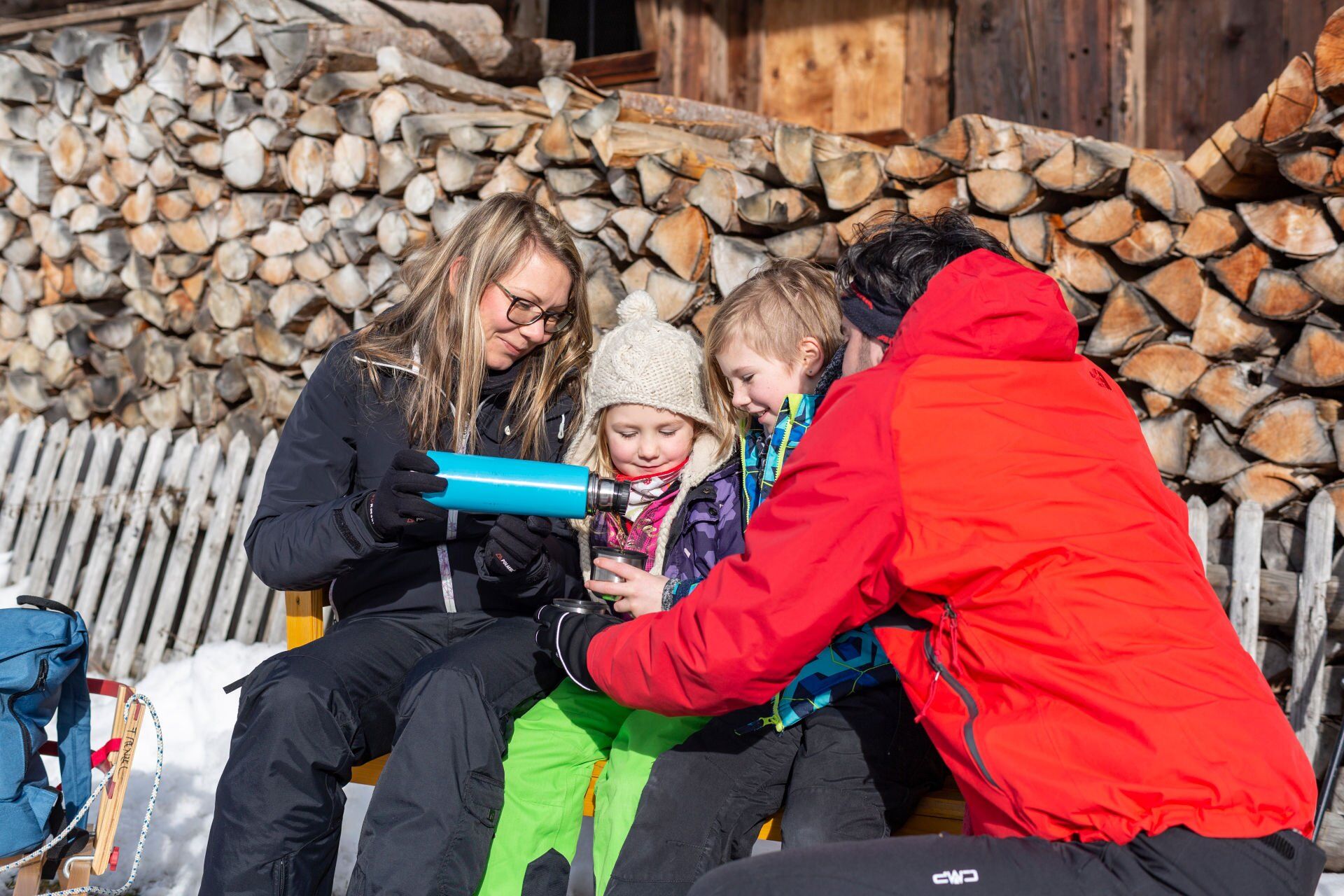
Snowshoe trails are specially signposted walking routes that take you away from cleared footpaths and cross-country ski trails through unspoilt winter landscapes. These trails are only accessible with snowshoes. You must be able to walk safely on uneven terrain!
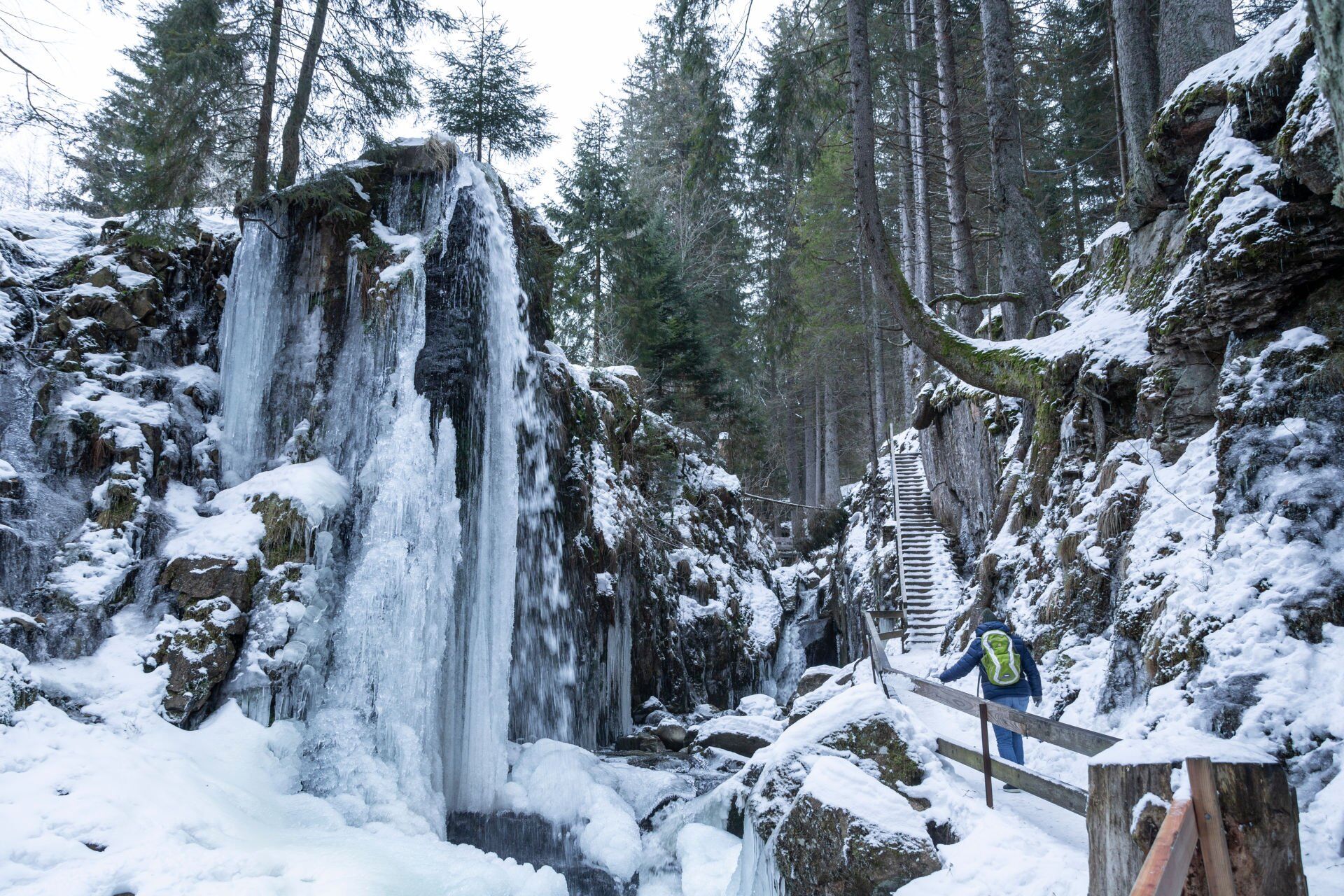
The Café & Berg-Beizle 'Zum Kuckuck' at the waterfalls of Menzenschwand invites you to stay and relax in a cosy atmosphere.
Kamery internetowe z trasy
-
Feldbergturm Seebuck Gipfel
-
Feldberg - Falkau
-
Feldberg - Grafenmatt I
-
Altglashütten - Schwarzenbachlift
-
Seebuck Bergstation
-
Seebuck Talstation
-
Hofeck Talstation
-
Feldberg - Opelhaus
-
Menzenschwander Hütte - Feldberg
-
Menzenschwand Hinterdorf
-
Bergstation Mösle - Menzenschwand
-
Skilift Schwinbach - Menzenschwand
-
Radon Revital Bad - Menzenschwand
-
Skilift Rehbach - Menzenschwand
-
Menzenschwander Hütte - Feldberg
-
Todtnauer Hütte
-
Feldberg - Altglashütten
-
Feldberg - Fahl
Popularne wycieczki w okolicy
-
4,7
Black Forest Highlands heritage trail - mills and saws in the gorge
średniWędrówka 7,42 km -
3,7
Seerundweg Titisee
światłoWędrówka 5,84 km -
3,9
From Titisee to the Hochfirst with its stunning views
średniWędrówka 10,6 km -
4,1
Höhenklimaweg Titisee-Rundweg
średniWędrówka 7,44 km -
3,8
Premium Hiking Trail- Säbelthomaweg
średniTrasa tematyczna 10,9 km -
4,0
Altitude on the Herzogenhorn
średniWędrówka 11,1 km -
5,0
Premium Hiking Trail - Menzenschwander Geißenpfad
średniTrasa tematyczna 10,3 km -
3,7
Rundweg zum Todtnauer Wasserfall
światłoWędrówka 6,06 km -
4,3
Mystical path to the Mathisleweiher pond
średniWędrówka 8,94 km -
4,8
Sonnenaufgang und Feldbergsteig
średniWędrówka 11,6 km

Wędrówki i tropienie


Nie przegap ofert i inspiracji na następne wakacje
Twój adres e-mail została dodana do listy mailingowej.