


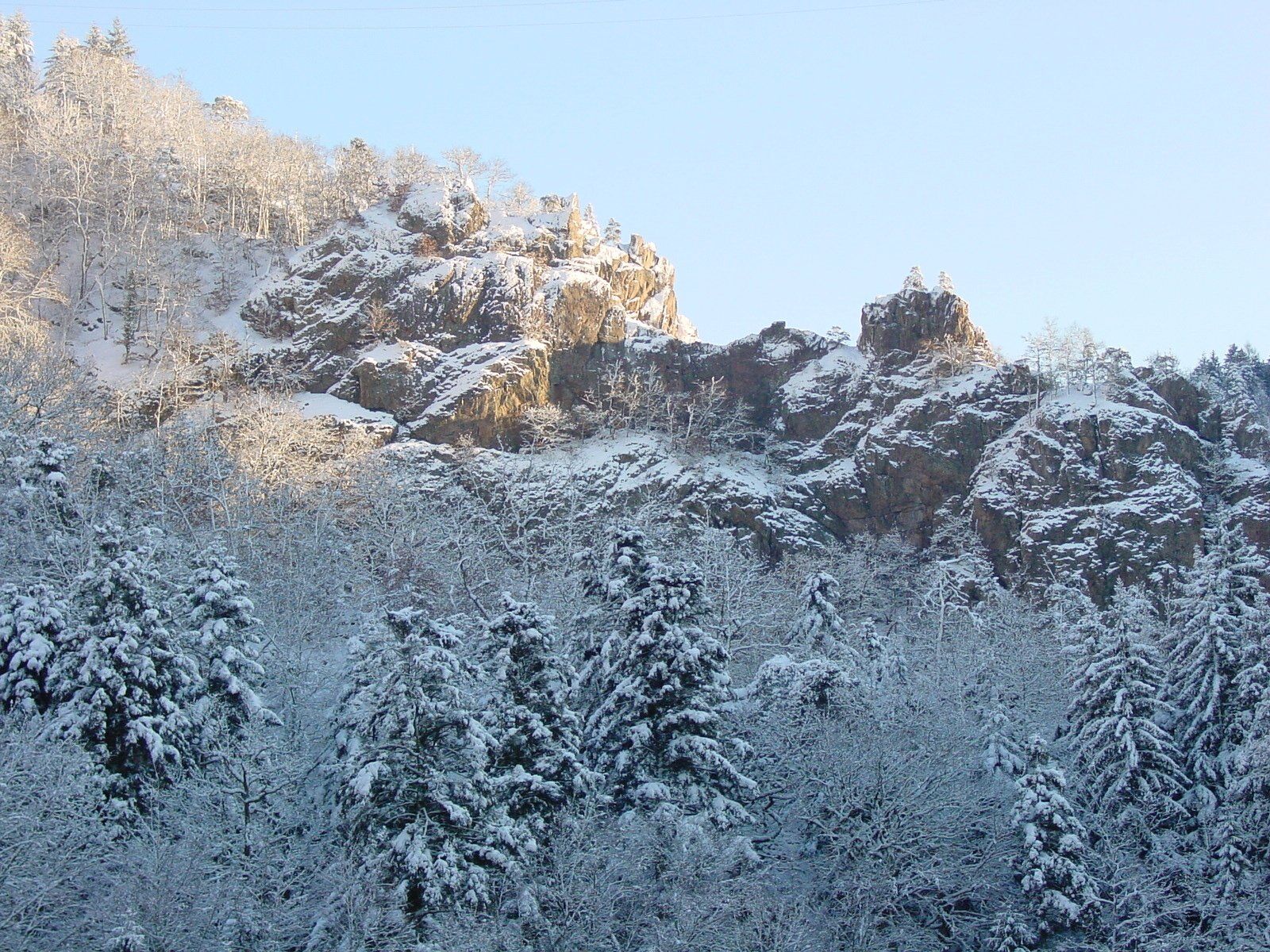
"Schlüchttal" Trail - snowshoe trail through the romantic, snow-covered "Schlüchttal" valley
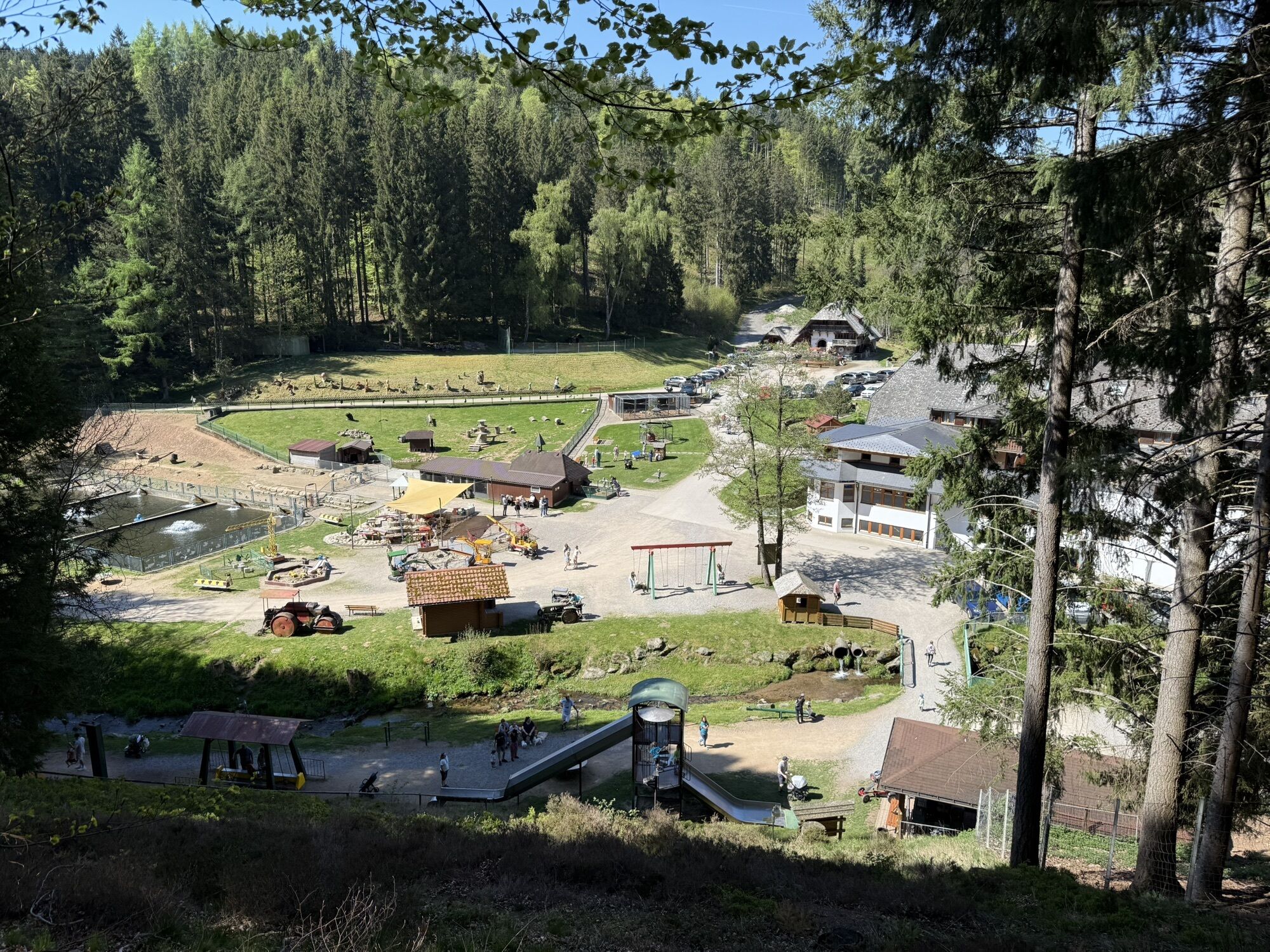

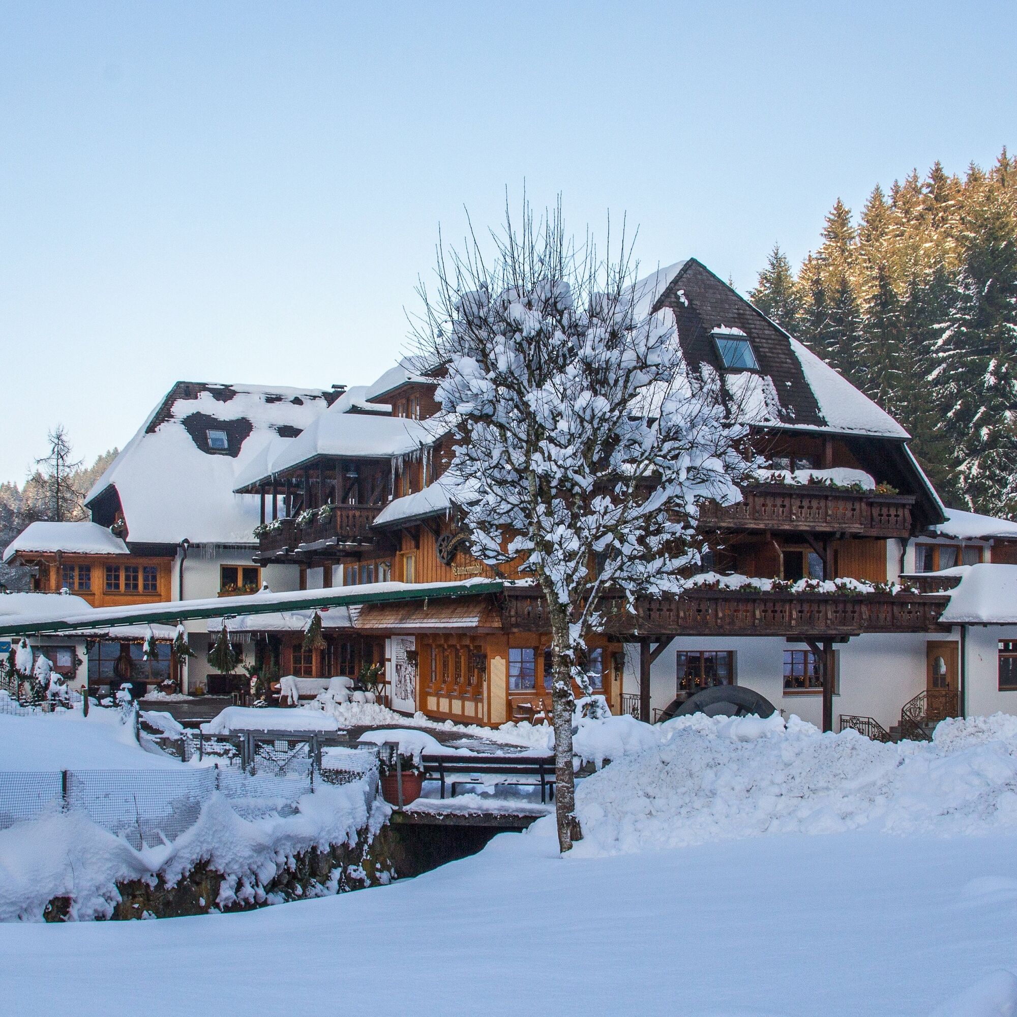
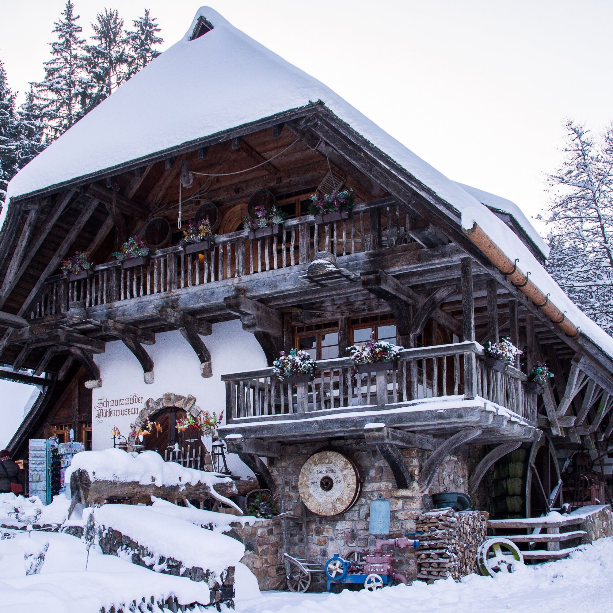
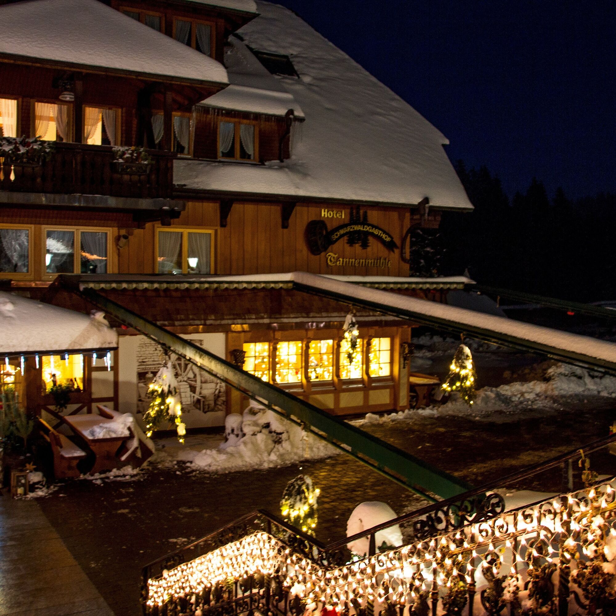
Start from the Waldschenke restaurant car park (closed on Wednesday and Thursdays), first walk 50 m down the valley to the start sign. Now turn left onto the narrow path and follow it up the valley. The path meanders along the romantic course of the young Schlücht river, 1.7 km up to the Tannenmühle (closed on Mon. + Tues.) - the Black Forest restaurant is known for its trout dishes and the lovely museum mill. The rustic path now leads you steeply upwards via two serpentines. Alternatively, you can extend the tour by following the Müllersbergweg to the right. However, to stay on the original route, keep to the previous route until you reach the crossroads. Here, turn right off the Müllersbergweg to return to the start board, walking steadily downhill.
Alternatively, the tour can also be started from the Tannenmühle.
Tak
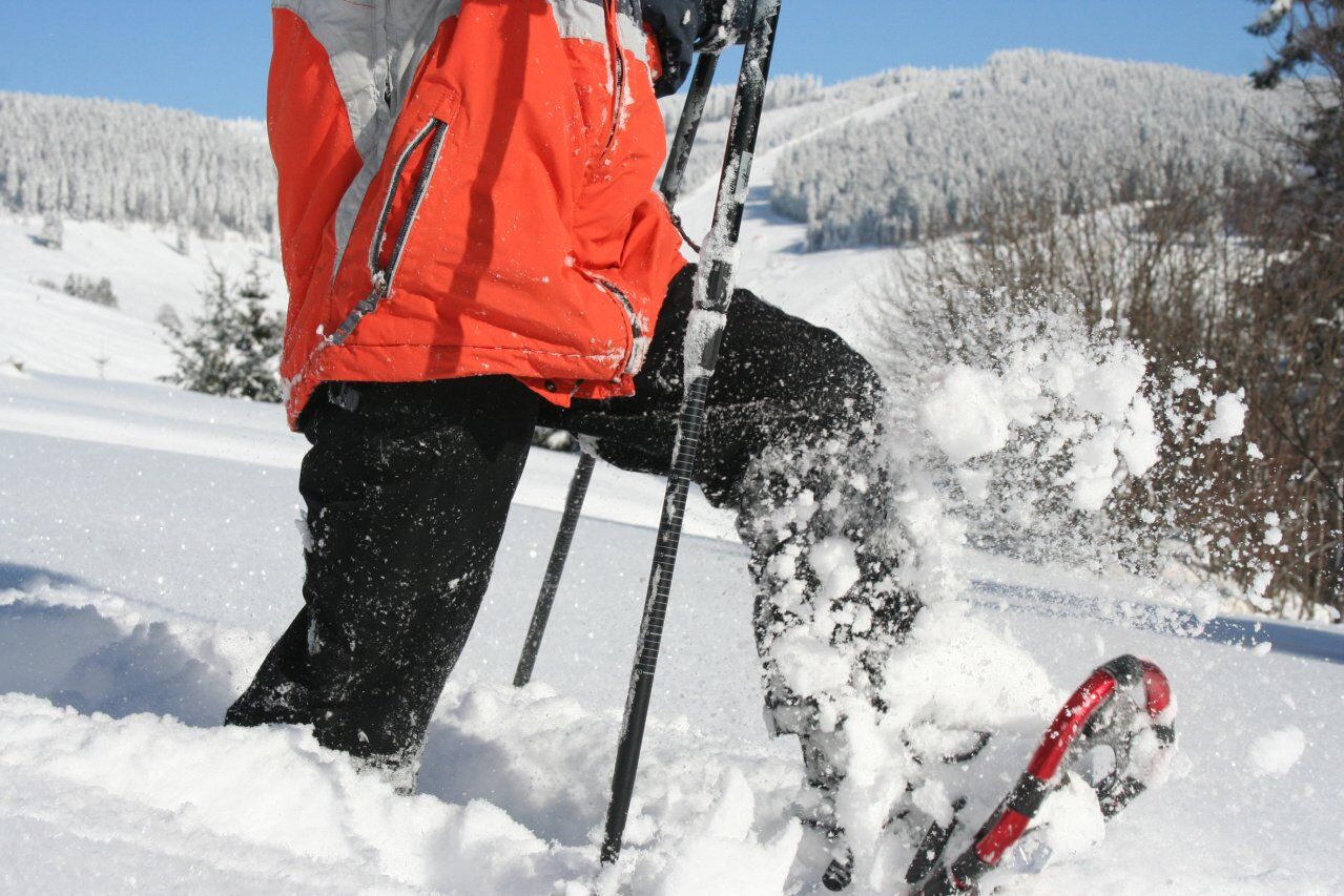
Clothing adapted to the weather and good snowshoes are essential.
Snowshoe trails are specially signposted hiking trails, away from cleared hiking paths and cross-country ski trails, through unspoilt winter landscapes. These routes can only be travelled with snowshoes. Safe walking on uneven terrain is a prerequisite!
A warming break or finish in one of the two rustic restaurants make the tour to a pleasure.
Popularne wycieczki w okolicy
-
4,7
Wutachschlucht Rundwanderung im Süd Schwarzwald
średniWędrówka 9,76 km -
4,7
Seerundweg Schluchsee
średniWędrówka 17,7 km -
5,0
Wutachschlucht+Lotenbachklamm
światłoWędrówka 10,0 km -
3,5
Premium Hiking Trail - Rappenfelsensteig
średniTrasa tematyczna 12,9 km -
4,0
Gorges, climbs and culture
średniWędrówka 12,1 km -
4,5
Premium Hiking Trail - Rötenbach Gorge
średniTrasa tematyczna 10,1 km -
5,0
Premium Hiking Trail - Schluchseer Jägersteig
średniTrasa tematyczna 11,5 km -
4,4
Wutach, Deutschland
średniWędrówka 14,6 km -
5,0
Berau - ruins, rocks & gorges
średniWędrówka 9,71 km -
5,0
Schluchsee tour for families
światłoJazda na rowerze 17,8 km
Wędrówki i tropienie


Nie przegap ofert i inspiracji na następne wakacje
Twój adres e-mail została dodana do listy mailingowej.