







Schluchsee tour for families
Poziom trudności: 2
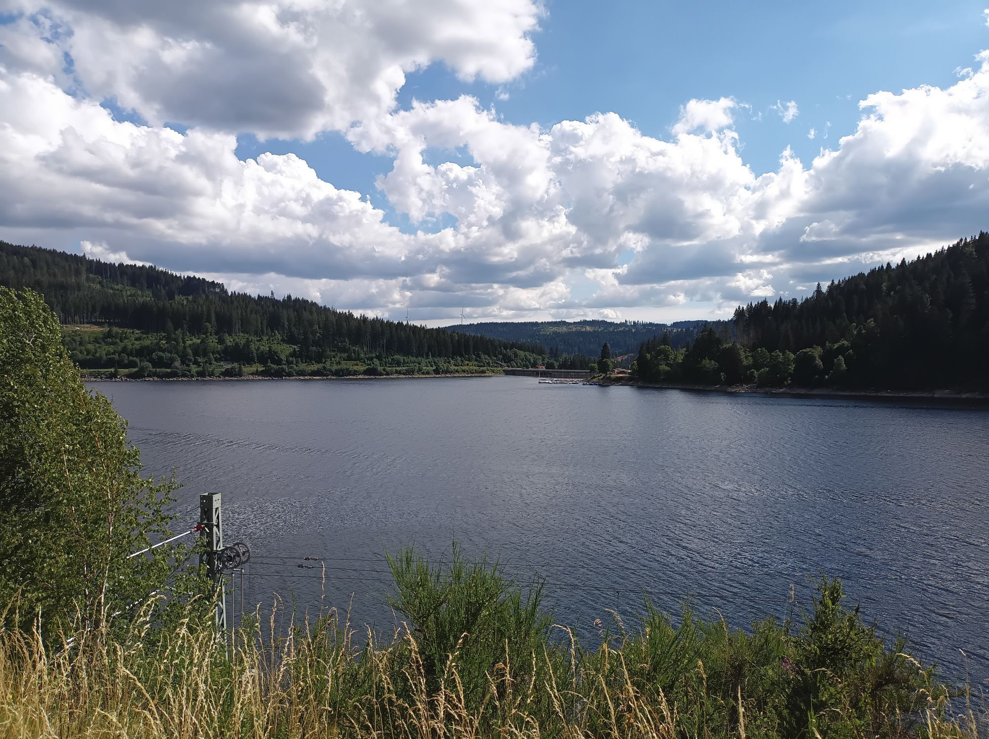
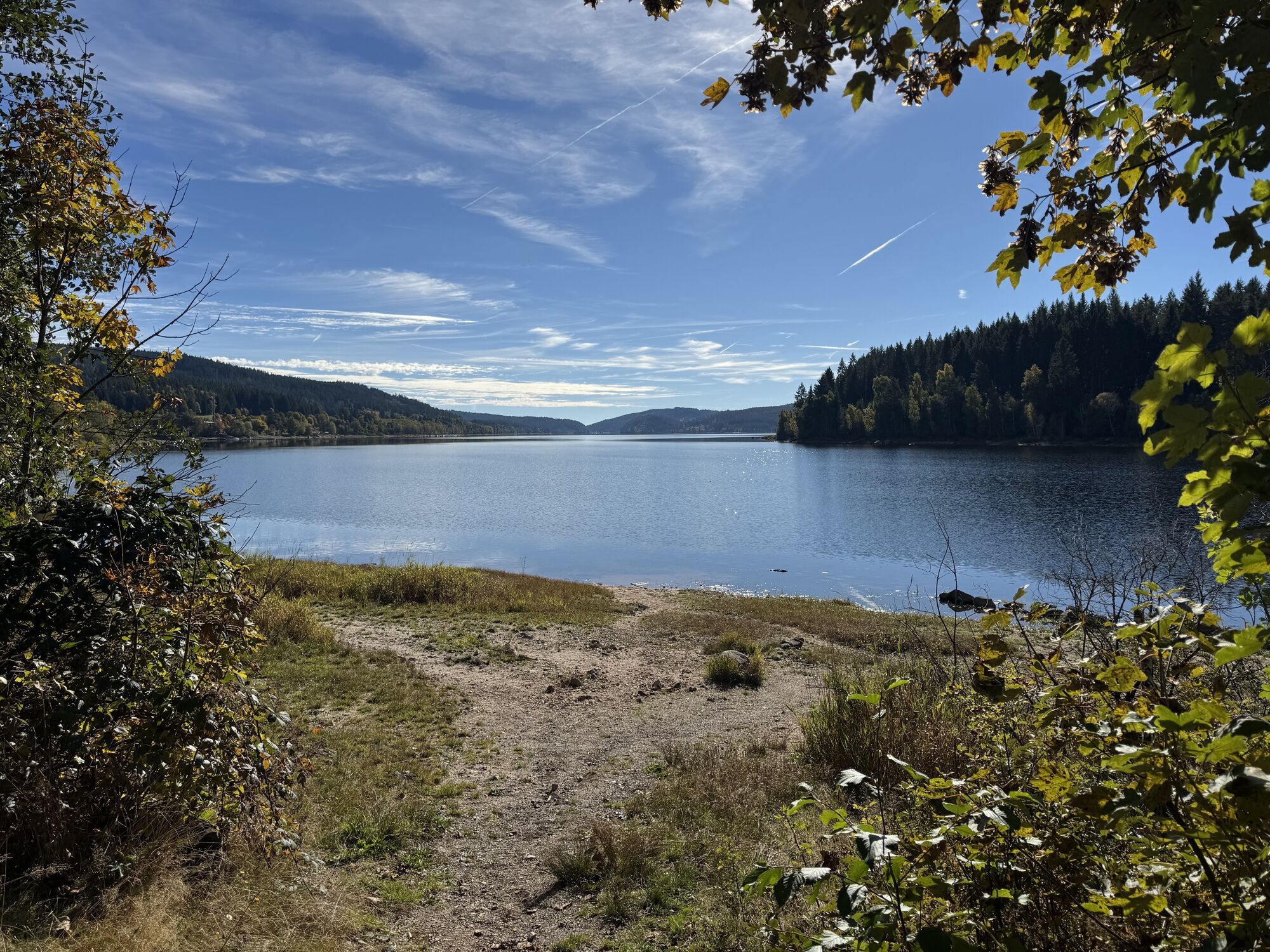
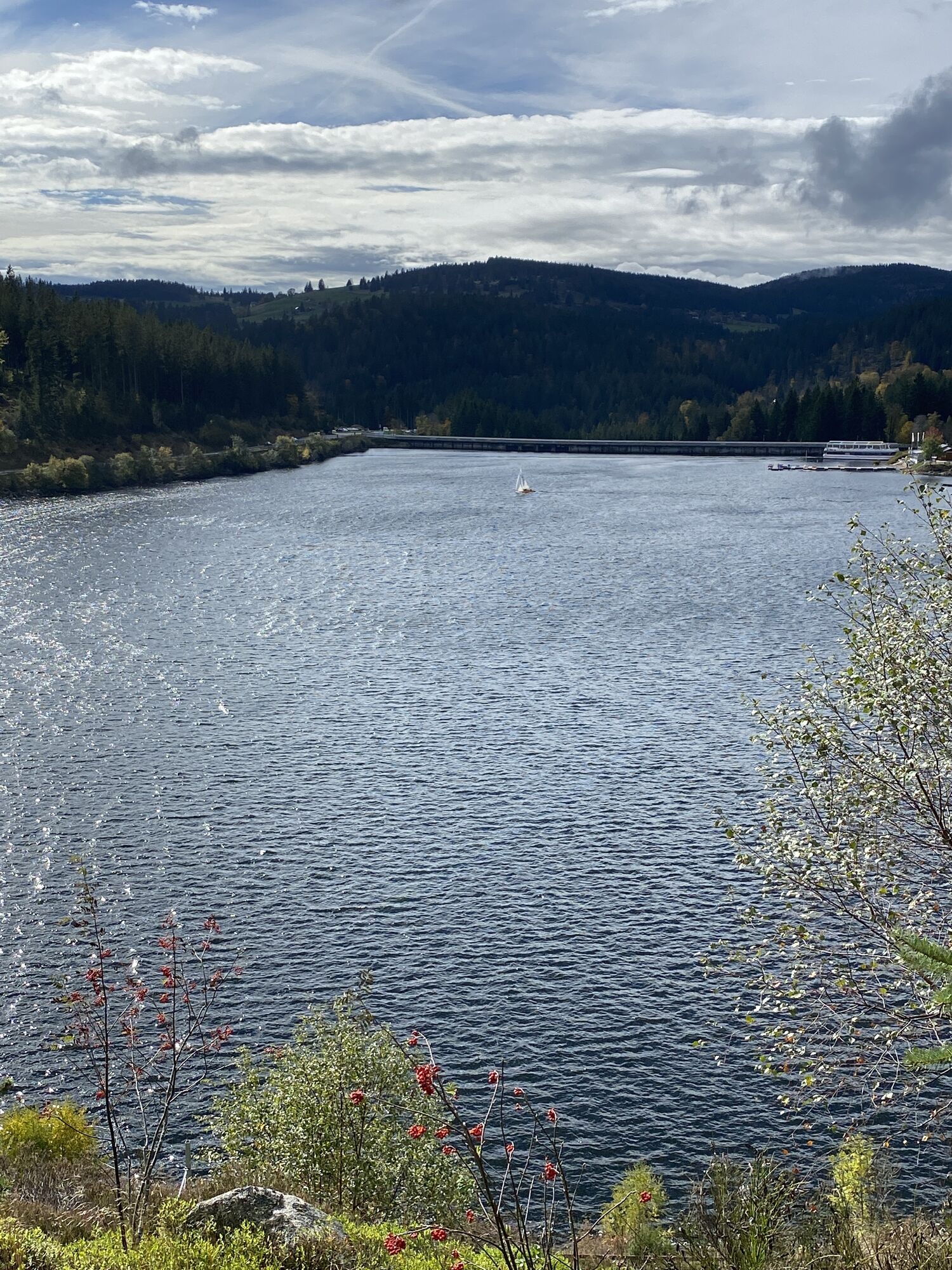
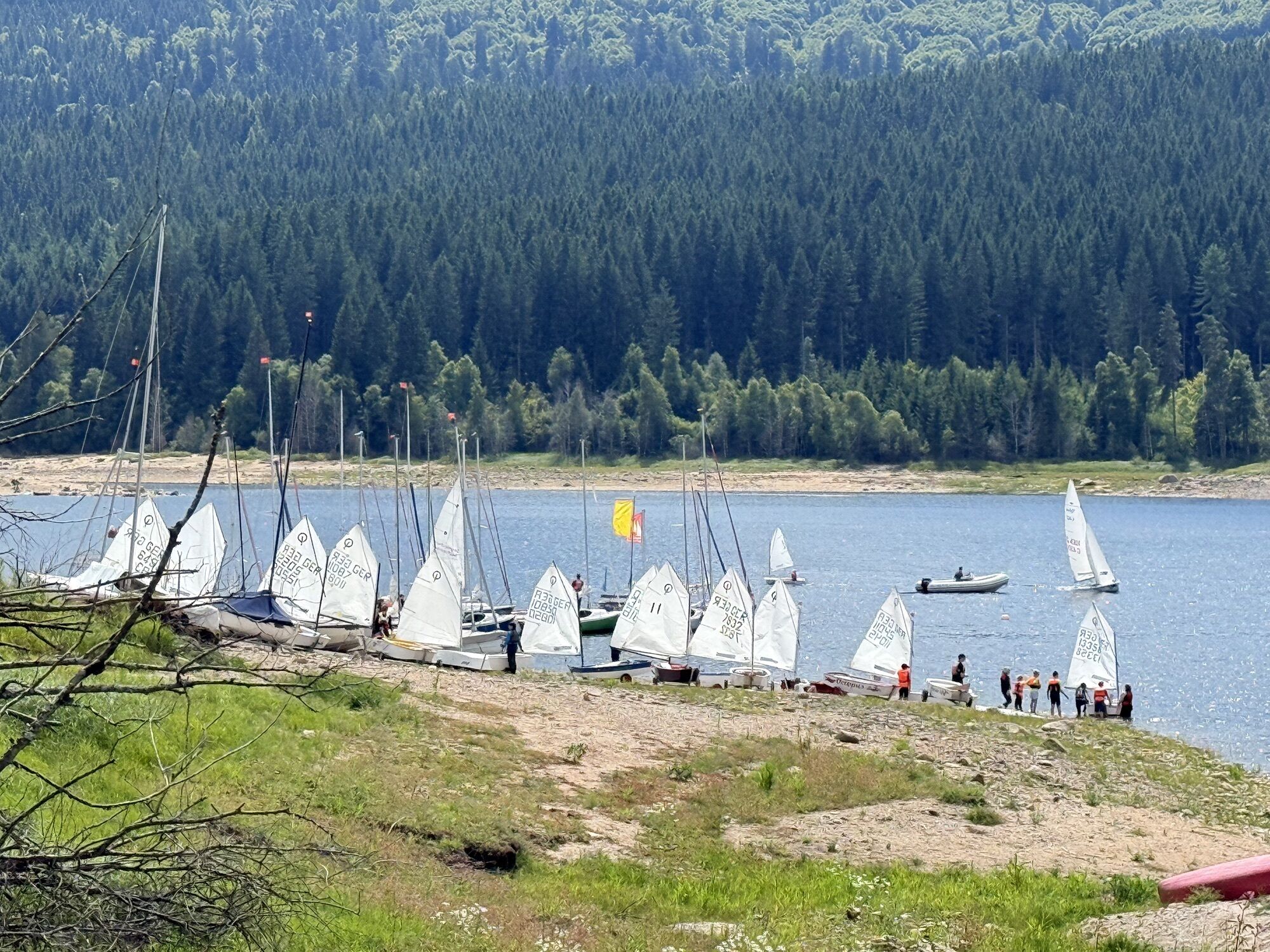
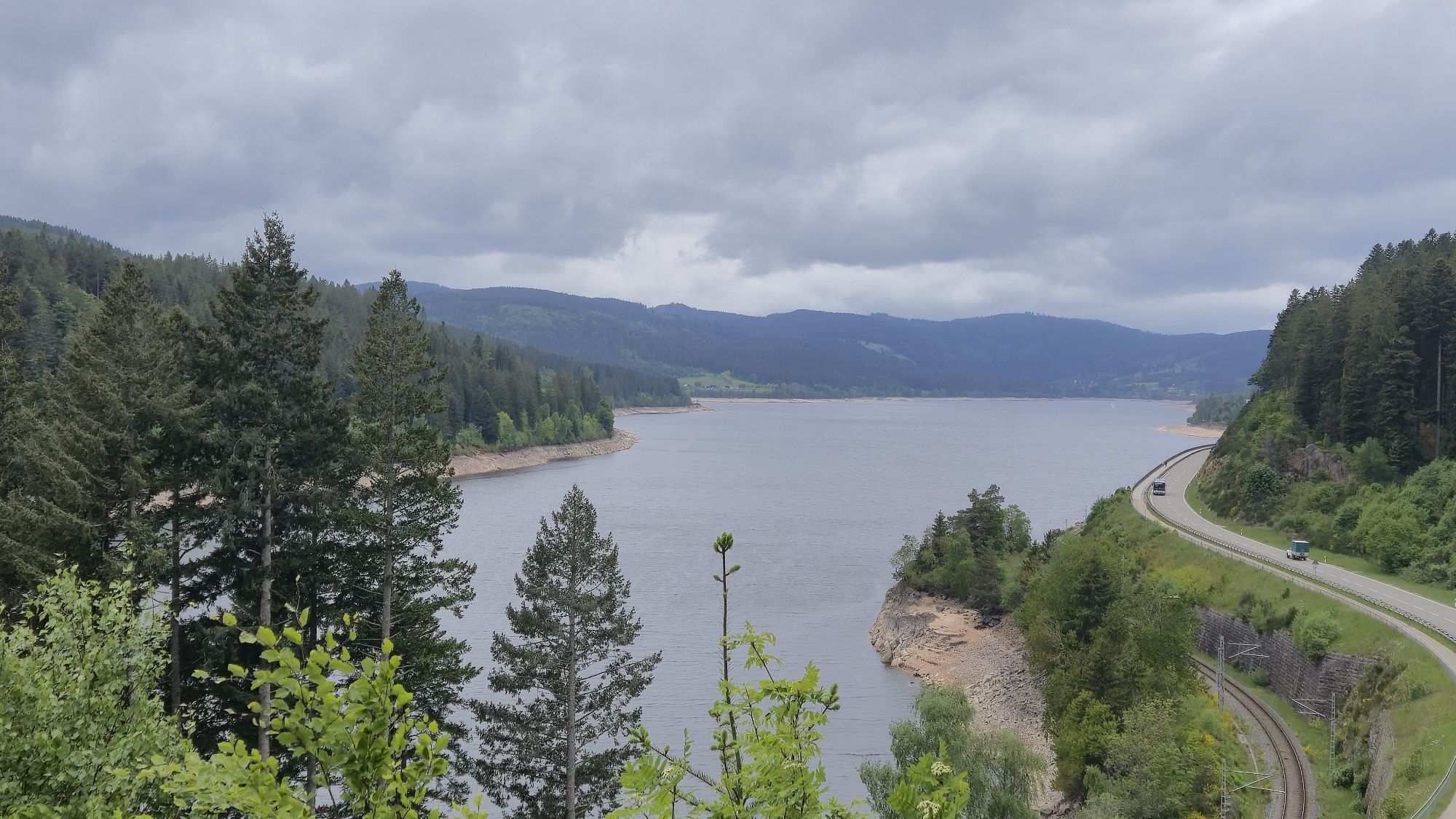
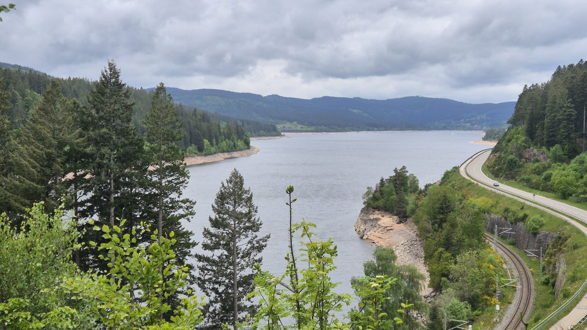
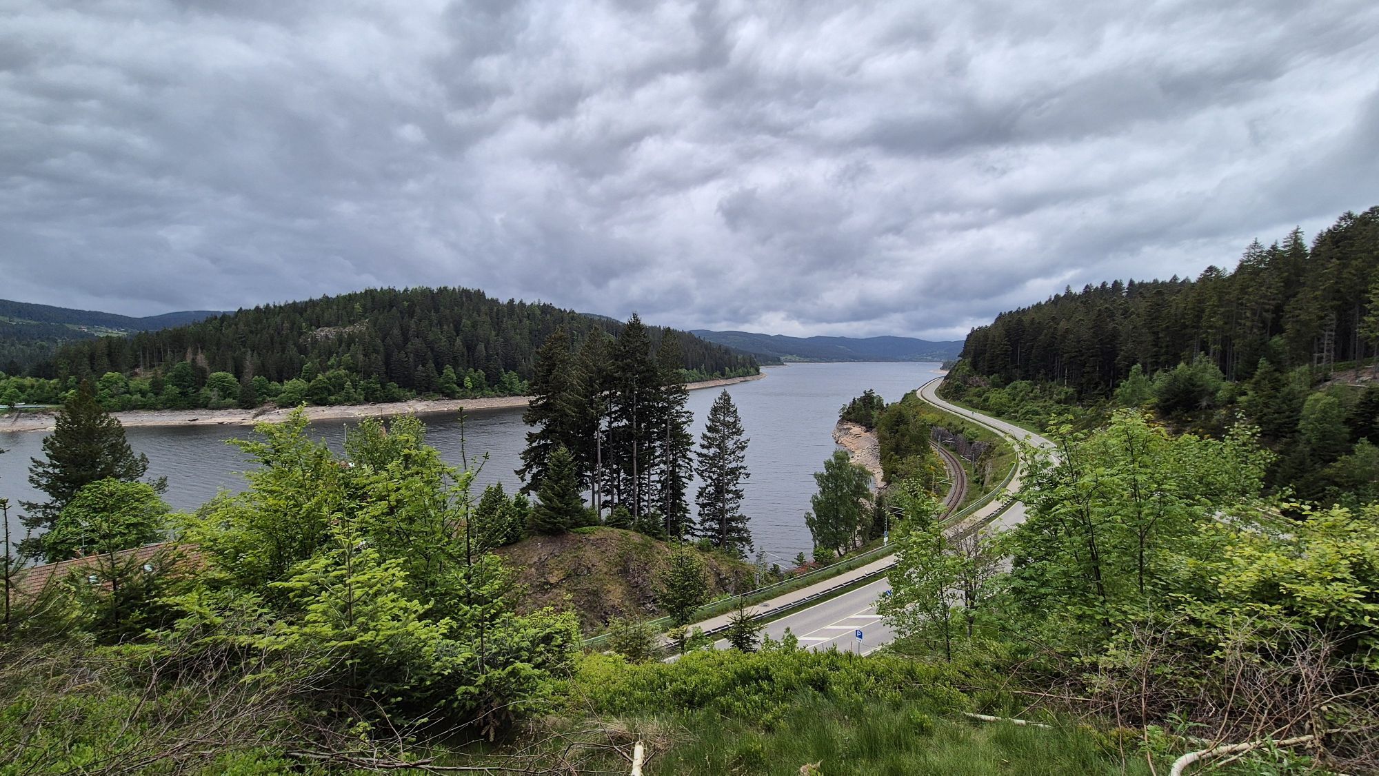
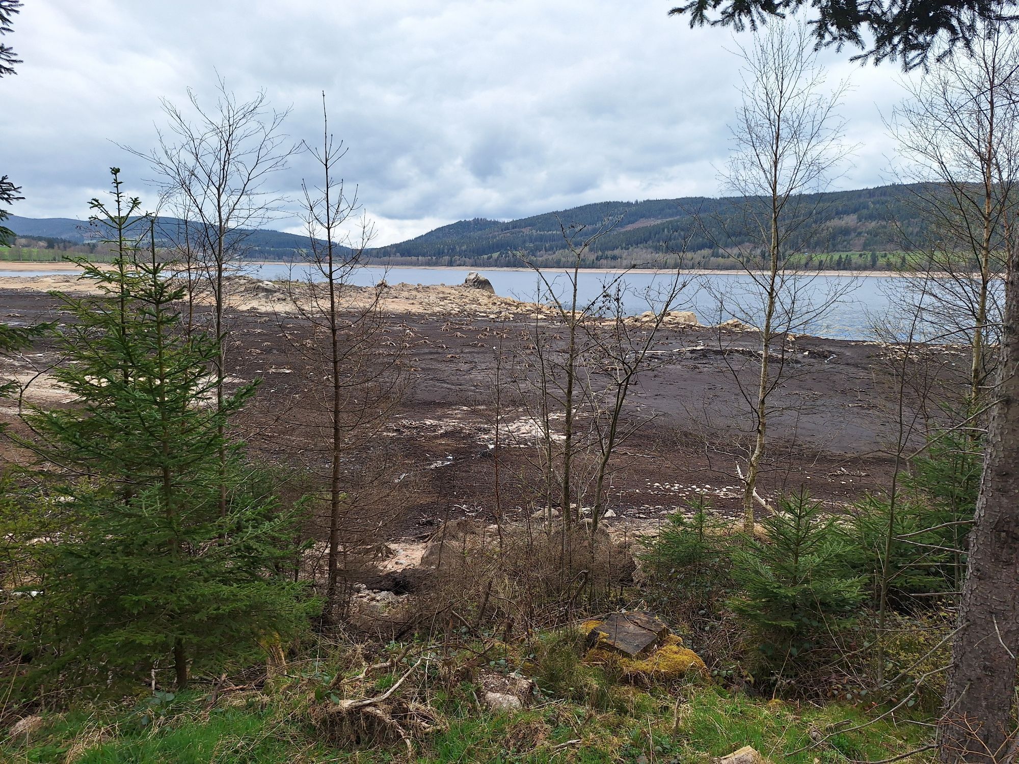
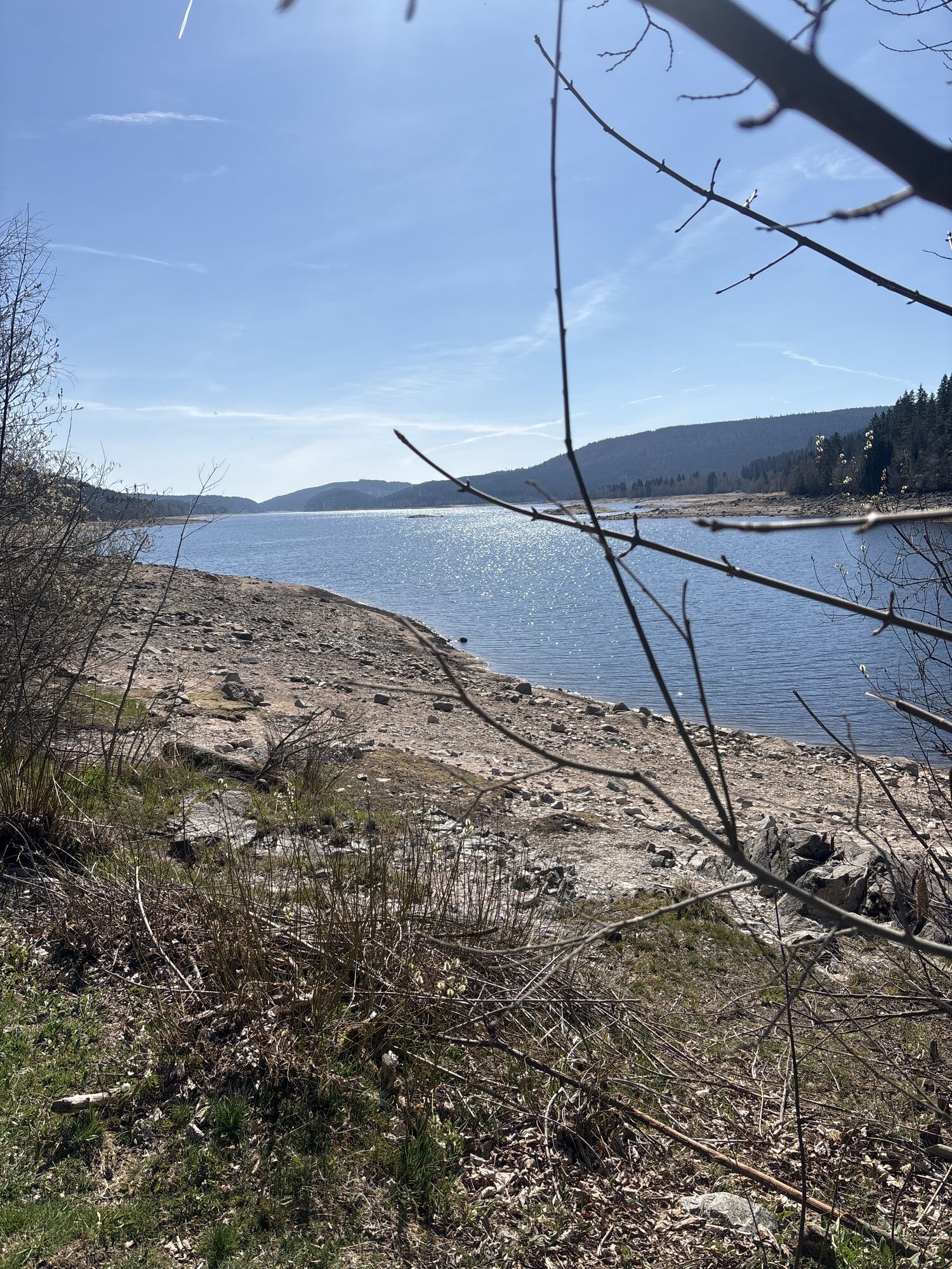
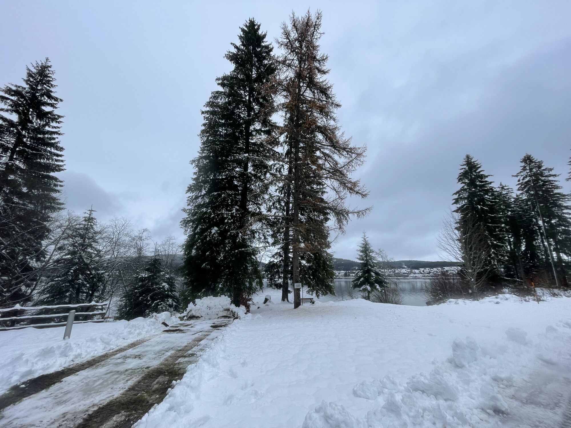
This family-friendly tour runs along the Schluchsee lake. The Schluchsee, the largest lake in the Black Forest, is also the water sports centre in the Black Forest and has been one of the cleanest bathing...
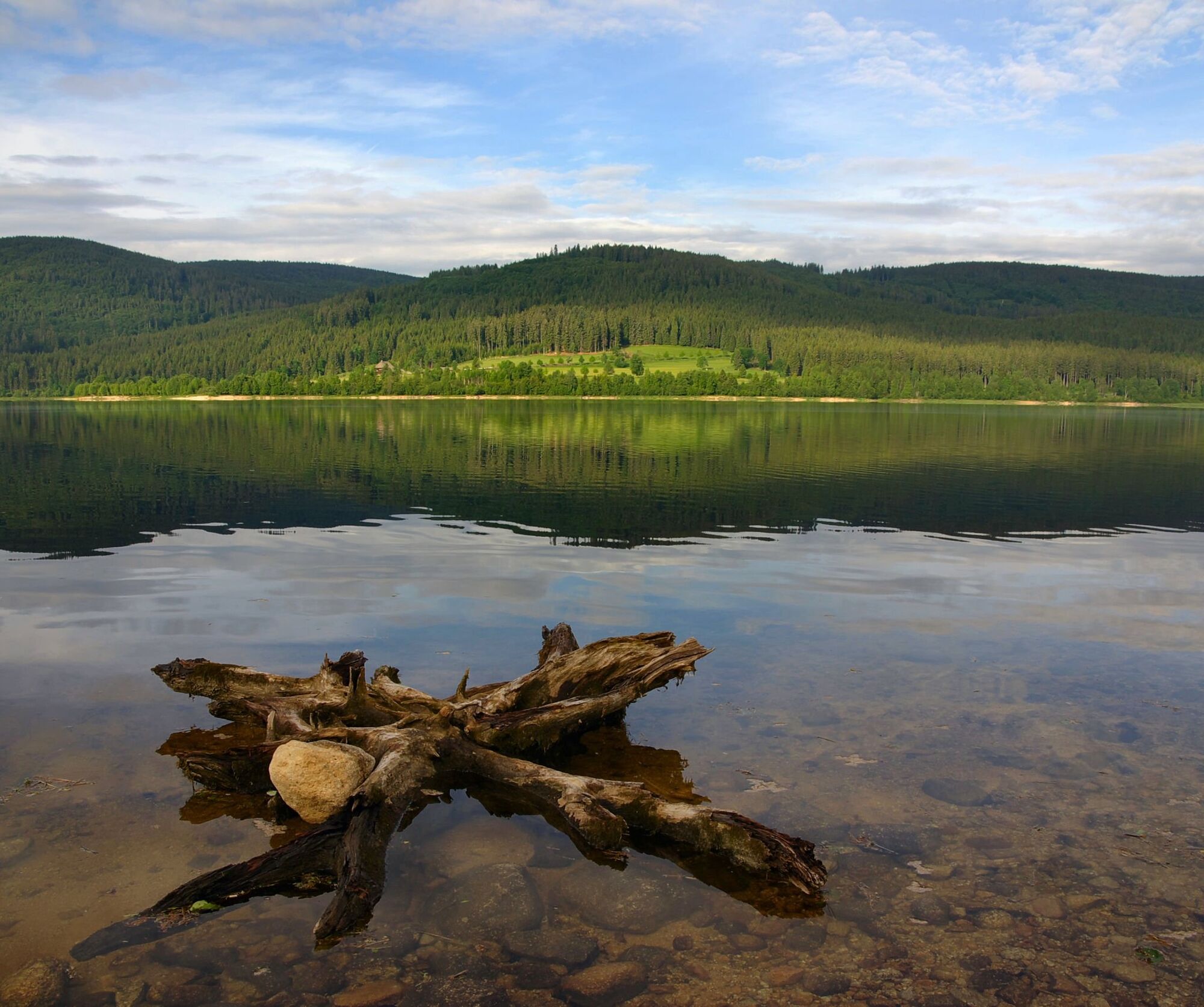
This family-friendly tour runs along the Schluchsee lake. The Schluchsee, the largest lake in the Black Forest, is also the water sports centre in the Black Forest and has been one of the cleanest bathing lakes in Germany for years. This beautiful tour allows both relaxed and sporty cycling and is particularly suitable for families and senior citizens.


Die Tour beginnt am Bahnhof Schluchsee, hier fährst du zunächst parallel der Schienen in Richtung Aqua Fun.
Auf dem richtigen Fahrradweg angekommen fährst du zunächst weiter bis zum Seehotel Hubertus. Hier folgst du ein kurzes Stück dem Rad- und Gehweg bis zur Staumauer. Immer am Seeufer entlang fährst du vorbei am Gasthaus Unterkrummenhof bis nach Aha. Die Tour führt dich auf einem Weg von Aha über den Bildstein- und Stutzweg zurück nach Schluchsee.
Tak
Wir empfehlen das Tragen eines Helmes.
Von Freiburg:
B31 Richtung Neustadt, Ausfahrt B317/B500 Richtung Basel/Feldberg/Waldshut-Tiengen/Schluchsee/Lenzkirch, Ausfahrt B500 Richtung Schluchsee/Altglashütten
Von Donaueschingen:
B31 Richtung Neustadt, Ausfahrt B317/B500 Richtung Basel/Feldberg/Waldshut-Tiengen/Schluchsee/Lenzkirch, Ausfahrt B500 Richtung Schluchsee/Altglashütten
Von Lörrach:
B317 in Richtung Donaueschingen über Zell i.W. /Todtnau/Feldberg, Ausfahrt B500 Richtung Schluchsee/Altglashütten
Von Freiburg:
Mit der S-Bahn (S1) Richtung Seebrugg, Ausstieg Schluchsee
Von Donaueschingen:
Mit der S-Bahn (S10) Richtung Freiburg(Breisgau) Hbf, Ausstieg in Titisee. Weiter mit der S-Bahn (S1) Richtung Seebrugg, Ausstieg Schluchsee
Von Lörrach:
Mit der Bahn von Lörrach nach Basel Bad BF, umsteigen in den ICE nach Freiburg. Mit der S-Bahn (S1) Richtung Seebrugg, Ausstieg Schluchsee
Hinweis: Das Gleis am Bahnhof Schluchsee ist stufenlos erreichbar.
2
Ein Muss auf dieser Tour ist die Einkehr in den Unterkrummenhof.
Uzyskaj wgląd
Zawsze na żywo z ponad 9 500 kamer internetowych. bergfex Jako użytkownik Pro, możesz teraz zobaczyć odpowiednie kamery internetowe dla wielu wycieczek w aplikacji wycieczki od. Pozwala to na bezpośredni podgląd aktualnych warunków.

Popularne wycieczki w okolicy
-
4,7
Black Forest Highlands heritage trail - mills and saws in the gorge
średniWędrówka 7,42 km -
3,8
Seerundweg Titisee
światłoWędrówka 5,84 km -
4,1
Höhenklimaweg Titisee-Rundweg
średniWędrówka 7,44 km -
3,9
From Titisee to the Hochfirst with its stunning views
średniWędrówka 10,6 km -
3,8
Premium Hiking Trail- Säbelthomaweg
średniTrasa tematyczna 11,3 km -
4,2
Ravennaschlucht
Wędrówka 6,90 km -
4,8
Sonnenaufgang und Feldbergsteig
średniWędrówka 11,6 km -
4,7
Premium Hiking Trail - Rötenbach Gorge
średniTrasa tematyczna 10,1 km -
5,0
Premium Hiking Trail - Menzenschwander Geißenpfad
średniTrasa tematyczna 9,78 km -
4,8
Todtmoos – Wanderung: Genießerpfad Lebküchlerweg
średniWędrówka 12,8 km

Wędrówki i tropienie


Nie przegap ofert i inspiracji na następne wakacje
Twój adres e-mail została dodana do listy mailingowej.





