







Idyllic tour from Titisee via Bärental to Hinterzarten
Poziom trudności: 1
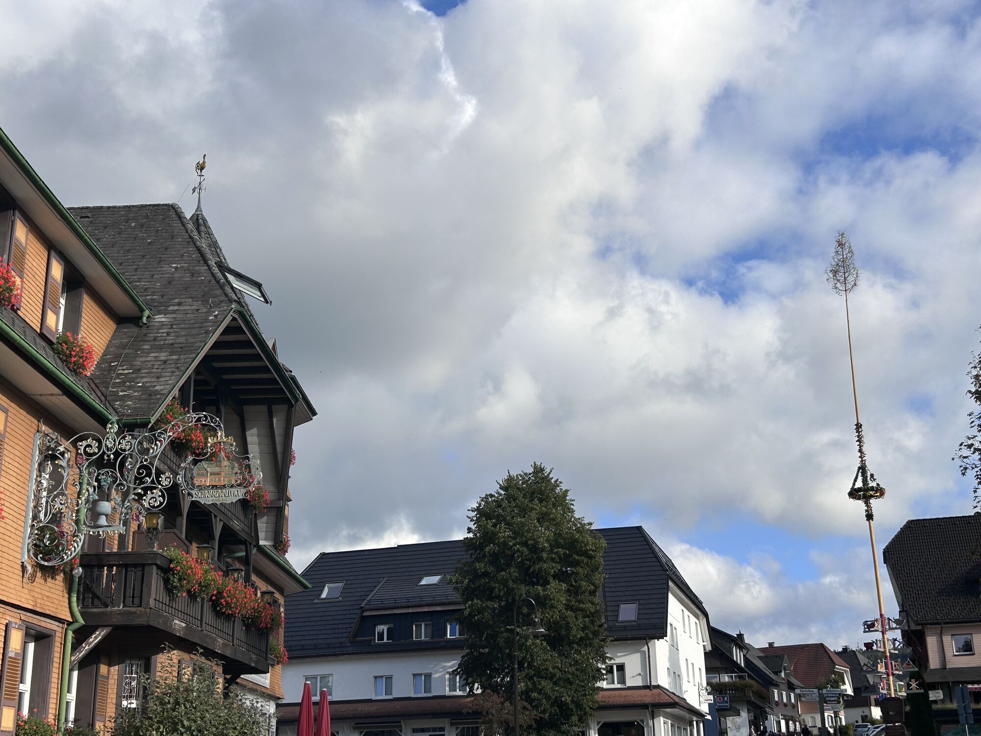
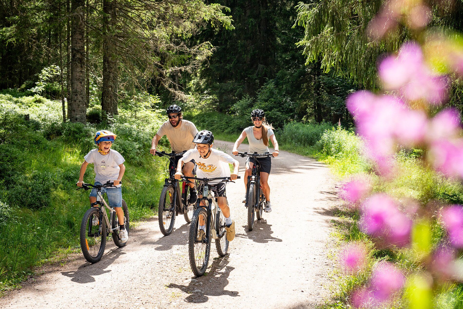
A sporty tour that starts comfortably and takes you through the Bruderhalde into the idyllic Seebachtal valley. On well-maintained paths, you cycle past beautiful viewpoints into picturesque Hinterzarten...
A sporty tour that starts comfortably and takes you through the Bruderhalde into the idyllic Seebachtal valley. On well-maintained paths, you cycle past beautiful viewpoints into picturesque Hinterzarten with numerous places to stop for refreshments.

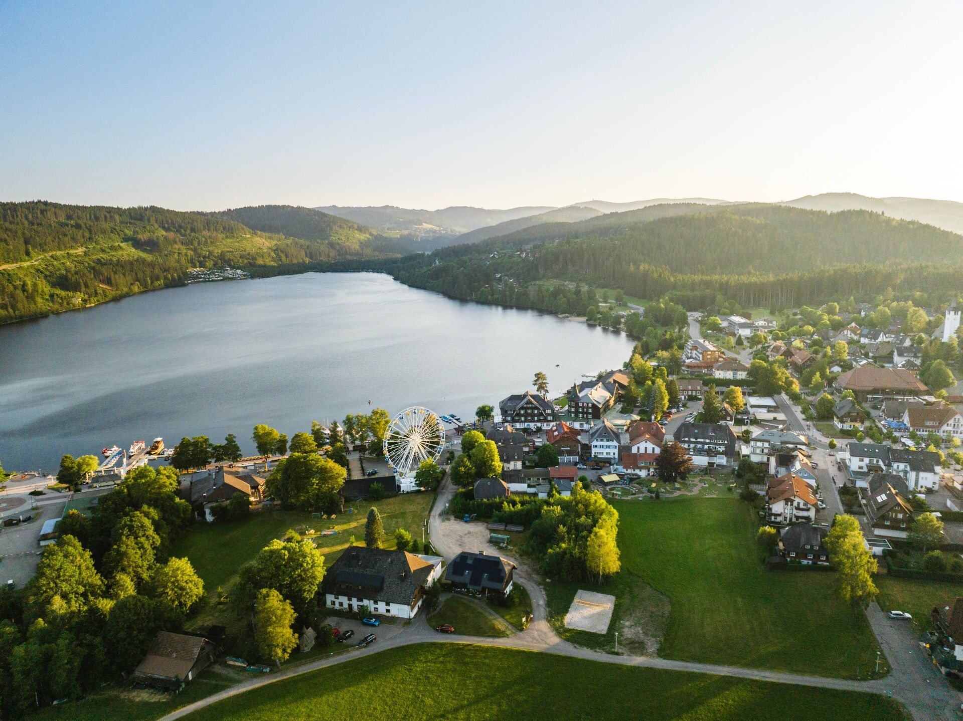
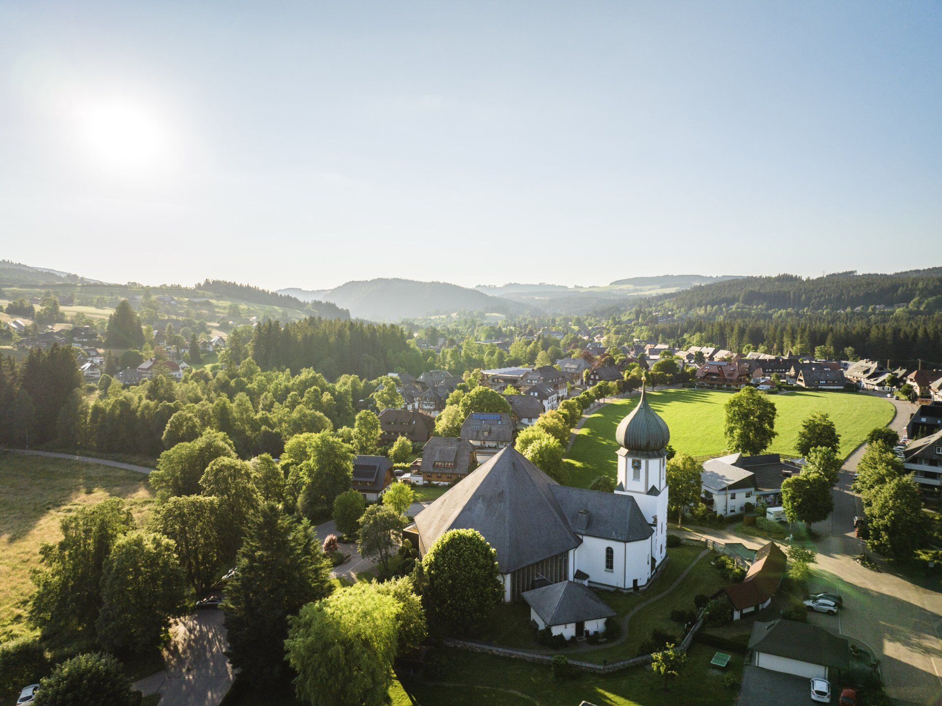

From the Titisee bathing area, take the Bruderhaldenstraße to the youth hostel. It is also possible to cycle from the Titisee lido along the popular Seestraße and along the largest natural lake in the Black Forest to the Bankenhof campsite.
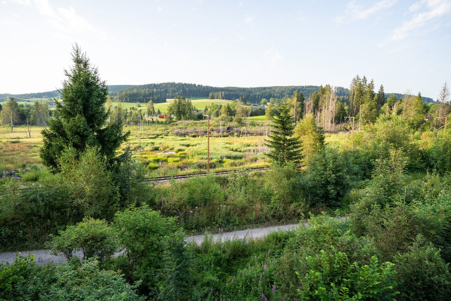
Follow the road past the Löffelschmiede inn to the turn-off that leads you to the Kunzenmoos hikers' car park. Your ride through the picturesque Seebachtal valley first takes you in the direction of Zipfelhof and then uphill via Hummelweiherstraße on the Emil Thoma trail to Oberzarten.
Follow the path to Hinterzarten. Here it is worth making a short detour to the world-famous Adler ski stadium. The route continues through idyllic Hinterzarten with numerous places to stop for refreshments.
Once you reach the railway station, follow the railway tracks through the forest, past the ice pond and back to our starting point in Titisee.
Tak
We recommend wearing a helmet.
1
For a refreshing end, a visit to the lakeside promenade is a must, whether in the form of a dip in the lake or a short detour to the ice cream parlour.
Kamery internetowe z trasy
-
Feldbergturm Seebuck Gipfel
-
Feldberg - Falkau
-
Feldberg - Grafenmatt I
-
Altglashütten - Schwarzenbachlift
-
Seebuck Bergstation
-
Seebuck Talstation
-
Titisee - Hotel Brugger
-
Hinterzarten - Ferienhaus Carola
-
Hinterzarten - Adlerschanze
-
Hinterzarten - Adler-Skistadion
-
Breitnau - Eckerhof
-
Feldberg - Opelhaus
-
Menzenschwander Hütte - Feldberg
-
Menzenschwand Hinterdorf
-
Bergstation Mösle - Menzenschwand
-
Skilift Schwinbach - Menzenschwand
-
Menzenschwander Hütte - Feldberg
-
Todtnauer Hütte
-
Titisee - Fewo Titiseeblick
-
Feldberg - Altglashütten
-
Dorf / Lenzkirch Saig Hochfirstweg
-
Alpen / Lenzkirch Saig Hochfirstweg
Uzyskaj wgląd
Zawsze na żywo z ponad 9 500 kamer internetowych. bergfex Jako użytkownik Pro, możesz teraz zobaczyć odpowiednie kamery internetowe dla wielu wycieczek w aplikacji wycieczki od. Pozwala to na bezpośredni podgląd aktualnych warunków.
Popularne wycieczki w okolicy
-
4,7
Black Forest Highlands heritage trail - mills and saws in the gorge
średniWędrówka 7,42 km -
3,9
Seerundweg Titisee
światłoWędrówka 5,84 km -
4,2
Höhenklimaweg Titisee-Rundweg
średniWędrówka 7,44 km -
3,9
From Titisee to the Hochfirst with its stunning views
średniWędrówka 10,6 km -
4,9
Sonnenaufgang und Feldbergsteig
średniWędrówka 11,6 km -
3,8
Premium Hiking Trail- Säbelthomaweg
średniTrasa tematyczna 11,3 km -
4,2
Ravennaschlucht
Wędrówka 6,90 km -
4,9
Todtmoos – Wanderung: Genießerpfad Lebküchlerweg
średniWędrówka 12,8 km -
5,0
Premium Hiking Trail - Menzenschwander Geißenpfad
średniTrasa tematyczna 9,78 km -
4,7
Seerundweg Schluchsee
średniWędrówka 17,7 km

Wędrówki i tropienie


Nie przegap ofert i inspiracji na następne wakacje
Twój adres e-mail została dodana do listy mailingowej.





