


German Half-Timbered Road: Trochtelfingen – Riedlingen
Poziom trudności: 2
This stage of the route begins on the Swabian Alb. Trochtelfingen is surrounded by mountains and hills, offering not only relaxation and beautiful nature but also the opportunity to admire the historic...
This stage of the route begins on the Swabian Alb. Trochtelfingen is surrounded by mountains and hills, offering not only relaxation and beautiful nature but also the opportunity to admire the historic old town with its half-timbered houses. From Trochtelfingen, we head towards Steinhilben. Here, the Augstberg Tower of the Swabian Alb Association is a must for anyone wanting to enjoy a beautiful view. Many small villages now adorn our further route in the Danube valley. In the village of Zwiefalten, Upper Swabian baroque can be admired. Those needing a refreshment should try the well-known and popular Zwiefalter Klosterbräu, brewed here since the 16th century. We continue cycling along the Zwiefalter Ach. At the river's mouth into the Danube lies Zwiefaltendorf with its charming castle in an idyllic location directly on the river. The path along the Danube leads us to the end of the route in Riedlingen. The old town with its fountains and the market square surrounded by half-timbered houses give the town its special flair.

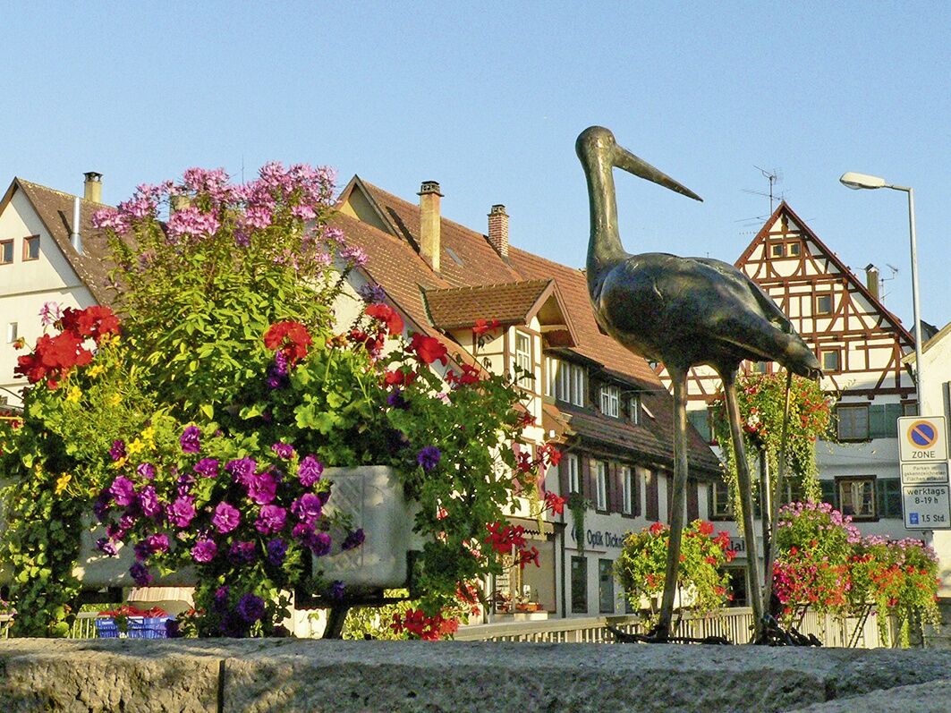
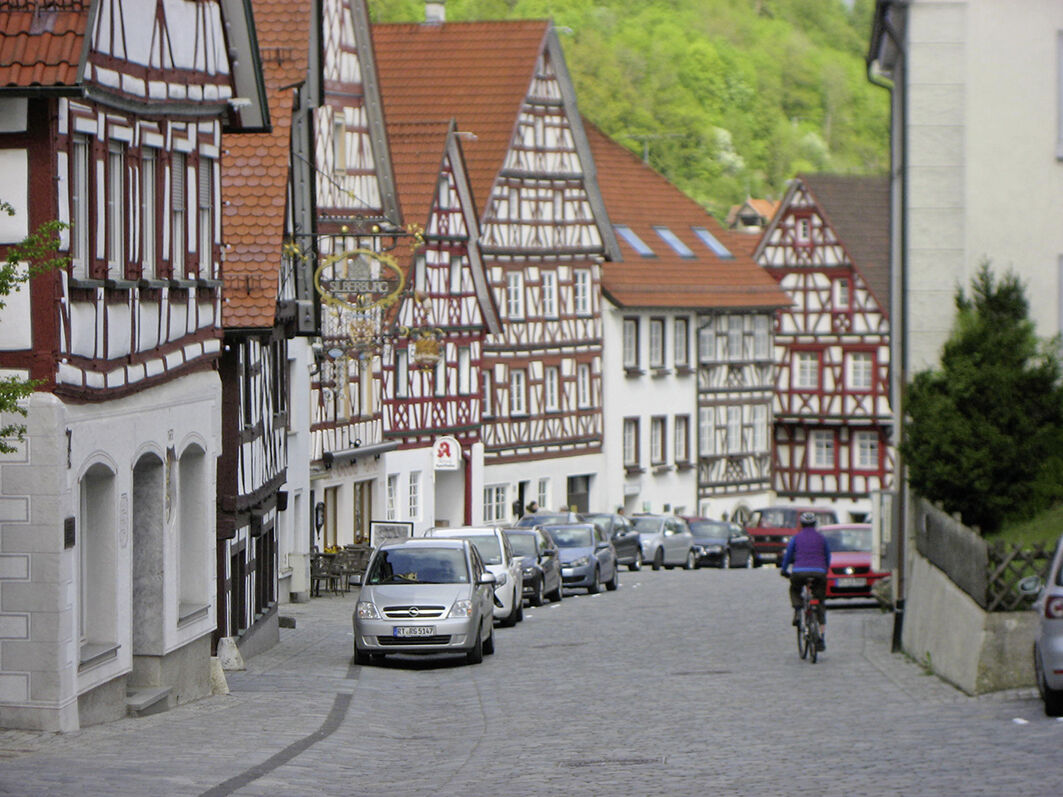
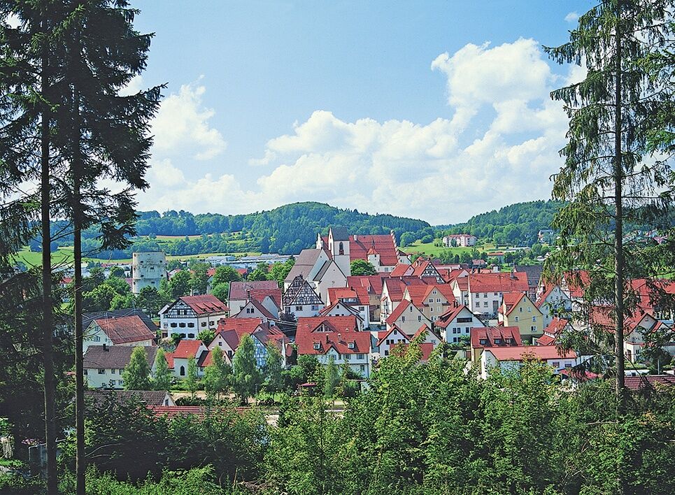
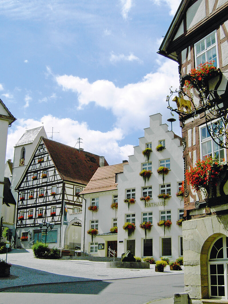
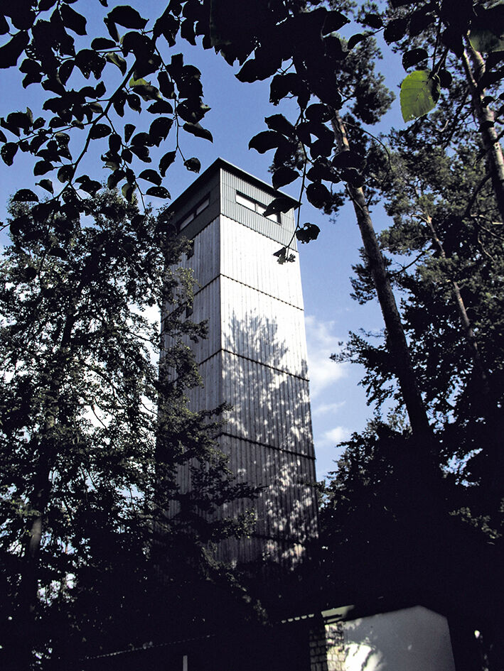
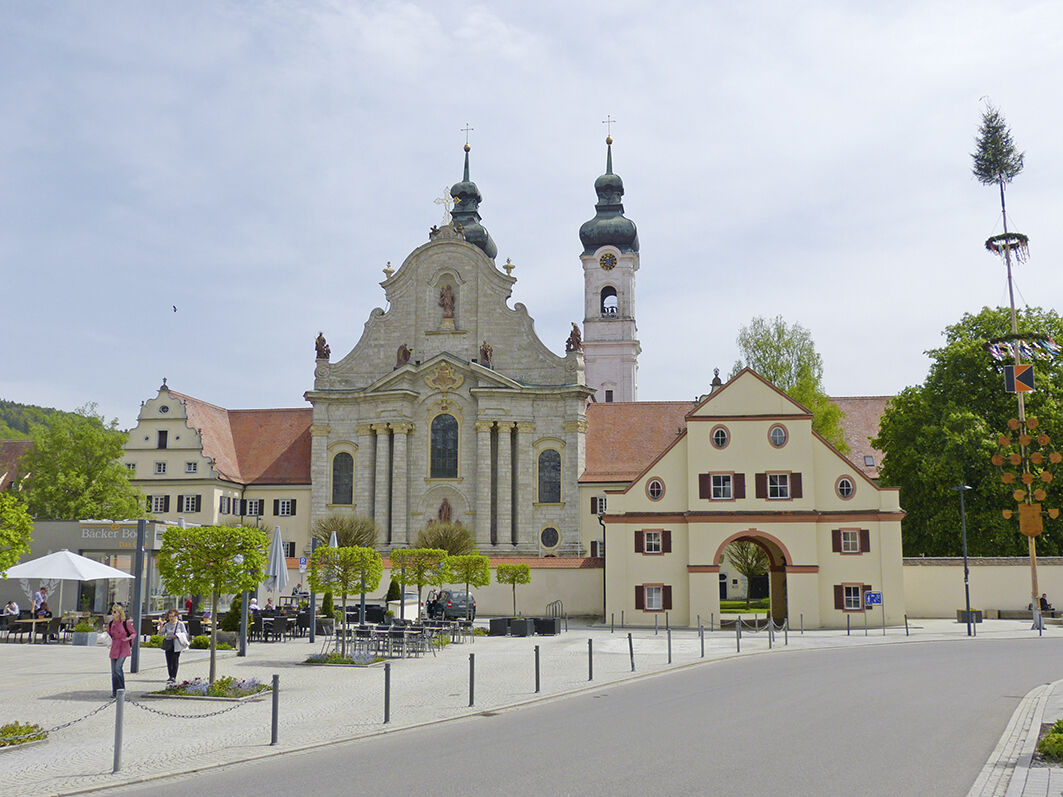
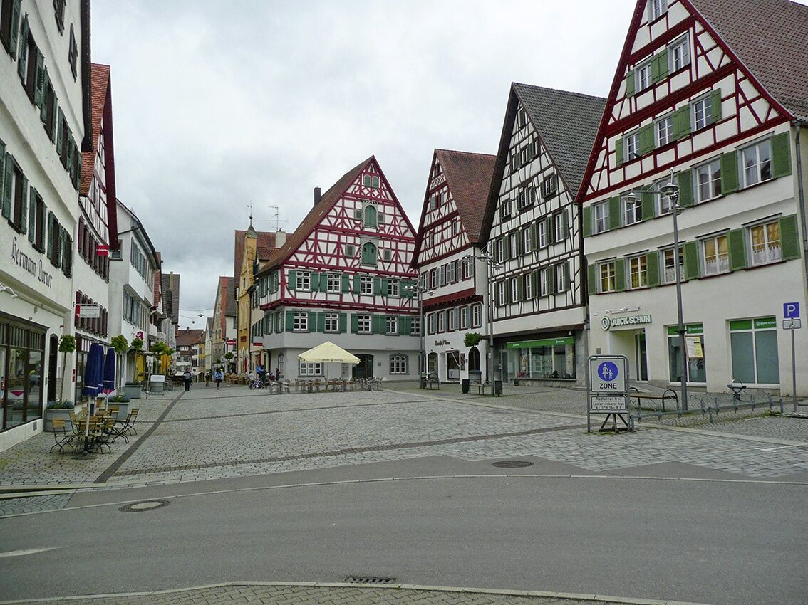
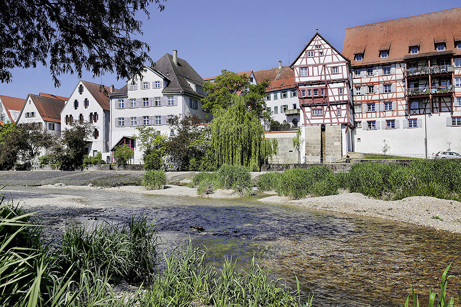
From the medieval-shaped Trochtelfingen, the route heads west onto the Swabian Alb. We soon reach the district of Steinhilben and from there turn directly south, continuing towards the splendid landscape: green fields and meadows as far as the eye can see. We pass through tranquil towns like Wilsingen and Pfronstetten; in Aichstetten, we turn right heading south to Tigerfeld. The journey continues in a peaceful sequence through Huldstetten and Gauingen to Zwiefalten. A highlight there is the monastery with the Zwiefalter Münster and the Wimsener Cave, the only water cave in Germany accessible by boat. Thirsty throats are quenched at the Zwiefalter monastery brewery, the beer is popular far beyond the region's borders. The route continues to Zwiefaltendorf, where we turn south. Shortly after crossing the Danube, we reach Bechingen, leave Daugendorf on our left, and finally arrive at the stage destination Riedlingen, a medieval-shaped town. Worth seeing are the town hall ensemble, the town fortifications, and the many half-timbered houses.
Tak
Bike helmet, patch kit, cycling gloves, sun protection, provisions, and drinking water
The town is located on the B313 and is easily accessible from all directions.
Trochtelfingen is well accessible by both train and buses.
2
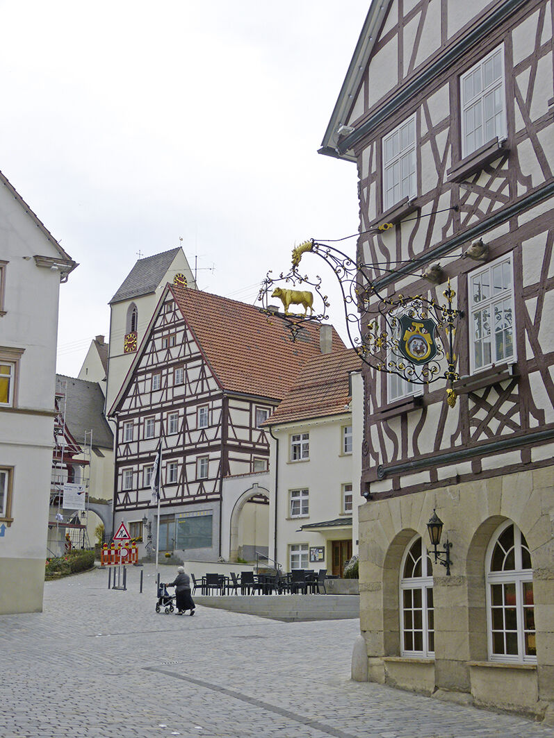
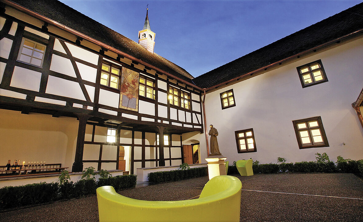
You definitely should not miss the city museum "Schöne Stiege" in Riedlingen, one of the best-preserved half-timbered houses of Upper Swabia from the 16th century.
Popularne wycieczki w okolicy
-
5,0
Glastal
średniWędrówka 10,2 km -
4,0
Lautertal, Gundelfingen
światłoWędrówka 7,78 km -
4,0
Wolfstal
średniWędrówka 8,36 km -
Donau und Große Lauter
światłoWędrówka 14,2 km -
Donauradweg von Donaueschingen bis Regensburg Etappe 2
światłoKolarstwo długodystansowe 73,4 km -
3,0
HOCHGEHBERGE I »hochgehswiggert« - Premiumwanderweg Hohengundelfingen-Burg Derneck
średniWędrówka 6,22 km -
4,0
Ensmad
światłoWędrówka 12,7 km -
German Half-Timbered Road: Riedlingen – Trochtelfingen
światłoJazda na rowerze 41,1 km -
5,0
Rundweg ab Ehestetten
światłoWędrówka 12,4 km -
Hayingen zur Ruine Alt Ehrenfels
światłoWędrówka 13,7 km
Wędrówki i tropienie


Nie przegap ofert i inspiracji na następne wakacje
Twój adres e-mail została dodana do listy mailingowej.