


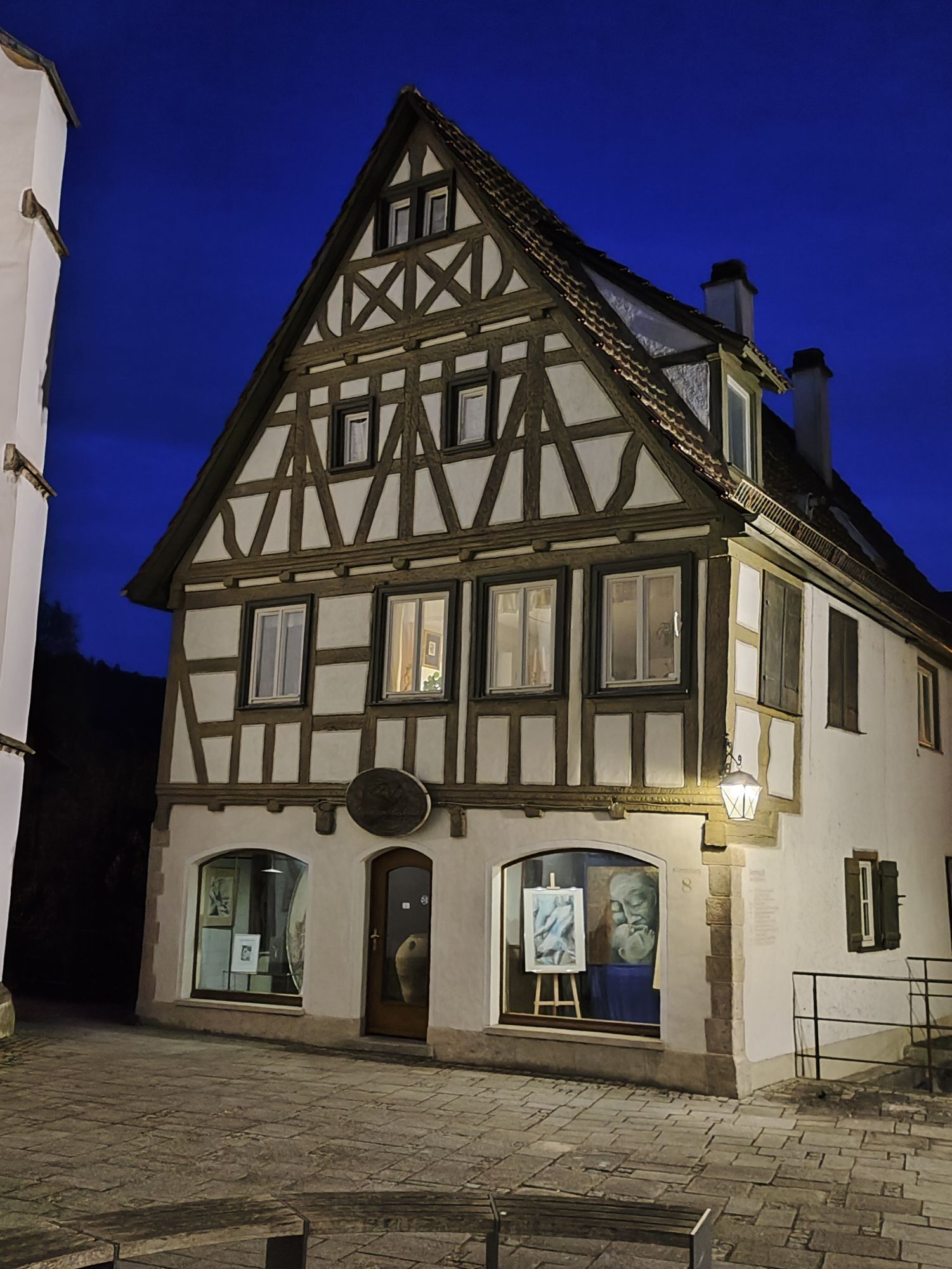
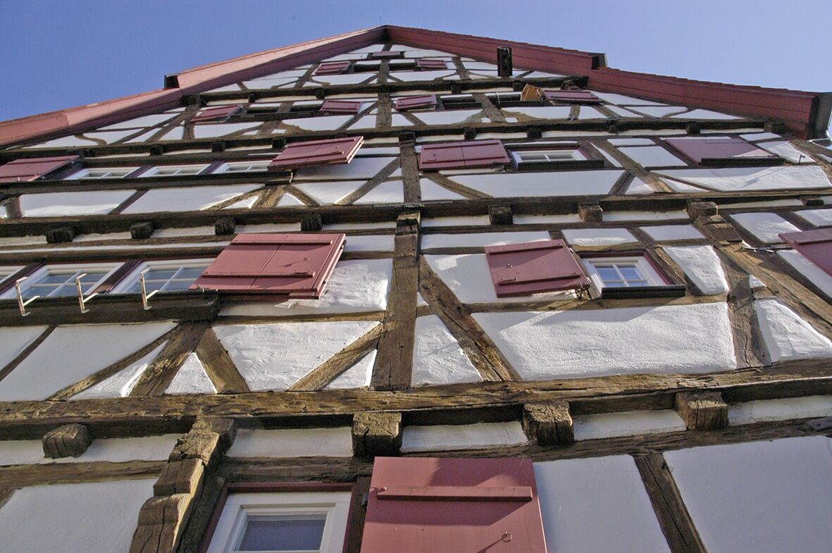
German Half-Timbered Road Blaubeuren – Riedlingen
Poziom trudności: 2
Zdjęcia naszych użytkowników
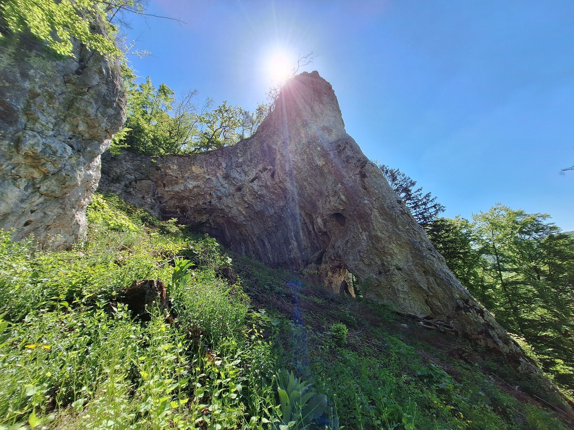
Just a few kilometers behind Blaubeuren, where the Urdonau once flowed, lie today the most significant prehistoric caves. The Geißenklösterle cave near Weiler can be considered the prehistoric cradle of...
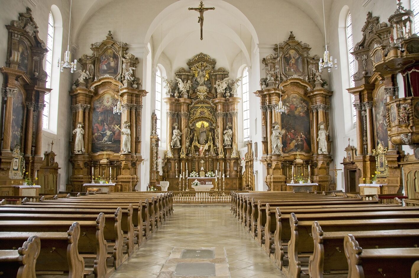
Just a few kilometers behind Blaubeuren, where the Urdonau once flowed, lie today the most significant prehistoric caves. The Geißenklösterle cave near Weiler can be considered the prehistoric cradle of the music industry, as three flutes cut from swan bones and mammoth ivory were unearthed after more than 30,000 years. In the "Hohle Fels" near Schelklingen, archaeologists discovered the "Venus of Hohle Fels," a roughly 40,000-year-old female figurine carved from mammoth ivory. Beer enthusiasts should stop in the beer culture city of Ehingen. Along the Danube, we reach Munderkingen, known for its half-timbered houses and numerous fountains. In Obermarchtal, a visit to the monastery complex with the oldest Baroque church in Upper Swabia is worthwhile. Soon we arrive at our destination in Riedlingen, the medieval Danube city with many half-timbered houses and the distinctive warmth of the Swabian Alb.

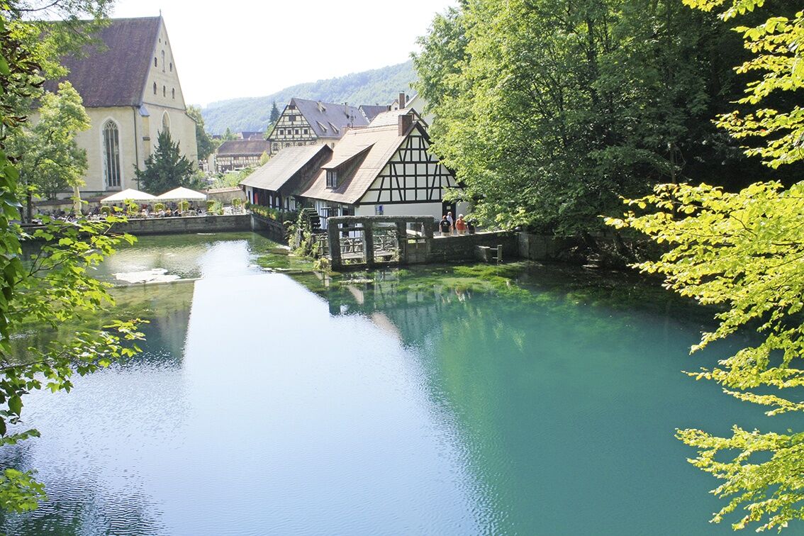
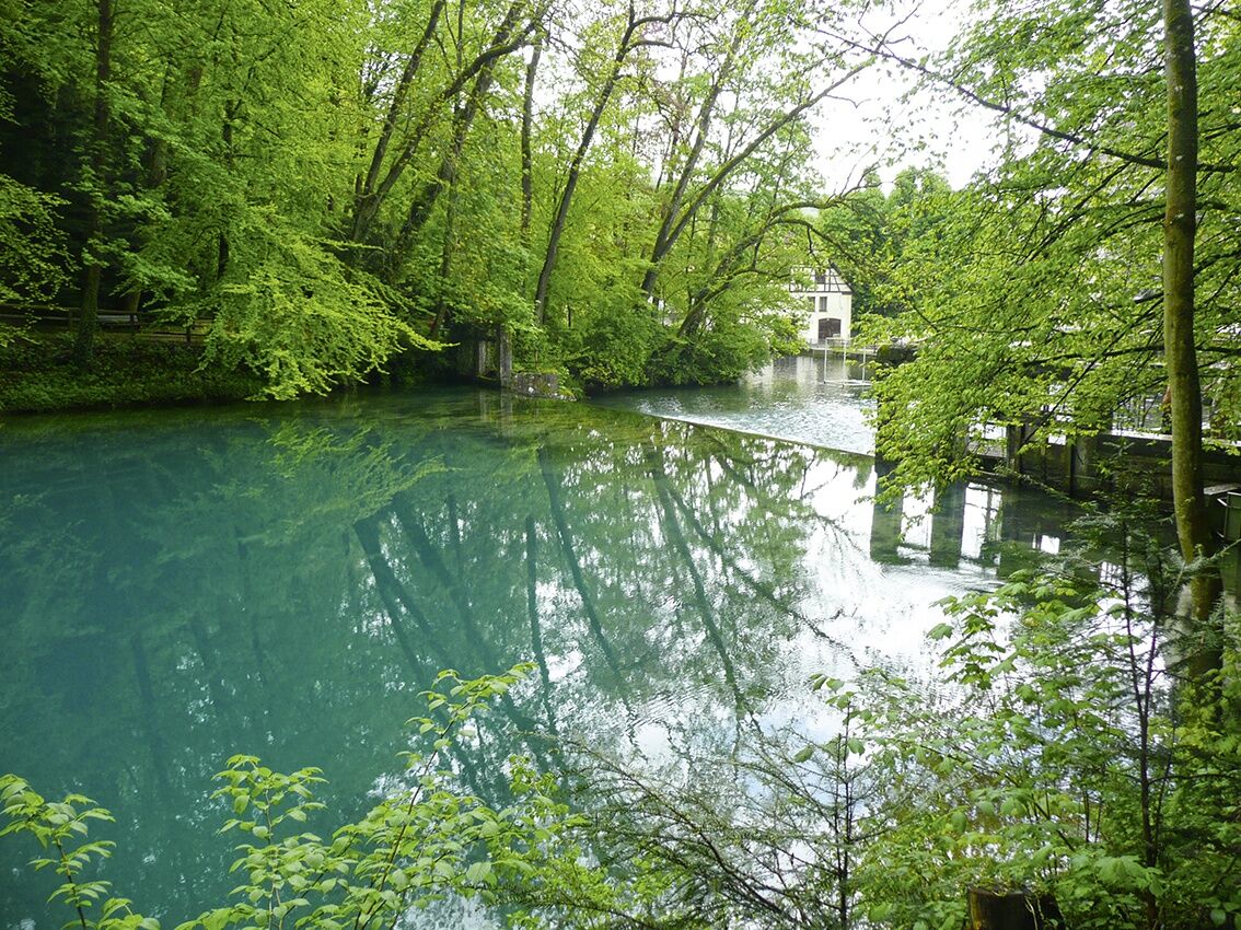
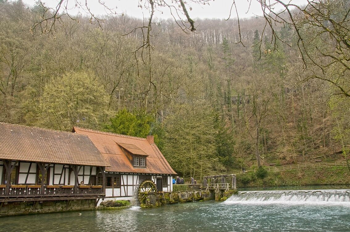

Leaving the Blautopf city of Blaubeuren towards Schelklingen, our bike path leads through the picturesque Achtal valley, taking us over a very beautiful section to the "Hohle Fels," which has recently gained fame due to the spectacular discovery of the "Venus of Hohle Fels." This prehistoric site is one of the largest cave halls in the Swabian Alb. The route continues through Schmiechen to Allmendingen. Through the GeoPark Swabian Alb, it passes caves, grottos, and the impressive rock shelters of the "Lutheran mountains."
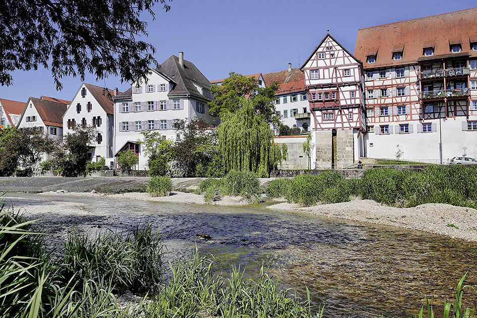
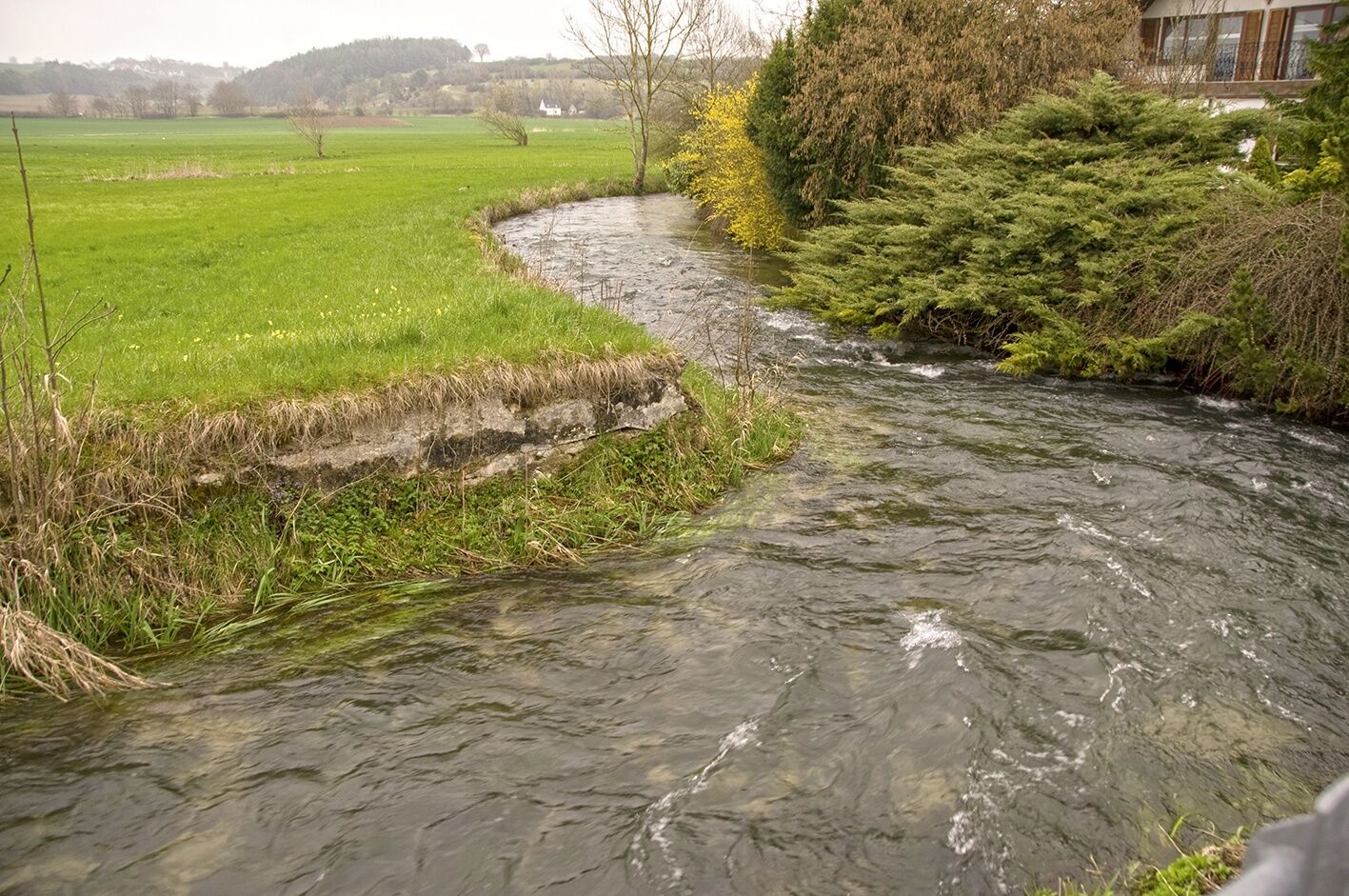
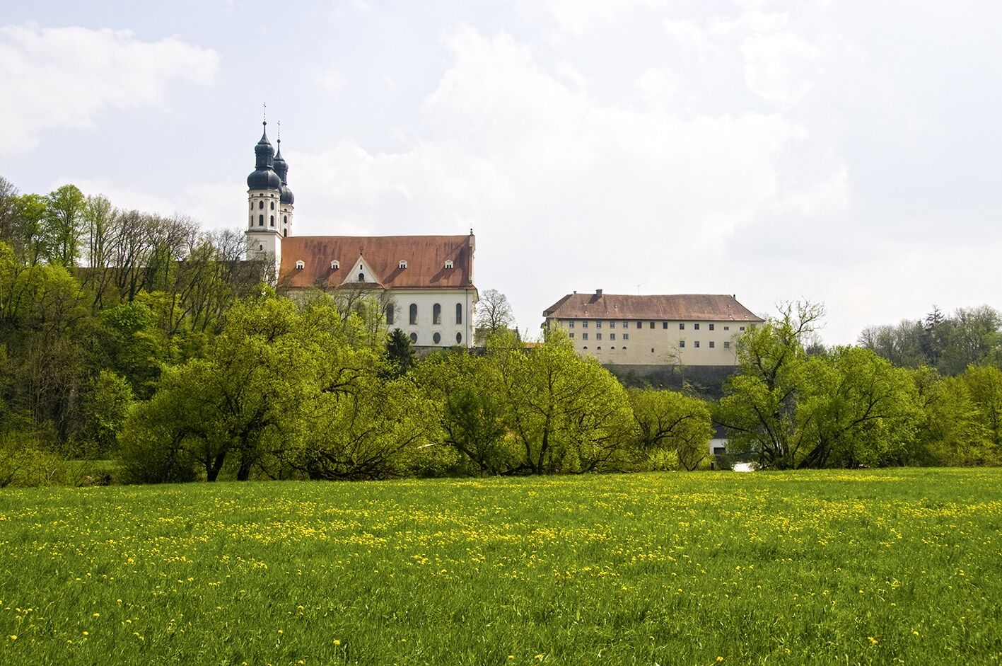
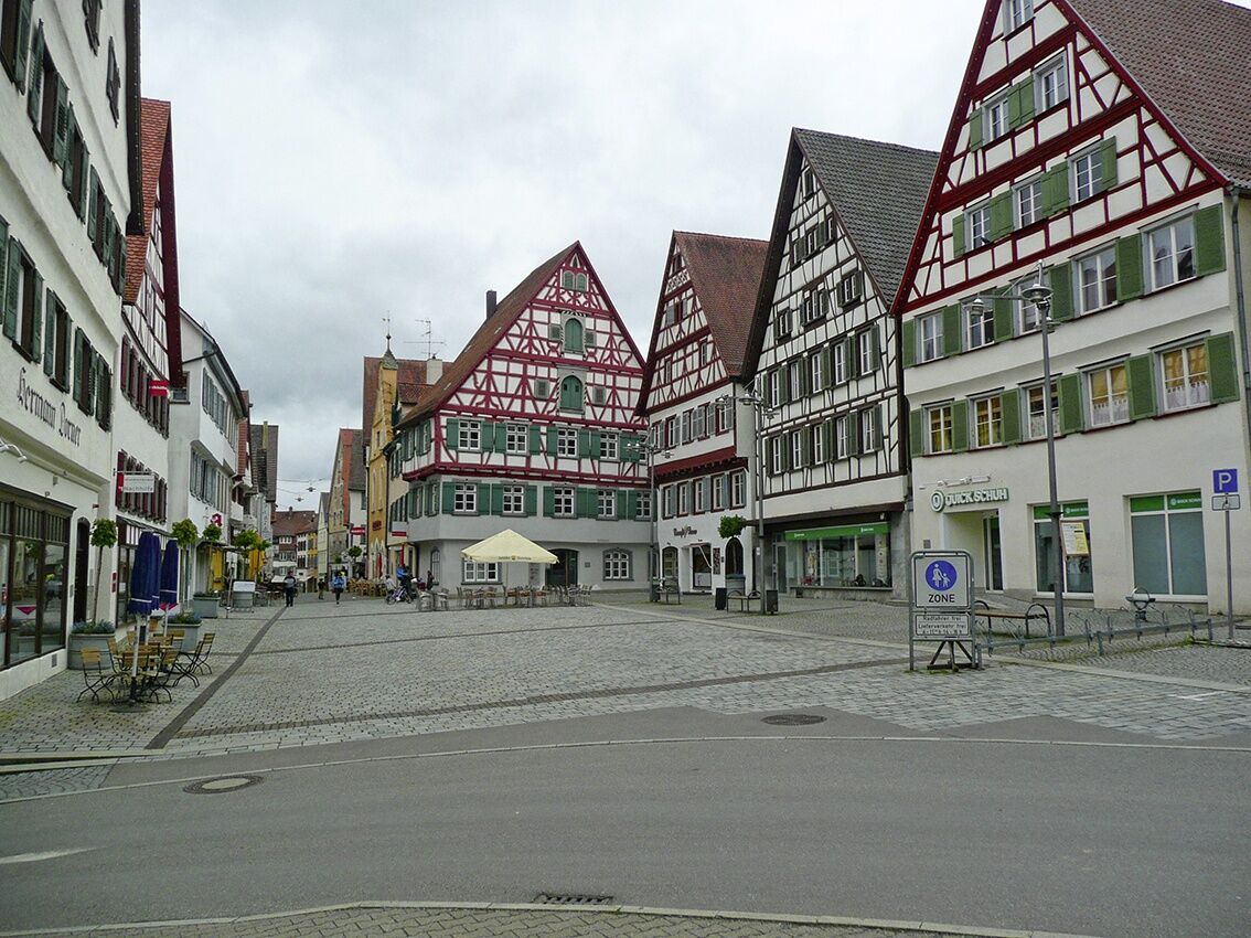
From the beer culture city of Ehingen on the Danube, we cycle further to Munderkingen. Both towns impress with beautiful old towns, impressive half-timbered buildings, and interesting sights. Our idyllic bike path mostly follows the picturesque Danube to Untermarchtal, known for its monastery, the Vincentian Sisters’ educational house, and Untermarchtal Castle.
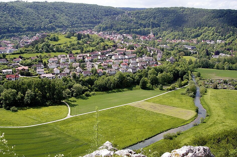
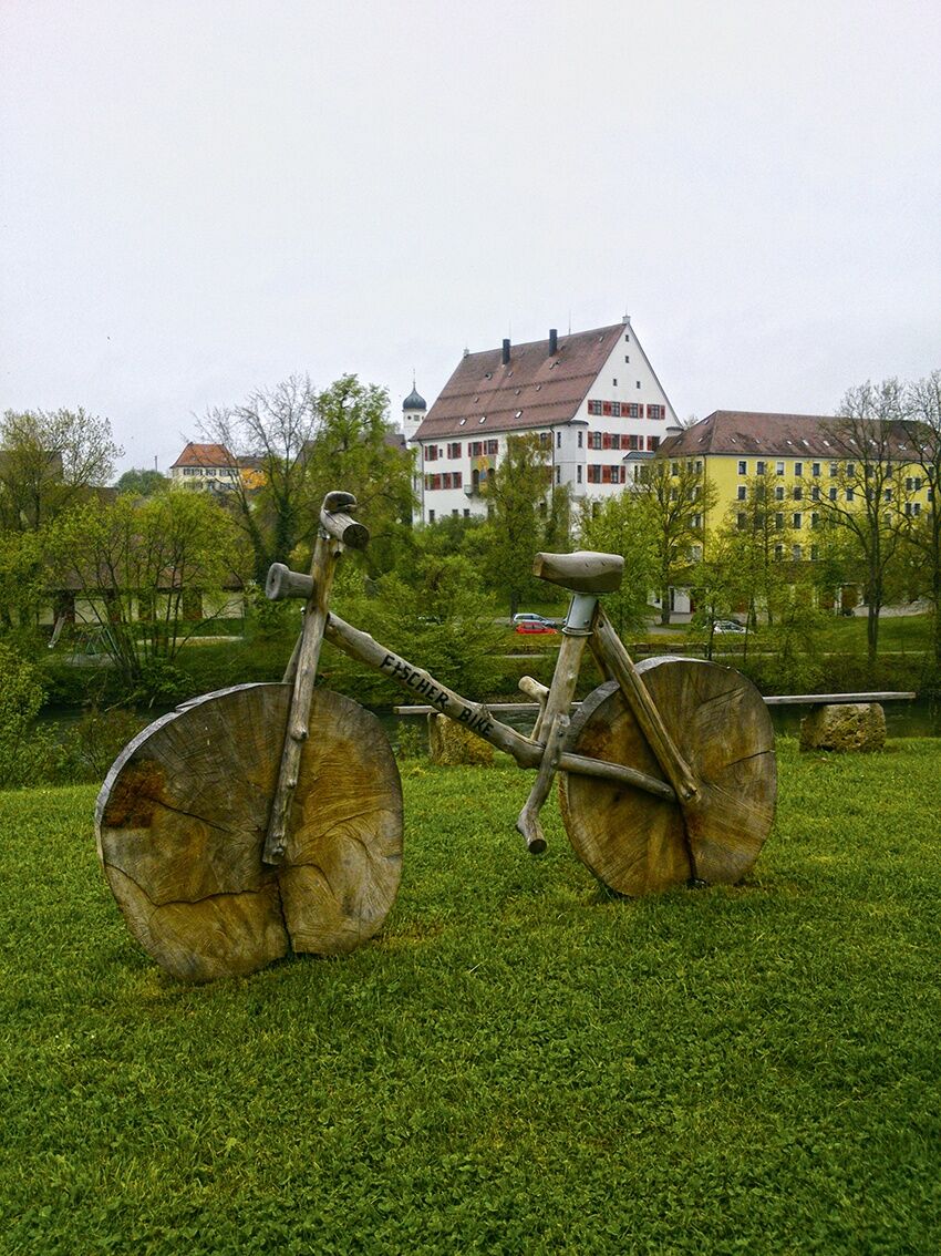
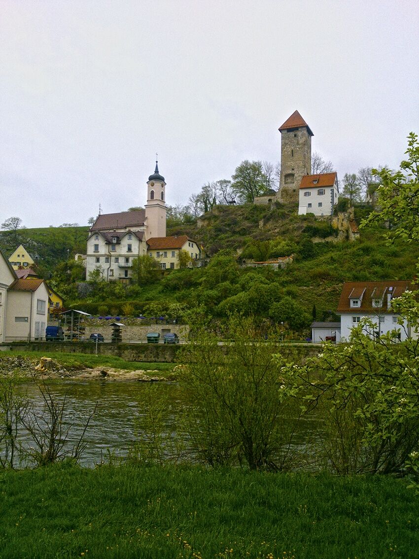
After leaving the town, we encounter interesting rock formations and soon arrive at a pleasant rest area directly on the Danube. After the Obermarchtal junction, a steep climb of about 15% must be tackled. At the top ridge lies the town of Rechtenstein. From the bergfried of the former Rechtenstein castle, the view over the Danube valley is breathtaking. The path then descends into the valley, and after Datthausen, a very steep descent awaits us. Passing through Zwiefaltendorf and Bechingen, we finally reach our destination in Riedlingen. The traditional small town lies between the Bussen (767 m) and the Swabian Alb.
Tak
Bicycle helmet, repair kit, cycling gloves, sun protection, provisions, and drinking water
Coming from Ulm via the B28 to Blaubeuren.
Coming from Stuttgart via the A8, the B10, or the B28 to Blaubeuren.
By train to Blaubeuren station
Ample parking is available around the historic city center for customers, visitors, and residents. All parking spaces are free to use, but some have time restrictions.
2
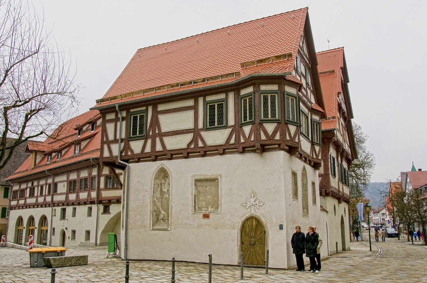
The Capuchin monastery or the museum "Schöne Stiege" in Riedlingen are worth a visit!
Popularne wycieczki w okolicy
- 4,0
Lautertal, Gundelfingen
światłoWędrówka 7,78 km - 5,0
Glastal
średniWędrówka 10,2 km - 4,0
Wolfstal
średniWędrówka 8,36 km Donau und Große Lauter
światłoWędrówka 14,2 km- 3,0
Rund um Urspring
światłoWędrówka 15,5 km - 3,0
HOCHGEHBERGE I »hochgehswiggert« - Premiumwanderweg Hohengundelfingen-Burg Derneck
średniWędrówka 6,22 km Mundingen
średniWędrówka 14,9 kmHayingen zur Ruine Alt Ehrenfels
światłoWędrówka 13,7 km- 5,0
Unterwilzingen - Erbstetter Tropfsteinhöhle
średniWędrówka 6,71 km Hohler Felsen
światłoWędrówka 9,93 km

Wędrówki i tropienie


Nie przegap ofert i inspiracji na następne wakacje
Twój adres e-mail została dodana do listy mailingowej.