






Gravel tour through the national park region
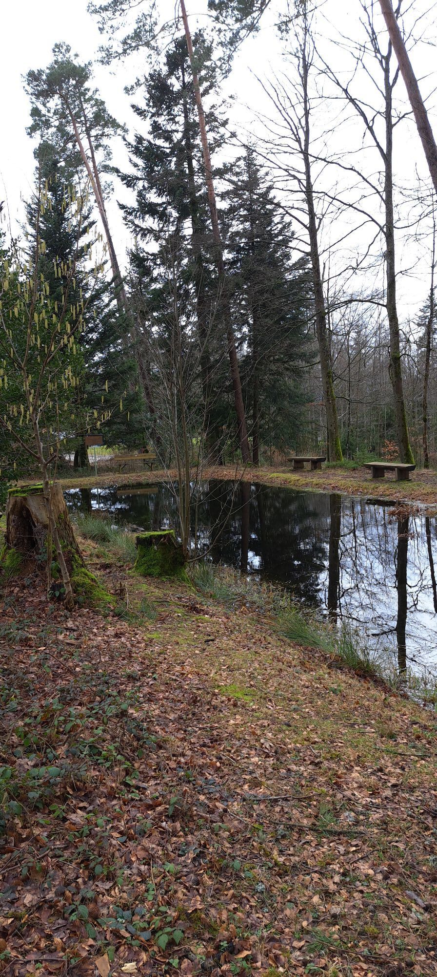
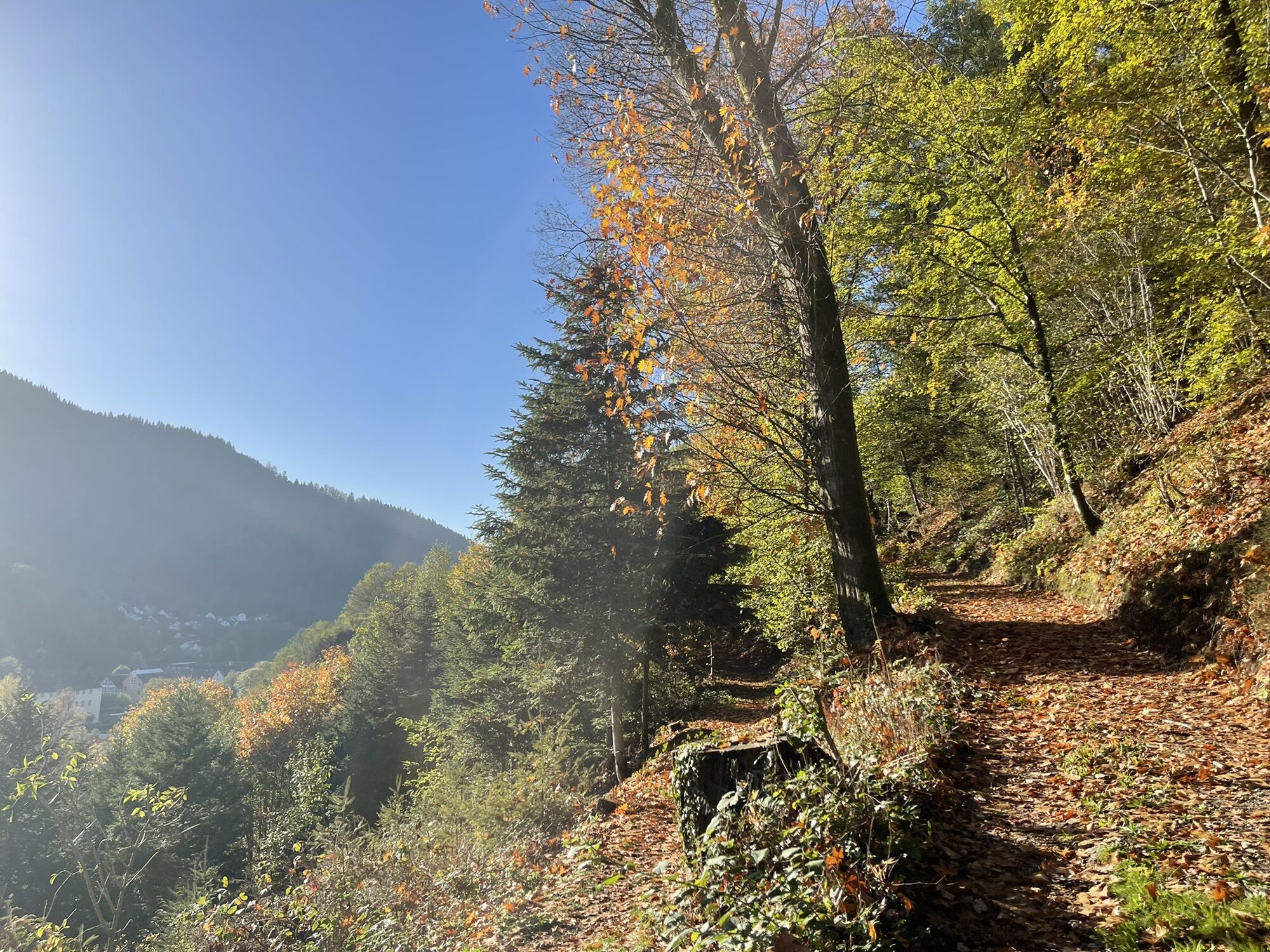
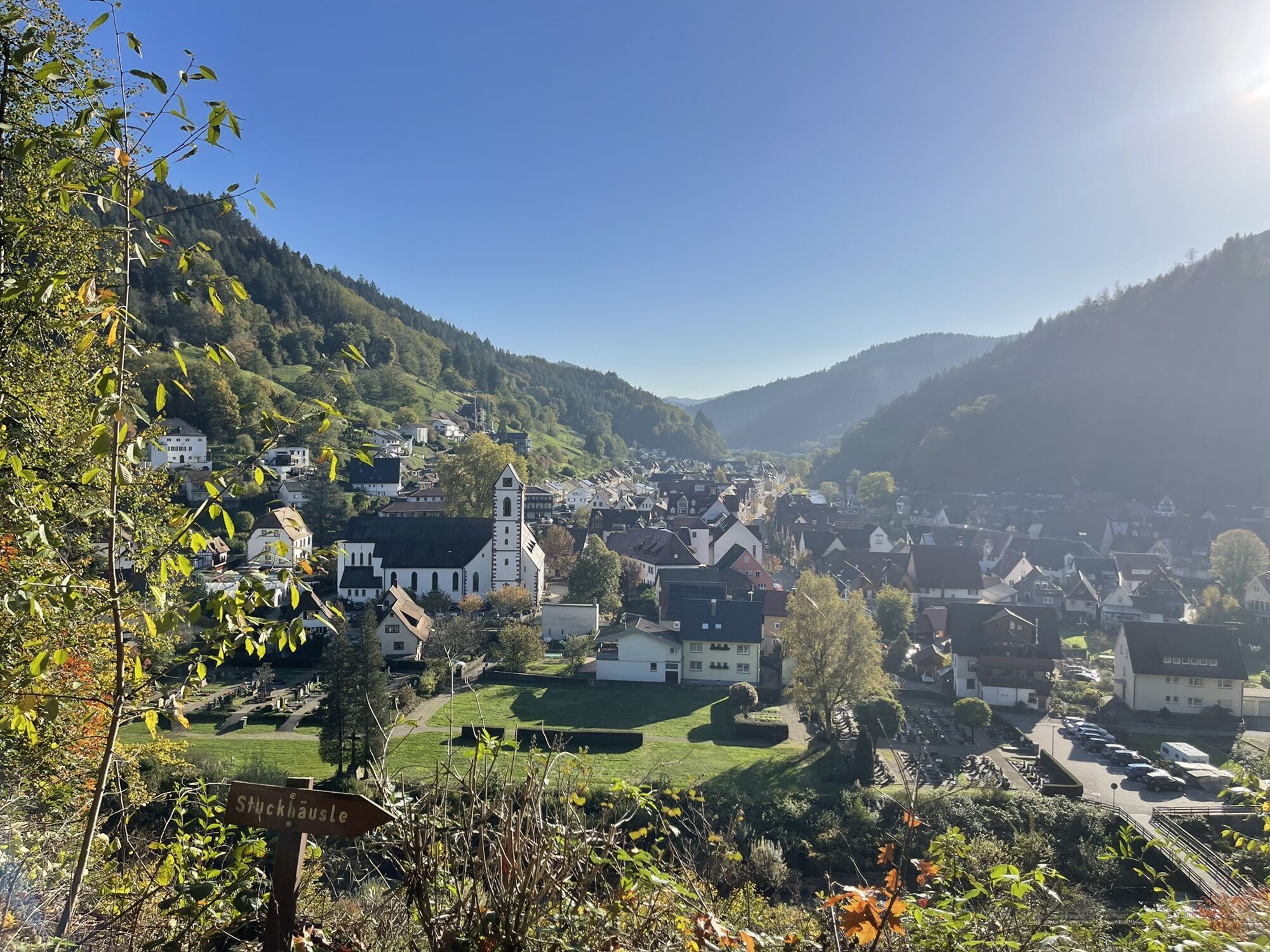
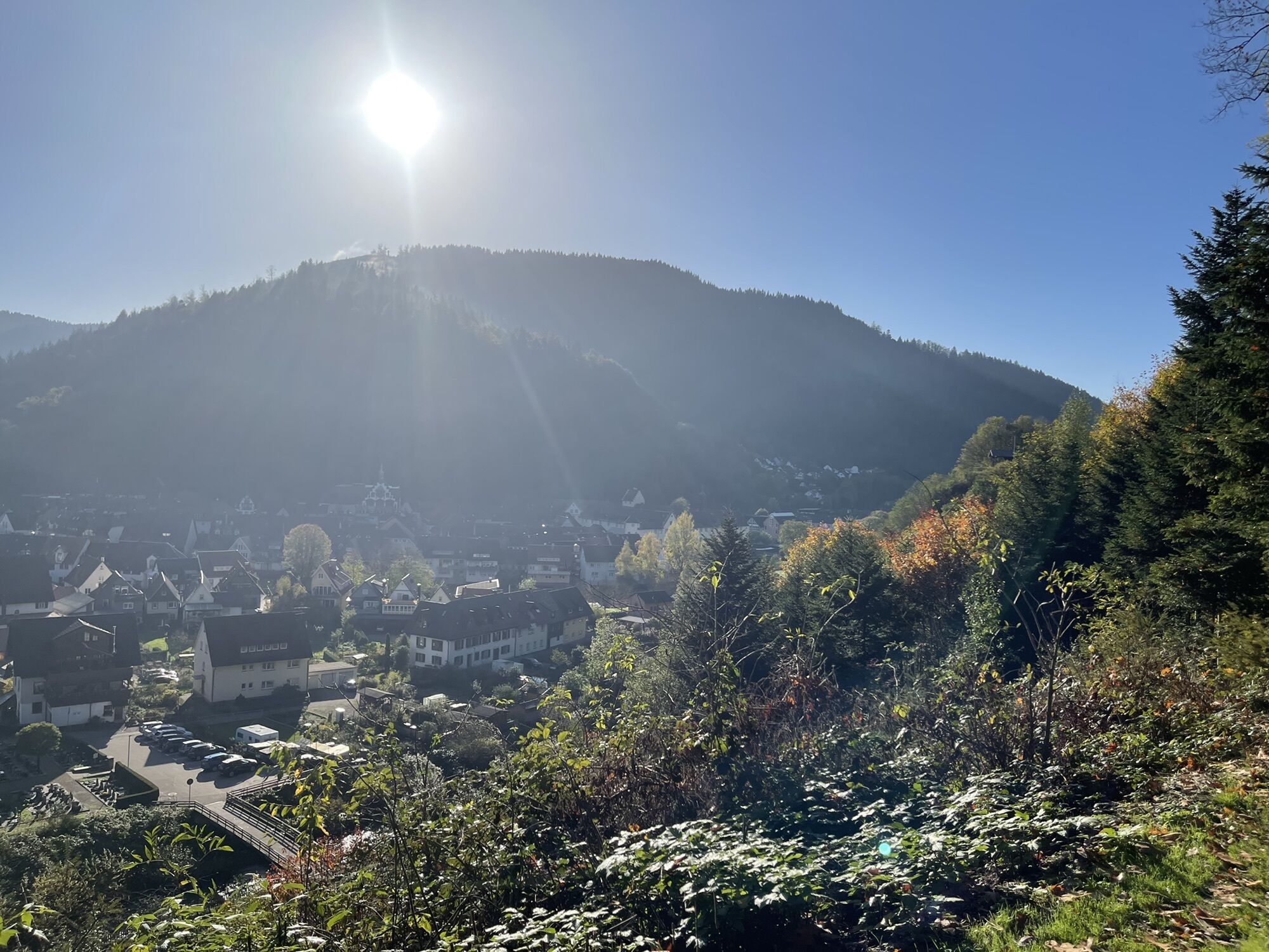
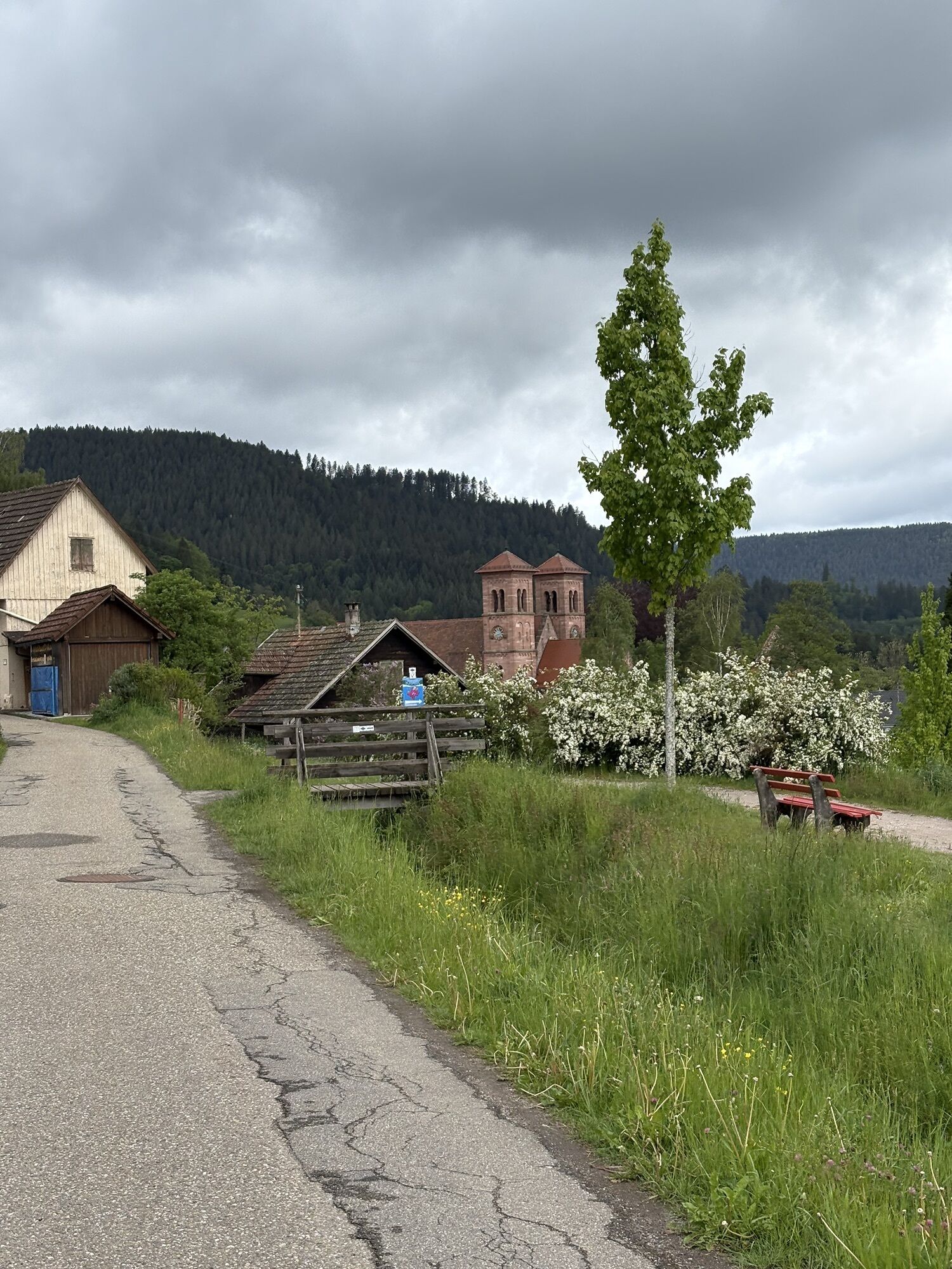
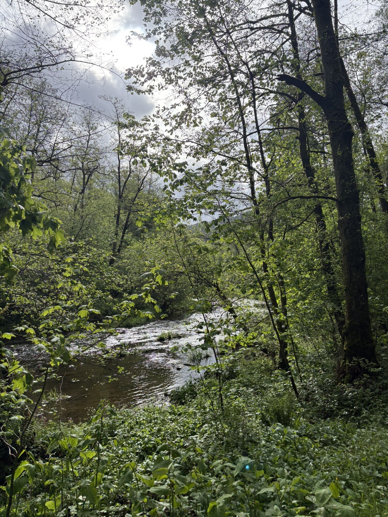
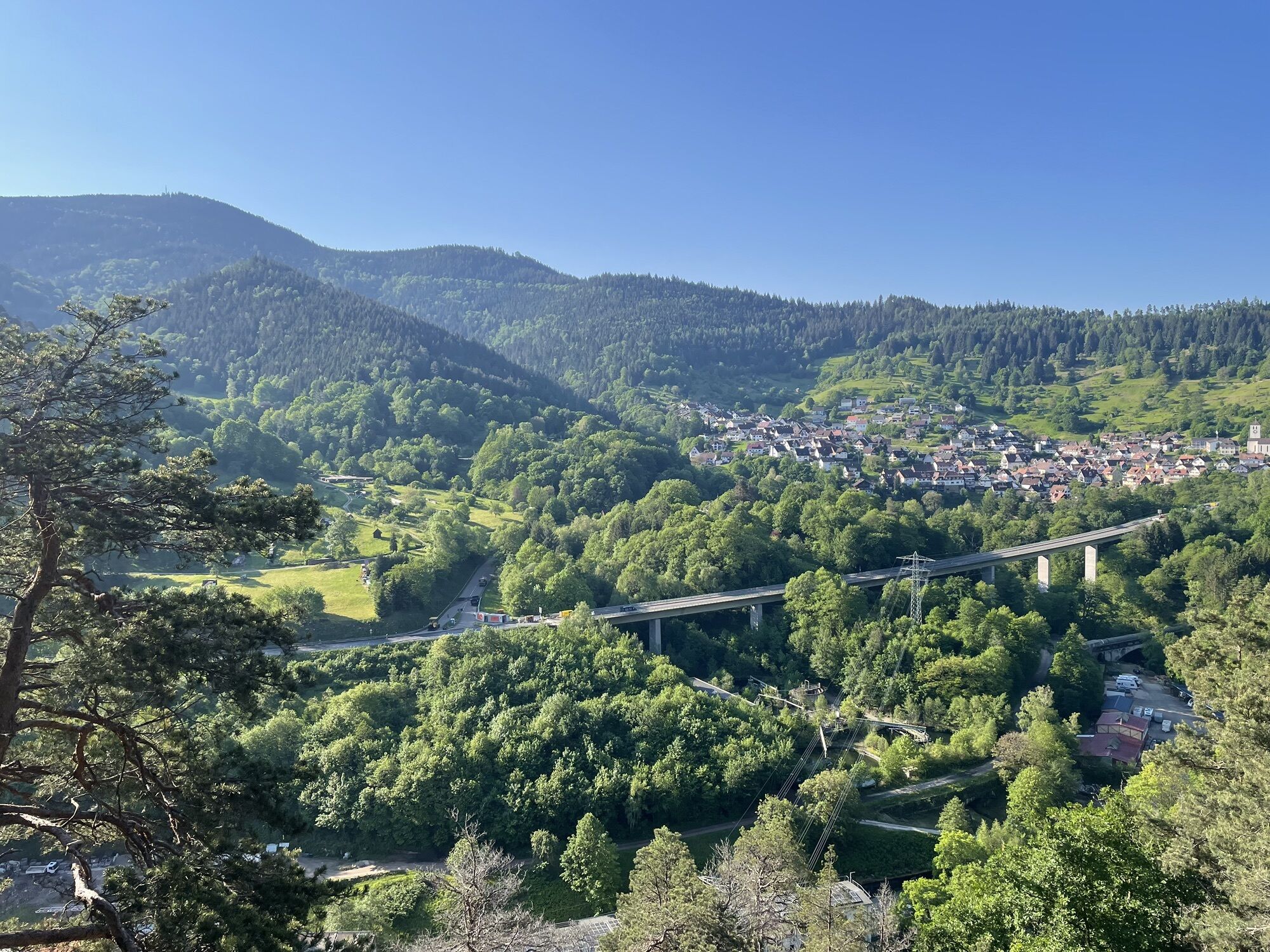
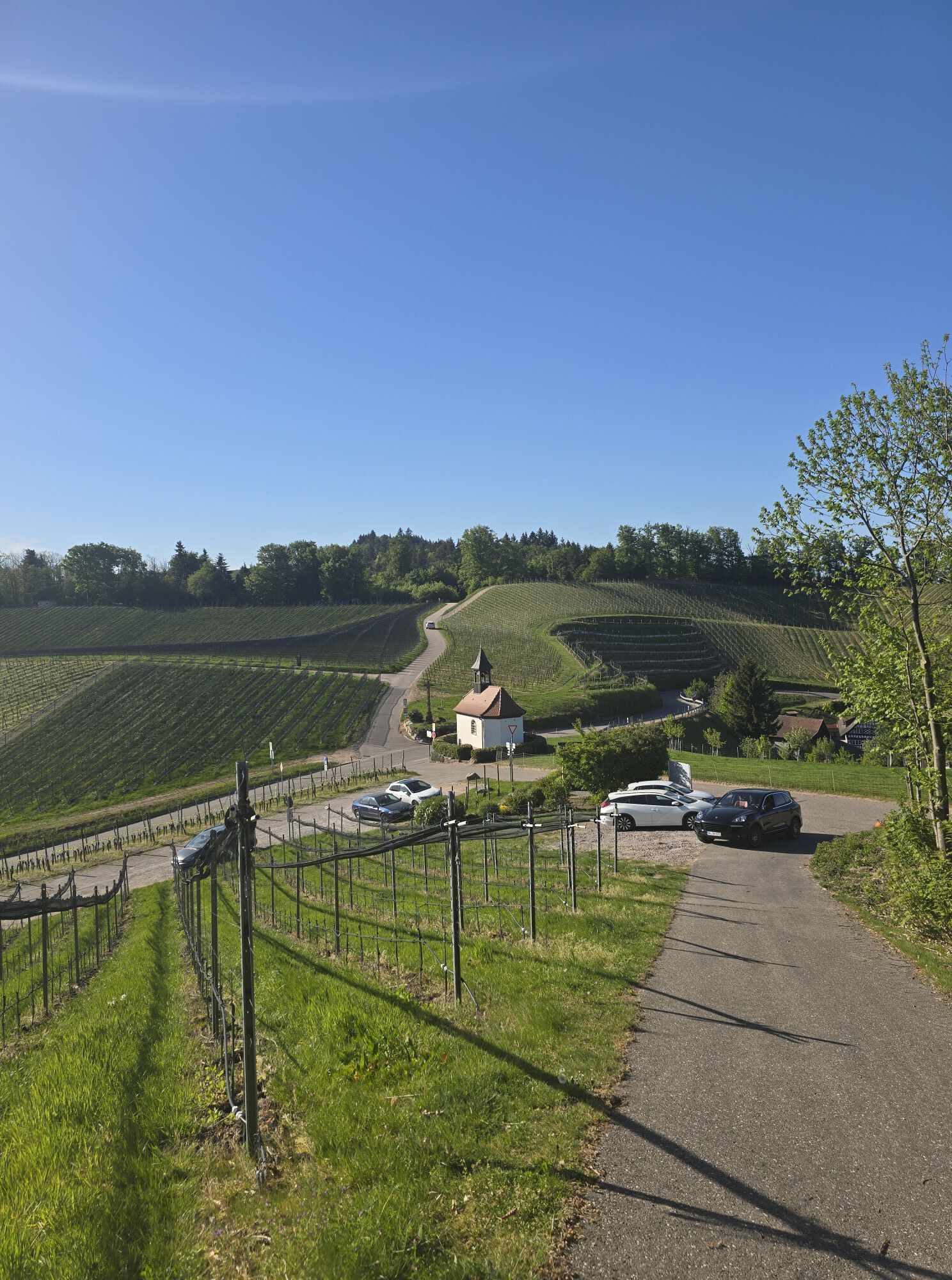
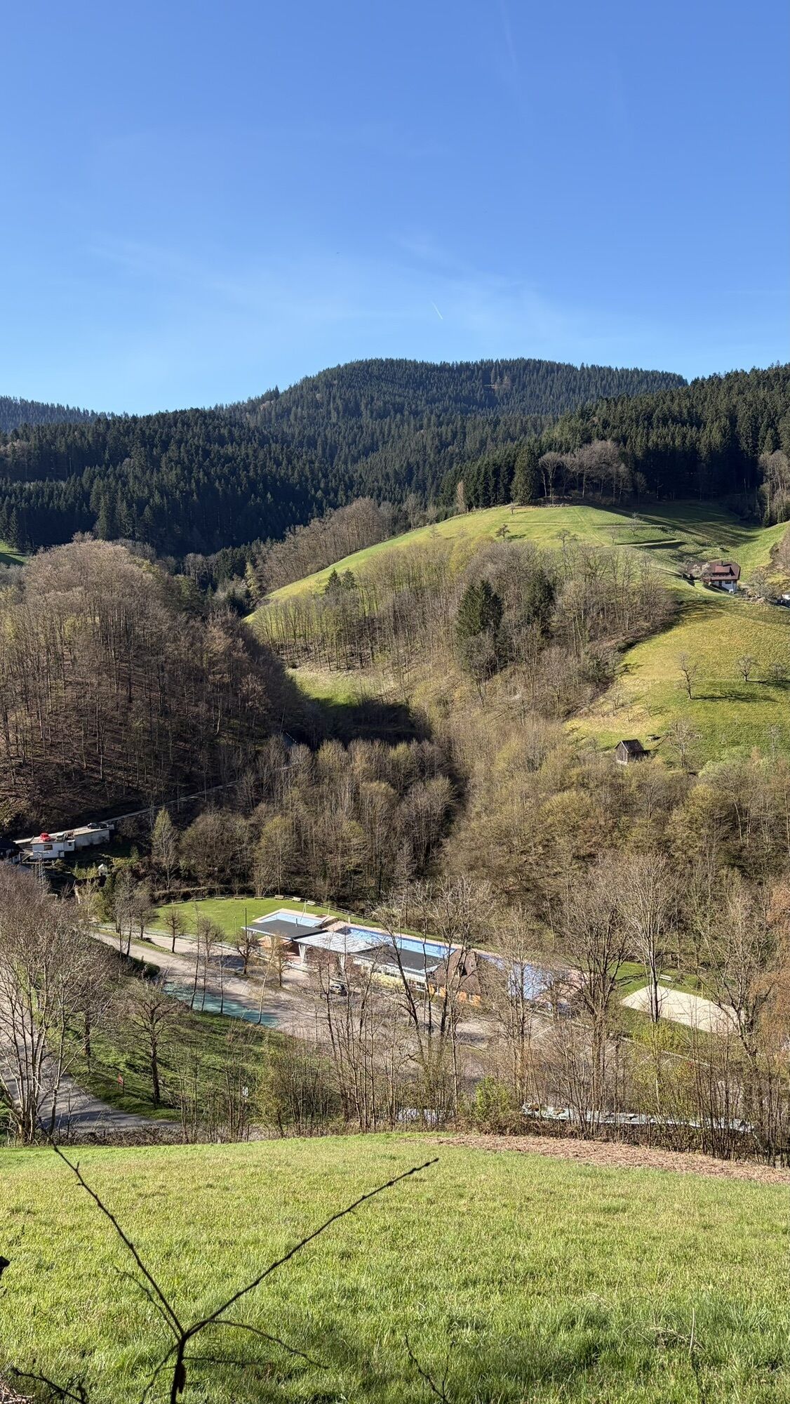
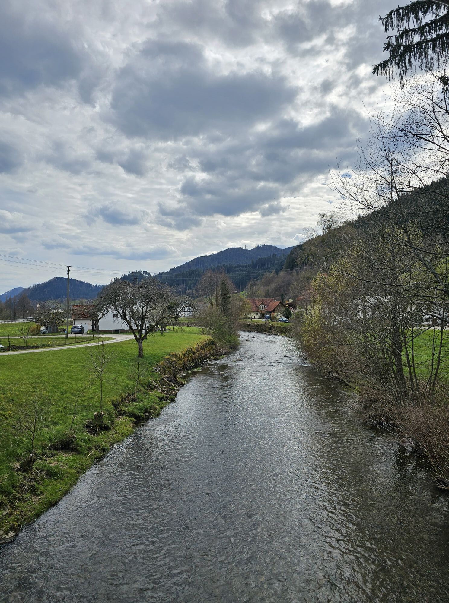
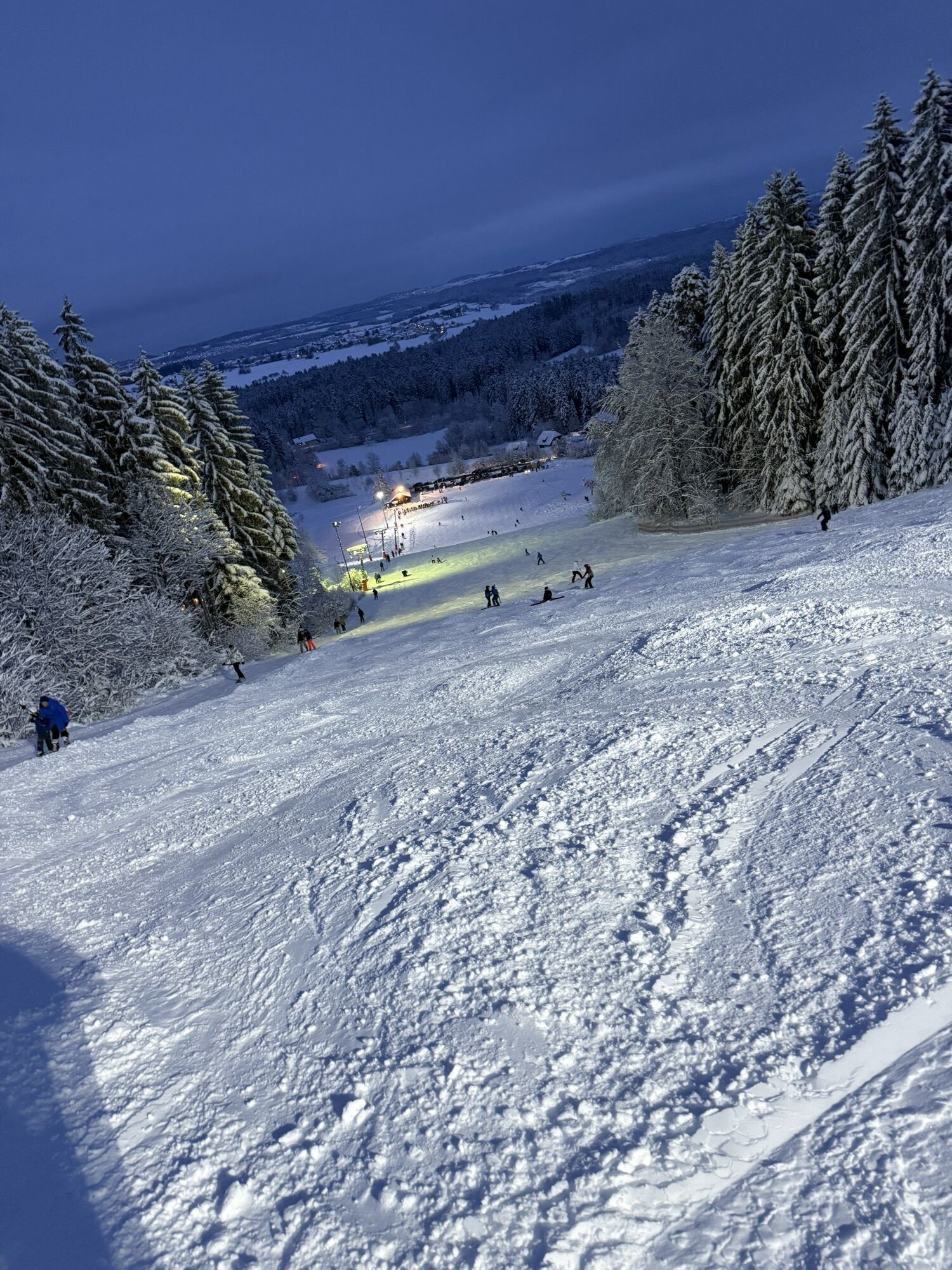
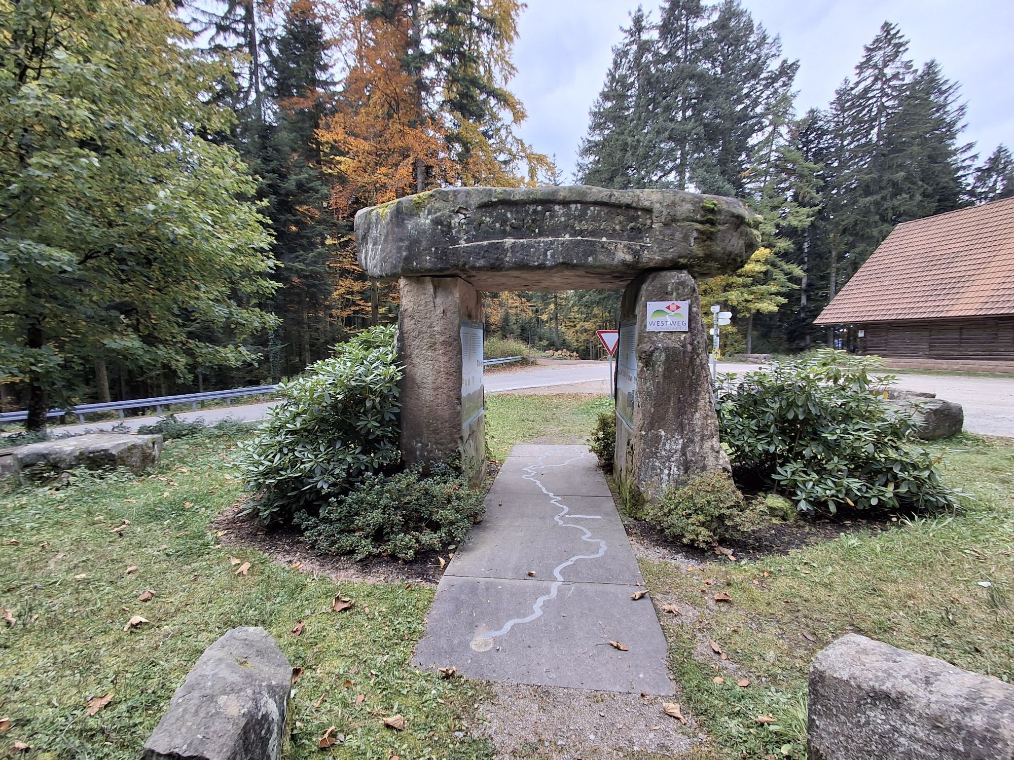
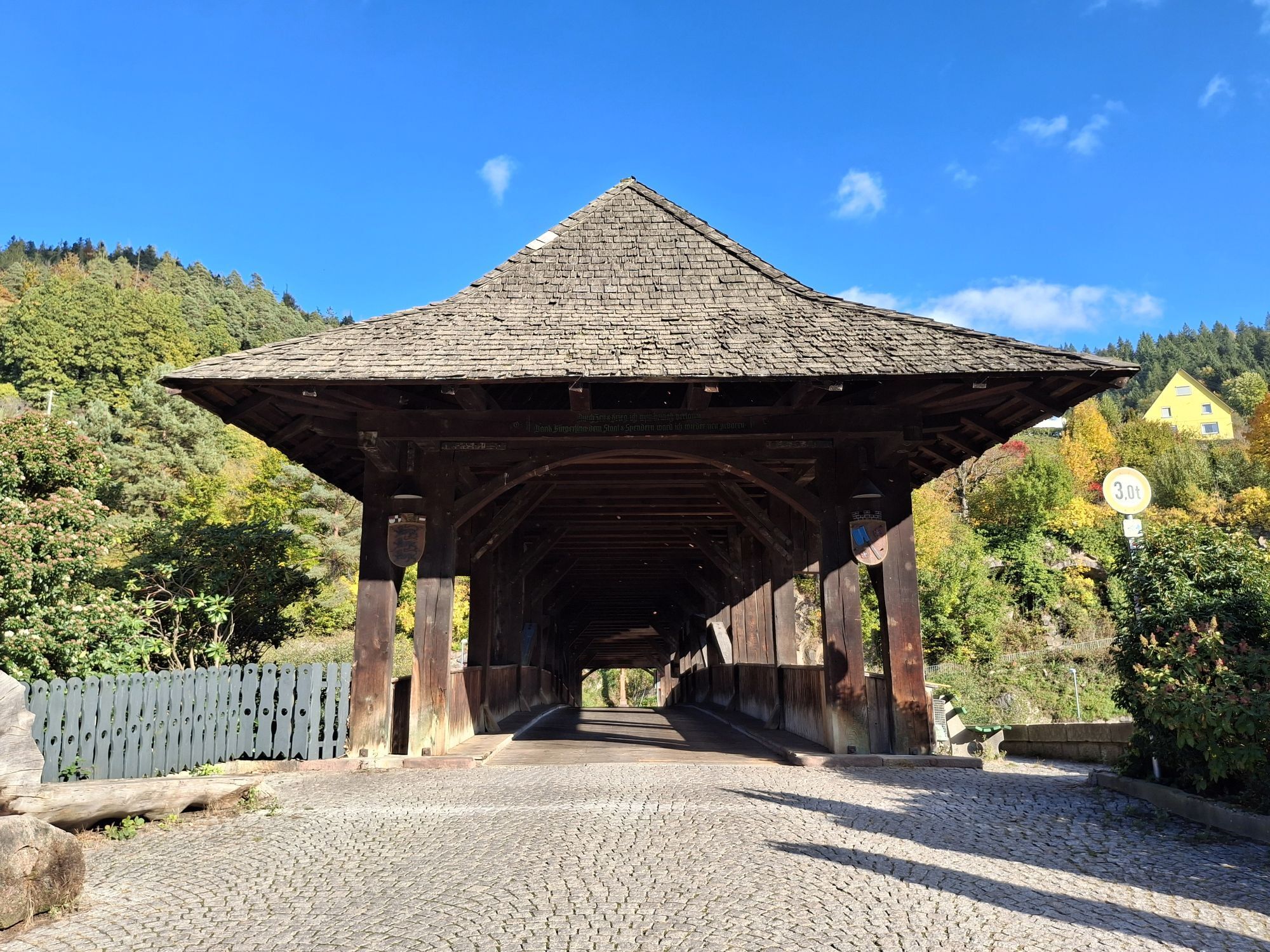

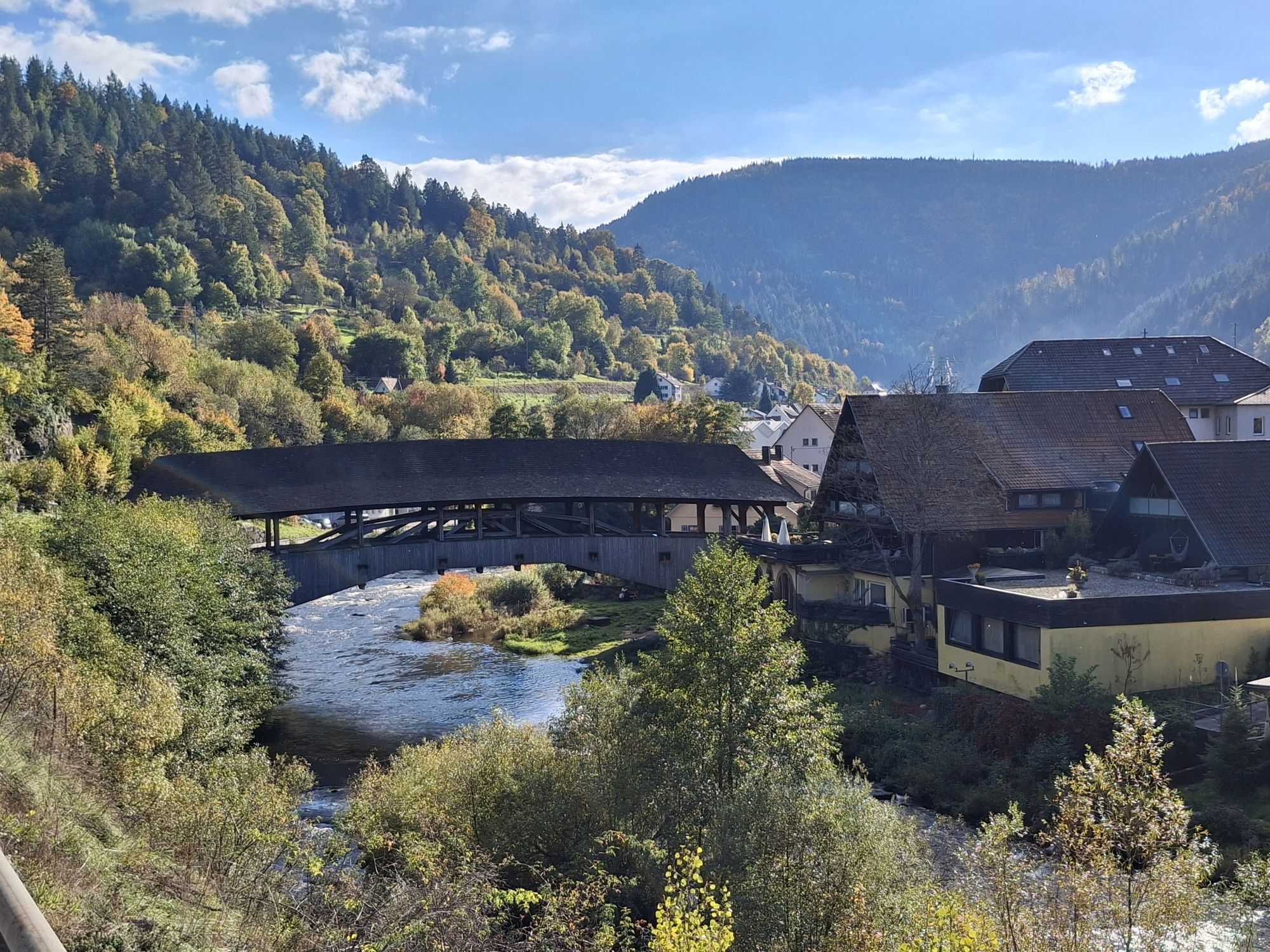

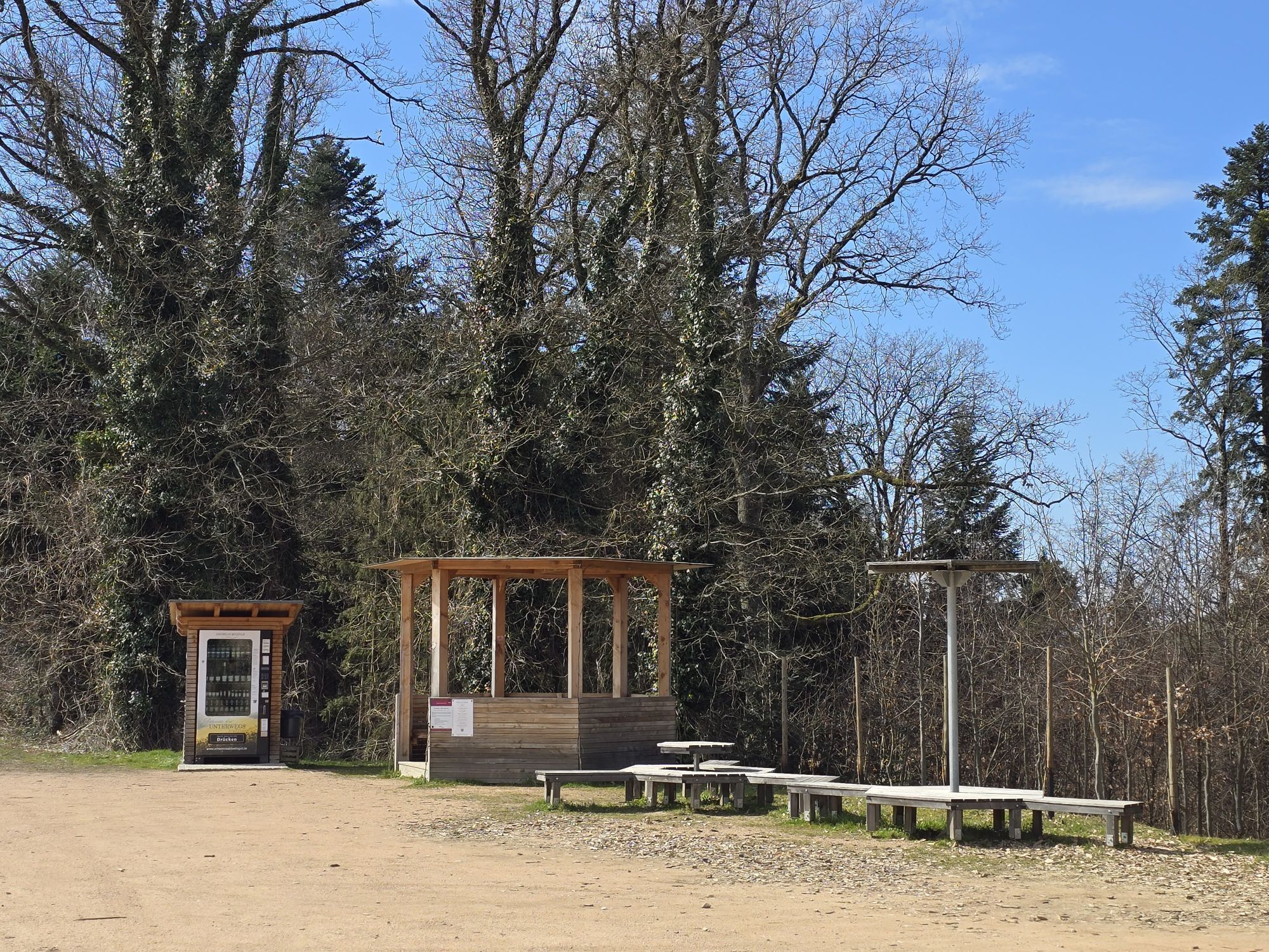
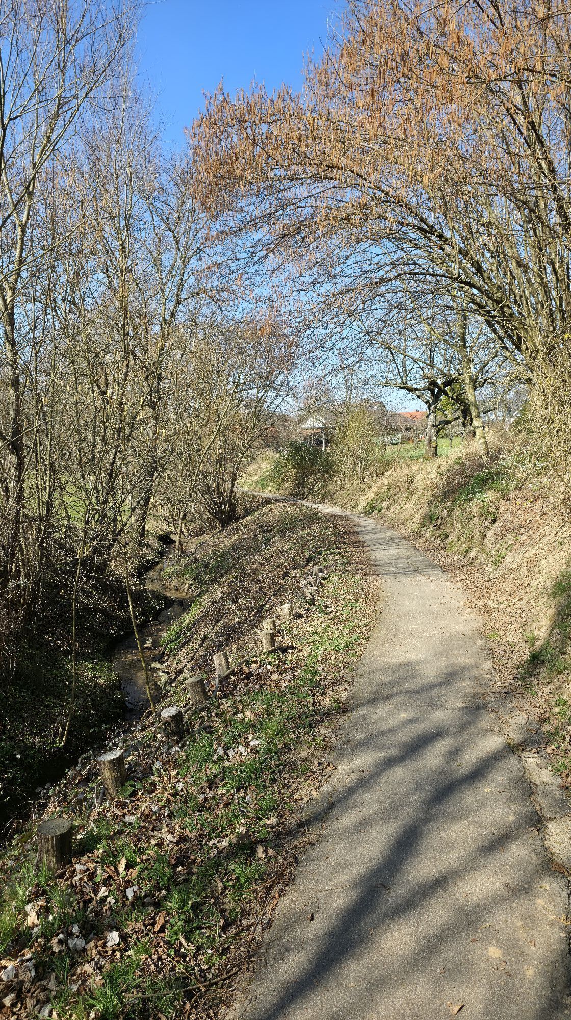
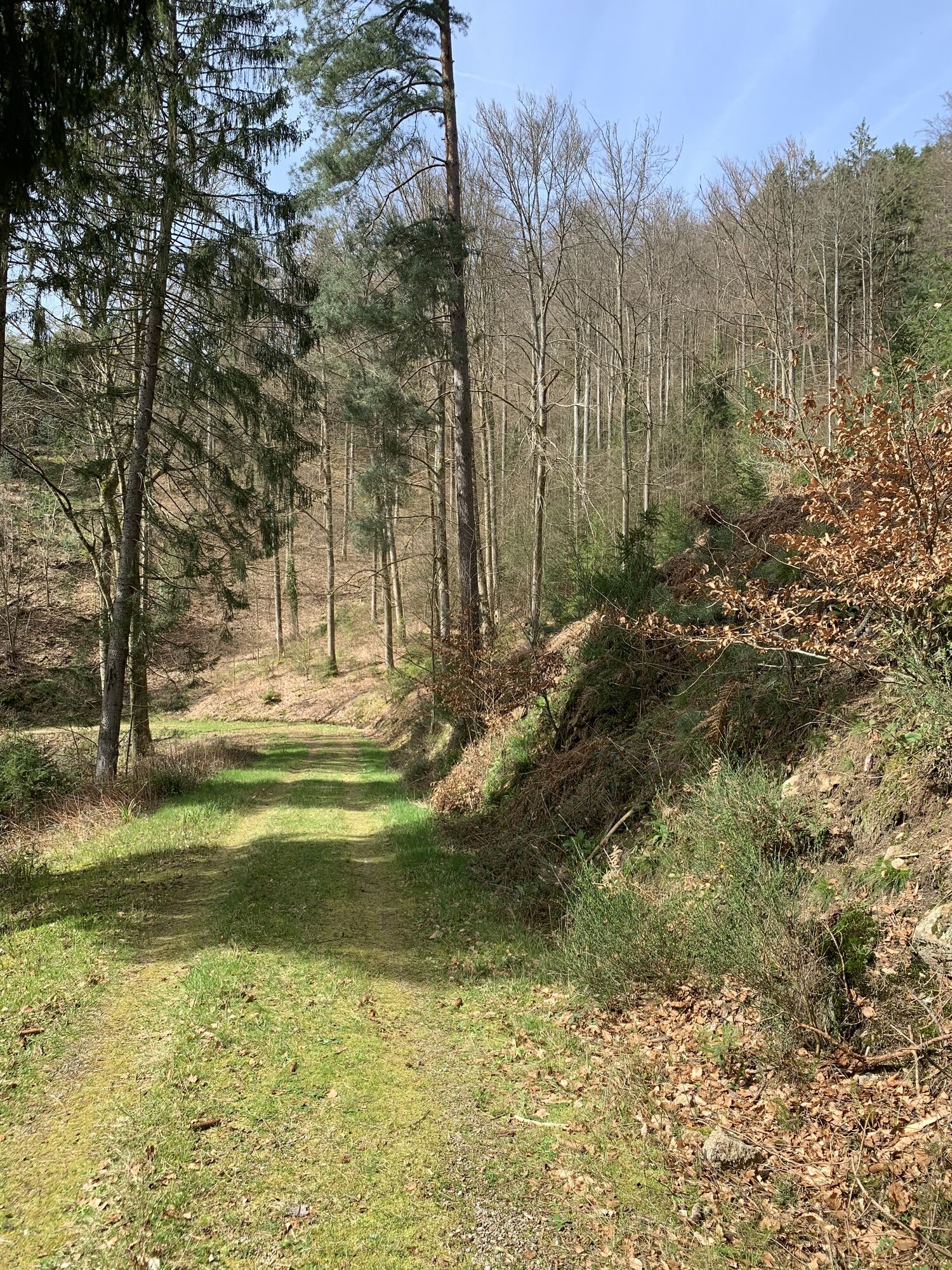
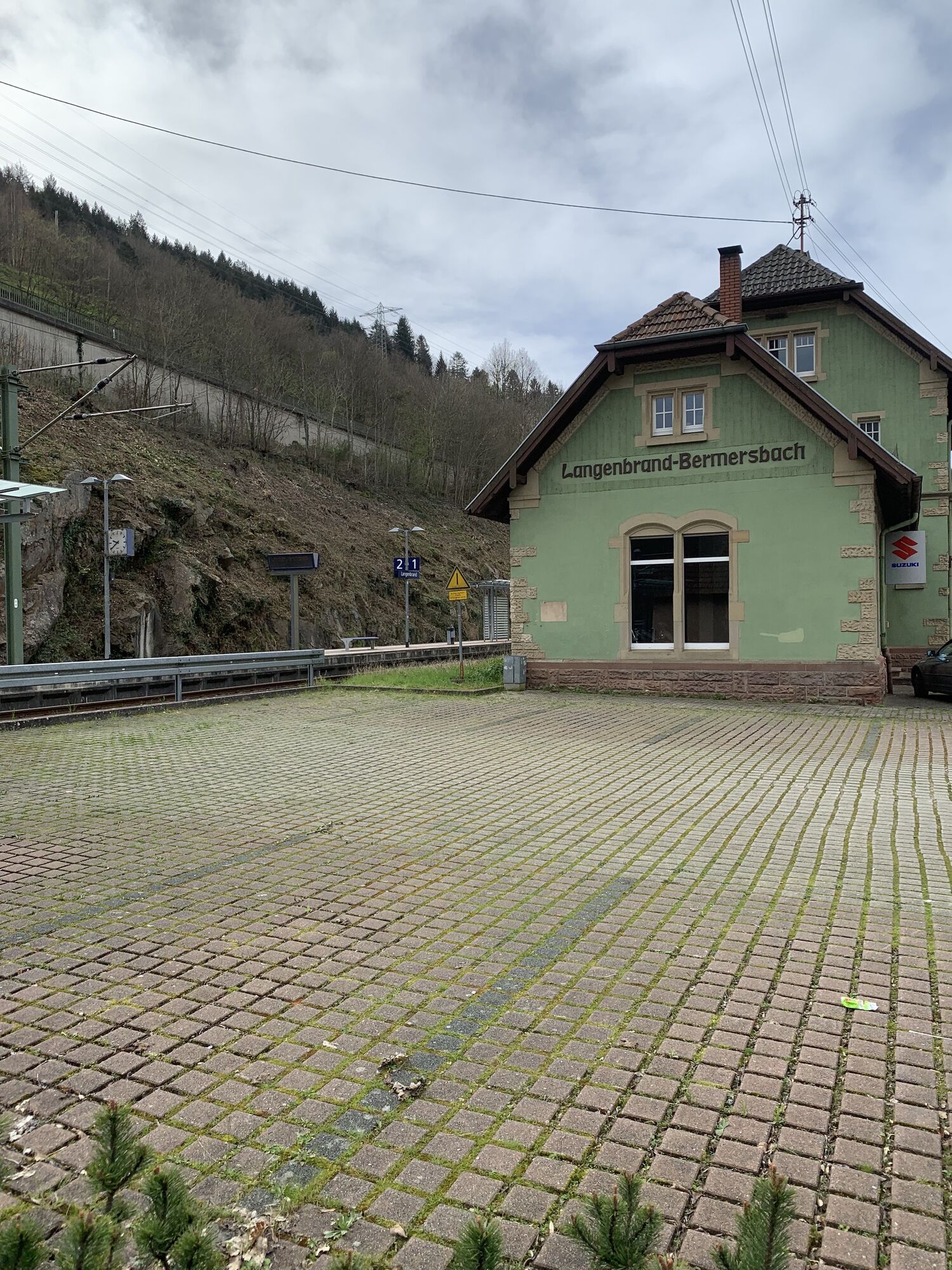


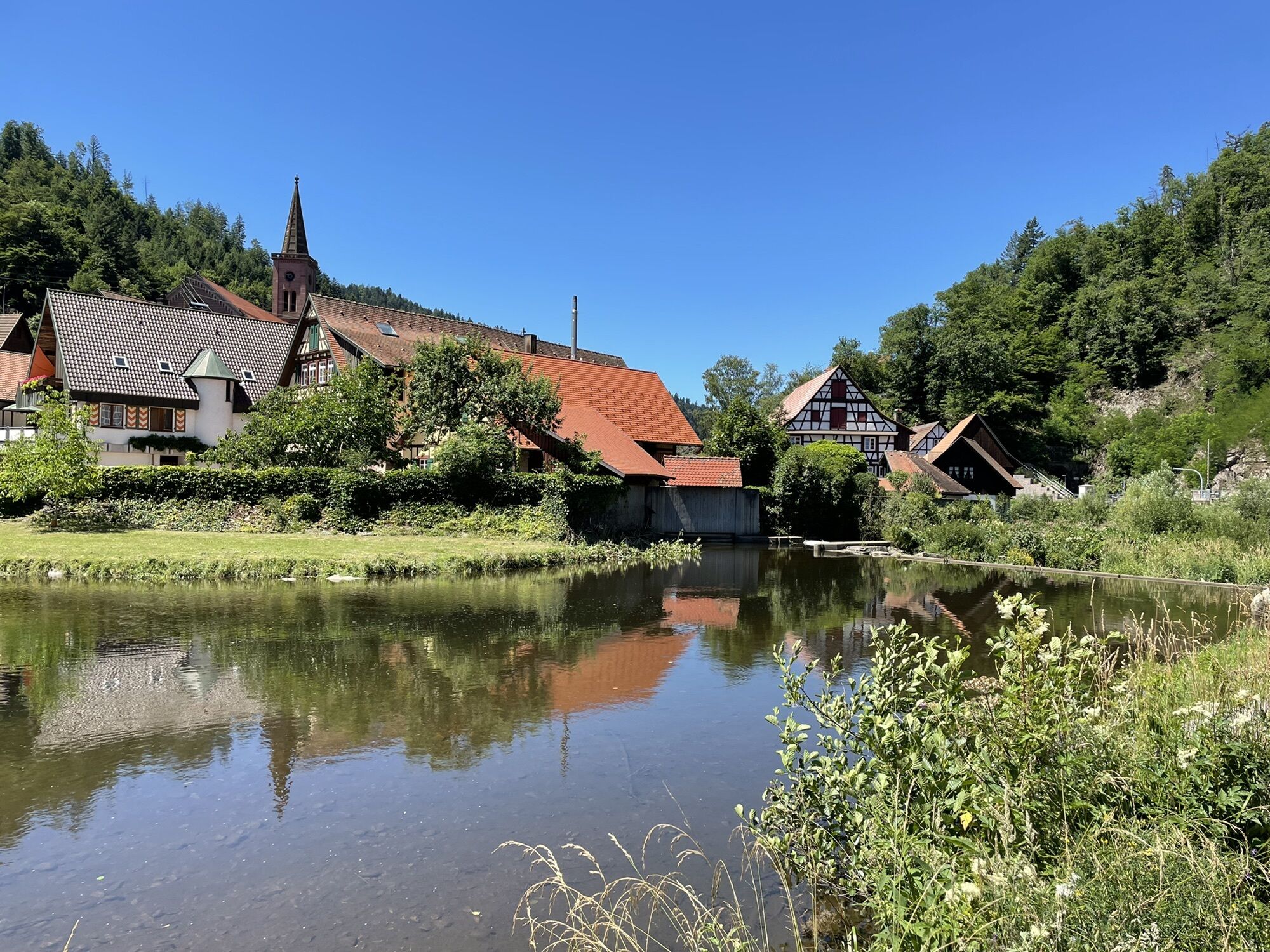
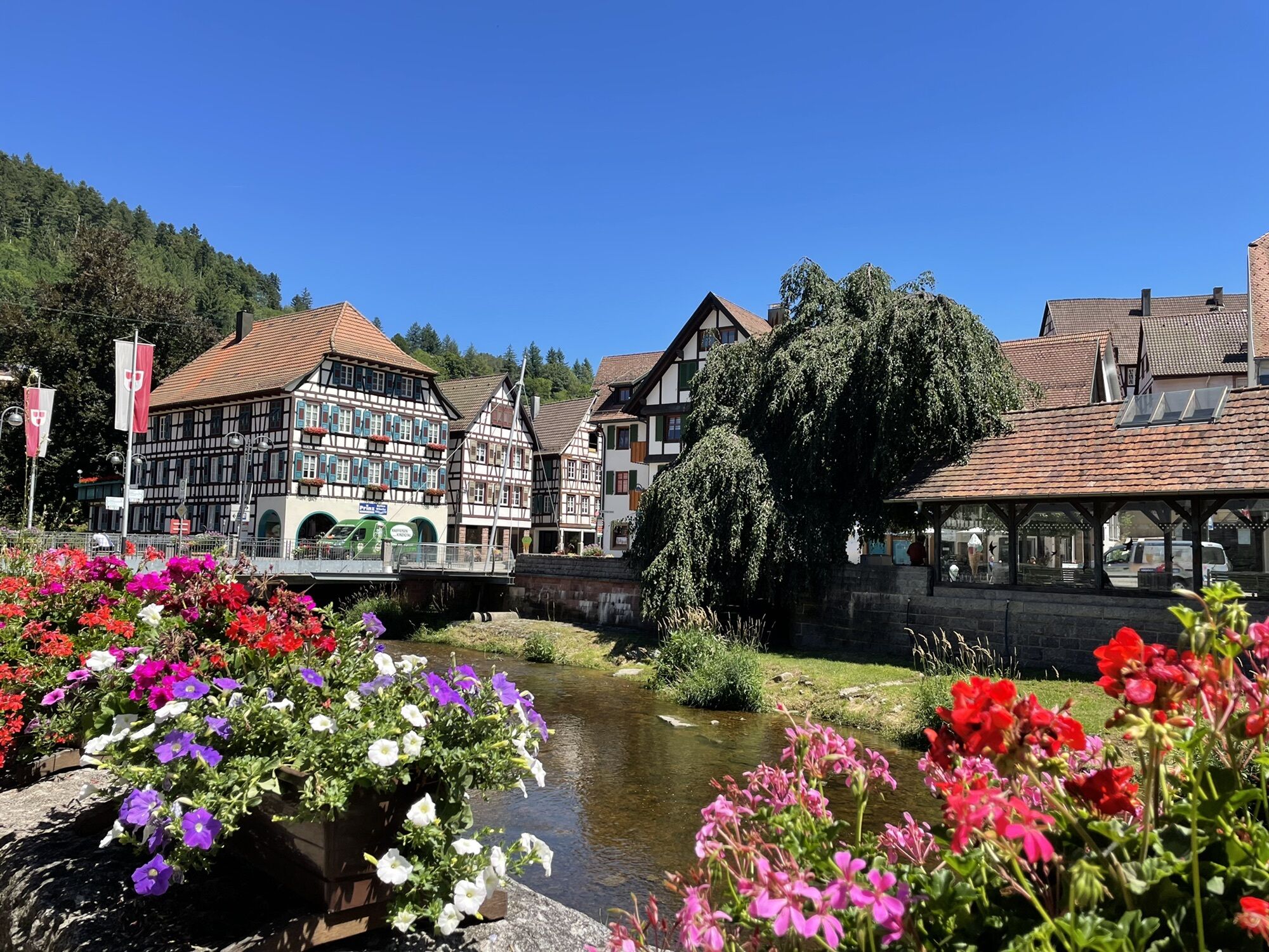
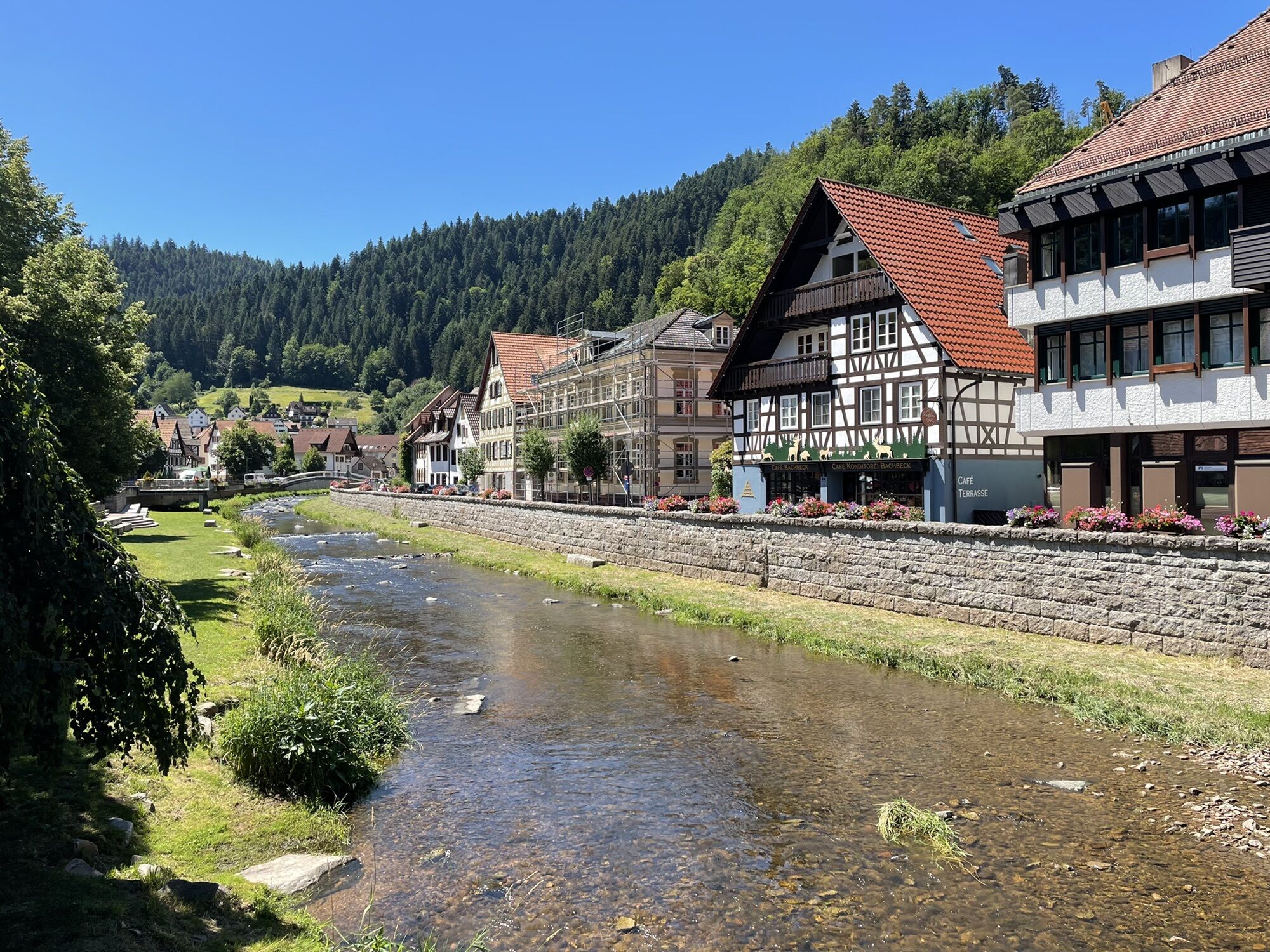
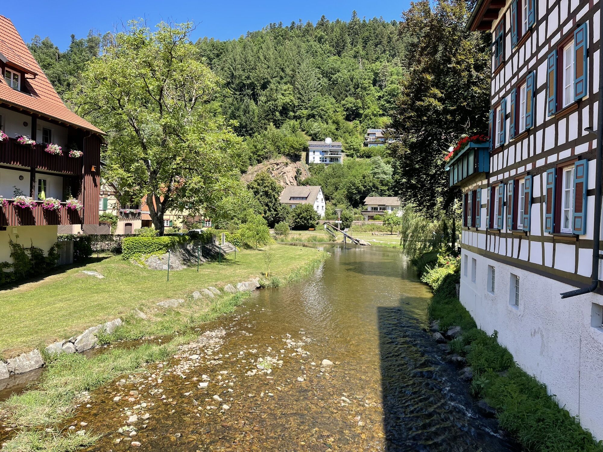

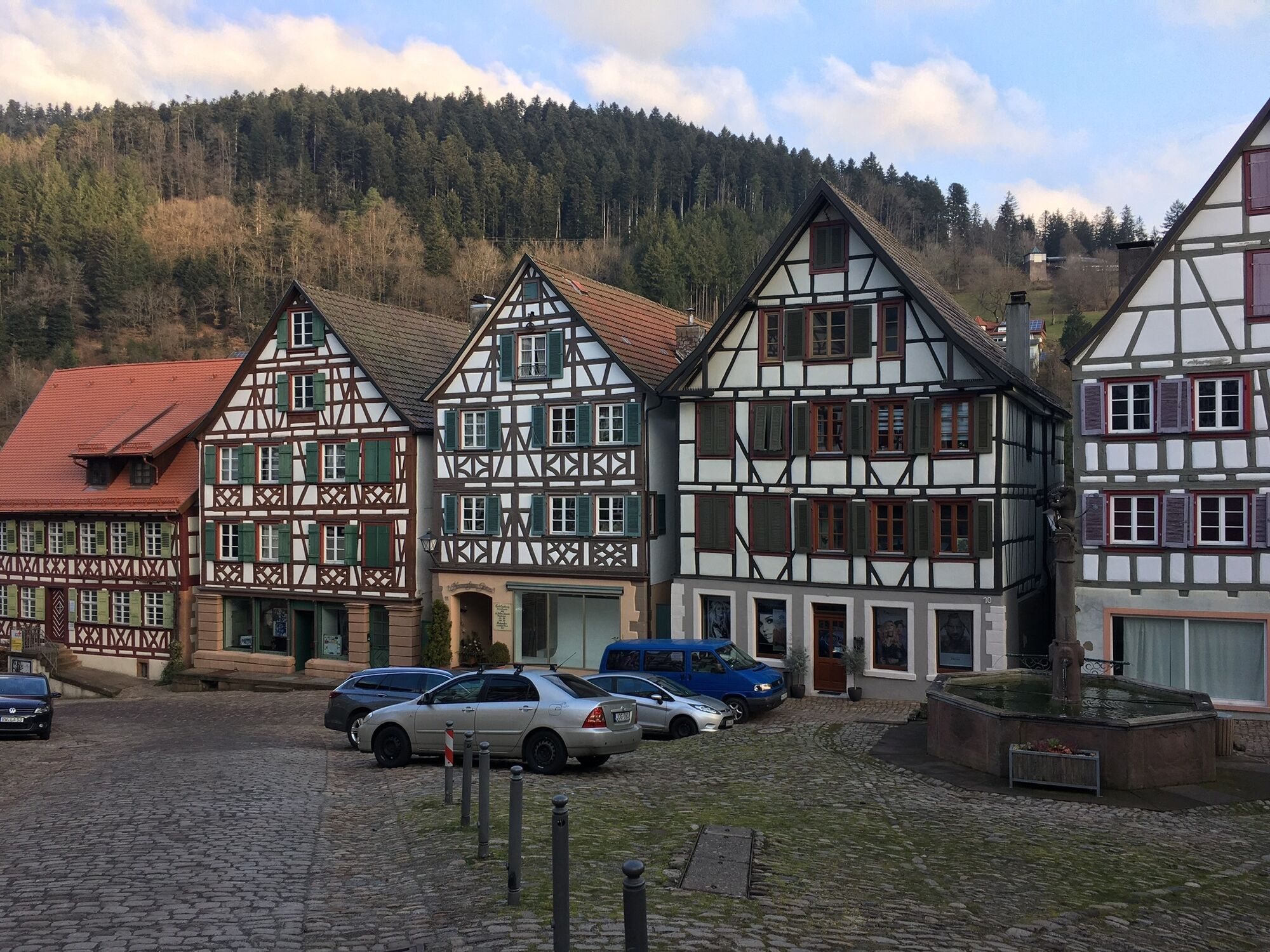
You can choose the start of the tour anywhere along the route itself. We start our tour in Klosterreichenbach, from there you ride along the Tour de Murg through the beautiful Murg valley to Hörden. From...
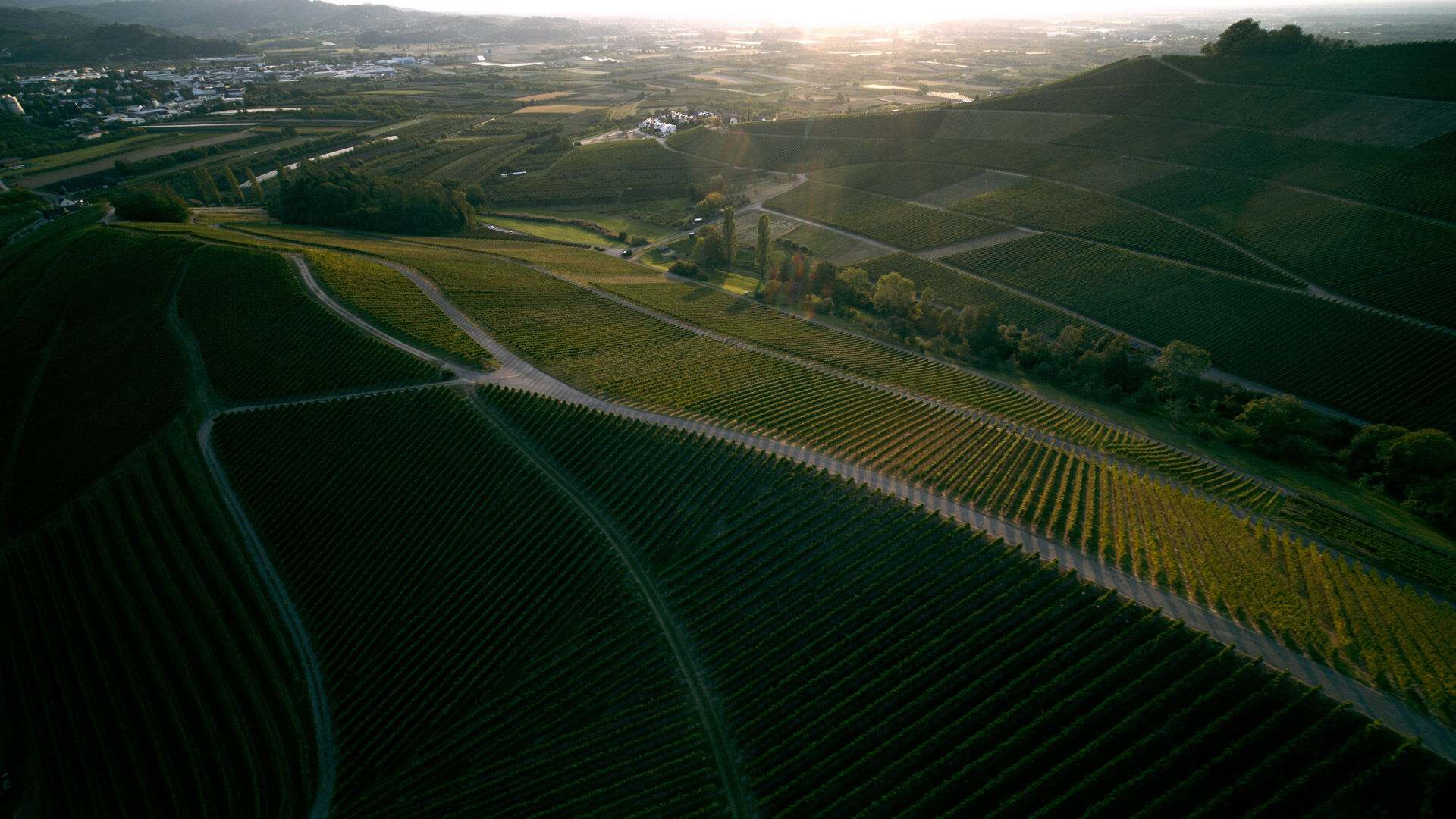
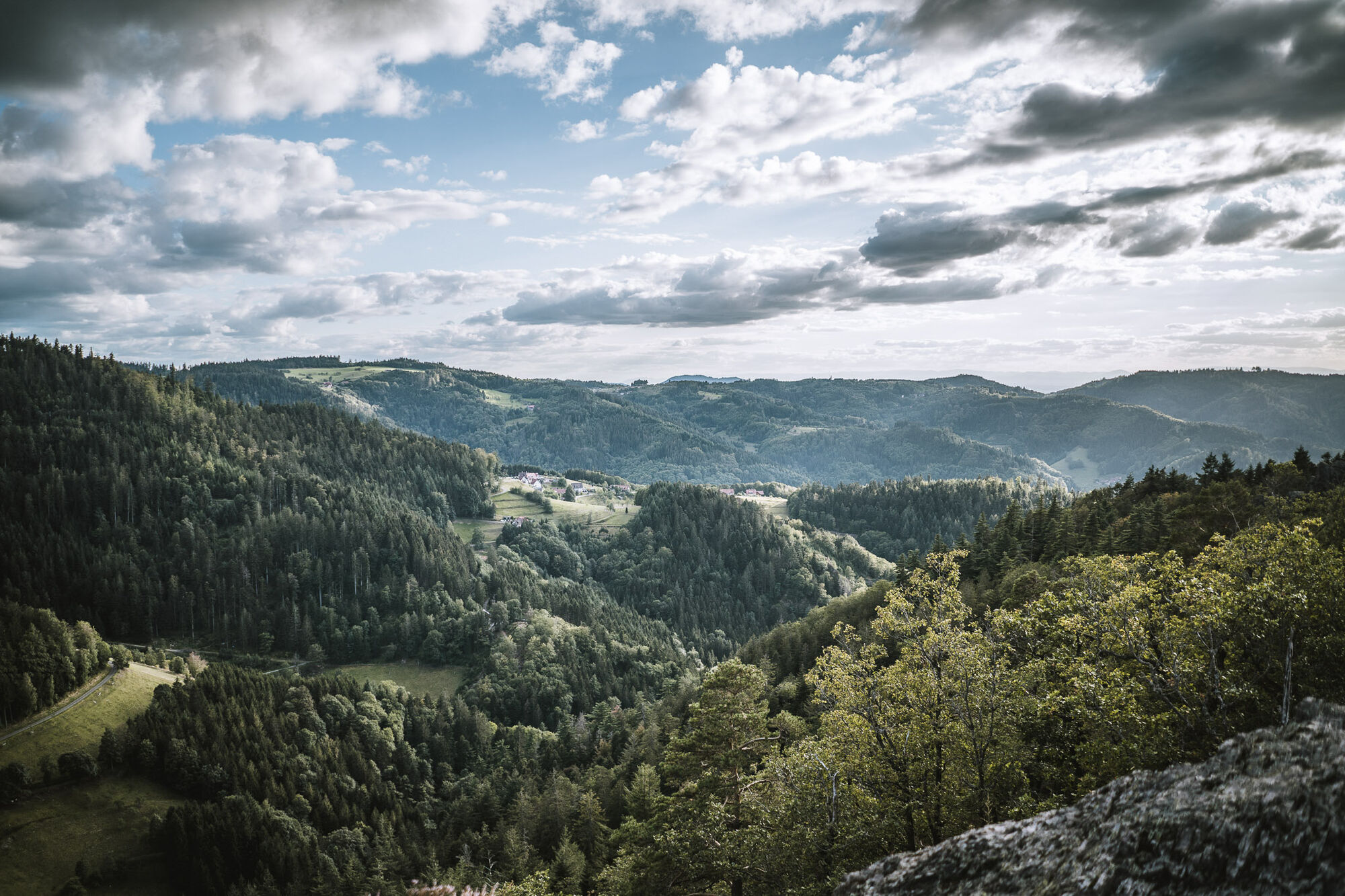
You can choose the start of the tour anywhere along the route itself. We start our tour in Klosterreichenbach, from there you ride along the Tour de Murg through the beautiful Murg valley to Hörden. From Hörden it goes towards Baden-Baden, from there via Bühlertal, Ottersweier and Achern through the Baden side of the national park region to Oberkirch. From Oberkirch it goes via Oppenau and Bad Rippoldsau to Schiltach. Along the Kinzig valley you ride towards Freudenstadt.

Kamery internetowe z trasy
-
Baiersbronn
-
Skilift Ruhestein
-
Skilift Stokinger
-
Wanderhütte Sattelei
-
Seibelseckle Lift
-
Seibelseckle
-
Mummelsee
-
Mummelsee
-
Grindehütte Hornisgrinde
-
Bergstation Sommerrodelbahn Gutach
-
Unterstmatt
-
Grindehütte Hornisgrinde
-
Oberkirch - Ruine Schauenberg
-
Hotel Sonnenhof
-
Augustaplatz / Baden-Baden
-
Merkur - Baden-Baden
-
Seibelseckle - Bergstation
-
Rathausplatz Achern
-
Schiltach
-
Hausach
-
Hausach
-
Hausach
-
Hausach
-
Skilift Unterstmatt
-
Oppenau Ramsbach
-
HD Live Webcam Loßburg – Blick vom Kinzighaus im Schwarzwald
-
Skihang Kaltenbronn
-
Freudenstadt - Unteren Marktplatz
-
Freudenstadt - Obere Marktplatz
-
Lift - Hochkopfstub
Uzyskaj wgląd
Zawsze na żywo z ponad 9 500 kamer internetowych. bergfex Jako użytkownik Pro, możesz teraz zobaczyć odpowiednie kamery internetowe dla wielu wycieczek w aplikacji wycieczki od. Pozwala to na bezpośredni podgląd aktualnych warunków.
Popularne wycieczki w okolicy
-
4,7
Kniebiser Heimatpfad - Wandern mit Genuss
światłoWędrówka 9,07 km -
5,0
Ottenhöfen - Eichkopf - Karlsruher Grat
średniWędrówka 13,7 km -
3,9
Schnapsbrunnenweg 2
średniWędrówka 12,8 km -
4,0
Sankenbachwasserfälle und Glasmännlehütte am Stöckerkopf
średniWędrówka 12,8 km -
5,0
Naturgewalten-Tour
Wędrówka 15,6 km -
5,0
Bannwald-Tour
Wędrówka 13,3 km -
4,5
Schnapsbrunnenweg 1
światłoWędrówka 7,45 km -
4,8
Bad Peterstal-Griesbach - Himmelssteig für "Höhenverliebte"
ciężkiWędrówka 10,3 km -
4,5
Bad Rippoldsau - Cafe & Restaurant Zum Schlüssel - Klösterle - Burgbachwasserfall
średniWędrówka 11,2 km -
5,0
Kniebis-Sankenbachwasserfälle-Sankenbachsee
średniWędrówka 7,98 km

Wędrówki i tropienie


Nie przegap ofert i inspiracji na następne wakacje
Twój adres e-mail została dodana do listy mailingowej.





