






Baiersbronn E-Bike Tour 3 Obertal-Mitteltal-Guter Ellbach-B500-Zuflucht-Schliffkopf-Murgursprung-Buhlbach-Obertal
Poziom trudności: 2
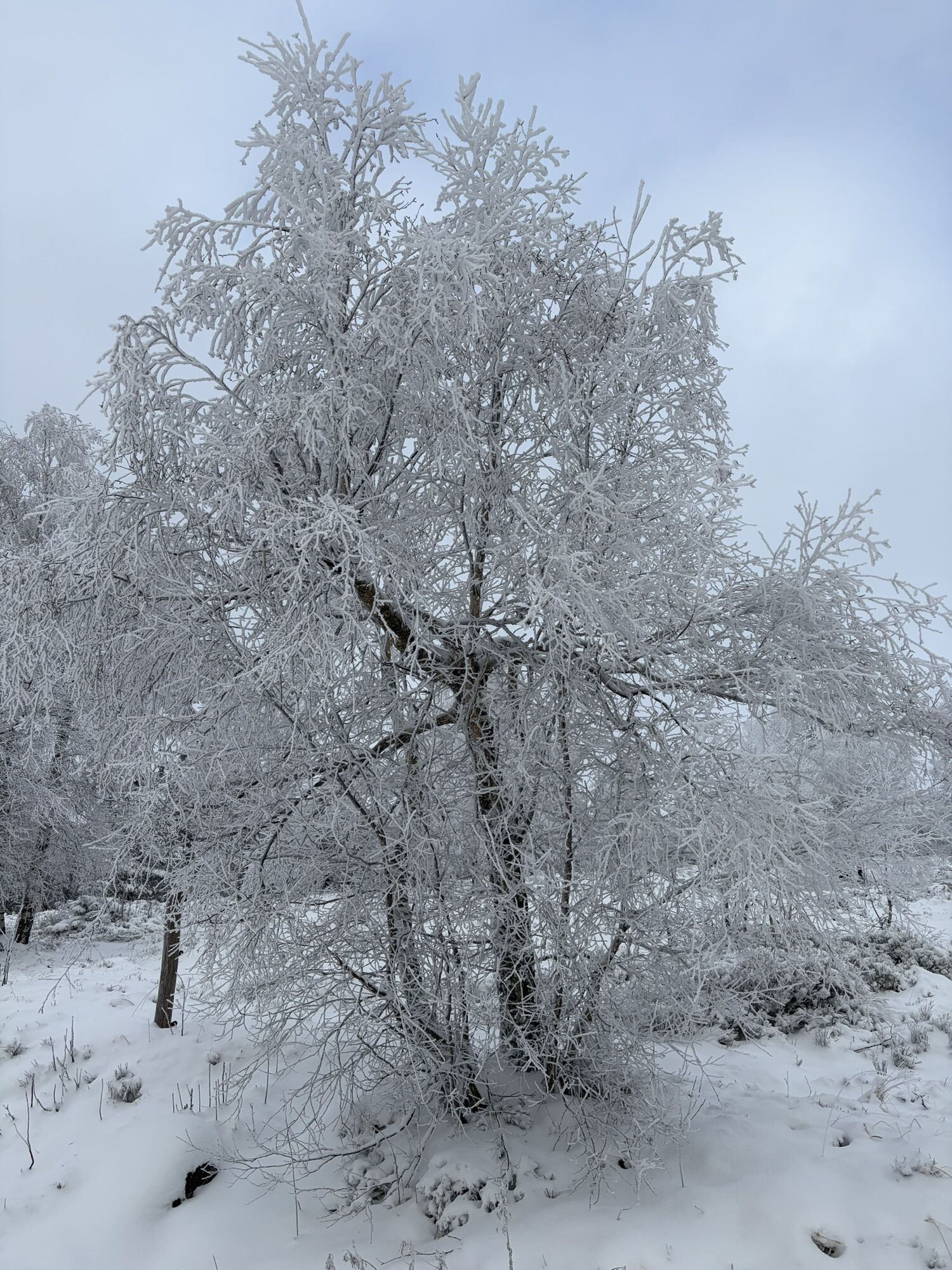
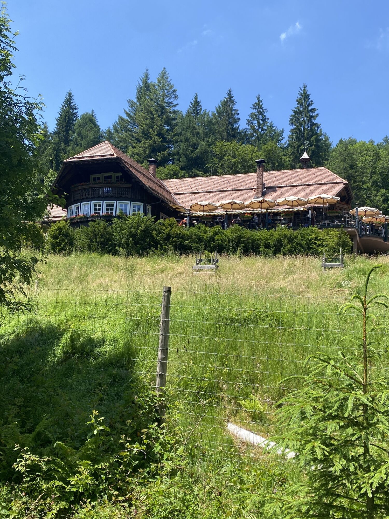
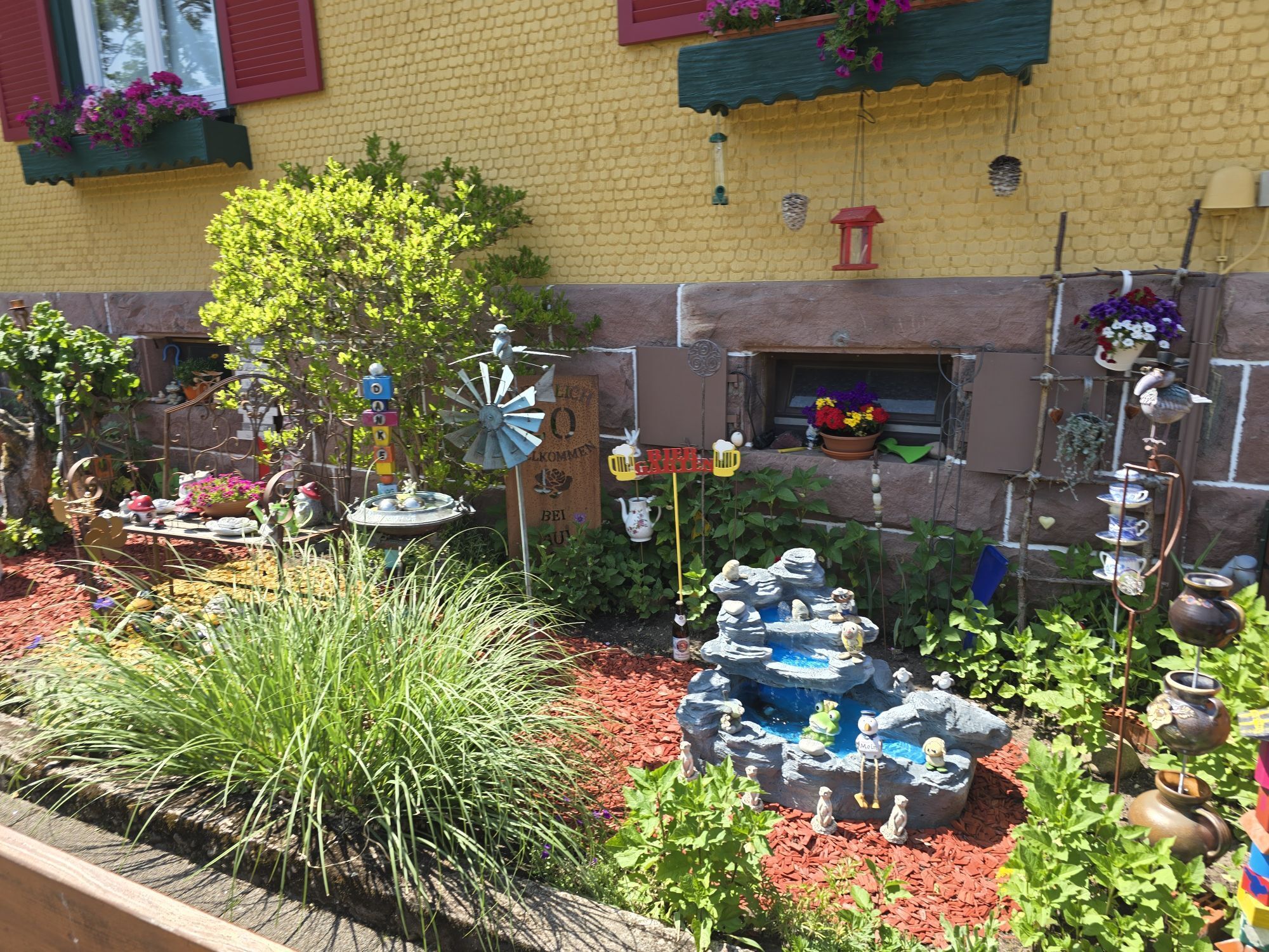
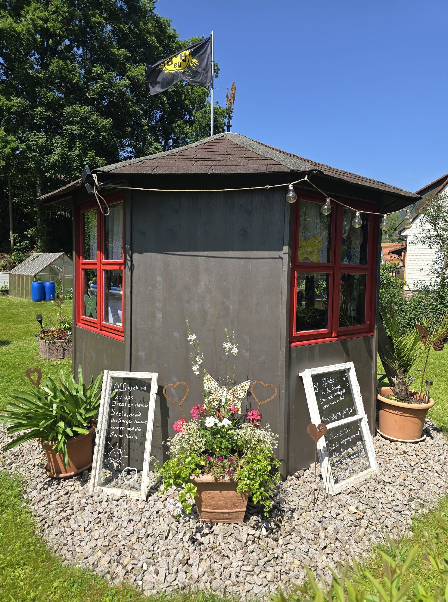

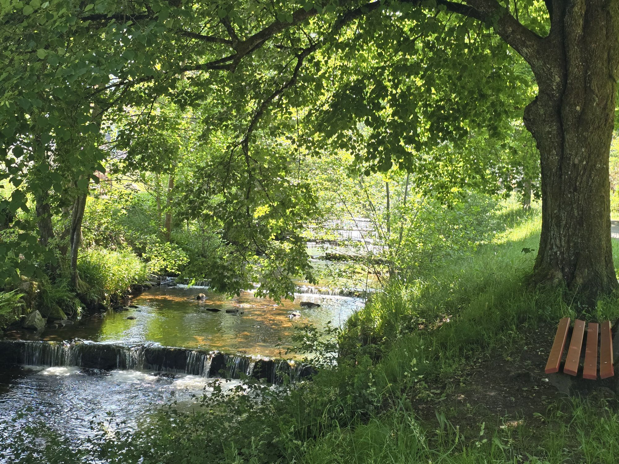
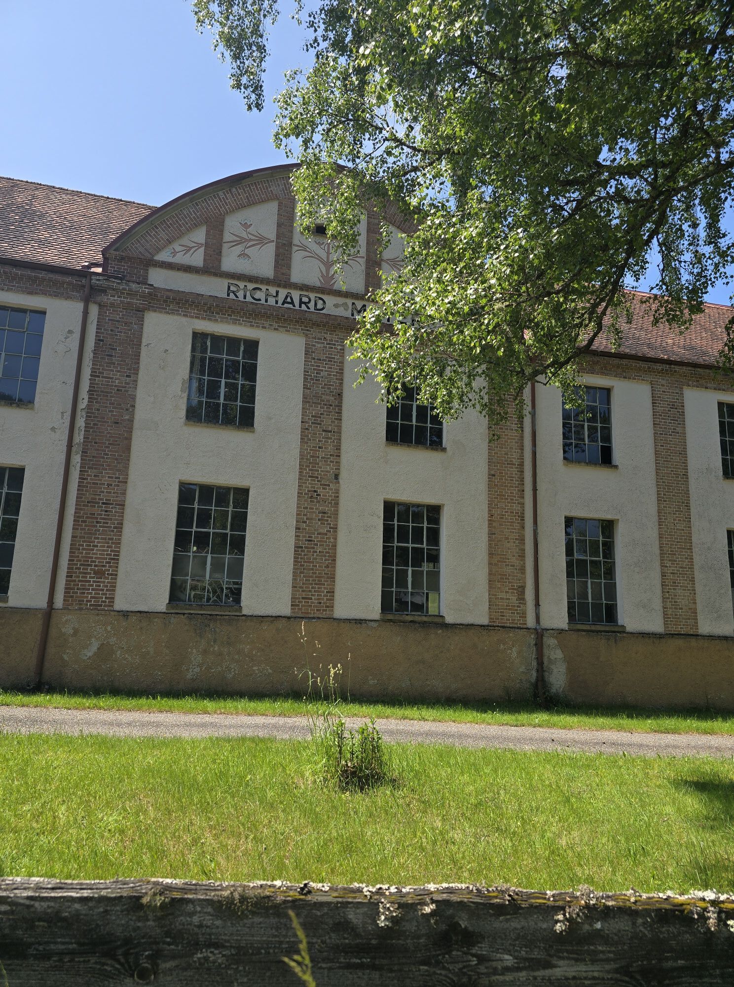
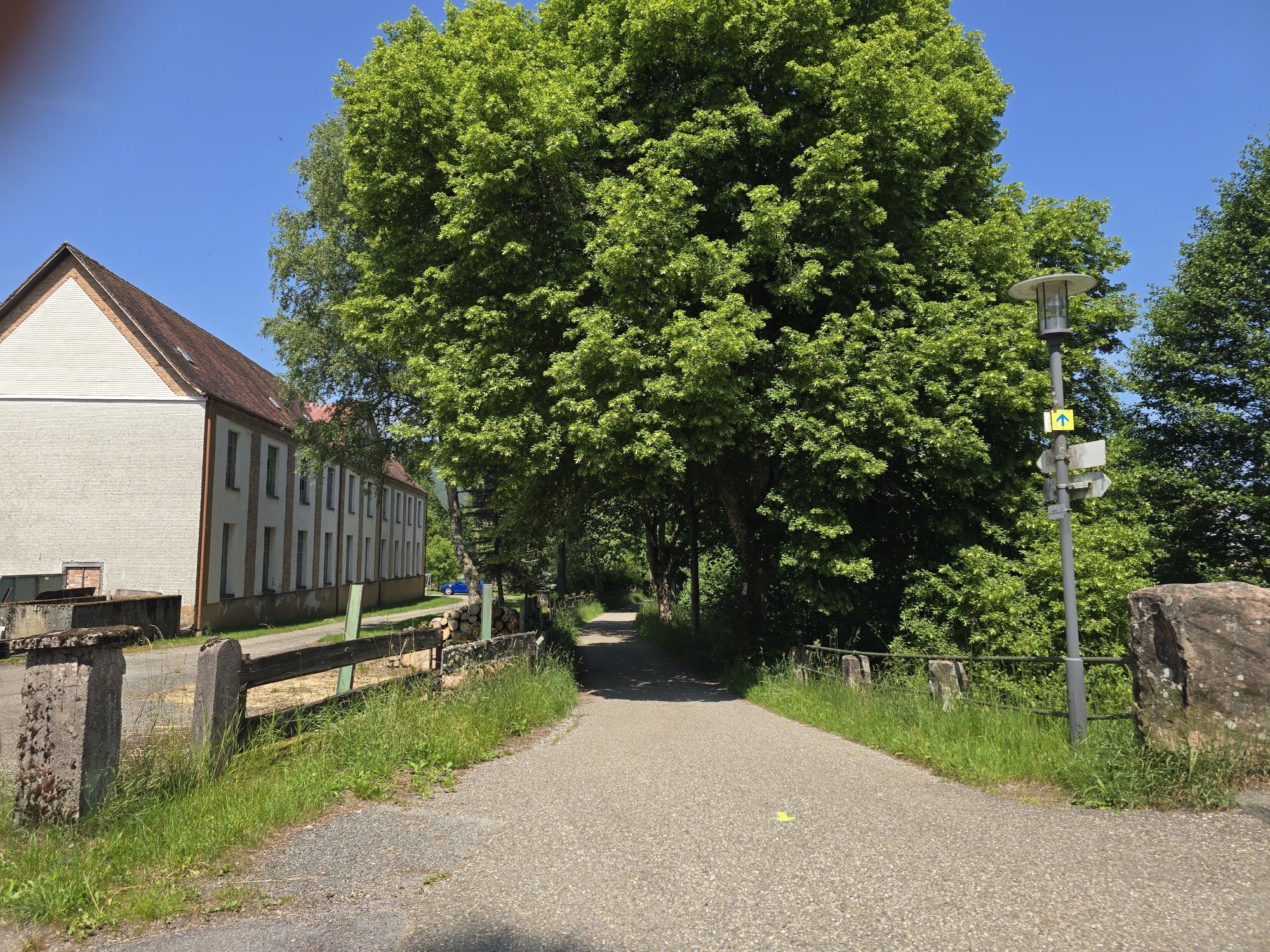
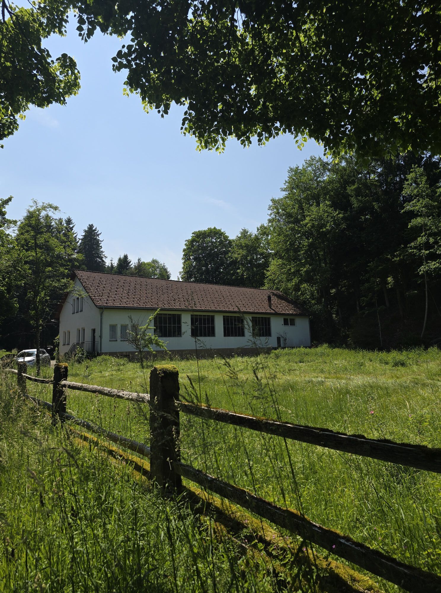
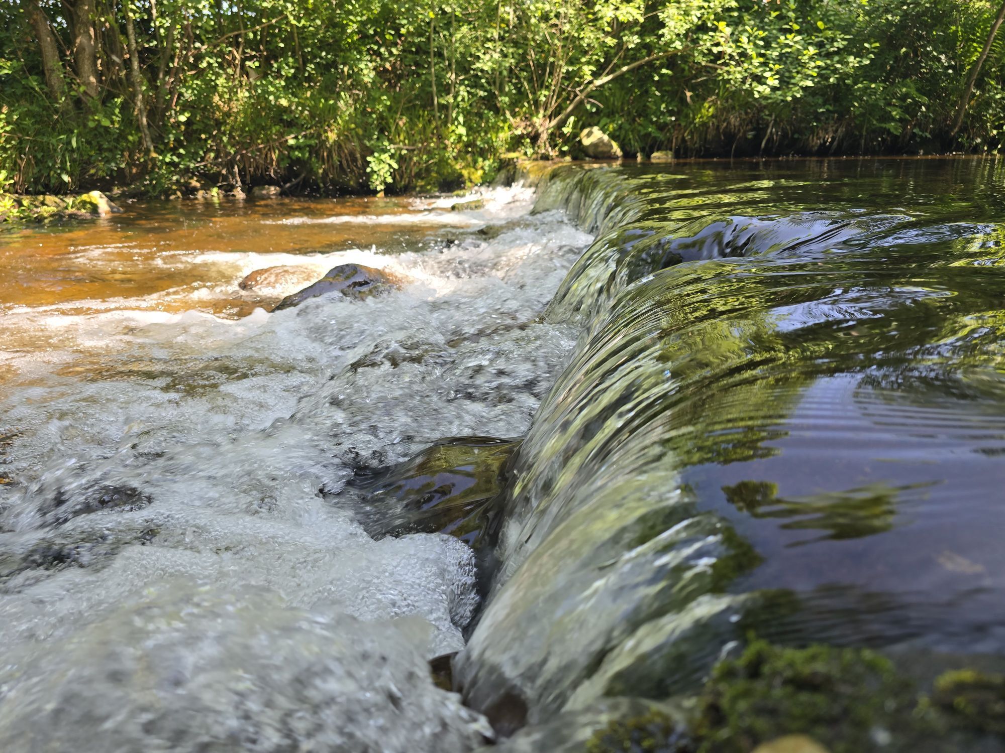
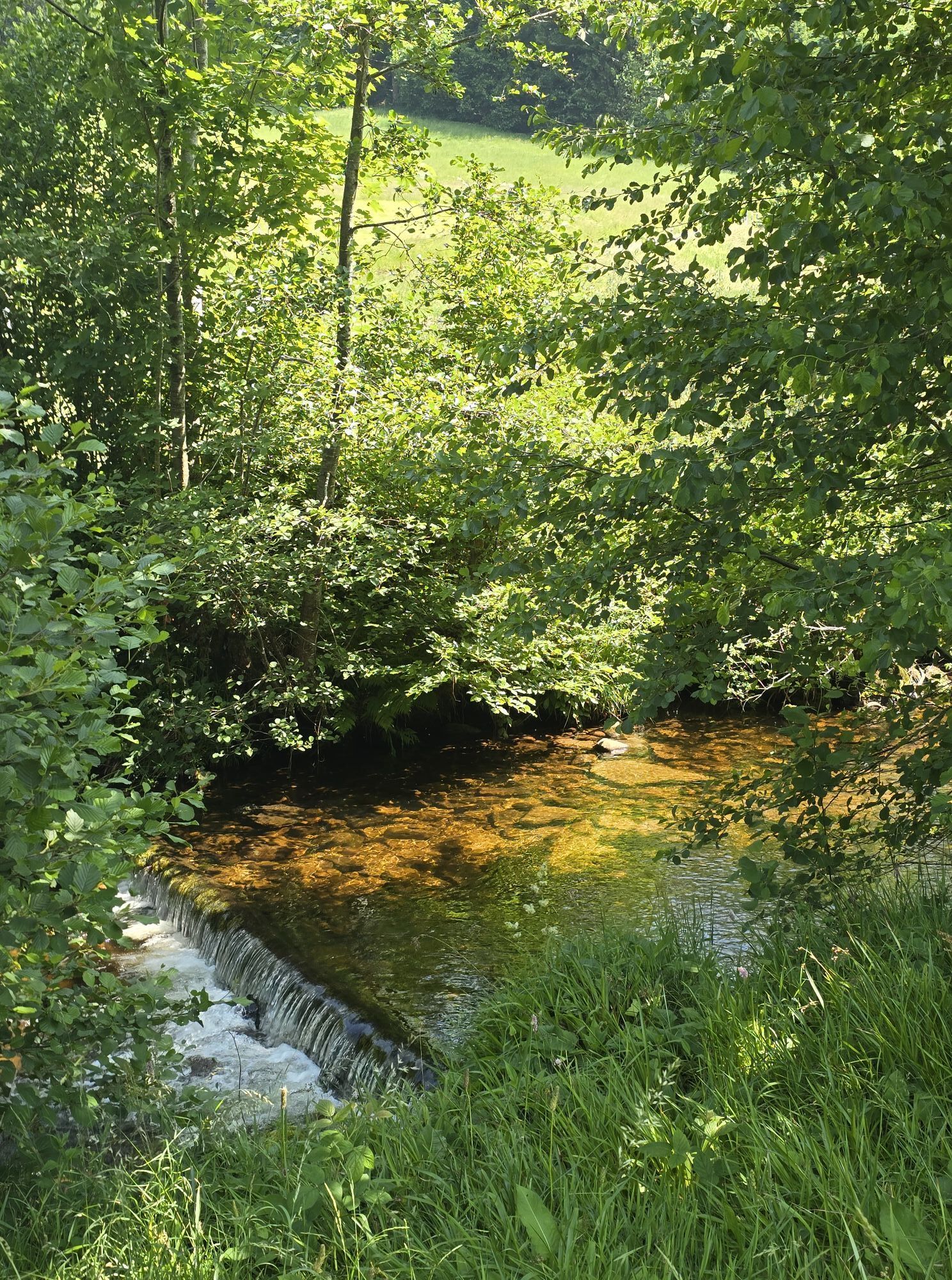
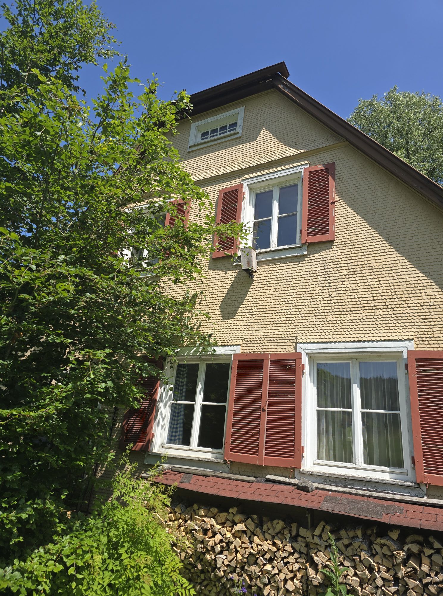
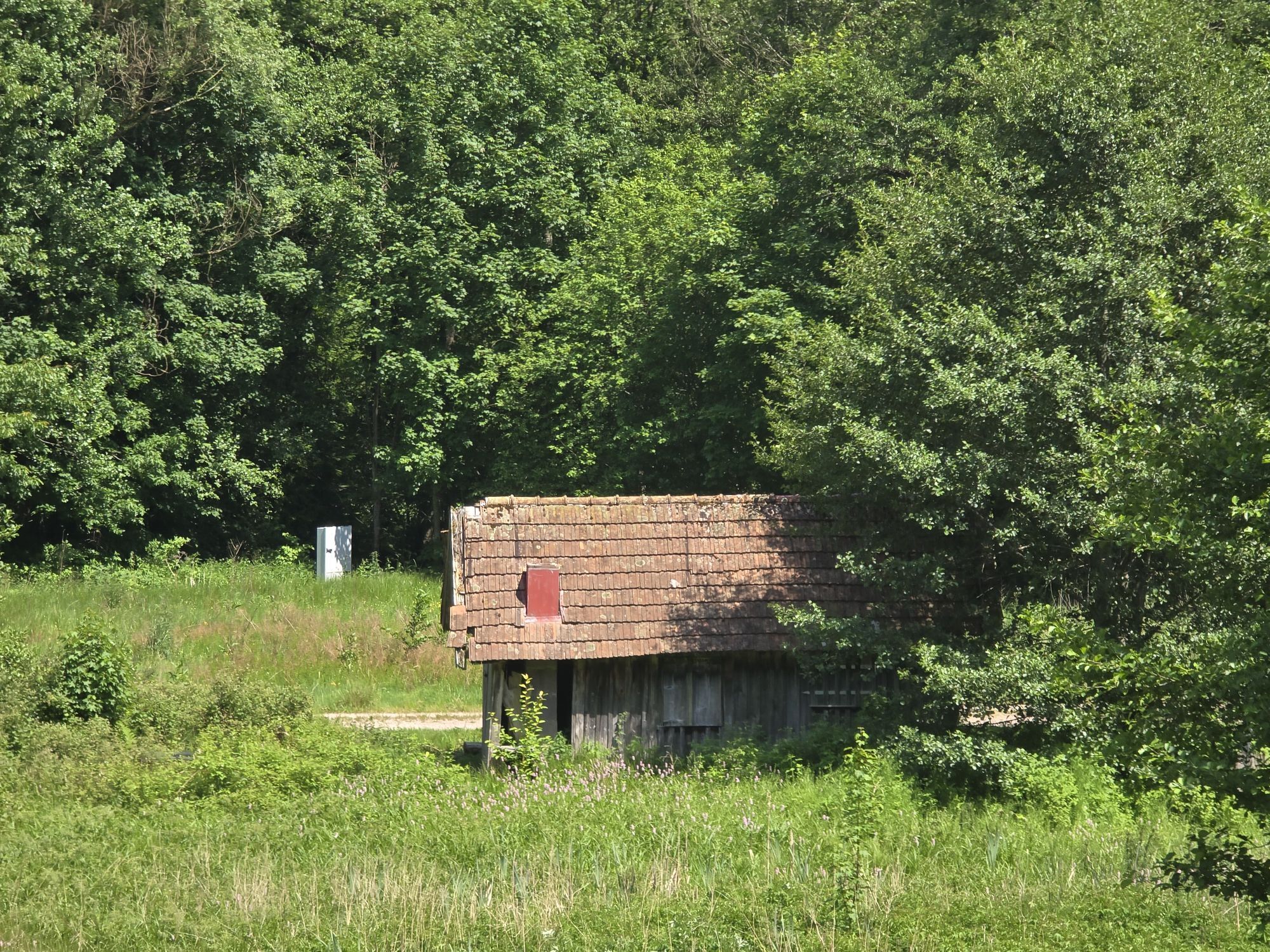

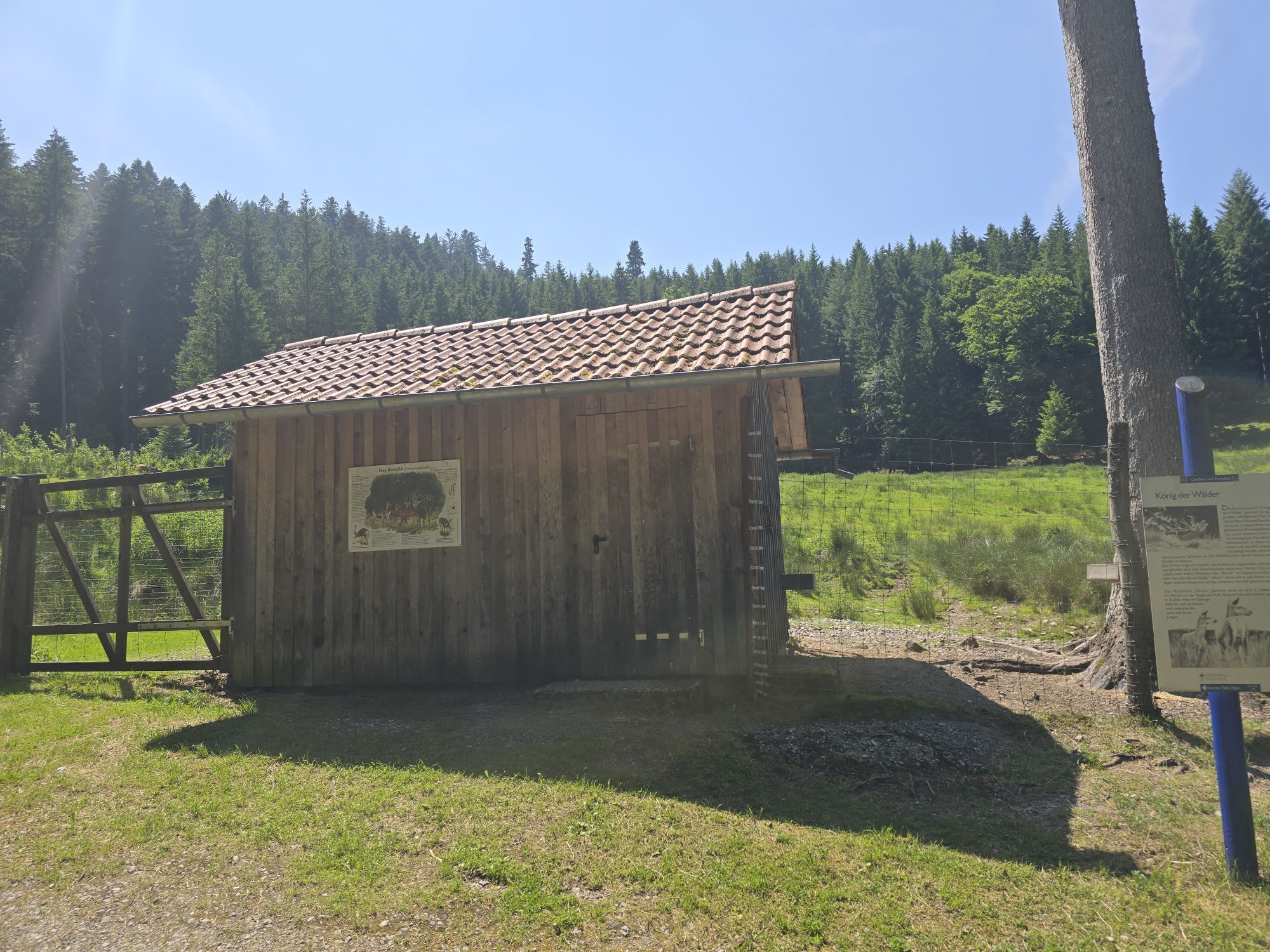


The start is at Obertal Tourism. Behind the Obertal Tourist Information, the yellow arrows start over the Murg and through the spa gardens with pond facilities. Always follow the yellow arrows on the Tour de Murg via Mühlgraben and Ahornweg to Mitteltal. The route now leads into the Ellbach valley on the Ahornweg via the wildlife enclosure up to the B500. Halfway along, you can make a detour to the Ellbachsee (approx. 1.5 km to the lake and back). At the top, you cross the B500 and from the Zimmerholz parking lot, follow the T9. The paved roads lead to the Zuflucht with refreshment facilities. After a short ride through the forest to the parking lot at the B500, enjoy a wonderful section with views of the Rhine valley, towards Feldberg and the Vosges, continuing to the Schliffkopf. Along the way, a short visit to the Lotharpfad is also worthwhile (can only be walked on foot). From the Zuflucht to the Schliffkopf, always follow the T9 via Haferrüttenrank, Schwabenrank, and Schliffkopf. About 1 km before Schliffkopf, a short stop at Schurkopf with a wonderful view and seating is recommended. At Schliffkopf, a short detour to the viewing platform at Steinmäuerle is also recommended, and another refreshment stop is available at the Hotel Schliffkopf. From here, the route descends continuously via the Murgursprung to Obertal on a paved path. Shortly before the finish, a visit to the Glashütte Cultural Park is recommended (opening hours Wednesday to Sunday from 11:00 a.m. to 5:00 p.m. from May to the end of October, guided tours always at 2:30 p.m.)
Tak
Tak
2
Ellbach wildlife enclosure with playground - Hotel Zuflucht with refreshment options - wonderful views on the Westweg - Lotharpfad - Viewing platform at Steinmäuerle - Hotel Schliffkopf with refreshment options - Murgursprung - Glashütte Cultural Park - Obertal with guided tours
Uzyskaj wgląd
Zawsze na żywo z ponad 9 500 kamer internetowych. bergfex Jako użytkownik Pro, możesz teraz zobaczyć odpowiednie kamery internetowe dla wielu wycieczek w aplikacji wycieczki od. Pozwala to na bezpośredni podgląd aktualnych warunków.
Popularne wycieczki w okolicy
-
3,9
Schnapsbrunnenweg 2
średniWędrówka 12,8 km -
4,9
Ottenhöfen - Eichkopf - Karlsruher Grat
średniWędrówka 13,7 km -
4,7
Kniebiser Heimatpfad - Wandern mit Genuss
światłoWędrówka 9,07 km -
4,2
Sankenbachwasserfälle und Glasmännlehütte am Stöckerkopf
średniWędrówka 12,8 km -
4,5
Naturgewalten-Tour
Wędrówka 15,6 km -
5,0
Bannwald-Tour
Wędrówka 13,3 km -
4,8
Bad Peterstal-Griesbach - Himmelssteig für "Höhenverliebte"
ciężkiWędrówka 10,3 km -
4,6
Bad Rippoldsau - Cafe & Restaurant Zum Schlüssel - Klösterle - Burgbachwasserfall
średniWędrówka 11,2 km -
5,0
Kniebis-Sankenbachwasserfälle-Sankenbachsee
średniWędrówka 7,98 km -
4,8
Ottenhöfen - Mühlenweg
średniWędrówka 13,4 km
Wędrówki i tropienie


Nie przegap ofert i inspiracji na następne wakacje
Twój adres e-mail została dodana do listy mailingowej.





