







Hornberg - Around the Immelsbacher Höhe
On forest paths, the sporty route leads a short stretch along the nature trail up to the height at the Windeckfelsen. Passing the Immelsbacher Höhe and over the Berta spring, above the Rubersbach, you...
On forest paths, the sporty route leads a short stretch along the nature trail up to the height at the Windeckfelsen. Passing the Immelsbacher Höhe and over the Berta spring, above the Rubersbach, you pass several viewpoints on the way back to the starting point.

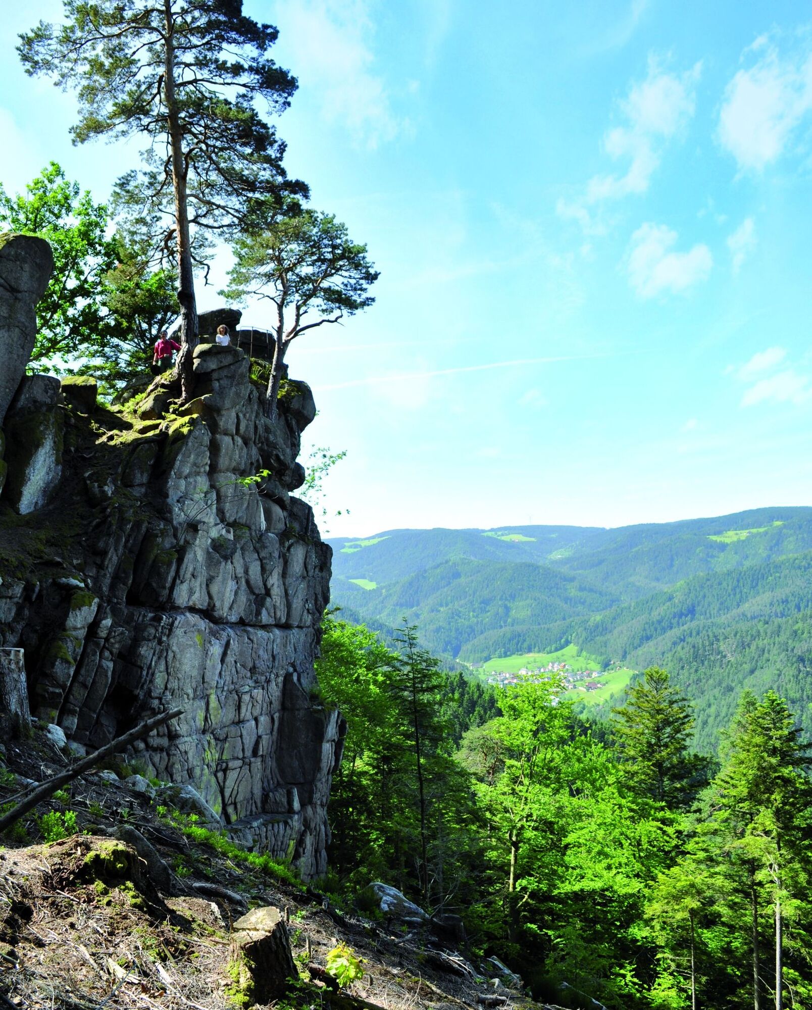
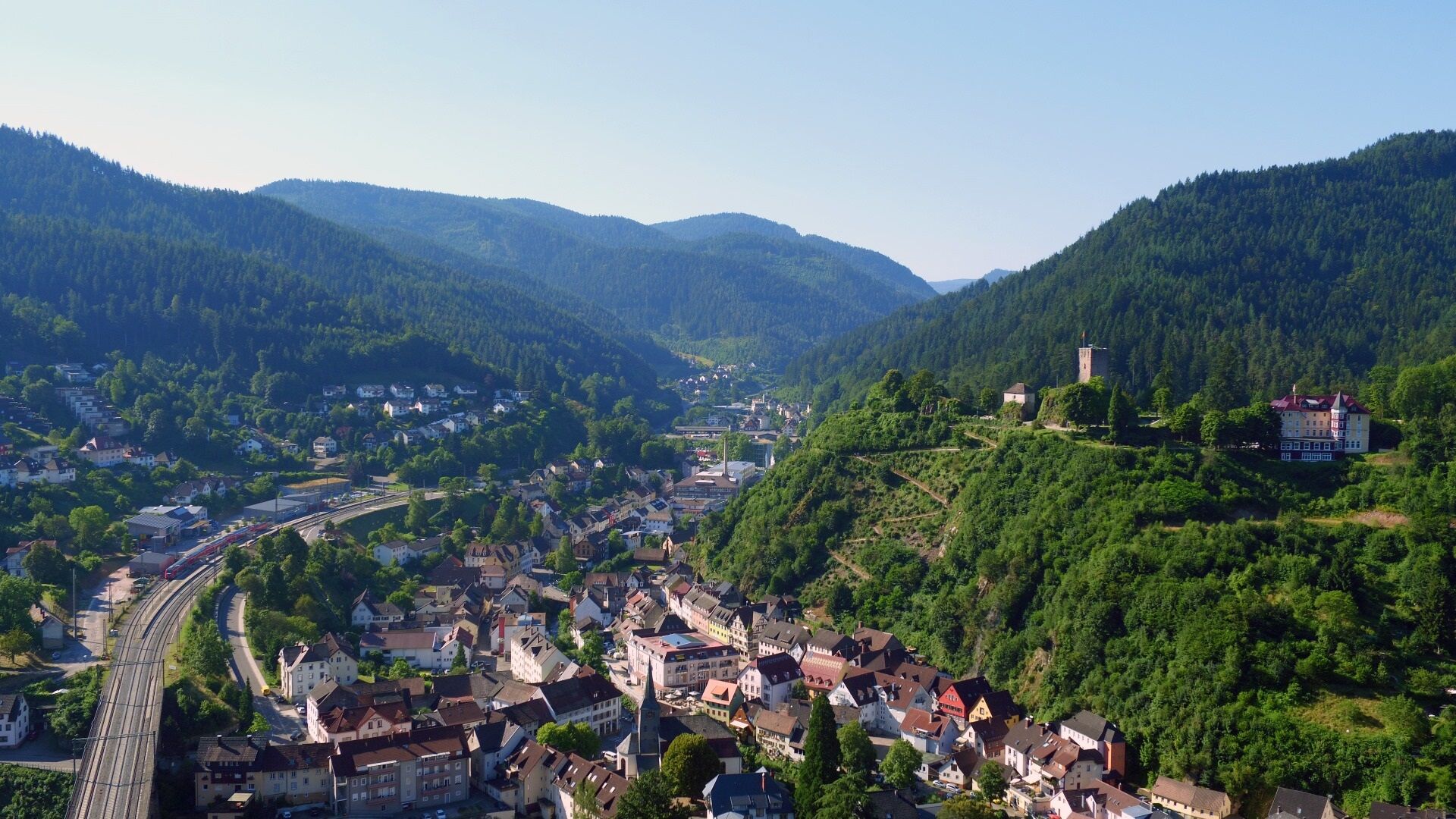
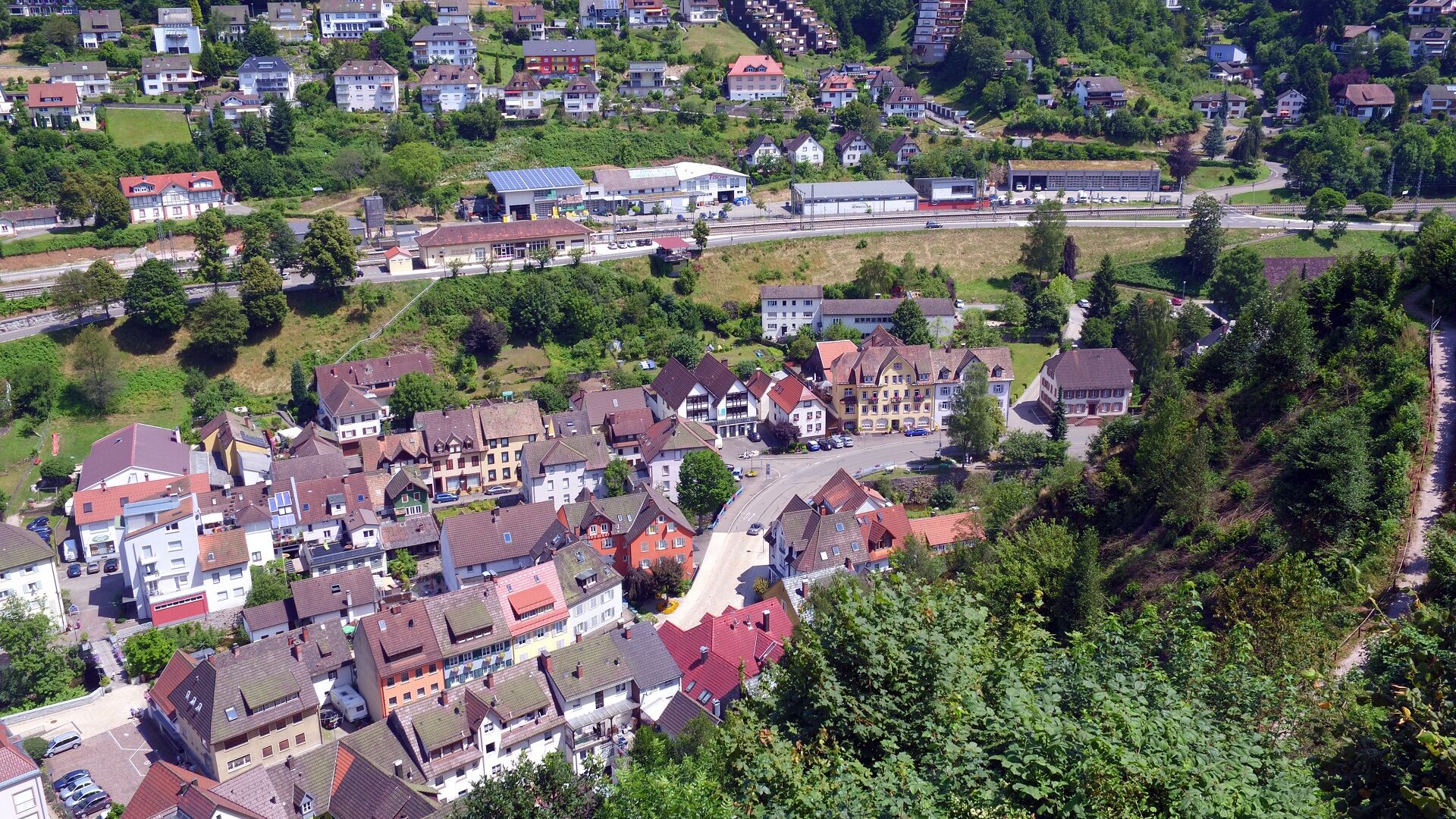
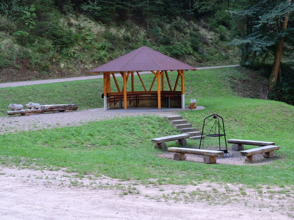
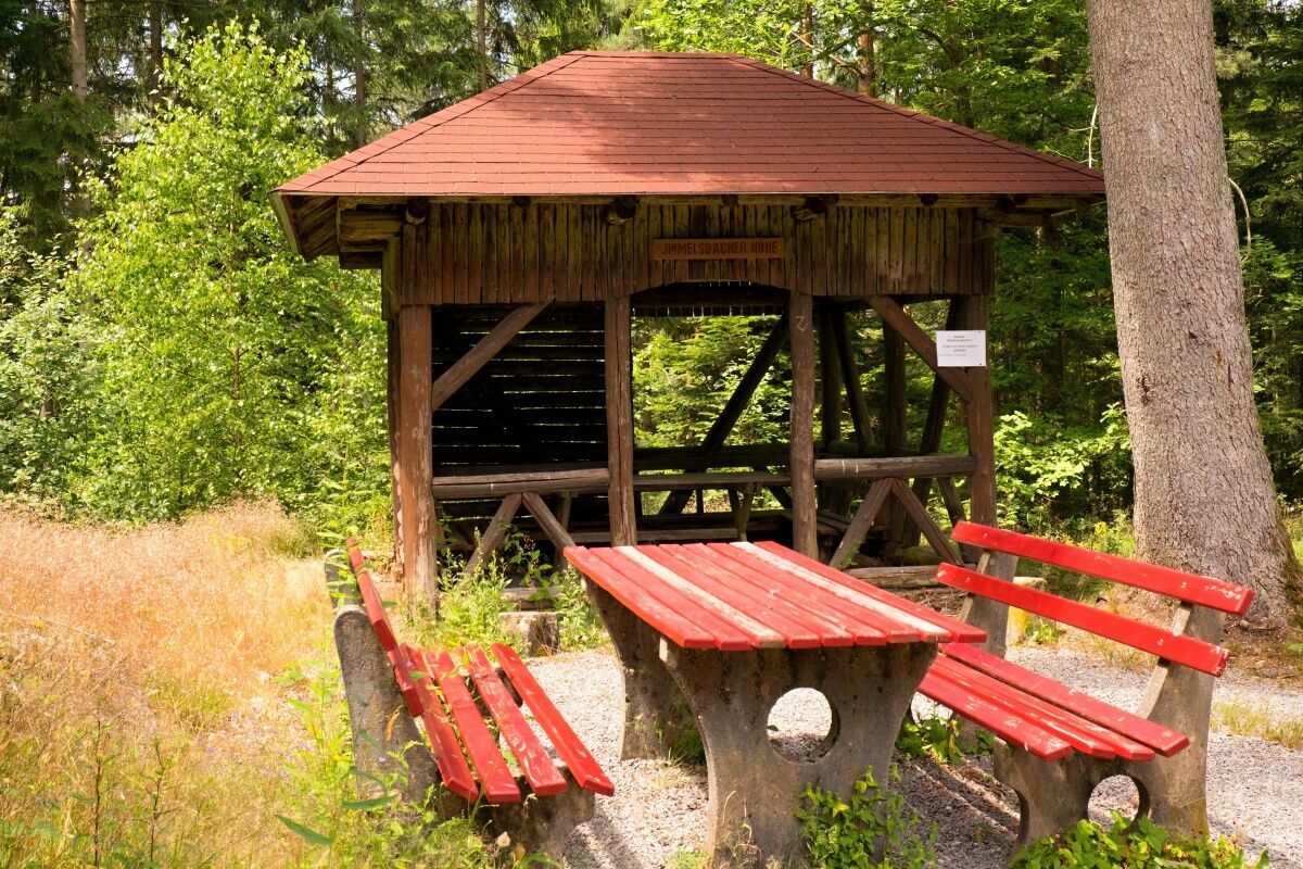

Starting at Gesundbrunnen, we keep left on the wide wood haulage path until we reach a narrow hiking trail (the nature trail). We follow this until the next junction, which we cross, then immediately leave the opposite path to the right after the crossing.
We then leave this path at the next possible opportunity to the right. Then we follow the encountered path, ignoring the first left fork, the second and third right forks, and follow the path back to the starting point.
Tak
Especially in the winter months, the paths can be icy or snowy.
From the north: Before the tunnel, turn left to Hornberg. In the town center, turn right at the town hall. Before the viaduct, turn right again to the railroad crossing. Cross the tracks into Franz-Schiele-Straße. After a sharp right curve, turn left at the next possible street to the Gesundbrunnen hiking car park.
Hornberg train station - approx. 30 minutes on foot away.
At the Gesundbrunnen hiking car park.
Tourist Information Hornberg
Bahnhofstr. 1-3
78132 Hornberg
Tel. 0 78 33 / 793 44
Fax. 0 78 33 / 793 29
tourist-info@hornberg.de
www.hornberg.de
Uzyskaj wgląd Zawsze na żywo z ponad 9 500 kamer internetowych. bergfex Jako użytkownik Pro, możesz teraz zobaczyć odpowiednie kamery internetowe dla wielu wycieczek w aplikacji wycieczki od. Pozwala to na bezpośredni podgląd aktualnych warunków. Popularne wycieczki w okolicy
- 4,8
Ortenau legend circular routes: Devil's Pulpit
średniWędrówka 10,2 km - 4,0
Triberger Wasserfälle naar Prizen
średniWędrówka 11,5 km - 4,3
Paradiessteig Hofstetten
średniWędrówka 12,8 km - 4,8
AugenBlick-Runde Lauterbach Güntersberg
światłoWędrówka 10,2 km - 4,5
Genießerpfad - U(h)rwaldpfad Rohrhardsberg
średniTrasa tematyczna 8,72 km - 3,0
Lauterbach High Valley Circuit in the hiking paradise Alb - Black Forest
światłoWędrówka 10,7 km - 4,7
Waldsee circular route to the Urenkopf tower
średniWędrówka 7,30 km - 4,0
Circular hike on the Black Forest Railway Experience Trail
średniWędrówka 6,56 km - 4,0
Over the Blindensee lake to Wilhelmshöhe
średniWędrówka 16,0 km - 5,0
Wolfach settlers' loop large round
średniWędrówka 9,04 km
Wędrówki i tropienie


Nie przegap ofert i inspiracji na następne wakacje
Twój adres e-mail została dodana do listy mailingowej.





