


Baiersbronn T1 Stöckerkopf tour - shortcut 1 Stöckerkopf
Poziom trudności: S2
Well-suited evening tour with longer climbs, some trails, panorama and nature enjoyment. Passing the Sankenbachsee, the route leads up to the heights. A few trails lead downhill into the Ellbach valley...
Well-suited evening tour with longer climbs, some trails, panorama and nature enjoyment. Passing the Sankenbachsee, the route leads up to the heights. A few trails lead downhill into the Ellbach valley and back to Baiersbronn.


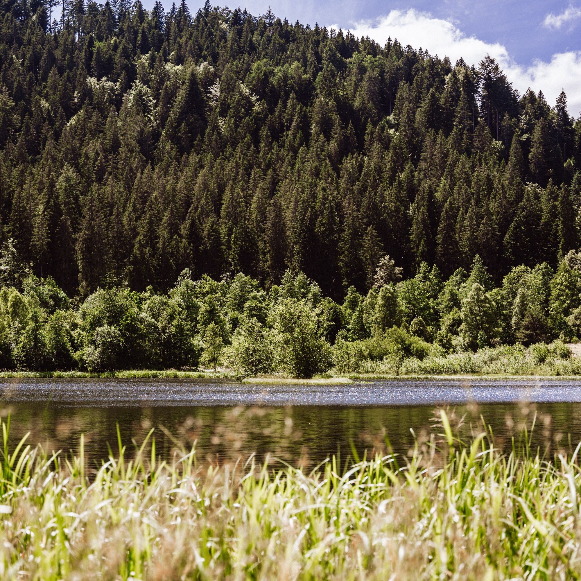
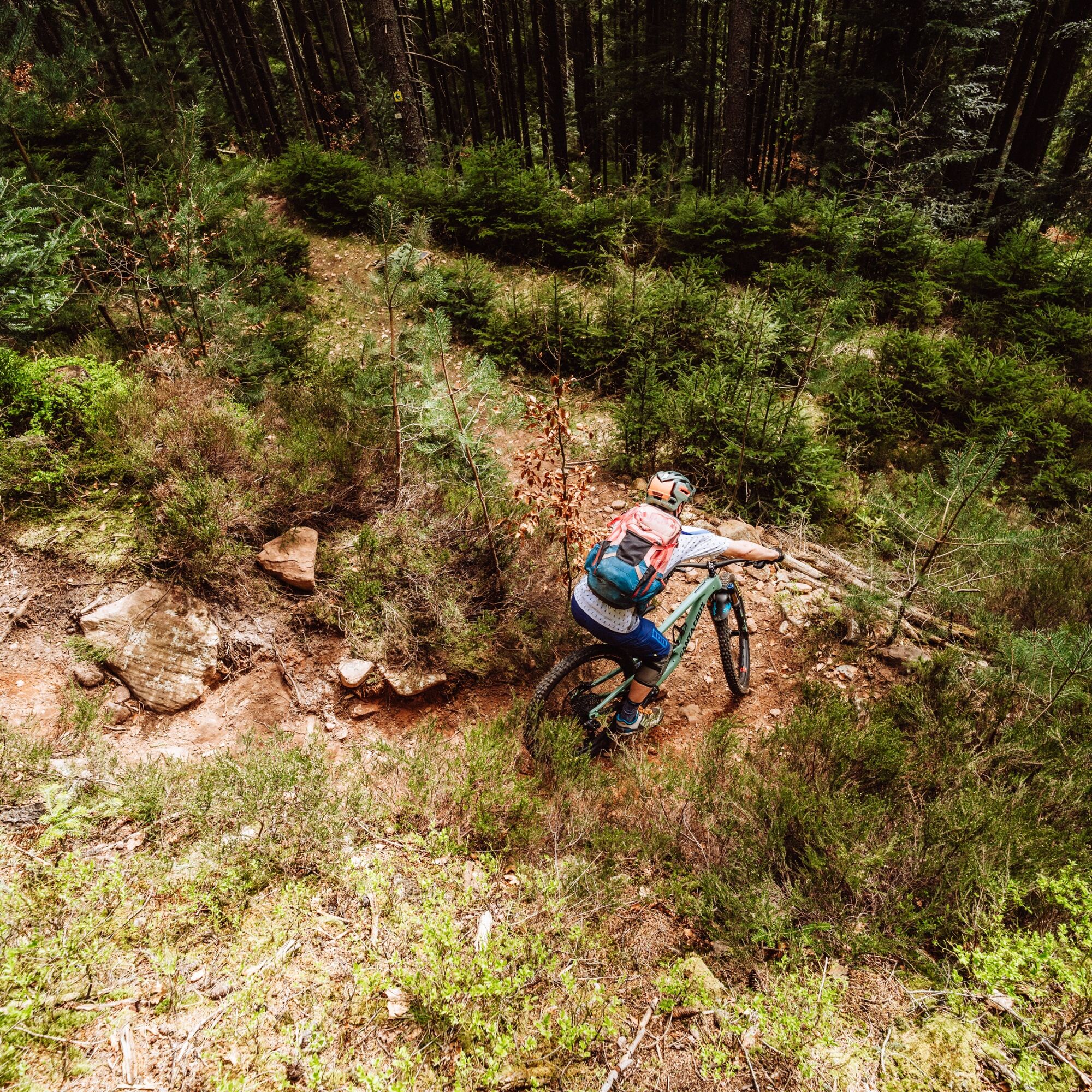
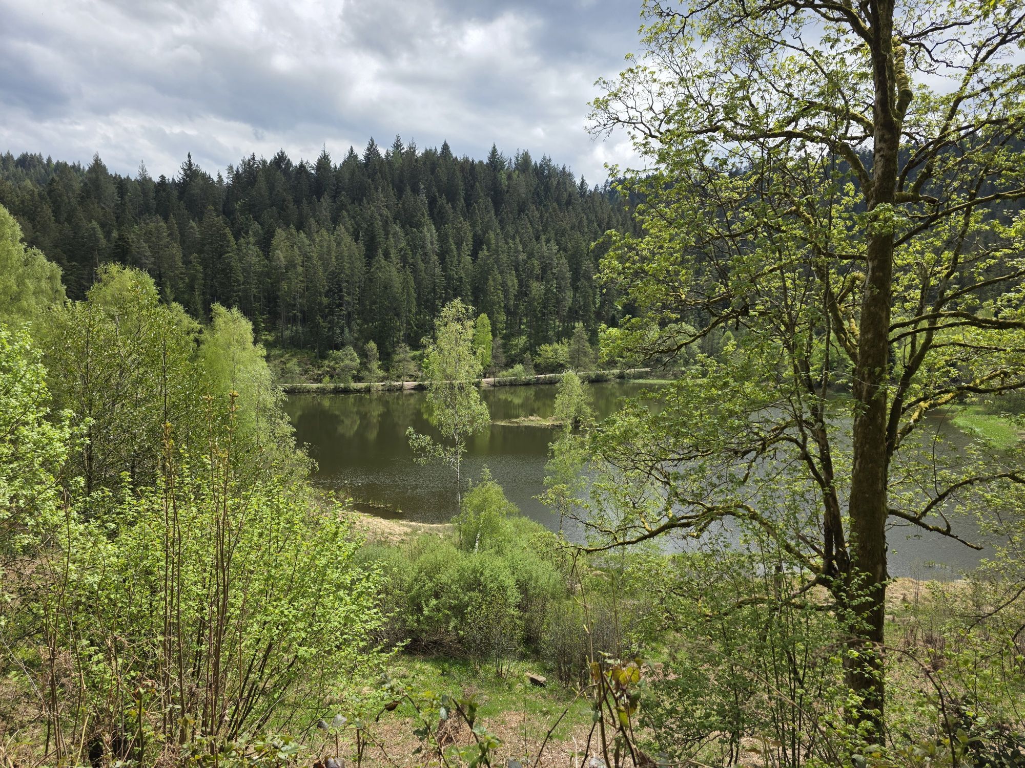
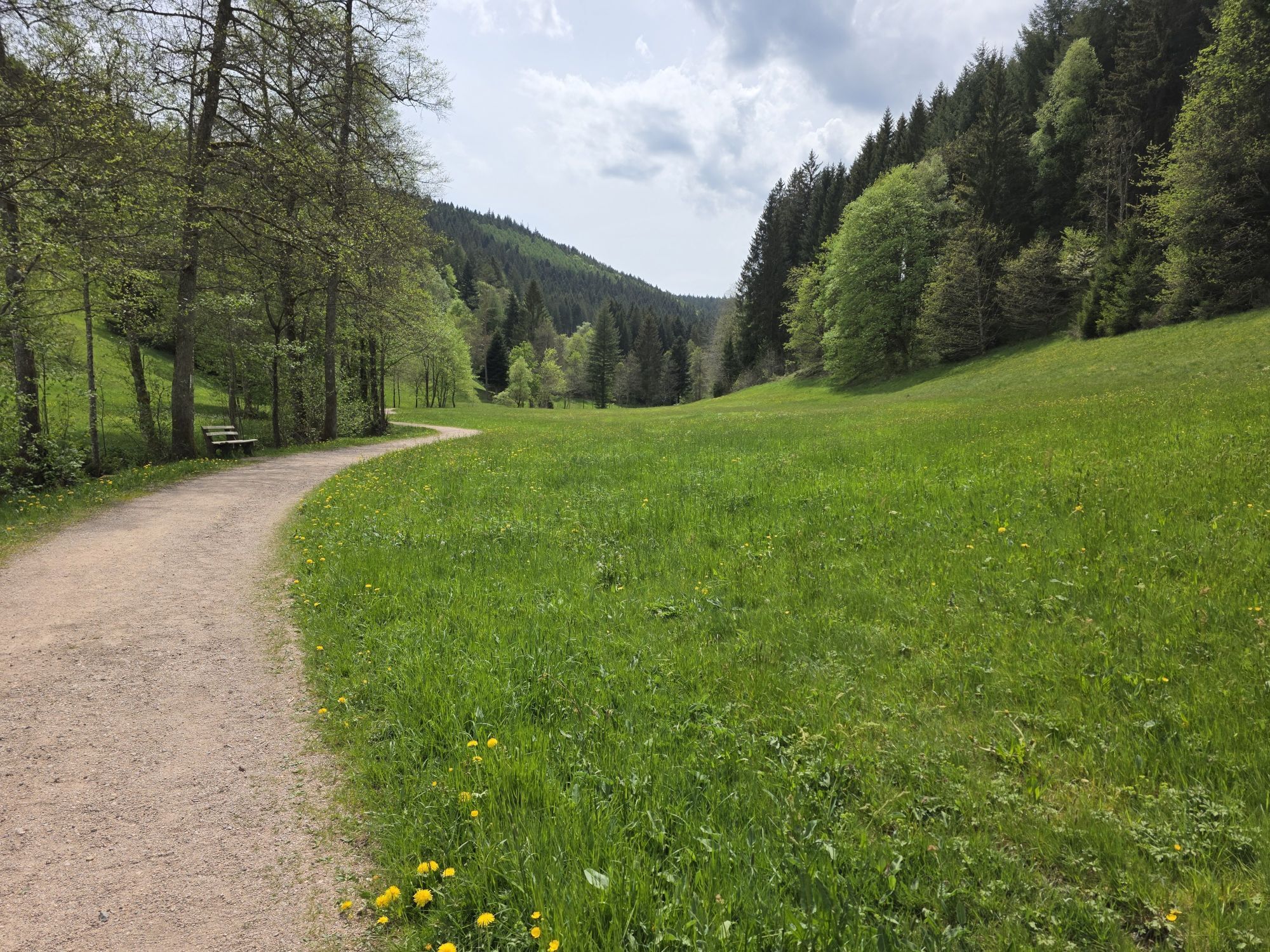
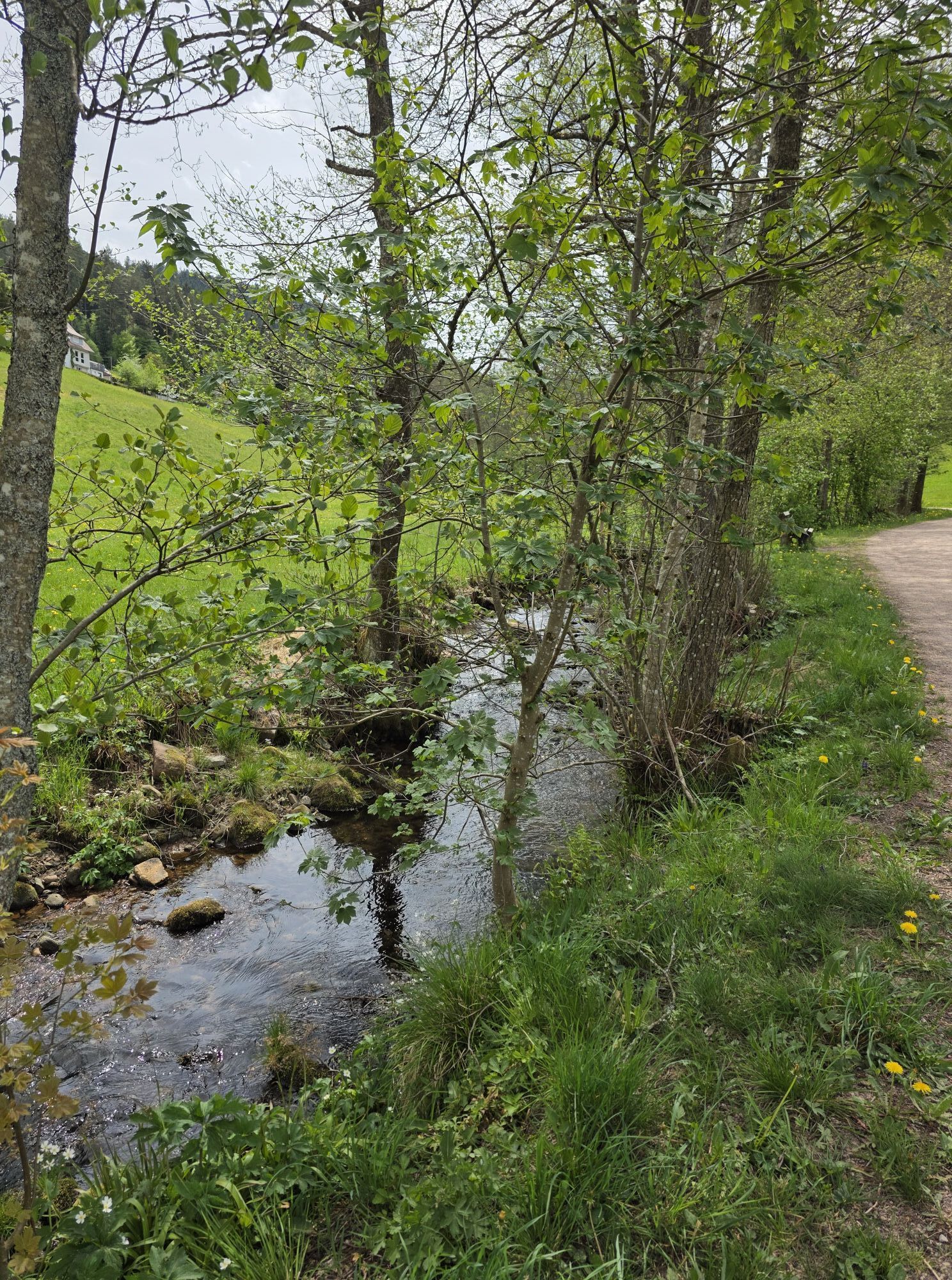
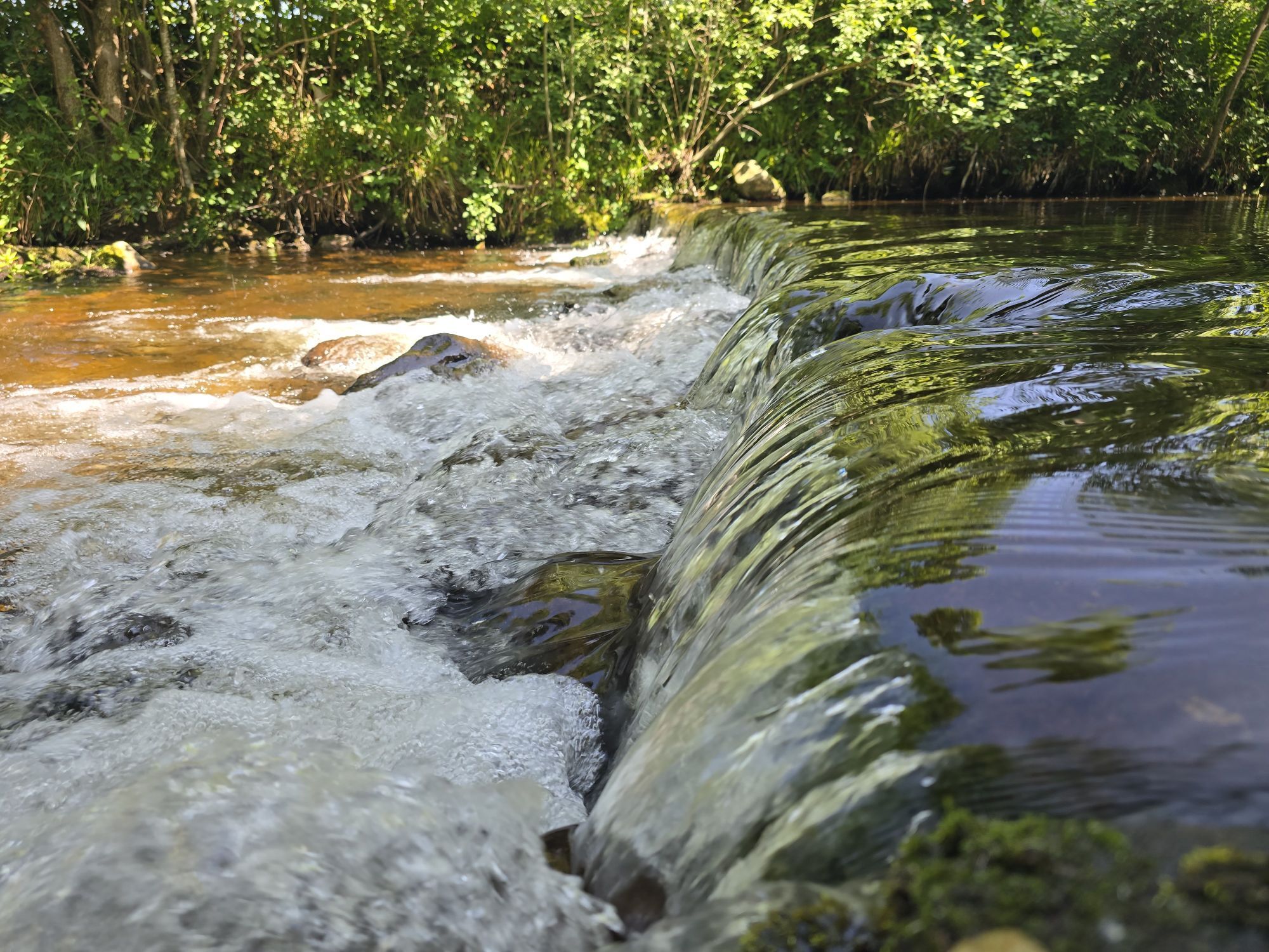
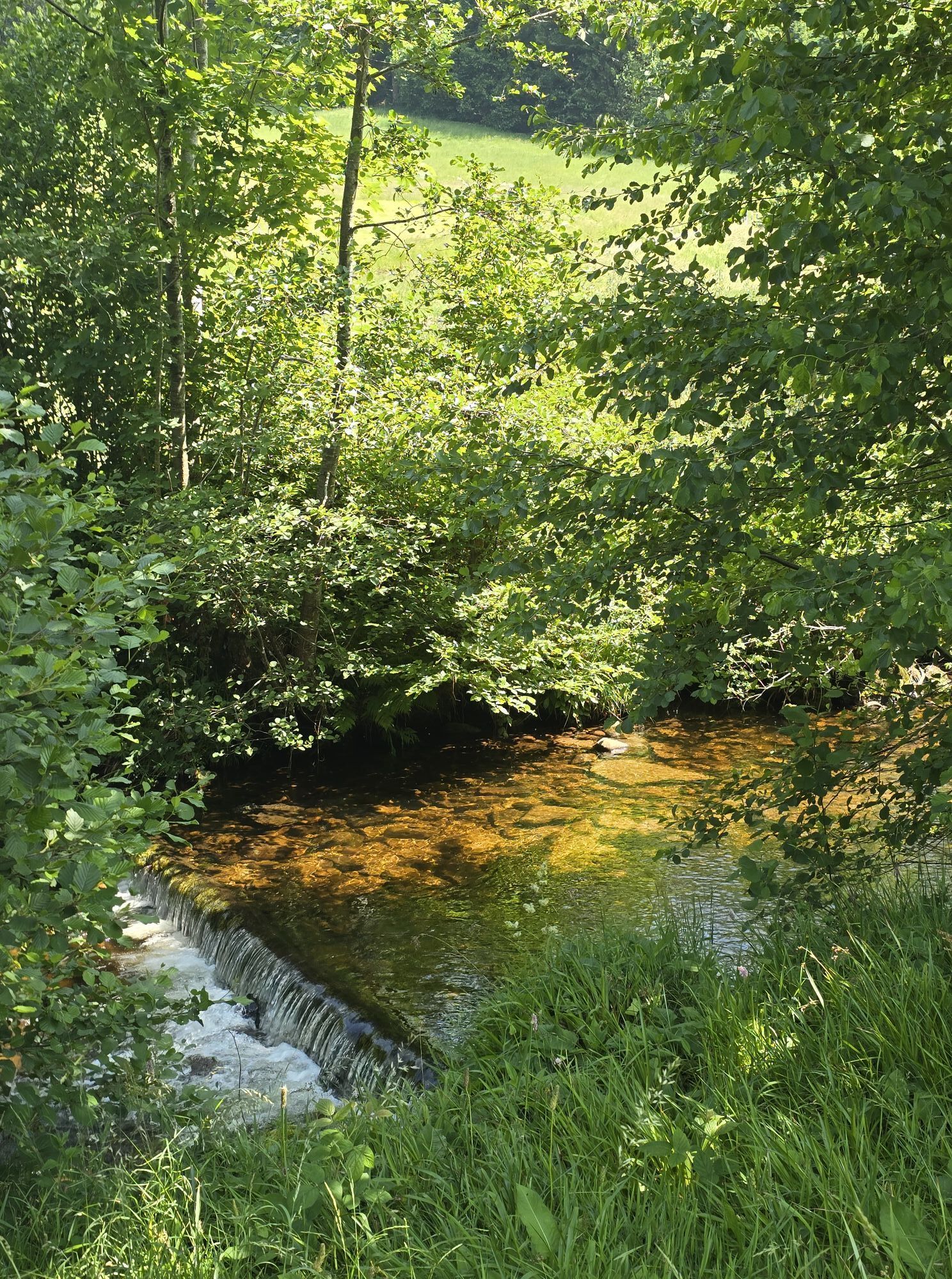
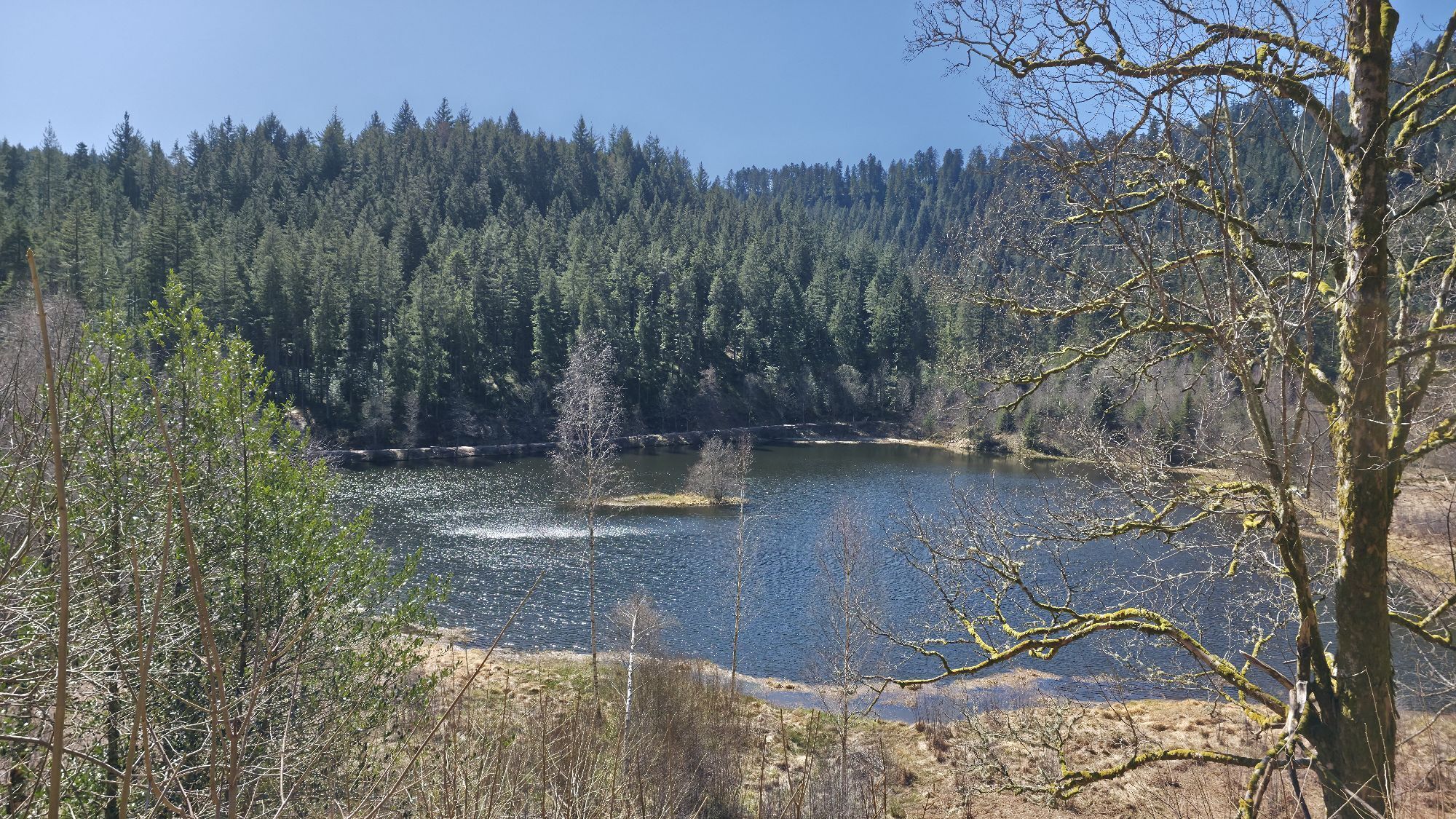
From the starting point at the parking lot of the chairlift in Baiersbronn, the tour starts with a warm-up by first riding up the narrow road in the Sankenbach valley. At the wildlife enclosure, continue straight ahead along the shortcut. The climb continues comfortably up to the natural highlight of the tour, the Sankenbachsee. One should definitely not miss the short detour down to the lake shore. Another highly recommended detour on foot leads about 200 m to the Sankenbach waterfall. Over the Heinzelberg, the route climbs up to about 860 m. At the Kienberg hut, a scenic break on the sky bed is worthwhile before turning right into the descent. A wide path brings the bikers with a great view to the Höllkopf hut. A challenging hairpin descent leads down to the Grunes Plätzle hiking parking lot. From here, the route follows a hidden trail down to the Bergsträssle. From here, it's a climb again to the Höllrain where water bottles can be refilled. The route continues first on a flat trail and then on wide paths to the barefoot path on the wooden trail. A short trail leads us down to the Bergergrund. Over a meadow path, the Stutzweg, it goes back to Baiersbronn with a wonderful view, where a well-deserved break awaits.
There is another shortcut option:
2nd shortcut - Höllkopf: At the Höllkopf path, turn directly into the downhill trail.E-Mountainbike:
Use the signposted detours on the Kienbachtrail and Bergergrundtrail with the e-mountain bike.
Please check in advance at the current trail closures or at the Baiersbronn Hiking Information Center whether the route is clear. Tel.: +49 7442 8414-66.
Children:
The tour is suitable for young people from about 12 years old, assuming good fitness and riding technique. Black trail sections should possibly be avoided.
Über die B462 nach Baiersbronn
Parking lot at the Baiersbronn chairlift (free of charge), Sankenbachstraße, 72270 Baiersbronn
S2
Tips for this route:
Link to T1 - Stöckerkopf tour with the complete route length Link to T1 - Stöckerkopf tour - shortcut 2 Höllkopf Everything about biking in BaiersbronnPlaces to eat
Various options in Baiersbronn and in the immediate vicinity of the starting pointAtmosphere at Sankenbachsee Sankenbach Waterfall
Barefoot path on the wooden trail
Charcoal kiln
Children's playground
Popularne wycieczki w okolicy
-
5,0
Ottenhöfen - Eichkopf - Karlsruher Grat
średniWędrówka 13,7 km -
4,7
Kniebiser Heimatpfad - Wandern mit Genuss
światłoWędrówka 9,07 km -
4,0
Sankenbachwasserfälle und Glasmännlehütte am Stöckerkopf
średniWędrówka 12,8 km -
5,0
Naturgewalten-Tour
Wędrówka 15,6 km -
5,0
Bannwald-Tour
Wędrówka 13,3 km -
4,6
Bad Rippoldsau - Cafe & Restaurant Zum Schlüssel - Klösterle - Burgbachwasserfall
średniWędrówka 11,2 km -
4,8
Bad Peterstal-Griesbach - Himmelssteig für "Höhenverliebte"
ciężkiWędrówka 10,3 km -
5,0
Kniebis-Sankenbachwasserfälle-Sankenbachsee
średniWędrówka 7,98 km -
4,0
Eiszeit-Tour
Wędrówka 11,7 km -
2,6
Genießerpfad zum Panoramastüble
Wędrówka 10,6 km
Wędrówki i tropienie


Nie przegap ofert i inspiracji na następne wakacje
Twój adres e-mail została dodana do listy mailingowej.