


All the lakes and the highest peak
Zdjęcia naszych użytkowników
-
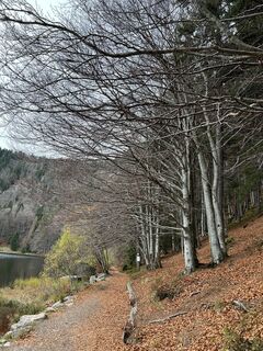
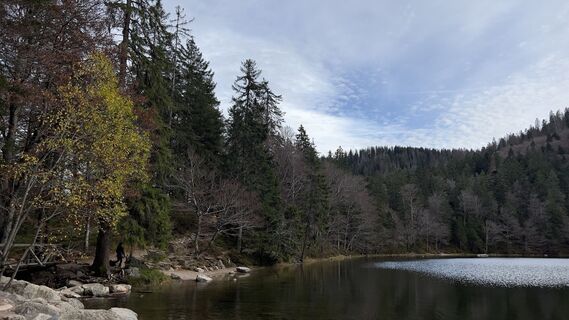
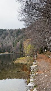
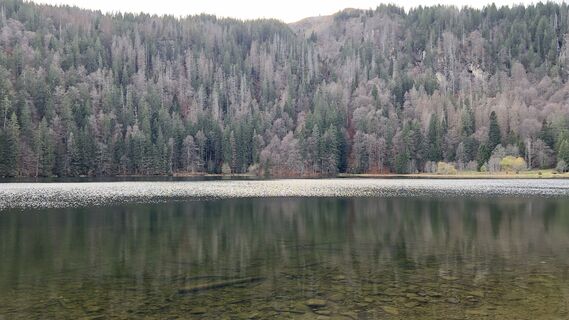
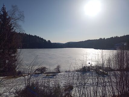
 © vcandilUtworzono dnia 06.11.2022
 -
 © vcandilUtworzono dnia 06.11.2022
 -
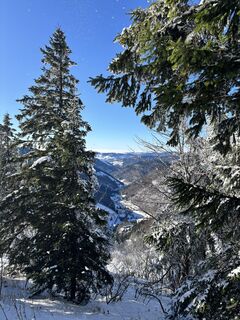
 © brauni69Utworzono dnia 18.04.2026
 -
 © brauni69Utworzono dnia 18.04.2026
 -
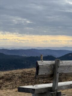
 © Donato AlfiUtworzono dnia 08.10.2025
 -
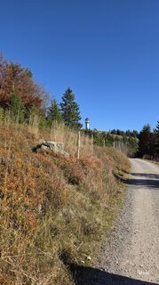
 © THE 1Utworzono dnia 12.08.2025
 -
 © THE 1Utworzono dnia 12.08.2025
 -
 © Pierre HeinleinUtworzono dnia 30.12.2023
 -
 © Sonja HerdegUtworzono dnia 17.06.2023
 -
 © vcandilUtworzono dnia 06.11.2022
 -
 © vcandilUtworzono dnia 06.11.2022
 -
 © vcandilUtworzono dnia 06.11.2022
 -
 © vcandilUtworzono dnia 06.11.2022
 -
 © vcandilUtworzono dnia 06.11.2022
 -
 © vcandilUtworzono dnia 06.11.2022
 -
 © vcandilUtworzono dnia 06.11.2022
 -
 © vcandilUtworzono dnia 06.11.2022
 -
 © vcandilUtworzono dnia 06.11.2022
 -
 © vcandilUtworzono dnia 06.11.2022
 -
 © vcandilUtworzono dnia 06.11.2022
 -
 © vcandilUtworzono dnia 06.11.2022
 -
 © vcandilUtworzono dnia 06.11.2022
 -
 © vcandilUtworzono dnia 06.11.2022
 -
 © SkiniUtworzono dnia 15.10.2022
 -
 © LaifernorbertUtworzono dnia 18.01.2026
 -
 © ViolaUtworzono dnia 22.11.2025
 -
 © ViolaUtworzono dnia 22.11.2025
 -
 © Fabian EUtworzono dnia 15.11.2025
 -
 © Fabian EUtworzono dnia 15.11.2025
 -
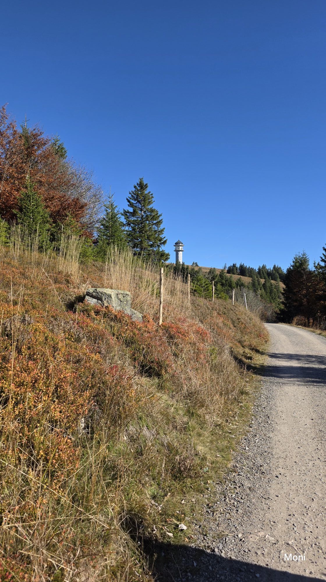
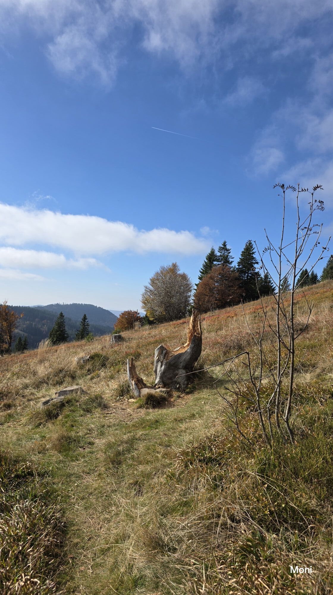
 © MoniUtworzono dnia 18.10.2025
 -
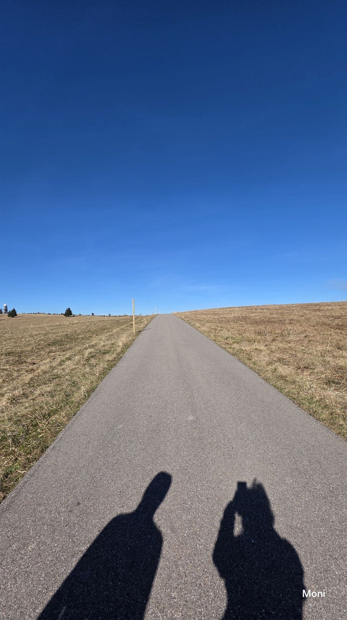
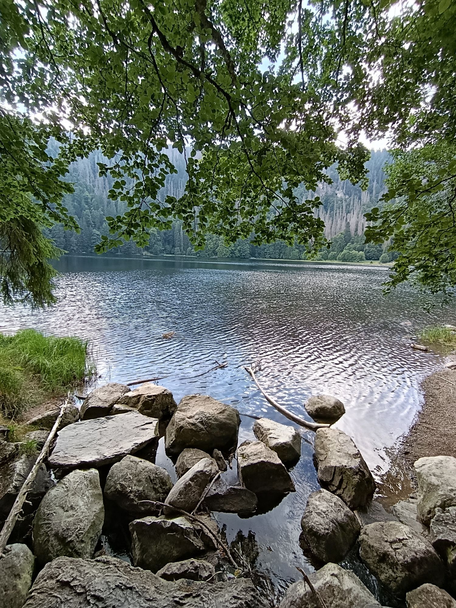
 © MoniUtworzono dnia 18.10.2025
 -
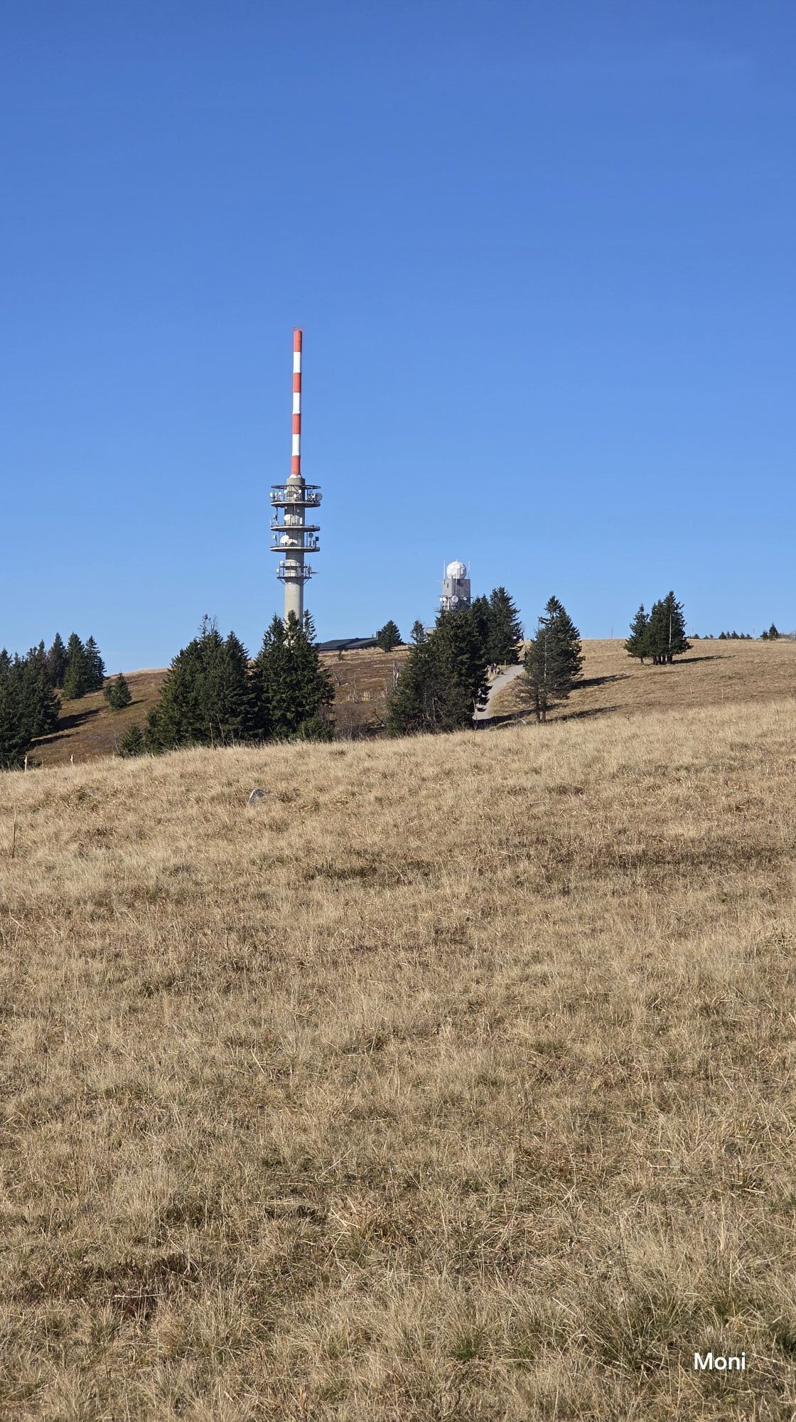
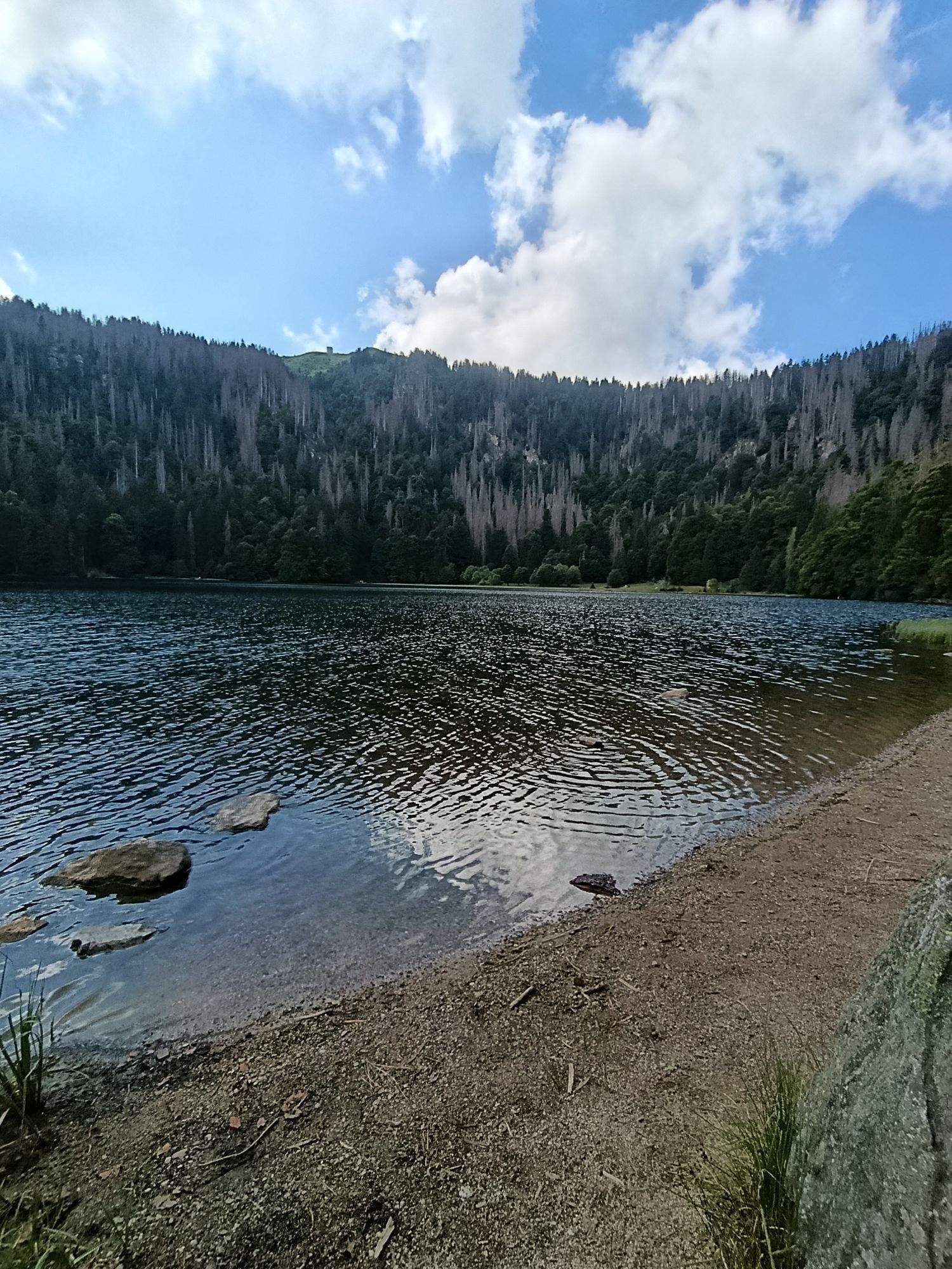
 © MoniUtworzono dnia 18.10.2025
 -
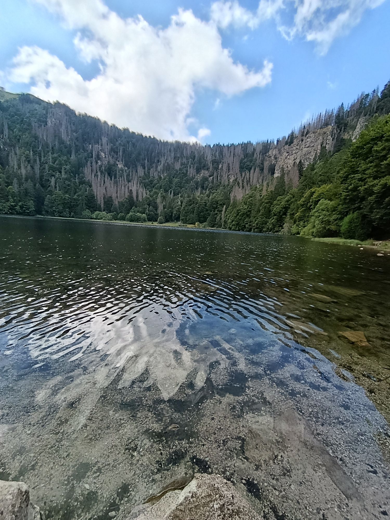
 © MoniUtworzono dnia 18.10.2025
 -
 © SvenLöweUtworzono dnia 26.08.2025
 -
 © Florian EndresUtworzono dnia 17.08.2025
 -
 © Florian EndresUtworzono dnia 17.08.2025
 -
 © Florian EndresUtworzono dnia 17.08.2025
 -
 © Florian EndresUtworzono dnia 17.08.2025
 -
 © Florian EndresUtworzono dnia 17.08.2025
 -
 © Florian EndresUtworzono dnia 17.08.2025
 -
 © Florian EndresUtworzono dnia 17.08.2025
 -
 © Florian EndresUtworzono dnia 17.08.2025
 -
 © JensUtworzono dnia 05.08.2025
 -
 © JensUtworzono dnia 05.08.2025
 -
 © Dietmar Lüdenscheid ?Utworzono dnia 30.05.2025
 -
 © Dietmar Lüdenscheid ?Utworzono dnia 30.05.2025
 -
 © w.k2Utworzono dnia 26.05.2025
 -
 © w.k2Utworzono dnia 26.05.2025


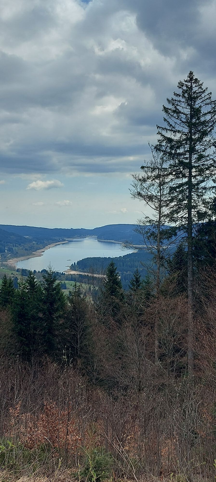
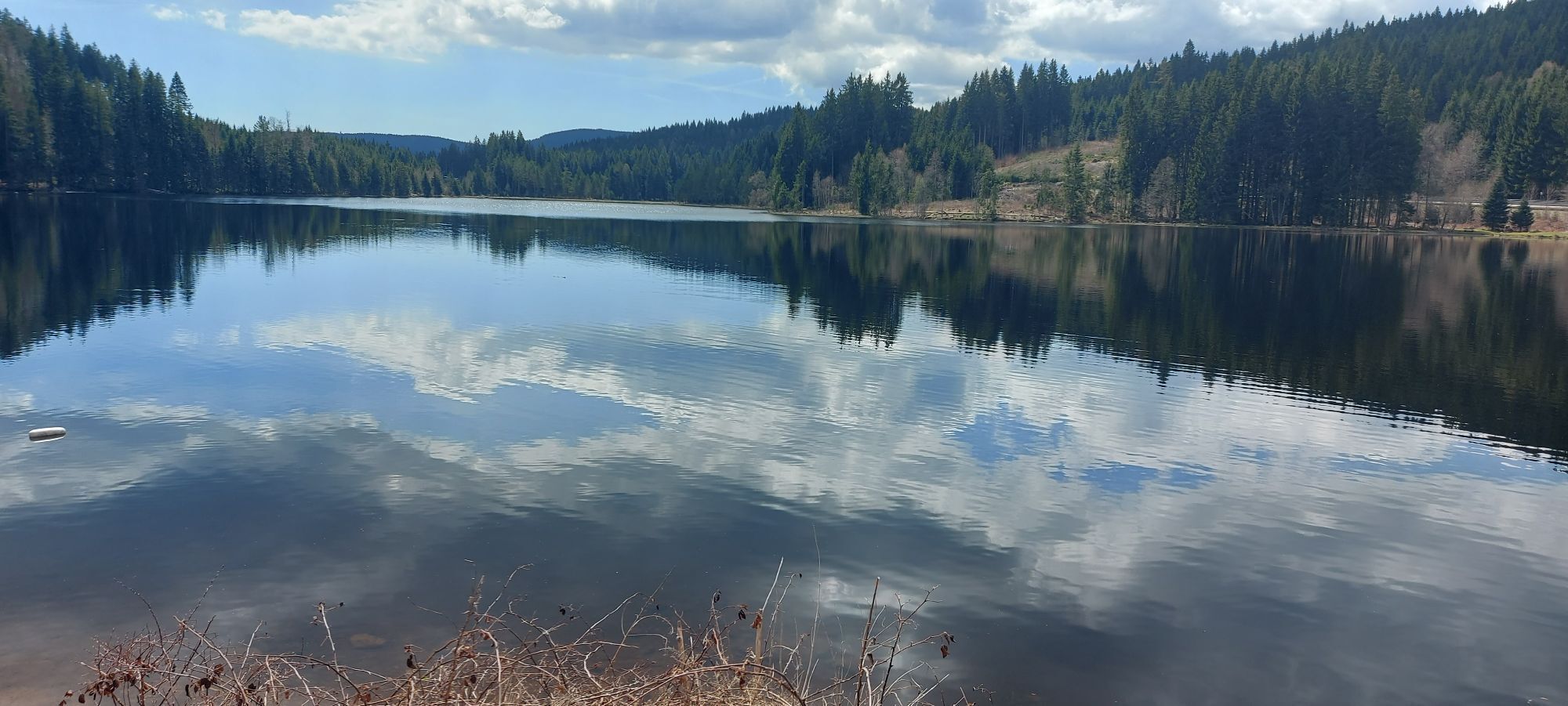
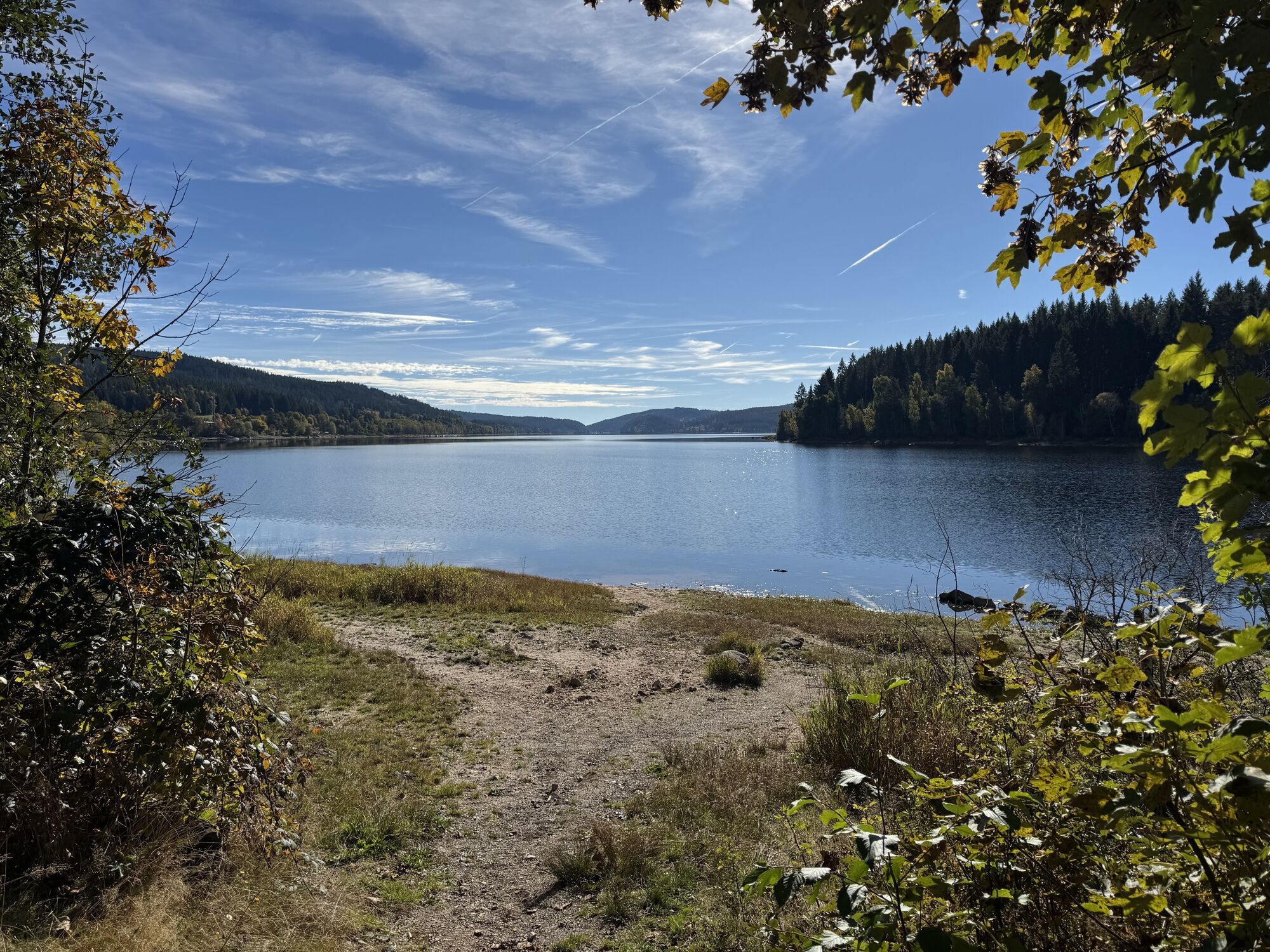
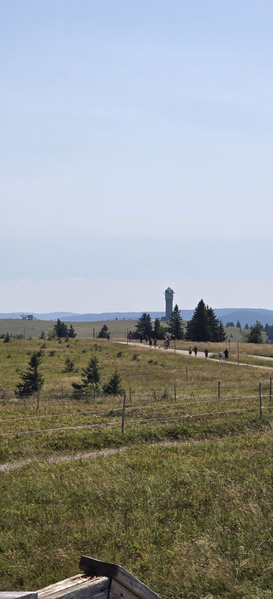
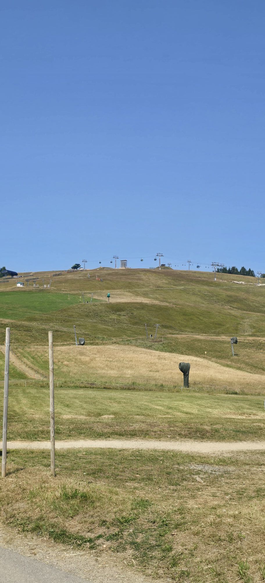


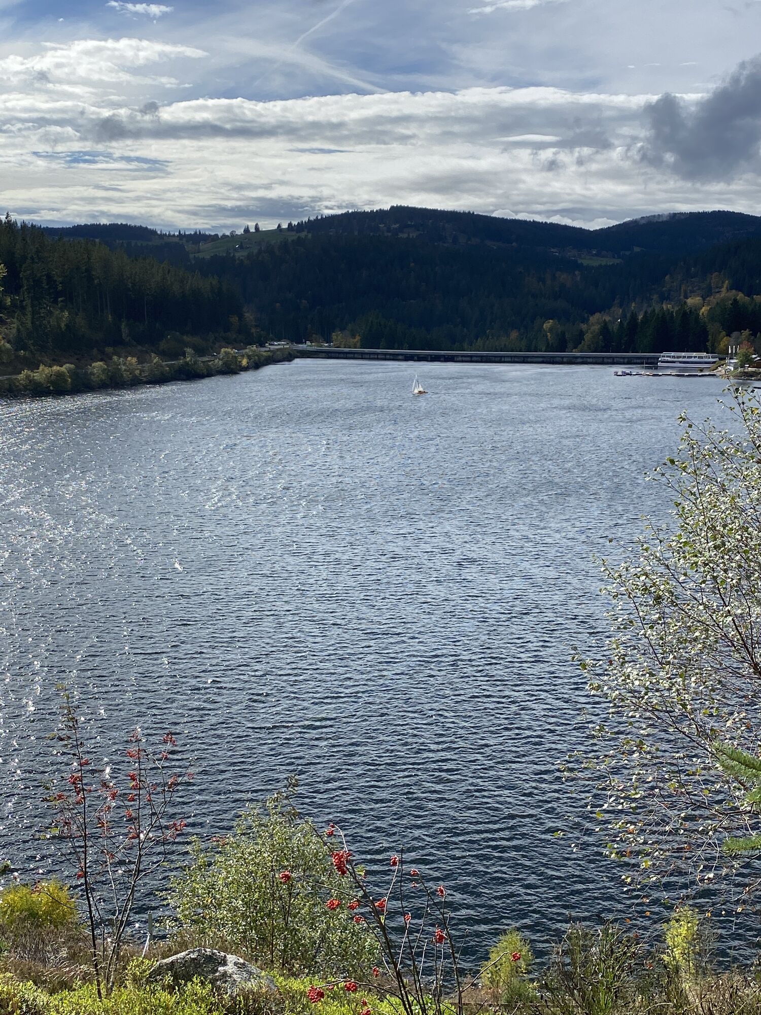


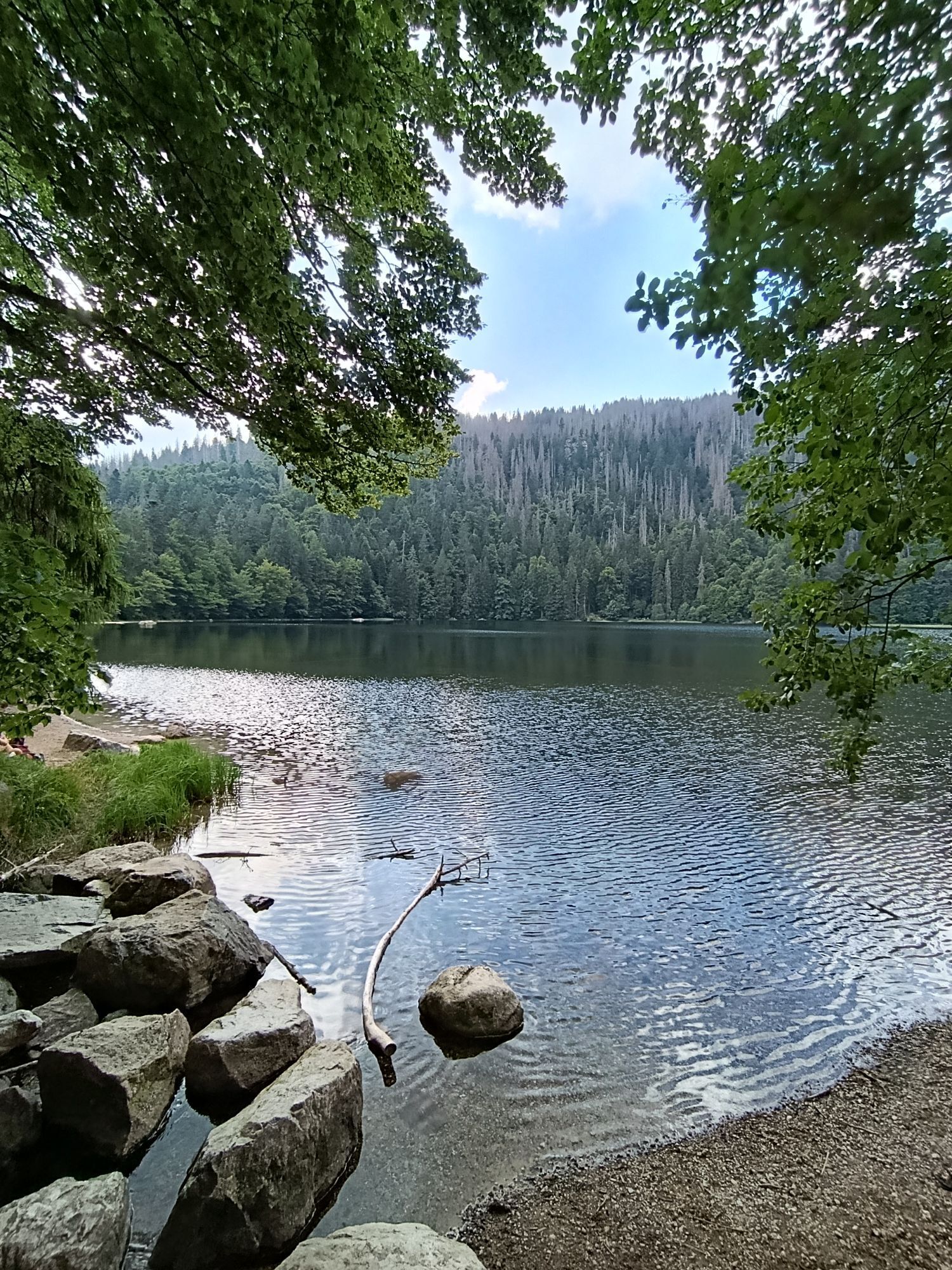

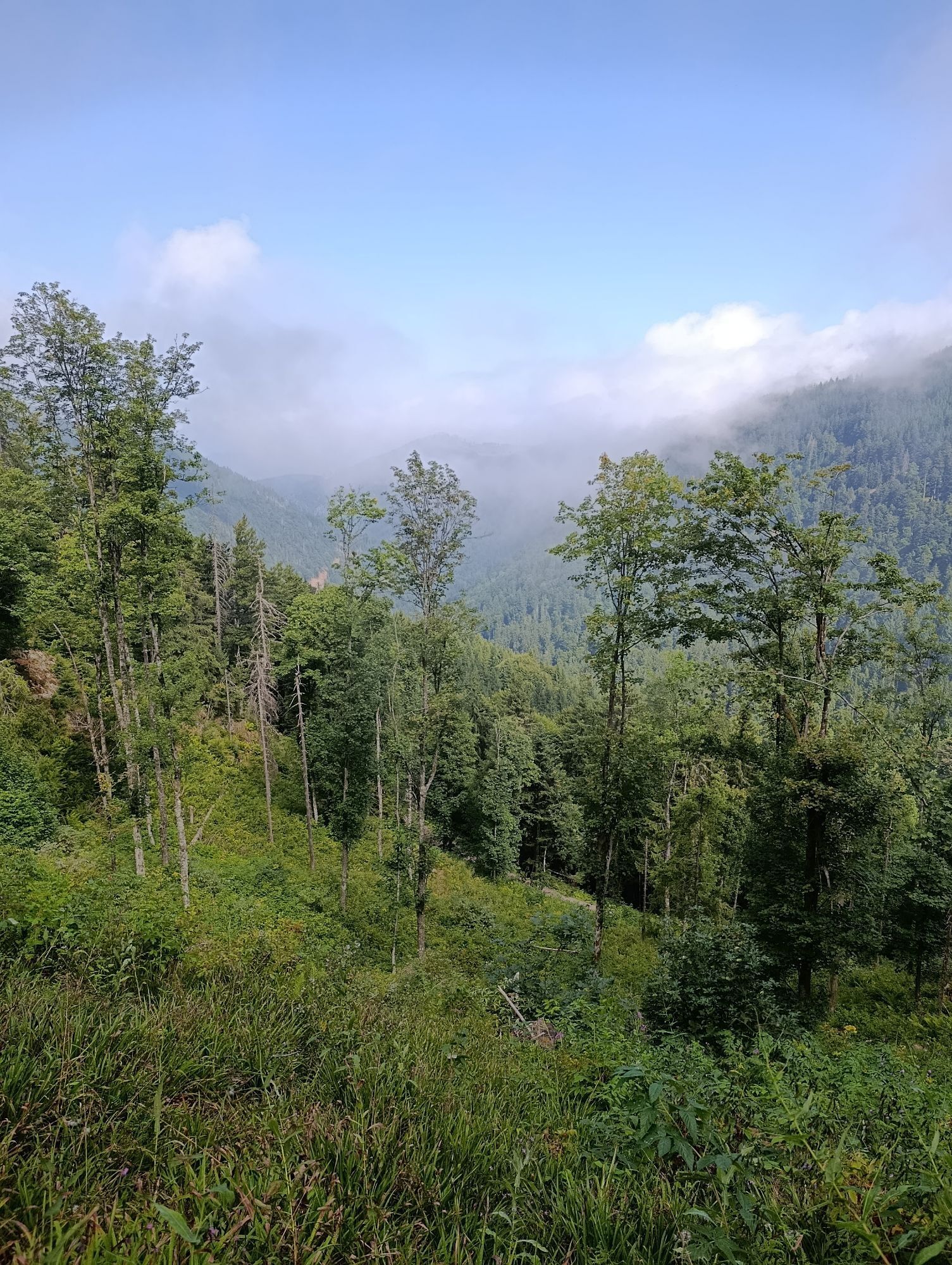
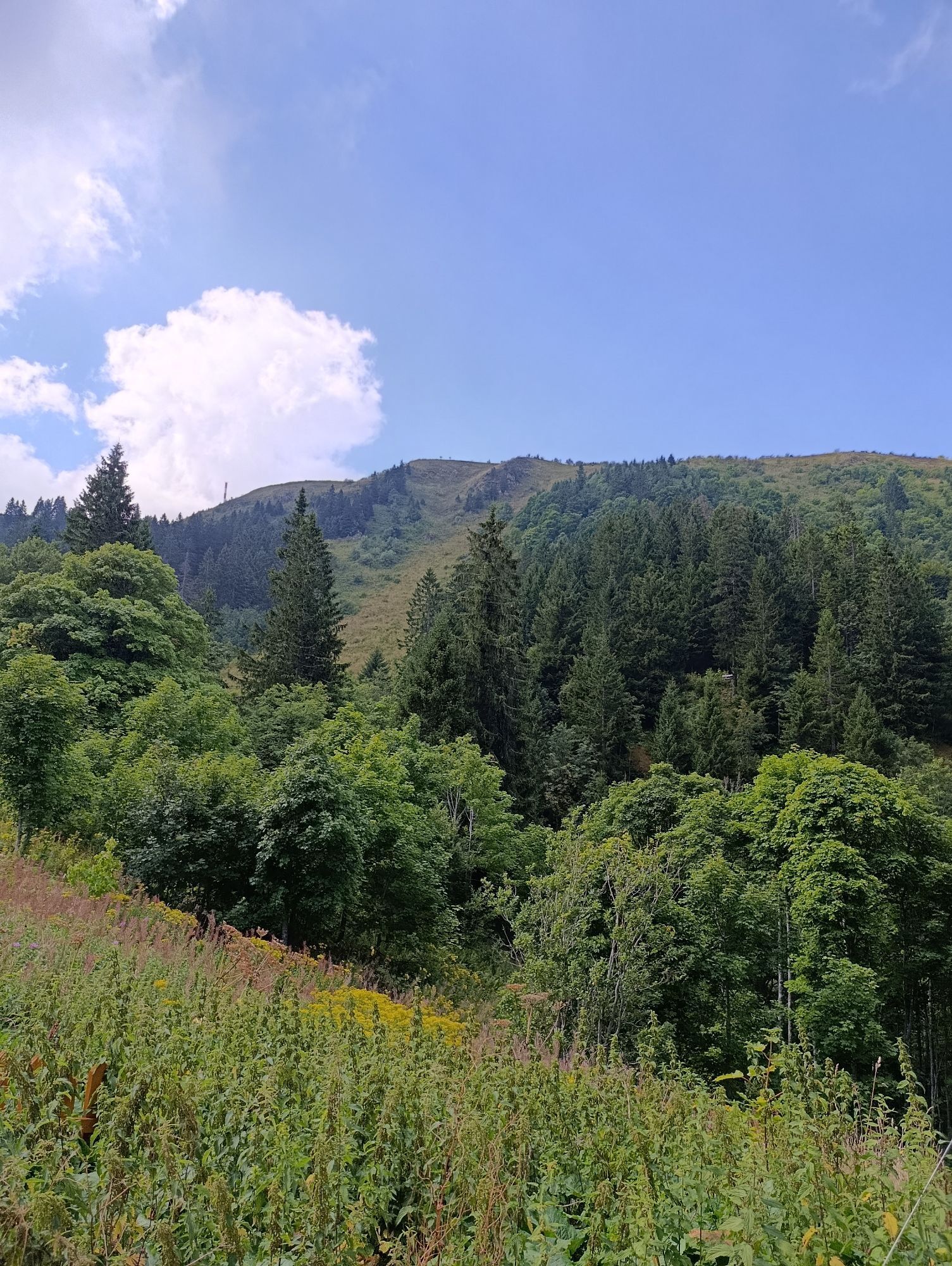
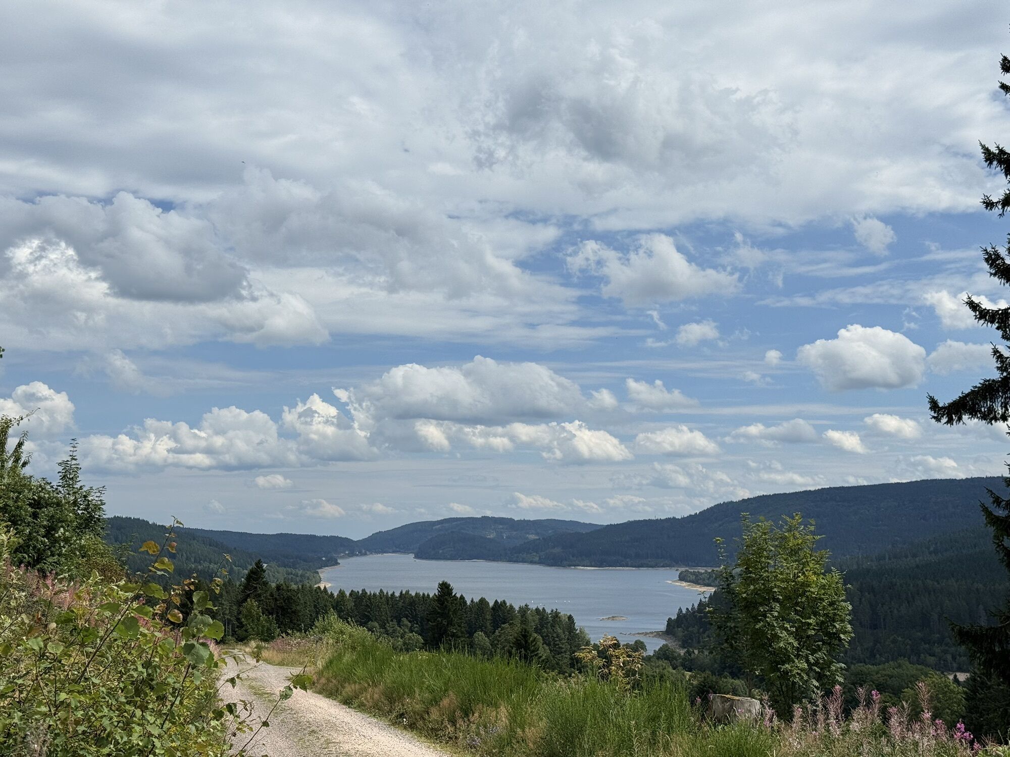


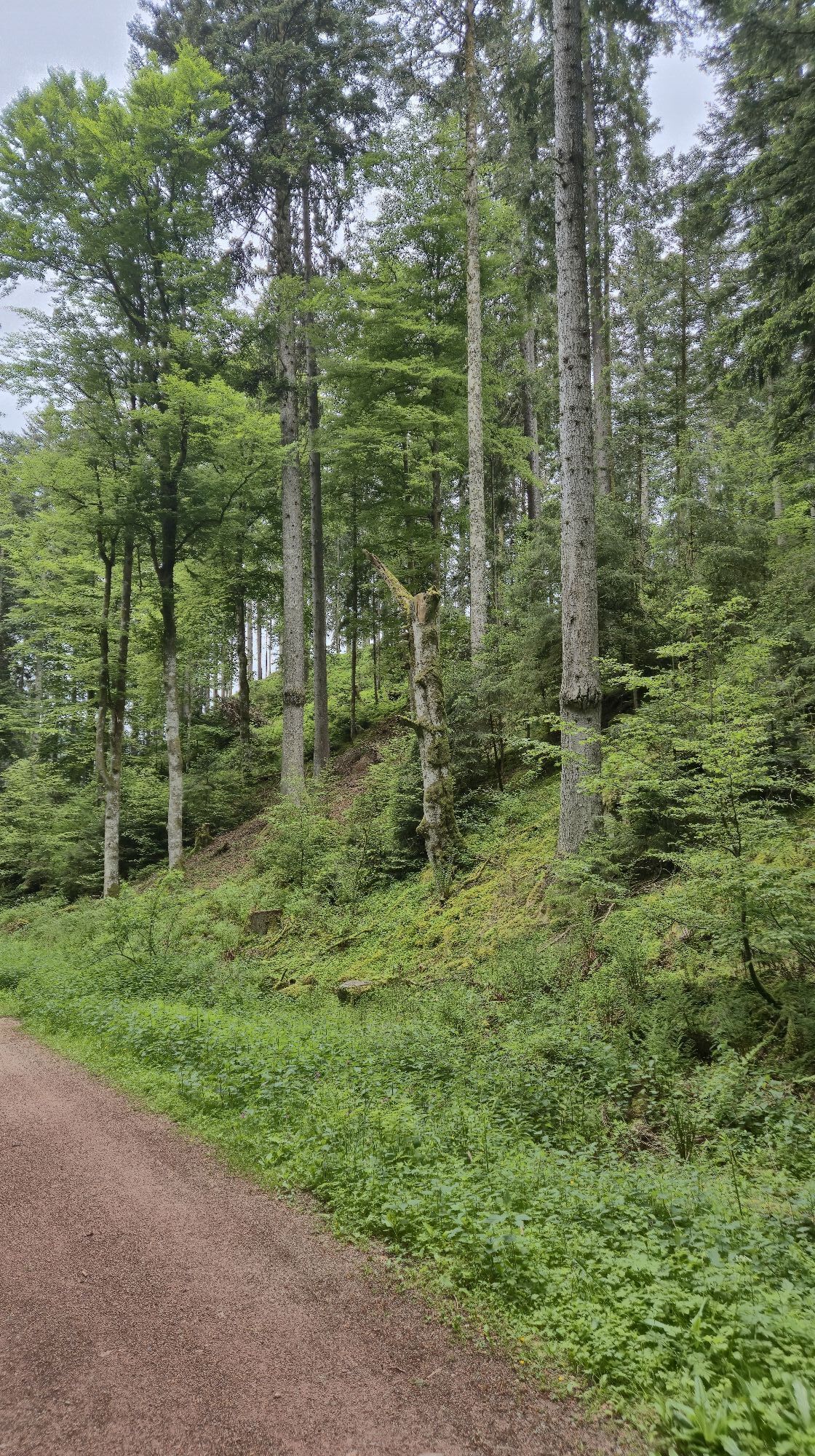
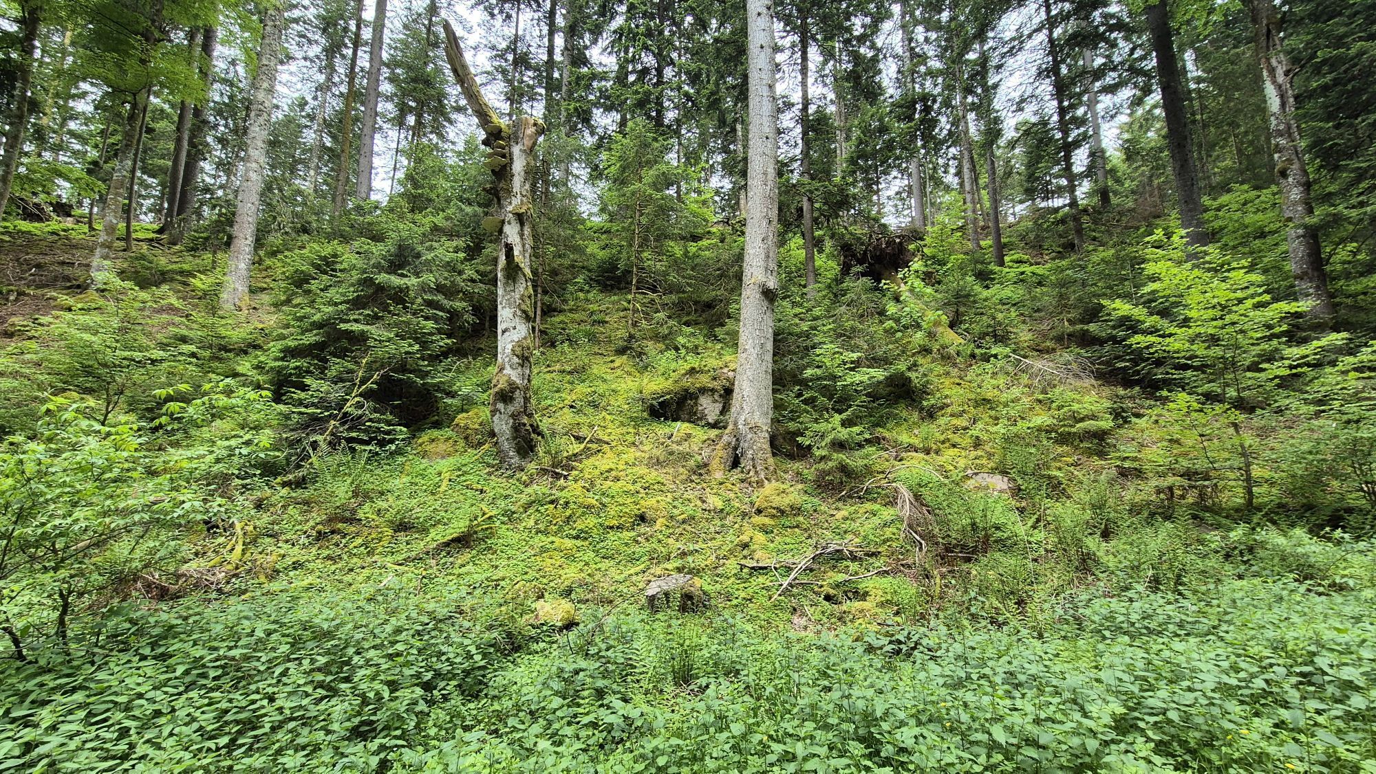
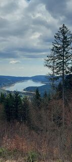
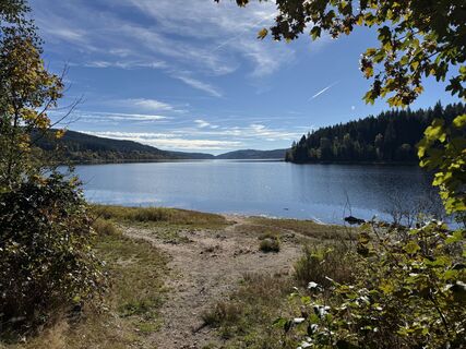
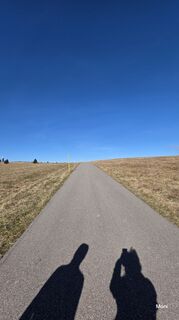
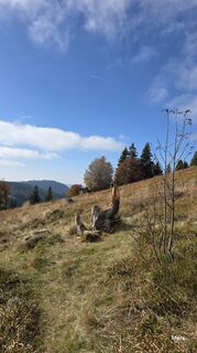
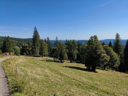
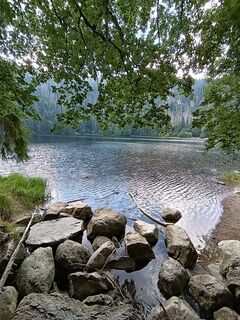
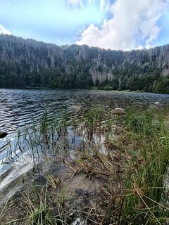
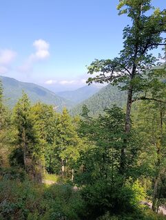
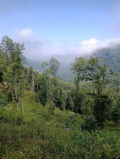
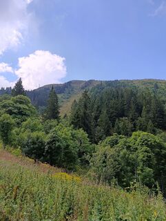
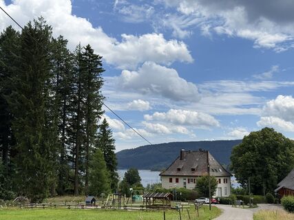
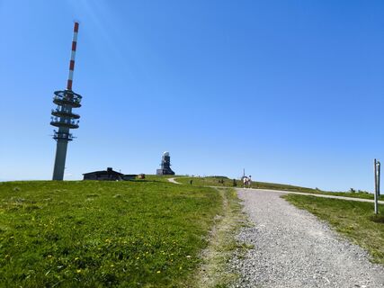
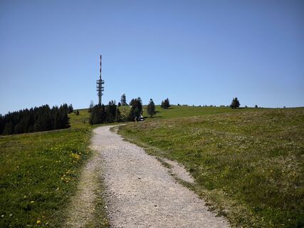
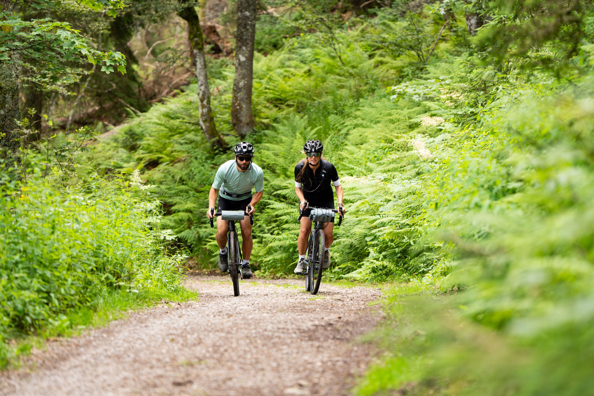
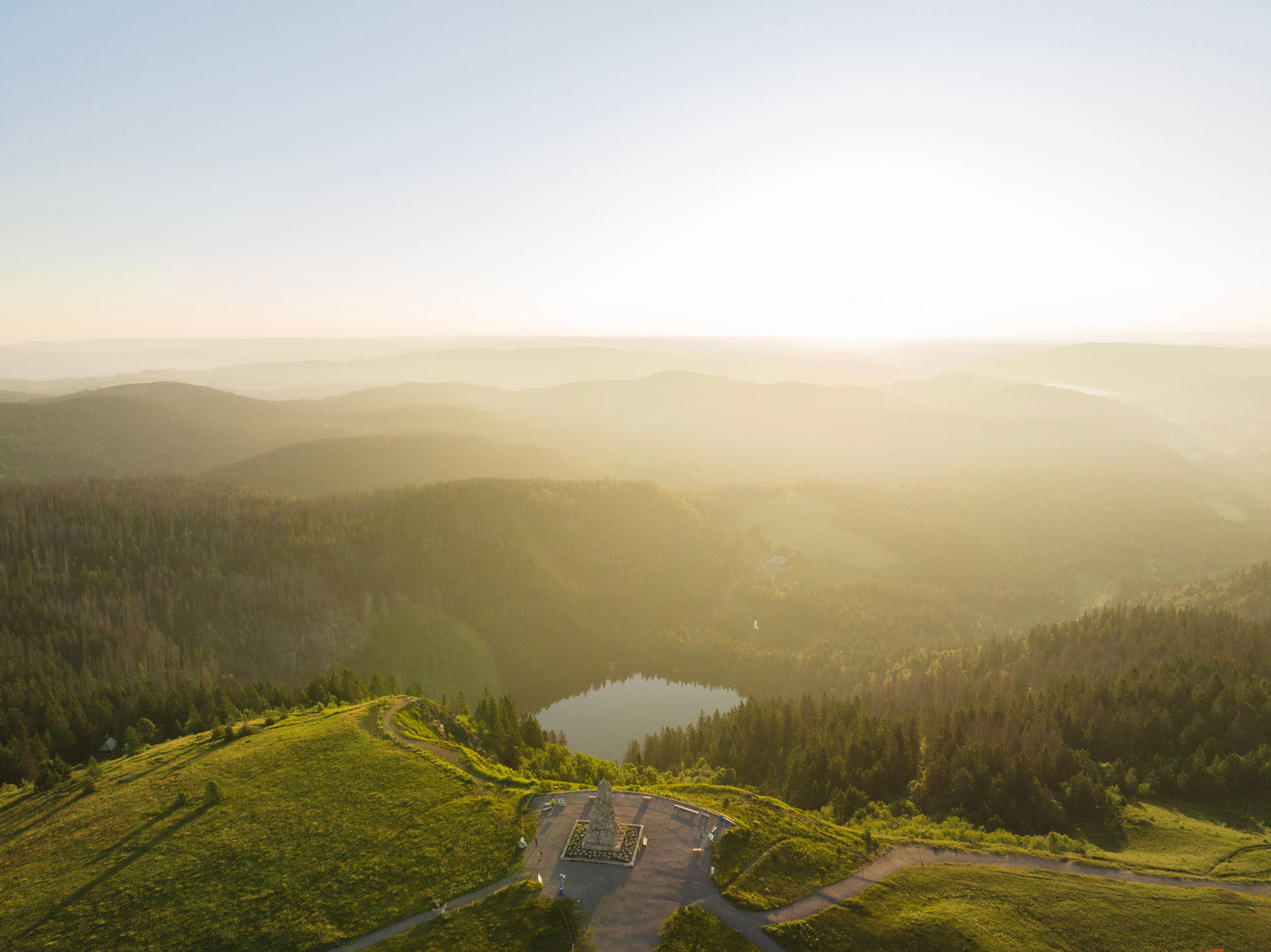
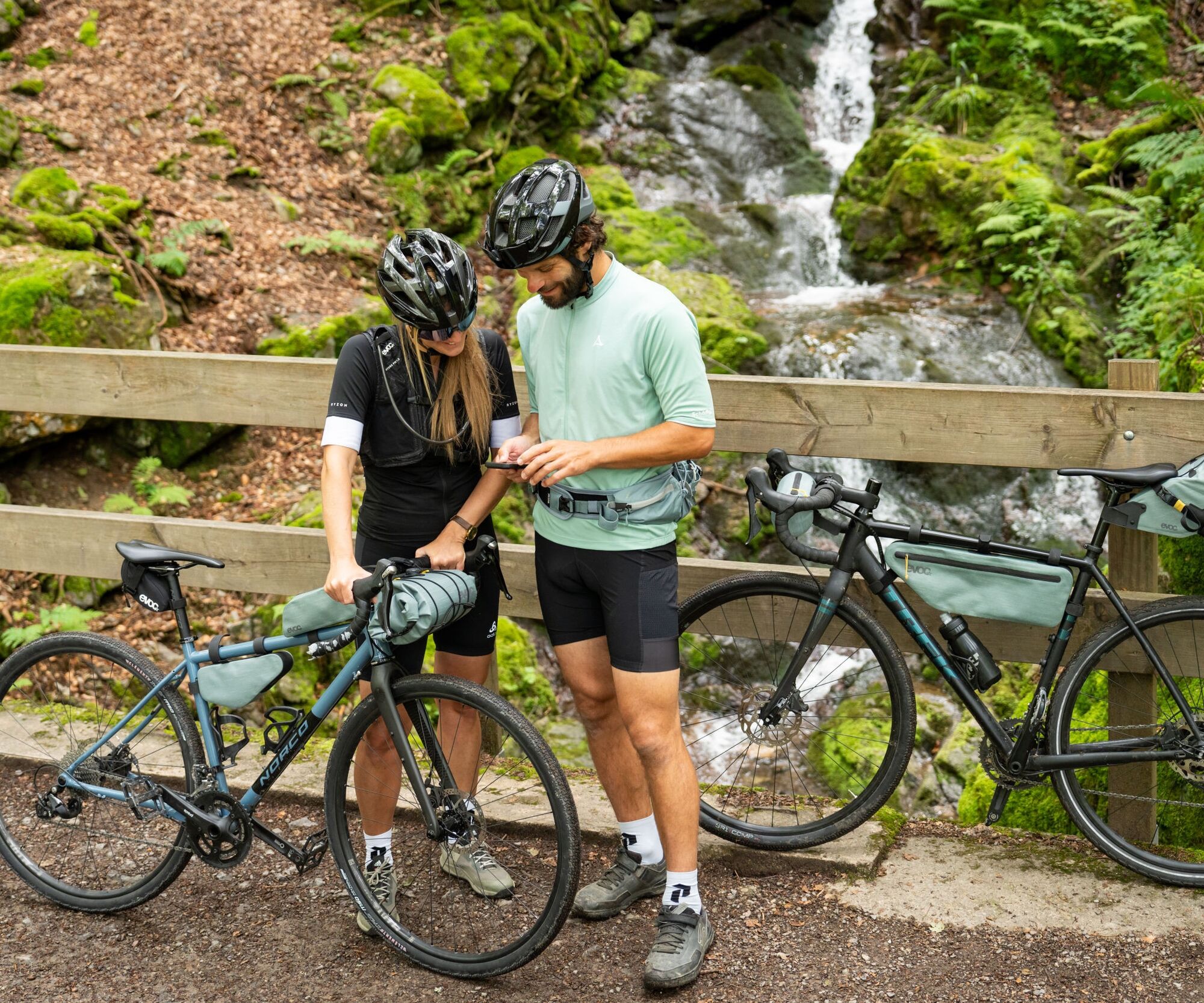
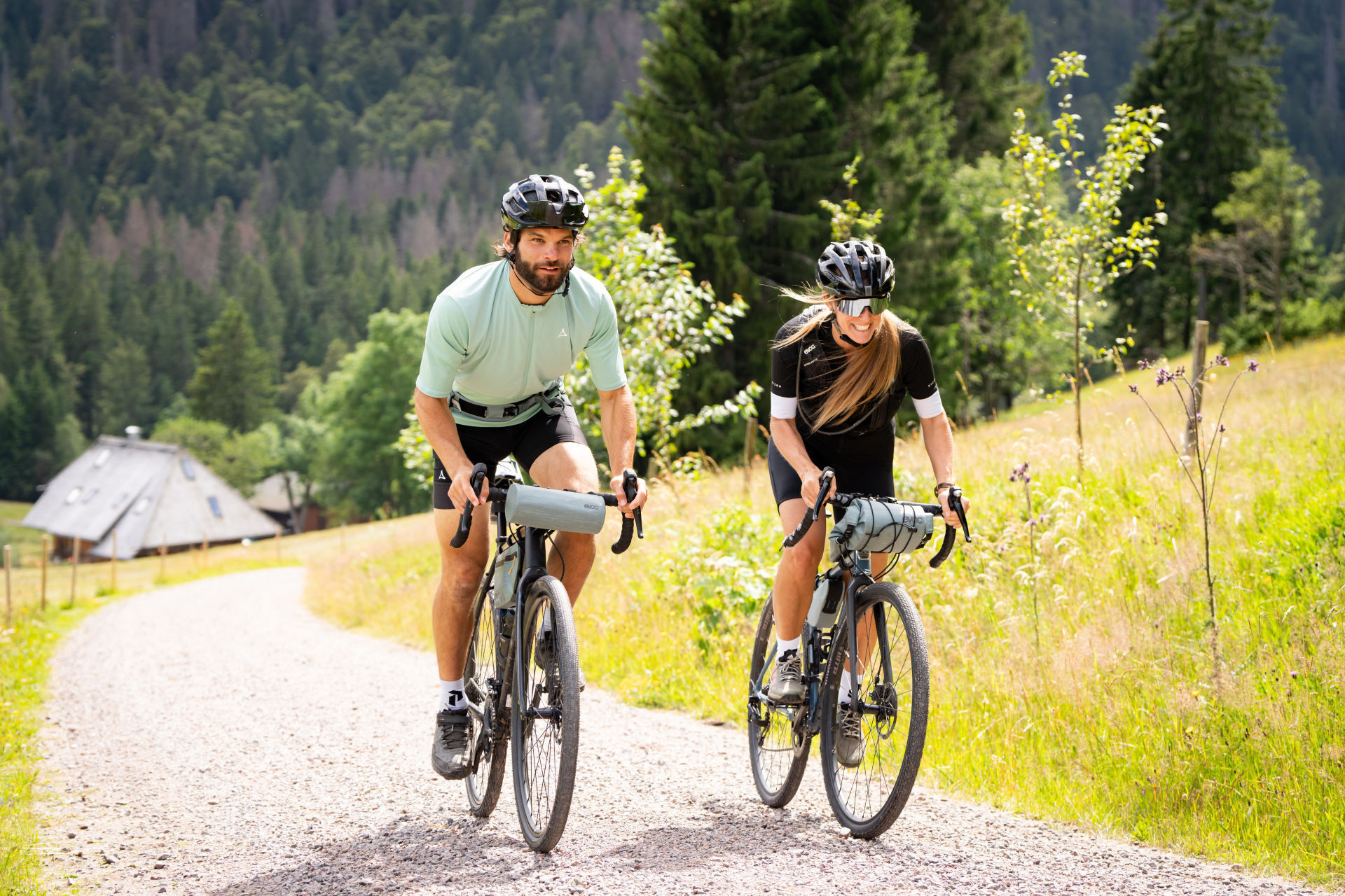
A true dream route for warm summer days – with panoramic views, swimming breaks, and a sporting challenge. You cycle past all the large lakes of the High Black Forest (Schluchsee, Feldsee, Titisee, Windgfällweiher)...
A true dream route for warm summer days – with panoramic views, swimming breaks, and a sporting challenge. You cycle past all the large lakes of the High Black Forest (Schluchsee, Feldsee, Titisee, Windgfällweiher) and take on the Feldberg, even the highest summit of the Black Forest. The route is ideal for fit gravel bikers who enjoy nature, elevation gain, and a little cooling off.

Tak
Ein Fahrradhelm sollte immer getragen werden!
Nur bei Tageslicht befahren.
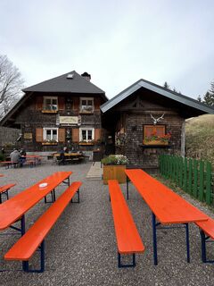
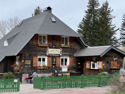
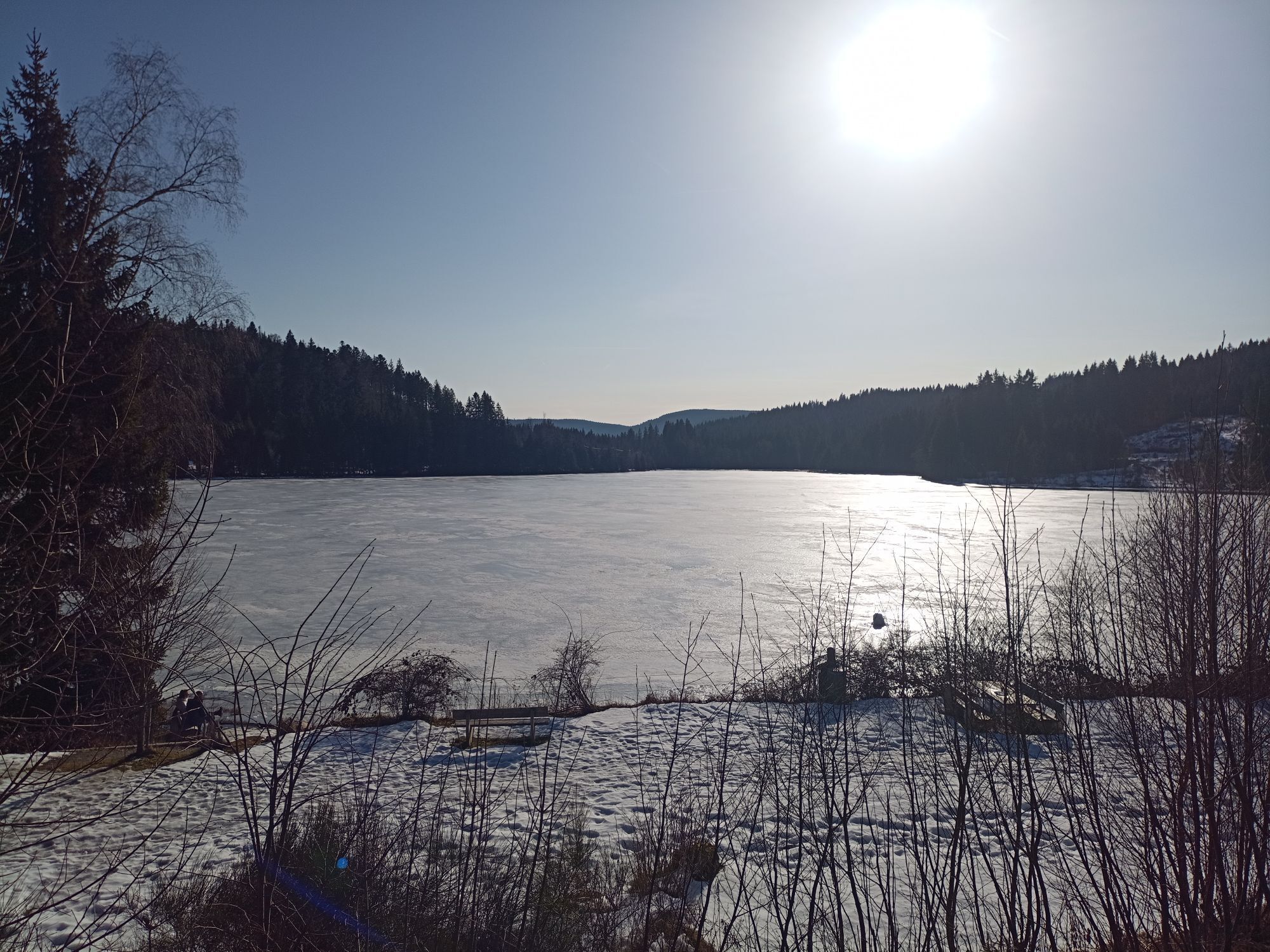
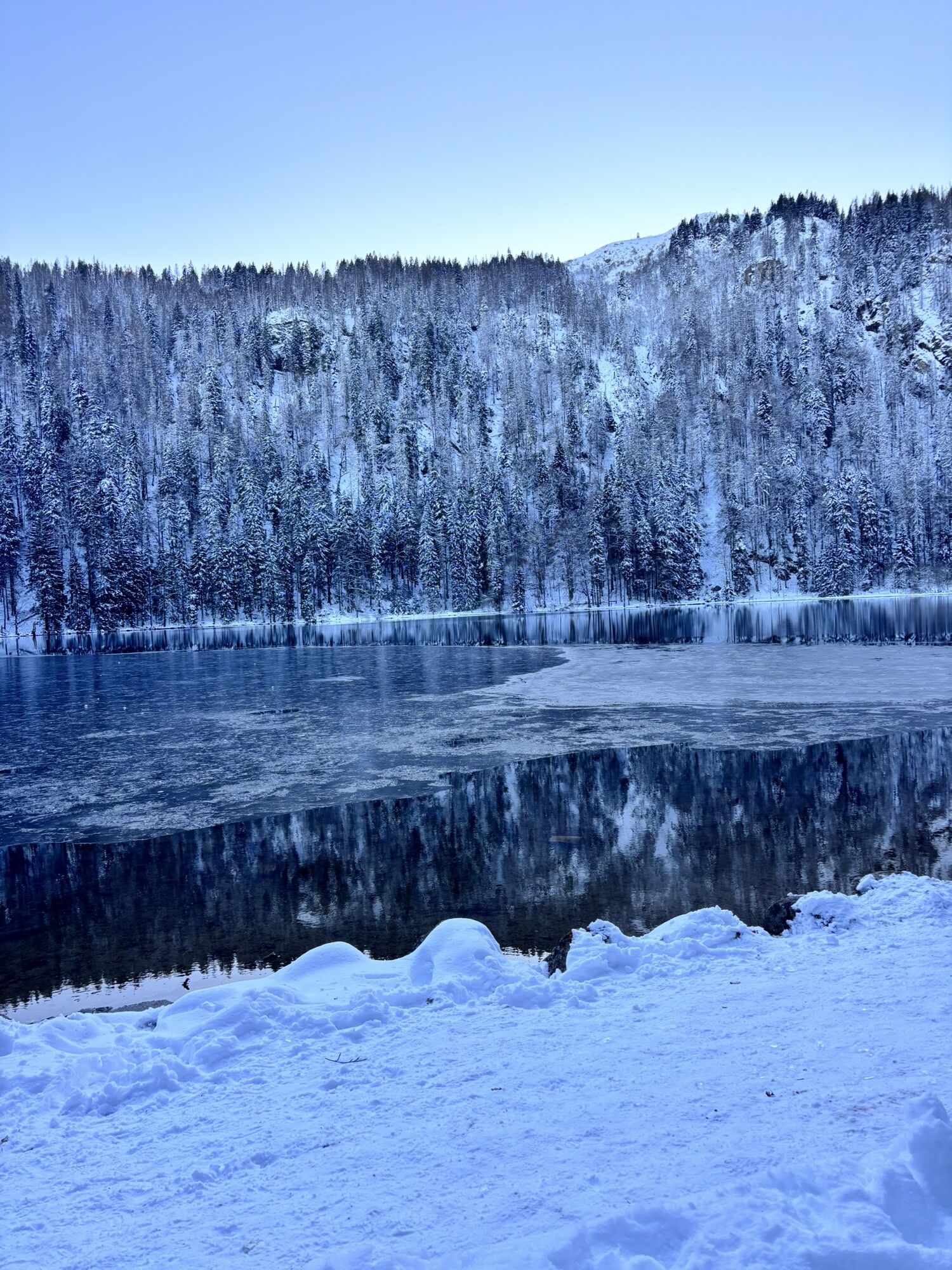
Leave your bike at the bridge of the Feldsee and take a walk around the lake before ordering something delicious to eat at the Raimartihof.
Kamery internetowe z trasy
-
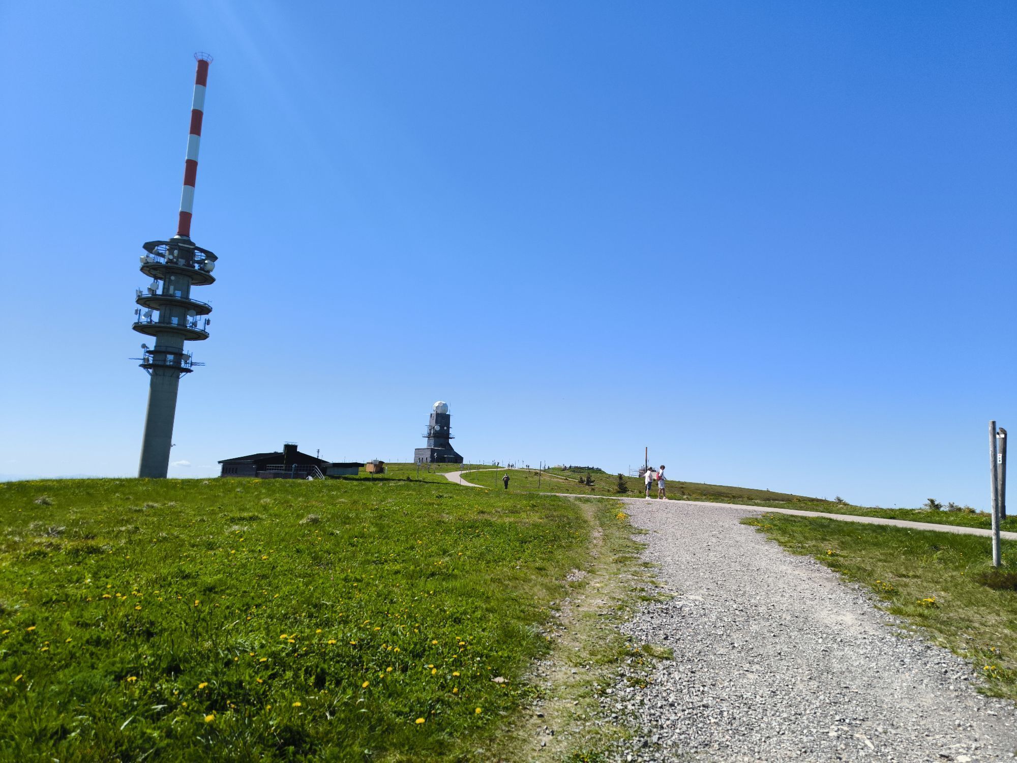
Feldbergturm Seebuck Gipfel
-
Todtnauberg - Pension Glöcklehof
-
Todtnauberg - Haus Keller
-
Feldberg - Falkau
-
Feldberg - Grafenmatt I
-
Altglashütten - Schwarzenbachlift
-
Seebuck Bergstation
-
Todtnauberg - Bucklift
-
Seebuck Talstation
-
Hofeck Talstation
-
Skilift Fischbach
-
Schluchsee - Rathaus
-
Schluchsee - Wiesengrundpark
-
Titisee - Hotel Brugger
-
Hinterzarten - Ferienhaus Carola
-
Hinterzarten - Adlerschanze
-
Hinterzarten - Adler-Skistadion
-
Feldberg - Opelhaus
-
Menzenschwander Hütte - Feldberg
-
Menzenschwand Hinterdorf
-
Bergstation Mösle - Menzenschwand
-
Skilift Schwinbach - Menzenschwand
-
Radon Revital Bad - Menzenschwand
-
Skilift Rehbach - Menzenschwand
-
Menzenschwander Hütte - Feldberg
-
Skilifte Stollenbach
-
Stollenbach
-
Todtnauer Hütte
-
Titisee - Fewo Titiseeblick
-
Feldberg - Altglashütten
-
Feldberg - Fahl
-
Rothaus - Brauerei
-
Rothaus - Sudhaus
-
Rothaus - Biergarten
-
Todtnauberg
-
Todtnauberg Stübenwasenlift
-
Todtnauberg
-
Dorf / Lenzkirch Saig Hochfirstweg
-
Alpen / Lenzkirch Saig Hochfirstweg
Popularne wycieczki w okolicy
-
4,8
Black Forest Highlands heritage trail - mills and saws in the gorge
średniWędrówka 7,42 km -
3,7
Seerundweg Titisee
światłoWędrówka 5,84 km -
4,1
Höhenklimaweg Titisee-Rundweg
średniWędrówka 7,44 km -
3,7
From Titisee to the Hochfirst with its stunning views
średniWędrówka 10,6 km -
3,8
Premium Hiking Trail- Säbelthomaweg
średniTrasa tematyczna 10,9 km -
3,7
Rundweg zum Todtnauer Wasserfall
światłoWędrówka 6,06 km -
5,0
Premium Hiking Trail - Menzenschwander Geißenpfad
średniTrasa tematyczna 10,3 km -
4,8
Sonnenaufgang und Feldbergsteig
średniWędrówka 11,6 km -
3,4
Auf ruhigen Wegen von Todtnauberg nach Todtnau
średniWędrówka 10,2 km -
4,0
Altitude on the Herzogenhorn
średniWędrówka 11,1 km

Wędrówki i tropienie


Nie przegap ofert i inspiracji na następne wakacje
Twój adres e-mail została dodana do listy mailingowej.