







Rear Wiesental

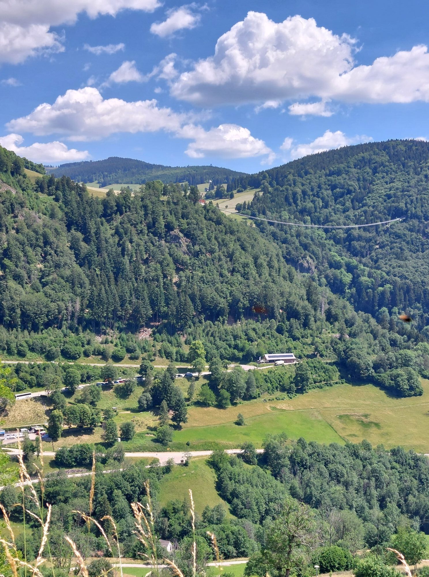
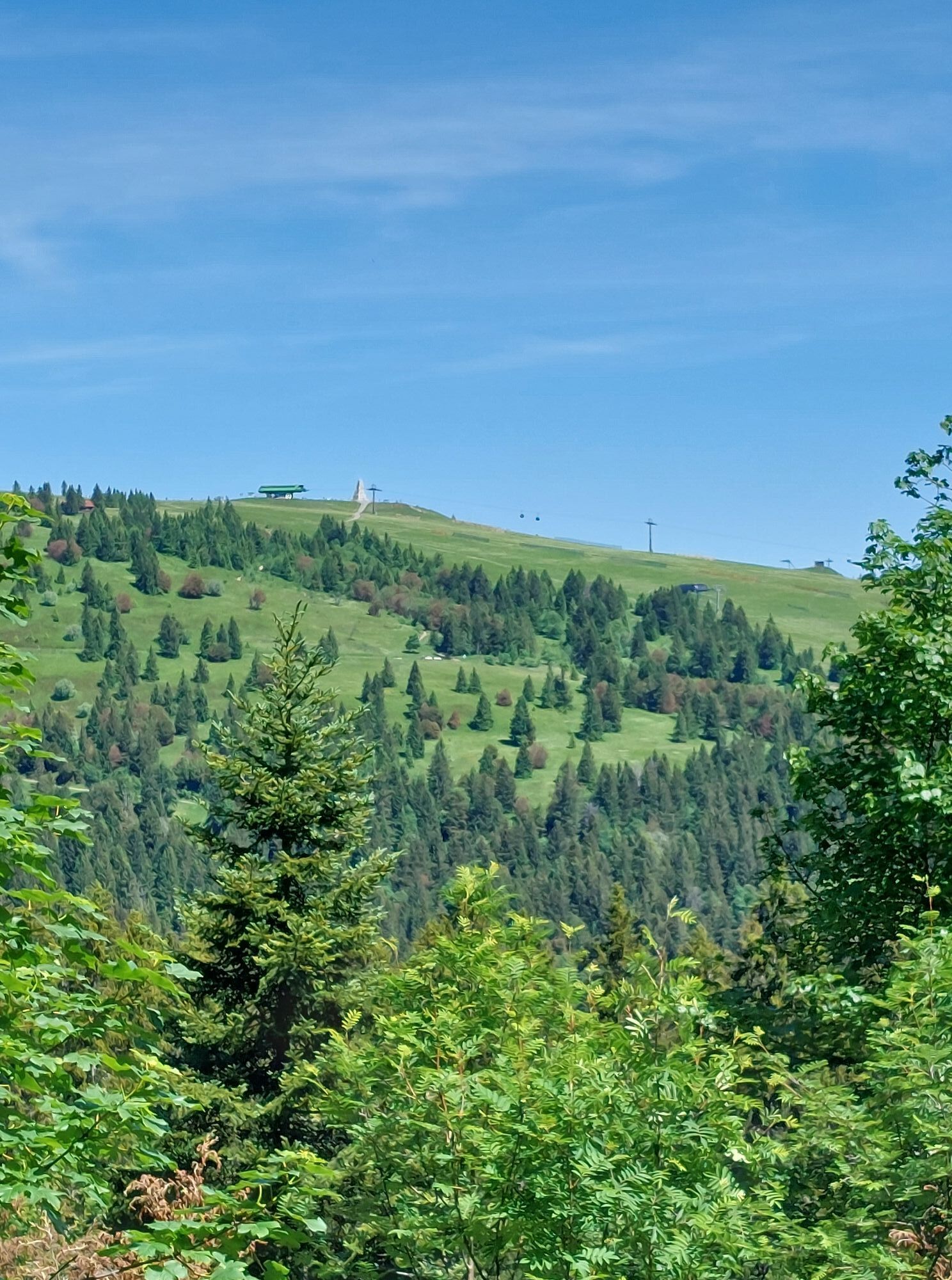
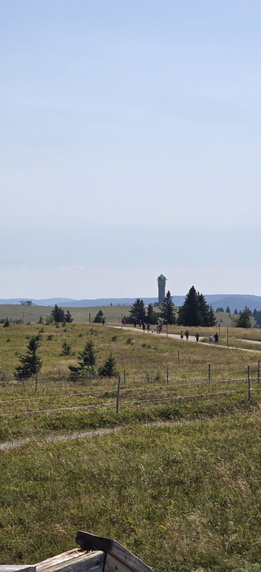


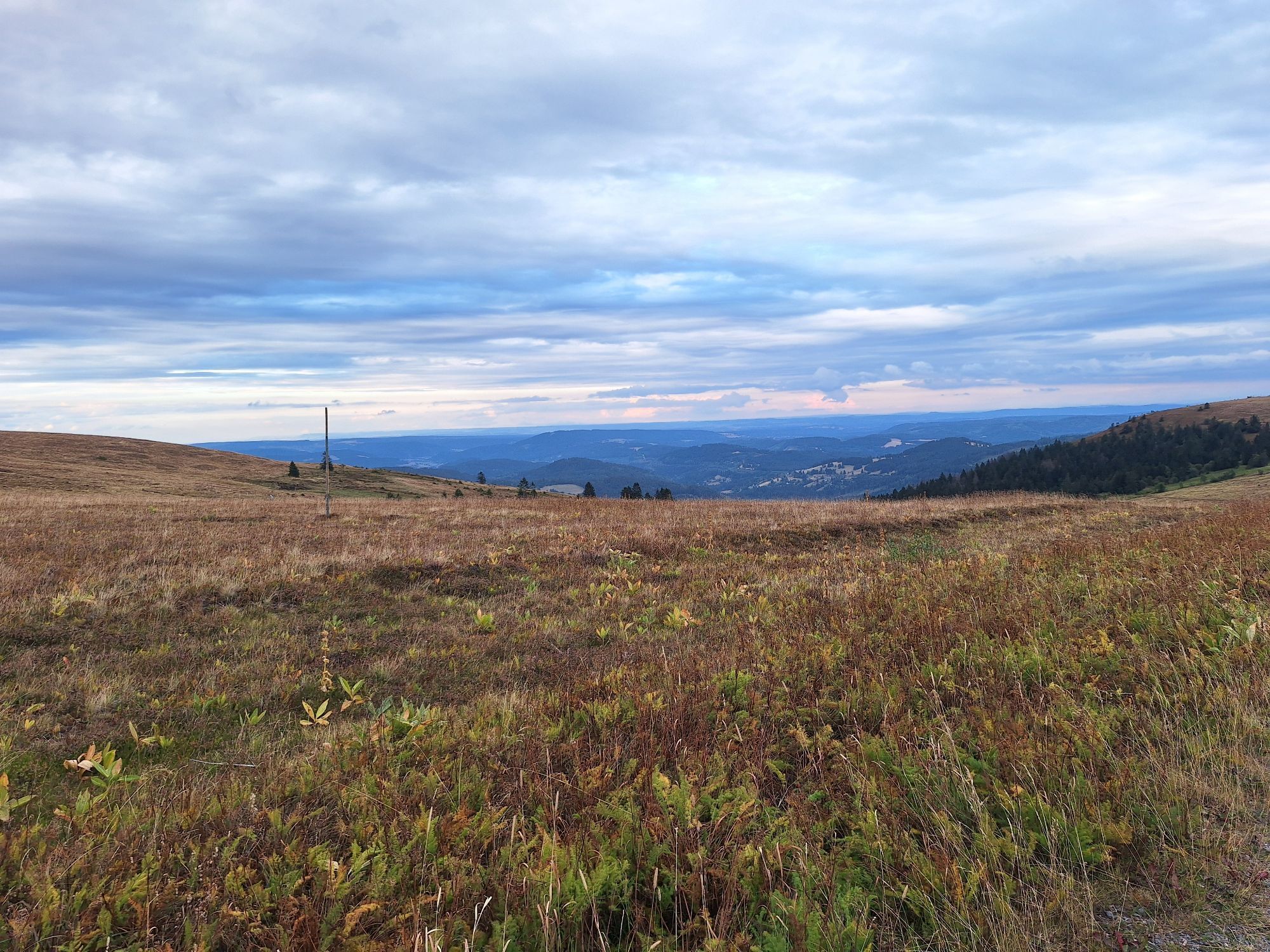
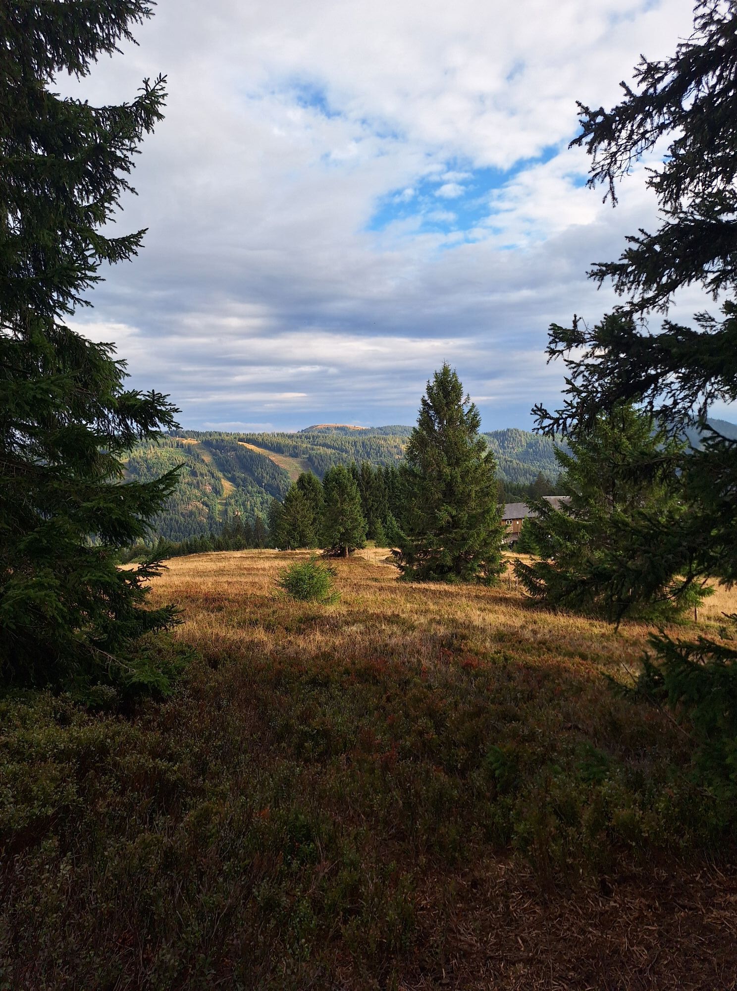
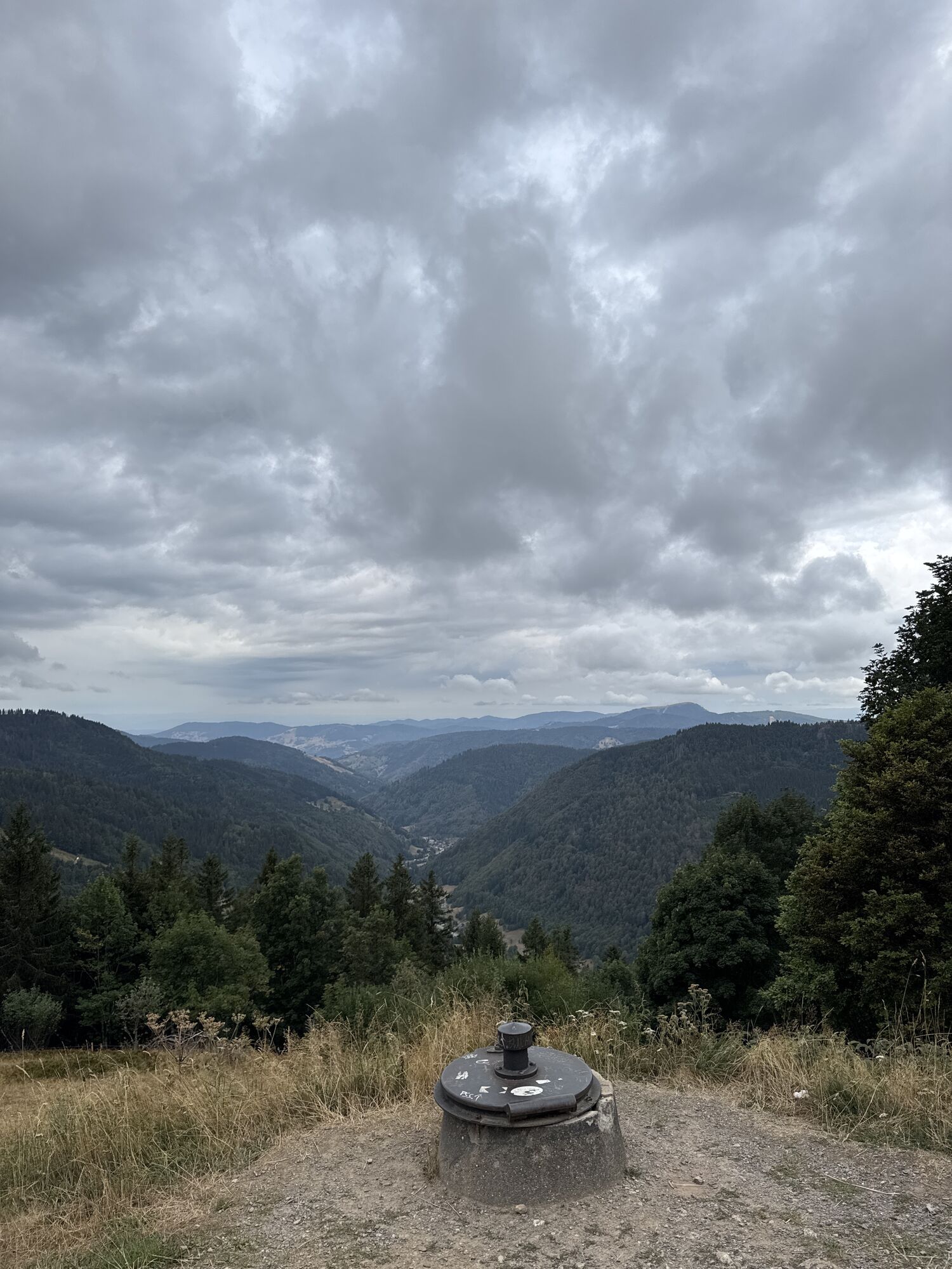
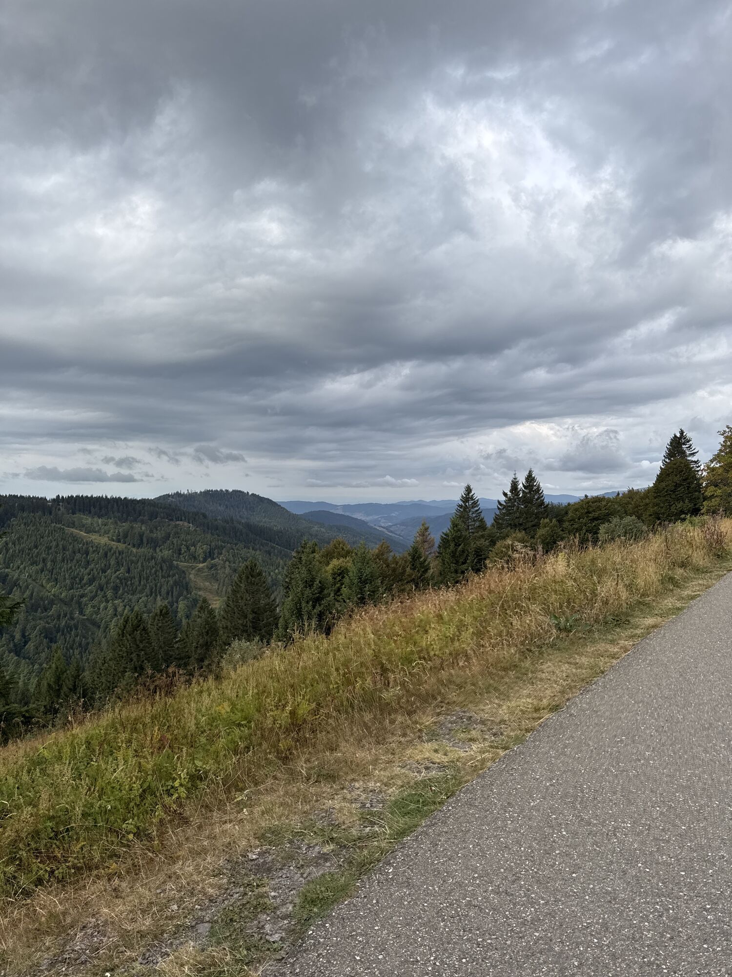
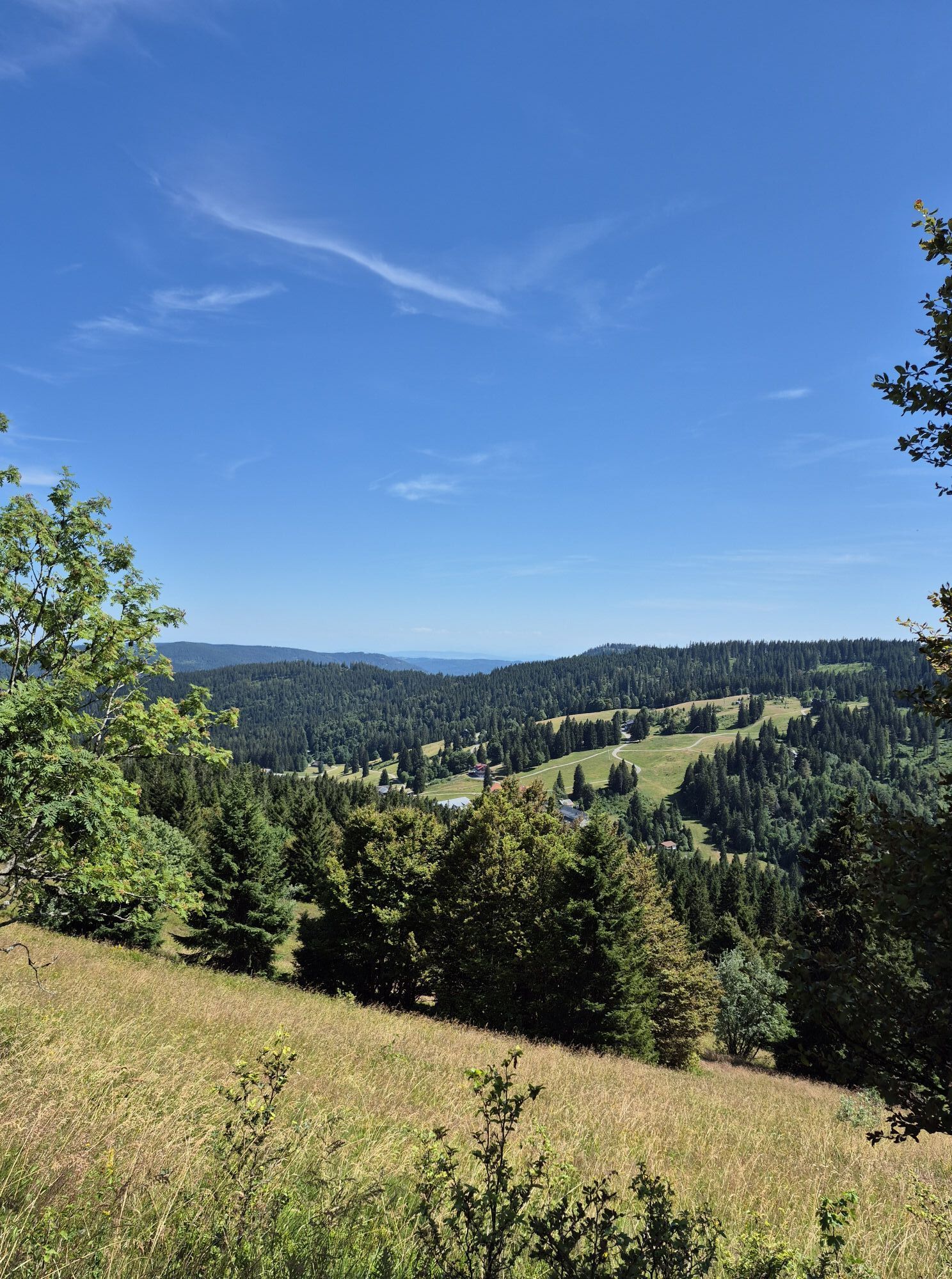
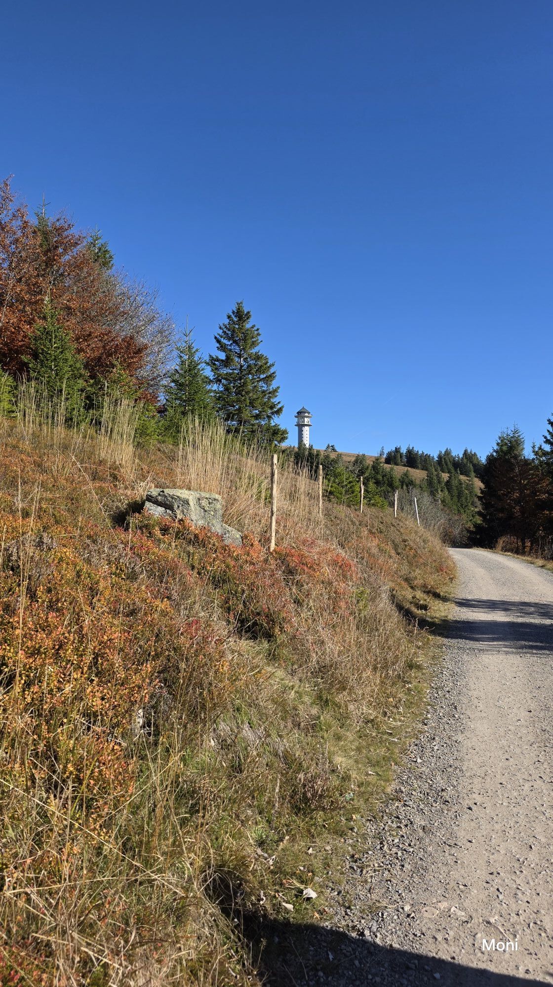
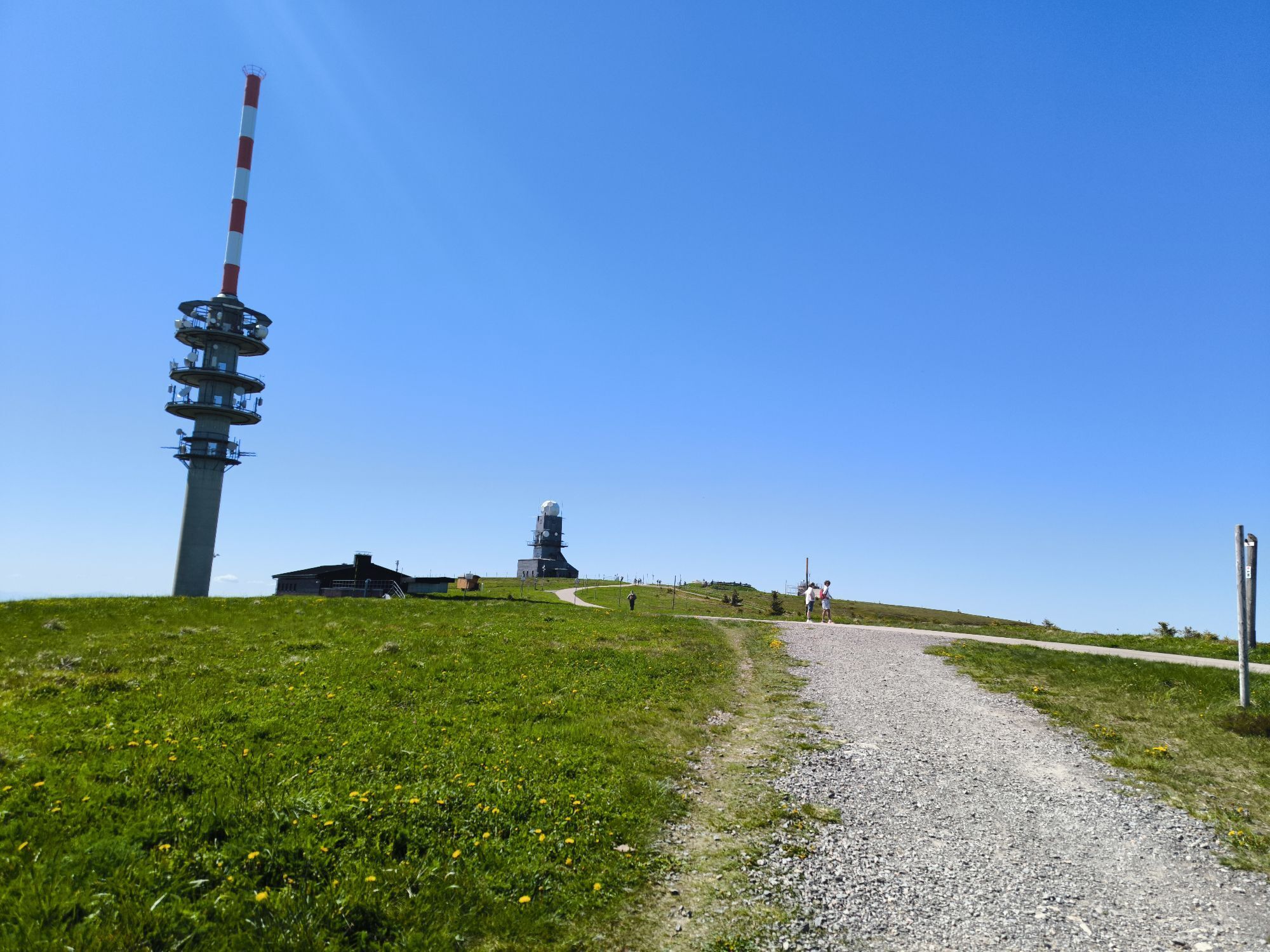
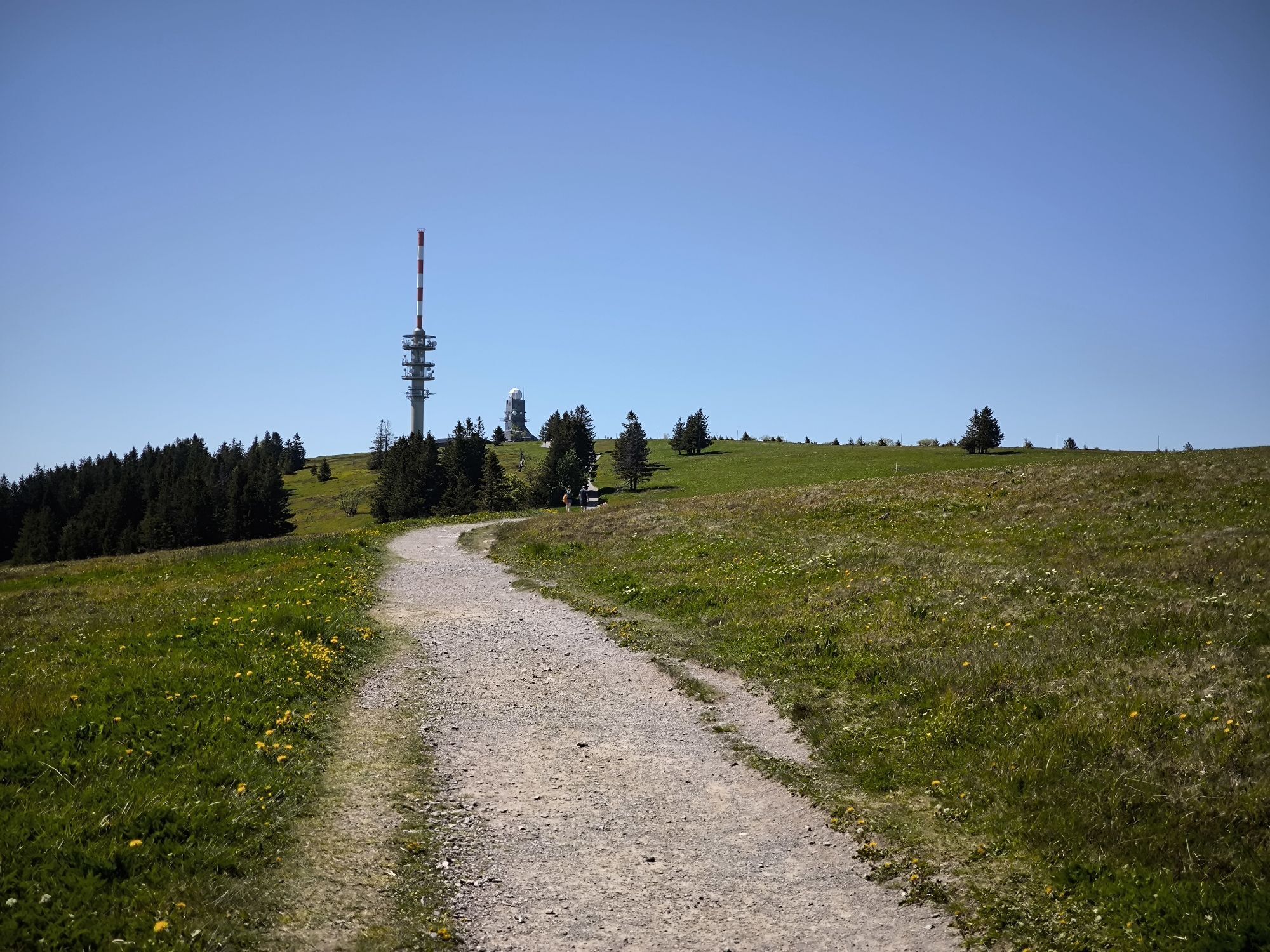
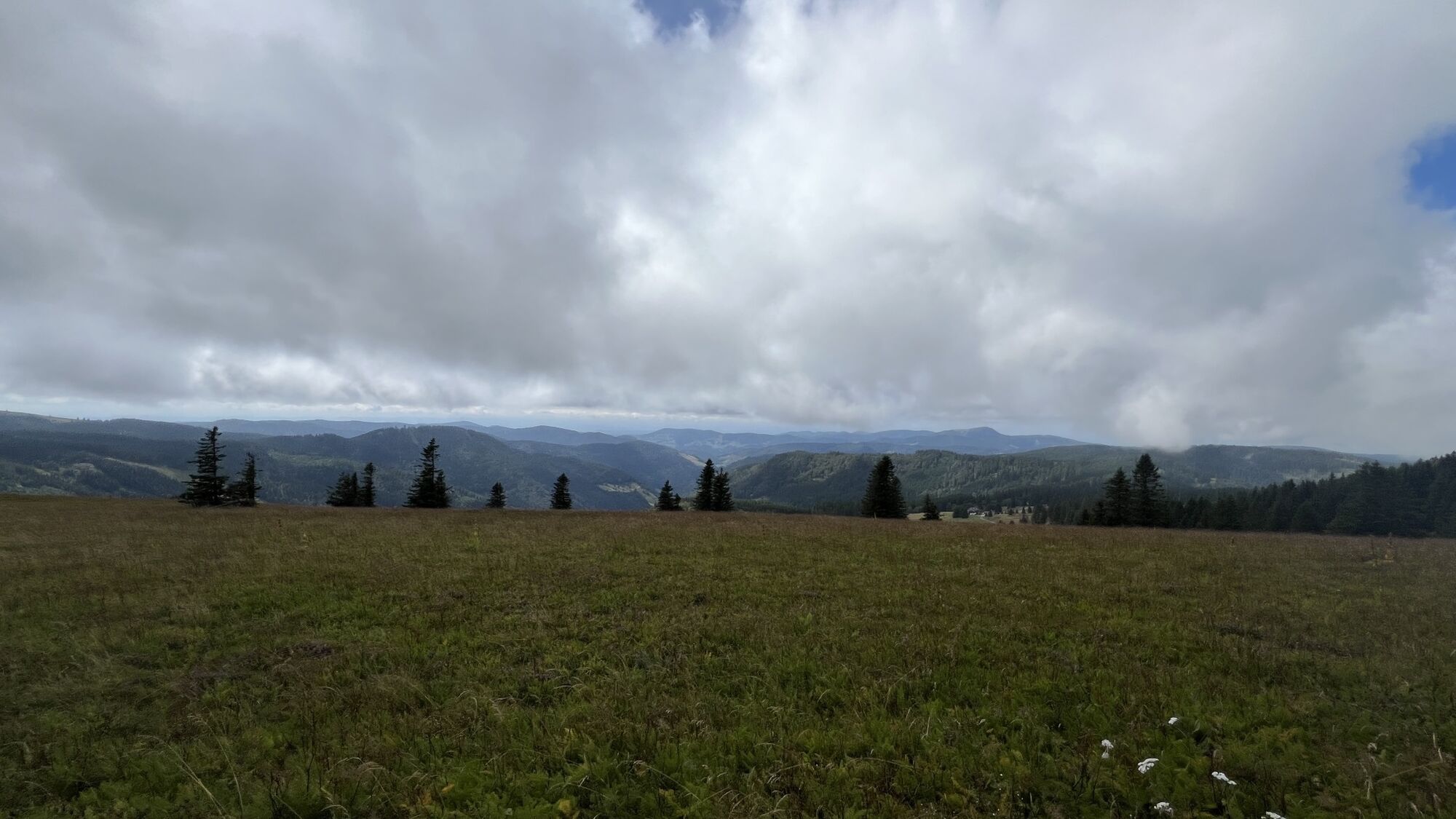
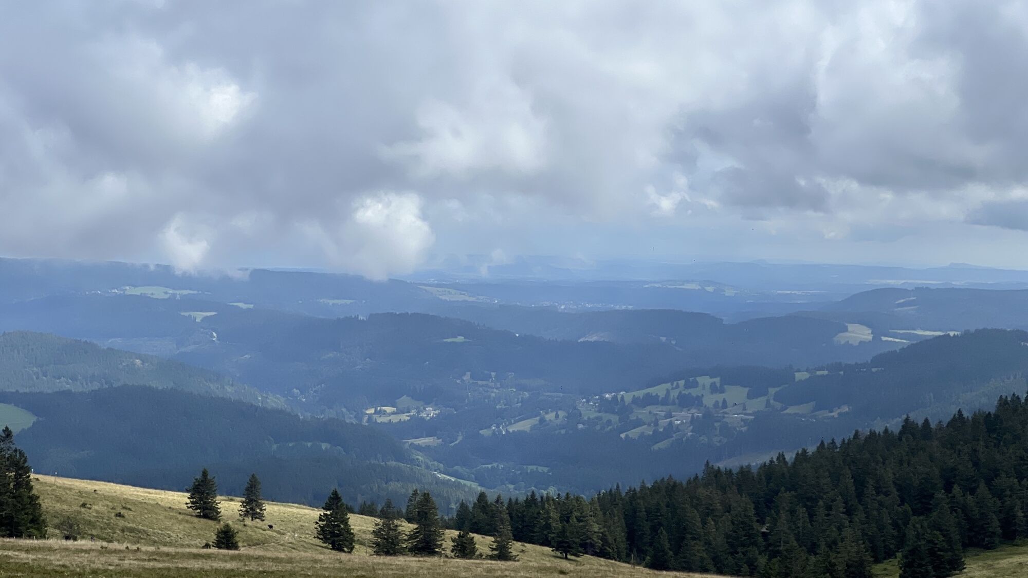
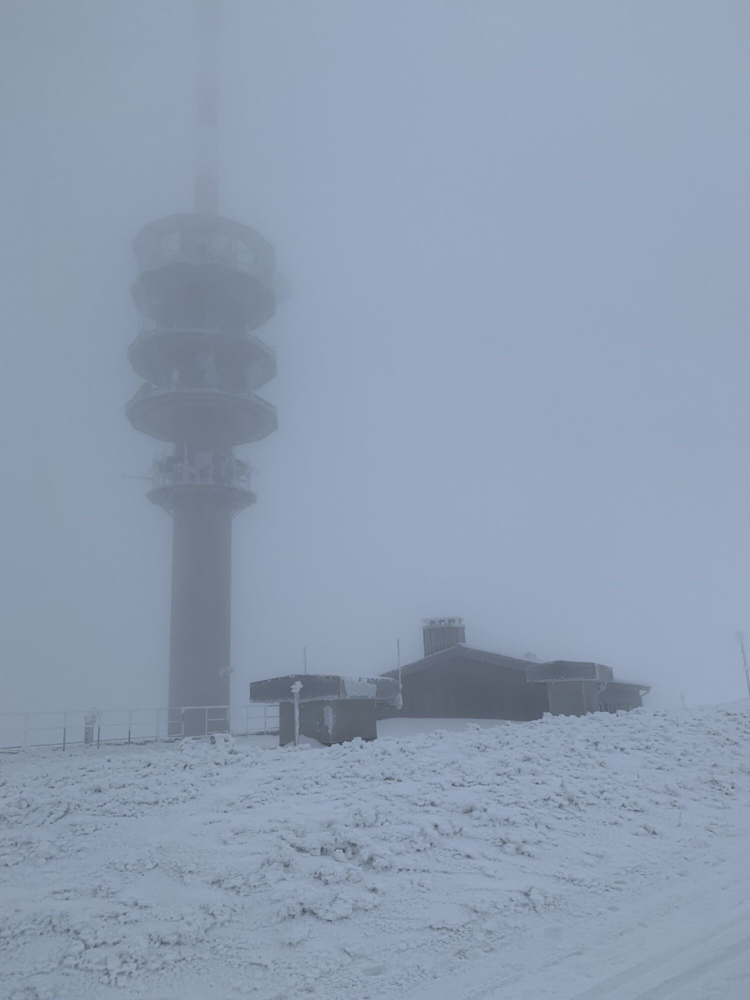
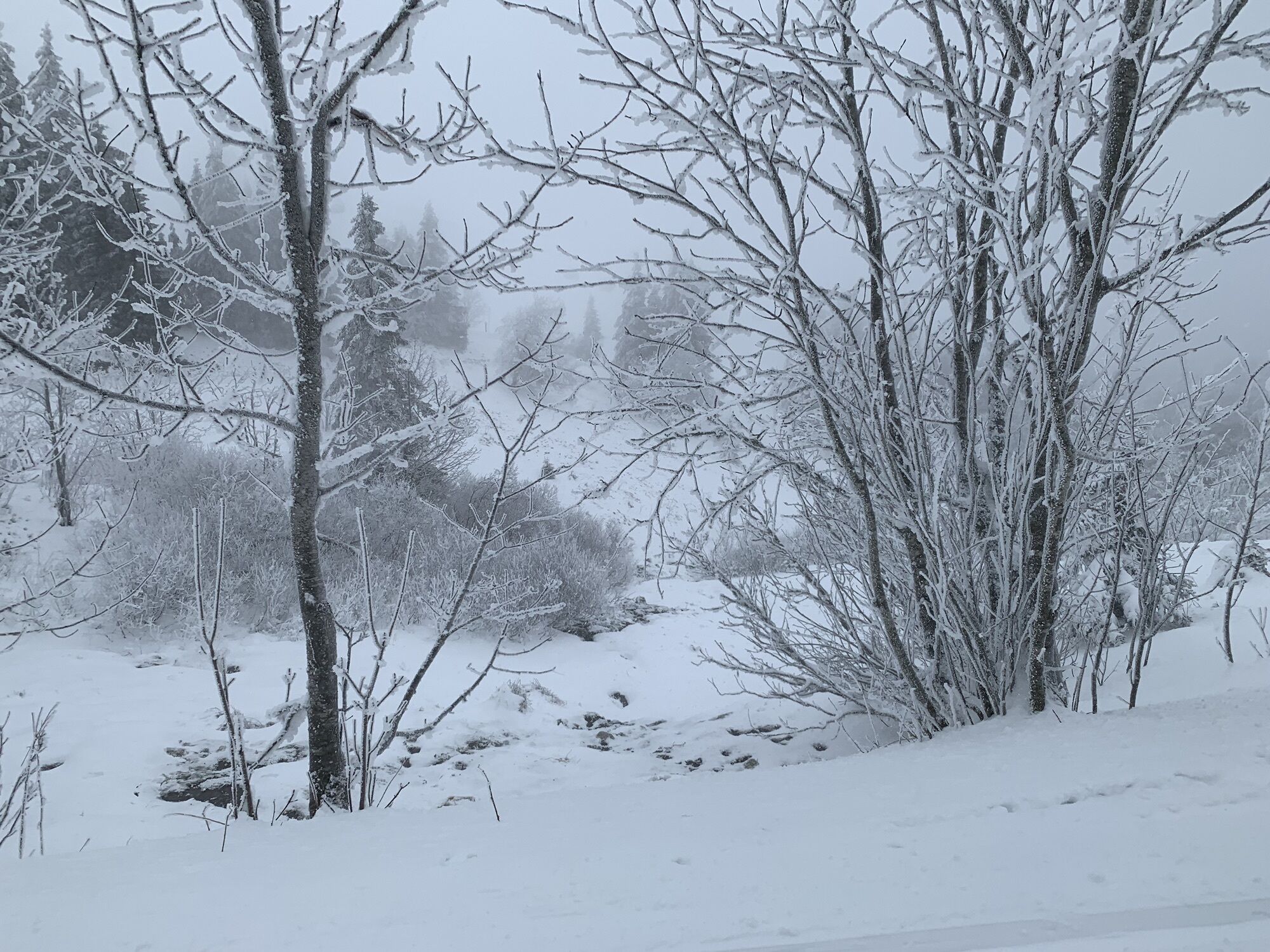

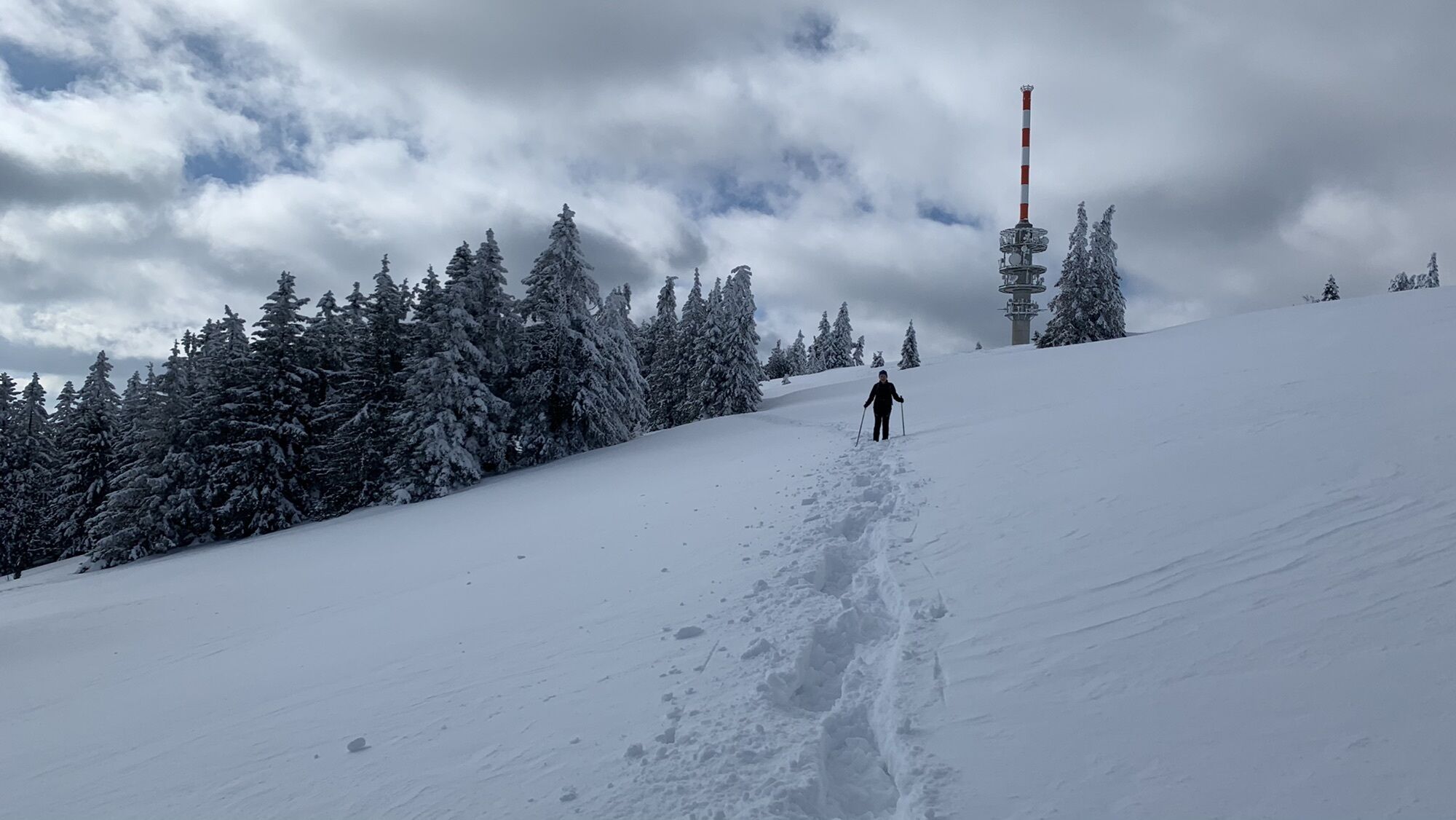
This demanding gravel route takes you over the highest peaks of the High Black Forest – from the Feldberg pass up to the Herzogenhorn with spectacular panoramic views, further through the idyllic Wiesental...
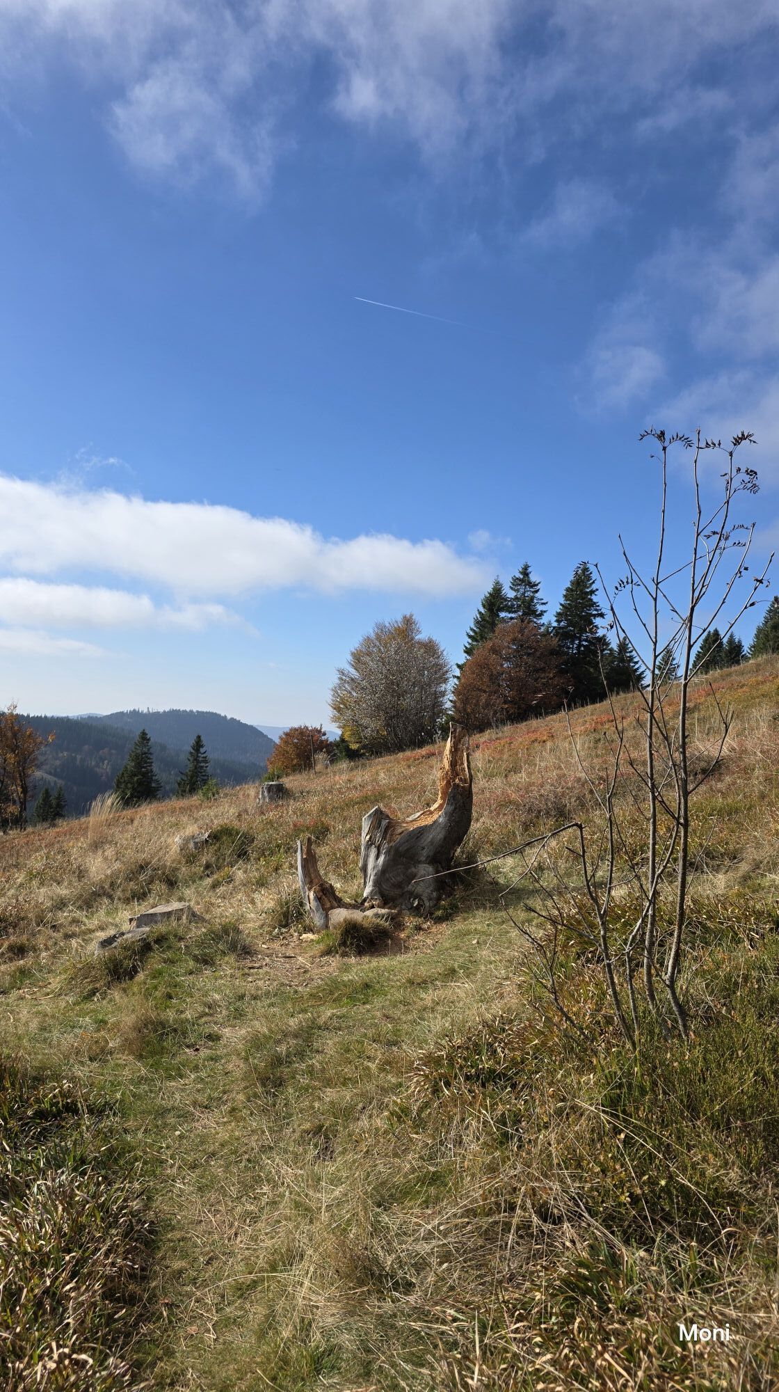
This demanding gravel route takes you over the highest peaks of the High Black Forest – from the Feldberg pass up to the Herzogenhorn with spectacular panoramic views, further through the idyllic Wiesental and over Todtnau, Knöpflesbrunnen and Muggenbrunn back to the Feldberg. Along the way, you can expect fast descents, scenic climbs, and cozy mountain inns.

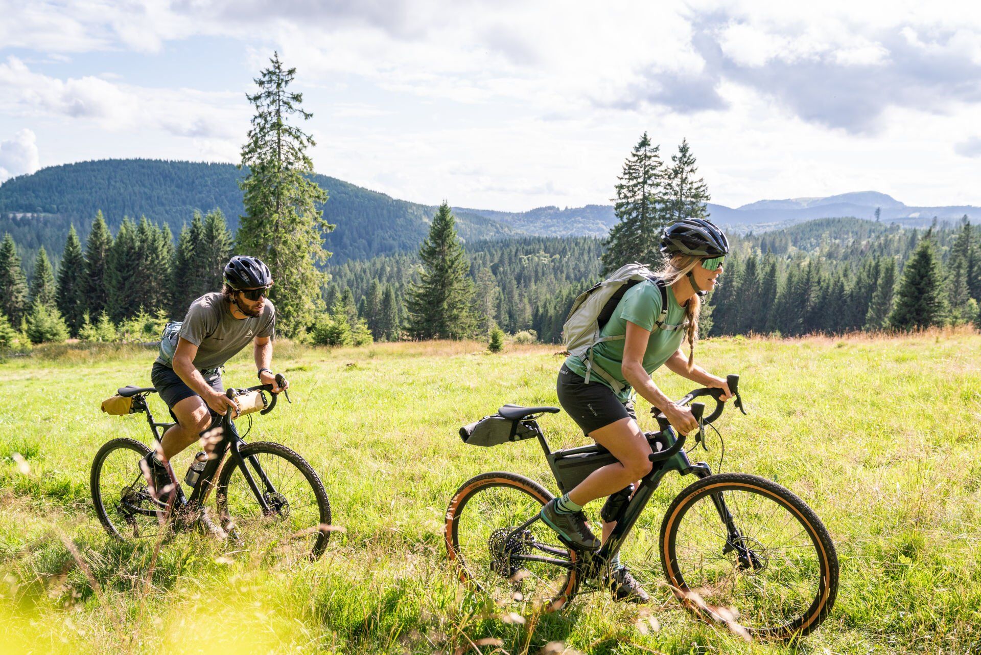
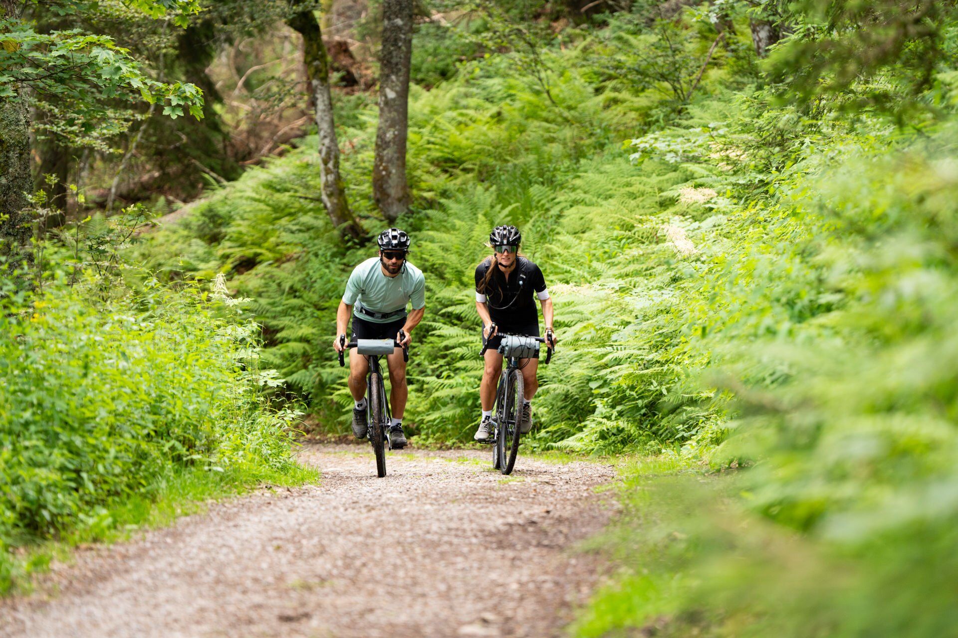
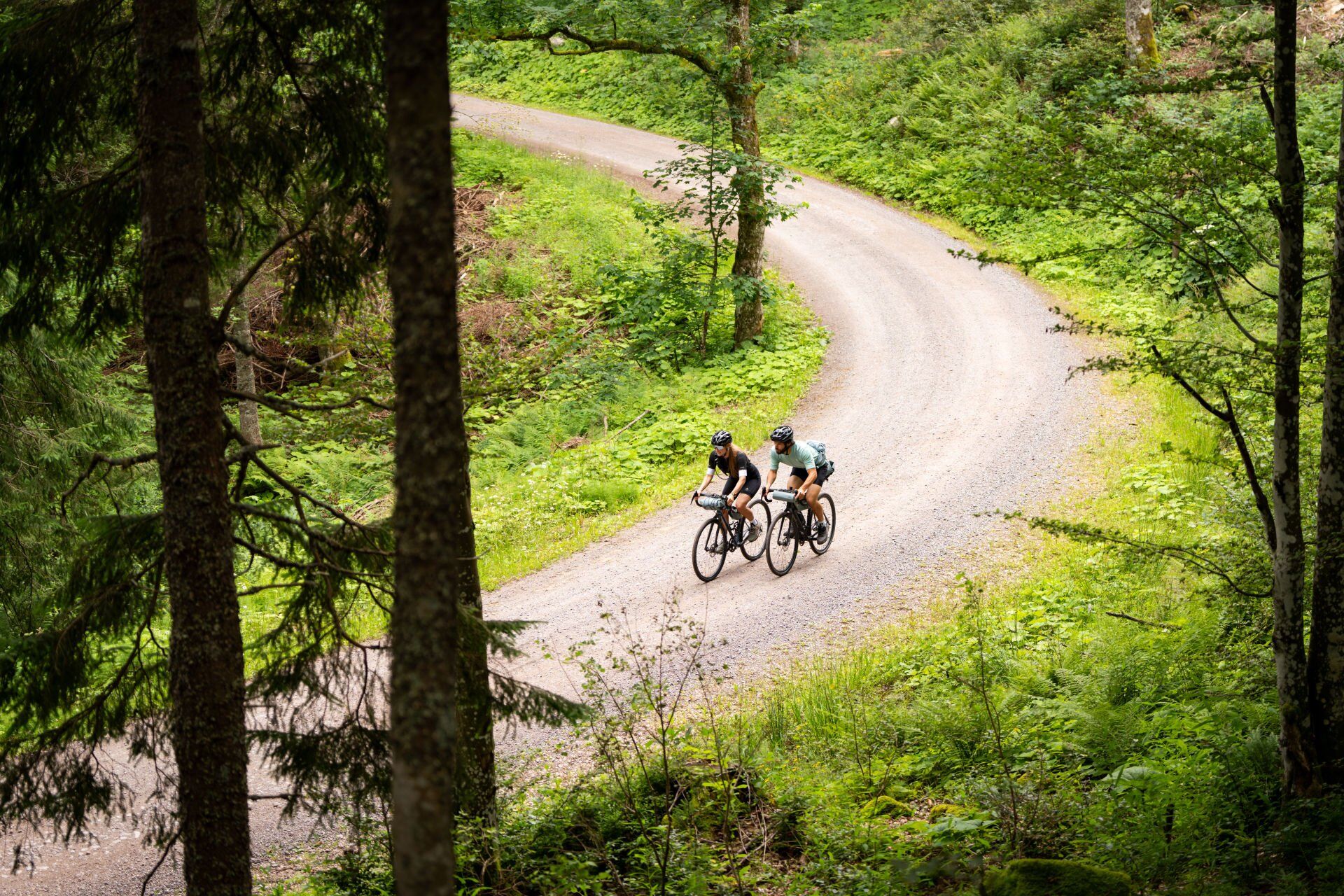

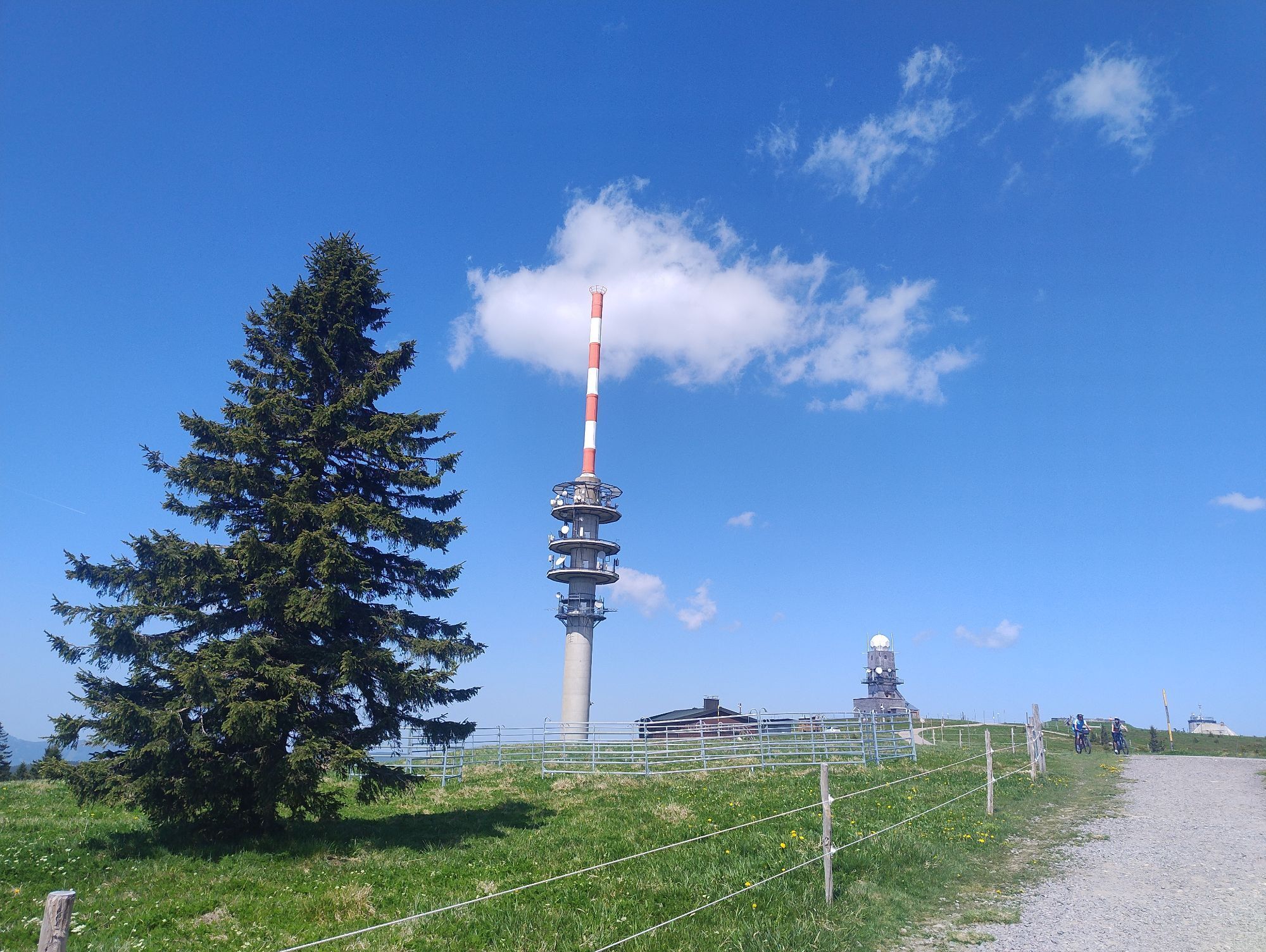
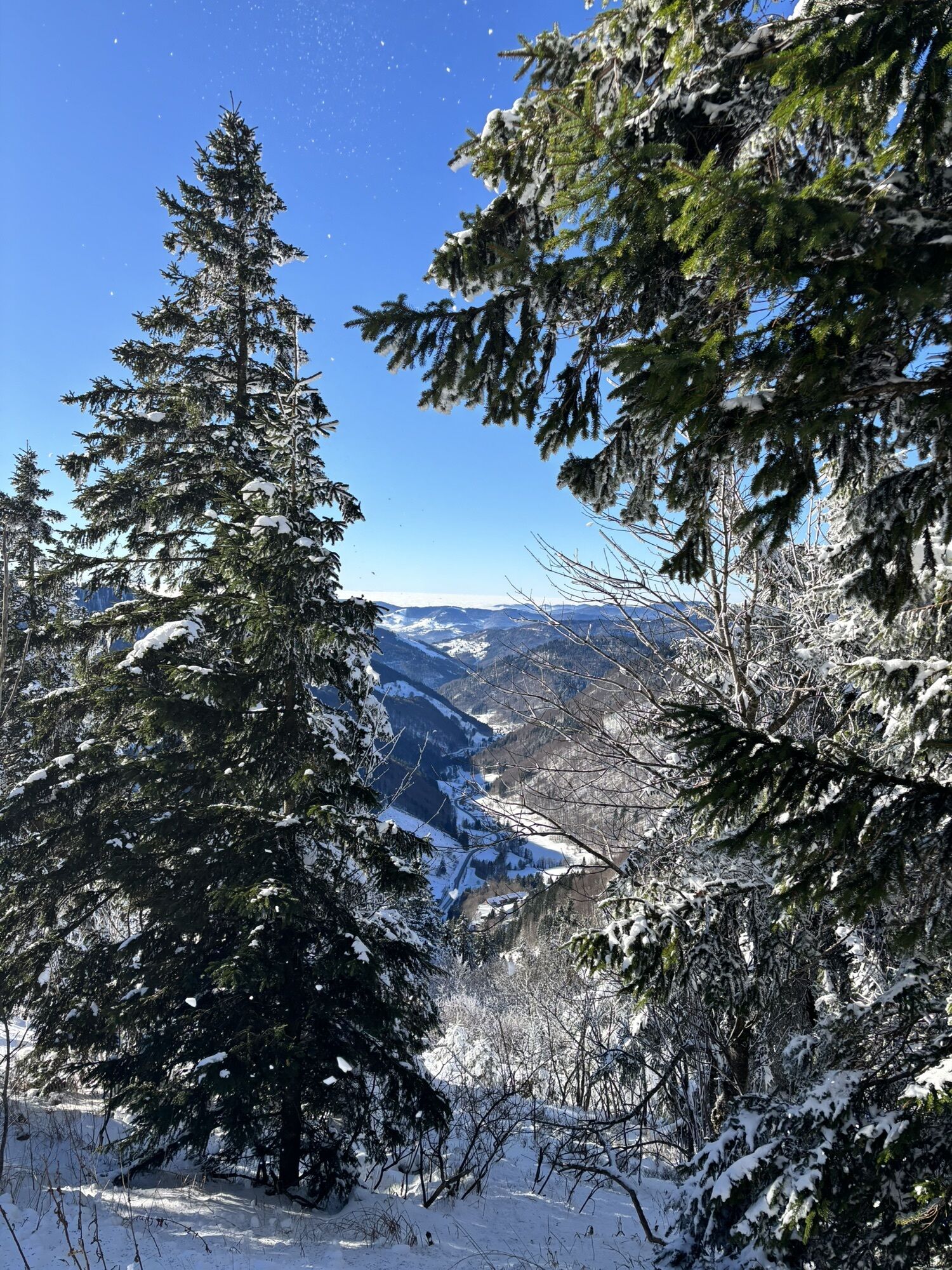
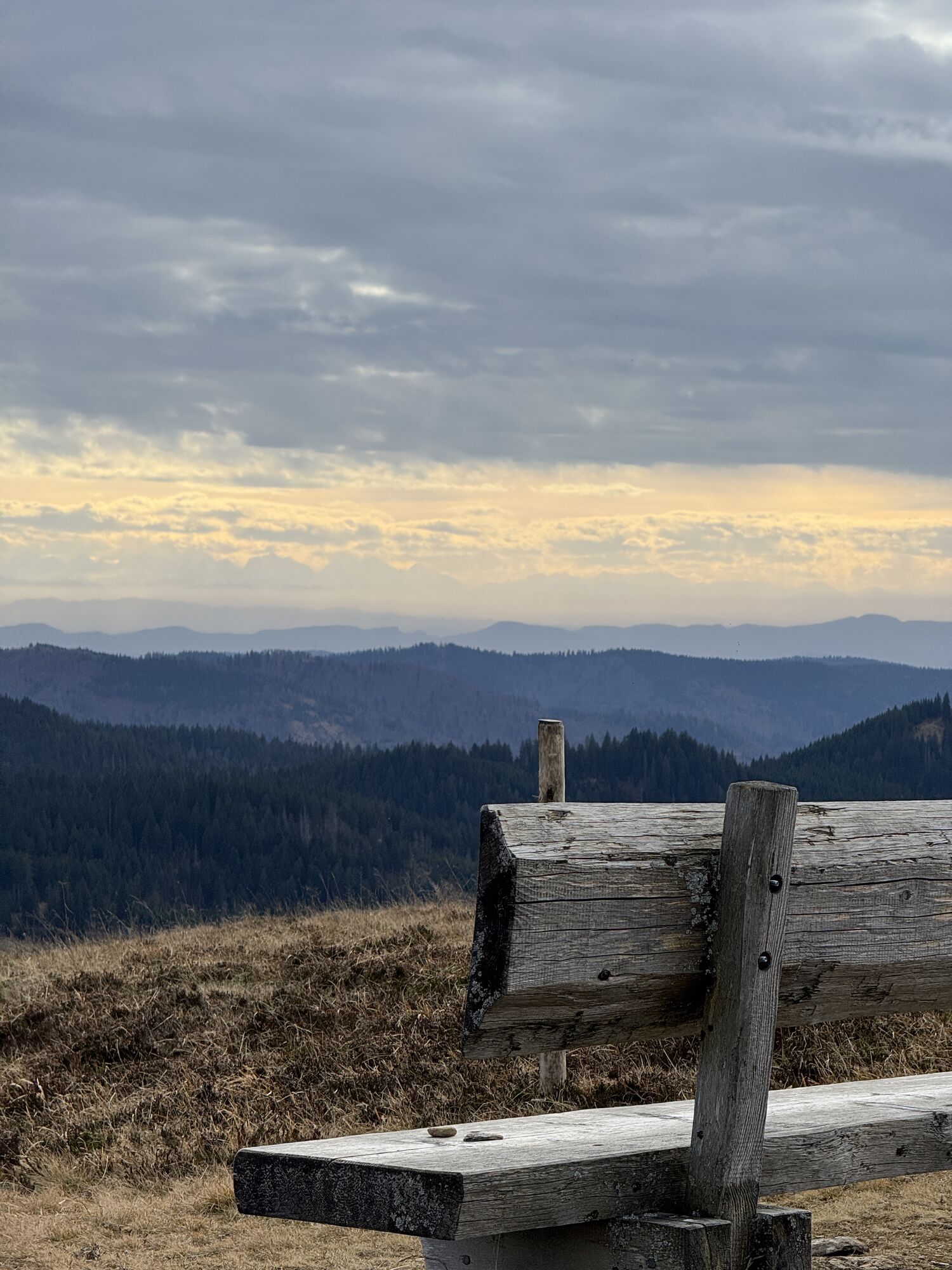
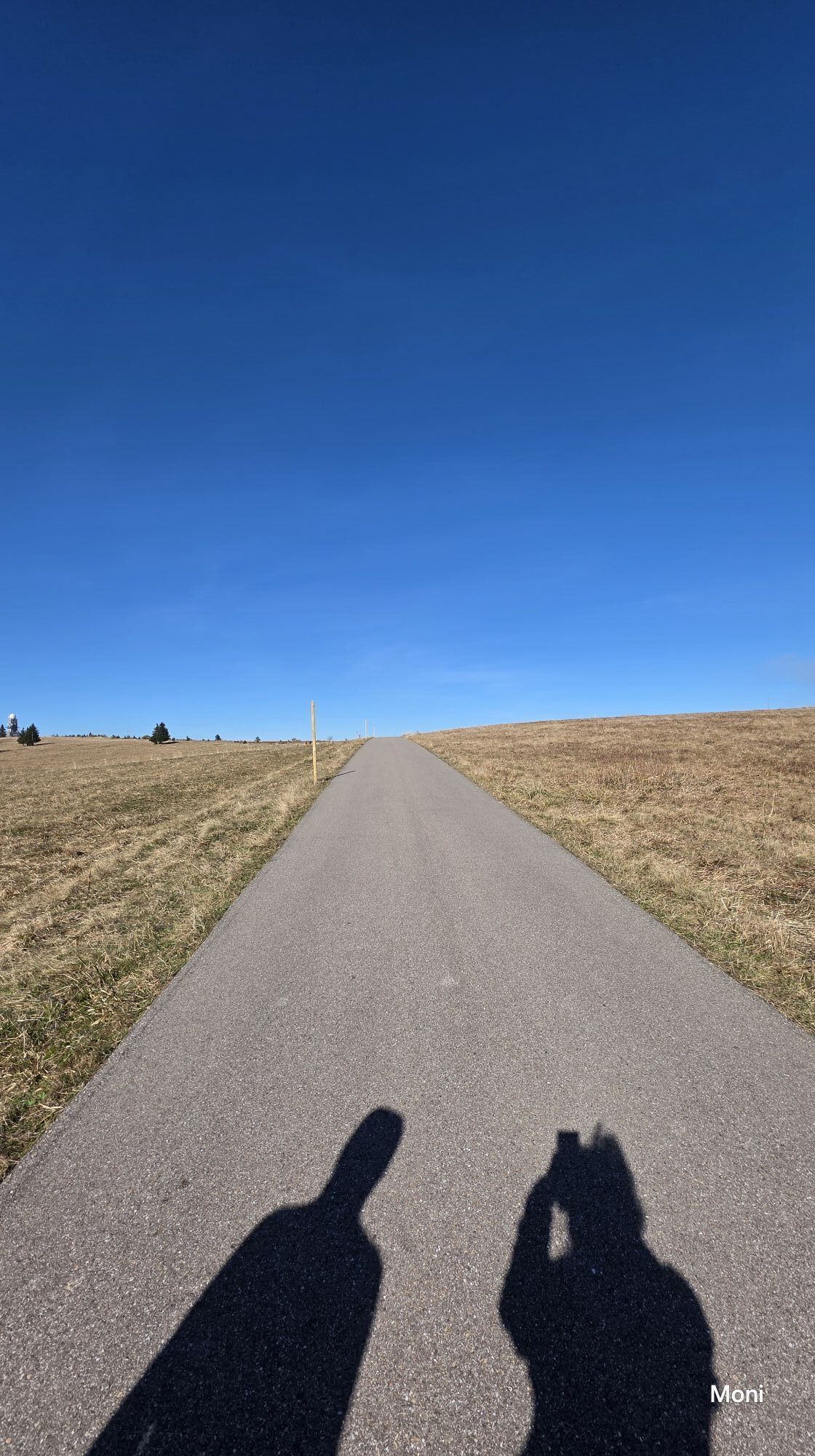
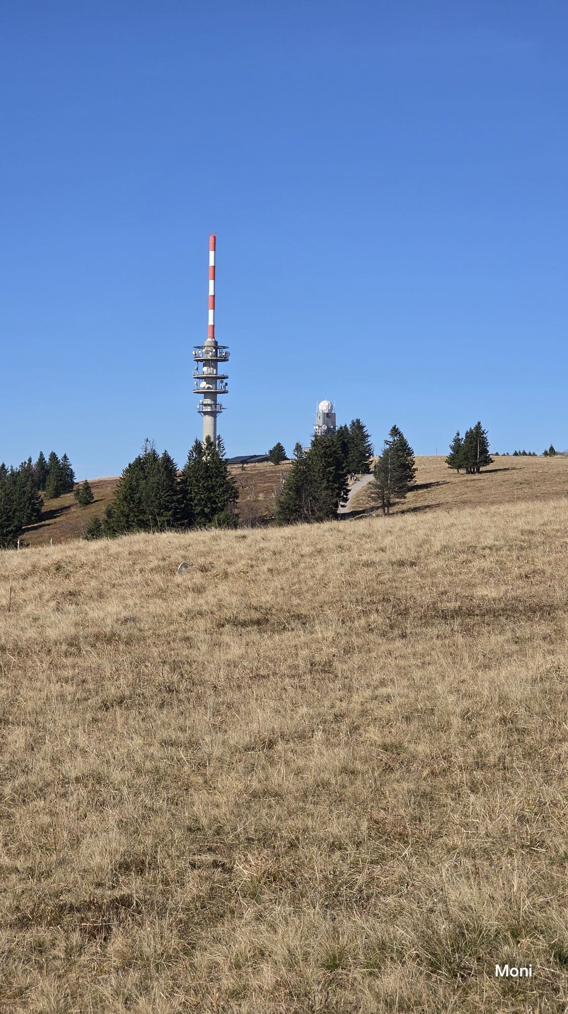
The start of the route is located at the Feldberg pass. From here, you first follow the beautiful, small road up to the Herzogenhorn. From there, you can overlook the entire High Black Forest and already look forward to the long descent to Todtnau. Shortly before Bernauer Kreuz, there is a short climb in the descent, then you roll comfortably down into the Wiesental. After passing through Todtnau, it goes a bit steeper uphill to the Knöpflesbrunnen. A rest is recommended here before continuing with ups and downs to Muggenbrunn. From here, it goes uphill to the Feldberg summit. If the route is planned correctly, you watch the sunset here on the highest peak of Baden-Württemberg and then roll back to the Feldberg pass in the last evening light.
Tak
A sip from the Tholus fountain on the descent to Todtnau is said to help against tired legs. Those who want to enjoy one of the best pizzas in the region or visit the photo exhibition by Michael Corona are exactly right in Todtnau. Those who want to be on the Feldberg at sunset should pack a bike light.
Kamery internetowe z trasy
-
Feldbergturm Seebuck Gipfel
-
Todtnauberg - Pension Glöcklehof
-
Feldberg - Grafenmatt I
-
Seebuck Bergstation
-
Todtnauberg - Bucklift
-
Belchenbahn Talstation
-
Seebuck Talstation
-
Hofeck Talstation
-
Talstation Winkellift
-
Heidstein
-
Skilift Wiedenereck
-
Feldberg - Opelhaus
-
Menzenschwander Hütte - Feldberg
-
Menzenschwand Hinterdorf
-
Bergstation Mösle - Menzenschwand
-
Skilift Schwinbach - Menzenschwand
-
Menzenschwander Hütte - Feldberg
-
Skilifte Stollenbach
-
Scheuermatthof
-
Schönau im Schwarzwald
-
Stollenbach
-
Haldenköpfle - Talstation Lift 2
-
Todtnauer Hütte
-
Haldenköpfle - Talstation Lift 1
-
Haldenköpfle - Talstation Lift 1
-
Feldberg - Fahl
-
Todtnauberg
-
Todtnauer Hasenhornturm
-
Todtnauer Hasenhornturm
-
Todtnauberg Stübenwasenlift
-
Todtnauberg

Popularne wycieczki w okolicy
-
4,7
Black Forest Highlands heritage trail - mills and saws in the gorge
średniWędrówka 7,42 km -
4,2
Belchensteig
średniWędrówka 14,8 km -
4,3
Ravennaschlucht
Wędrówka 6,90 km -
4,8
Sonnenaufgang und Feldbergsteig
średniWędrówka 11,6 km -
3,7
Premium Hiking Trail- Säbelthomaweg
średniTrasa tematyczna 11,3 km -
4,9
Todtmoos – Wanderung: Genießerpfad Lebküchlerweg
średniWędrówka 12,8 km -
4,7
Premium Hiking Trail - Menzenschwander Geißenpfad
średniTrasa tematyczna 9,78 km -
4,0
Altitude on the Herzogenhorn
średniWędrówka 11,1 km -
3,7
Rundweg zum Todtnauer Wasserfall
światłoWędrówka 6,06 km -
3,4
Auf ruhigen Wegen von Todtnauberg nach Todtnau
średniWędrówka 10,2 km
Wędrówki i tropienie


Nie przegap ofert i inspiracji na następne wakacje
Twój adres e-mail została dodana do listy mailingowej.





