







"Gipfeltrail" Black Forest Highlands summit trail - day tour
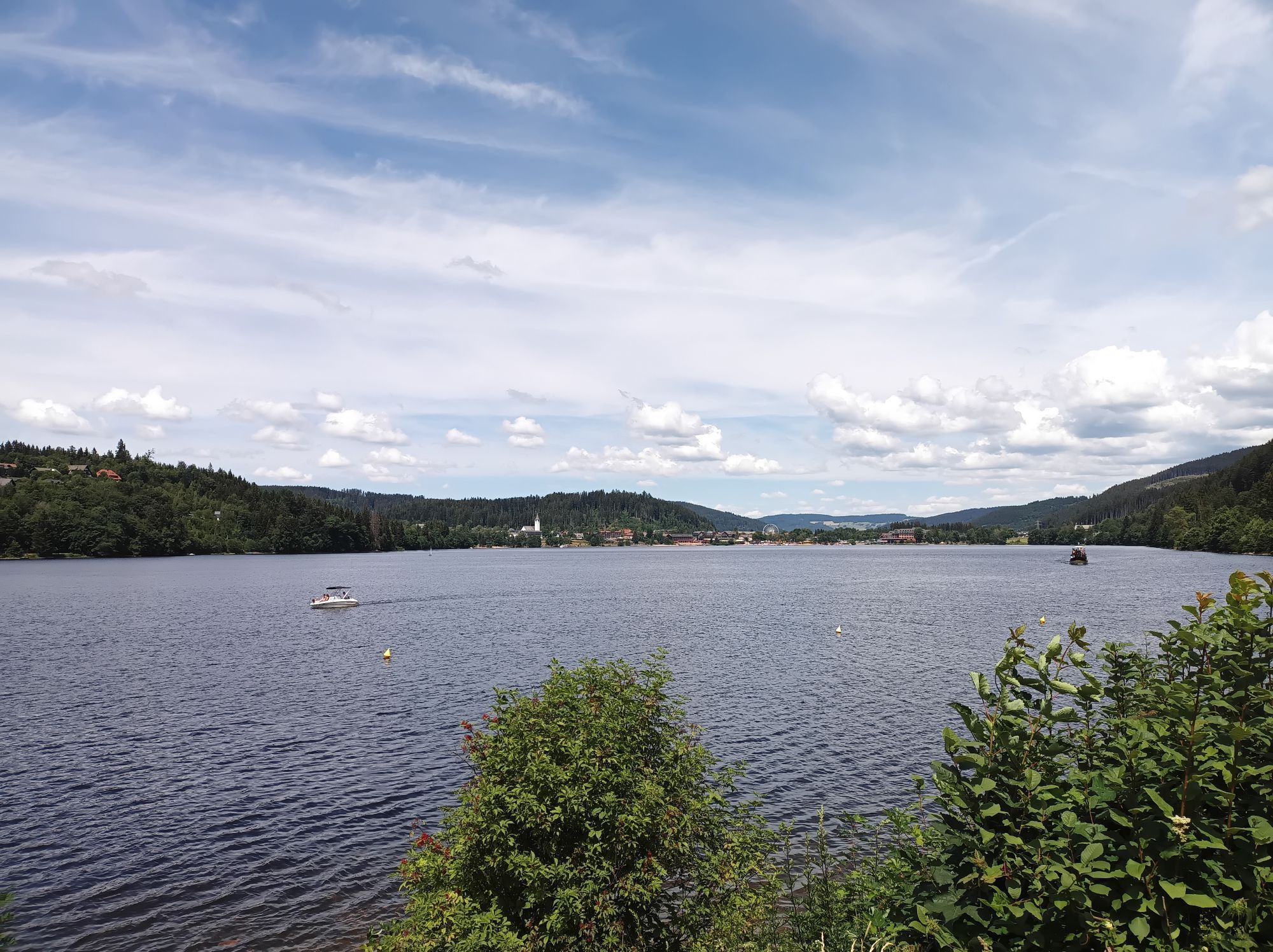
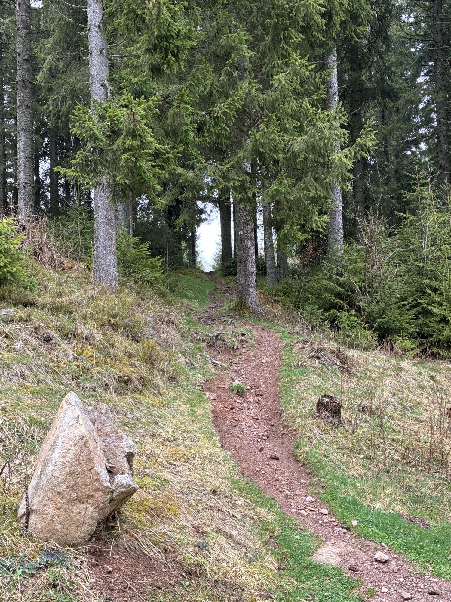
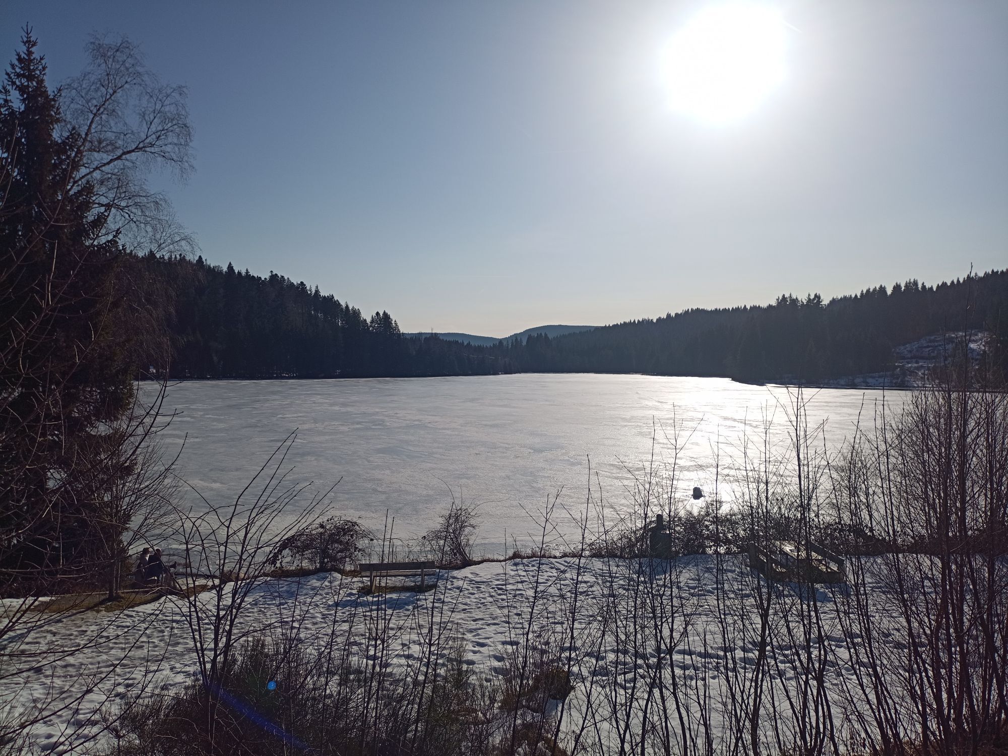
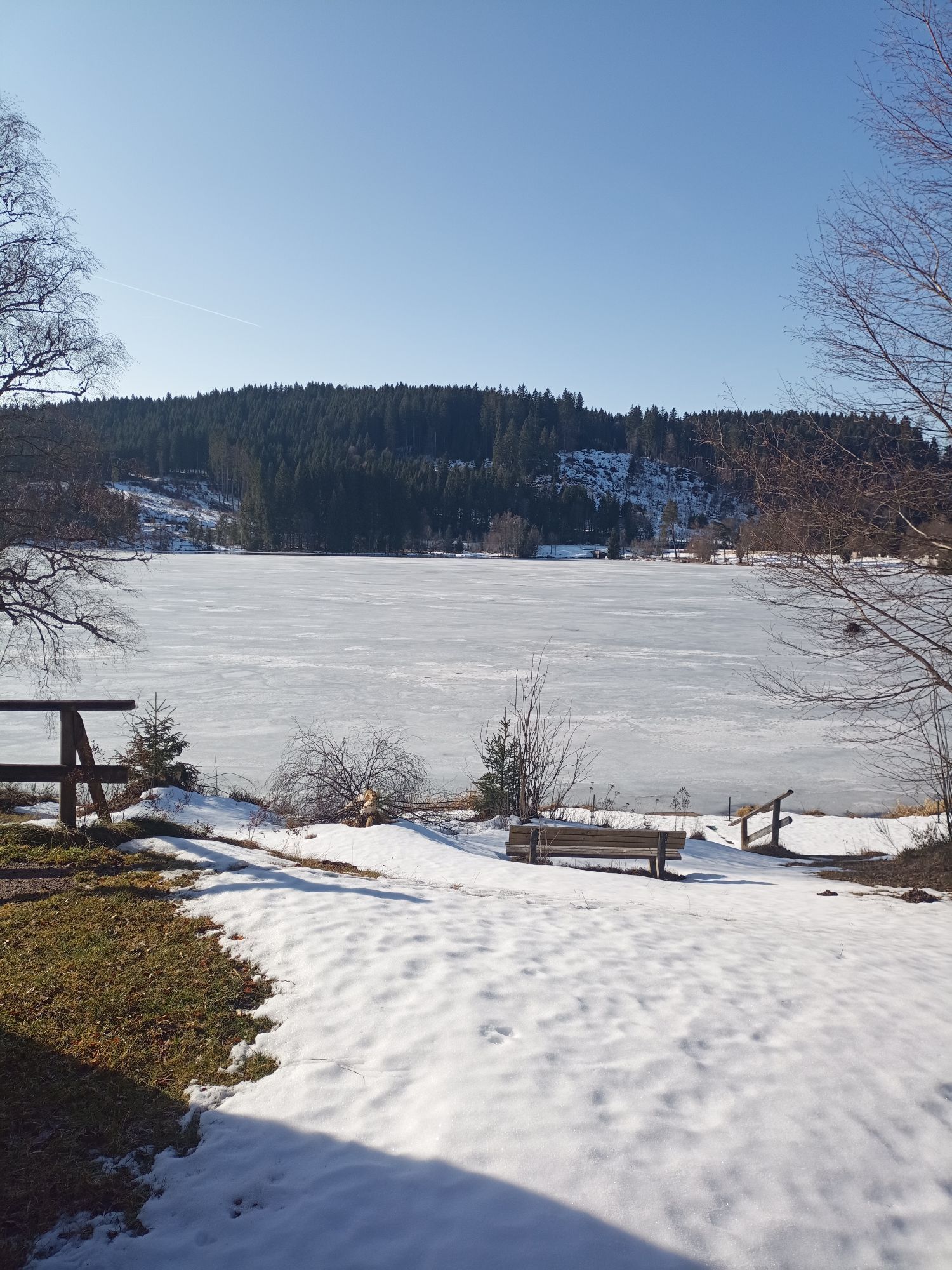
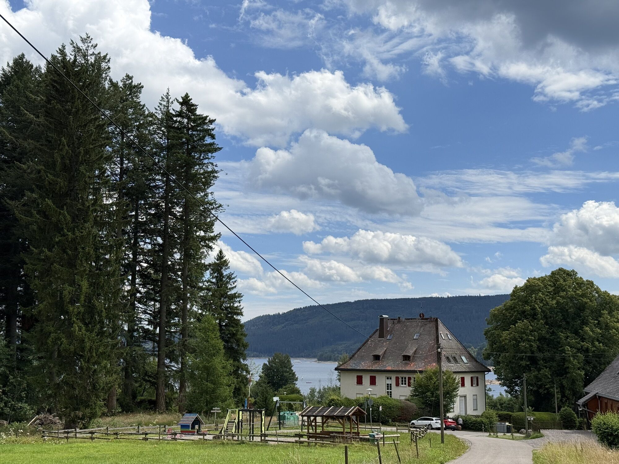
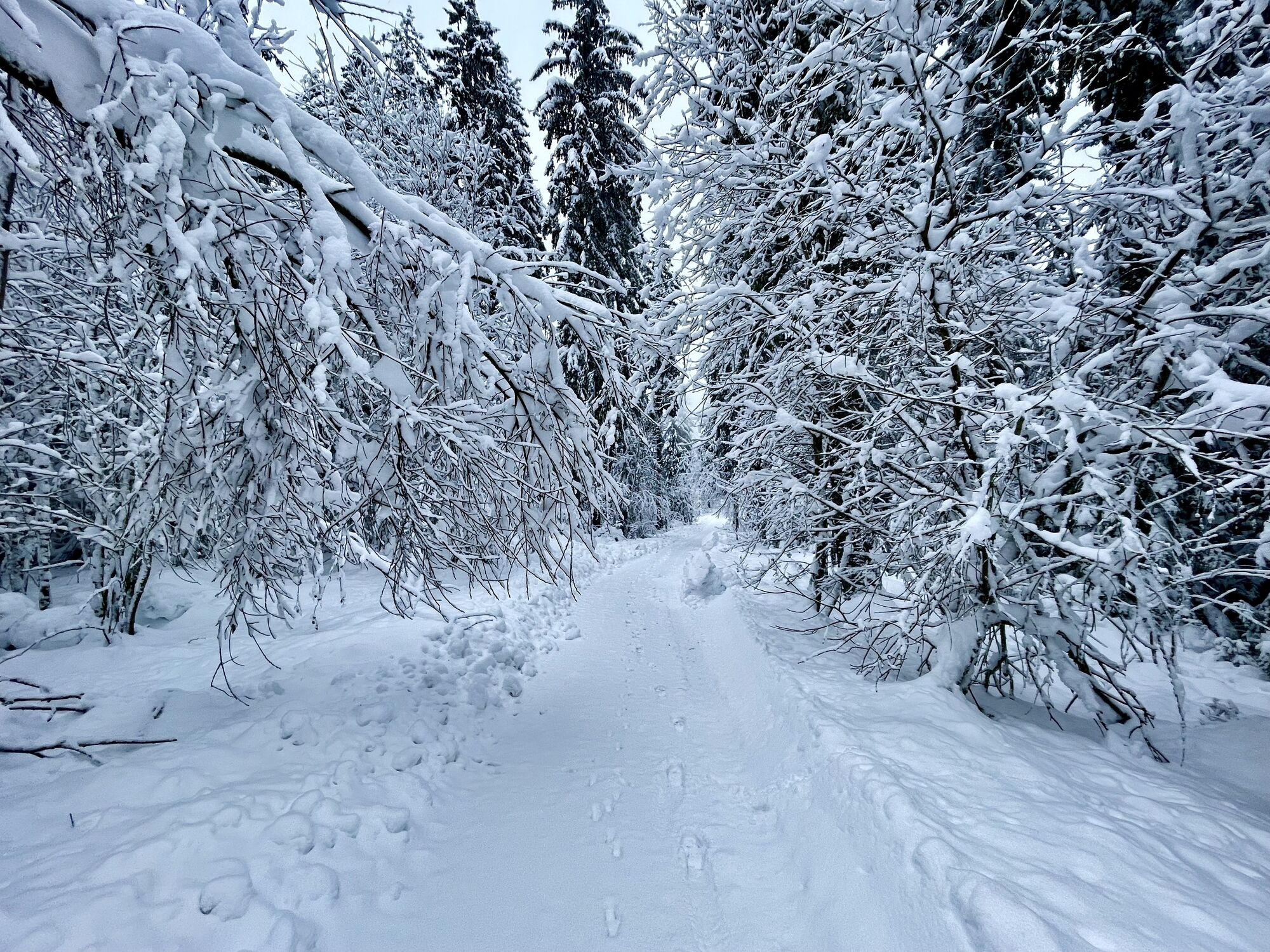
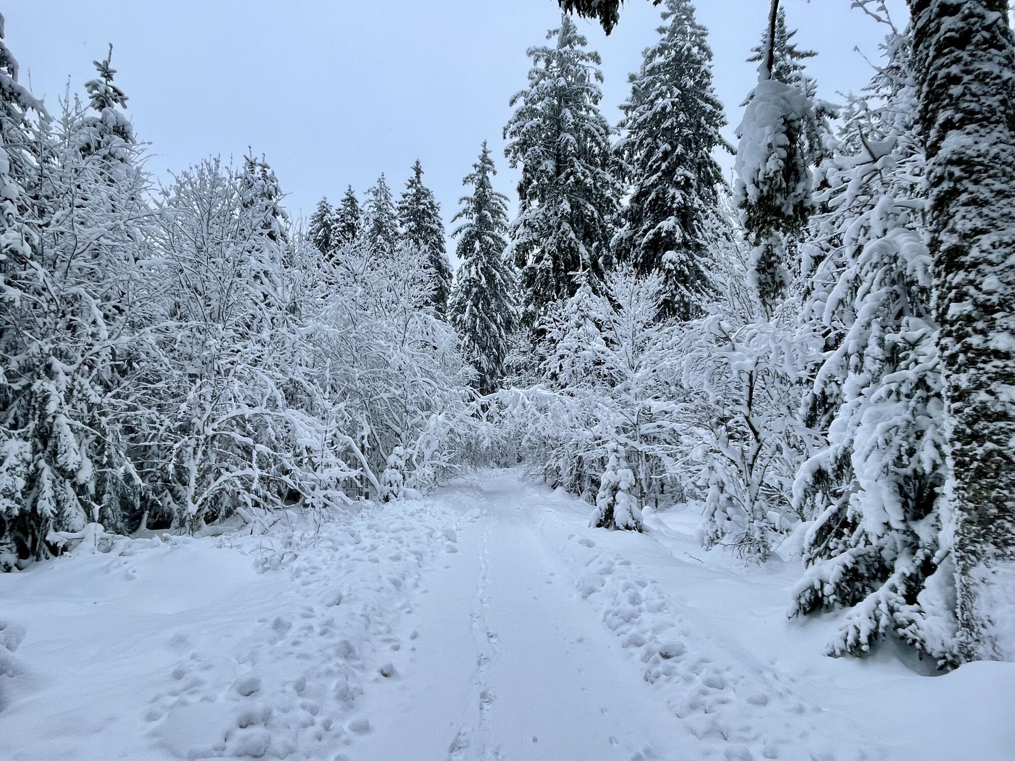
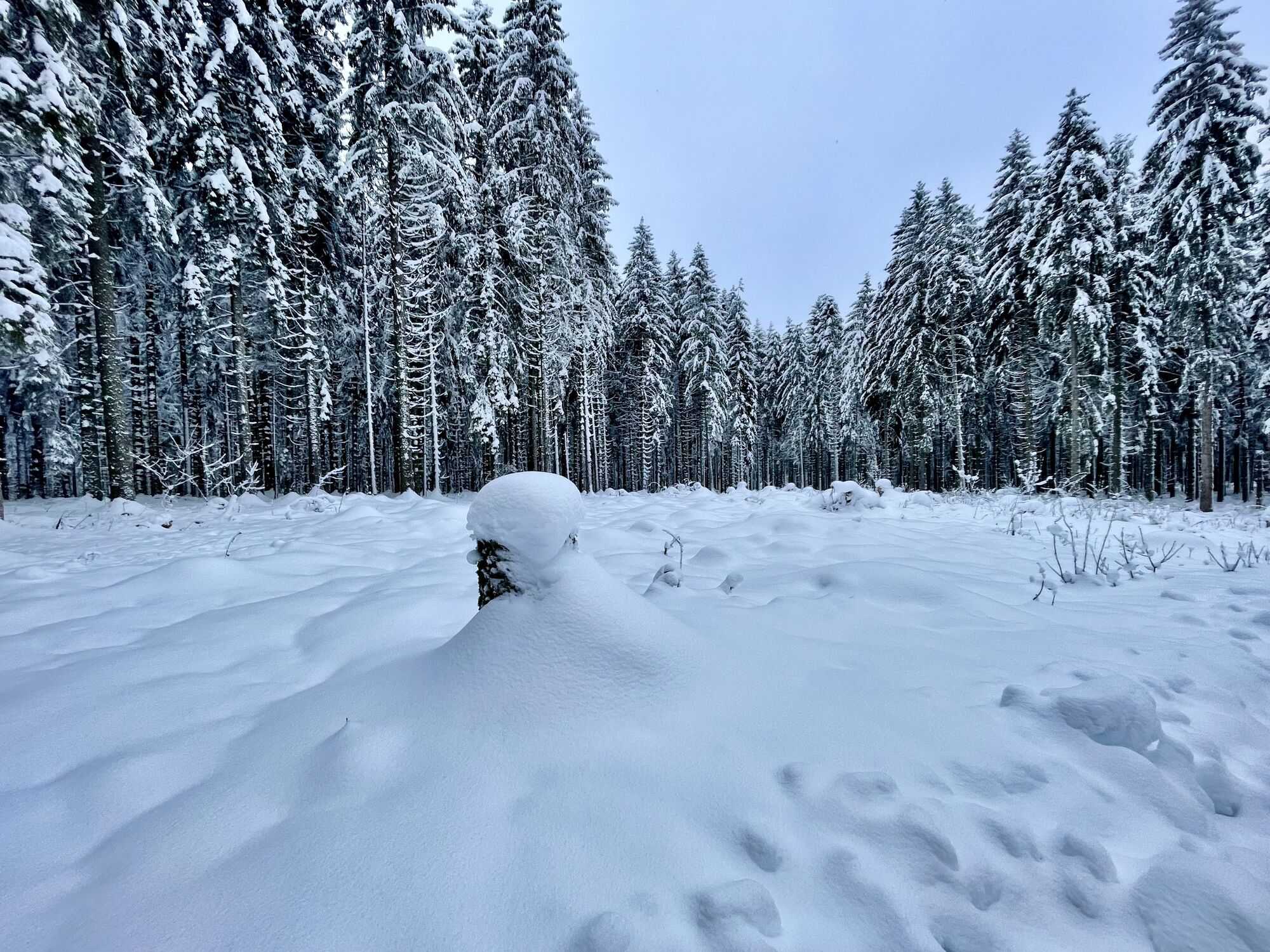
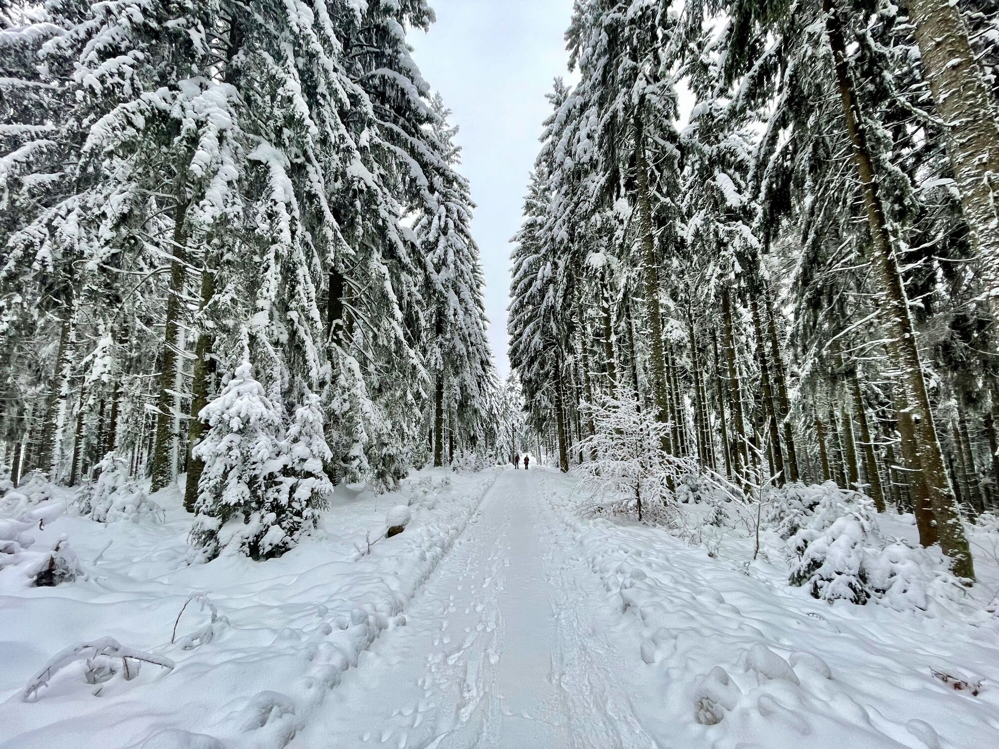
If you want to experience the summit trail as a circular tour but don't want to tackle the 140 kilometers in one go, the summit trail day tour is just the thing for you. Covering almost 66 kilometers,...
If you want to experience the summit trail as a circular tour but don't want to tackle the 140 kilometers in one go, the summit trail day tour is just the thing for you. Covering almost 66 kilometers, the summit trail day tour offers mountain biking fun paired with scenic enjoyment in the Black Forest Highlands
From the start at the train station in Neustadt, the summit trail takes you to Lake Titisee. To shorten the route a bit, take the well-signposted lake cycle path from there. This leads via Bärental, past the lake "Windgfällweiher" along the southern shore of lake Schluchsee to the black forest restaurant "Unterkrummenhof". From there, continue along the summit trail via Rothaus and Lenzkirch to Neustadt.

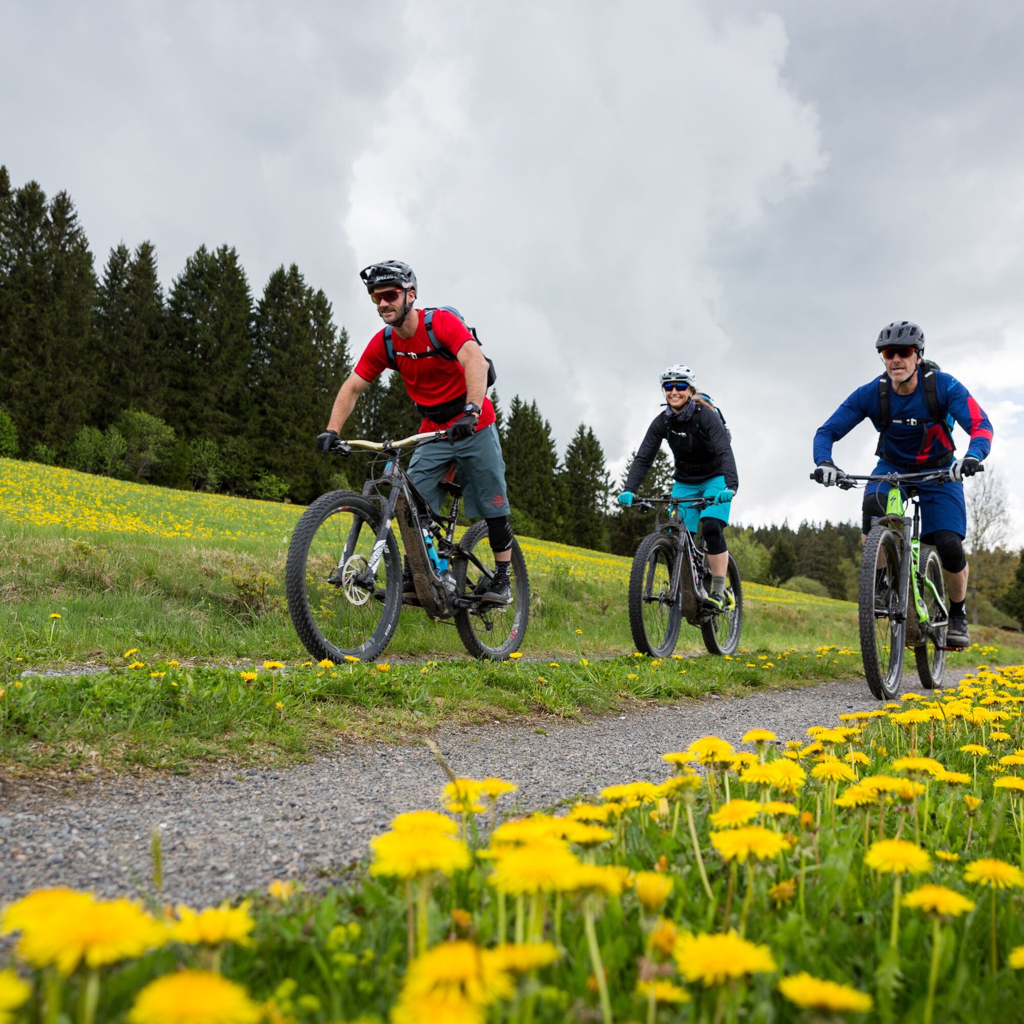
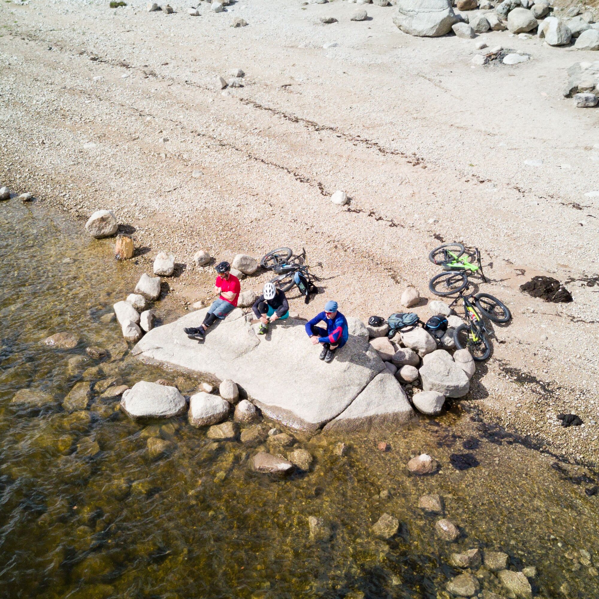
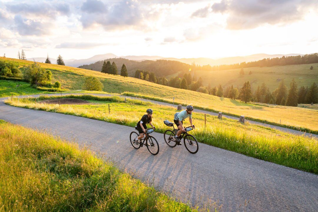
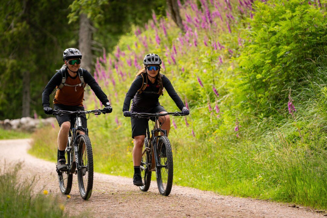
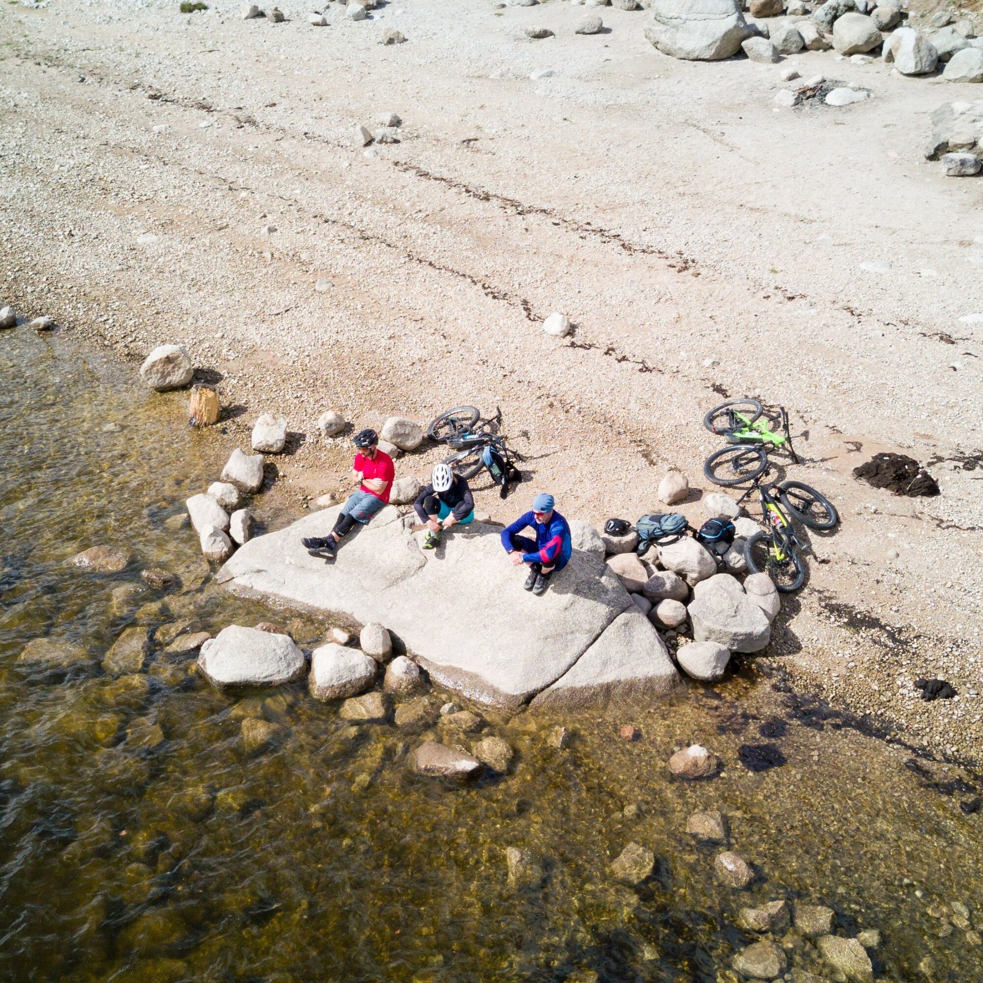
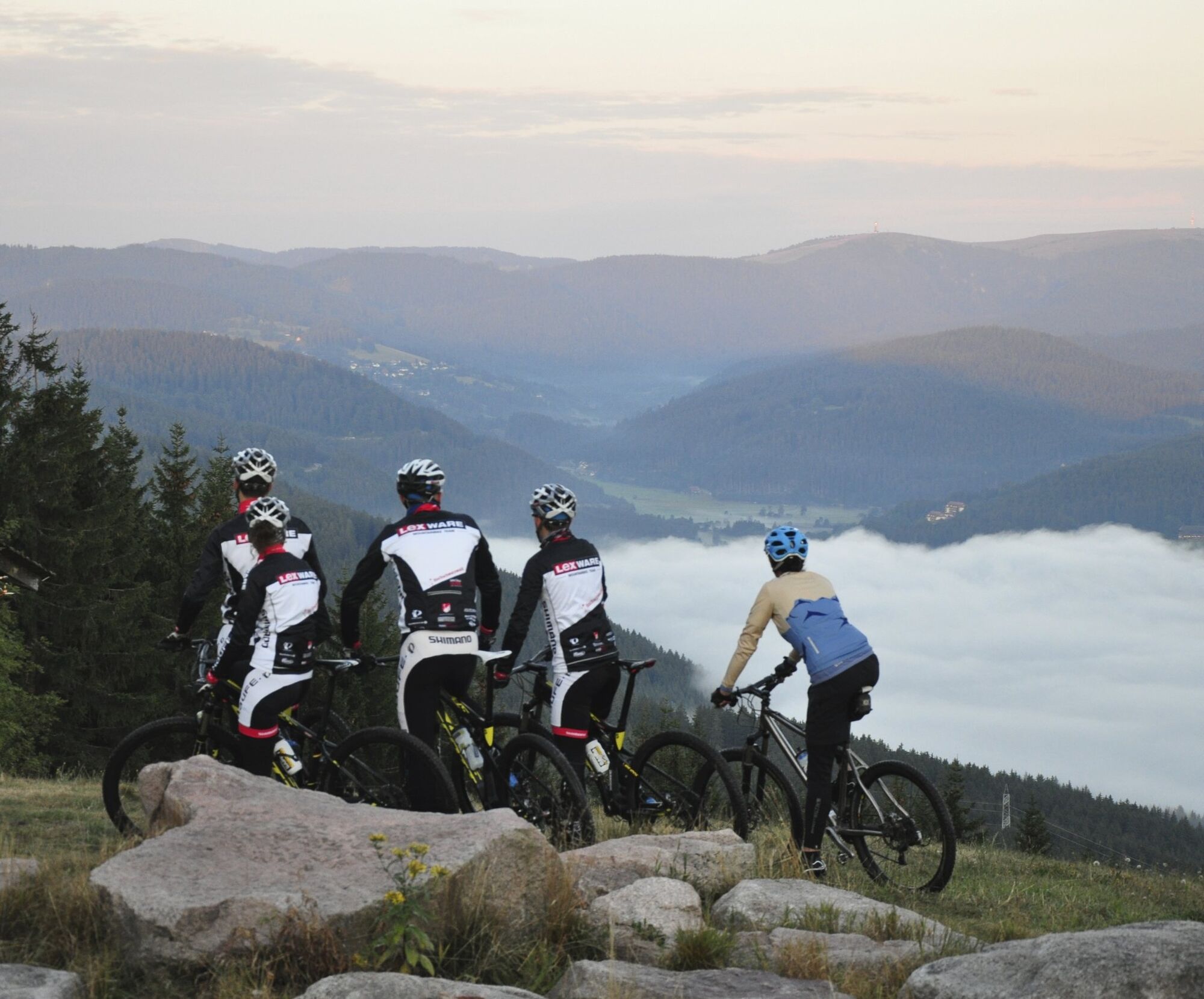
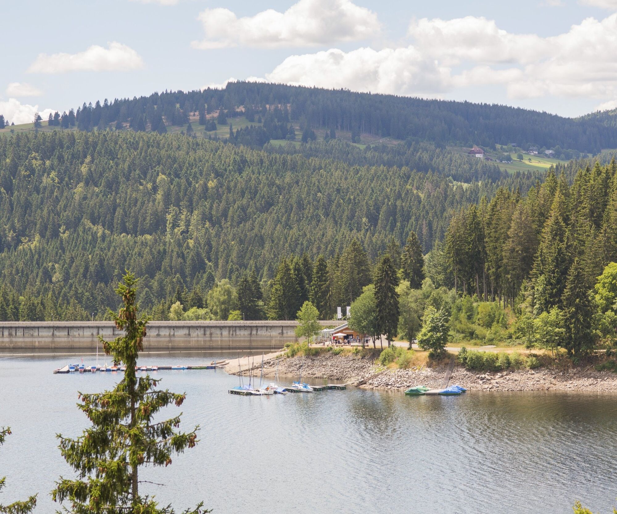
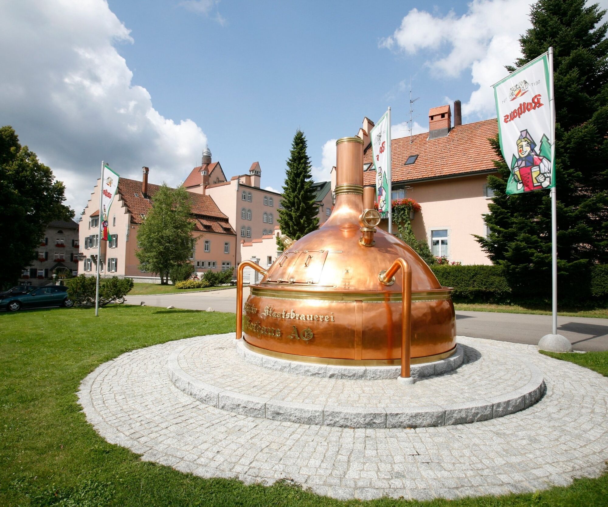
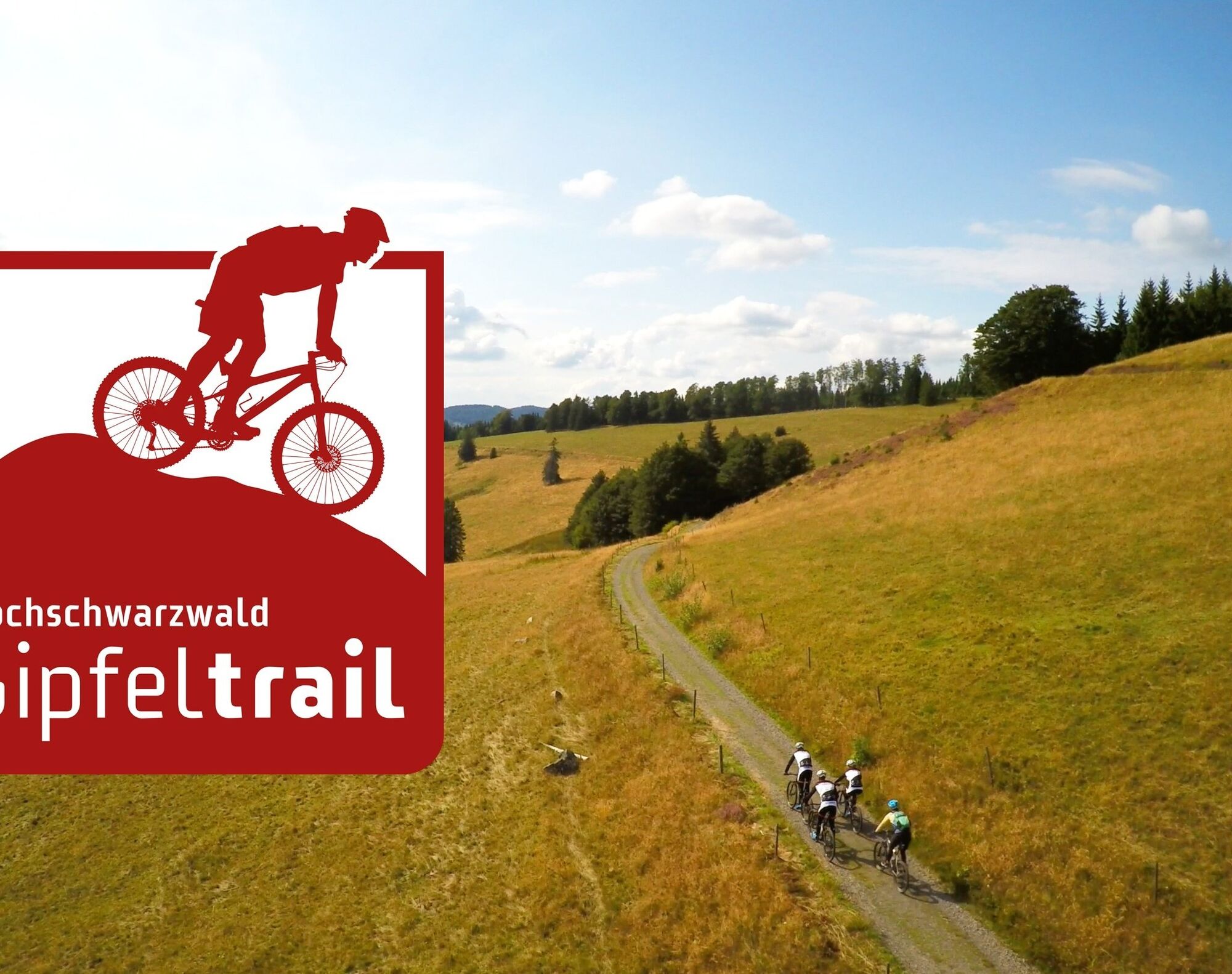

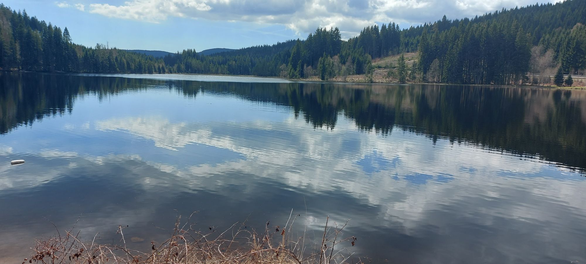
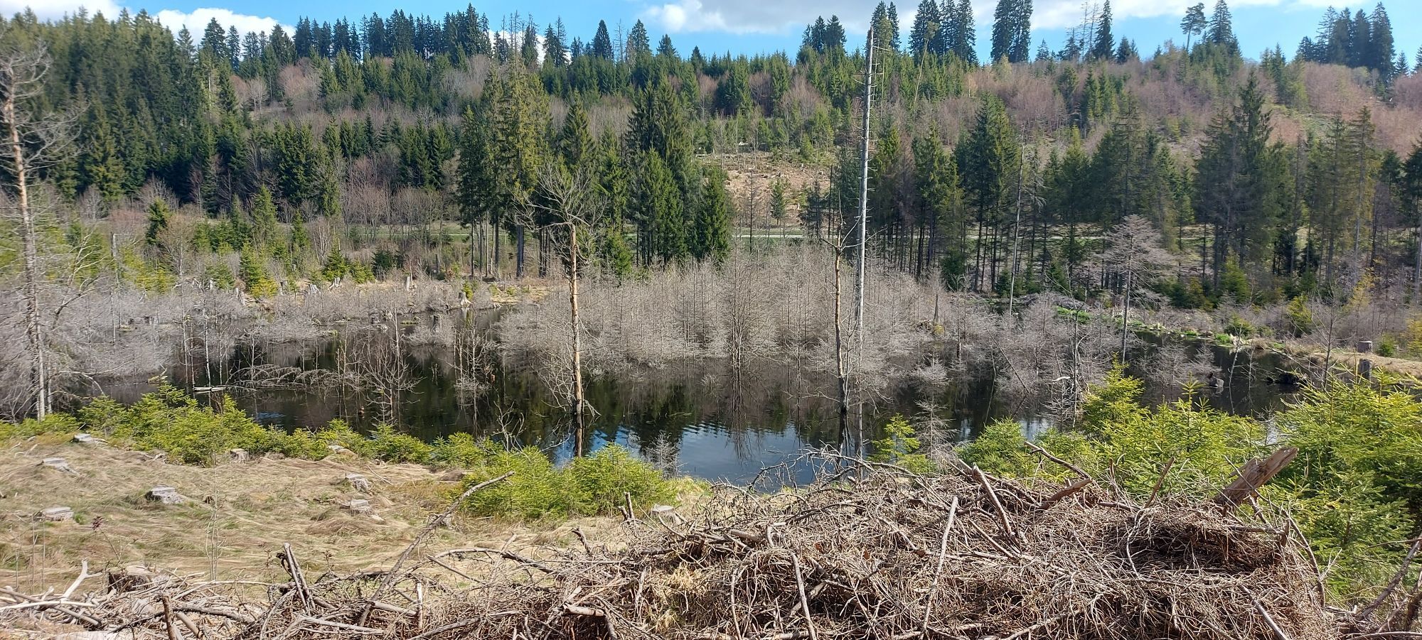
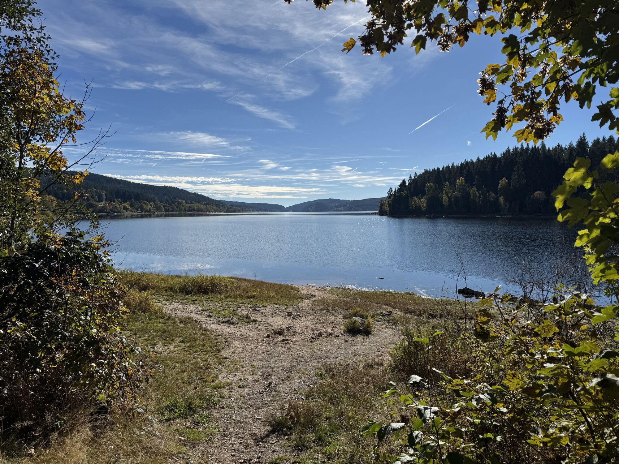
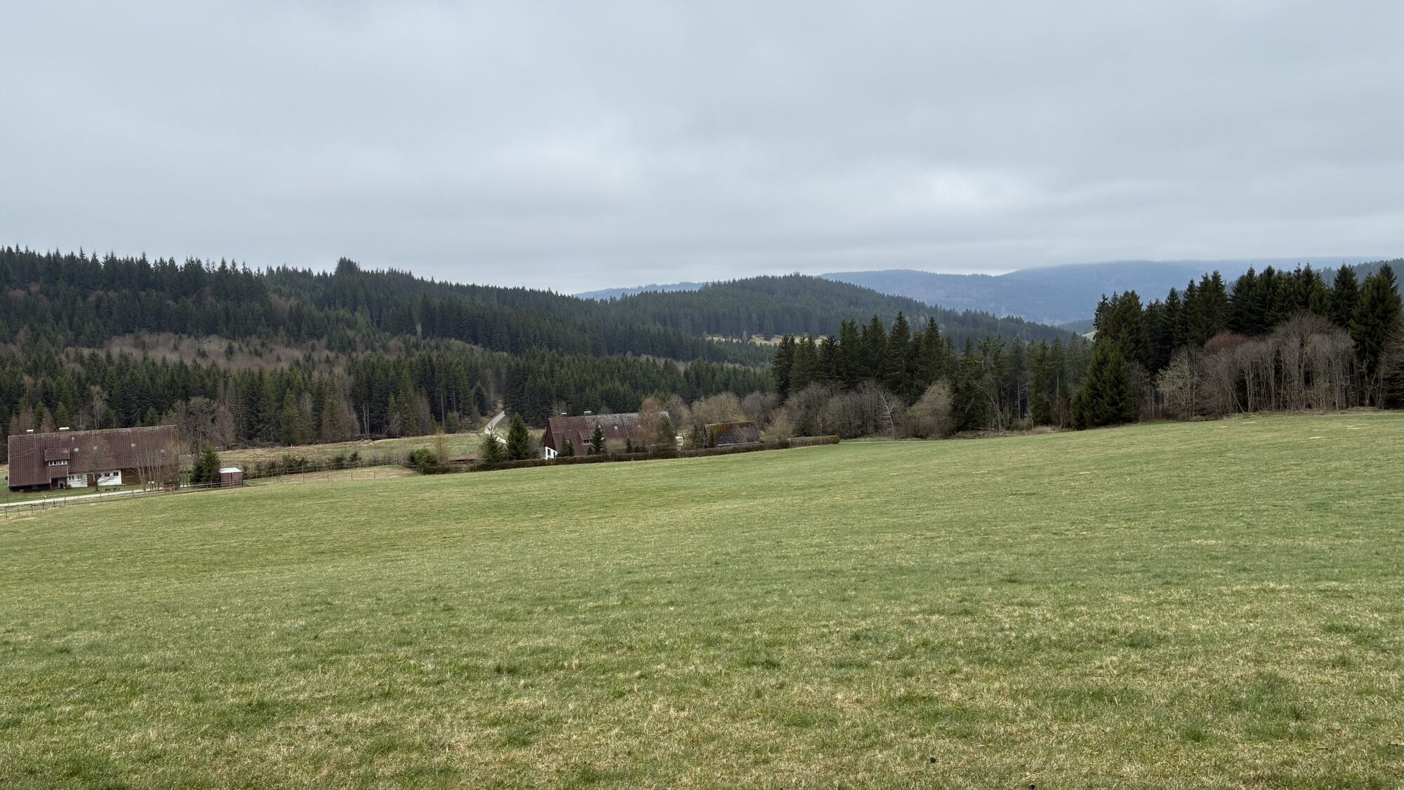
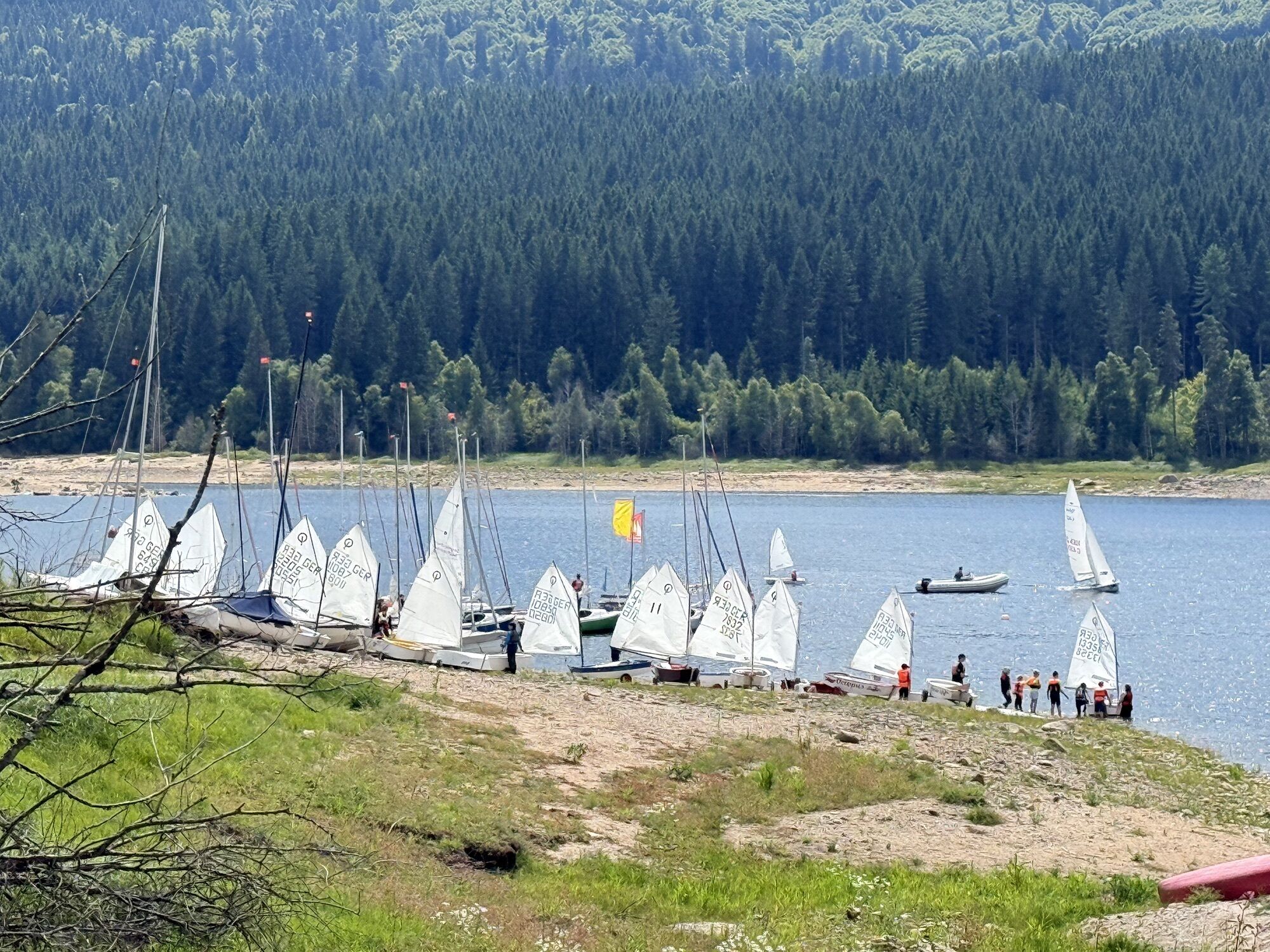
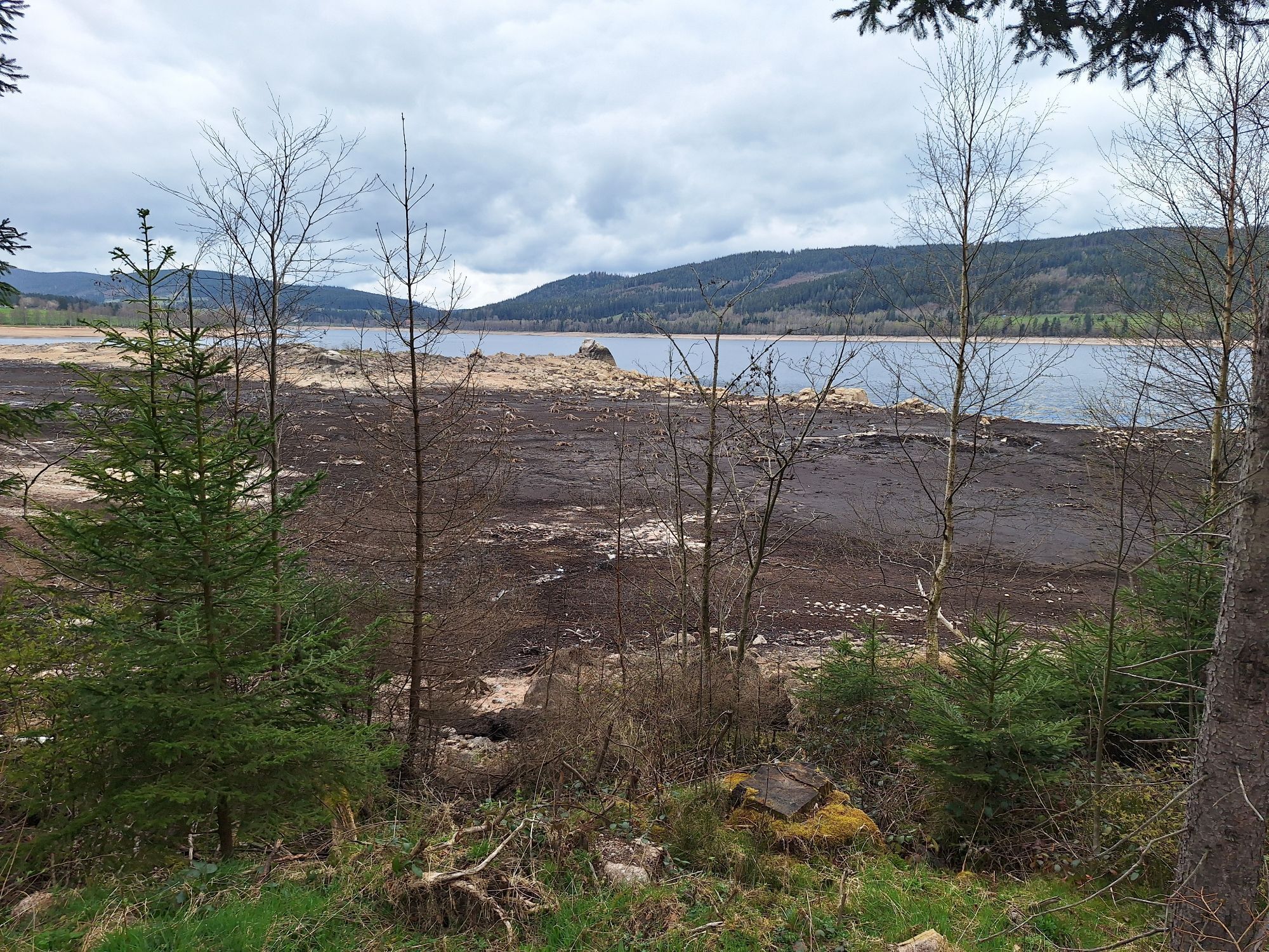
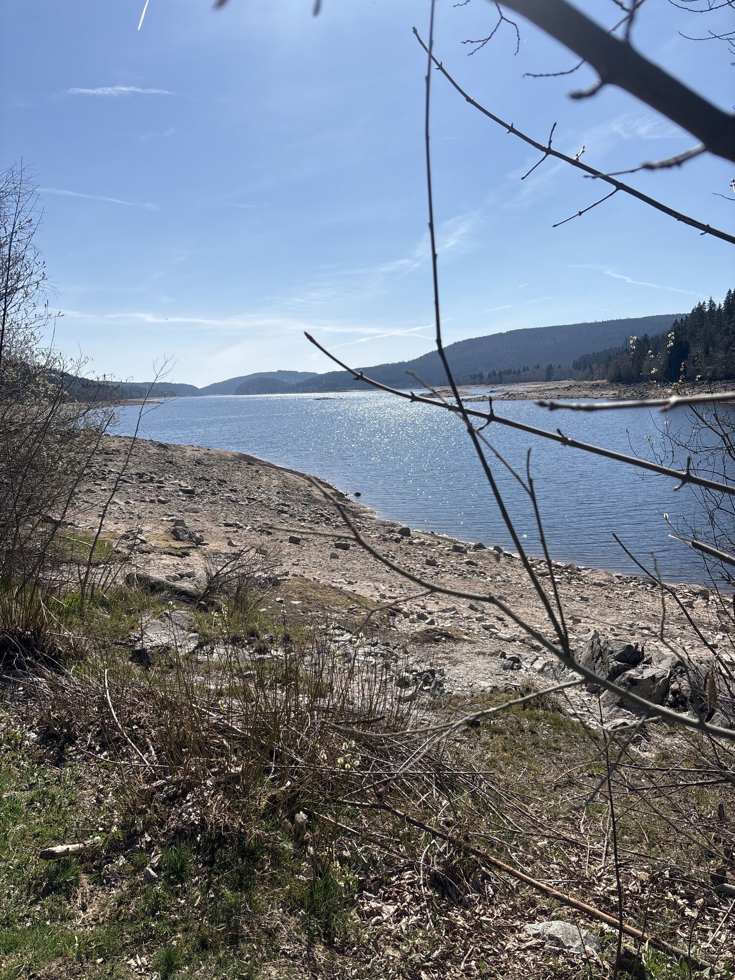
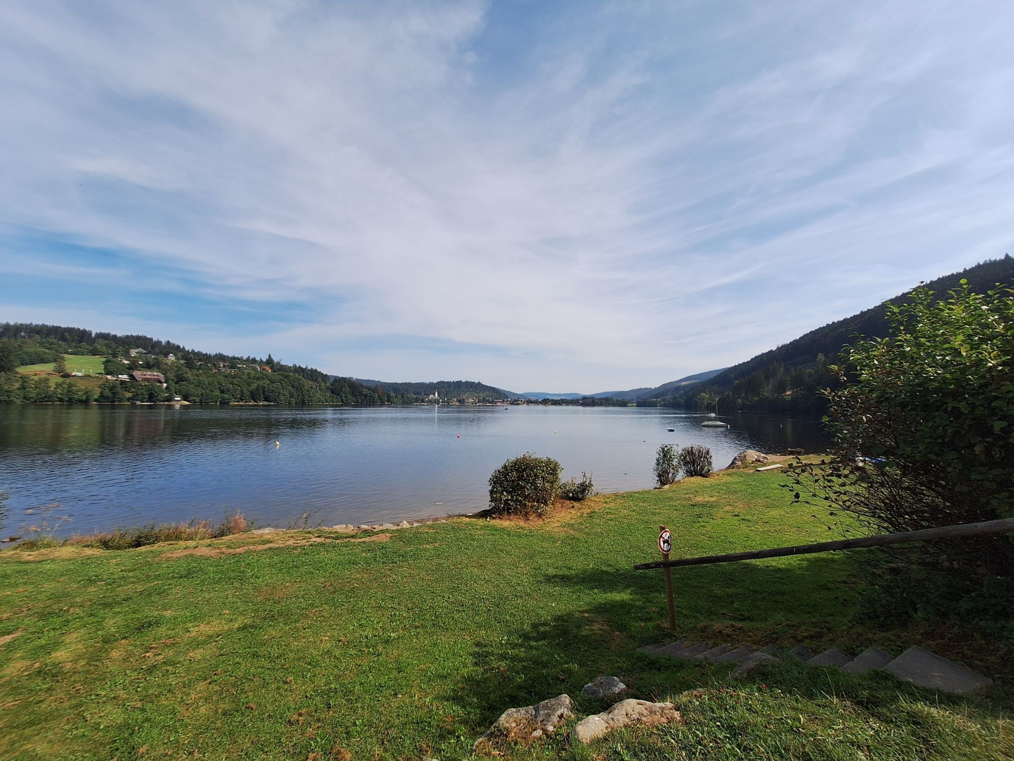
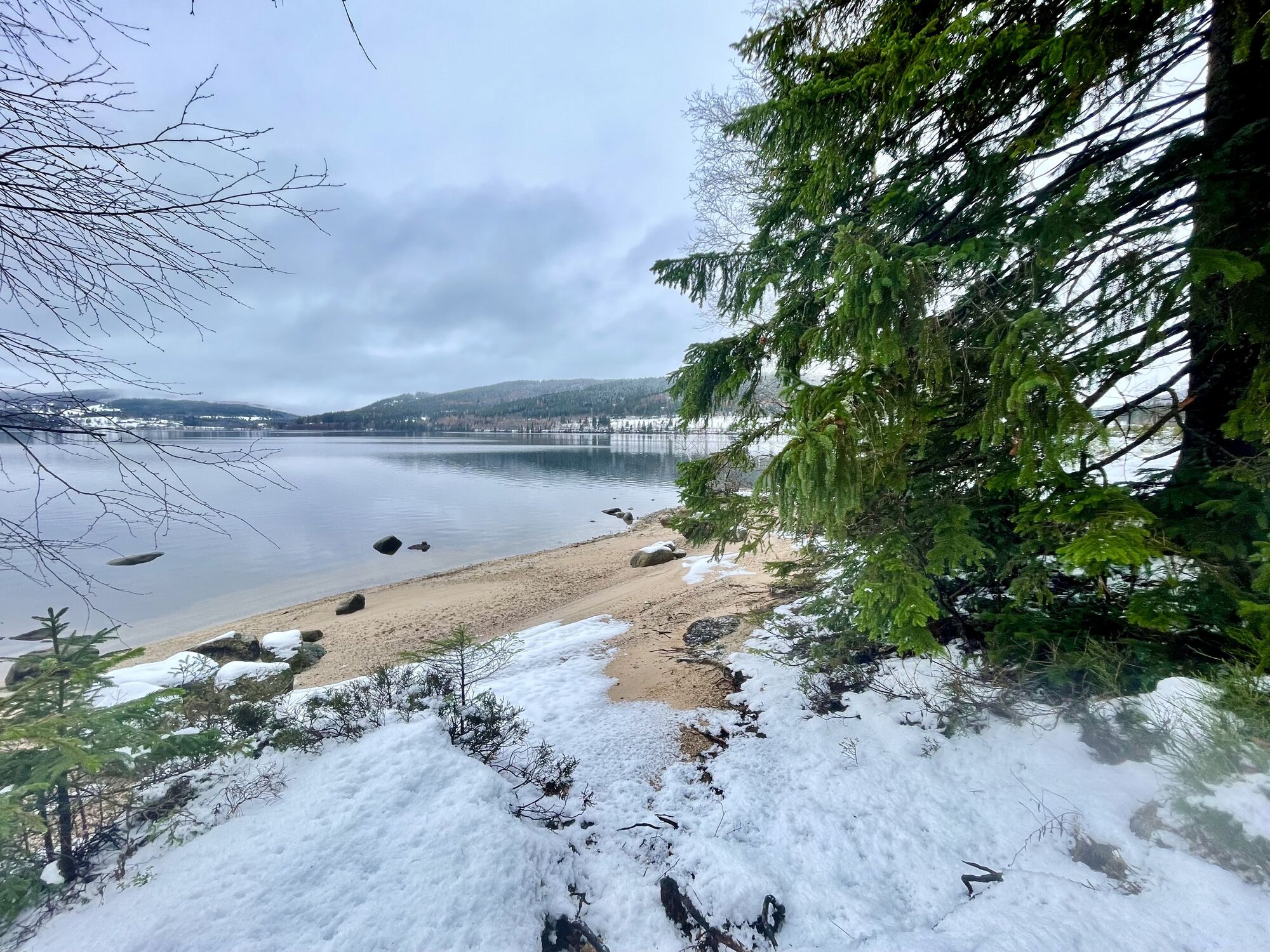
You start your tour at Neustadt train station and ride along the signposted summit trail to the famous Titisee. At the so-called "Roter Platz" in Titisee you leave the summit trail and cycle down the lakeside promenade. You now follow the lake cycle path, which is also well signposted. Continue along the shore of Lake Titisee and later along the road K4962 to Bärental. Continue along the cycle path towards Schluchsee. On the way, you will pass the idyllic Windgfällweiher pond, which is perfect for a short break or a quick dip. Soon after continuing, you will reach the Schluchsee. Follow the path along the southern shore until you reach the farmhouse restaurant Unterkrummenhof. A great place for a hearty refreshment stop. From here, the route continues along the summit trail. You continue over the dam wall at Seebrugg to Rothaus. Here you can enjoy a cool, freshly brewed beer in the brewery inn or take a tour of the brewery. Your tour continues via Balzhausen and Hinterhöfe to Lenzkirch. You ride through the town center and then continue via Saig to the Hochfirst. From the Hochfirst tower, you can enjoy a magnificent view over Lake Titisee all the way to the Feldberg. Then an exciting trail takes you downhill to the starting point at Neustadt station.
Tak
Wearing a helmet is recommended!
Arrival
Journey to the starting point
Parking at the starting point
Kamery internetowe z trasy
-
Feldberg - Falkau
-
Altglashütten - Schwarzenbachlift
-
Seebuck Talstation
-
Schluchsee - Wiesengrundpark
-
Cafe Feldbergblick
-
Titisee - Hotel Brugger
-
Hinterzarten - Ferienhaus Carola
-
Hinterzarten - Adlerschanze
-
Hinterzarten - Adler-Skistadion
-
Feldberg - Opelhaus
-
Menzenschwander Hütte - Feldberg
-
Menzenschwand Hinterdorf
-
Bergstation Mösle - Menzenschwand
-
Skilift Schwinbach - Menzenschwand
-
Skilift Rehbach - Menzenschwand
-
Menzenschwander Hütte - Feldberg
-
Kappel / Lenzkirch
-
Titisee - Fewo Titiseeblick
-
Lenzkirch Kappel Talweg
-
Feldberg - Altglashütten
-
Rothaus - Brauerei
-
Rothaus - Sudhaus
-
Rothaus - Biergarten
-
Dorf / Lenzkirch Saig Hochfirstweg
-
Alpen / Lenzkirch Saig Hochfirstweg
Uzyskaj wgląd
Zawsze na żywo z ponad 9 500 kamer internetowych. bergfex Jako użytkownik Pro, możesz teraz zobaczyć odpowiednie kamery internetowe dla wielu wycieczek w aplikacji wycieczki od. Pozwala to na bezpośredni podgląd aktualnych warunków.
Popularne wycieczki w okolicy
-
3,9
Seerundweg Titisee
światłoWędrówka 5,84 km -
4,1
Höhenklimaweg Titisee-Rundweg
średniWędrówka 7,44 km -
3,9
From Titisee to the Hochfirst with its stunning views
średniWędrówka 10,6 km -
3,8
Premium Hiking Trail- Säbelthomaweg
średniTrasa tematyczna 11,3 km -
4,7
Premium Hiking Trail - Rötenbach Gorge
średniTrasa tematyczna 10,1 km -
5,0
Premium Hiking Trail - Menzenschwander Geißenpfad
średniTrasa tematyczna 9,78 km -
4,0
Altitude on the Herzogenhorn
średniWędrówka 11,1 km -
5,0
Wutachschlucht+Lotenbachklamm
światłoWędrówka 10,0 km -
4,3
Mystical path to the Mathisleweiher pond
średniWędrówka 8,94 km -
4,7
Seerundweg Schluchsee
średniWędrówka 17,7 km

Wędrówki i tropienie


Nie przegap ofert i inspiracji na następne wakacje
Twój adres e-mail została dodana do listy mailingowej.





