







Short Wolfach route
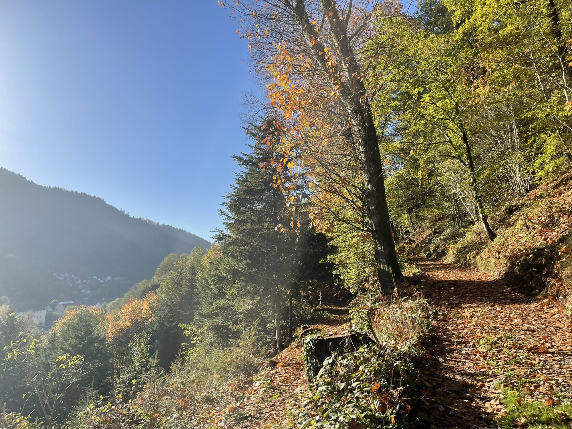
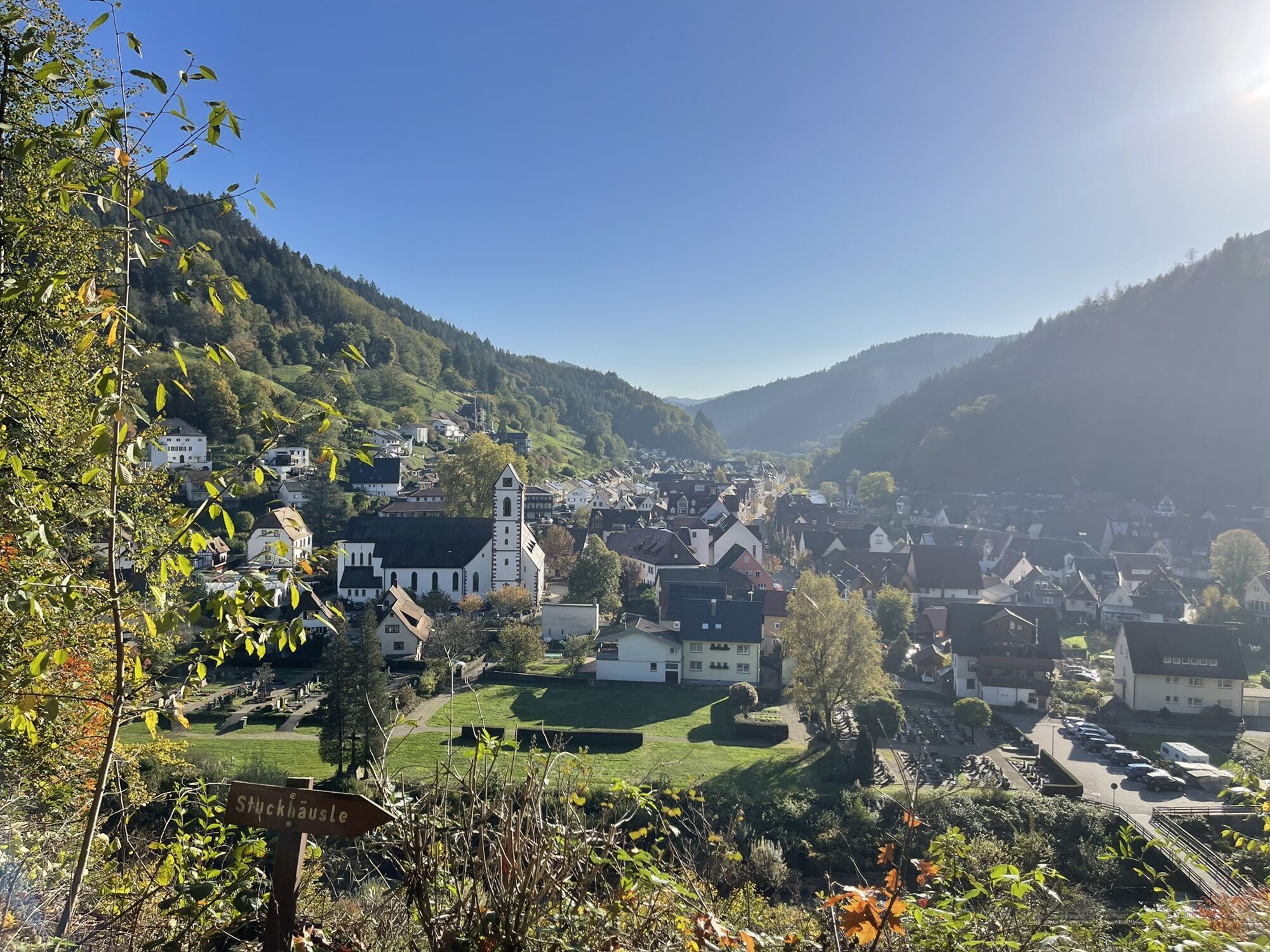
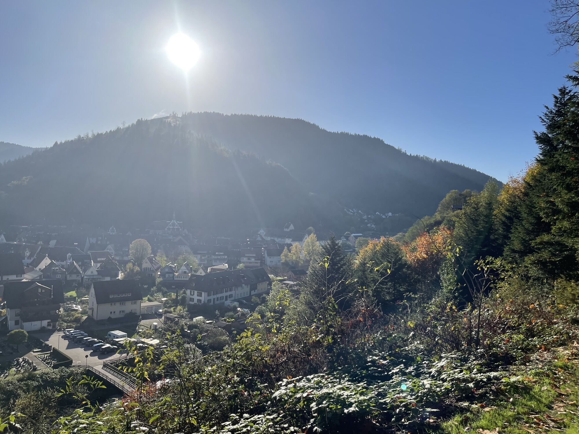
Start an exploration trip via Hasenkopf and Frauenwald around the Wolftal to the Walke and via the Gelbach and Fronbach valleys to the Hapbach and Hofberg. Dive into the mysterious underground world at...
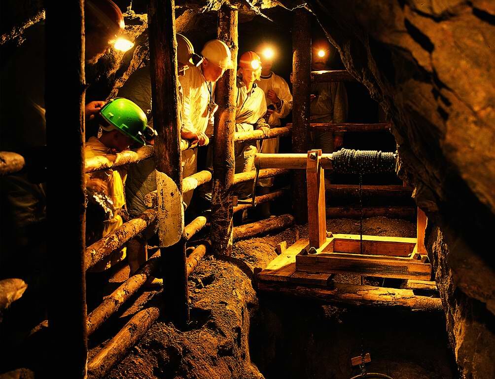
Start an exploration trip via Hasenkopf and Frauenwald around the Wolftal to the Walke and via the Gelbach and Fronbach valleys to the Hapbach and Hofberg. Dive into the mysterious underground world at the visitor mine "Grube Wenzel".





Wolfach - Gelbach Hermeshof 13.2 km:
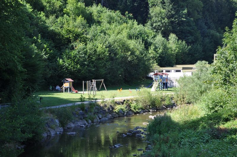
The start is at Wolfach train station. The route leads south from here along the main street and over the Kinzig. After the bridge, turn right toward Oberwolfach, after the school turn right over the bridge, and at the MTB junction at the bridge to the old town turn left toward Weihermatte/Schrannenbauernsattel. At Schützeneck turn left along the main street toward Oberwolfach. At 2.5 km turn right, past the playground and the Nordic walking starting point toward Schrannenbauernsattel/Staufenhof. The road then leads uphill and turns into a gravel path at the forest edge. At the "Steffelsbach" location (Km 3.2) turn left. Follow the forest road uphill past the reservoir and the hut uphill toward Landeck/Staufenhof. At the "Burgeck" location (Km 5.5) turn left and follow the forest road to Schrannenbauernsattel. At Schrannenbauernsattel (Km 7.3) turn left downhill toward Stettenbühl/Oberwolfach Walke. At the intersection at Km 8 below Lachenköpfle turn right onto Landeckweg. Pass the old quarry and go to the "Stettenbühl" location. There turn left downhill on asphalt, continue straight past the "Schulers Loch" location to Talstraße. There, at the bus stop (Km 10.1), turn right. After 400 m turn left into Kapellenweg over the wooden bridge. At house no. 5 turn right. First on the gravel path to the forest edge and then go steeply uphill on the unpaved path at Km 11.2 at a sharp angle turn left on the forest road gently downhill. Follow the forest road at Km 12 around the curve to the right, continuing into the Gelbach valley.
Gelbach Hermeshof - Wolfach 28.0 km:
At Hermeshof turn left on the paved road downhill for 500 m before at the "Vorderer Gelbach" location (Km 13.5) turn right onto a gravel path going uphill again into the forest. At the three-way junction at Km 14.8 turn right and continue uphill until Km 15.5, then gently downhill. 300 m further at the fork turn left uphill onto Waldkopfweg. Follow this to Harzbühl. There, turn right along the forest edge uphill and back into the forest always following the forest road until Km 21.3. There the Ebenackerweg meets the Wölflehofweg, half right uphill toward Spitzfelsen. At the following junction, 500 m further, go straight onto Oberer Mattenhangweg. At the crossing at Km 22.6 go straight downhill and at Km 23.5 leave the forest continuing downhill. 200 m after the forest edge, before the house, turn right back into the forest and at the next junction take the right path. At Km 24.1, at the fork, go straight and shortly after left downhill on the path (Hansjakob-Weg). About 50 m further the path meets a forest road. There half left downhill toward Hofeck/Wolfach (train station). At the hut turn left continuing downhill and at Hofeck follow the road to the right for 250 m downhill before turning left again and at the following junction again left downhill. Once in the valley turn right to the main street and left over the bridge back to the starting point.
Sturdy footwear, mountain bike, bike helmet
From Schramberg B462 to Schiltach, from Schiltach B294 to Wolfach; from Villingen-Schwenningen B33 to Hausach, from Hausach B294 to Wolfach, from Offenburg B33 to Hausach, from Hausach B294 to Wolfach
By SWEG from Freudenstadt and Offenburg to Wolfach.
Free parking at Wolfach train station.
Tourist Information Wolfach
Hauptstraße 41
77709 Wolfach
Tel.: 07834/835353
Fax: 07834/835359
Email: tourist-info@wolfach.de
Uzyskaj wgląd
Zawsze na żywo z ponad 9 500 kamer internetowych. bergfex Jako użytkownik Pro, możesz teraz zobaczyć odpowiednie kamery internetowe dla wielu wycieczek w aplikacji wycieczki od. Pozwala to na bezpośredni podgląd aktualnych warunków.
Popularne wycieczki w okolicy
-
4,8
Hahn und Henne Tour
średniWędrówka 15,0 km -
4,8
Bad Peterstal-Griesbach - Himmelssteig für "Höhenverliebte"
ciężkiWędrówka 10,3 km -
4,6
Bad Rippoldsau - Cafe & Restaurant Zum Schlüssel - Klösterle - Burgbachwasserfall
średniWędrówka 11,2 km -
4,3
Oberhamersbach Vesperweg
średniWędrówka 14,5 km -
4,8
Ortenau legend circular routes: Devil's Pulpit
średniWędrówka 10,2 km -
4,8
AugenBlick-Runde Lauterbach Güntersberg
światłoWędrówka 10,2 km -
3,0
Lauterbach High Valley Circuit in the hiking paradise Alb - Black Forest
światłoWędrówka 10,7 km -
Über die Höhen des Schwarzwaldes ins Wolftal
Wędrówka 24,7 km -
4,7
Waldsee circular route to the Urenkopf tower
średniWędrówka 7,30 km -
4,5
Bad Peterstal-Griesbach - Wiesensteig für "Genusssucher"
ciężkiWędrówka 13,5 km
Wędrówki i tropienie


Nie przegap ofert i inspiracji na następne wakacje
Twój adres e-mail została dodana do listy mailingowej.





