


Neckar valley/Black Forest | German Timber-Frame Road: Circular route Neckar valley/Black Forest
Poziom trudności: 2

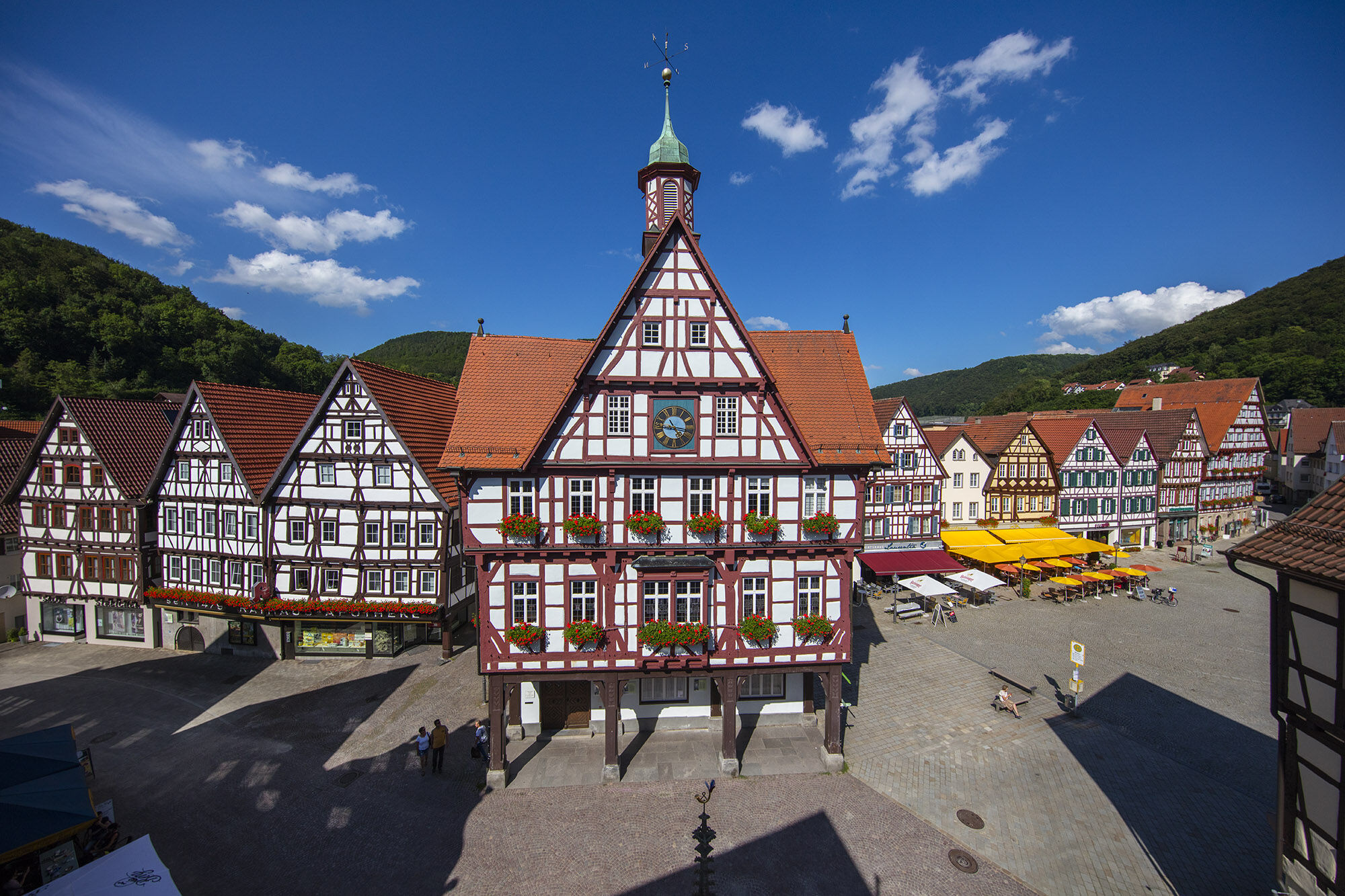
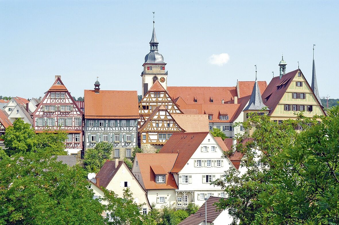
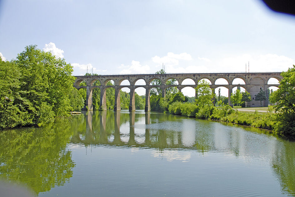
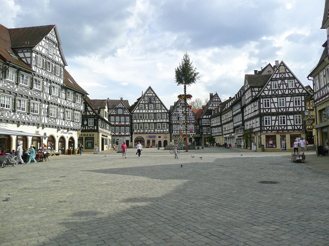
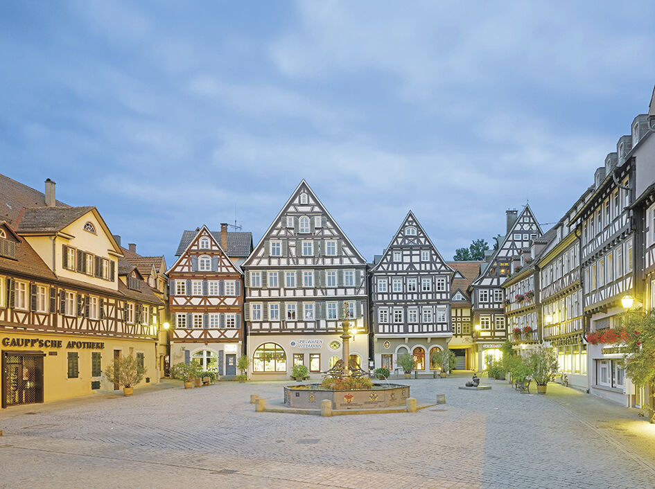
The starting point of our circular route is Bietigheim with its magnificent timber-frame houses and the mighty Enz viaduct. Via the Schiller town of Marbach and the Murr metropolis Backnang, we reach the...
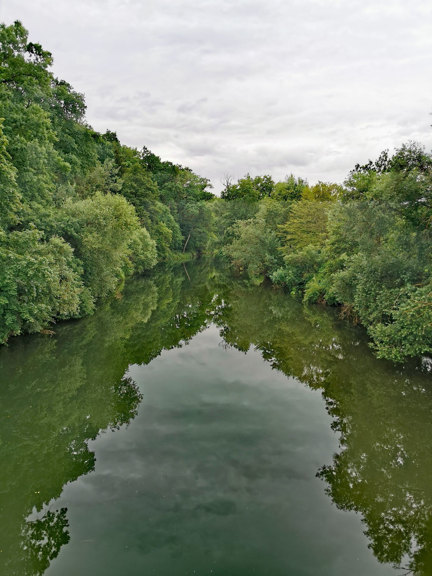
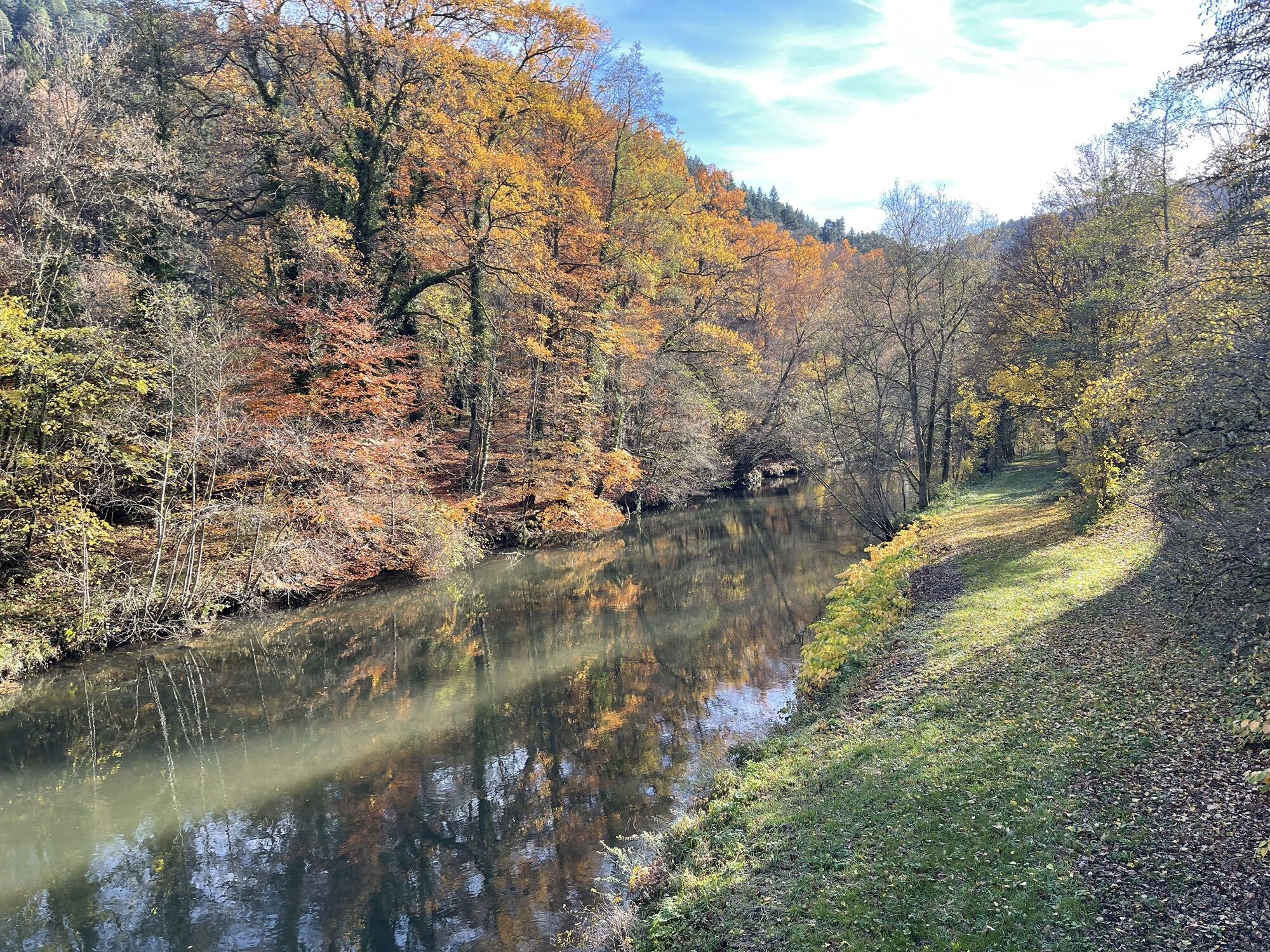
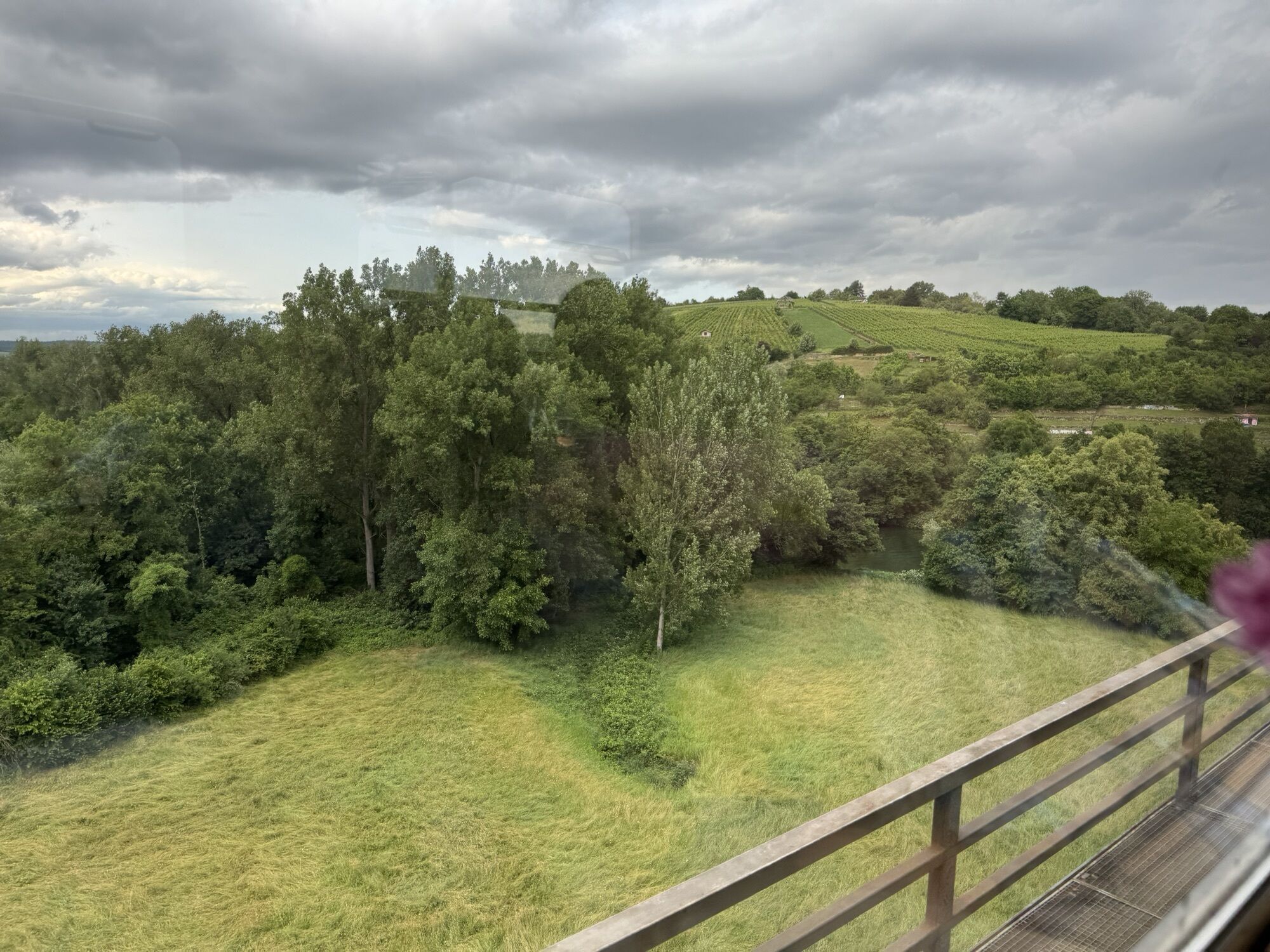
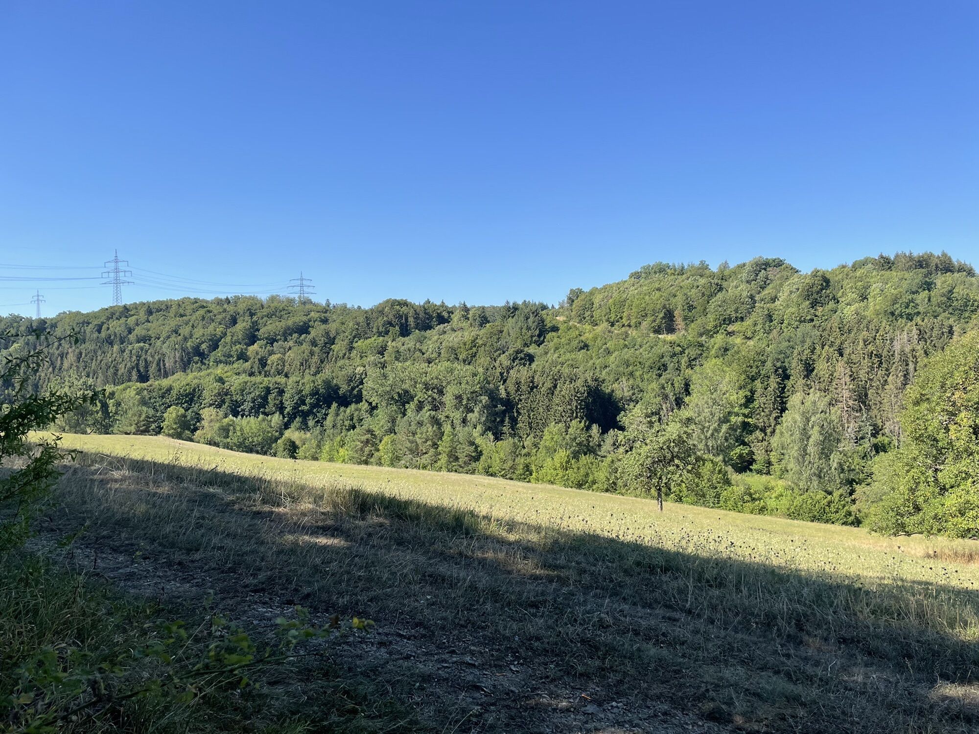
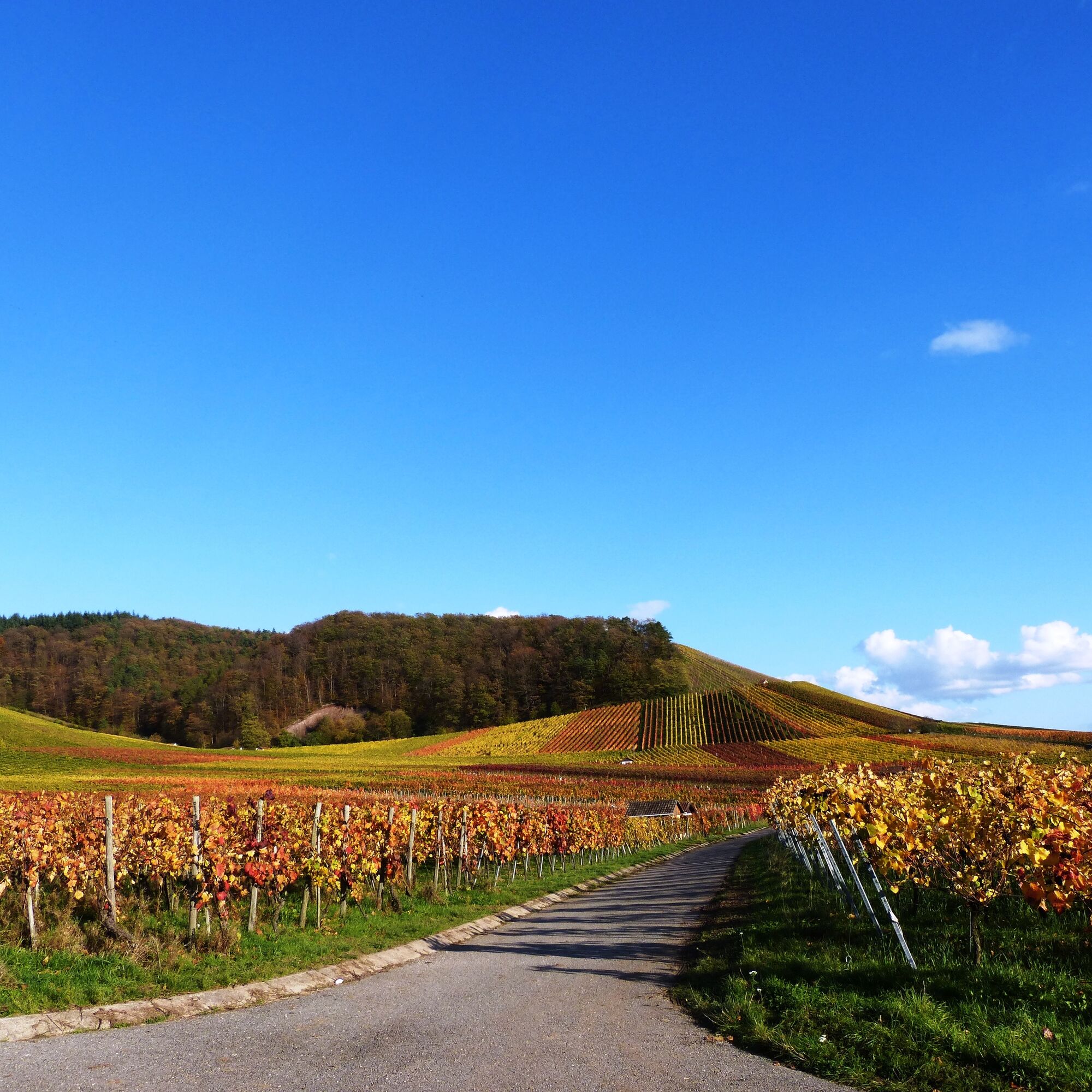
The starting point of our circular route is Bietigheim with its magnificent timber-frame houses and the mighty Enz viaduct. Via the Schiller town of Marbach and the Murr metropolis Backnang, we reach the first stage destination Schorndorf, nestled in the vineyards of the Rems valley. Following the Rems and then the Neckar, we pass numerous sights such as the Wilhelma Zoological Garden, the Mercedes-Benz Museum, the Esslingen Castle, and the Hundertwasser House. Then follows the ascent to the Alb plateau, where the Reußenstein castle ruins, the Schertel cave, and the Schopfloch peat bog captivate us. After the magnificent view from the Römerstein observation tower, we descend into the Erm valley. In Bad Urach, the AlbThermen invite you to relax before the fourth stage leads us via the university town of Tübingen and Herrenberg with its medieval city center to the Hermann Hesse town of Calw. Along the Nagold, we pass Hirsau with its significant monastery complex and enjoy pure nature in the Central/North Black Forest Nature Park. From Pforzheim, we finally return along the Enz to Bietigheim.


1. Bietigheim – Schorndorf
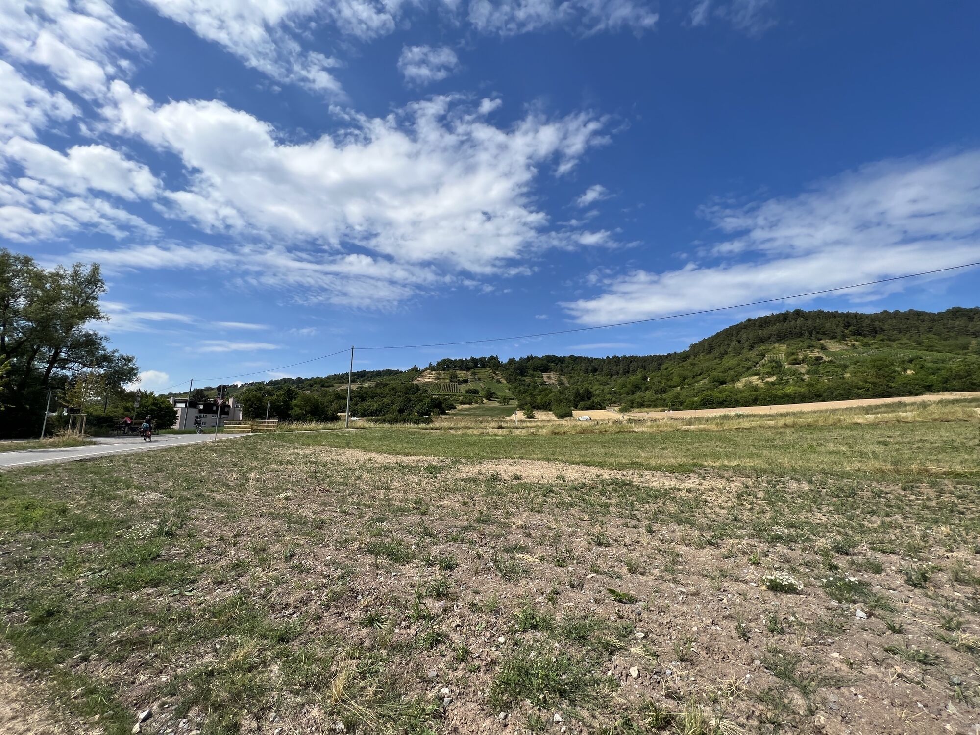
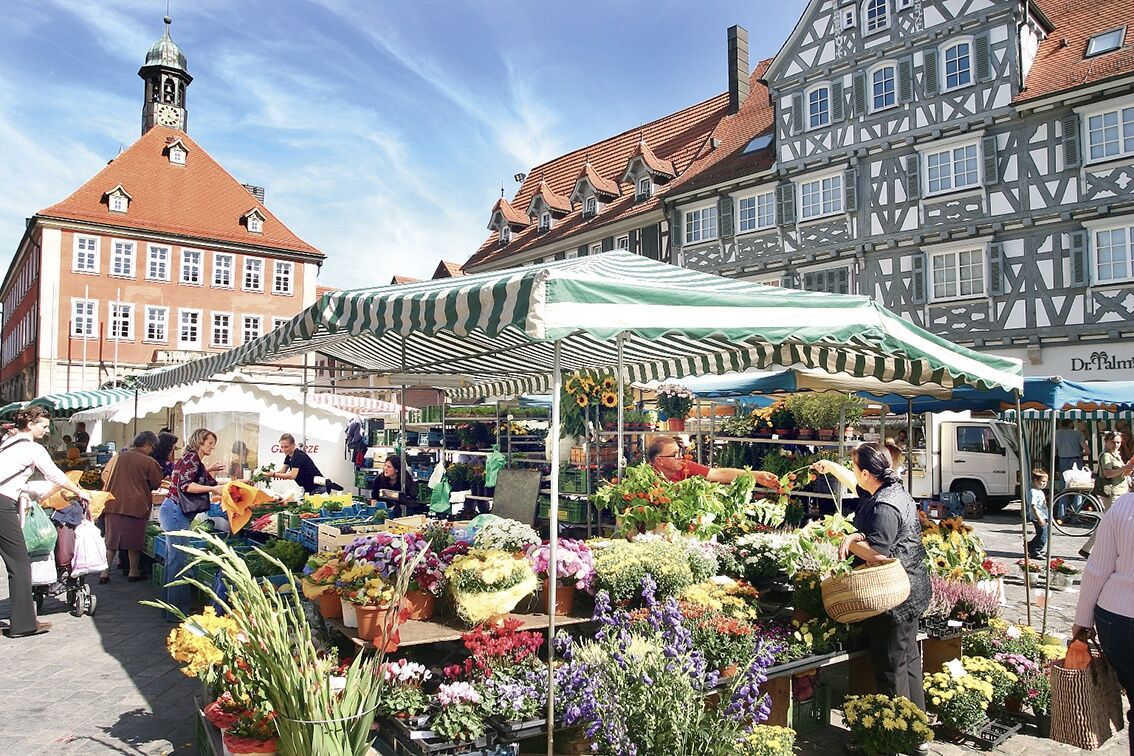
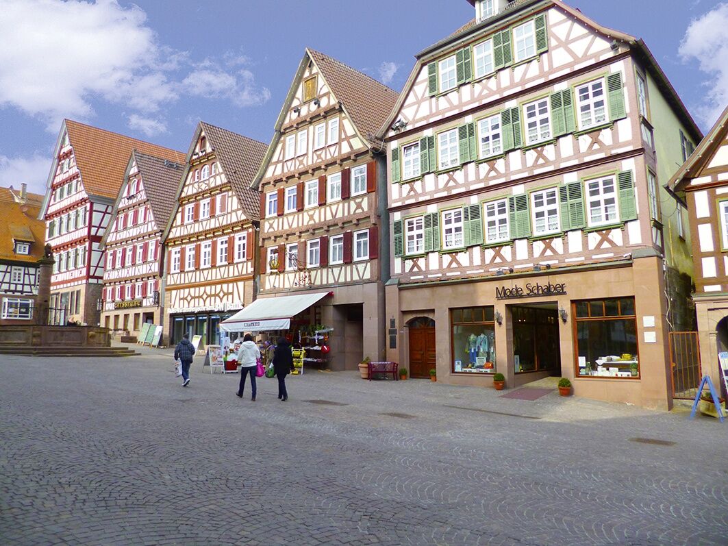
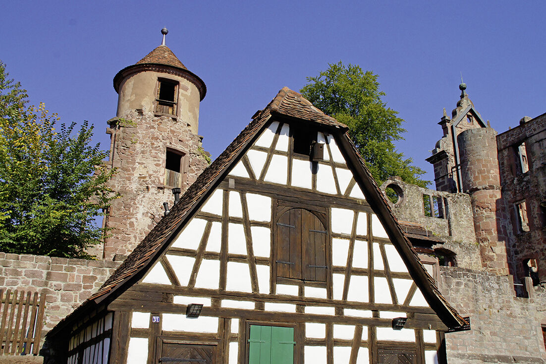
The starting point is the Old Enz Bridge in the Bietigheim Bürgergarten, from where it goes eastward via Ingersheim to the Schiller town Marbach on the Neckar. Along the Murr, we cycle through many small villages up to Backnang. In the Murr metropolis with its numerous timber-frame houses, the view wanders from the newly designed Bleichwiese to the castle hill 30 m higher, the original nucleus of Backnang and today's cultural center of the city. Then we cycle southeast into beautiful, partly challenging hilly terrain for cyclists until we finally reach the first stage destination Schorndorf along the Wieslauf.
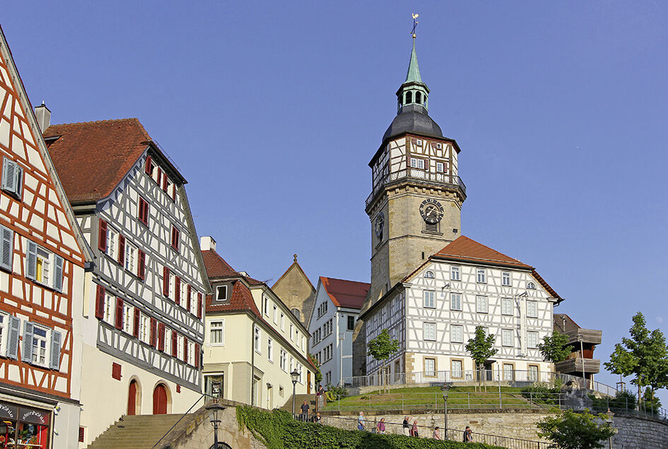
2. Schorndorf – Kirchheim
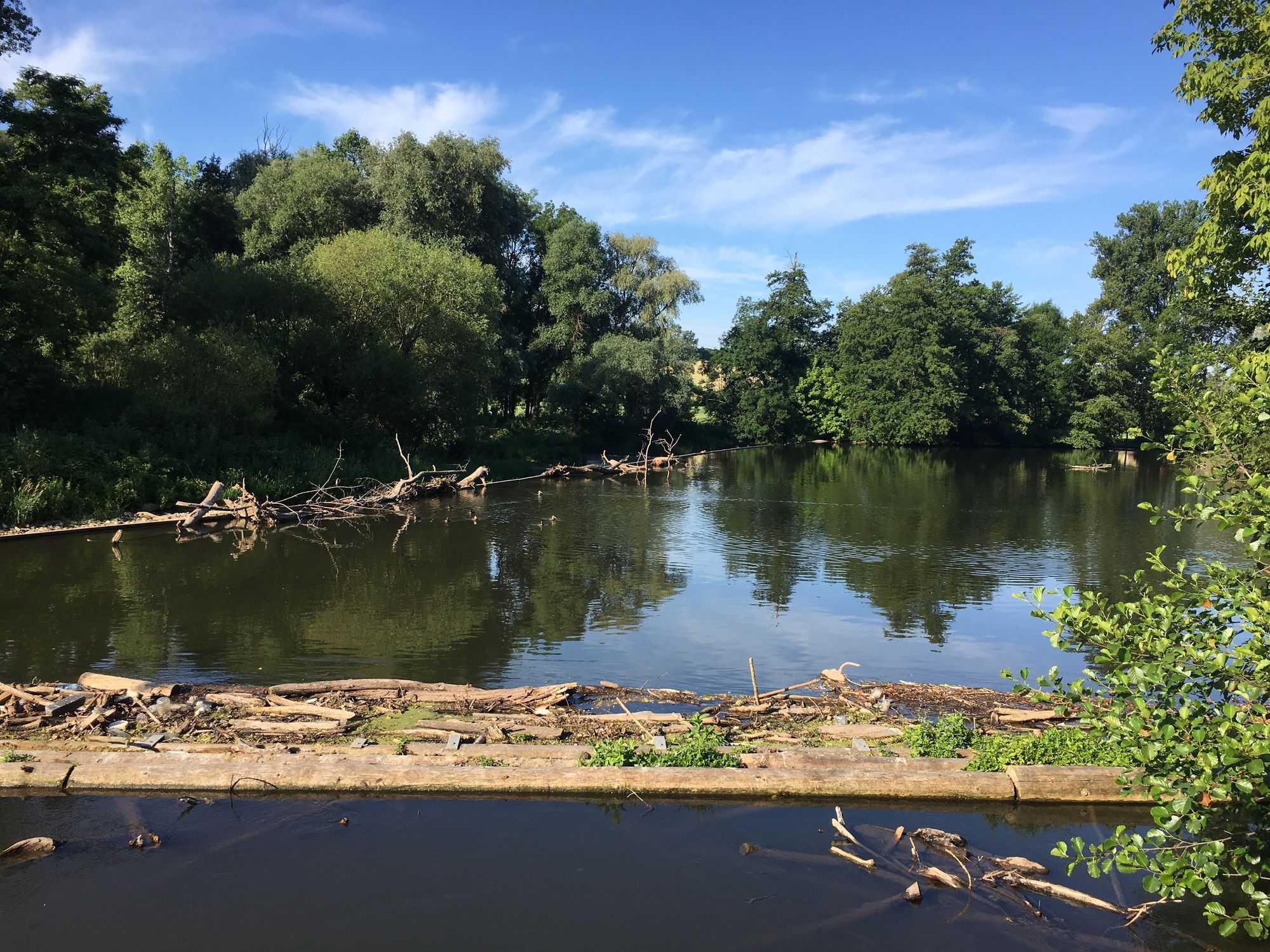
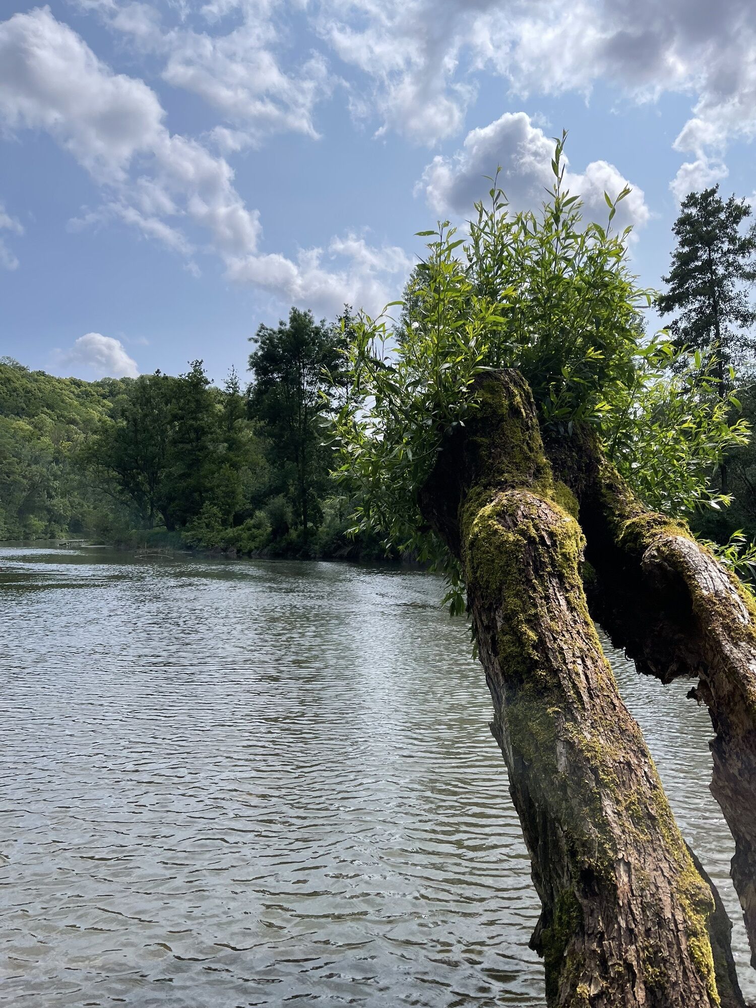
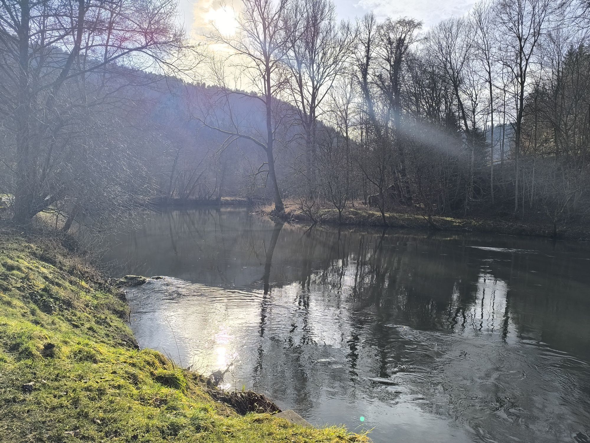
Along the Rems, the second stage initially leads us to Waiblingen. At Hegnach, after a short ascent, the route goes steeply downhill to Remseck, where the Rems flows into the Neckar. Further on, the Max Eyth Lake near Hofen invites for a short break. Along the Neckar, we first pass Bad Cannstatt, the largest and oldest district of Stuttgart, where a visit to the Wilhelma Zoological Garden is worthwhile. The core of the old imperial city of Esslingen, with its castle perched on the slope, requires a short detour from the Neckar bank. At Plochingen, we leave the Neckar valley and enter the open, hilly foreland of the Alb. Soon we have a wonderful view of our next stage destination, Kirchheim unter Teck.
3. Kirchheim – Bad Urach
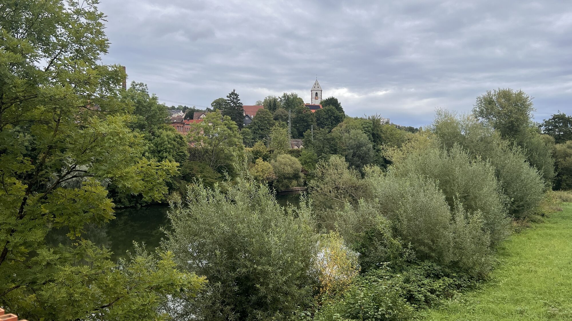
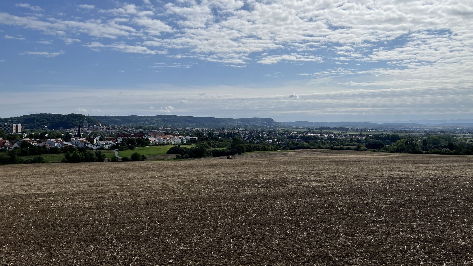
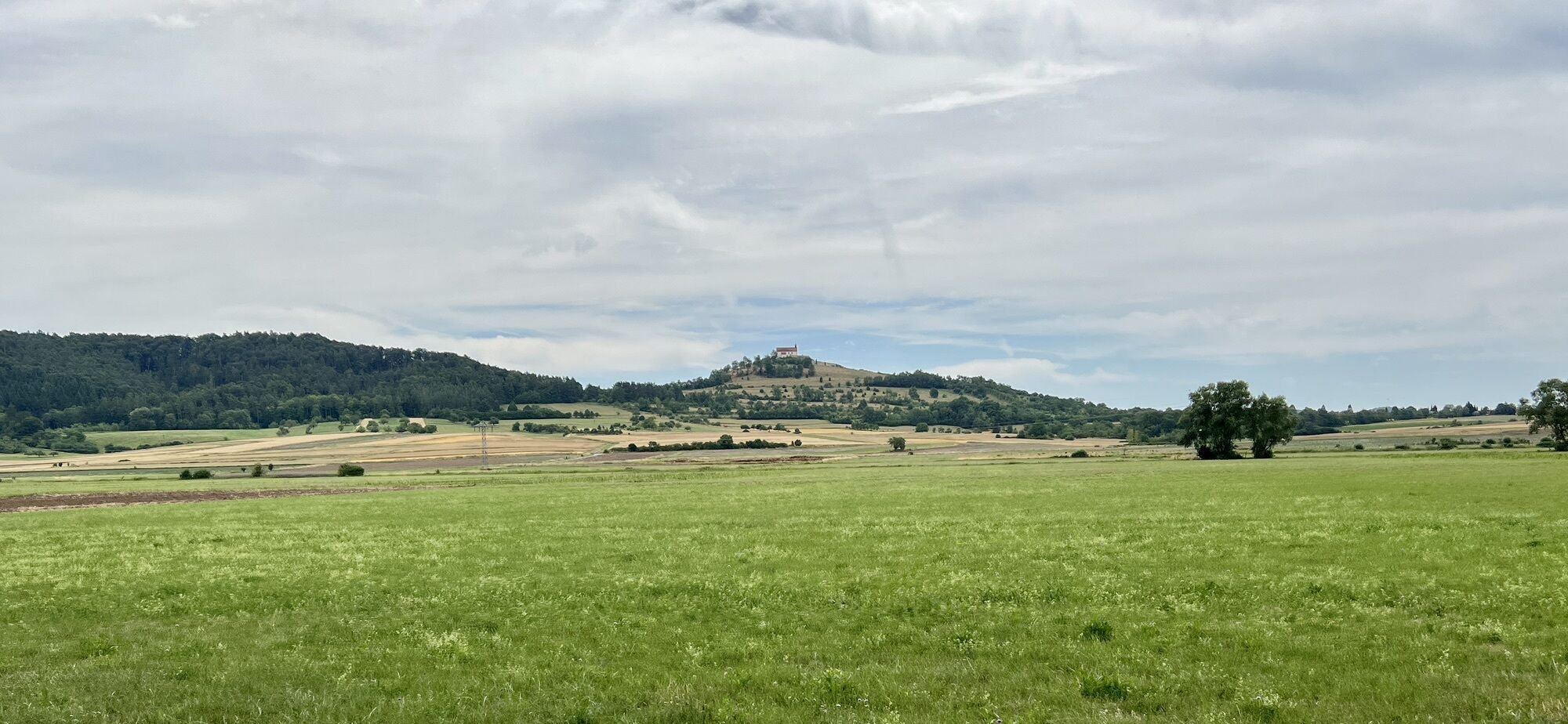
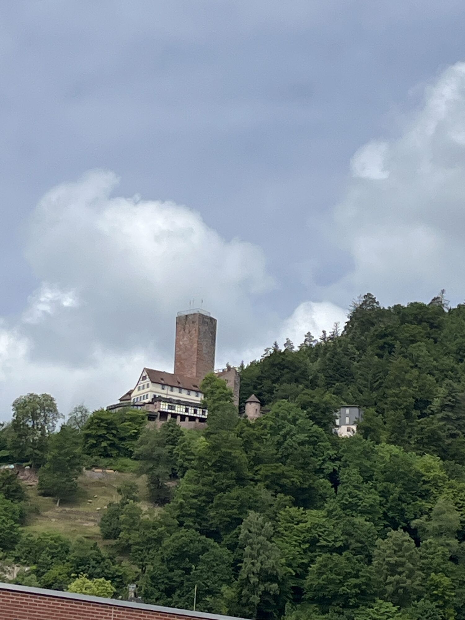
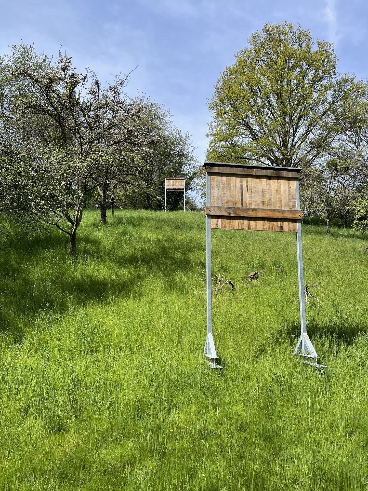
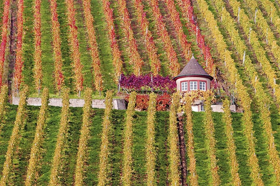
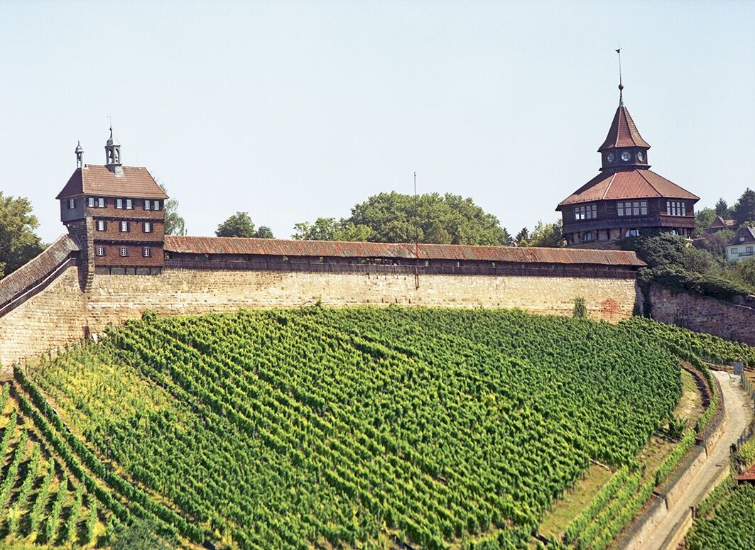
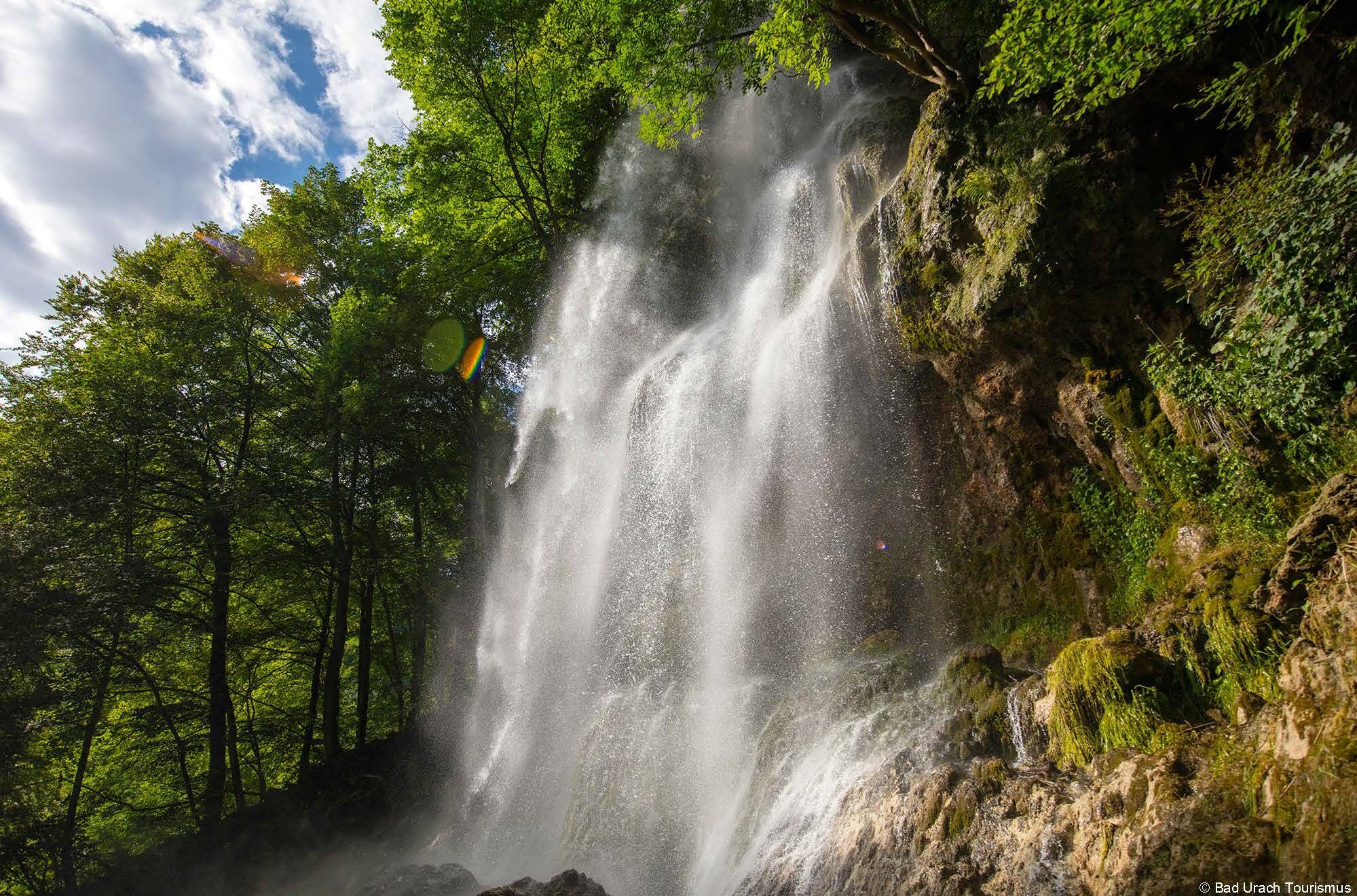
Along the Teck mountain and the already visible castle from afar, the Timber-Frame Road leads us through orchards near the Reußenstein ruins onto the plateau of the Swabian Alb. A detour to the Römerstein observation tower is worthwhile, from where one has a magnificent view into the Lauter valley and the Alpine foreland, the Filstal, and all around the Alb plateau. Near Donnstetten, we keep right to reach the west route towards the Black Forest. Via Römerstein, Grabenstetten, and Hülben, we finally descend steeply into the Erm valley. Bad Urach invites you to linger with the AlbThermen and the late medieval old town.
4. Bad Urach – Calw
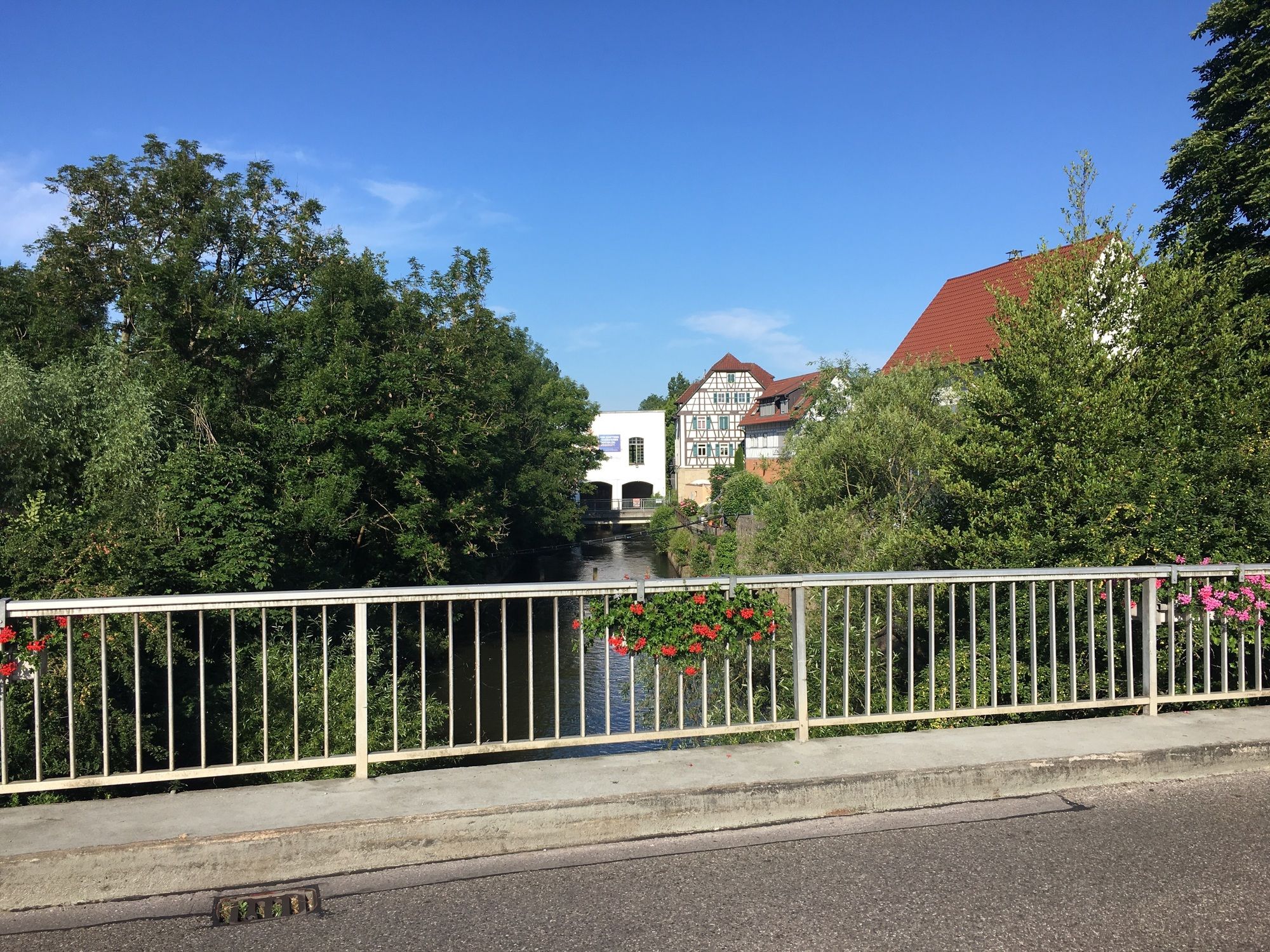
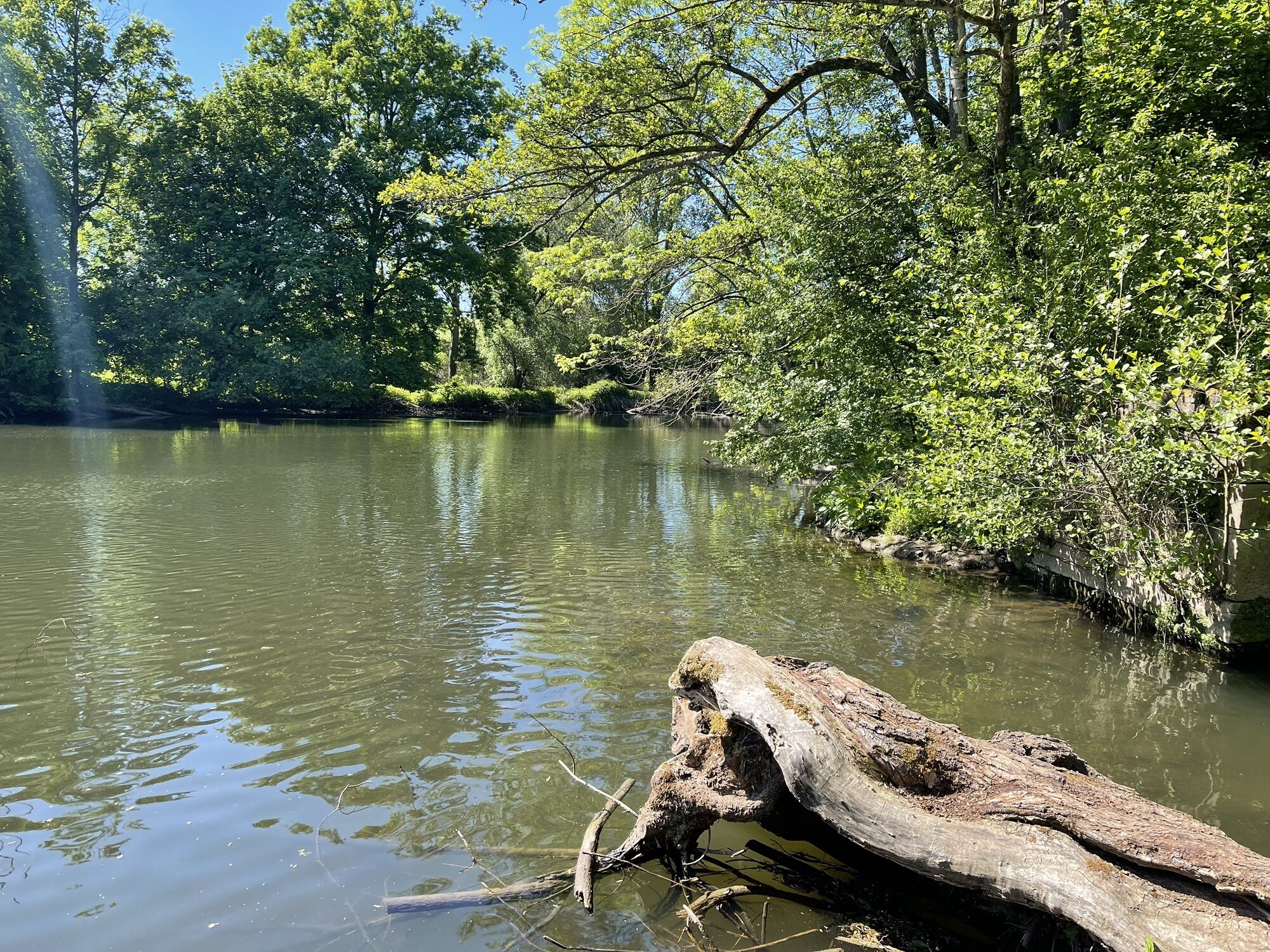
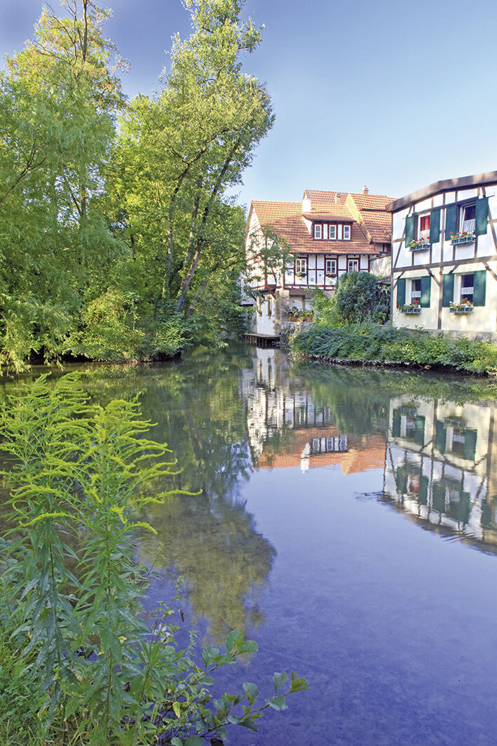
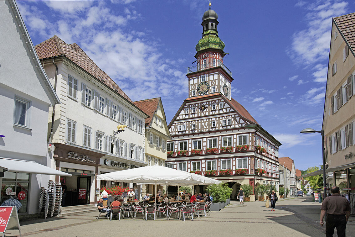
From Bad Urach, the cycle path leads downstream along the Erm via the municipality of Dettingen with its magnificent orchards as well as through the outlet city Metzingen. In Neckartenzlingen, we turn from the Erm towards the Neckar. We cycle upstream and reach the university town of Tübingen. Through the Ammertal and over the gentle hills of the Gäu landscape, it continues to Herrenberg with the impressive collegiate church. The path then leads to the Calw district Stammheim, where a refreshment at the outdoor pool awaits. Our next destination is the Hermann Hesse town of Calw in the Nagold valley.
5. Calw – Bietigheim
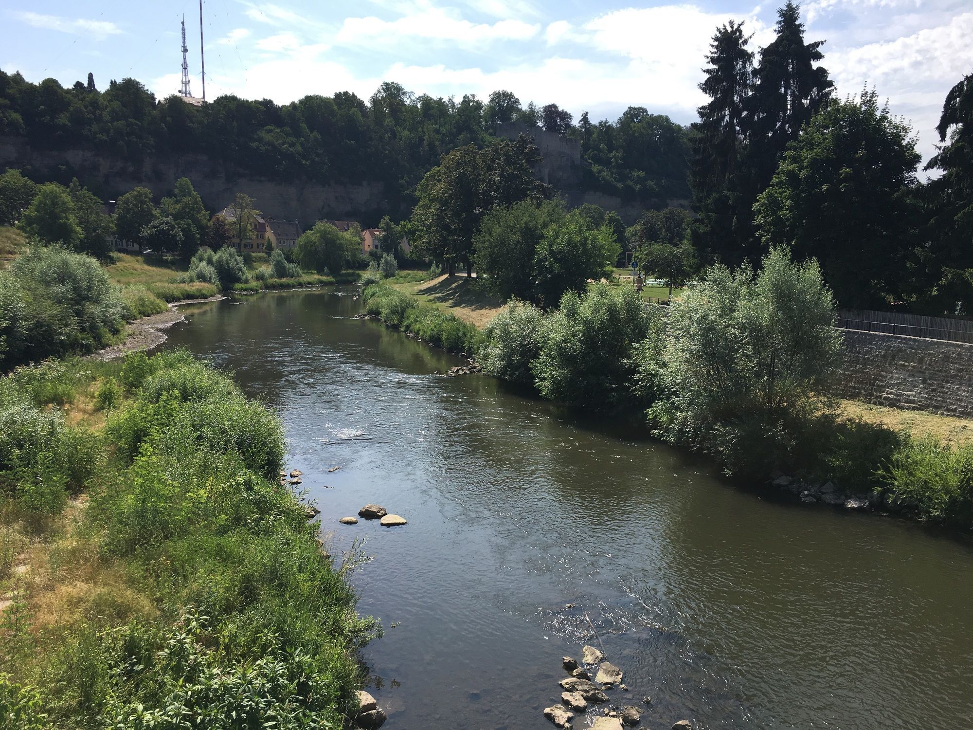
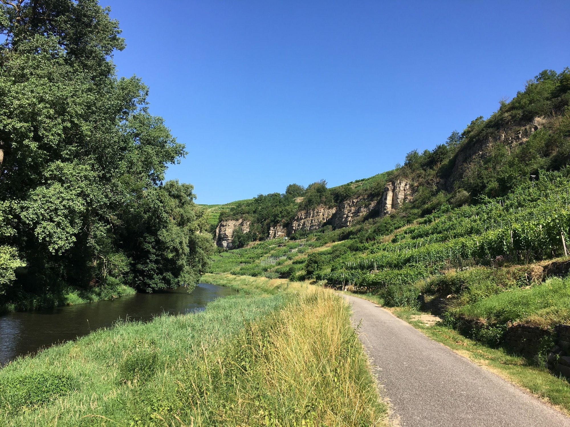
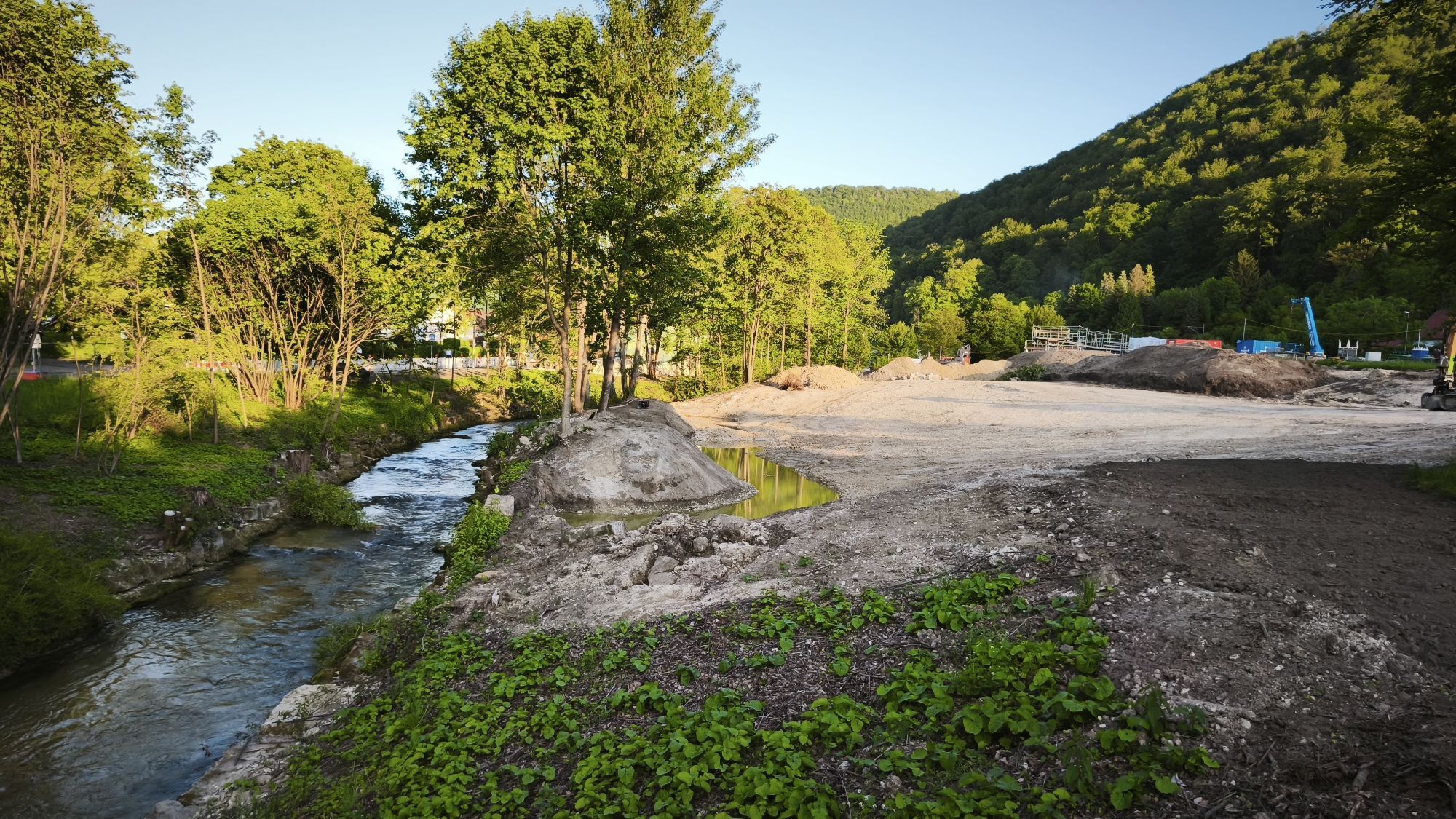
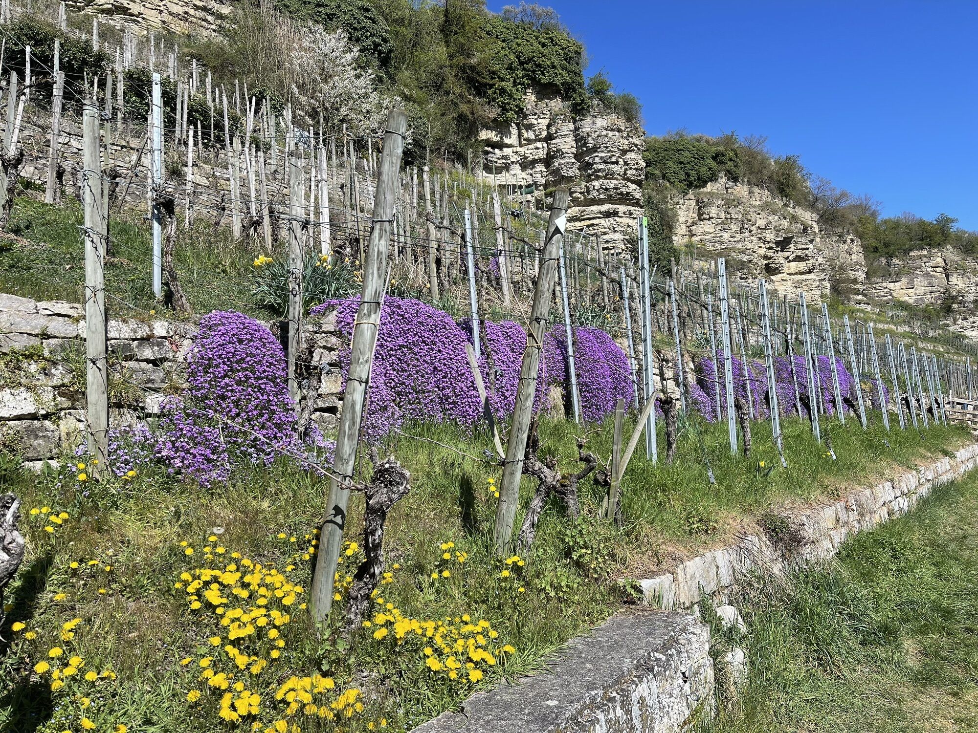
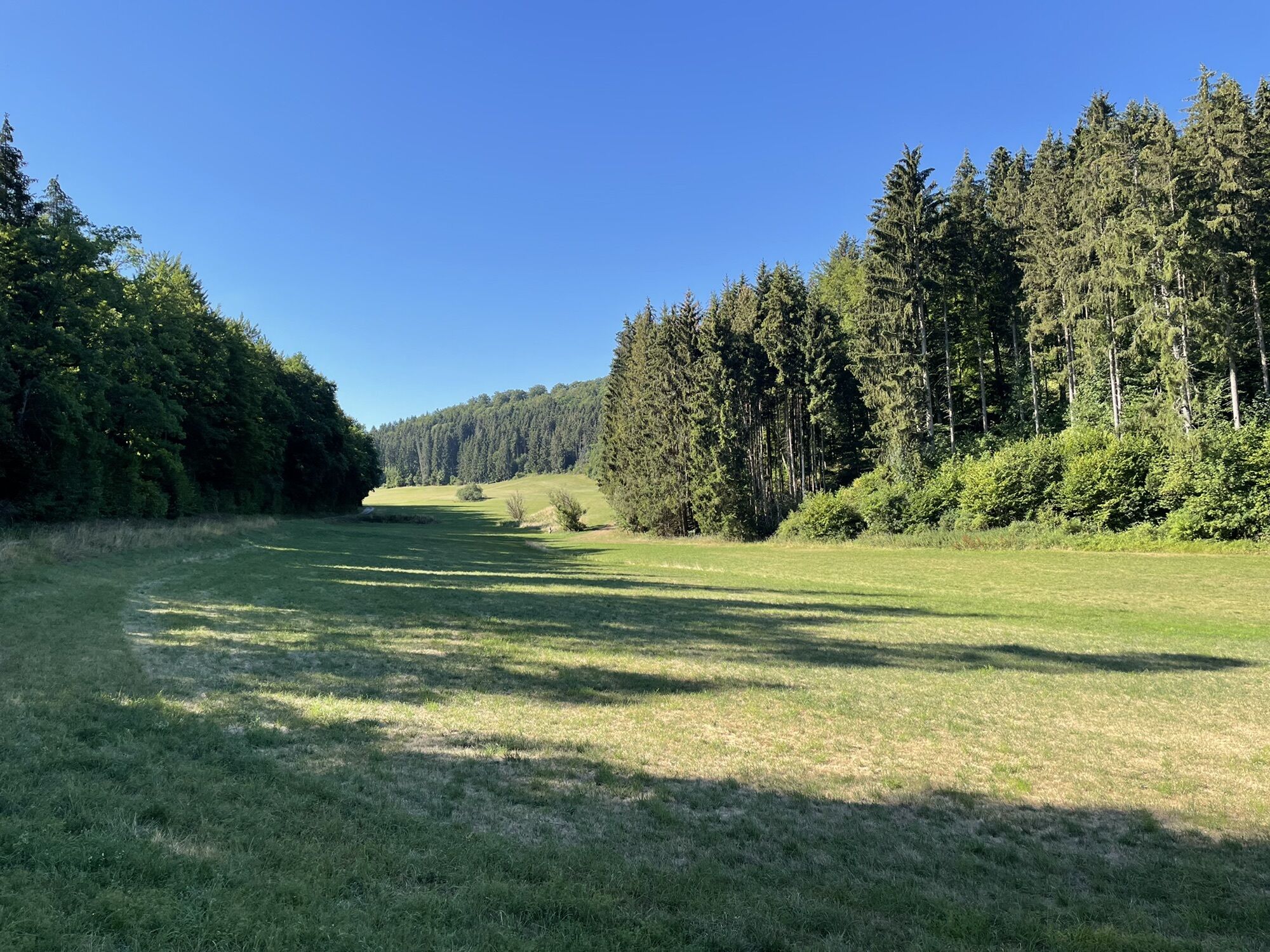
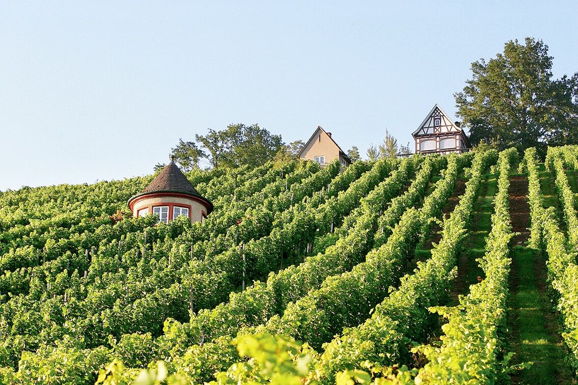
On the last stage, we follow the course of the Nagold through the Central/North Black Forest Nature Park and reach the “Golden City” Pforzheim. Via the wine towns Mühlhausen and Roßwag, we reach the charming Vaihingen along the Enz before finally returning to our starting point Bietigheim. Before that, a detour to the “Shepherd's Run City” Markgröningen is recommended.
Tak
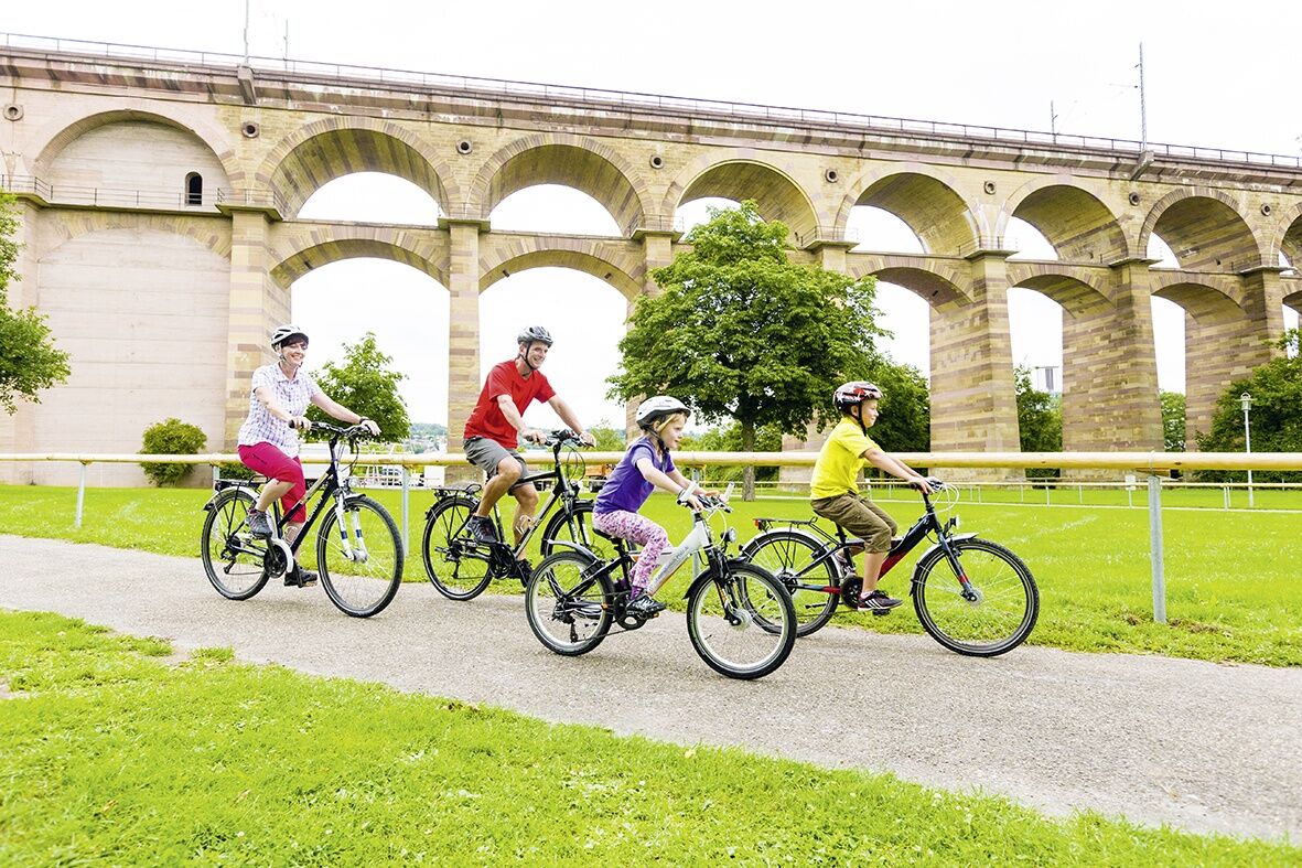
Bicycle helmet, repair kit, cycling gloves, sun protection, provisions, and drinking water
Via the A81 and B27 to Bietigheim-Bissingen
By regional trains and the S-Bahn from Stuttgart
Public parking in the urban area
2
Due to flooding and heavy rain events, the route along the Rems shore between Remseck-Neckarrems and Waiblingen-Hegnach is closed until further notice. A detour via Waiblingen-Hohenacker is signposted on site.
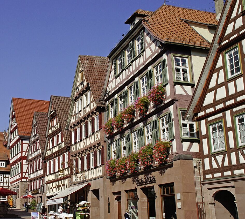
Timber-frame enthusiasts should check out the timber-frame trail in the old town of Herrenberg. 24 display panels explain the construction of the impressive houses.
Kamery internetowe z trasy
Herrenberg
Stuttgart Marktplatz
Sonderlandeplatz Grabenstetten EDSG
Zentraler Omnibus Bahnhof (ZOB)
Zentraler Omnibus Bahnhof (ZOB)
Zentraler Omnibus Bahnhof (ZOB)
Zentraler Omnibus Bahnhof (ZOB)
Panorama Therme Beuren
Panorama Therme Beuren
Panorama Therme Beuren
Panorama Therme Beuren
Panorama Therme Beuren
Schafscheuernberg
Altstadt Bietigheim
Marktplatz Bietigheim-Bissingen
Stuttgart, Schlossplatz
Cannstatt Schleuse und Wehr
Schleuse Hofen Oberwasser
Ludwigsburg Blühendes Barock
Bad Liebenzell
Bad Liebenzell
Bad Liebenzell
Tübingen
Hohen Neuffen
Popularne wycieczki w okolicy
- 4,0
Sieben Mühlen Tal Waldenbuch, Deutschland
średniWędrówka 18 km - 4,0
Stuttgarter Rössleweg (im Uhrzeigersinn)
średniWędrówka 58,5 km Esslinger Höhenweg
średniWędrówka 26,8 km- 4,5
Sillenbuch: Über Heumaden und Kemnat zum Eichenhain
światłoWędrówka 11,9 km - 5,0
Killesberg - Feuerbacher Heide - Bismarckturm - Rote Wand Stuttgart, Deutschland
światłoWędrówka 5,83 km Höhenweg Sillenbuch und Bußbachtal
światłoWędrówka 8,30 kmSillenbuch: Über Waldspielplatz und Haus des Waldes ins Ramsbachtal
światłoWędrówka 8,49 km- 5,0
Stuttgart Ultra sehr Zentral
średniWędrówka 53,0 km - 5,0
Mammutmarsch Stuttgart 2024 30KM neu
ciężkiWędrówka 30,0 km - 3,0
Feuerbacher Runde
średniWędrówka 17,8 km
Wędrówki i tropienie


Nie przegap ofert i inspiracji na następne wakacje
Twój adres e-mail została dodana do listy mailingowej.