Tour 31 Points de vues
ciężki
Pobierz tę trasę na swój telefon komórkowy
Tour 31 Points de vues
ciężki
Wędrówka
20,55
km
Zeskanuj kod QR i rozpocznij nawigację w aplikacji bergfex.


Wędrówki i tropienie





Tour 31 Points de vues
ciężki
Odległość
20,55
km
Czas trwania
06:00
h
Ascent
762
hm
Poziom morza
444 -
893
m
Ścieżka do pobrania
Tour 31 Points de vues
ciężki
Wędrówka
20,55
km
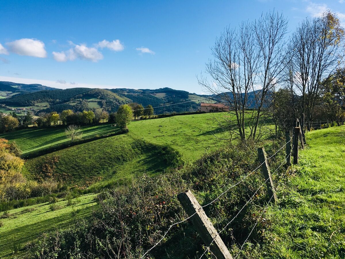
At the end of the circuit, view of the railway loop, which allows trains to gain 43 m in altitude without exceeding the 11 mm per meter gradient. Beware, stony descent between the Bois des Princes and...
Opis
At the end of the circuit, view of the railway loop, which allows trains to gain 43 m in altitude without exceeding the 11 mm per meter gradient. Beware, stony descent between the Bois des Princes and the Croix Baleu. At km 8.5, at the post ʺPlat of Mollardsʺ, possibility to return to the village (2.4 km).
Average pace of 3.5km/h.
Average pace of 3.5km/h.
Trasa
Église Saint-Nizier
(520 m)
Miejsce kultu
0,0 km
Chevenal
(523 m)
Rozliczenie
0,7 km
Chavanne
(491 m)
Rozliczenie
3,6 km
Chevelas
(807 m)
Rozliczenie
7,0 km
La Collonge
(478 m)
Rozliczenie
18,2 km
Les Petits Trèves
(432 m)
Rozliczenie
19,7 km
Église Saint-Nizier
(520 m)
Miejsce kultu
20,3 km
Trasa
Tour 31 Points de vues
ciężki
Wędrówka
20,55
km
Église Saint-Nizier
(520 m)
Miejsce kultu
0,0 km
Saint-Nizier-d'Azergues
(519 m)
Wioska
0,0 km
Au Coeur du Village
(518 m)
Restauracja
0,0 km
Chevenal
(523 m)
Rozliczenie
0,7 km
Chavanne
(491 m)
Rozliczenie
3,6 km
Les Forêts
(644 m)
Rozliczenie
5,0 km
Chevelas
(807 m)
Rozliczenie
7,0 km
Le Cantin
(559 m)
Rozliczenie
17,2 km
La Collonge
(478 m)
Rozliczenie
18,2 km
Le Montcenis
(471 m)
Rozliczenie
18,8 km
Les Petits Trèves
(432 m)
Rozliczenie
19,7 km
Au Coeur du Village
(518 m)
Restauracja
20,3 km
Église Saint-Nizier
(520 m)
Miejsce kultu
20,3 km
Saint-Nizier-d'Azergues
(519 m)
Wioska
20,5 km


Nie ma jeszcze recenzji
Popularne wycieczki w okolicy
La forêt de la Cantinière - Beaujolais - Saint-Cyr-le-Châtoux
światłoWędrówka 11,3 kmDe l’Aze à l’Ergues - Beaujolais Vert - Claveisolles
światłoWędrówka 13,0 km- 5,0
B3 Mountain Bike Tour from Beaujeu to St Didier/Beaujeu
ciężkiMountainbike 22,6 km The golden stones - Between Pierres Dorées and Val d’Azergues - Loop 7.4
ciężkiDroga rowerowa 57,6 kmThe forest of Brou - Beaujolais - Dième
światłoNordic Walking 10,5 kmThe Cantinière forest
światłoTrasa tematyczna 2,96 kmB9 Mountain Bike Tour Marchampt
ciężkiMountainbike 19,8 kmAround the Lac des Sapins - Beaujolais Vert - Cublize
światłoWędrówka 4,76 kmVTT M9 circuit from propières to Azolette
ciężkiMountainbike 20,4 kmThe tour of the Crochet mountain and Tourvéon mount
światłoWędrówka 13,1 km

Wędrówki i tropienie

Ponad 550.000 propozycji wycieczek, szczegółowe mapy i intuicyjny planer tras sprawiają, że aplikacja jest niezbędna dla wszystkich entuzjastów przyrody.

Nie przegap ofert i inspiracji na następne wakacje
Zapisz się do newslettera
Błąd
Wystąpił błąd. Spróbuj ponownie.Dziękujemy za rejestrację
Twój adres e-mail została dodana do listy mailingowej.
Wycieczki po całej Europie
Austria Szwajcaria Niemcy Włochy Słowenię Francja Holandia Belgia Polska Liechtenstein Czechy Słowacja Hiszpania Chorwacja Bośnia i Hercegowina Luksemburg Andorra Portugalia Islandia Wielka Brytania Irlandia Grecja Albania Macedonia Północna Malta Norwegia Czarnogóra Mołdawia Kosowo Węgry San Marino Rumunia Estonia Łotwa Białoruś Cypr Litwa Serbia Bułgaria Monako Dania Szwecja Finlandia





