







Hike through Pont des Tines and Grottes du Pic

Poziom trudności: T1
This relatively flat hike allows you to discover many geological and historical curiosities of Haut Valromey.
If an approach is possible, access to the Pic cave is however reserved for speleologists. It...
If an approach is possible, access to the Pic cave is however reserved for speleologists. It is still possible to visit the silver fountain and the bench of lovers.
Follow the yellow markup.

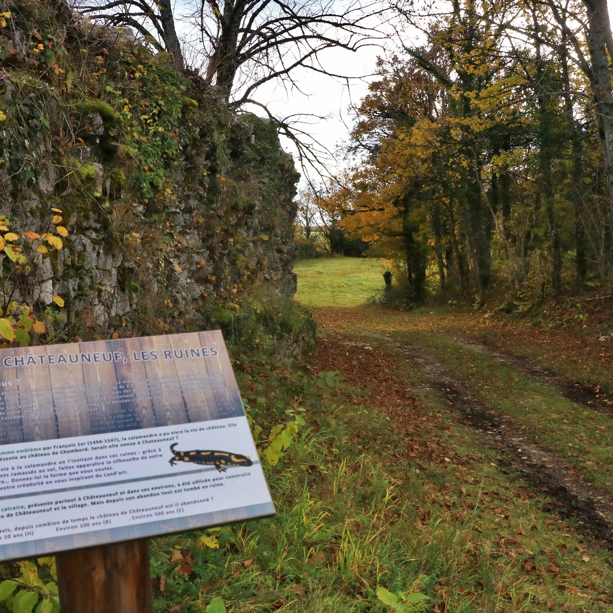
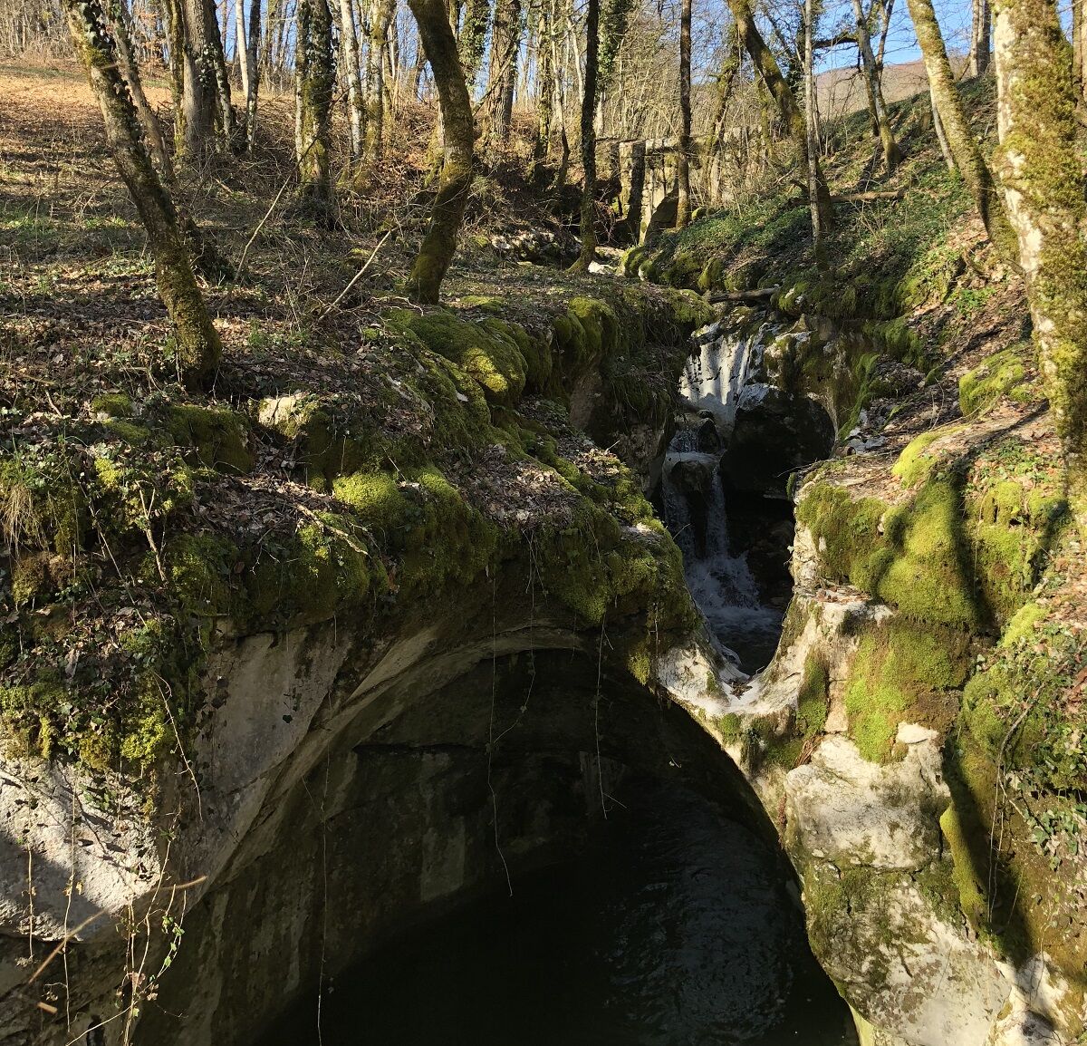
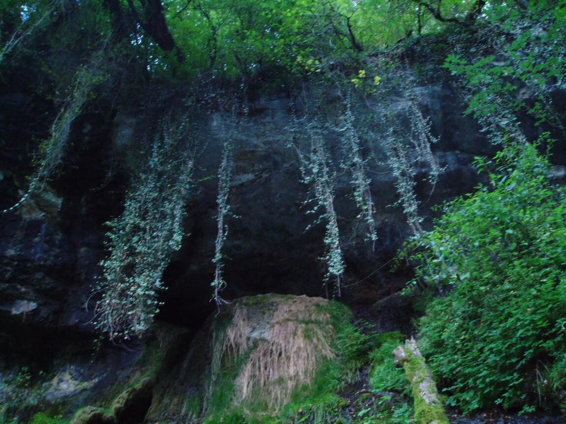
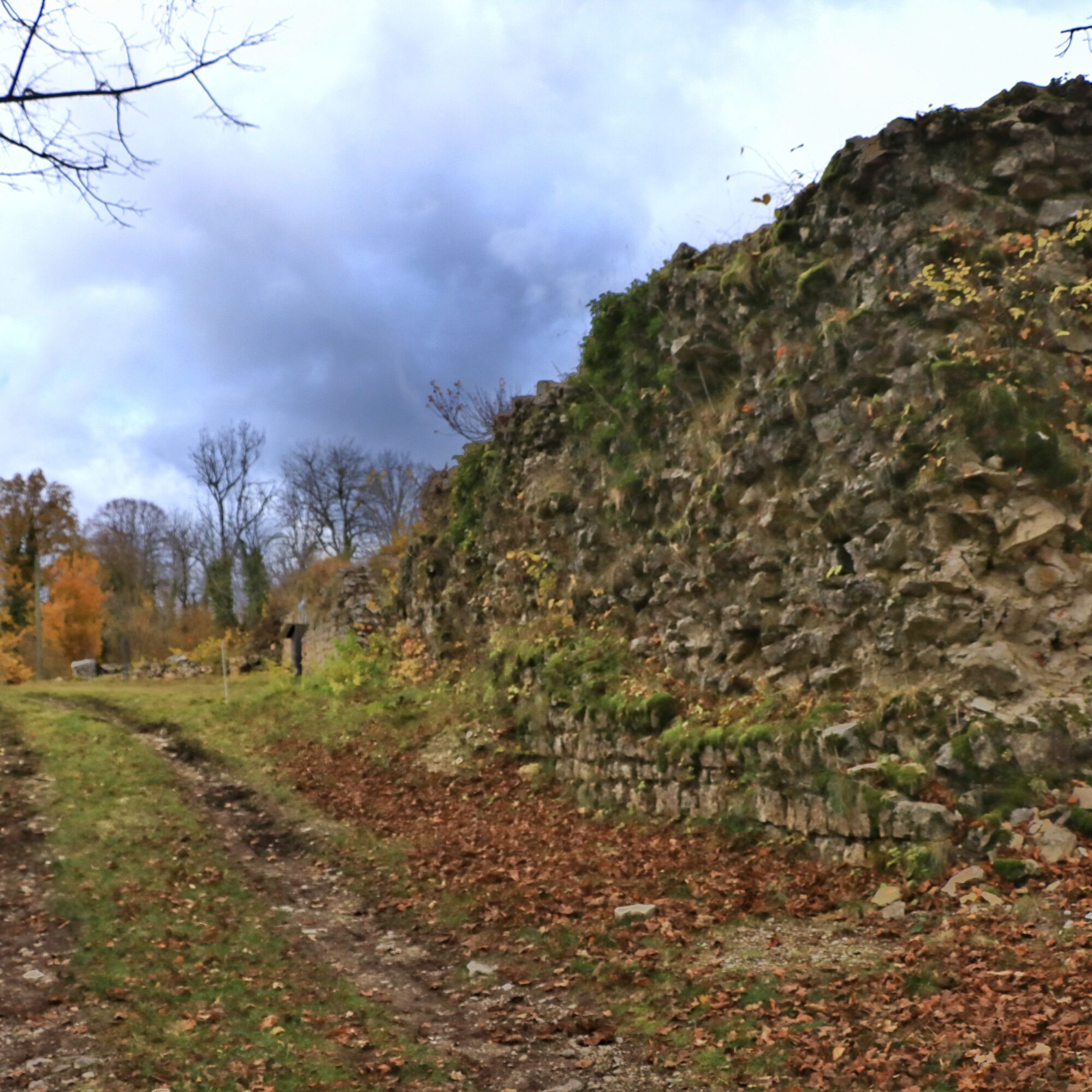

Tak
It is necessary to have good footwear to do this hike.
The loop does not have difficult passages, however please remain attentive as the route follows the road between Songieu and Hotonnes for a few hundred meters.
Defective signage, incidents / safety, usage conflicts, illegal dumping? Locate and share the problem encountered on the national alert system via the SURICATE app or through the site https://sentinelles.sportsdenature.fr/
Less than 1h30 from Lyon, Songieu is accessible via motorway A42 then A40 towards Geneva, exit Saint Martin du Fresne.
1h05 from Geneva, Songieu is accessible via A40 exit Bellegarde, Châtillon en Michaille.
The start is not accessible by public transport.
Several parking spaces are available opposite the church on rue de Sully.
T1
APIDAE Tourism data updated on 10/24/2022 by "Office de Tourisme Bugey Sud Grand Colombier".
An error on this sheet? Write to the owner mentioning these references:
Sheet name: Hiking circuit of the Pont des Tines and the Pic Caves | Sheet ID: 167090 | URL of this Outdooractive page.
Very pleasant route with very little elevation, it is however rather advised in spring, autumn, or after heavy rains because the Séran river at the Pont des Tines and the silver fountain quickly dry up during the summer period.

Popularne wycieczki w okolicy
- 3,0
Hike: on the ridge of the Grand Colombier (circuit des crêtes)
średniWędrówka 11,3 km - 1,0
Hike of the Clairefontaine waterfall
światłoWędrówka 5,46 km Hike: A wolf life.
światłoWędrówka 7,22 km3 day-hike in Jura: hiking trails through Plateau de Retord and Grand Colombier
ciężkiWędrówka 50,9 kmHike: mountain pastures of the Grand Colombier
średniWędrówka 5,23 kmHike of the Grand Colombier starting from Munet
ciężkiWędrówka 16,0 kmHike: on the steps of the WW2 French resistance.
ciężkiWędrówka 17,8 kmHike: Tour de Retord
ciężkiWędrówka 18,6 kmHike: Grand Colombier from Culoz
ciężkiWędrówka 26,1 kmHike in Bugey: Les crêtes d'Hergues
średniWędrówka 8,63 km

Wędrówki i tropienie


Nie przegap ofert i inspiracji na następne wakacje
Twój adres e-mail została dodana do listy mailingowej.





