


Hiking in Bugey: La Ronde des Plans
Poziom trudności: T1
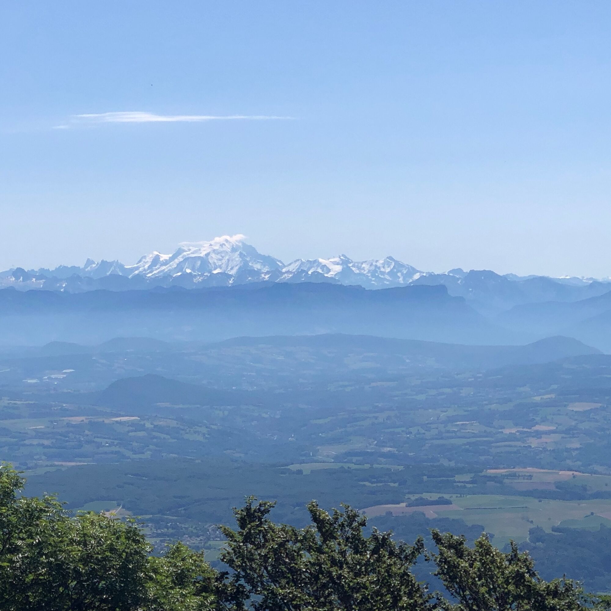
On a clear day, the Crêt de Beauregard panorama facing Mont Blanc offers an impressive panorama of the entire Alps.
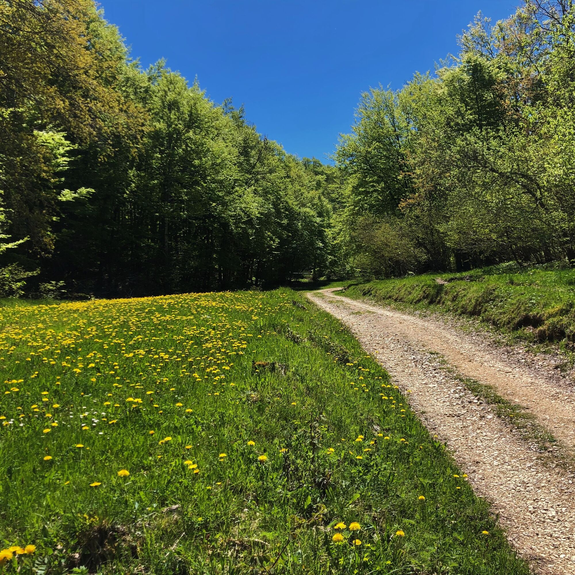
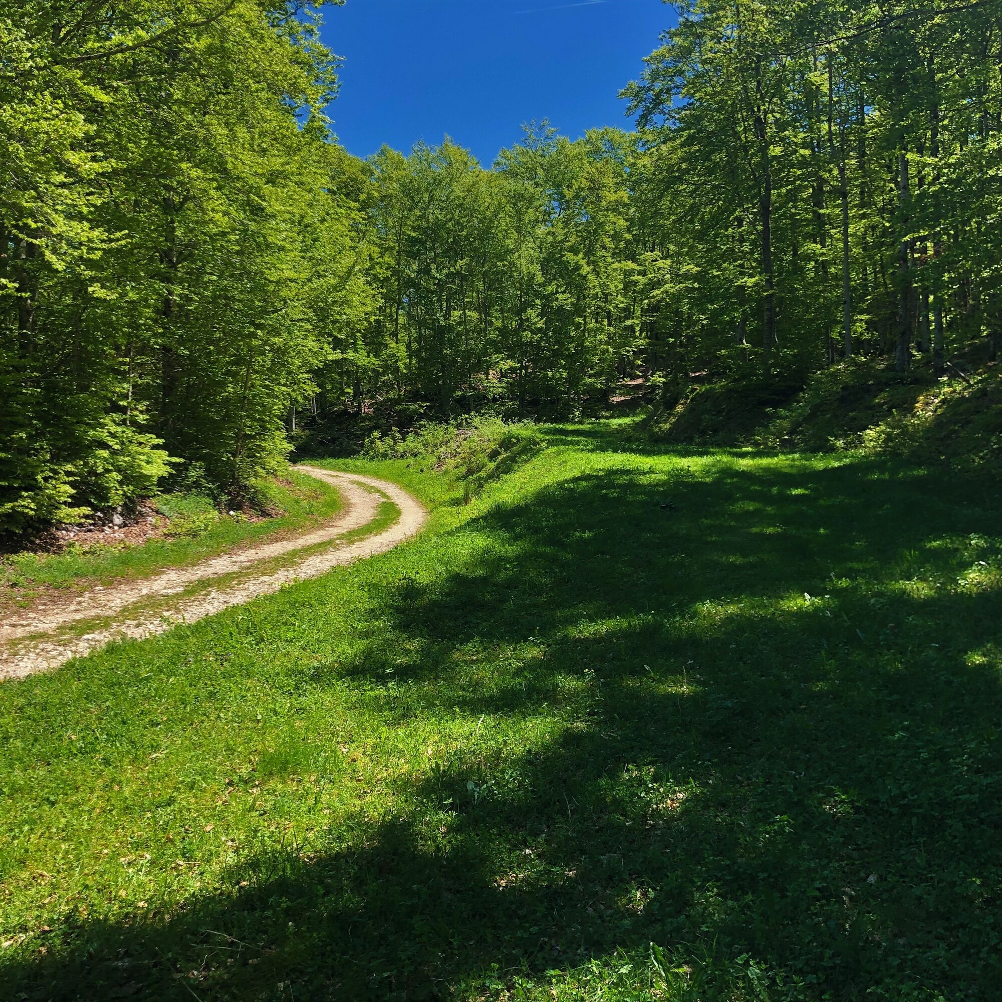
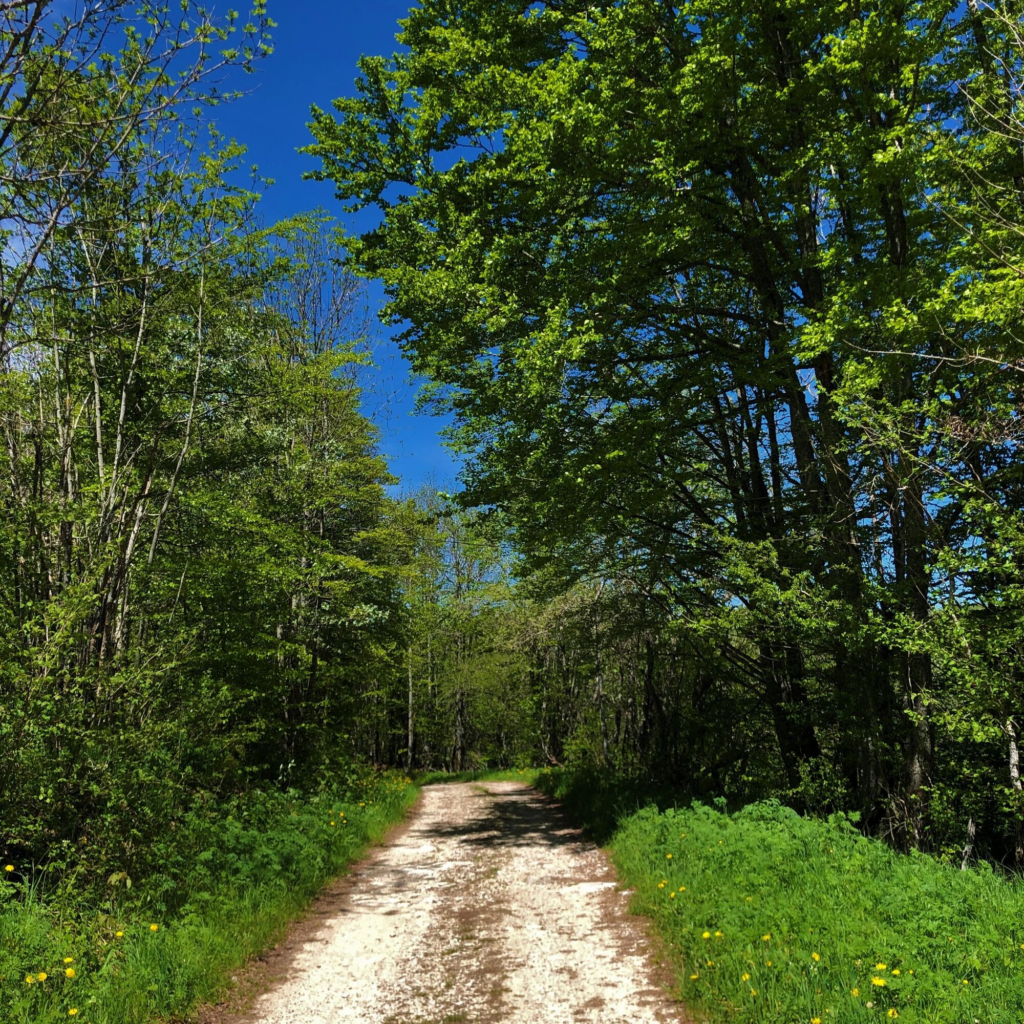
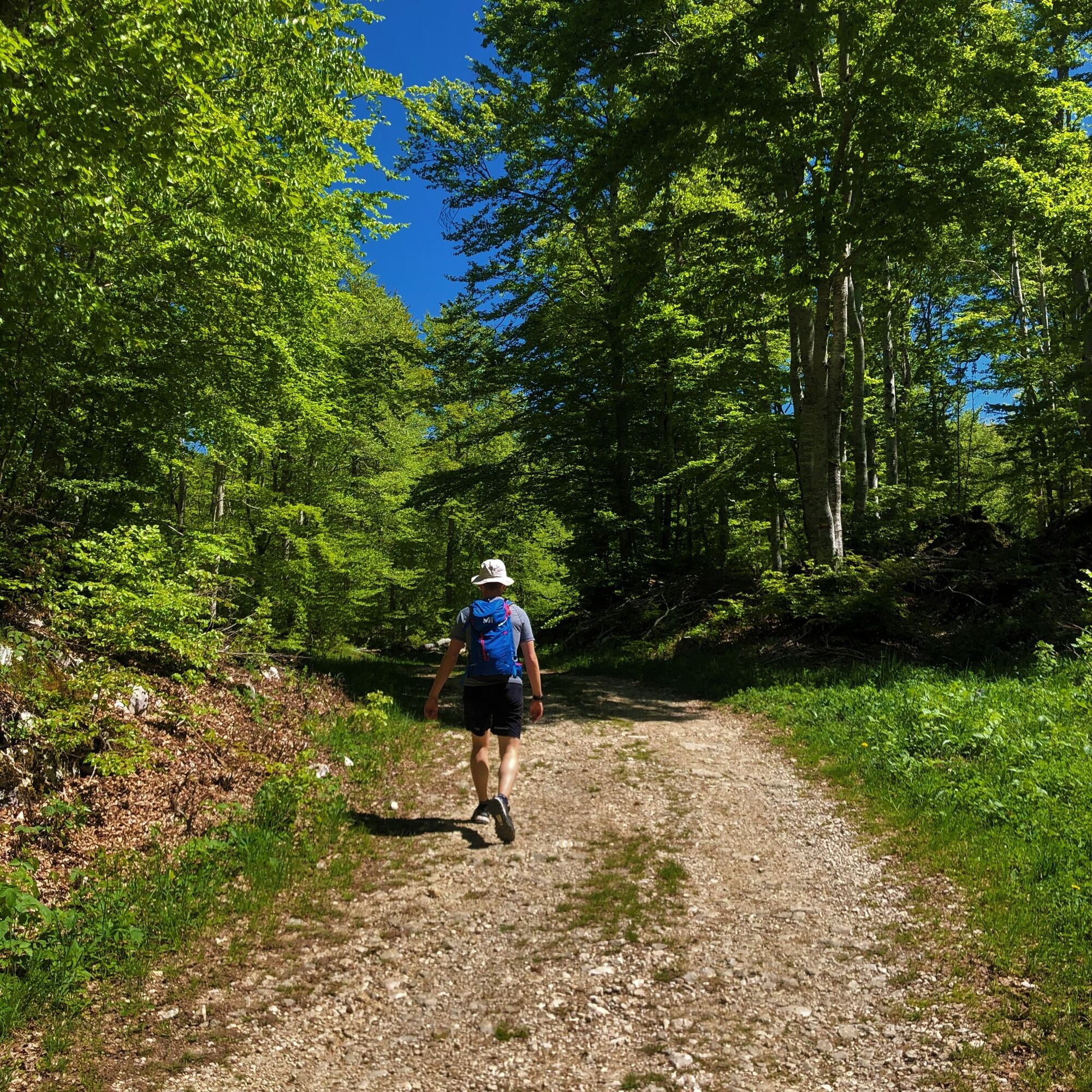
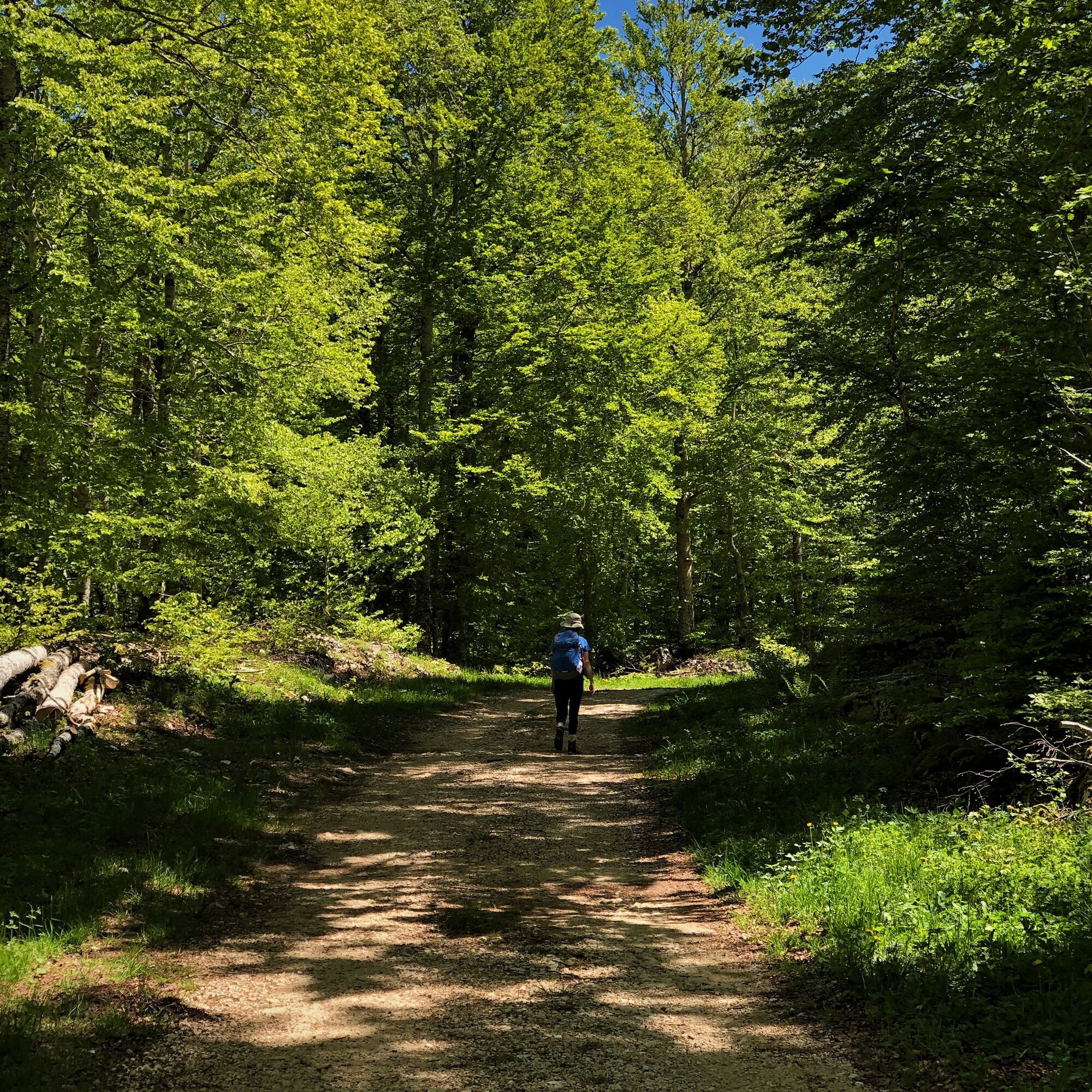
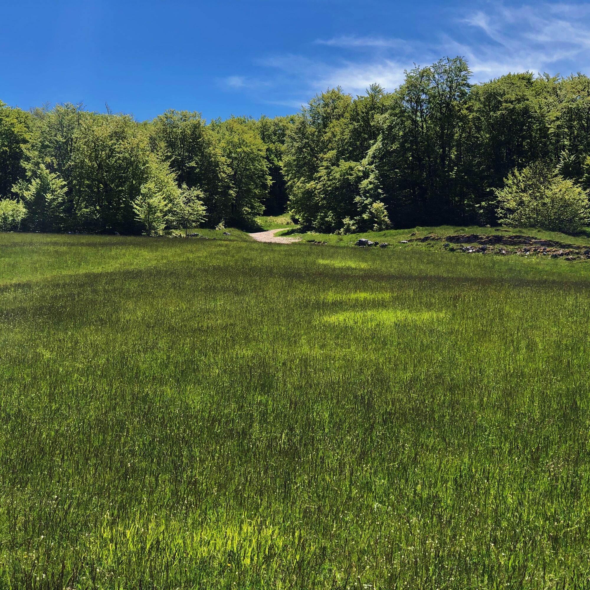
Between the beech forests and the valleys of the south of the Jura Massif, you will stroll...
Between the beech forests and the valleys of the south of the Jura Massif, you will stroll along the paths of the set of Luc Jacquet's film "The Fox and the Child".
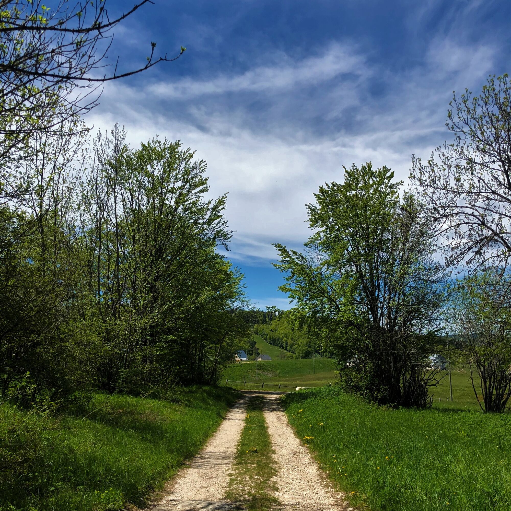
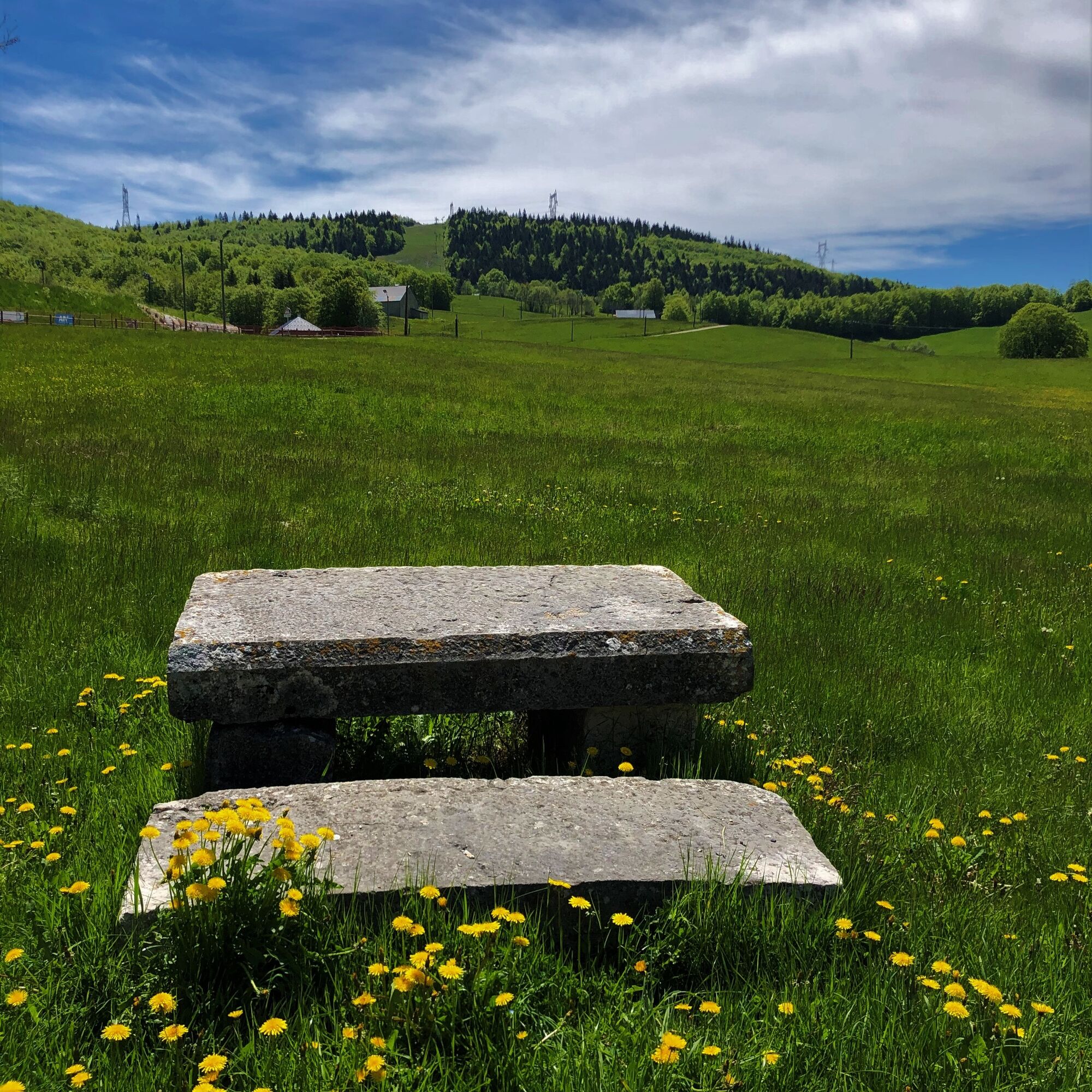
From the Terments cross to the end of the hike, you will also benefit from several viewpoints over the Plans d'Hotonnes, ski resort in the south of the Jura Massif, a paradise for cross-country skiers and snowshoe hikers. winter and mountain bikers, hikers, orienteers, biathletes and simply lovers of the wide open spaces of the Plateau de Retord the rest of the year.
You will cross several mountain pastures, we thank you for keeping your dogs on a leash at all times. Some herds may be accompanied by guard dogs, we thank you for not trying to pet them, not feeding them, not approaching them, not crossing the herd but rather calmly walking around it.
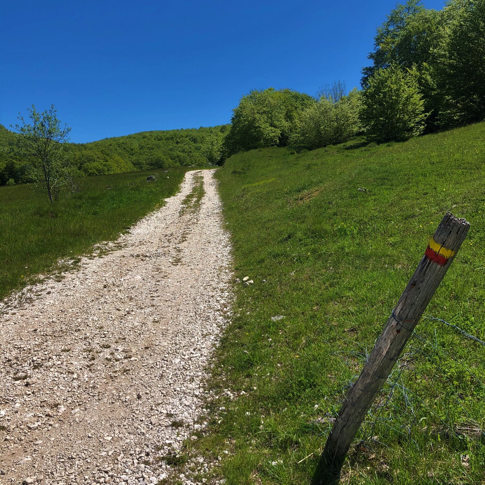
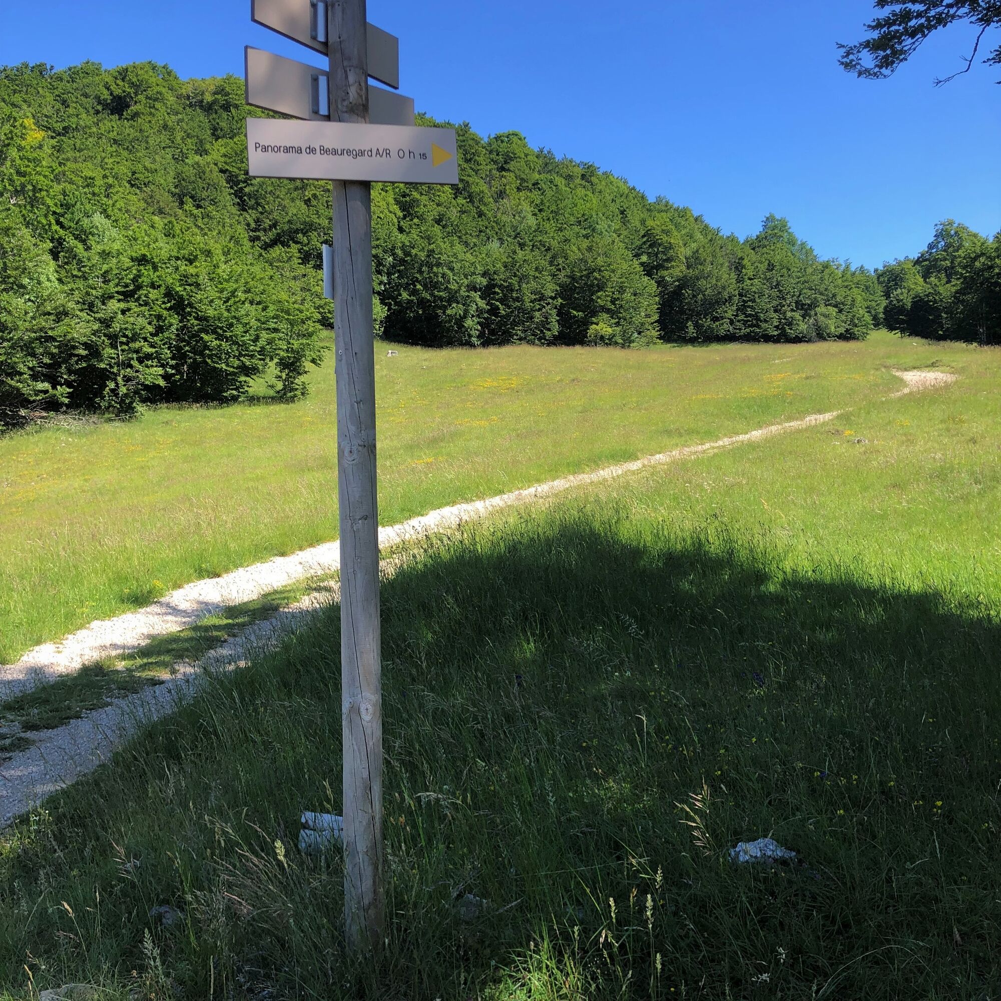
Follow the yellow markup and the sitckers "RP"
Also find this hike in consultation and download on the platform and the free application Ain Outdoor.


The route is detailed on a sheet available for sale at the Tourist Office for 1 €.
Detailed route in the guidebook "hiking in Bugey" by the Ain Departmental Hiking Committee including 71 hikes to discover Bugey. Available for sale at the Tourist Office for 14 €.
Tak
Tak
It is necessary to wear sturdy shoes.
This hike does not have difficult sections.
However, the route crosses the pastures of the Plateau de Retord, so great caution is recommended when you encounter a herd.
Some herds are accompanied by protection dogs; in this case, it is strongly recommended not to cross them but to go around. Please keep your dogs on a leash and always close the enclosures behind you.
Check the interactive map Ma Patou and learn the behavior to adopt: https://www.pasto-kezako.fr/ou-sont-les-chiens-de-protection-2/
Defective markings, incidents / safety, usage conflicts, illegal dumping? : locate and share the problem encountered on the national alert system via the SURICATE app or via the website https://sentinelles.sportsdenature.fr/
From Lyon, take the A42 then the A40 towards Geneva until the Saint Martin du Fresne exit where the Plans d'Hotonnes resort is indicated.
From Mâcon, take the A40 towards Geneva until the Saint Martin du Fresne exit where the Plans d'Hotonnes resort is indicated.
The Plans d'Hotonnes resort is not accessible by public transport.
There are many parking spaces available in the different parking lots of the Plans d'Hotonnes resort.
T1
Free parking in the resort.
Good deals from the Tourist Office.
This hike in the heart of the Plateau de Retord lets you discover the magnificent viewpoint of Beauregard, its panorama of Mont Blanc and the Alps range!
After the effort, enjoy the Ain's temps loisirs shop in the heart of the resort which offers refreshments, light meals, an eco-friendly souvenir shop, and a wellness area composed of Norwegian baths and sauna.
This route is part of the "Ain Outdoor" selection.
Popularne wycieczki w okolicy
3 day-hike in Jura: hiking trails through Plateau de Retord and Grand Colombier
ciężkiWędrówka 50,9 kmMTB track 14 red - Retord - les balcons du Mont Blanc - Espace FFC Ain Forestière
ciężkiMountainbike 29,5 kmHike: Tour de Retord
ciężkiWędrówka 18,6 kmHike: on the steps of the WW2 French resistance.
ciężkiWędrówka 17,8 kmRunning trail: Retord tour
ciężkiTrailrunning 18,6 kmCycling route: Du col du Ballon à la Combe de Léchaud
ciężkiDroga rowerowa 122,6 kmMultiday mountain biking loop : Mountainbiking on Grand Colombier and Retord Plateau - Espace FFC Ain Forestière
ciężkiMountainbike 92,8 kmHike in Bugey: Les crêtes d'Hergues
średniWędrówka 8,63 kmMountain bike trail 11 - Le tour de la Chèvre - Espace FFC Ain Forestière
światłoMountainbike 8,30 kmMTB Course 13 red - South of the Plateau de Retord - Espace FFC Ain Forestière
średniMountainbike 22,4 km
Wędrówki i tropienie


Nie przegap ofert i inspiracji na następne wakacje
Twój adres e-mail została dodana do listy mailingowej.