






Running trail: Climb of the Grand Colombier from Valromey
Poziom trudności: T2
Starting point: go to Assin, hamlet of Virieu le Petit and follow the indications that will lead you to a road that can be driven on. After 600 m, you will find a small car park in the woods.

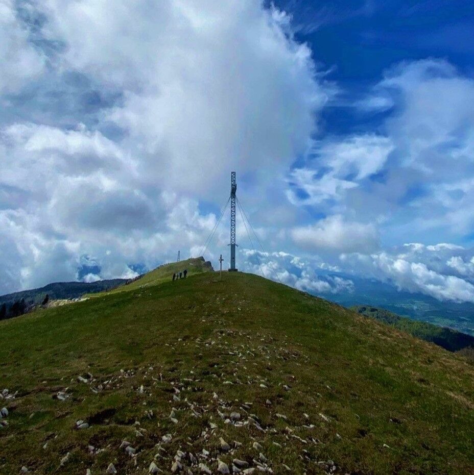
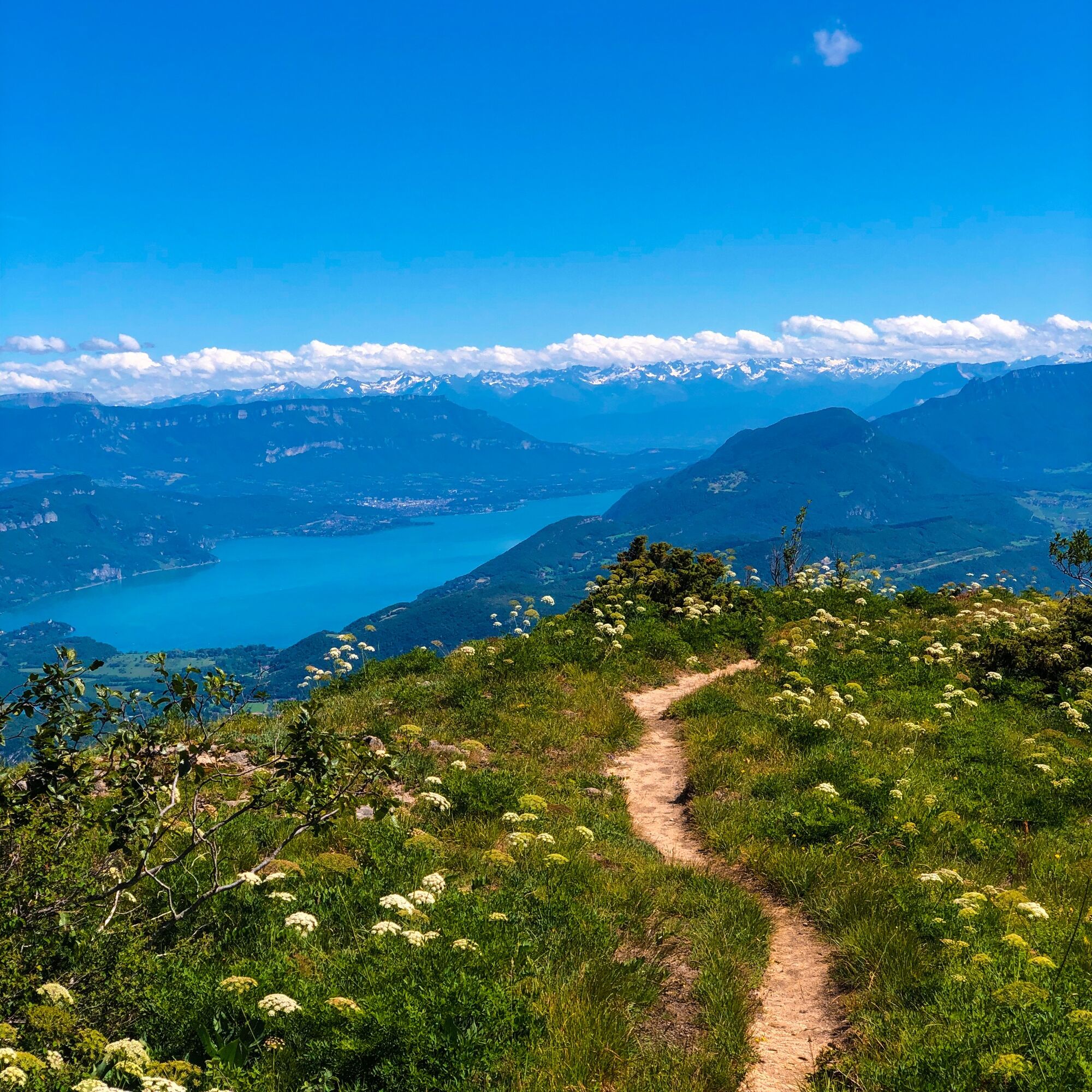
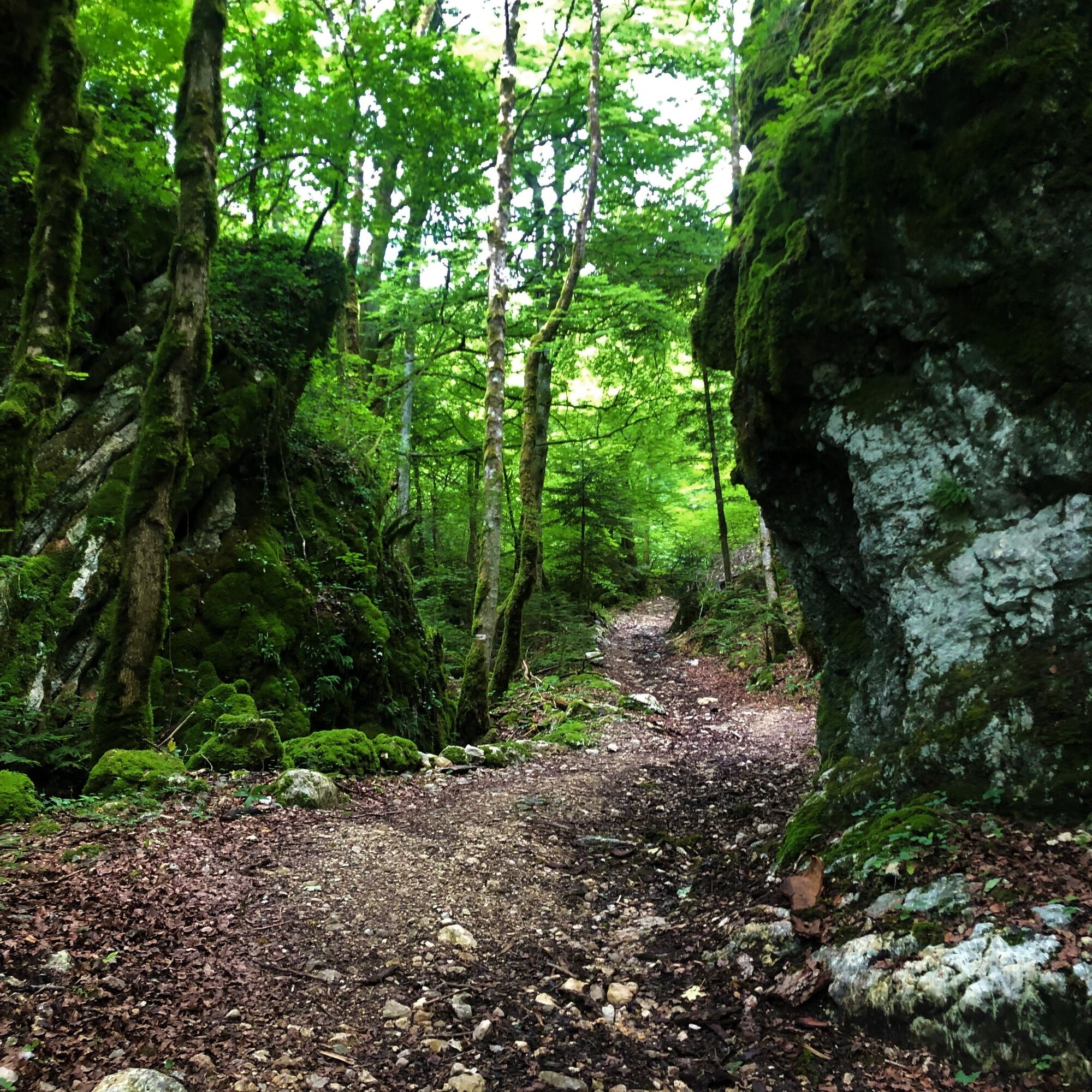
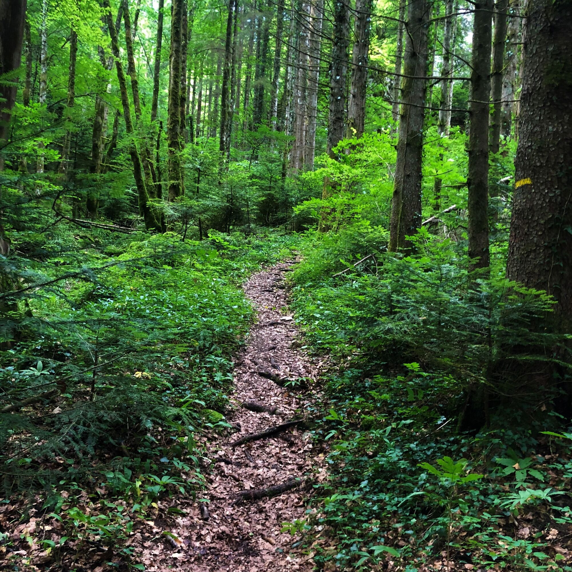
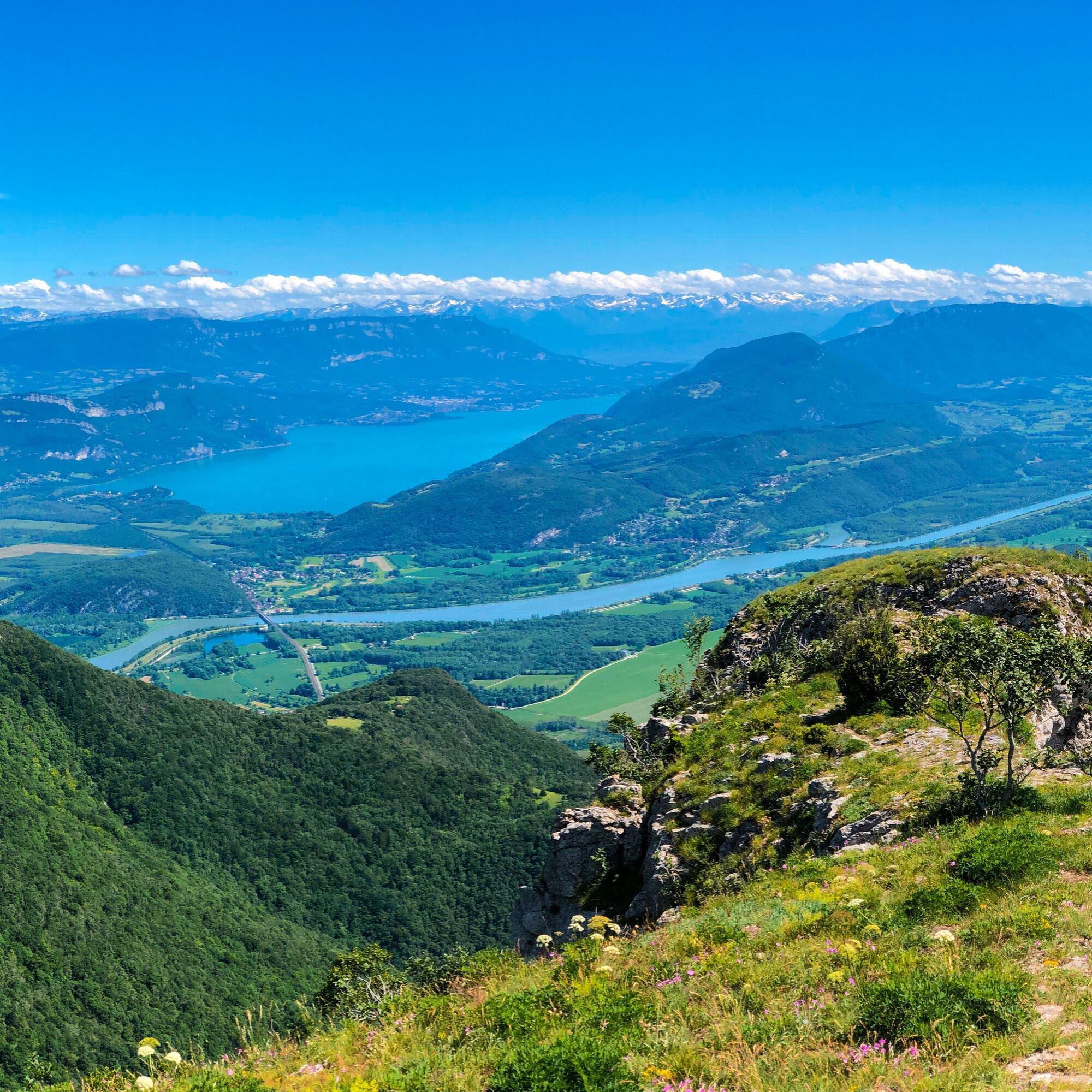
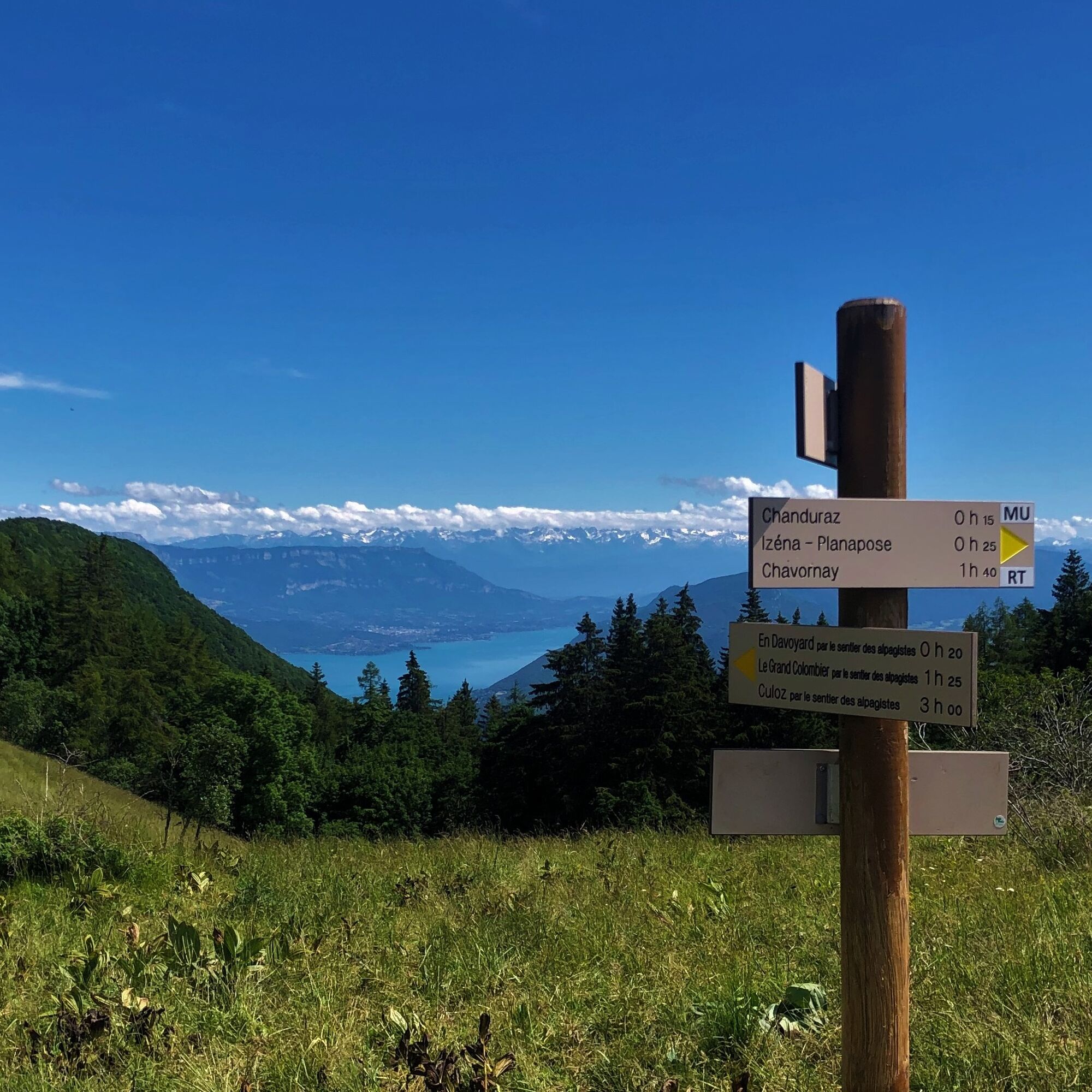
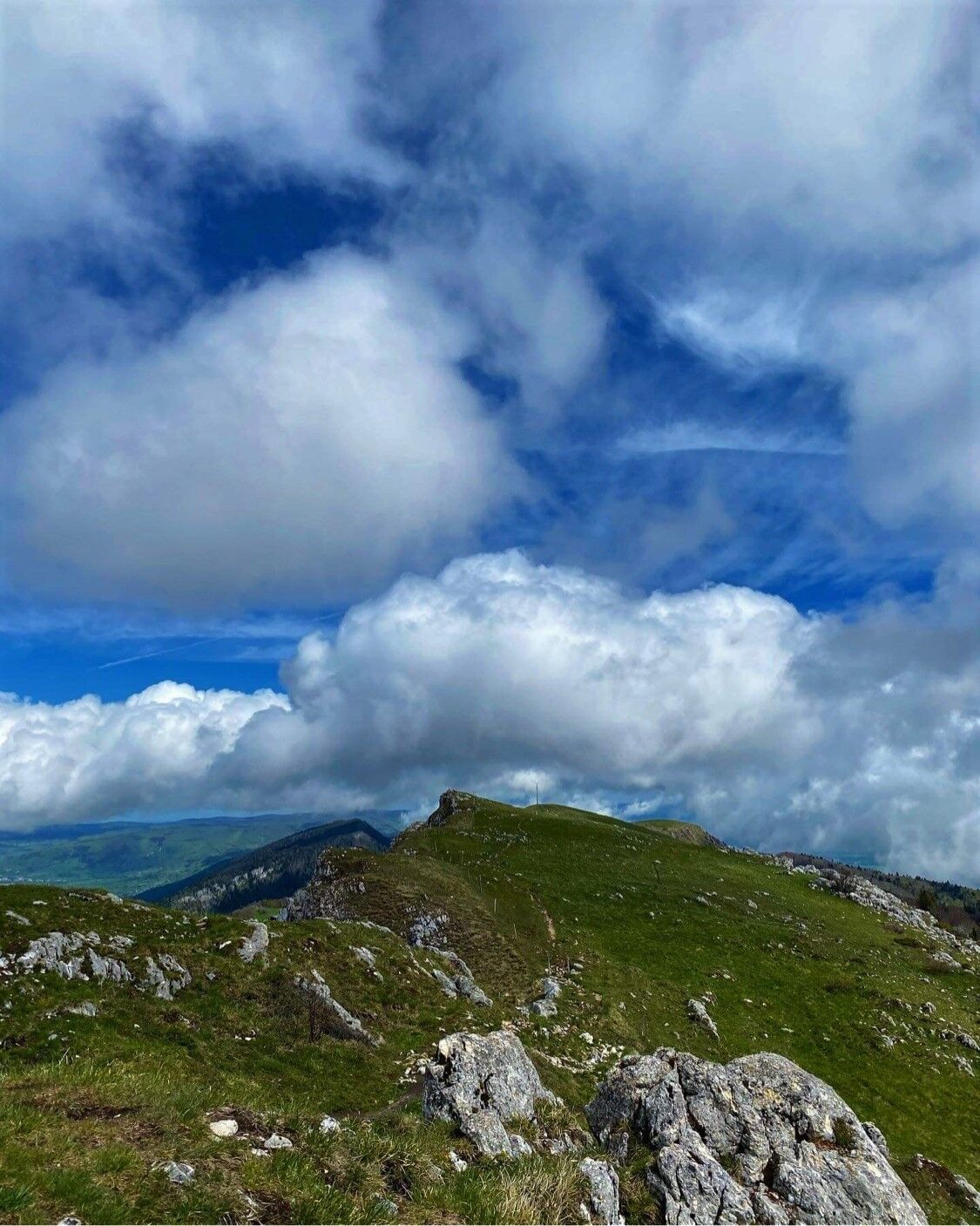
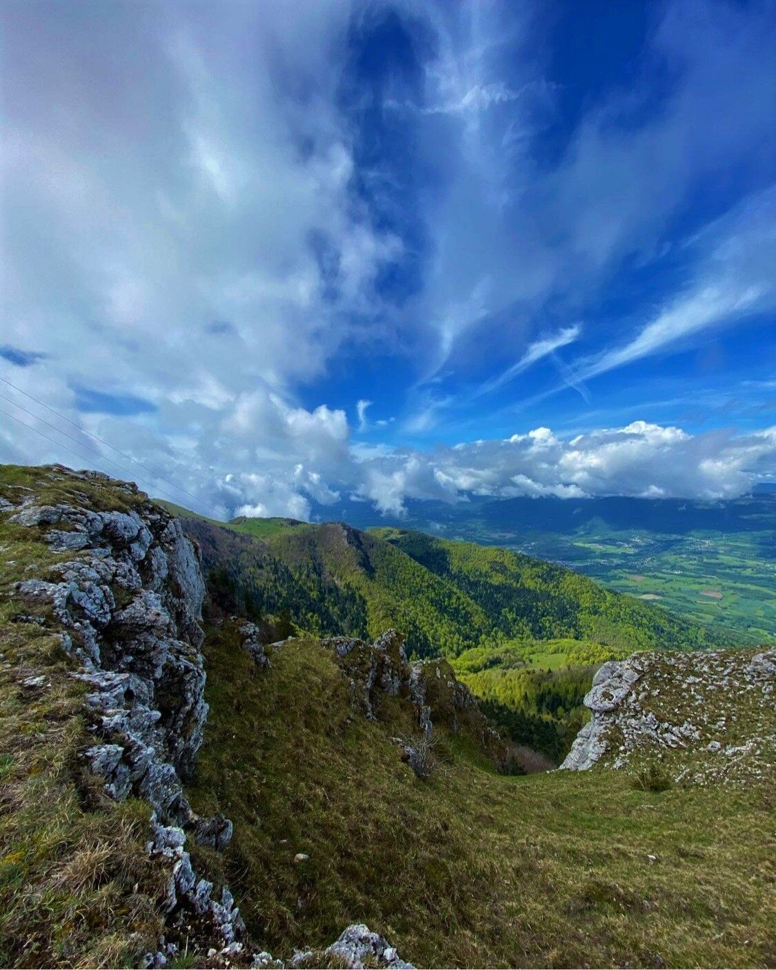
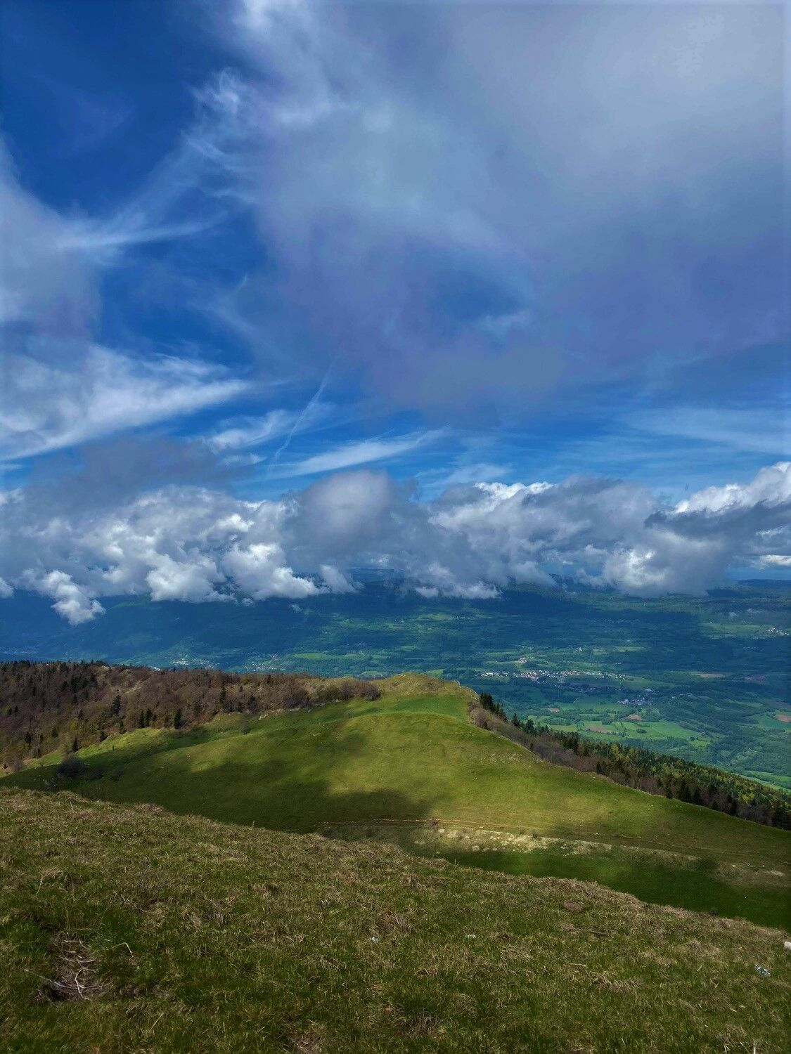
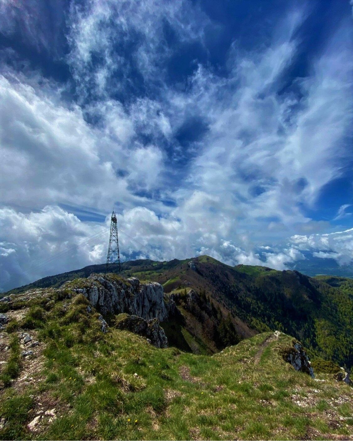
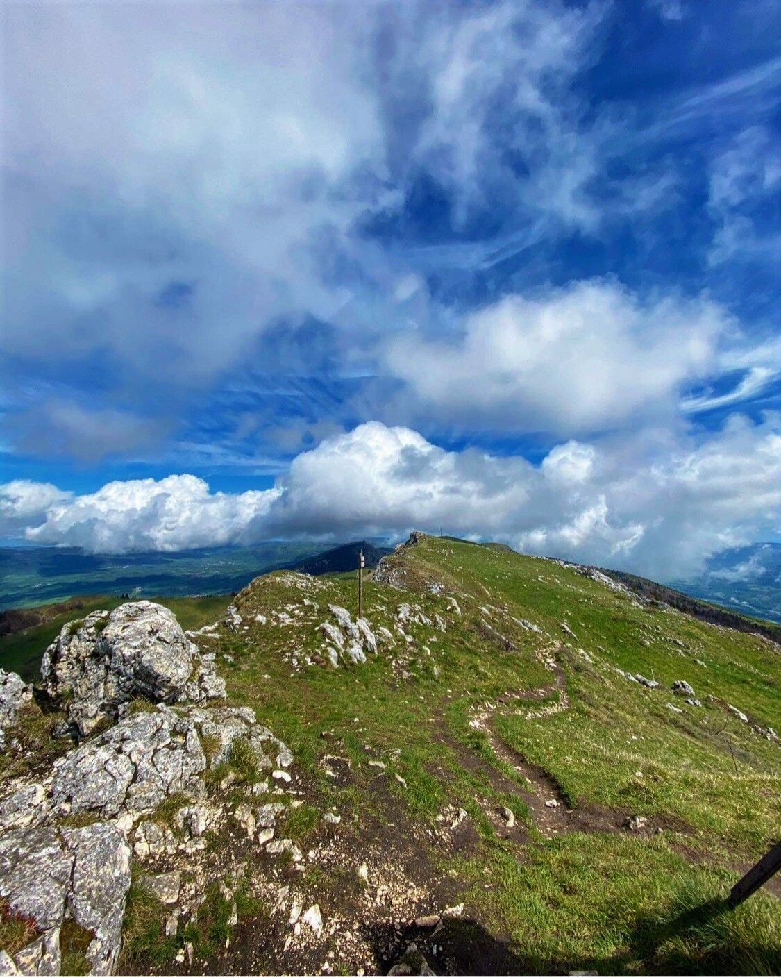
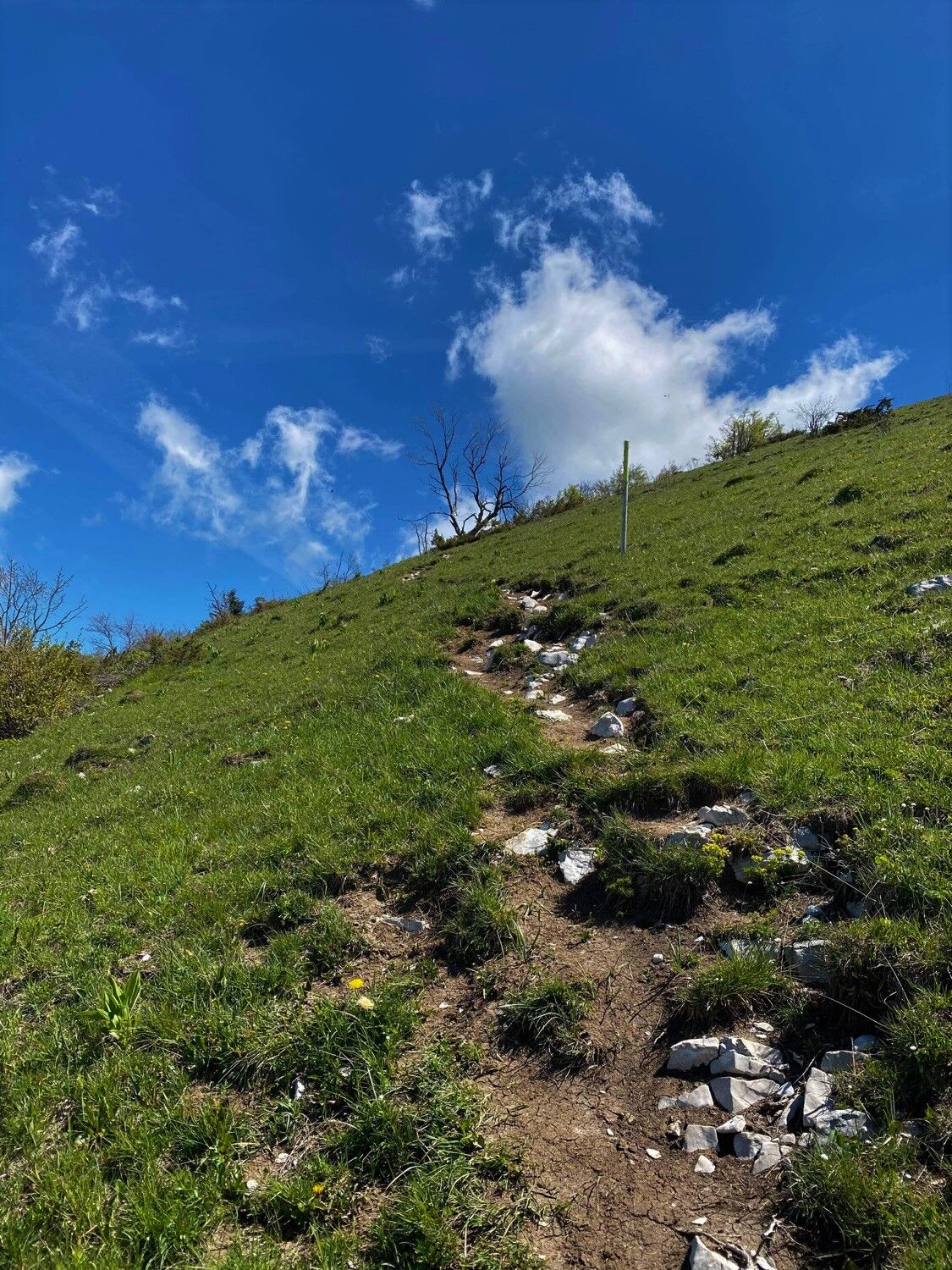
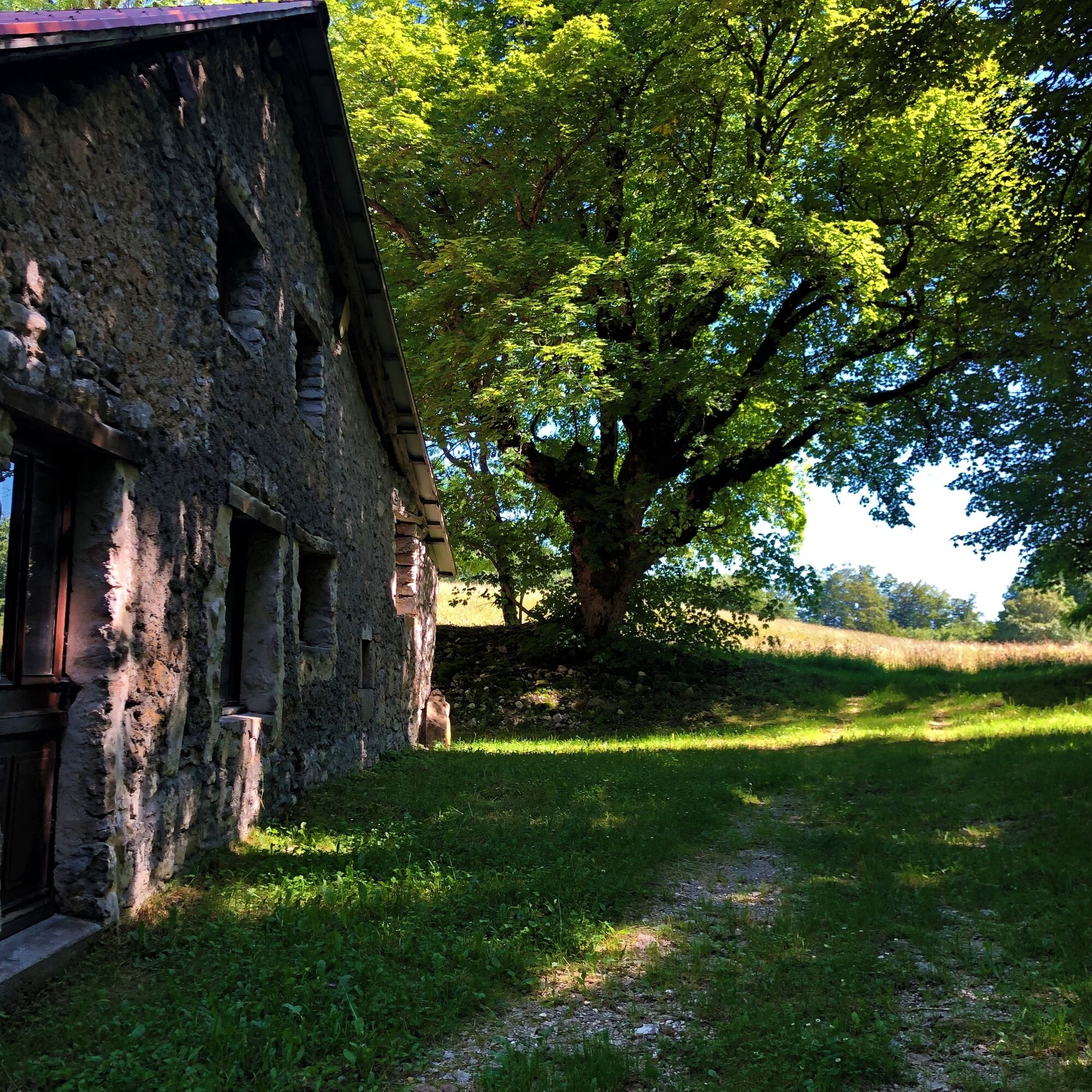
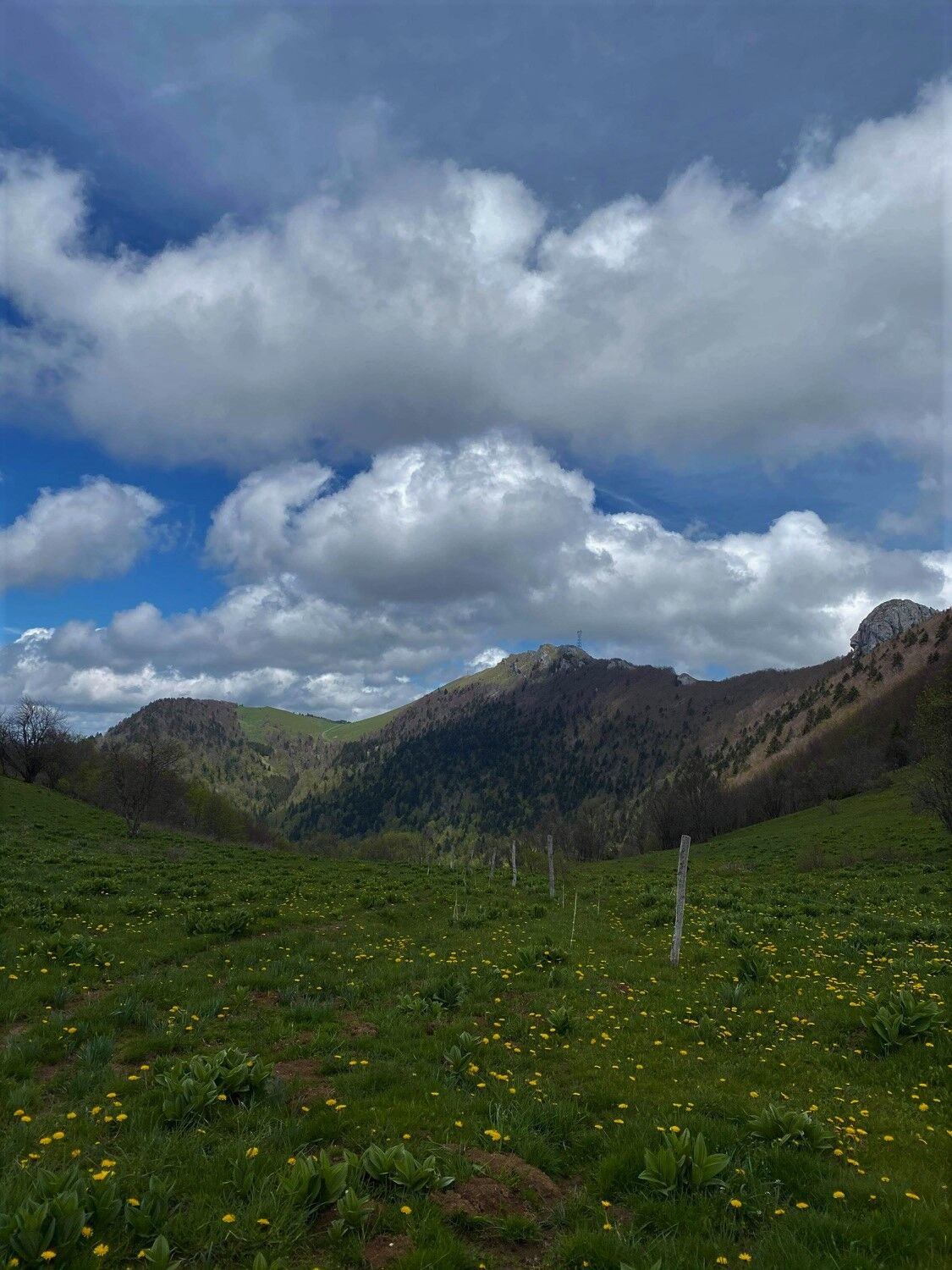
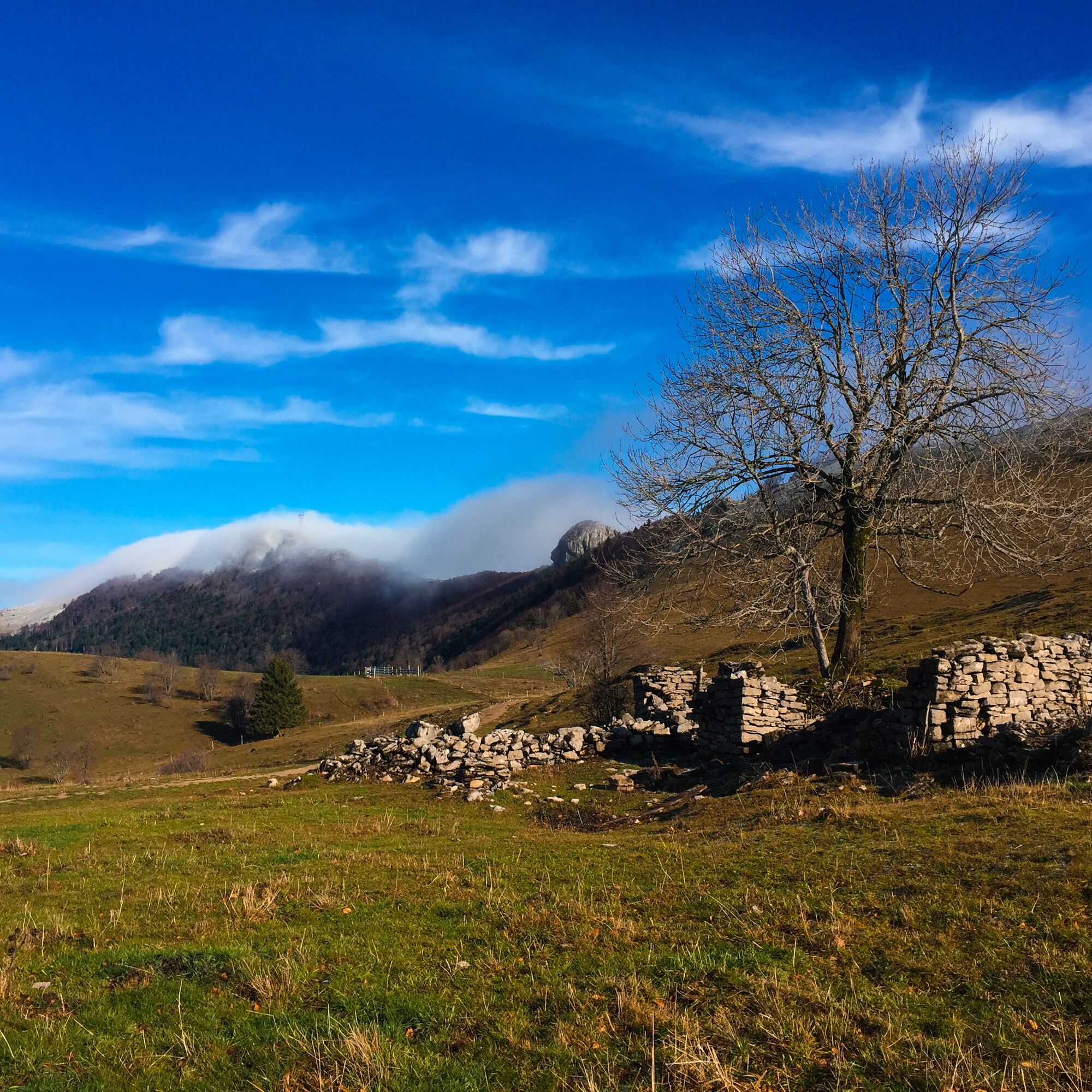
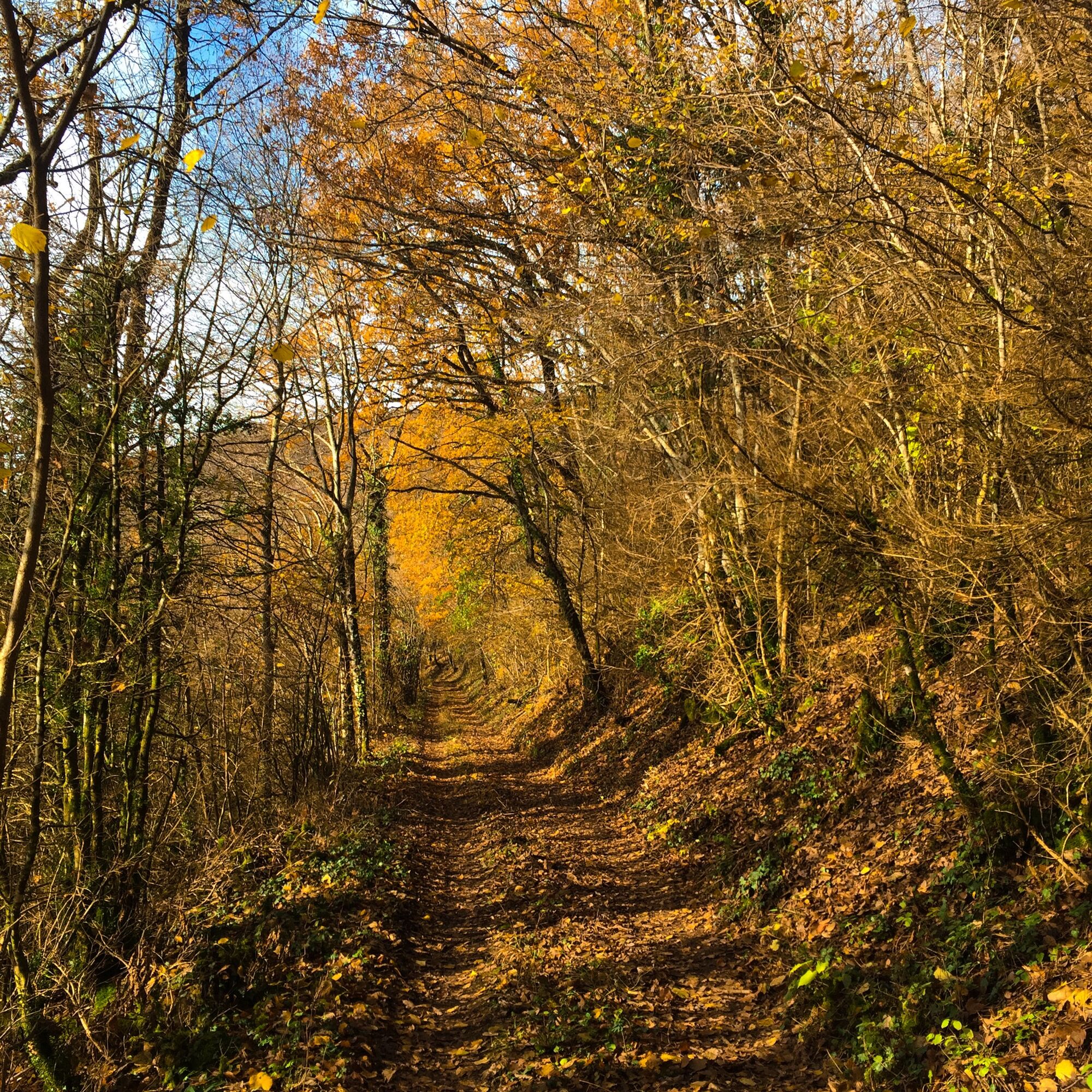
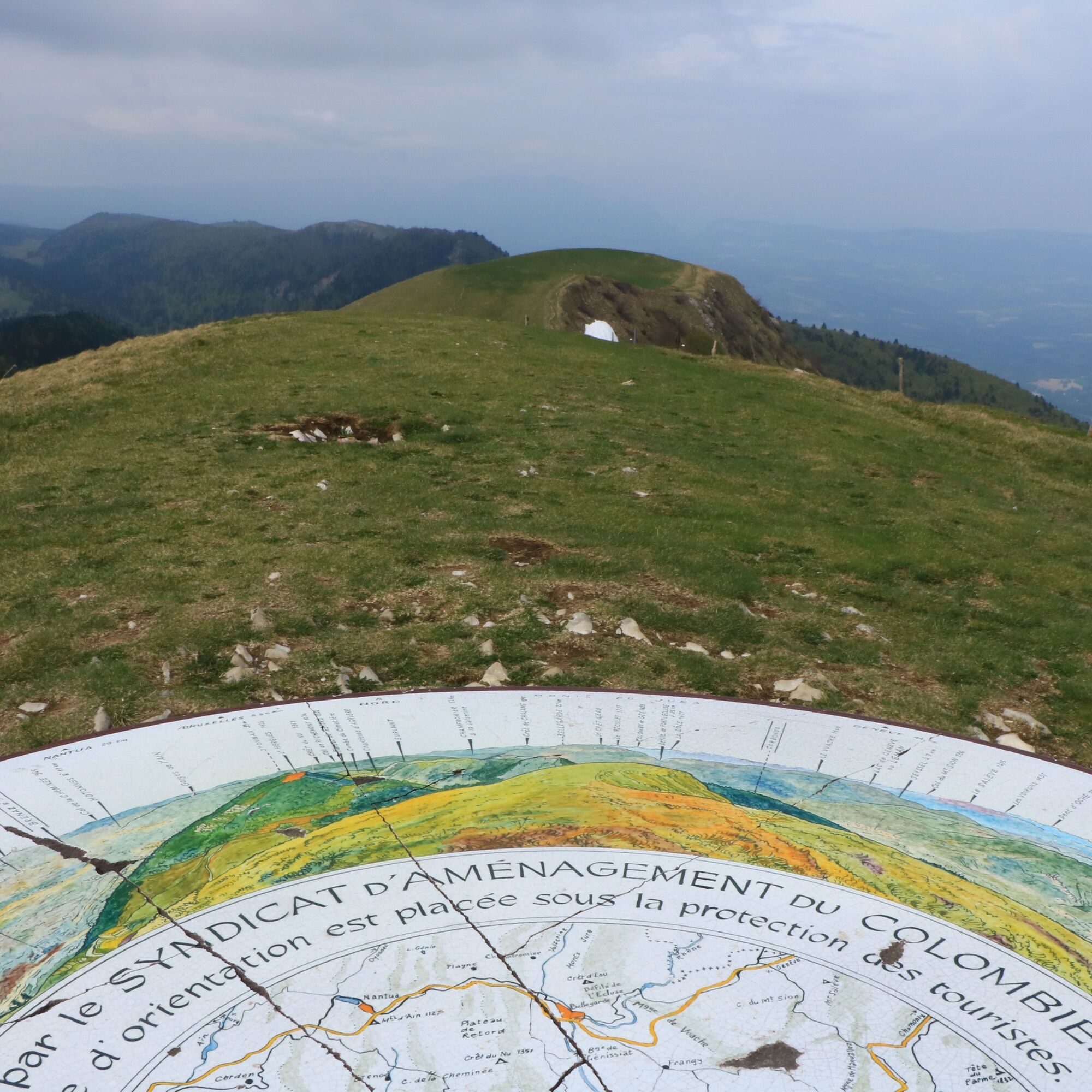
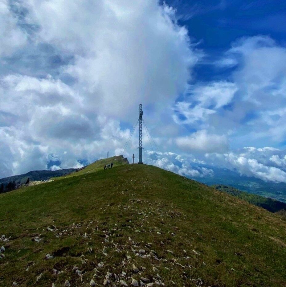
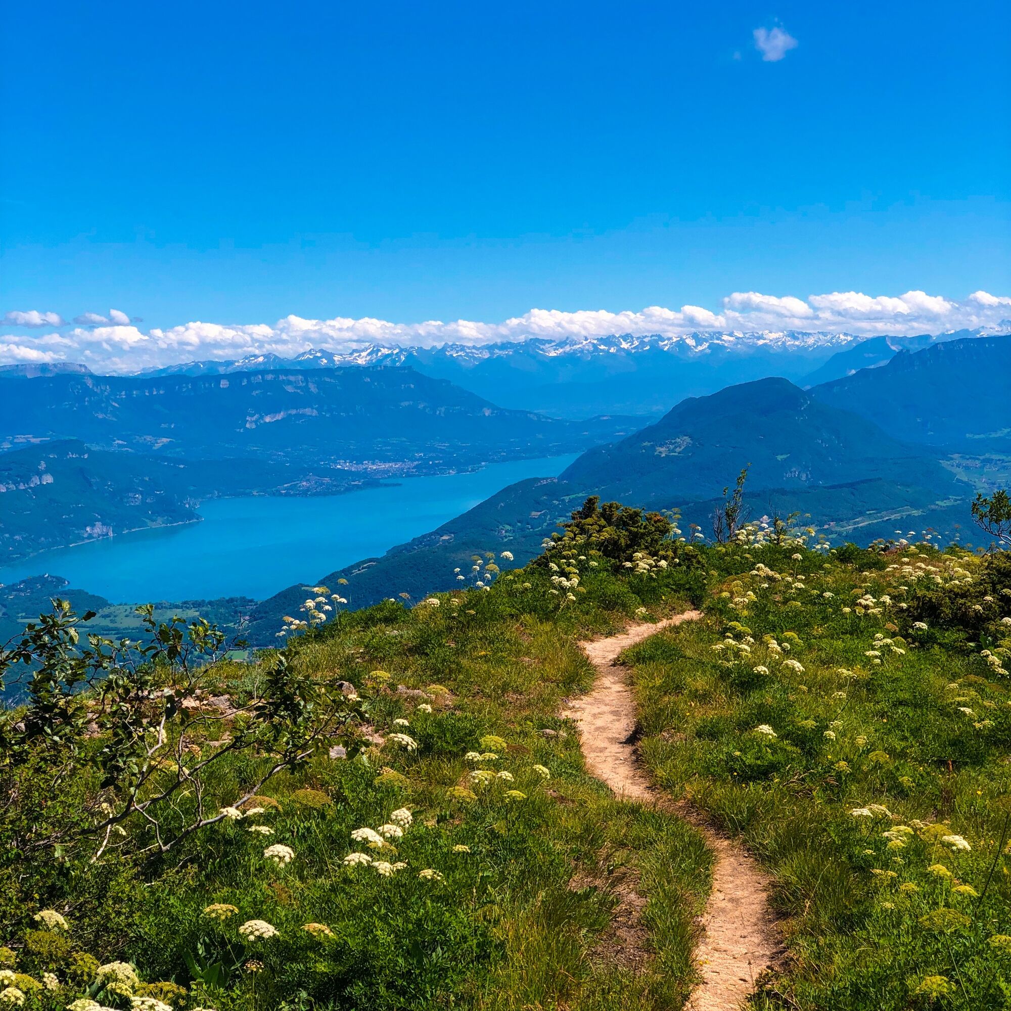
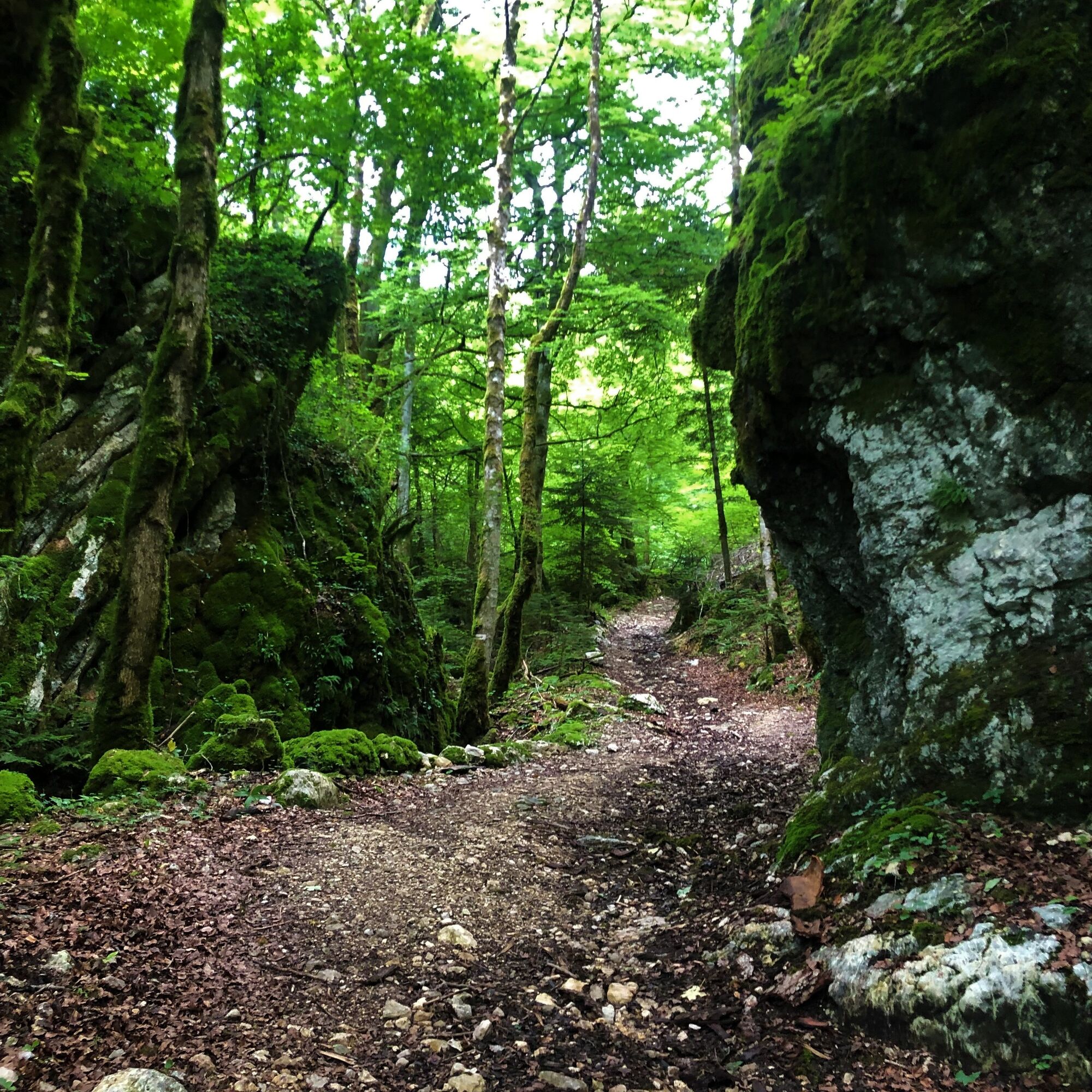
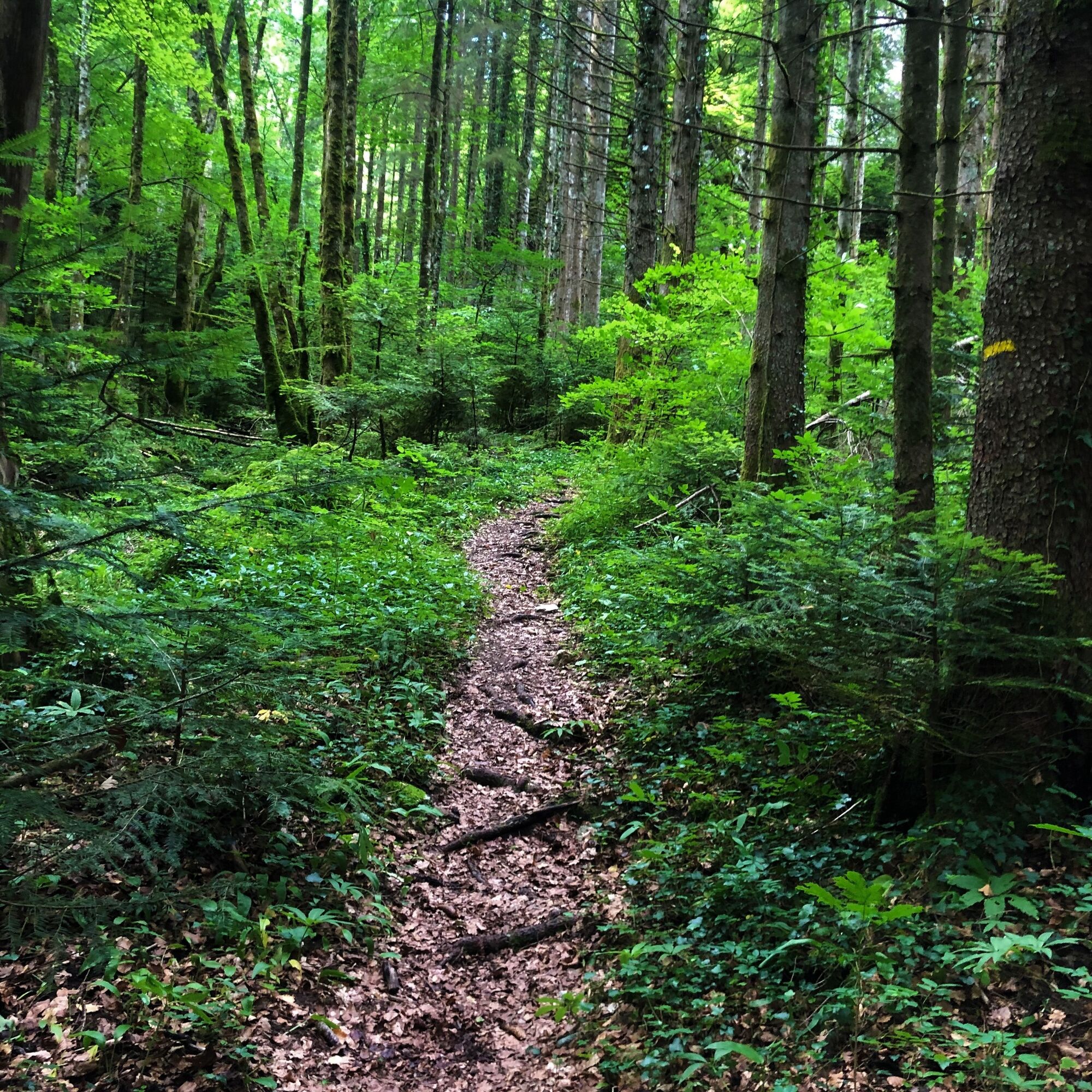
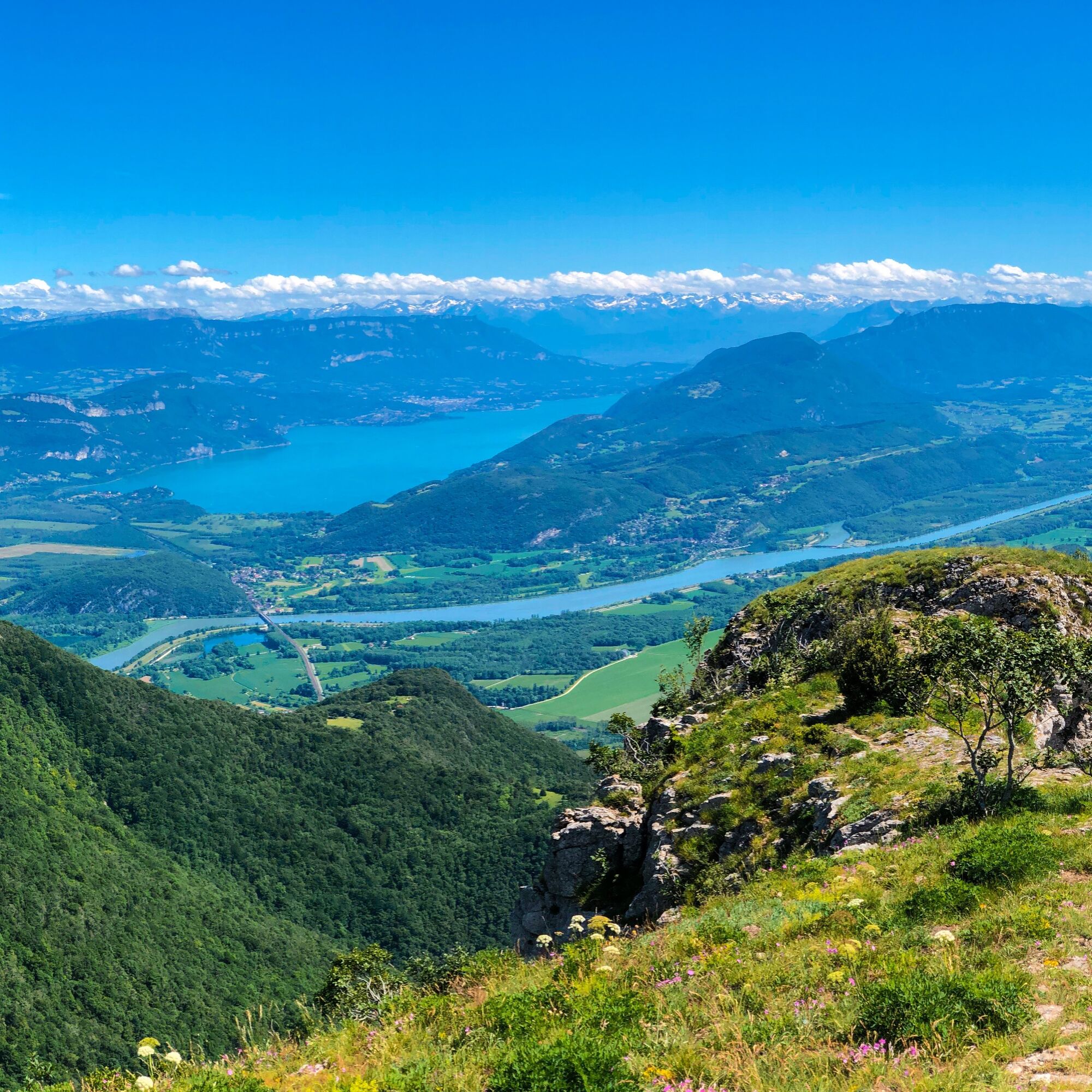
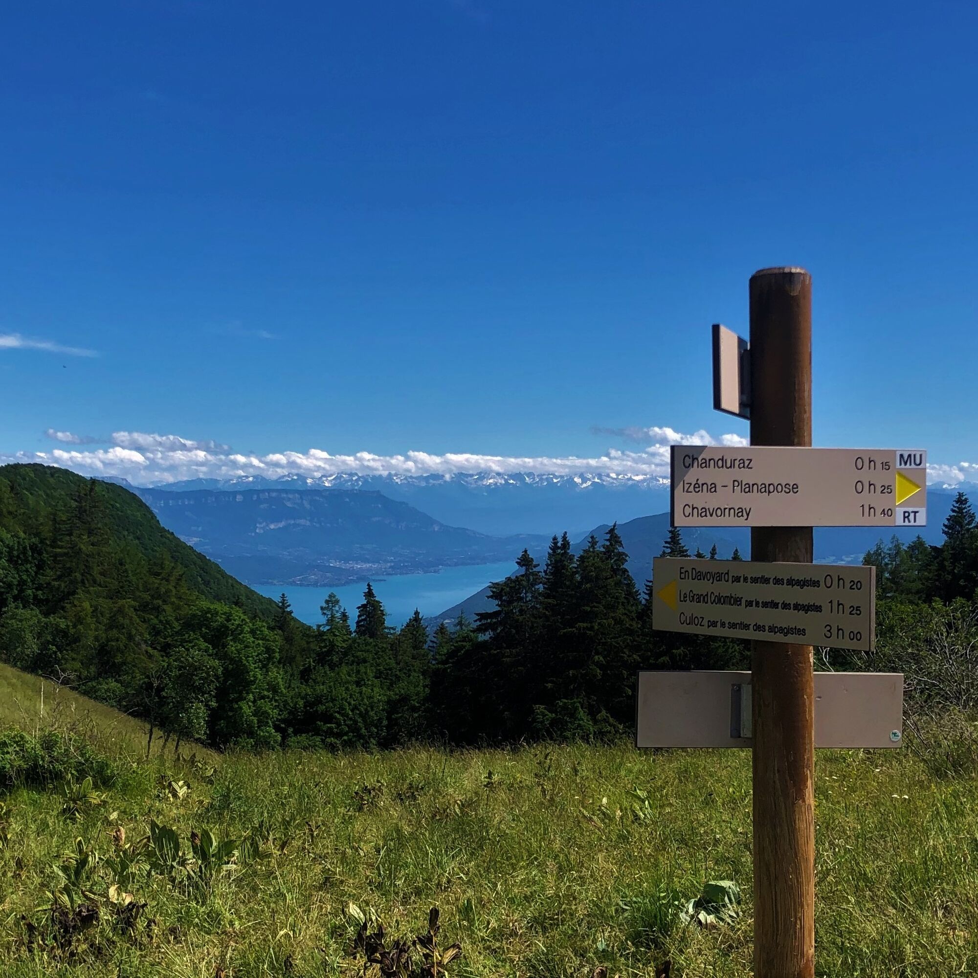
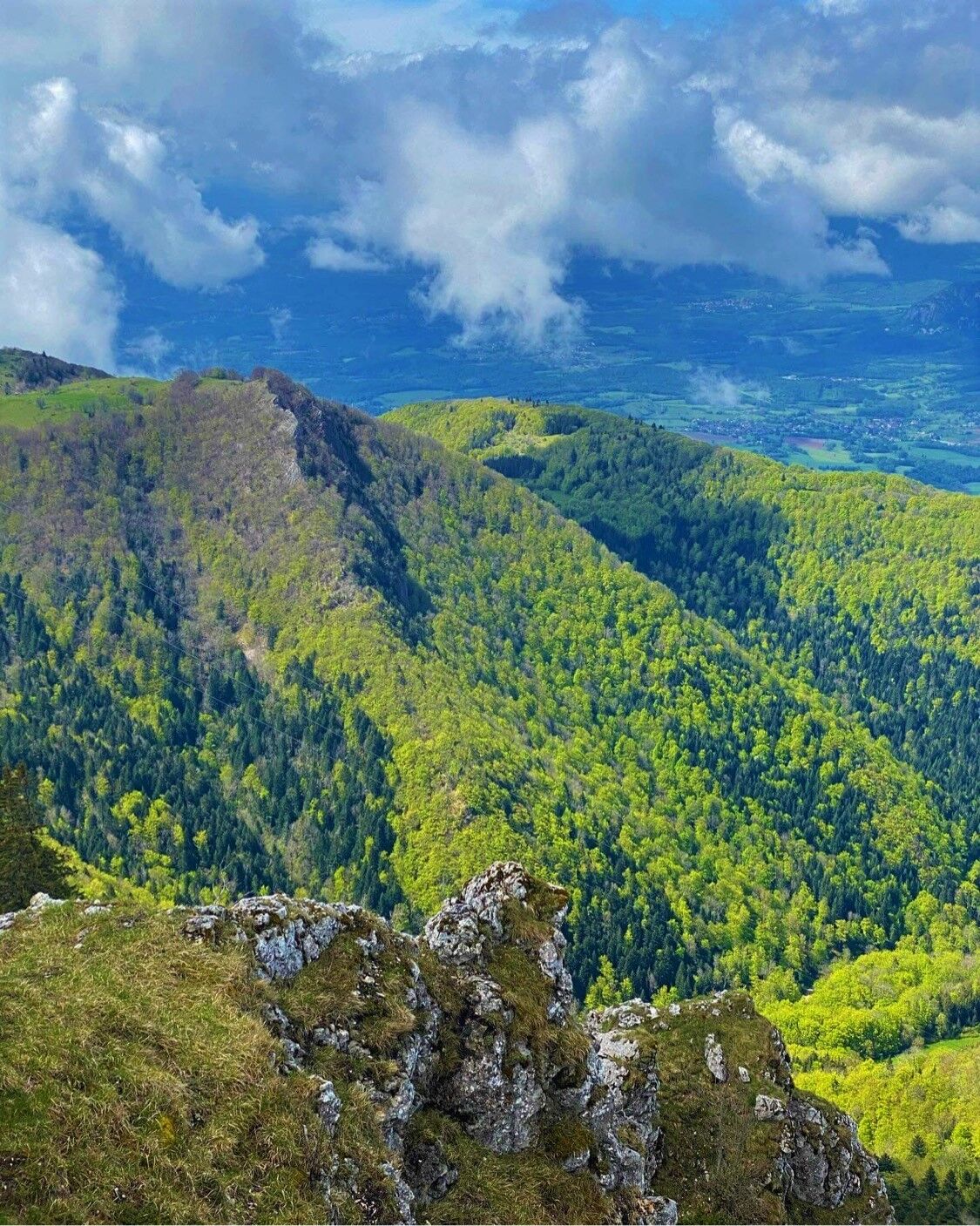
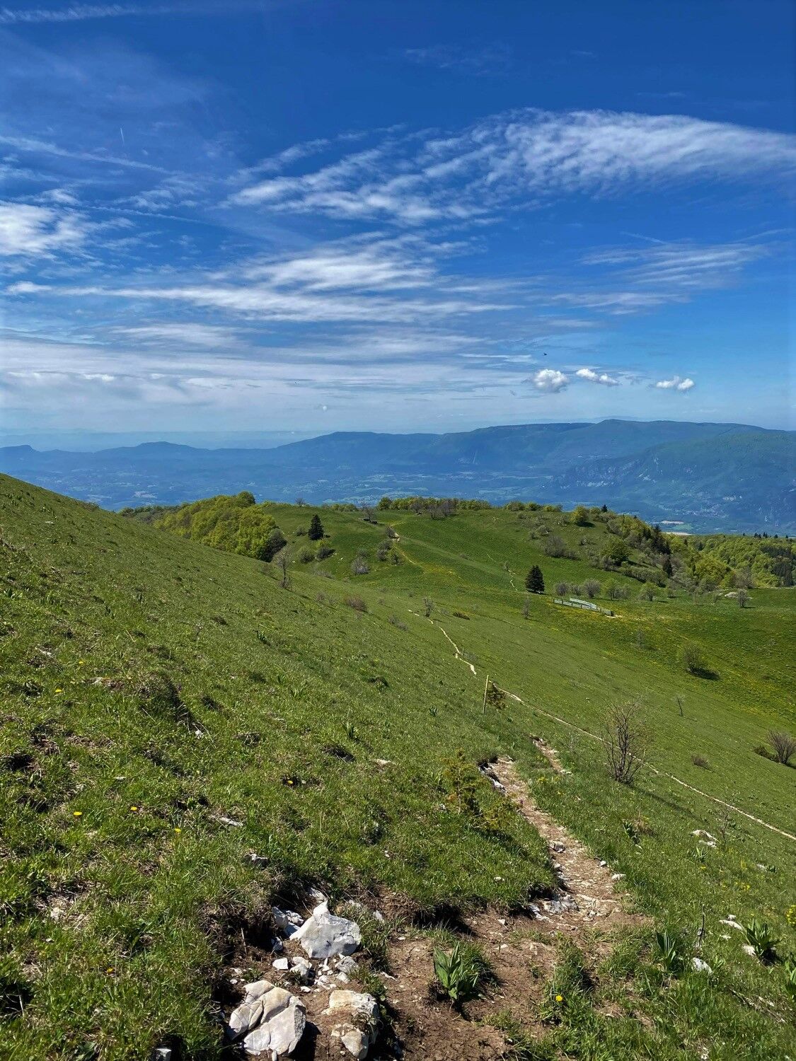
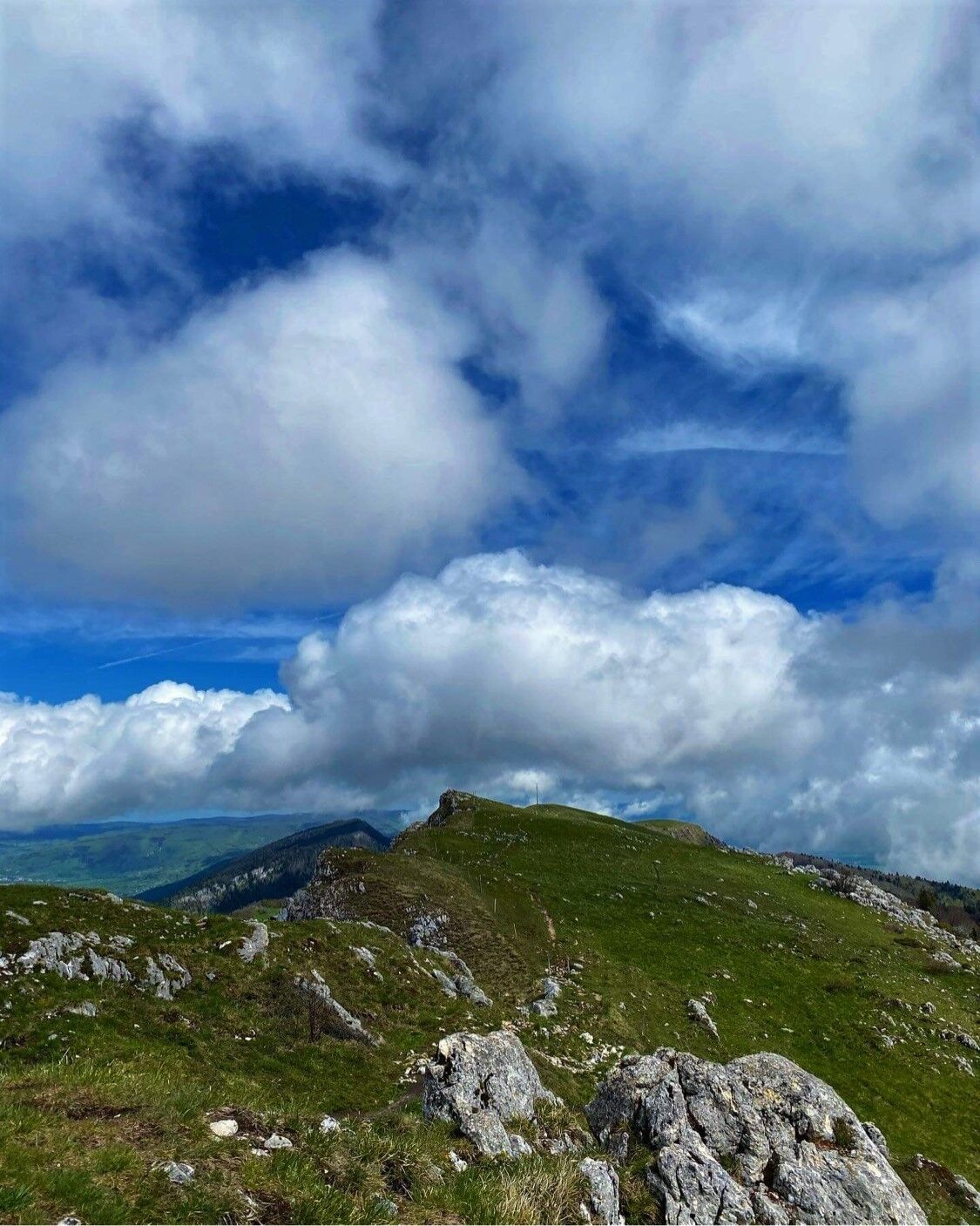
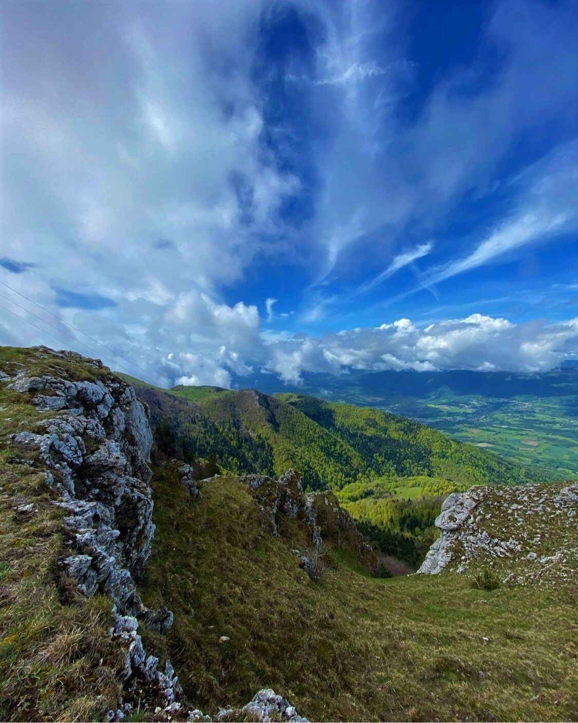
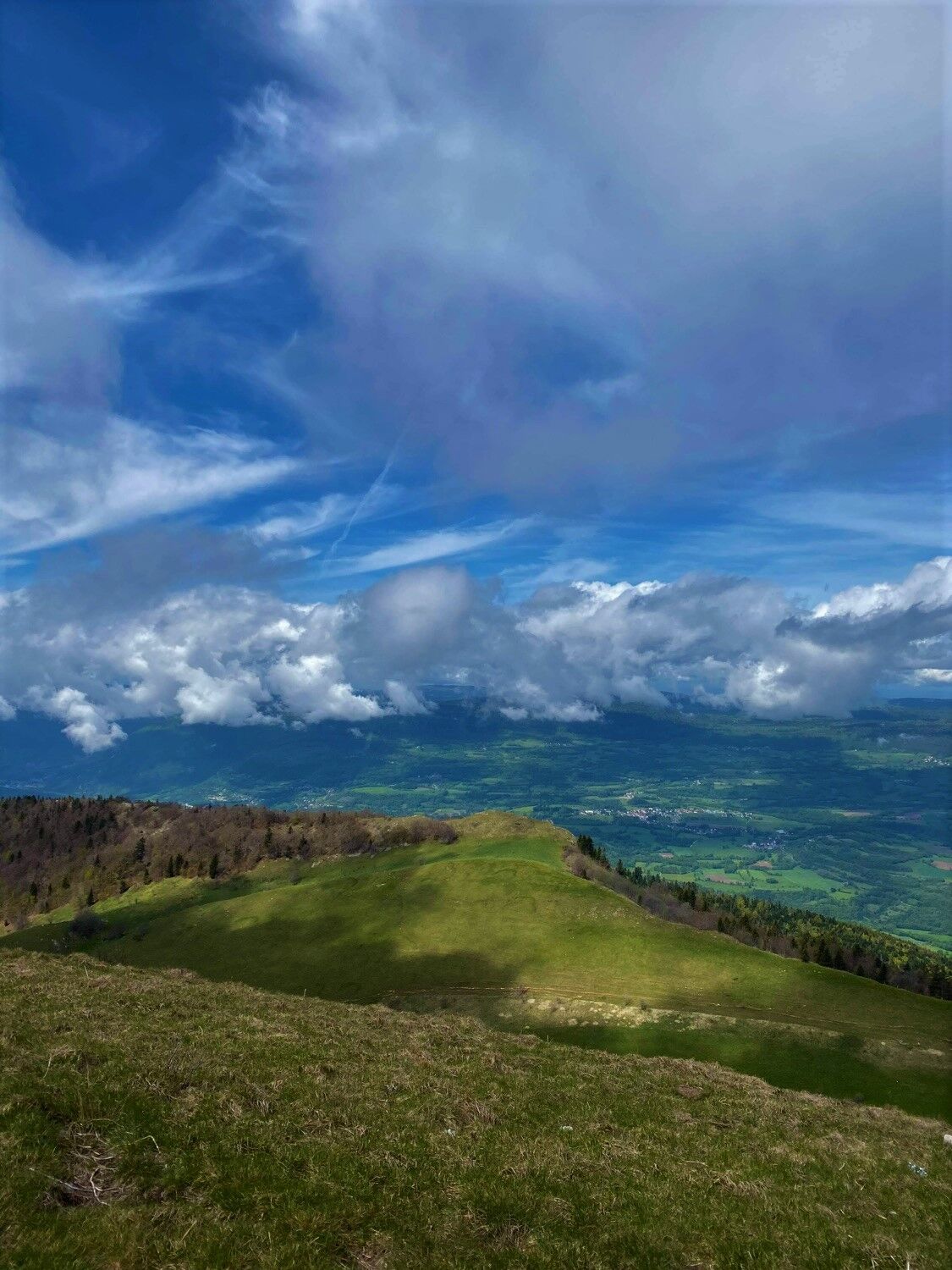
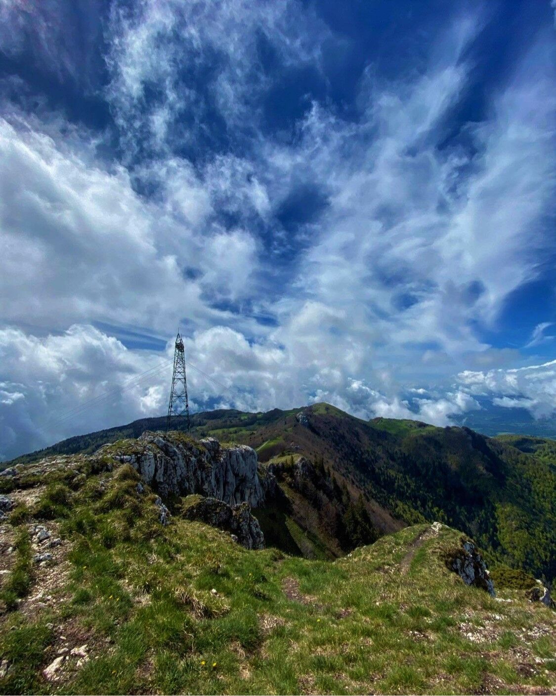
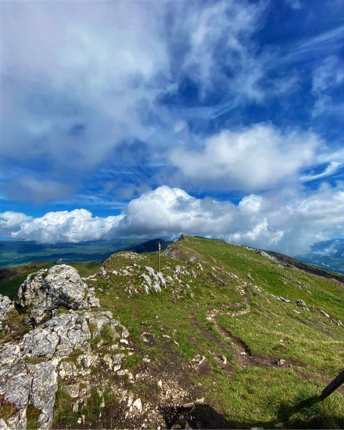
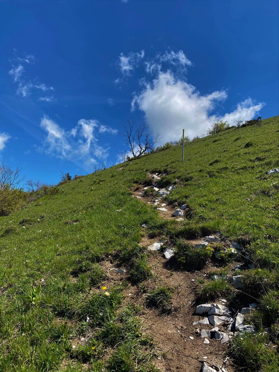
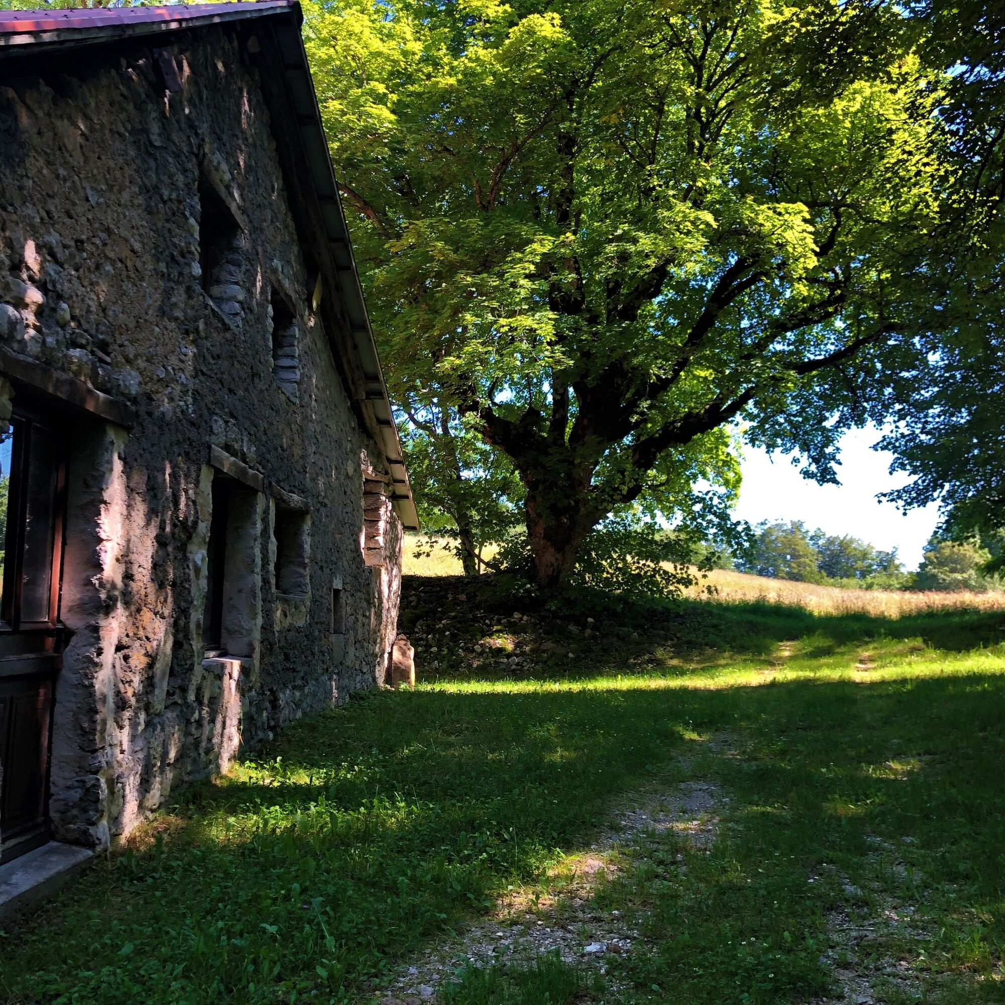
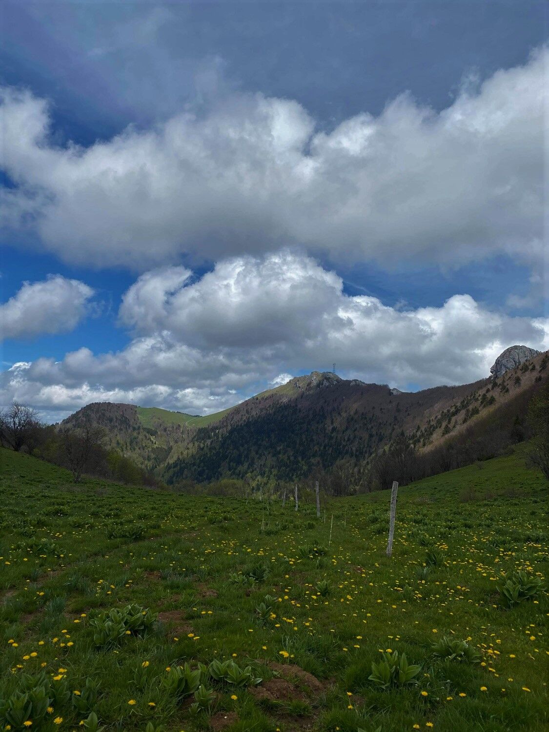
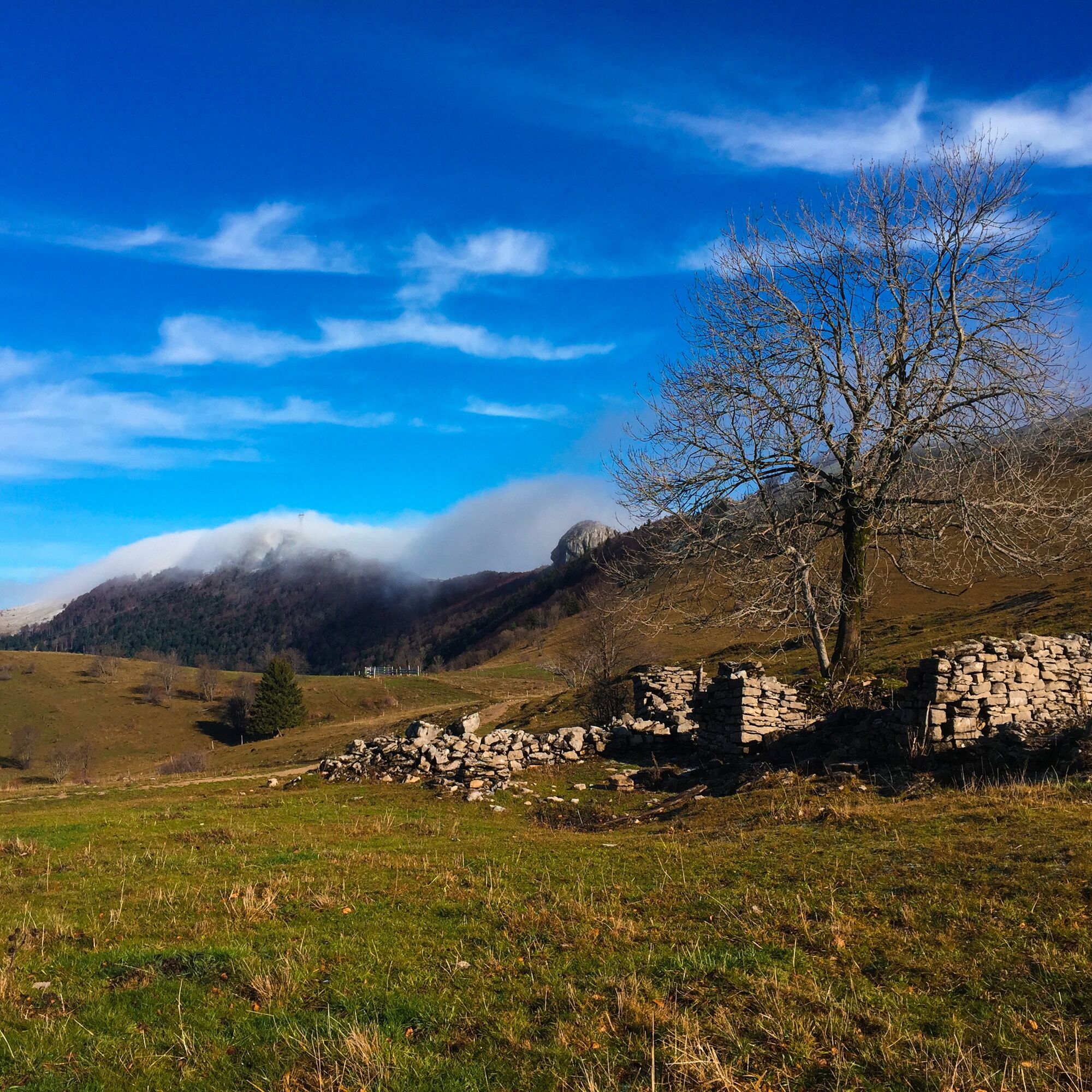
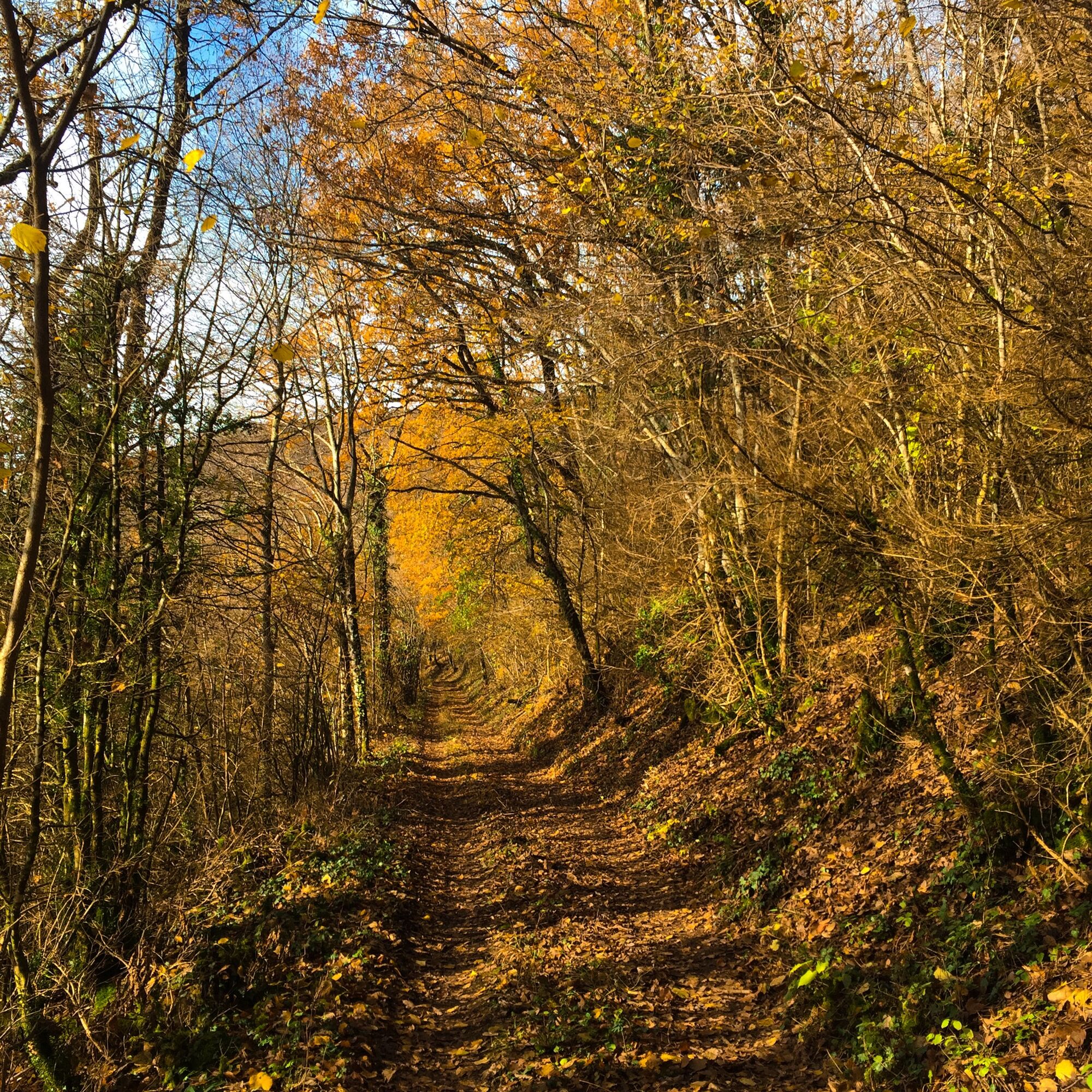
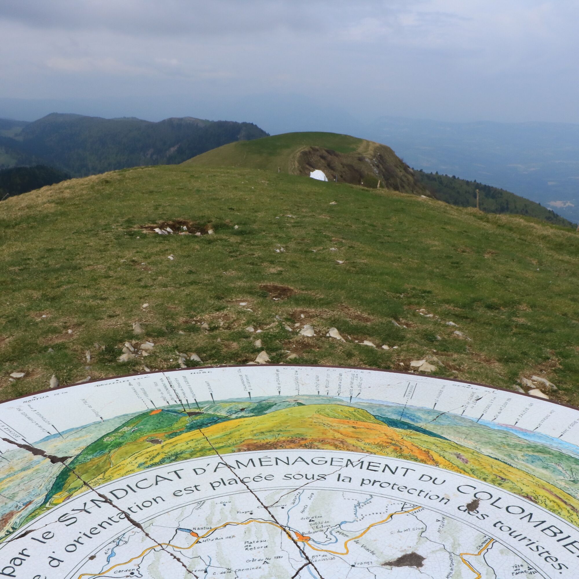

Follow the direction of the Grand Colombier to the summit, then the direction of the Roche de Chanduraz and finally that of Munet to return to the starting point.
Tak
Tak
No specific equipment required.
Warning: the end of the Roche de Chanduraz is not accessible.
The circuit crosses alpine pastures; great caution is recommended when you encounter a herd.
Please make sure to always close the enclosures behind you.
Defective signage, incidents / safety, usage conflicts, illegal dumping? : locate and share the problem encountered on the national alert system via the SURICATE app or via the site https://sentinelles.sportsdenature.fr/
Access to Munet in the municipality of Arvière-en-Valromey is via the D69 and D105.
The starting point is not accessible by public transport.
Climb the Montée du four in Munet and follow the signs indicating the start of the hiking trails. The last 600 meters of access to the parking must be traveled on a track.
T2
APIDAE Tourism data updated on 25/10/2022 by "Office de Tourisme Bugey Sud Grand Colombier".
An error on this sheet? Write to the owner referring to these references:
Sheet name: Trail route: ascent of the Grand Colombier from Munet | Sheet identifier: 5849329 | URL (link) of this Outdooractive page.
Tourism Office tips.
Access to the start is via a passable track on its last part, the path is a few hundred meters long.
A must for cheese lovers and Comté, discover Valromette, the raclette made in Valromey at the Fruitière du Valromey located in Virieu-le-Petit.
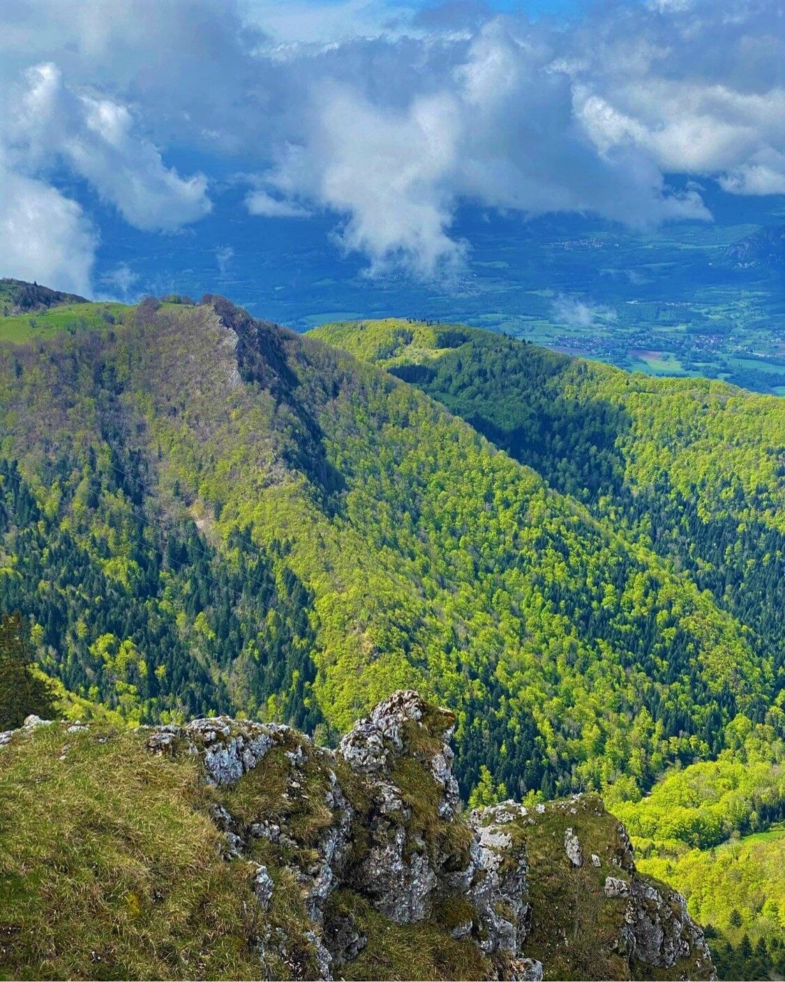
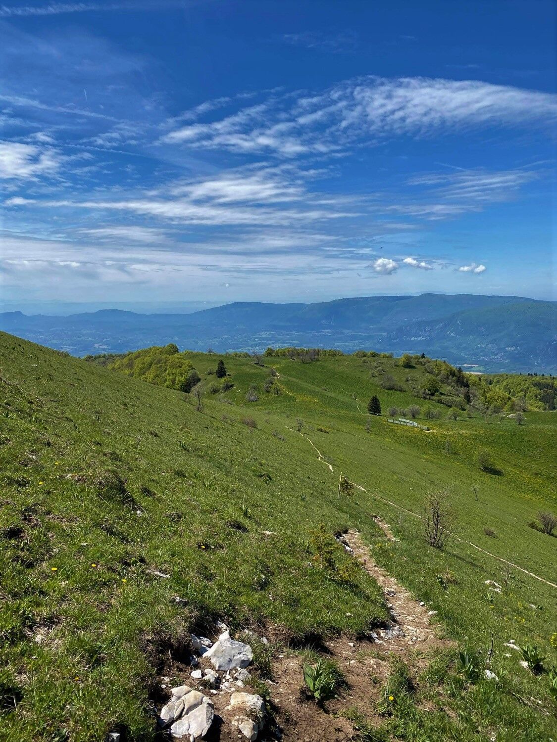
From the forests of Valromey to the alpine pastures of the Grand Colombier, this climb of almost 1000 meters of positive elevation gain includes a variety of paths with singles, forest paths, and a few rare road parts around the pass.
This route is part of the "Ain Outdoor" selection.
Popularne wycieczki w okolicy
-
4,0
Hike: Golet au loup
światłoWędrówka 7,11 km -
3,0
Hike: on the ridge of the Grand Colombier (circuit des crêtes)
średniWędrówka 11,3 km -
1,0
Hike of the Clairefontaine waterfall
światłoWędrówka 5,46 km -
Hike: Gorges de Thurignin
ciężkiWędrówka 14,2 km -
Cycling tour : Marshes and vineyards in Bugey
światłoDroga rowerowa 33,1 km -
Hike: A wolf life.
światłoWędrówka 7,22 km -
3 day-hike in Jura: hiking trails through Plateau de Retord and Grand Colombier
ciężkiWędrówka 50,9 km -
Hike of the Grand Colombier starting from Munet
ciężkiWędrówka 16,0 km -
Hike: mountain pastures of the Grand Colombier
średniWędrówka 5,23 km -
Hike: on the steps of the WW2 French resistance.
ciężkiWędrówka 17,8 km
Wędrówki i tropienie


Nie przegap ofert i inspiracji na następne wakacje
Twój adres e-mail została dodana do listy mailingowej.





