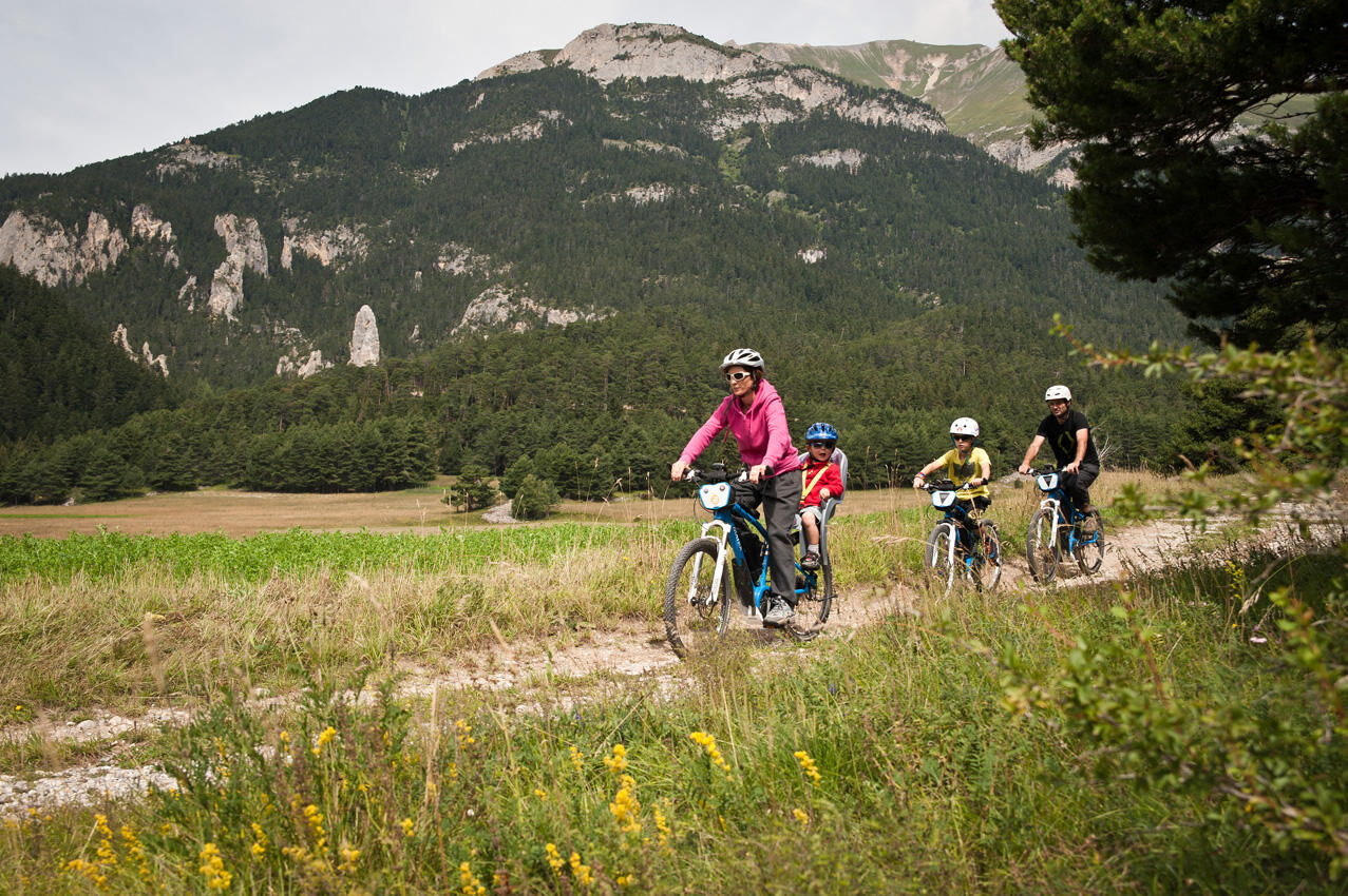
Cross-country mountain biking: Le Verney
ciężki
Nawigacja
Nawigacja
Pobierz tę trasę na swój telefon komórkowy
Cross-country mountain biking: Le Verney
ciężki
Mountainbike
17,26
km
Zeskanuj kod QR i rozpocznij nawigację w aplikacji bergfex.

Wędrówki i tropienie


Cross-country mountain biking: Le Verney
ciężki
Odległość
17,26
km
Czas trwania
02:00
h
Ascent
482
hm
Poziom morza
1 207 -
1 667
m
Ścieżka do pobrania
Cross-country mountain biking: Le Verney
ciężki
Mountainbike
17,26
km
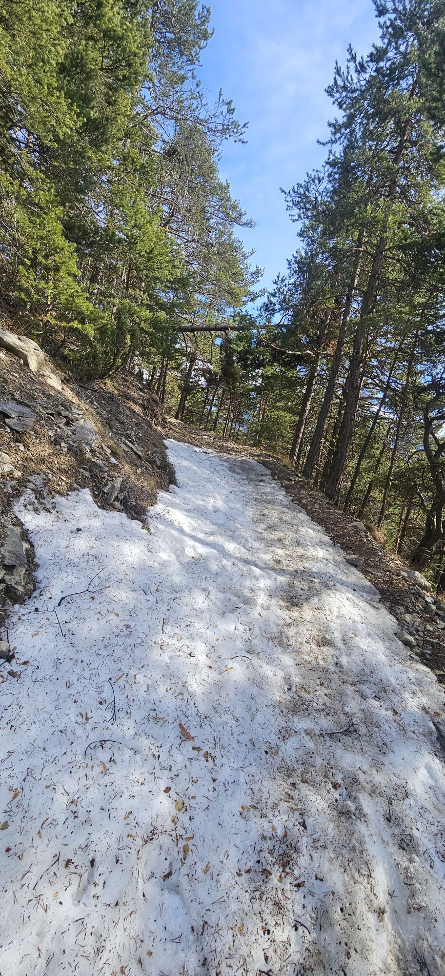
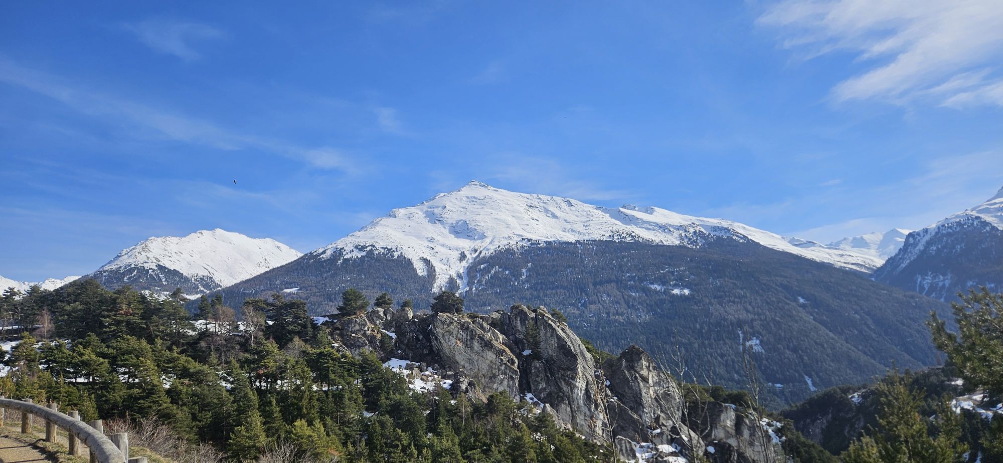
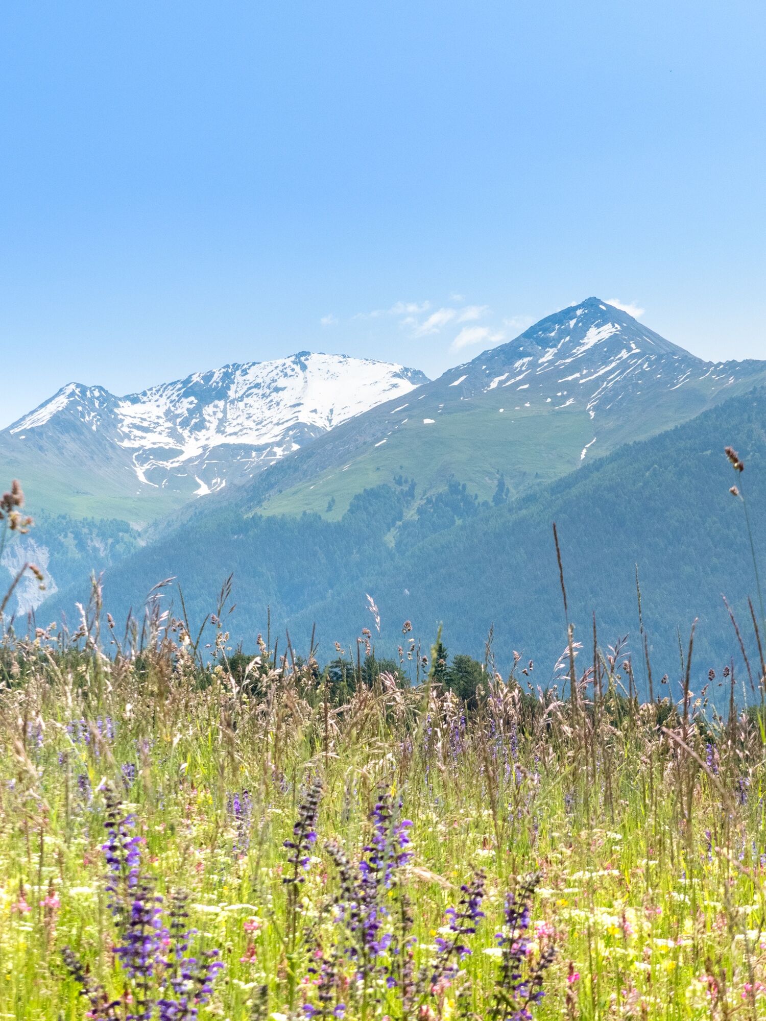
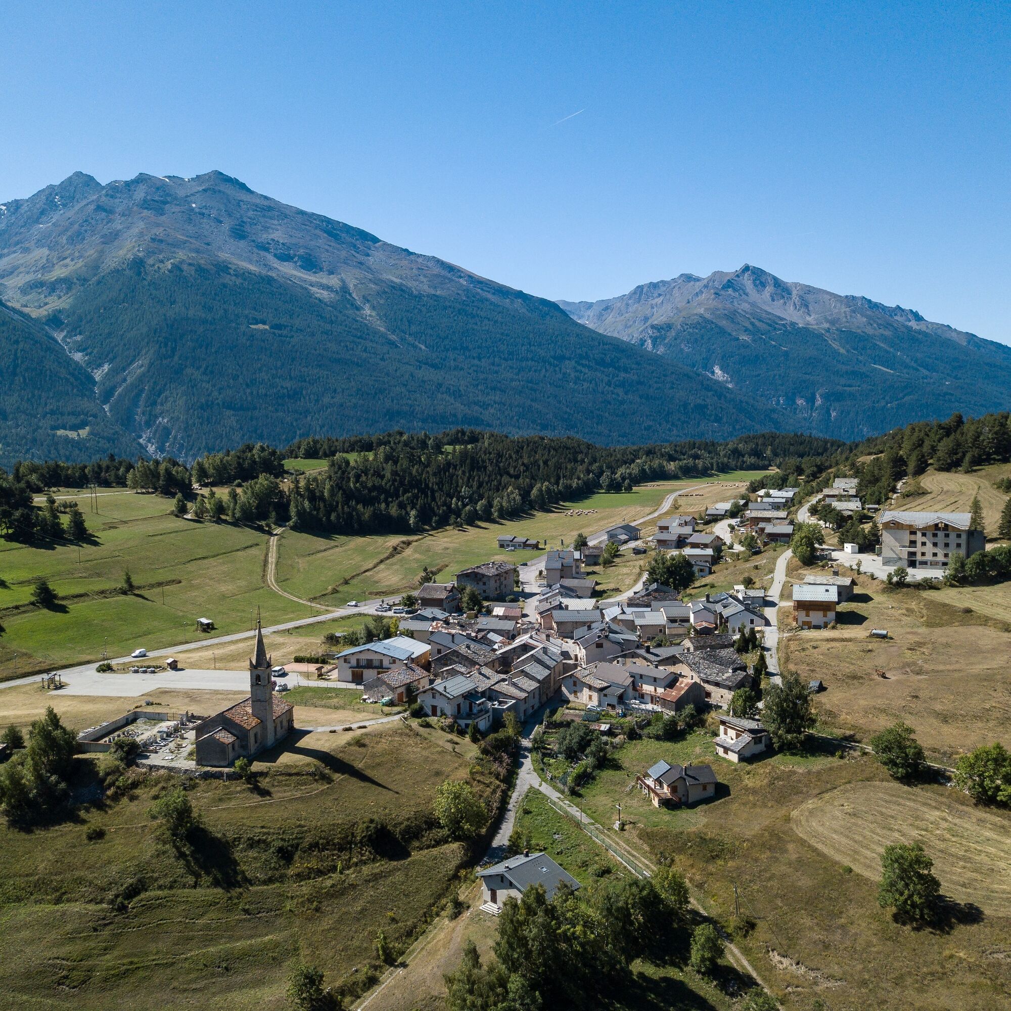
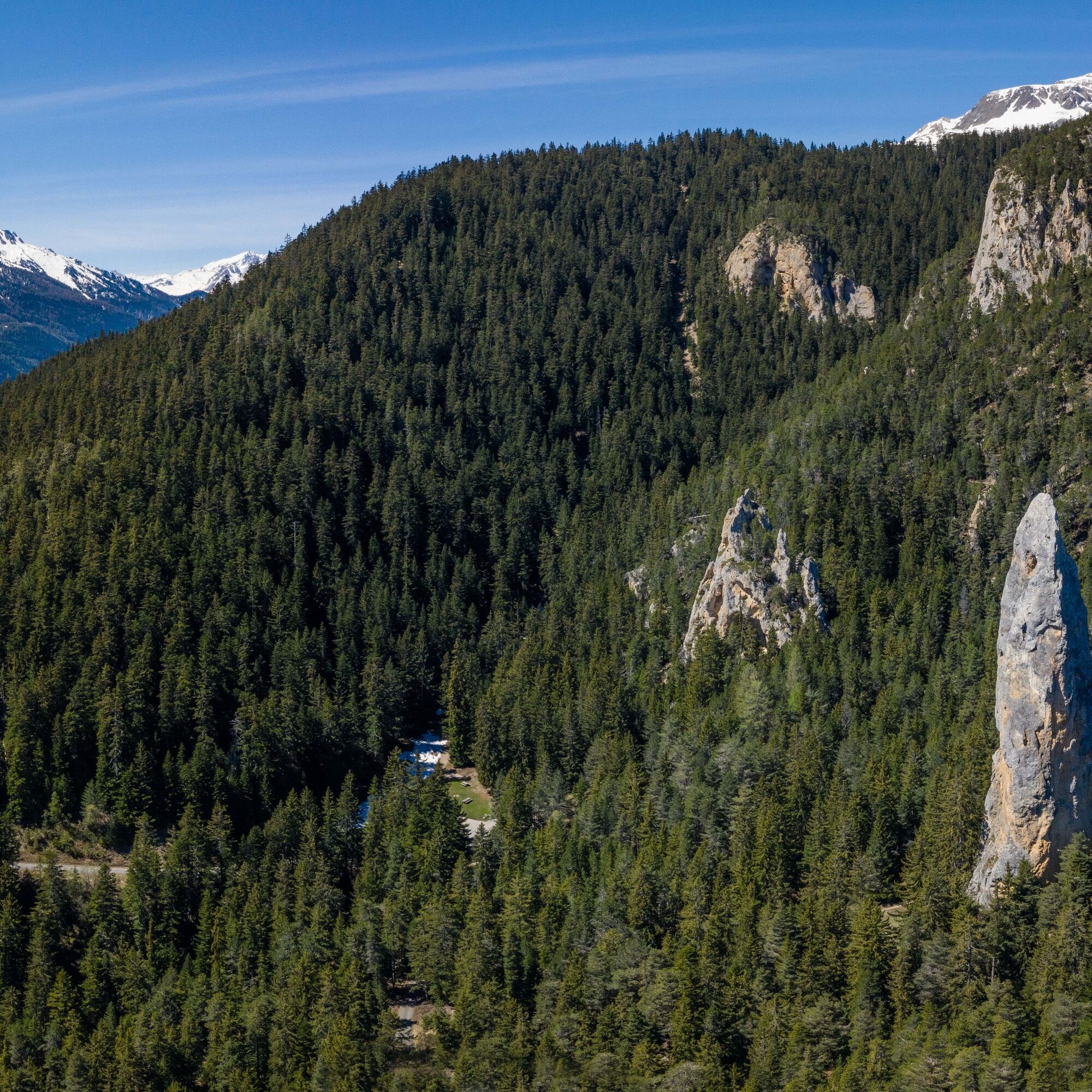
Zdjęcia naszych użytkowników
The first climb takes you up to Sardières and, beyond the village, the famous monolith. After this geological curiosity you'll reach the resort of Aussois before descending to the banks of the Arc. You'll...
Opis
The first climb takes you up to Sardières and, beyond the village, the famous monolith. After this geological curiosity you'll reach the resort of Aussois before descending to the banks of the Arc. You'll then need a bit of muscle power to climb back up to Bramans.
The Sardières monolith is a relatively straight vertical structure of cargneule rock which rises to a height of 93 metres above the ground. These dolomitic limestone rocks are hard and compact, standing up to the erosion which has cleared the site of the less resistant rocks that once surrounded the monolith.
The Sardières monolith is a relatively straight vertical structure of cargneule rock which rises to a height of 93 metres above the ground. These dolomitic limestone rocks are hard and compact, standing up to the erosion which has cleared the site of the less resistant rocks that once surrounded the monolith.
Trasa
Aussois
(1 483 m)
Wioska
1,3 km
Bramans
(1 251 m)
Wioska
5,8 km
Le Bossate
(1 250 m)
Rozliczenie
5,8 km
Église Notre-Dame de l'Assomption
(1 236 m)
Miejsce kultu
6,5 km
Le Verney
(1 222 m)
Wioska
7,1 km
Le Grand Courbet
(1 247 m)
Rozliczenie
7,5 km
Lenfrey
(1 233 m)
Rozliczenie
7,7 km
Trasa
Cross-country mountain biking: Le Verney
ciężki
Mountainbike
17,26
km
Aussois
(1 483 m)
Wioska
1,3 km
Les Grands Prés
(1 238 m)
Rozliczenie
5,2 km
Les Frênes
(1 222 m)
Korytarz/teren
5,3 km
Bramans
(1 251 m)
Wioska
5,8 km
Les Glaciers
(1 250 m)
Restauracja
5,8 km
Le Mollard
(1 260 m)
Rozliczenie
5,8 km
Le Bossate
(1 250 m)
Rozliczenie
5,8 km
Les Moulins
(1 237 m)
Rozliczenie
6,1 km
L'Église
(1 236 m)
Korytarz/teren
6,4 km
Église Notre-Dame de l'Assomption
(1 236 m)
Miejsce kultu
6,5 km
L'Ilaz
(1 220 m)
Korytarz/teren
6,9 km
Le Verney
(1 222 m)
Wioska
7,1 km
Le Grand Courbet
(1 247 m)
Rozliczenie
7,5 km
Plan de Serenaz
(1 249 m)
Rozliczenie
7,5 km
Lenfrey
(1 233 m)
Rozliczenie
7,7 km
Sardières
(1 502 m)
Rozliczenie
12,2 km
Autor
Dostarczone przez Haute Maurienne Vanoise
Wycieczkę Cross-country mountain biking: Le Verney zapewnia outdooractive.com.

Dodatkowe informacje i wskazówki
Dodatkowe informacje
As hazards may occur at any time on the routes, the GPX tracks provided are not contractual. They are provided for information only. Riders use them at their own risk, depending on their level of technological proficiency and their understanding of the terrain.
Nie ma jeszcze recenzji
Popularne wycieczki w okolicy
- 5,0
BARDONECCHIA Colle Sommeiller
średniMountainbike 25,4 km - 5,0
BARDONECCHIA Decauville
średniWędrówka 7,29 km little 'Haute-Maurienne Vanoise' circuit
ciężkiDroga rowerowa 32,0 kmBARDONECCHIA Frejusia Basins - Decauville - Rochemolles Dam
światłoMountainbike 7,54 kmBARDONECCHIA Rochemolles Dam - Scarfiotti Refuge
średniWędrówka 7,77 kmRefuge du Fond d'Aussois - a wild valley in the Vanoise - 2-day hike
światłoWędrówka 9,22 kmThe White Lake
światłoWędrówka 4,42 km- 5,0
The Builder's Trail on foot
światłoTrasa tematyczna 7,23 km BARDONECCHIA Decauville Loop - Scarfiotti Refuge
światłoMountainbike 34,0 kmCol du Mont Cenis from Lanslebourg
ciężkiDroga rowerowa 9,84 km

Wędrówki i tropienie

Ponad 550.000 propozycji wycieczek, szczegółowe mapy i intuicyjny planer tras sprawiają, że aplikacja jest niezbędna dla wszystkich entuzjastów przyrody.

Nie przegap ofert i inspiracji na następne wakacje
Zapisz się do newslettera
Błąd
Wystąpił błąd. Spróbuj ponownie.Dziękujemy za rejestrację
Twój adres e-mail została dodana do listy mailingowej.
Wycieczki po całej Europie
Austria Szwajcaria Niemcy Włochy Słowenię Francja Holandia Belgia Polska Liechtenstein Czechy Słowacja Hiszpania Chorwacja Bośnia i Hercegowina Luksemburg Andorra Portugalia Islandia Wielka Brytania Irlandia Grecja Albania Macedonia Północna Malta Norwegia Czarnogóra Mołdawia Kosowo Węgry San Marino Rumunia Estonia Łotwa Białoruś Cypr Litwa Serbia Bułgaria Monako Dania Szwecja Finlandia