Circuit VTT n°102 noir : La Milotte
ciężki
Nawigacja
Nawigacja
Pobierz tę trasę na swój telefon komórkowy
Circuit VTT n°102 noir : La Milotte
ciężki
Mountainbike
22,55
km
Zeskanuj kod QR i rozpocznij nawigację w aplikacji bergfex.

Wędrówki i tropienie


Circuit VTT n°102 noir : La Milotte
ciężki
Odległość
22,55
km
Czas trwania
02:54
h
Ascent
668
hm
Poziom morza
567 -
811
m
Ścieżka do pobrania
Circuit VTT n°102 noir : La Milotte
ciężki
Mountainbike
22,55
km
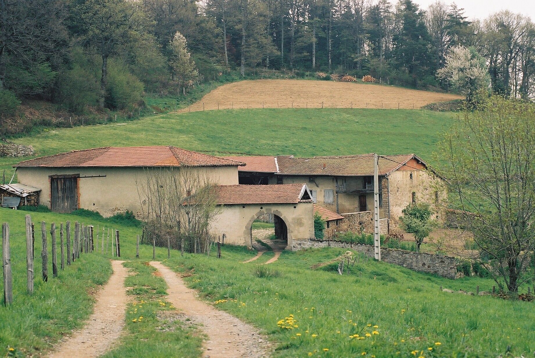
However, be sure to keep your eyes open so you don't miss some must-see sights like the Madone, which was built in 1860 on the site of a former windmill.
We will reveal to you what Milotte is: it is a jam...
Opis
However, be sure to keep your eyes open so you don't miss some must-see sights like the Madone, which was built in 1860 on the site of a former windmill.
We will reveal to you what Milotte is: it is a jam that gave its name to the inhabitants of the village, the Milottiers. Several stories circulate about the origin of the word Milotte, but in Villechenève, no one can agree!
We will reveal to you what Milotte is: it is a jam that gave its name to the inhabitants of the village, the Milottiers. Several stories circulate about the origin of the word Milotte, but in Villechenève, no one can agree!
Trasa
Église de l'Assomption
(713 m)
Miejsce kultu
0,1 km
La Rivière
(771 m)
Rozliczenie
2,3 km
Chapelle Saint-Antoine
(642 m)
Miejsce kultu
8,1 km
Le Rocher
(720 m)
Rozliczenie
11,6 km
Les Côtes
(685 m)
Rozliczenie
13,2 km
Chez Gonnet
(614 m)
Rozliczenie
16,7 km
Le Dubessy
(690 m)
Sąsiedztwo
21,9 km
Trasa
Circuit VTT n°102 noir : La Milotte
ciężki
Mountainbike
22,55
km
Église de l'Assomption
(713 m)
Miejsce kultu
0,1 km
Villechenève
(716 m)
Wioska
0,2 km
La Brioude
(728 m)
Rozliczenie
1,7 km
La Rivière
(771 m)
Rozliczenie
2,3 km
Le Pourron
(717 m)
Rozliczenie
4,1 km
Le Melay
(650 m)
Rozliczenie
4,5 km
Le Souzy
(646 m)
Rozliczenie
7,9 km
Chapelle Saint-Antoine
(642 m)
Miejsce kultu
8,1 km
La Flachère
(701 m)
Rozliczenie
11,0 km
Le Rocher
(720 m)
Rozliczenie
11,6 km
Longessaigne
(690 m)
Wioska
11,9 km
Le Tardy
(659 m)
Rozliczenie
12,4 km
Les Côtes
(685 m)
Rozliczenie
13,2 km
Le Drivon
(686 m)
Rozliczenie
14,8 km
La Chaise
(672 m)
Rozliczenie
15,1 km
Chez Gonnet
(614 m)
Rozliczenie
16,7 km
Le Fétel
(571 m)
Rozliczenie
19,5 km
Le Dubessy
(690 m)
Sąsiedztwo
21,9 km
Villechenève
(716 m)
Wioska
22,5 km
Autor
Dostarczone przez Monts du Lyonnais
Wycieczkę Circuit VTT n°102 noir : La Milotte zapewnia outdooractive.com.

Dodatkowe informacje i wskazówki
Dodatkowe informacje
Adapt your equipment and the choice of route according to your level and the weather. Do not leave the trails.
Nie ma jeszcze recenzji
Popularne wycieczki w okolicy
-
Regina, Duroni, Sweetheart - Monts du Lyonnais - Bessenay
światłoWędrówka 13,6 km -
Circuit de découverte du patrimoine
światłoWędrówka 2,19 km -
Courz'y Trail Park - Circuit No. 1: La Découverte
światłoTrailrunning 7,27 km -
Mała wycieczka po crêt d'Arjoux - Monts du Lyonnais - Saint-Julien-sur-Bibost
światłoWędrówka 4,93 km -
Circuit VTT n°113 rouge : En lisière des communes
ciężkiMountainbike 16,8 km -
Le Tour du Pays de L'Arbresle
ciężkiDroga rowerowa 109,8 km -
Courz'y Trail Park - Circuit n°3 : L'Entrainement
ciężkiTrailrunning 15,3 km -
The Roman aqueduct in Brévenne discovery trail
średniTrasa tematyczna 2,47 km -
Monts du Lyonnais - The Chamousset country loop - 2.3
światłoDroga rowerowa 34,9 km -
Monts du Lyonnais - Between granite and golden stones - Loop 2.1
ciężkiDroga rowerowa 63,4 km

Wędrówki i tropienie

Ponad 550.000 propozycji wycieczek, szczegółowe mapy i intuicyjny planer tras sprawiają, że aplikacja jest niezbędna dla wszystkich entuzjastów przyrody.

Nie przegap ofert i inspiracji na następne wakacje
Zapisz się do newslettera
Błąd
Wystąpił błąd. Spróbuj ponownie.
Dziękujemy za rejestrację
Twój adres e-mail została dodana do listy mailingowej.
Wycieczki po całej Europie
Austria
Szwajcaria
Niemcy
Włochy
Słowenię
Francja
Holandia
Belgia
Polska
Liechtenstein
Czechy
Słowacja
Hiszpania
Chorwacja
Bośnia i Hercegowina
Luksemburg
Andorra
Portugalia
Islandia
Wielka Brytania
Irlandia
Grecja
Albania
Macedonia Północna
Malta
Norwegia
Czarnogóra
Mołdawia
Kosowo
Węgry
San Marino
Rumunia
Estonia
Łotwa
Białoruś
Cypr
Litwa
Serbia
Bułgaria
Monako
Dania
Szwecja
Finlandia