


Multiday mountain bike loop around Grand Colombier: day 3 Les Plans d'Hotonnes - Culoz
Poziom trudności: S1
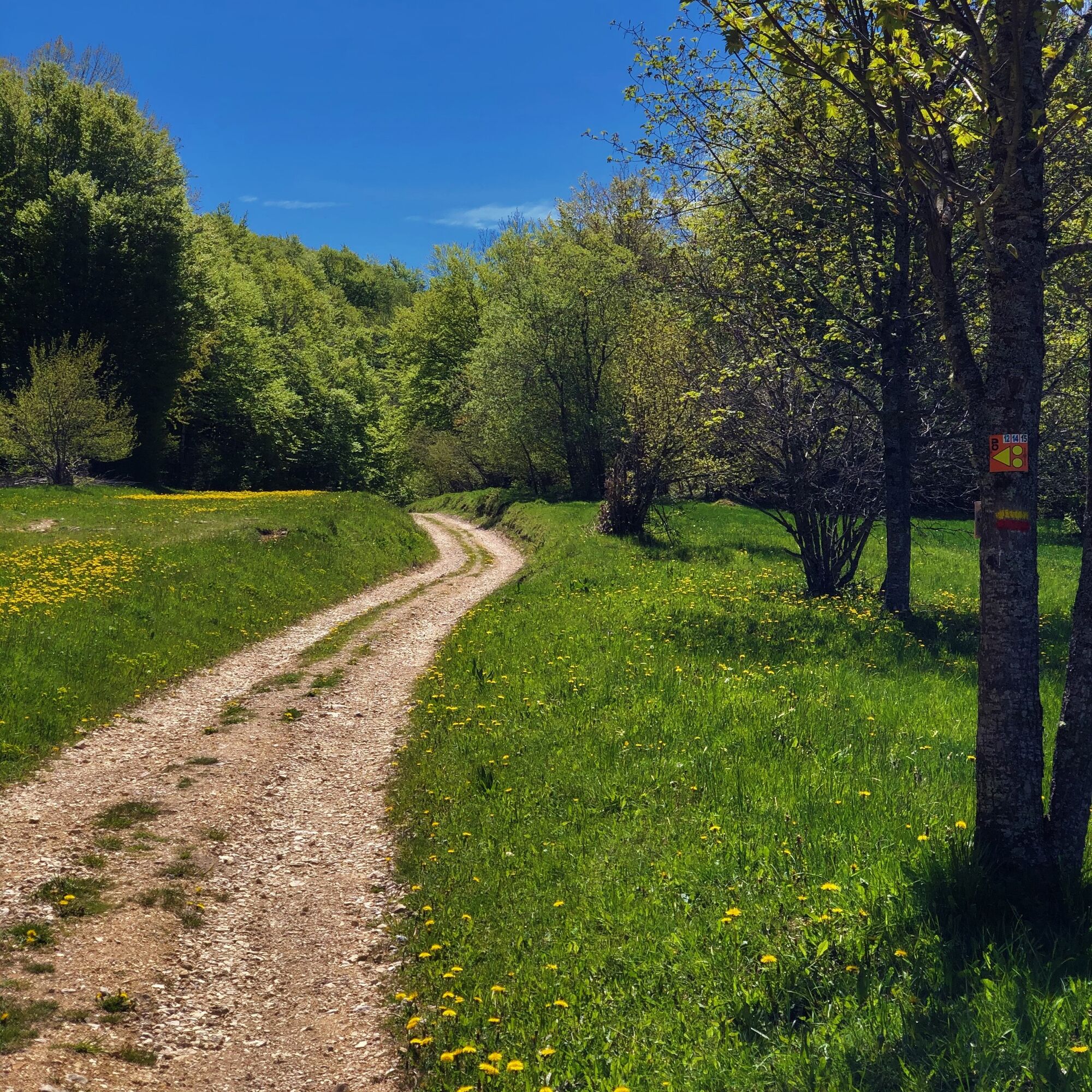
With a length of almost 35 km, this last stage concludes the loop in the most beautiful way by offering numerous panoramas of the Alps, Mont Blanc, Lake Bourget and the Rhône river.
You will leave the Plateau...
You will leave the Plateau de Retord to return to the paths of the Grand Colombier before finishing on a descent of almost 1300m of negative altitude difference to Culoz.
Day 1 : Culoz > La Praille (32 km)
Day 2 : La Praille > Les Plans d'Hotonnes (27 km)
Day 3 : Les Plans d'Hotonnes > Culoz (35km)

Signposting in progress spring 2024
Tak
Tak
It is highly recommended to have a water bottle, a helmet, a mobile phone, and a repair kit.
This route does not include any difficult sections.
Faulty signposting, incidents / safety, usage conflicts, illegal dumping? : locate and share the problem encountered on the national alert system via the SURICATE app or through the website https://sentinelles.sportsdenature.fr/
From Lyon, take the A42 then the A40 towards Geneva until the Saint Martin du Fresne exit where the Plans d'Hotonnes resort is indicated.
From Mâcon, take the A40 towards Geneva until the Saint Martin du Fresne exit where the Plans d'Hotonnes resort is indicated.
The Plans d'Hotonnes resort is not accessible by public transport.
Parking is available in the main car park of the Plans d'Hotonnes resort opposite the Maison des Plans.
S1
This route is part of the "Ain Outdoor" selection.
Kamery internetowe z trasy
Popularne wycieczki w okolicy
-
4,0
Hike: Golet au loup
światłoWędrówka 7,11 km -
3,0
Hike: on the ridge of the Grand Colombier (circuit des crêtes)
średniWędrówka 11,3 km -
1,0
Hike of the Clairefontaine waterfall
światłoWędrówka 5,46 km -
Hike: Gorges de Thurignin
ciężkiWędrówka 14,2 km -
Cycling tour : Marshes and vineyards in Bugey
światłoDroga rowerowa 33,1 km -
Hike: A wolf life.
światłoWędrówka 7,22 km -
3 day-hike in Jura: hiking trails through Plateau de Retord and Grand Colombier
ciężkiWędrówka 50,9 km -
Hike of the Grand Colombier starting from Munet
ciężkiWędrówka 16,0 km -
Hike : Lake and vineyards
światłoWędrówka 9,76 km -
Hike: Tour de Retord
ciężkiWędrówka 18,6 km

Wędrówki i tropienie


Nie przegap ofert i inspiracji na następne wakacje
Twój adres e-mail została dodana do listy mailingowej.