



Hiking paradise Rottenschwil – Bremgarten

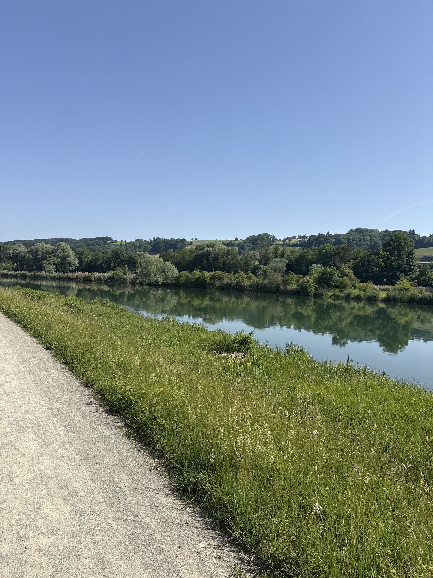
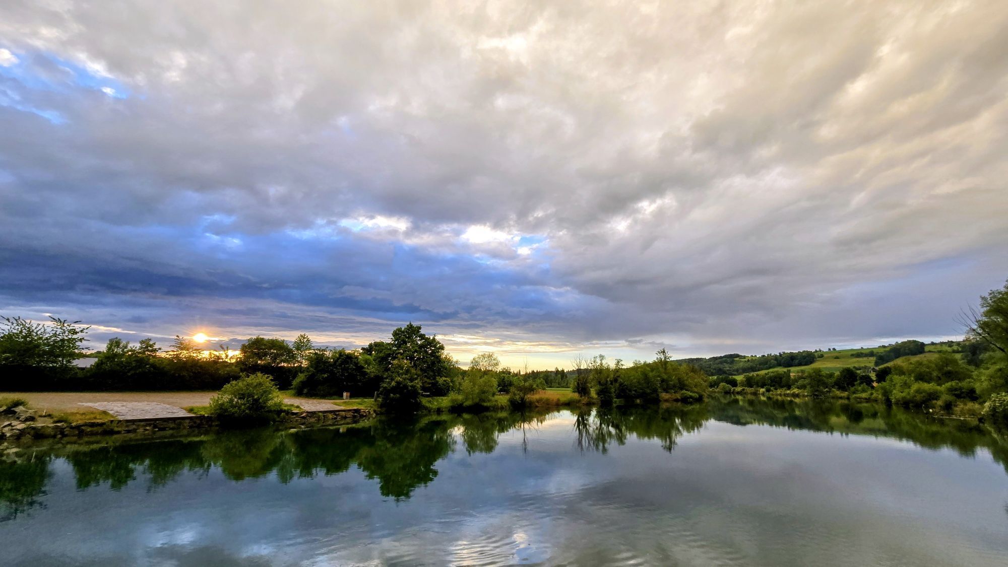
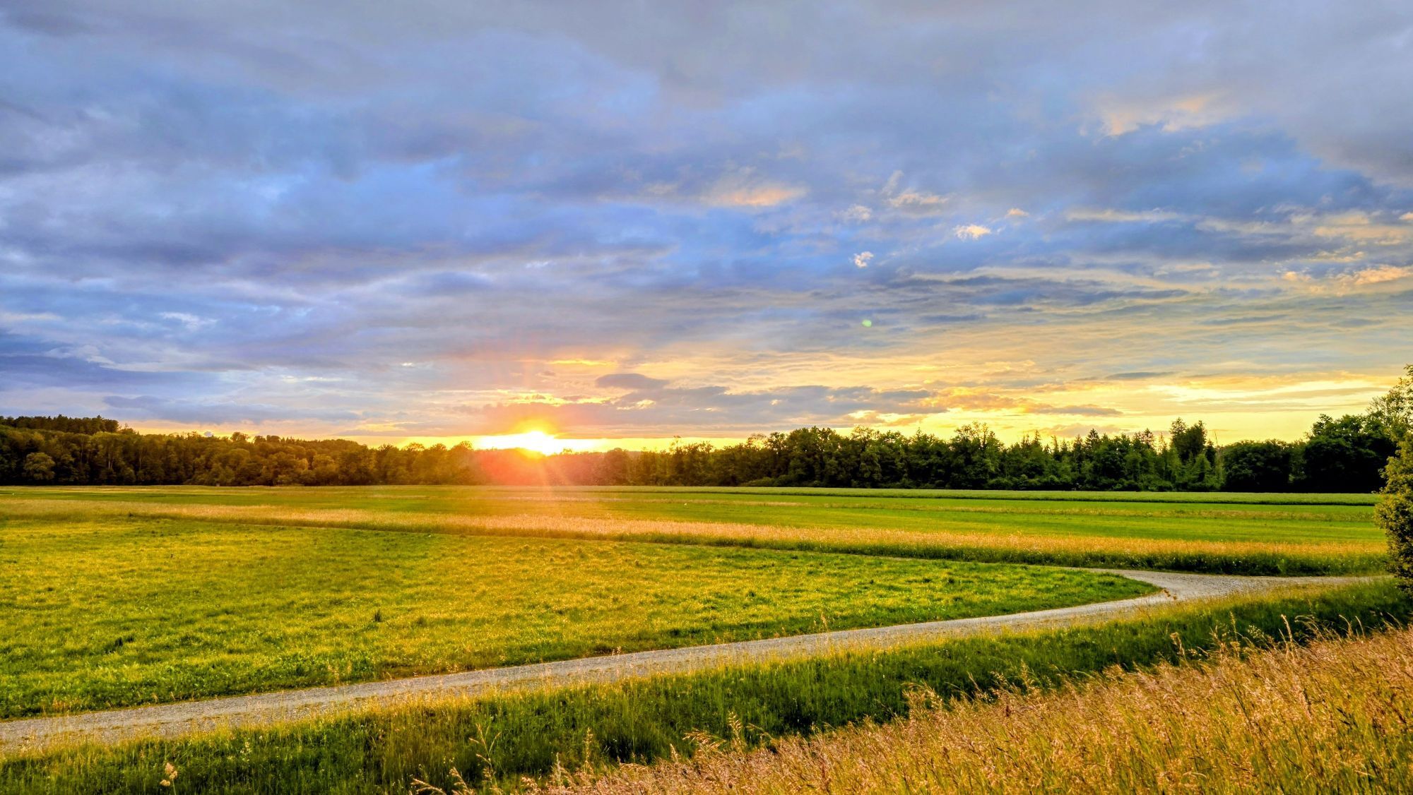
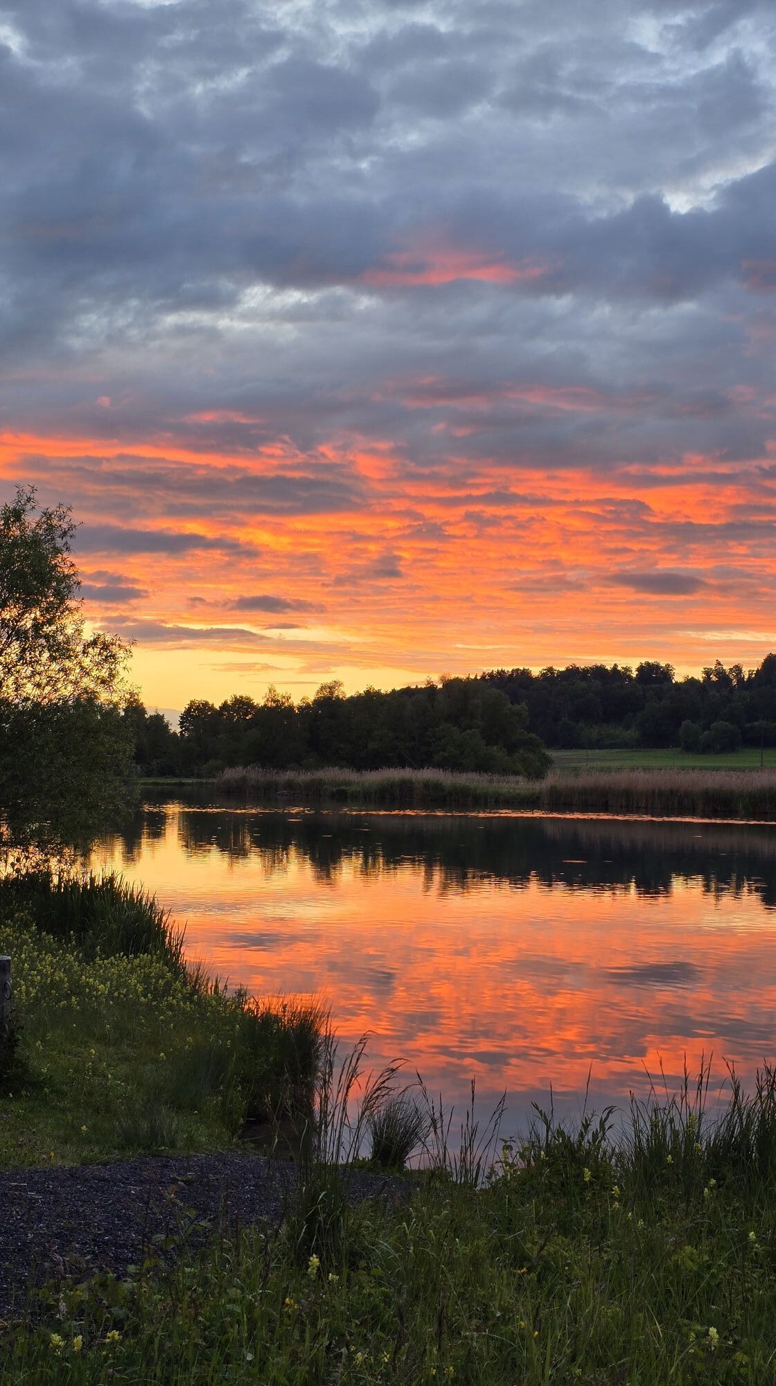
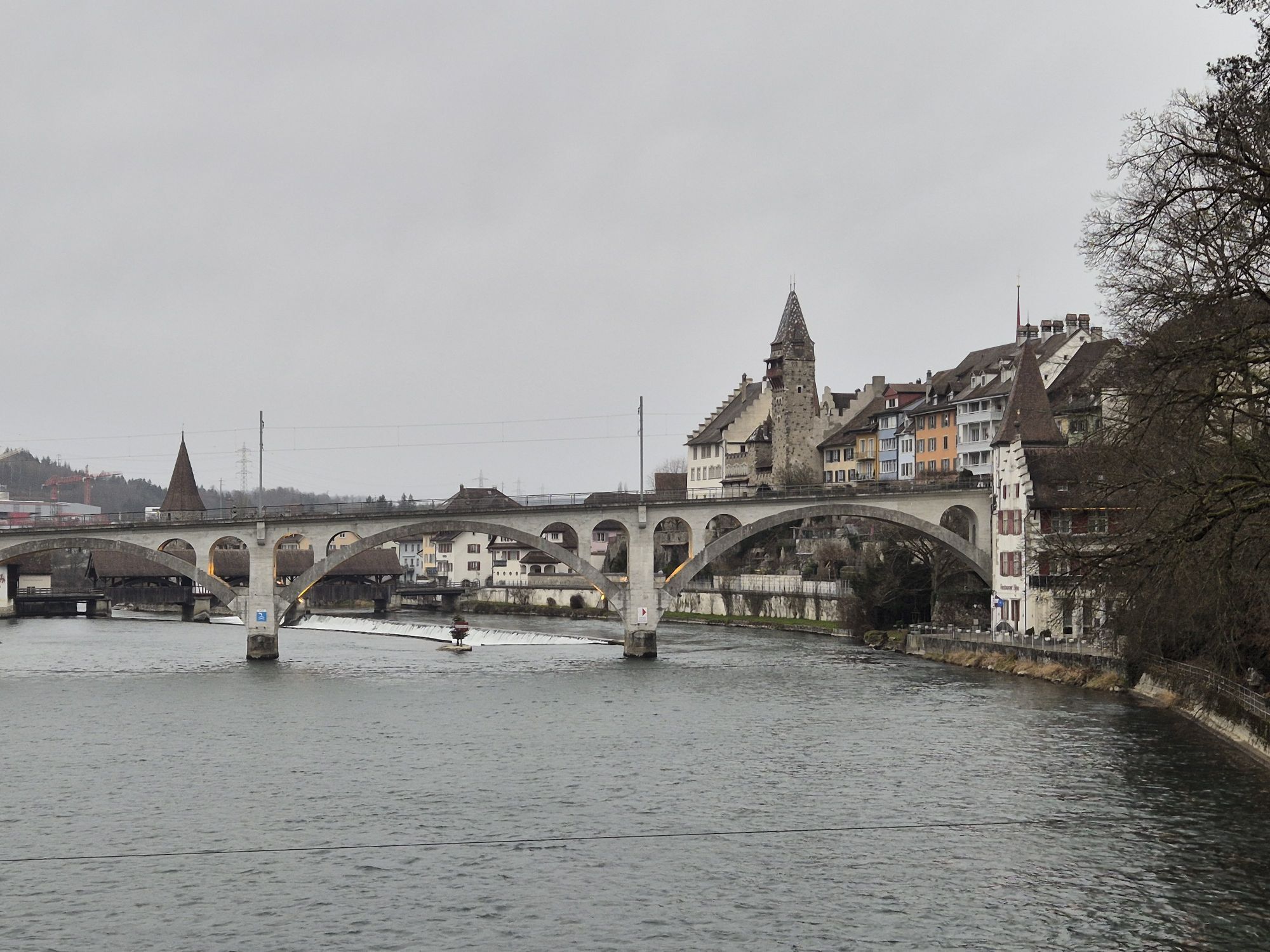
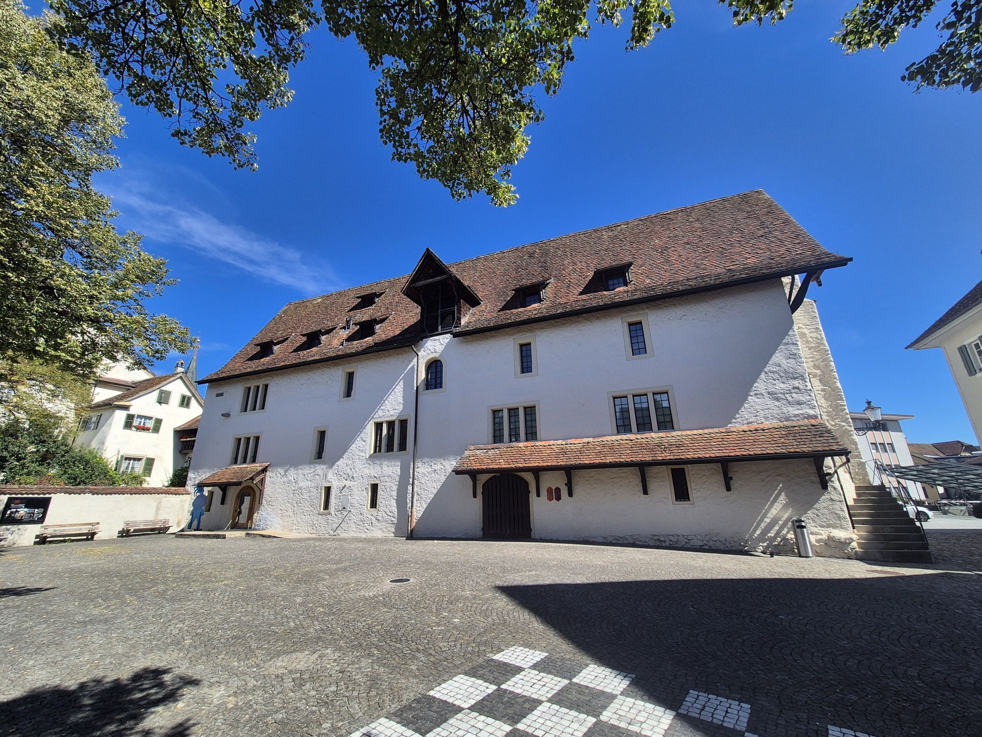
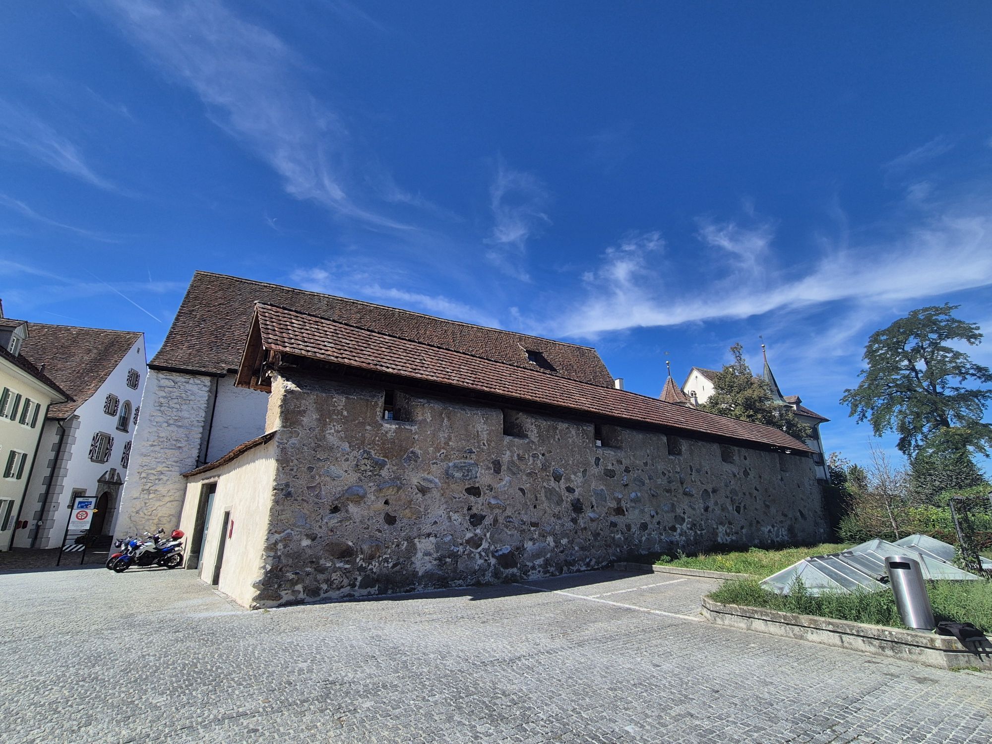
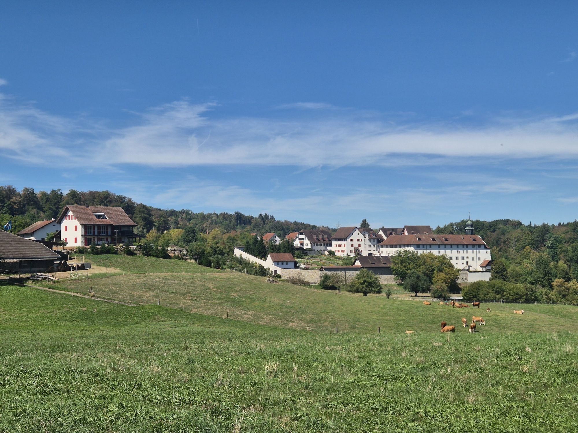
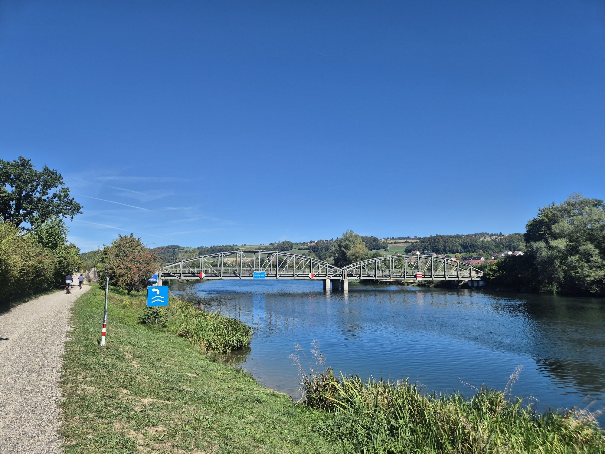
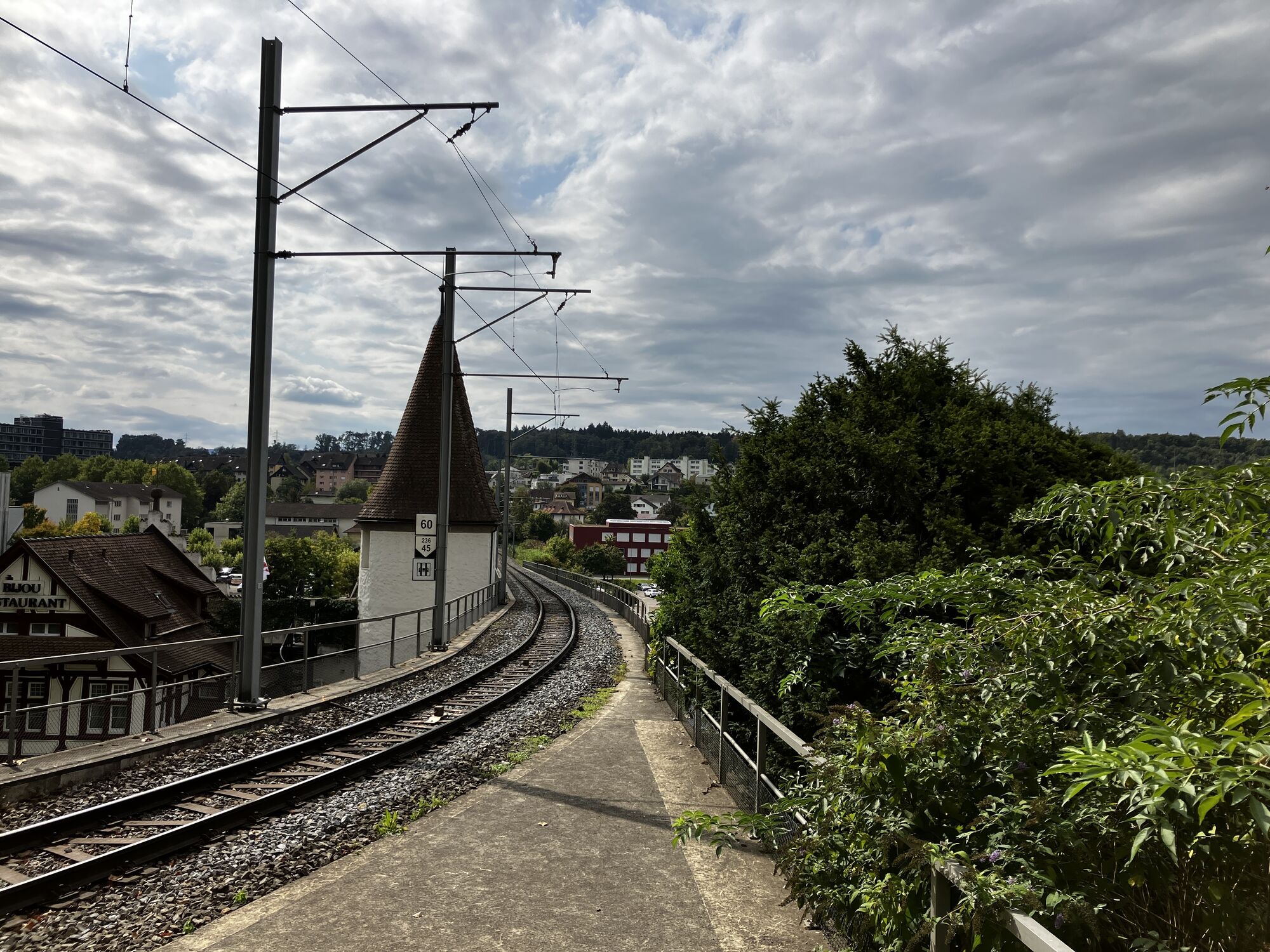
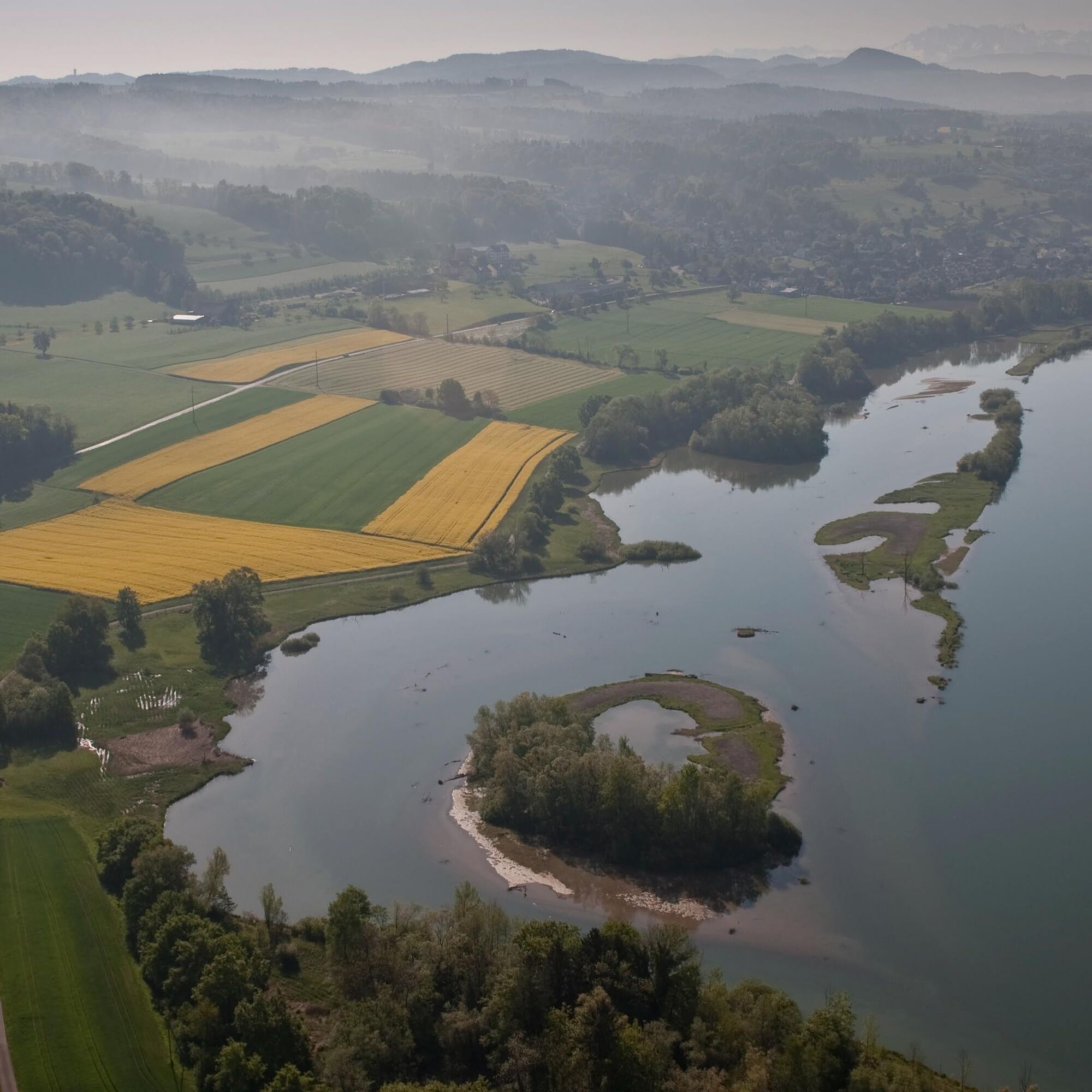
From Rottenschwil, the path leads towards Flachsee, an artificial biotope created by humans and a nationally important bird sanctuary. The signposted hiking trail crosses the protected wetlands of the...
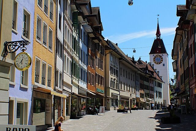
From Rottenschwil, the path leads towards Flachsee, an artificial biotope created by humans and a nationally important bird sanctuary. The signposted hiking trail crosses the protected wetlands of the Reuss plain. About one kilometer before Bremgarten, you can cook directly on the riverbank. After lunch, the hike continues a little further before the historic old town of Bremgarten comes into view.

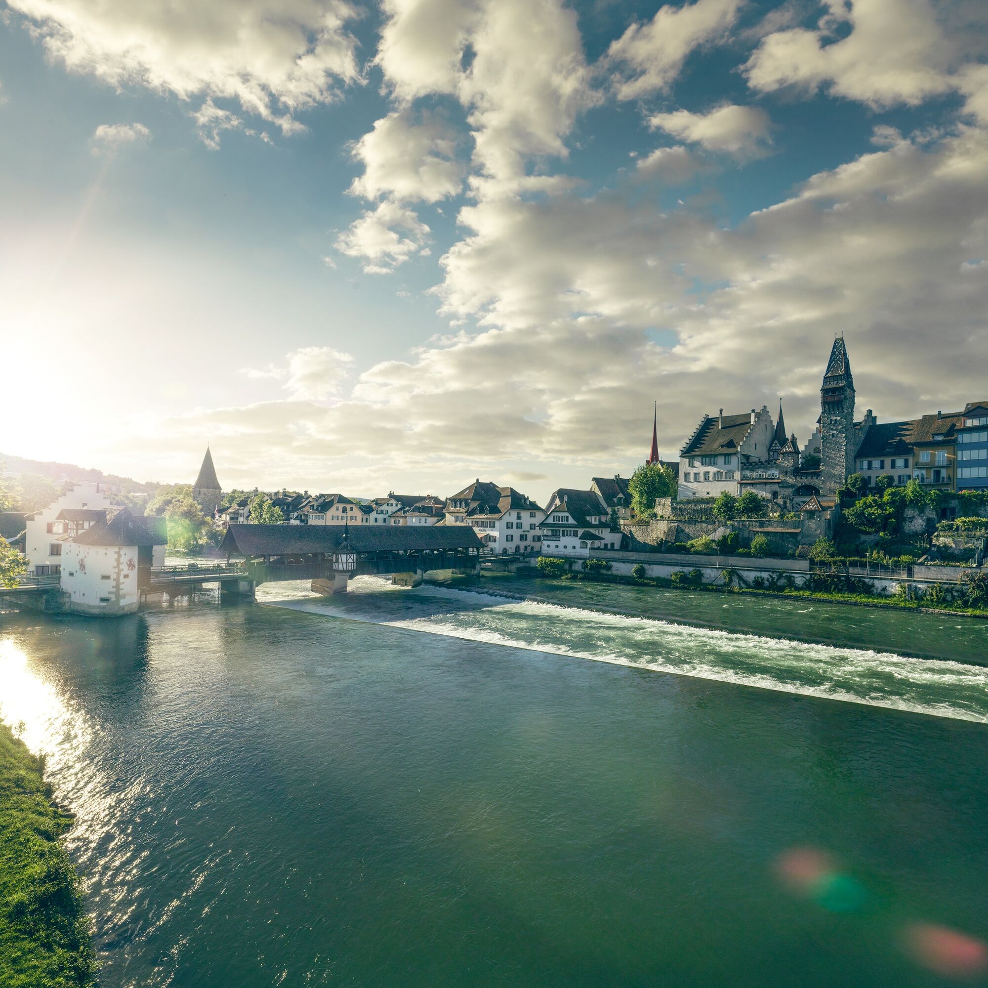

The hiking trail is signposted (Aargau Trail - SchweizMobil No. 42)
By postbus to the Rottenschwil, Hecht station. Return from Bremgarten station.
A guided city tour is especially recommended.


Popularne wycieczki w okolicy
-
4,0
Rund um den Hallwilersee
światłoWędrówka 22,2 km -
5,0
190925 Uetliberg Felsenegg 5,9 km + 255 m - 313 m
światłoWędrówka 5,81 km -
4,5
Schönes Jonental
światłoWędrówka 4,91 km -
4,2
Hillz - Uetliberg - Bürglen - Sihlbrugg Station
średniWędrówka 20,0 km -
Zürich-Uetliberg-Albispass-Langenberg-Sihlau
średniWędrówka 21,4 km -
5,0
Lakeside path Seerose - Seengen
Wędrówka 5,79 km -
4,7
Zürich - Uetliberg - Hohenstein - Albisrieden
średniWędrówka 9,28 km -
5,0
Uetliberg - Adliswil ohne Seilbahn
średniWędrówka 11,1 km -
Habsburg Route 5th stage: Mellingen - Bremgarten
średniWędrówka 14,2 km -
4,0
Waldlehrpfad Emauswald
światłoTrasa tematyczna 3,91 km
Wędrówki i tropienie


Nie przegap ofert i inspiracji na następne wakacje
Twój adres e-mail została dodana do listy mailingowej.


